Not the start I imagined
At first I wanted to start from Romania but my friend, a mountaineer from Cluj, warned me there was too much snow in winter and there were some unfortunate deaths in Făgăraş. I need not think for long about the starting point on the other end of the Carpathian arc. Svatý kopeček (363 m alt.) near Mikulov was my obvious choice. The hill oversees the picturesque town and provides beautiful views over the border to Austria to see the westernmost soft hills of the Carpathians. I have been there many times but one moment stays particularly in my mind. 35 years ago I visited the place with my father and brother. We were watching Austrian farmers doing peacefully their fieldwork while on the Czechoslovak side there were multiple fences, watchtowers and border patrols were driving their vehicles there and back. I clearly felt in my child soul, that there is something wrong with our country, not with theirs.
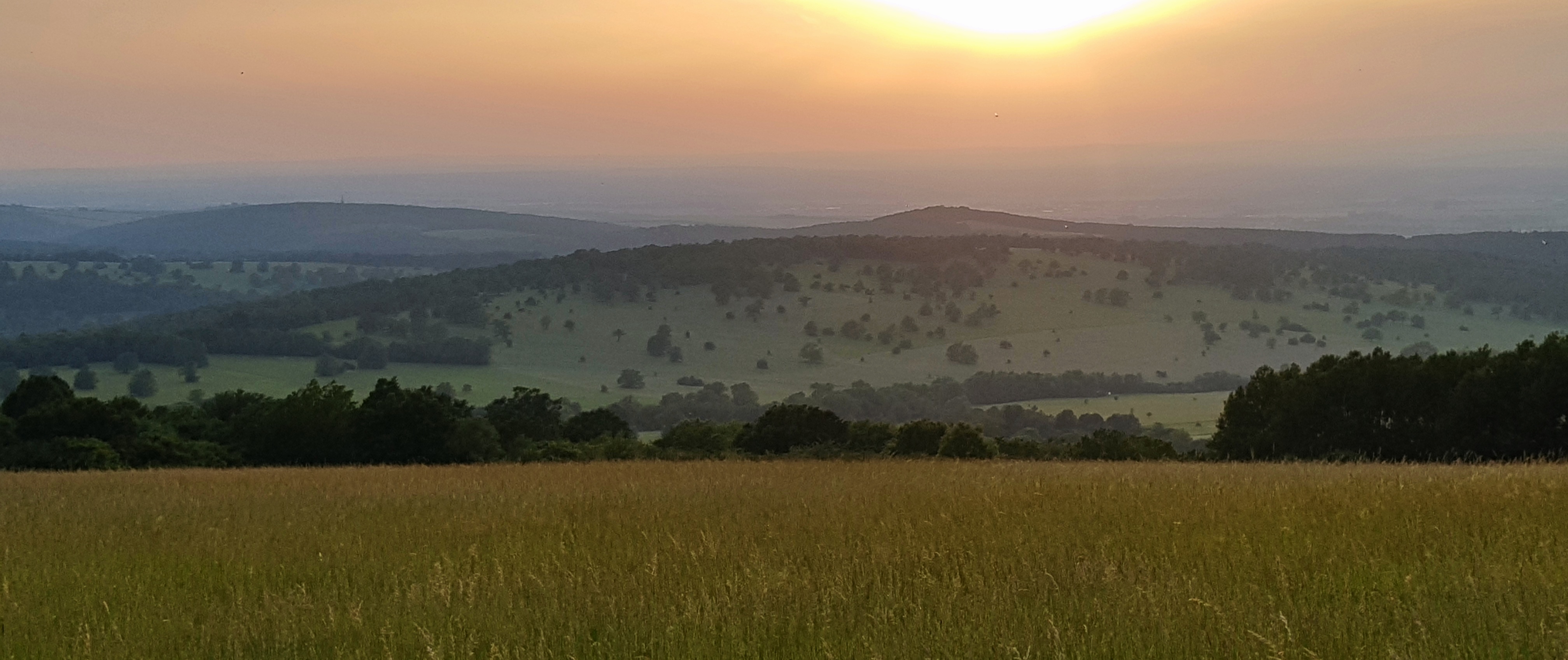
So on 10th June 2019 I climbed up the Way of the Cross that leads up on the hill again. My mood was not uplifting as I had been expecting. Quite the contrary: I felt physical fear. The fear that gives you sick feeling. I could not imagine I am able to make the journey. I was thinking about my family and all the other good things I could do. Shall I ever see them again? I felt Christ’s suffering is symbolizing mine in the nearest future. The hill was empty when I came but before I ate my breakfast it became busy place of parents on their walk, runners and a schooltrip came too. I felt quite shy to make the introductory video especially when I could not mount the camera properly on my trekking pole.
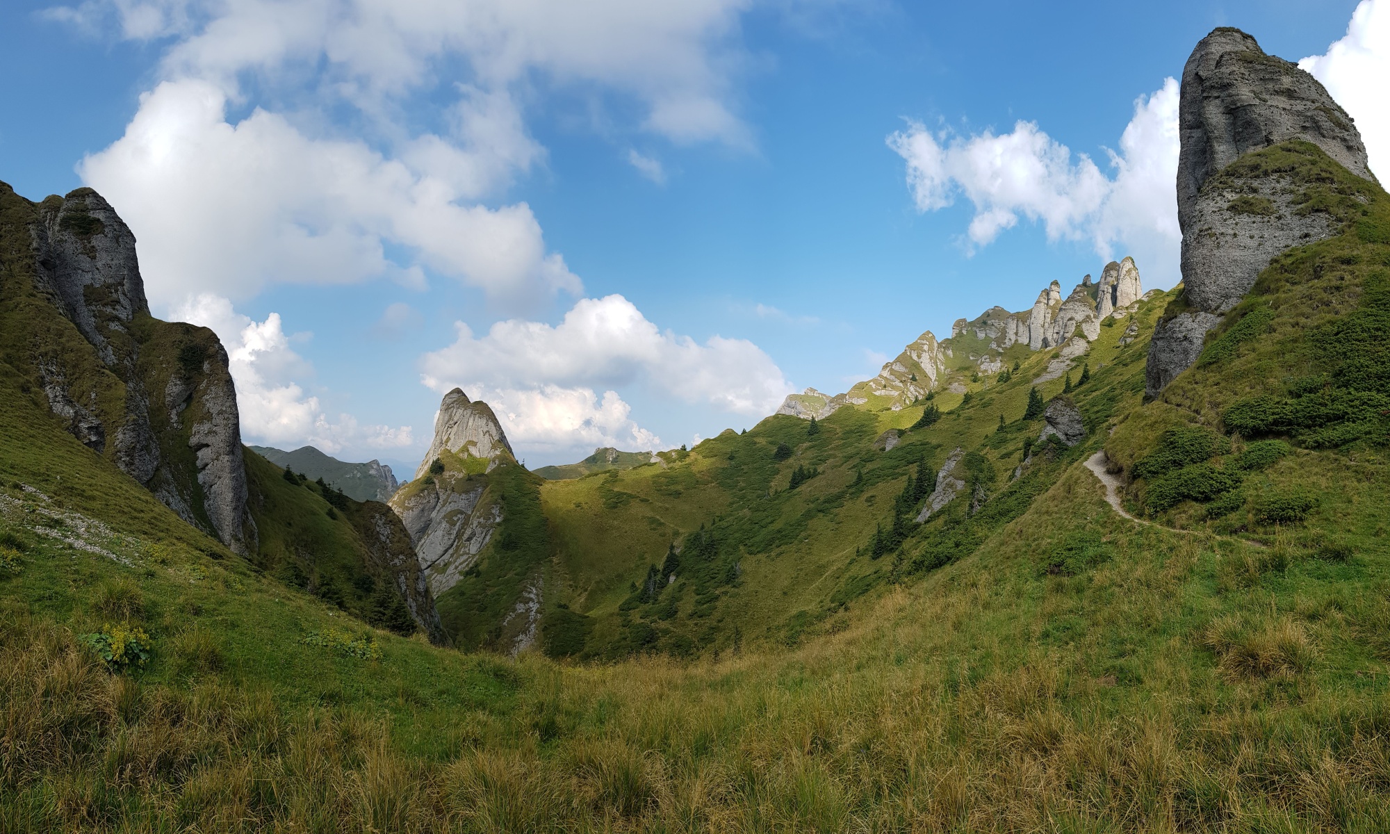
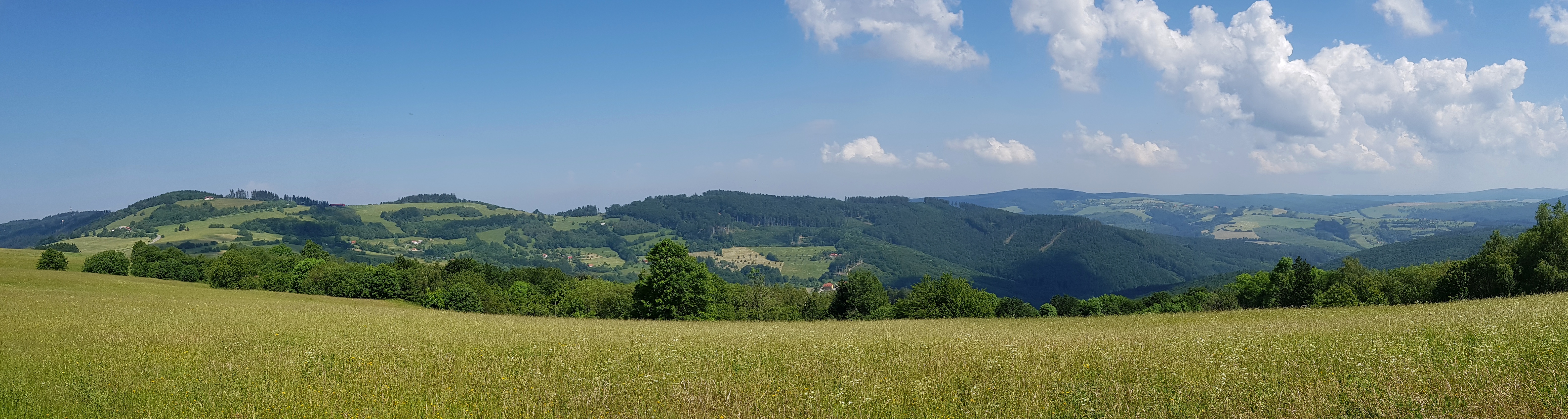
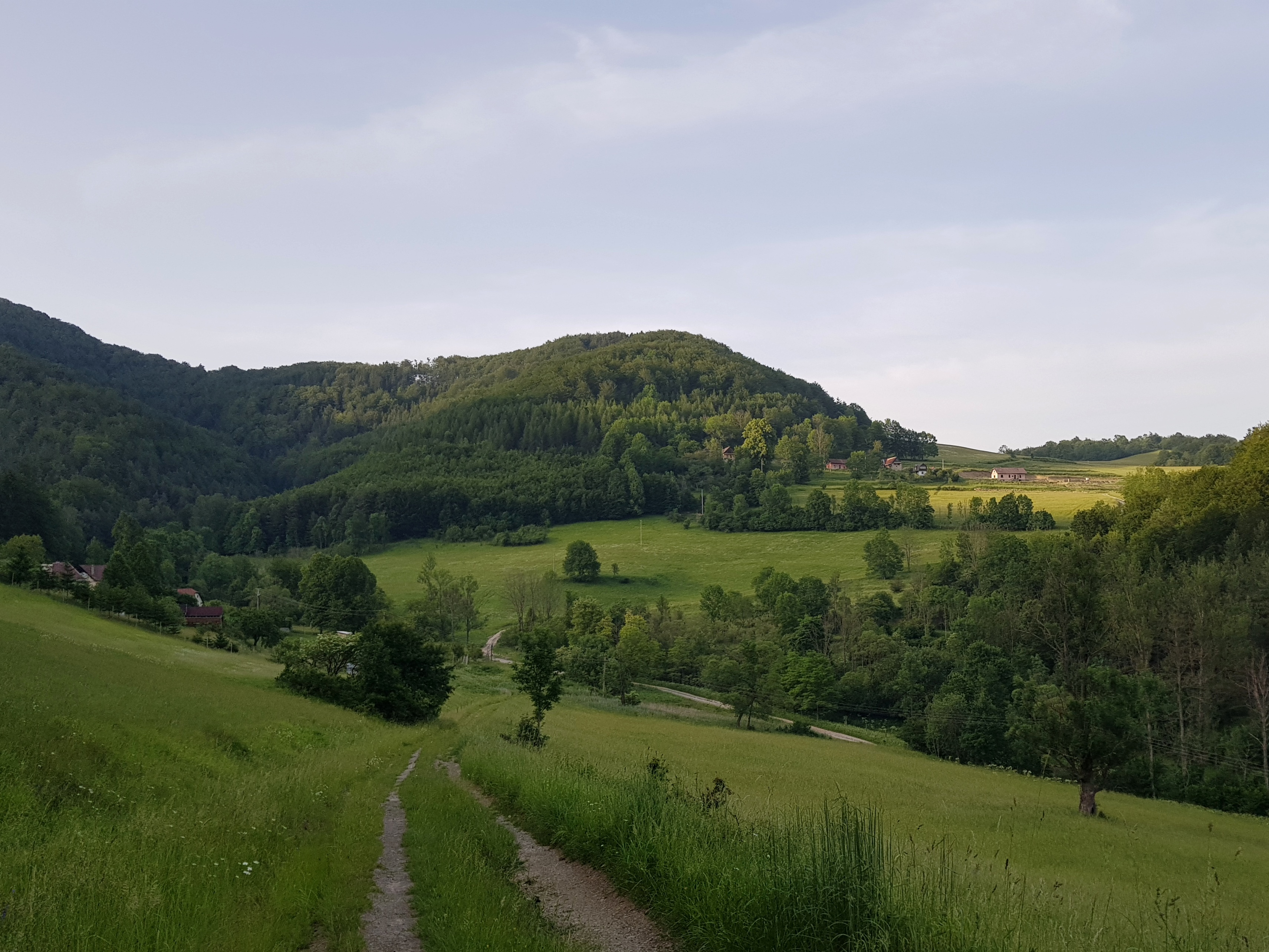
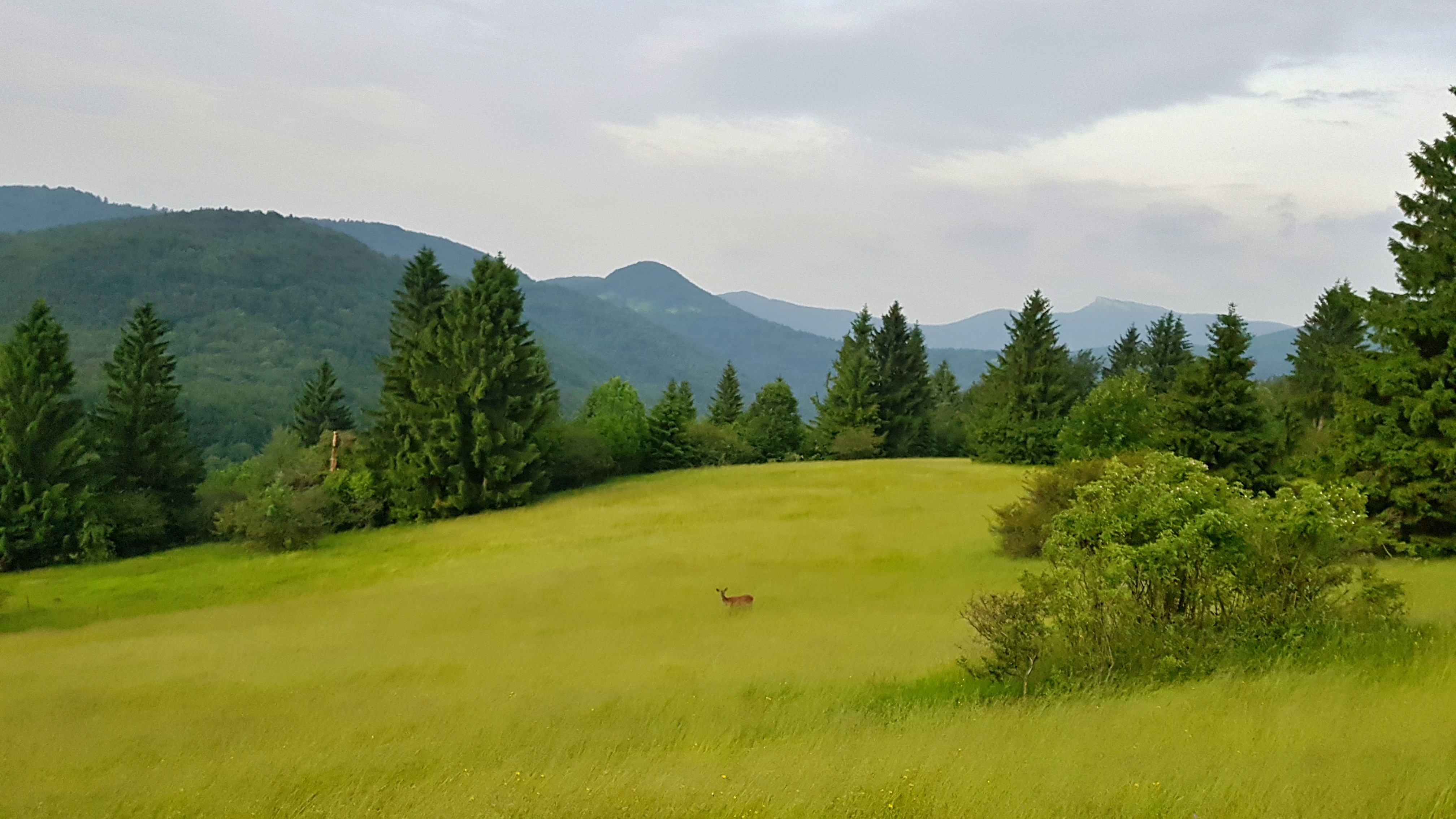
Pálava north from Mikulov is a few kilometres long limestone cliff with huge significance both from natural and cultural viewpoints. Different groups of refugees settled the villages below (Bulgarians, Croatians, Jews, Swiss Hugenots), Romans chose the site for their military camp and paleolithic hunters made it world famous. They were watching for game migrating north-south through the corridor between the Carpathians and the highlands to the west. 25 thousand years ago they were able to make fine art, turn clay into pottery and some archeologists believe even make nets and textiles. The highest point of the cliff is about 550 m above the sea level.
I soon realized that the way I had exported maps to smartphone was not particularly useful but while downloading new ones in a restaurant in Pavlov I was again attacked by fear. Big non-structured fear from what is ahead. I could not look at the maps, I felt overwhelmed by the distance.
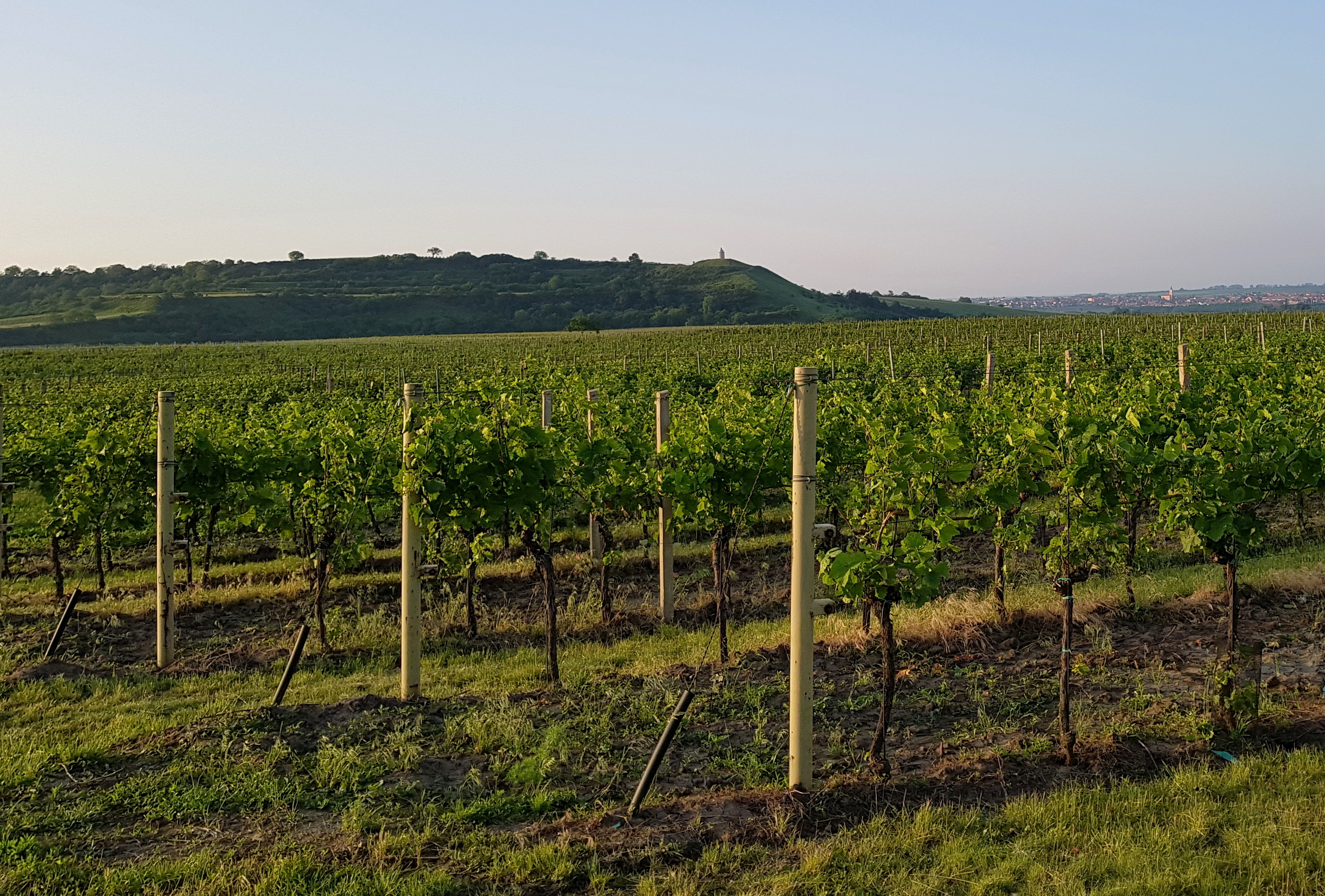
The rest of the day it was just walking on paved roads which made my legs aching. I found a place among vineyards of the Blue mountains for overnight.
Though I thought I fell asleep immediately this did not happen due to mosquitoes trying to get some advantage of me. I might not be right but it seemed to me that they avoided my sailor shirt.
Blue mountains
I started to walk at 5 in the morning on Tuesday 11th June to avoid the hottest part of the day. Blue mountains are soft hills covered by vineyards and fields of other crops at altitudes about 250 metres. This is agricultural land with large and rich villages. Where possible, I used the fact it was already cherry time in this warm region.
I knew there is a lunch waiting for me in Dubňany where my father lives with his girlfriend. 5 km from there at about noon I laid down under an oak tree near a railway and could not move further. The backpack felt heavy, it was hot, my shoulders and legs were aching. It took lot of strength to start walking again. How can I make 2000 km when I am not able to get to the nearest village?
I clearly knew I had made a mistake. My food sack was 4 kilos while there were villages and restaurants all around me. When I finally made it to Dubňany I packed half of the food and sent it to Slovakia so it could wait for me there. I also got rid of other stuff reducing the baseweight of about 400 grams.
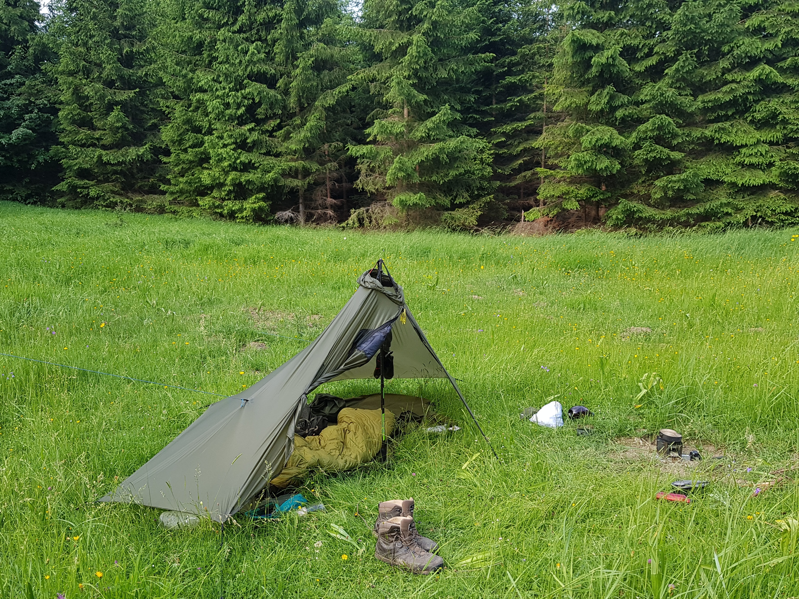
After a lunch and a short nap I regained strength and started walking in the evening. My father was helping me with the backpack for a mile, then we hugged and wished good luck. Till the dark I made it near Rohatec, which is on the bank of Morava river (170 m) – the second lowest point of my journey. The night turned into mosquito inferno. I ended up sweating in my sleeping bag, my small mosquito net over the bag’s entry hole and my woodstove fan pumping some air into it. My sleep deficit rose to 15 hours over 3 days.
Not allowed to see my work
Wednesday 12th June morning I realized I locked my phone the way I could not unlock it. I was not able to find solution as I was not online, I could not call, but I could receive calls and if you believe in telepathy or not, my wife called me. To avoid factory reset I needed connect wired keyboard to the smartphone, which meant loosing 1,5 hours returning back to Sudoměřice village and asking for a USB keyboard. Fortunately I got adapters with me. The officers in the village house were quite surprised but I was happy that it worked.
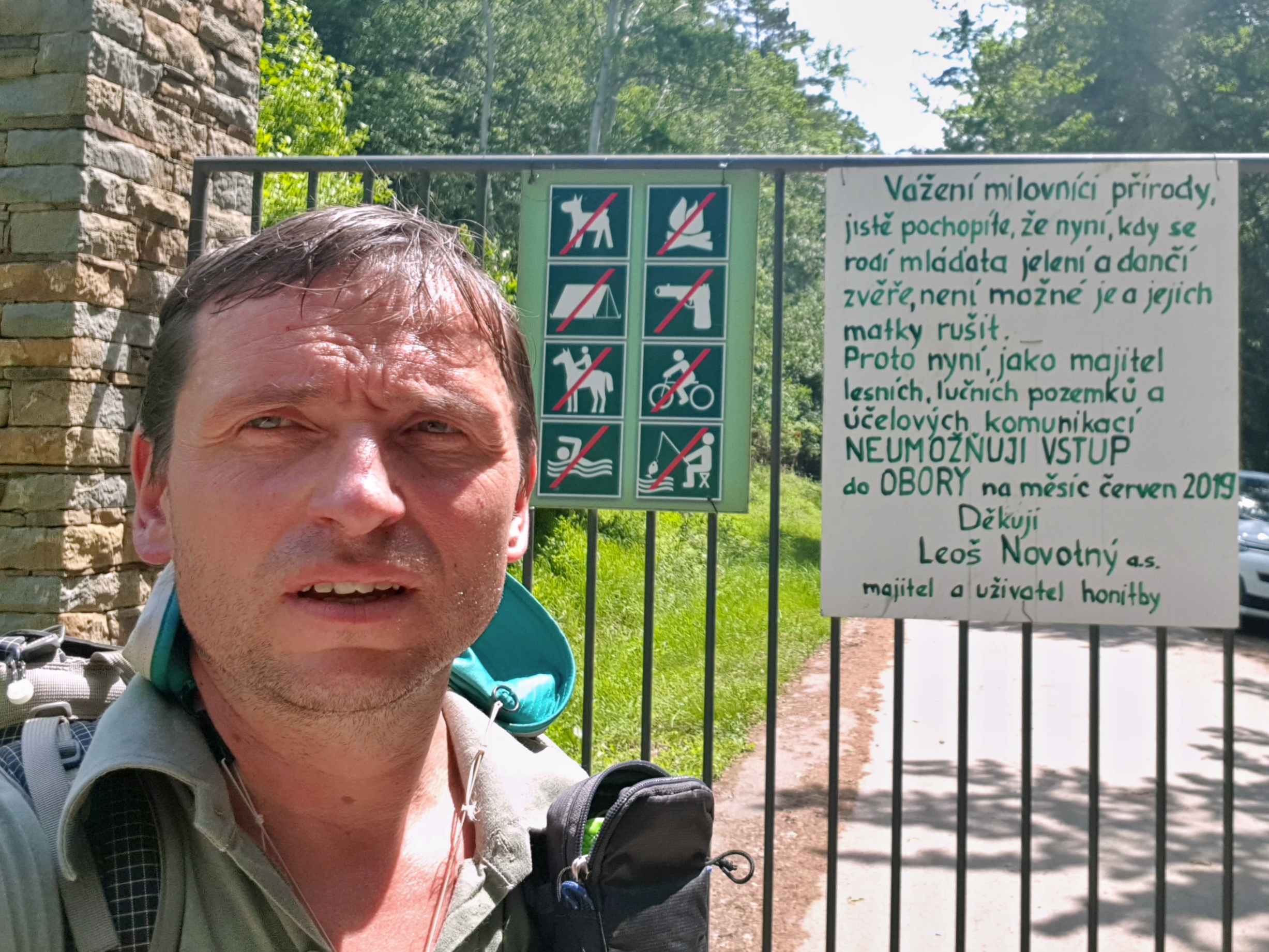
Another shock came few hours later. The Radějov game reserve I wanted to go through was closed for June and I needed to make a significant detour. To understand why I was really angry, we need to go back 30 years. At that time I was spending weekends and weeks of holidays coming to this place trying to safe orchids and flower rich meadows. We were mowing them with scythes as locals were not interested and removed thorny bushes that started to grow there taking the habitat over. And then in later 1990s came this man – Leoš Novotný, who made money by selling a company my grandfather helped to establish in 1937, and made it a private game reserve. I was looking forward to see familiar places again and instead of that I lost half a day detouring. Someone privatized tens of thousands hours of volunteers’ work not even mentioning this on the info panel where he claims how great it is for the nature he is keeping his game there.
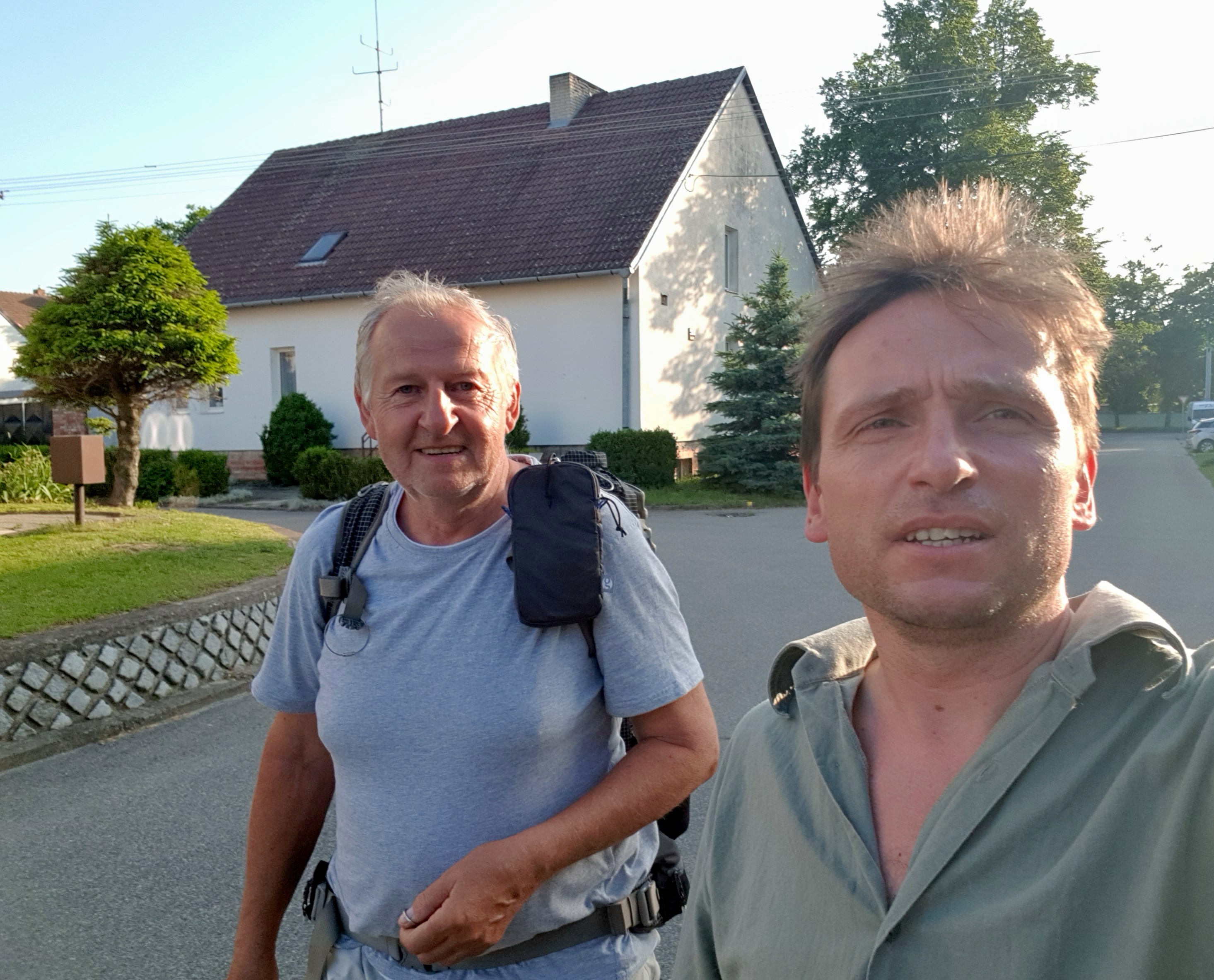
Lučina is a nice natural swimming pool located half an hour walk from an iconic Čertoryje national nature reserve. For me it had been a place of surprise meetings several times before and this time I met David. David was member of a youth club I led, that was focused on environment and natural history. He is now over 30 and was proud to introduce me his girlfriend.
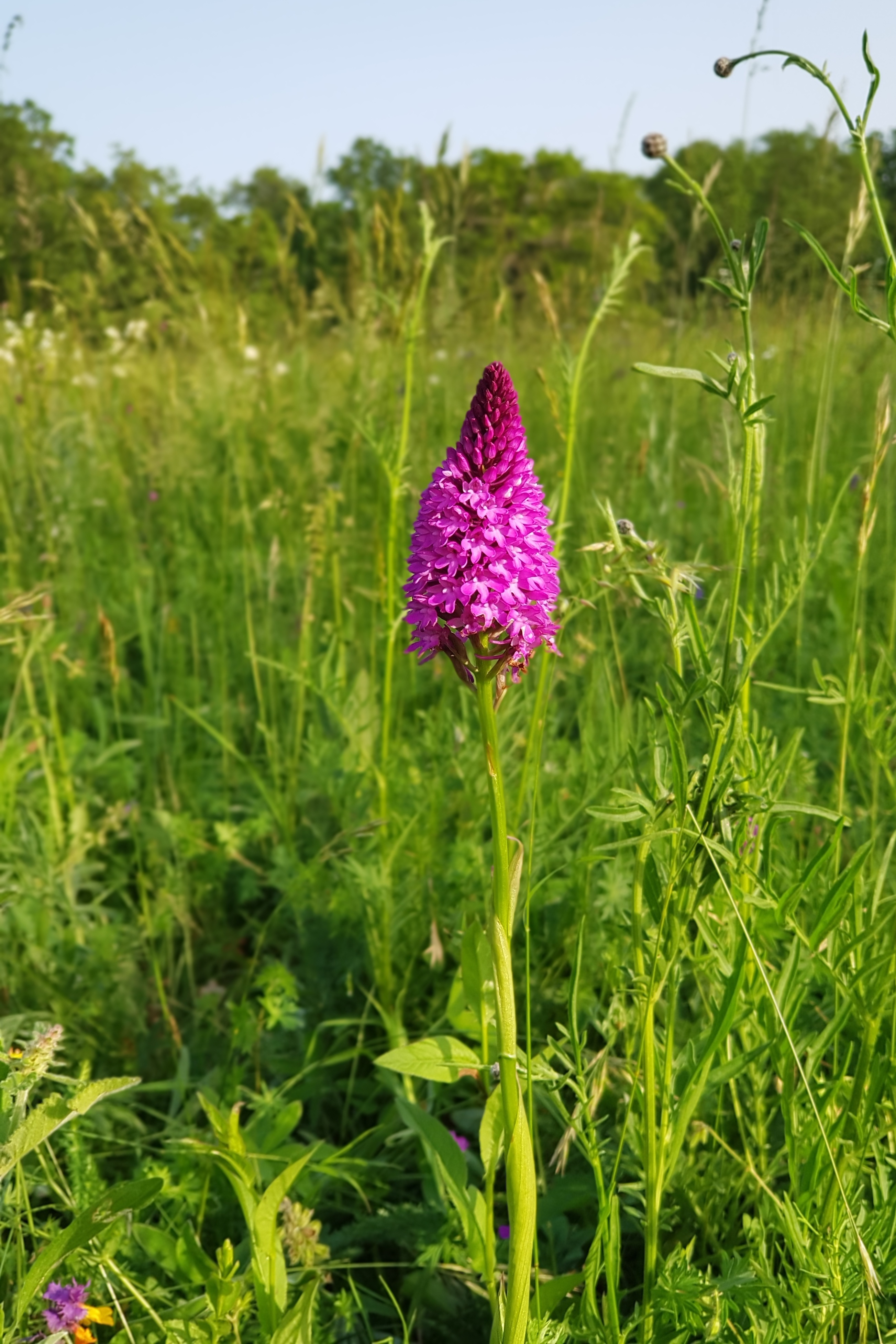
After having a cooling swim I walked through the gems among the flower-rich White Carpathian meadows. It was soft evening light, the warm wind was blowing from the Morava lowland and I was the only person I could see around in the sea of flowers and grass in Čartoryje. Sheer beauty of White Carpathians returned peace to my mind.
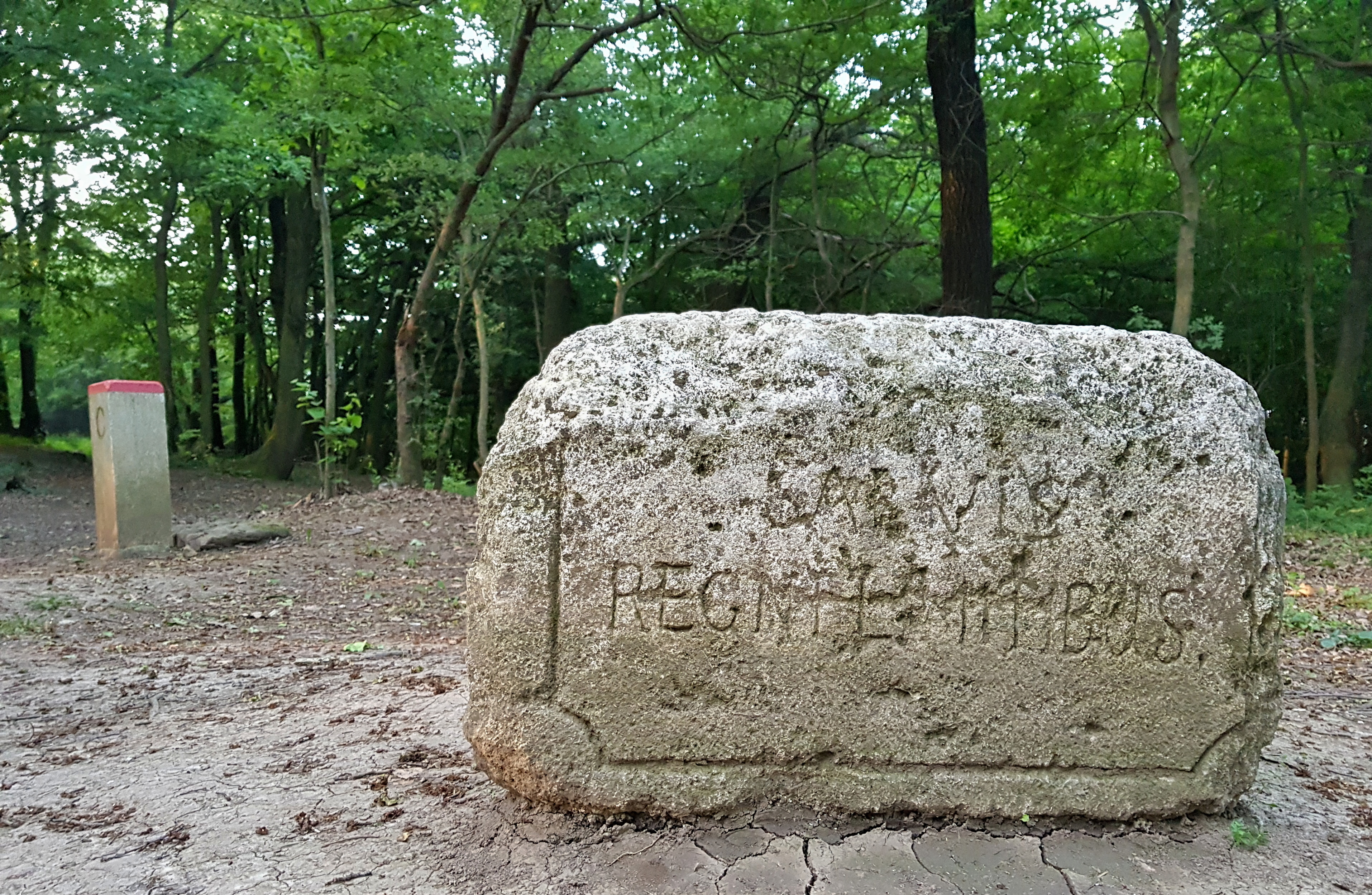
Unfortunately, bivouacking near centuries old border stone of Hungarian empire was again accompanied with squealing of mosquitoes.
On the long-distance hiking trail
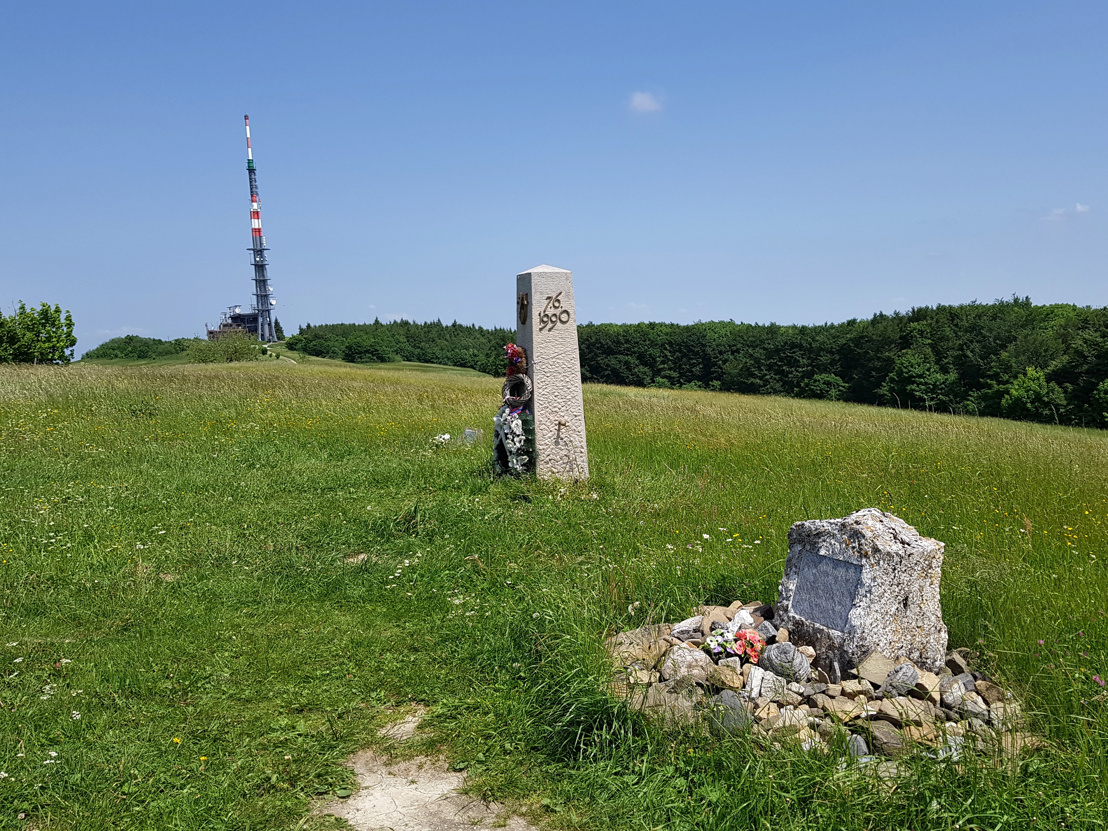
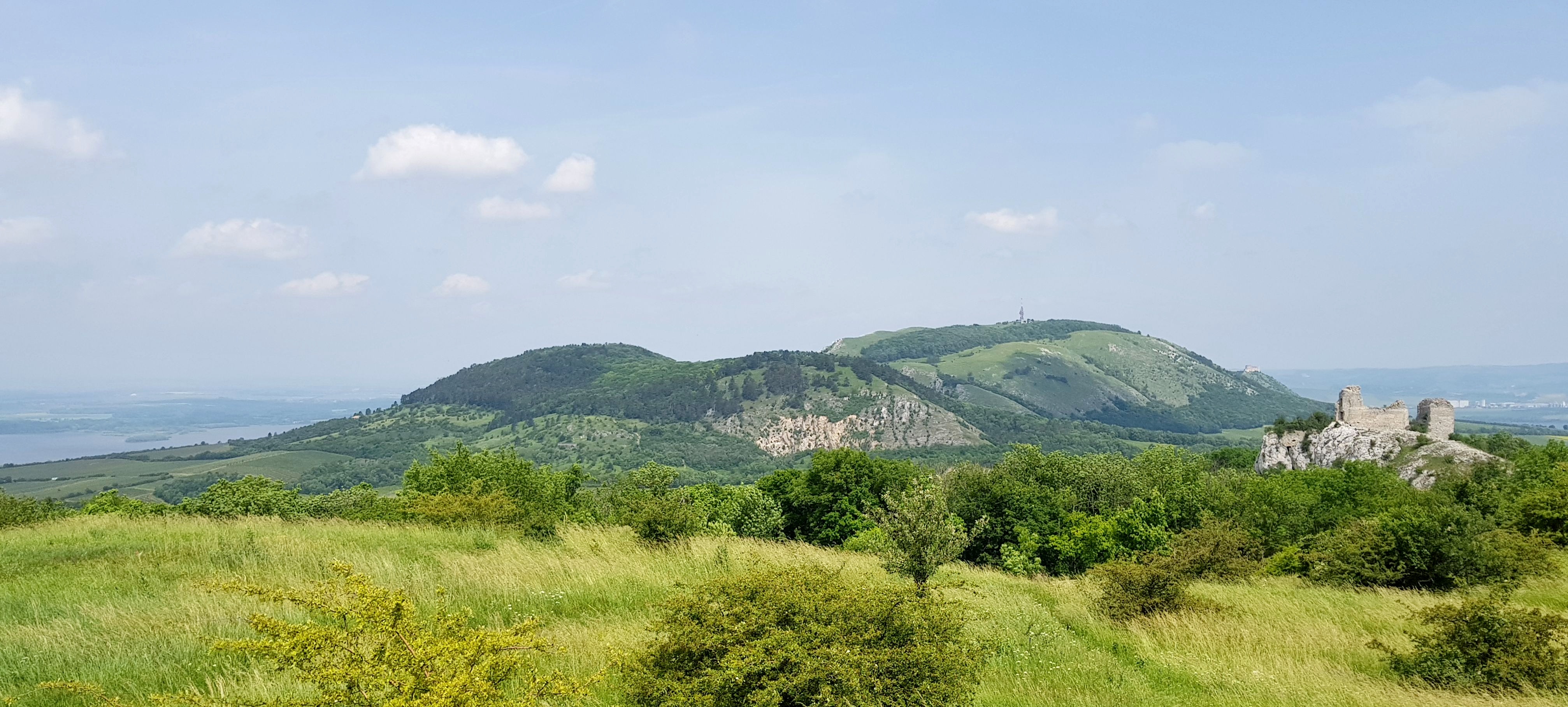
Memorial of Czech ecologist Josef Vavroušek (R), monument of Czech & Slovak brotherhood and a telecommunication tower
I tried to catch up what I missed the day before on Thursday 13th June. I hiked fast through the White Carpathians brushing memories of many previous hikes. Before noon I came to E8 route, popular Slovakian long-distance hike – Trail of the Slovakian Uprising Heroes. Along with Polish Główny Szlak Beskidzki these two are the only long-distance hiking trails in real use throughout the whole Carpathians.
On the highest hill of the White Carpathians – Velká Javořina (975 m) I paid tribute to Czech ecologist Josef Vavroušek, who died along with his daughter under avalanche in the High Tatras.
There I met first two Slovakian long-distance hikers. They had been walking the E8 route from Dukla and started 20 days ago from the pass. This frightened me again. If it took me 20 days to Dukla, then I could hardly walk anything in Romania. I felt embarrassed when asked about my hike. These guys had been on the trail for 3 weeks, me just for 4 days, yet I dare to aim for the whole Carpathian arc. So I played my dream down by saying “But I can finish tomorrow, one never knows.” the phrase I would be later using many times throughout my journey.
I tried to get a windy spot on a meadow near Lopeník but mosquitos found me again increasing my sleep deficit.
Good-bye CZ
Friday 14th June started with beautiful walk through Moravské Kopanice – bucolic landscape of scattered settlements surrounded by small fields and meadows.
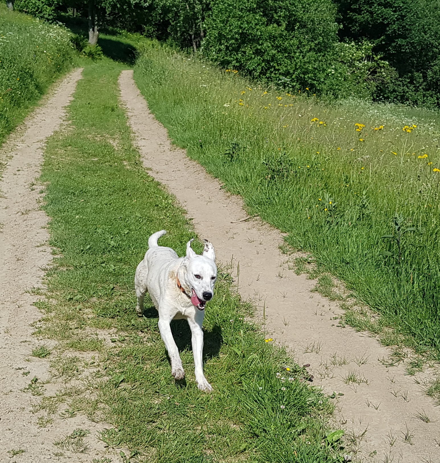
A dog willing to join me appeared at the Lopeník pass (753) but I refused its company wondering how my friend Lina Hallebratt is feeding her dogs during her journeys. Near Vyškovec I left the Czech Republic. Though the video does not show that, I felt a bit emotional.
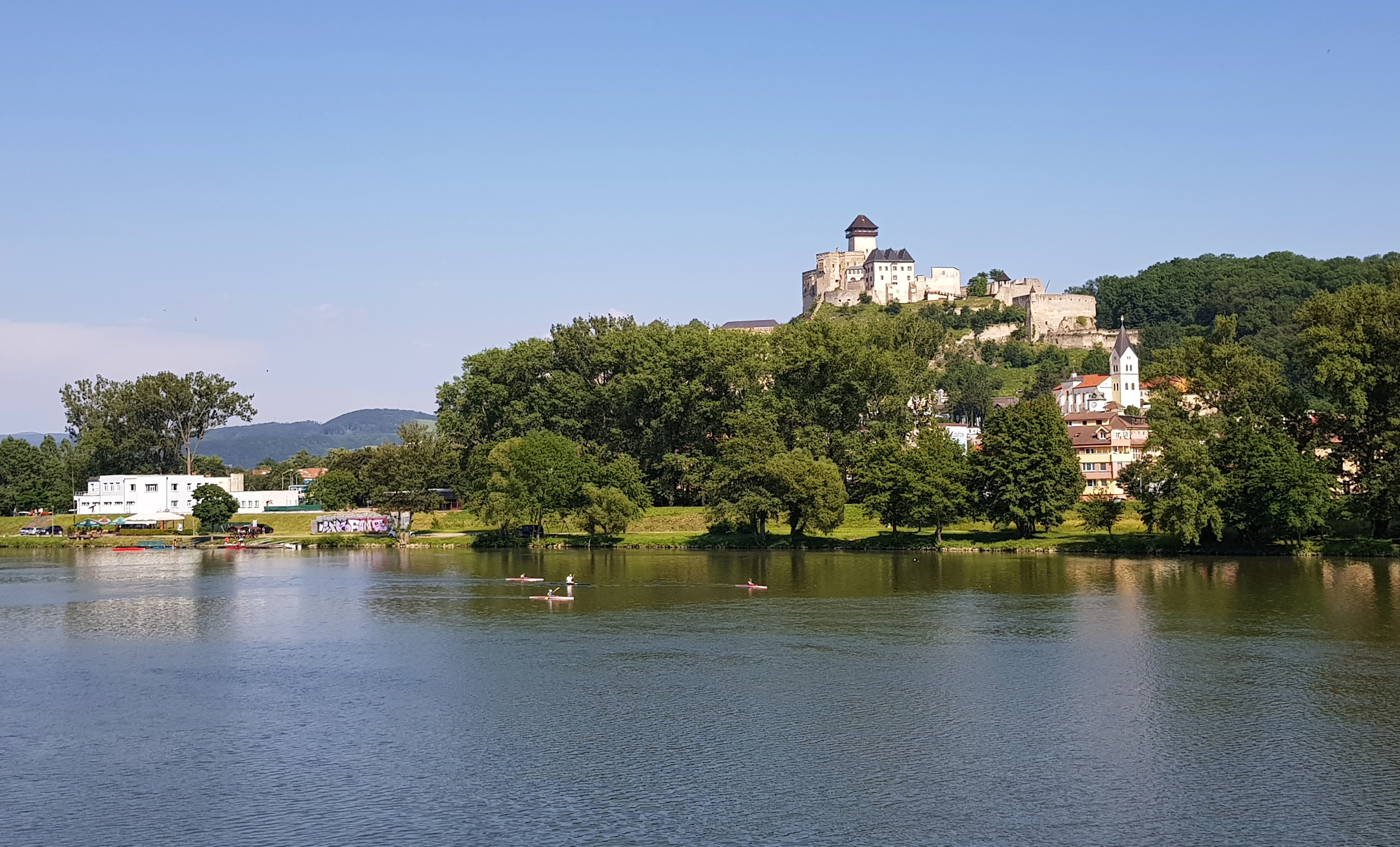
I washed my garment and bathed in Drietoma (325) river on the Slovakian side. In Trenčín I crossed the Váh river (204) that cuts Carpathians in the western and central Slovakia to two parts. I decided to walk south from the river. In this town, where my grandfather served during his military service in 1920s, I refueled and started hike to Strážovské vrchy.
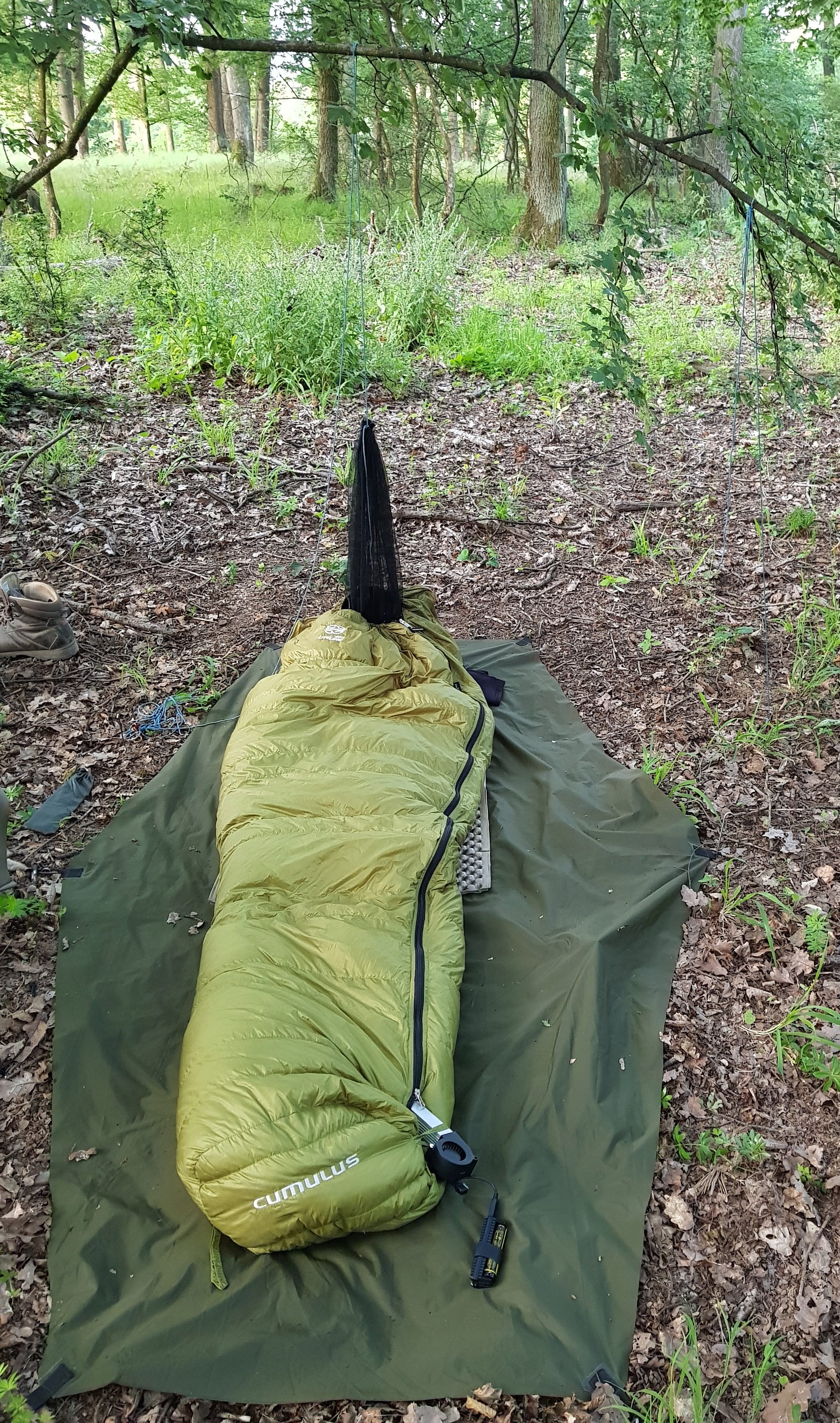
The spot for the night first seemed to be mosquito free but it again turned into another attack of the small torturers. I finally found out the way how to resist them: hanging my small mosquito net on a twig so it covers head entry hole of the bag and pouring cold air into the sleeping bag near my legs. This kept sleeping bag ventilated and mosquitoes could not get in. However, this consumed electricity. Another shock came when I realized that an app drained my battery overnight. I need to rethink my energy management. So from this day onward I only tracked with smartwatch and turned on the phone just for photos and orientation in the map.
Climate change in a remote village
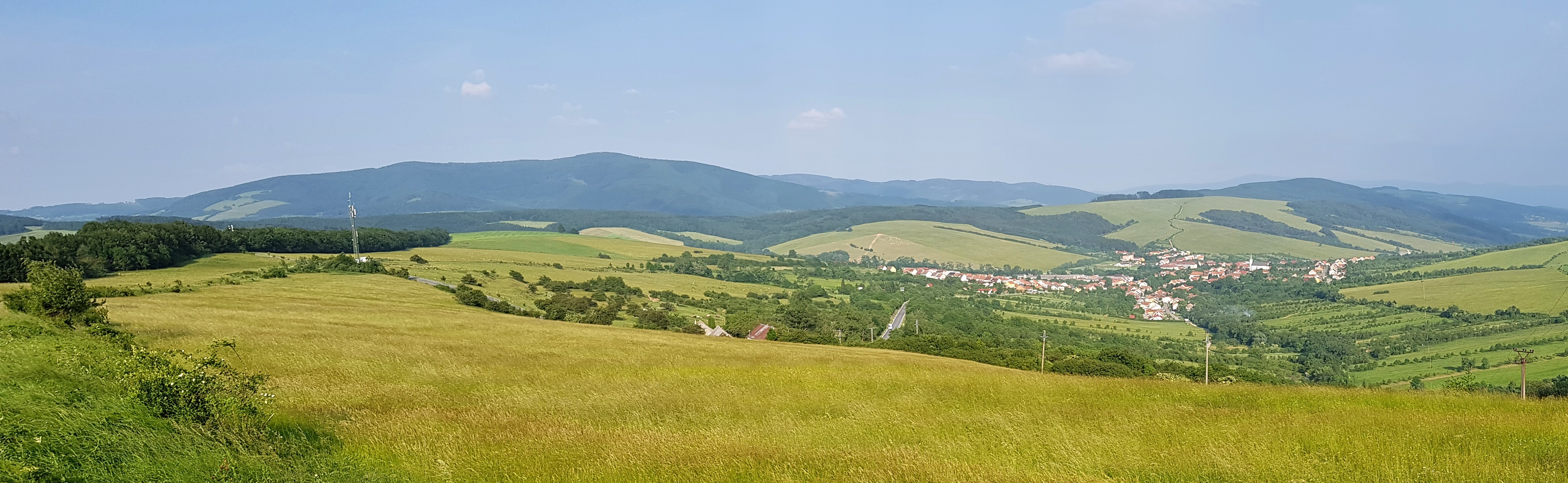
Strážovské vrchy is beautiful mountain range. It is lot of up and down walk but the flower rich meadows with white rocks on horizon are sheer beauty. It was Saturday 15th June so the experience got spoiled by off-road motorcyclists. Though it is probably not allowed (as in the Czech Republic), it can be considered a national sport for young Slovakians. I could constantly hear different bands racing through forests and meadows.
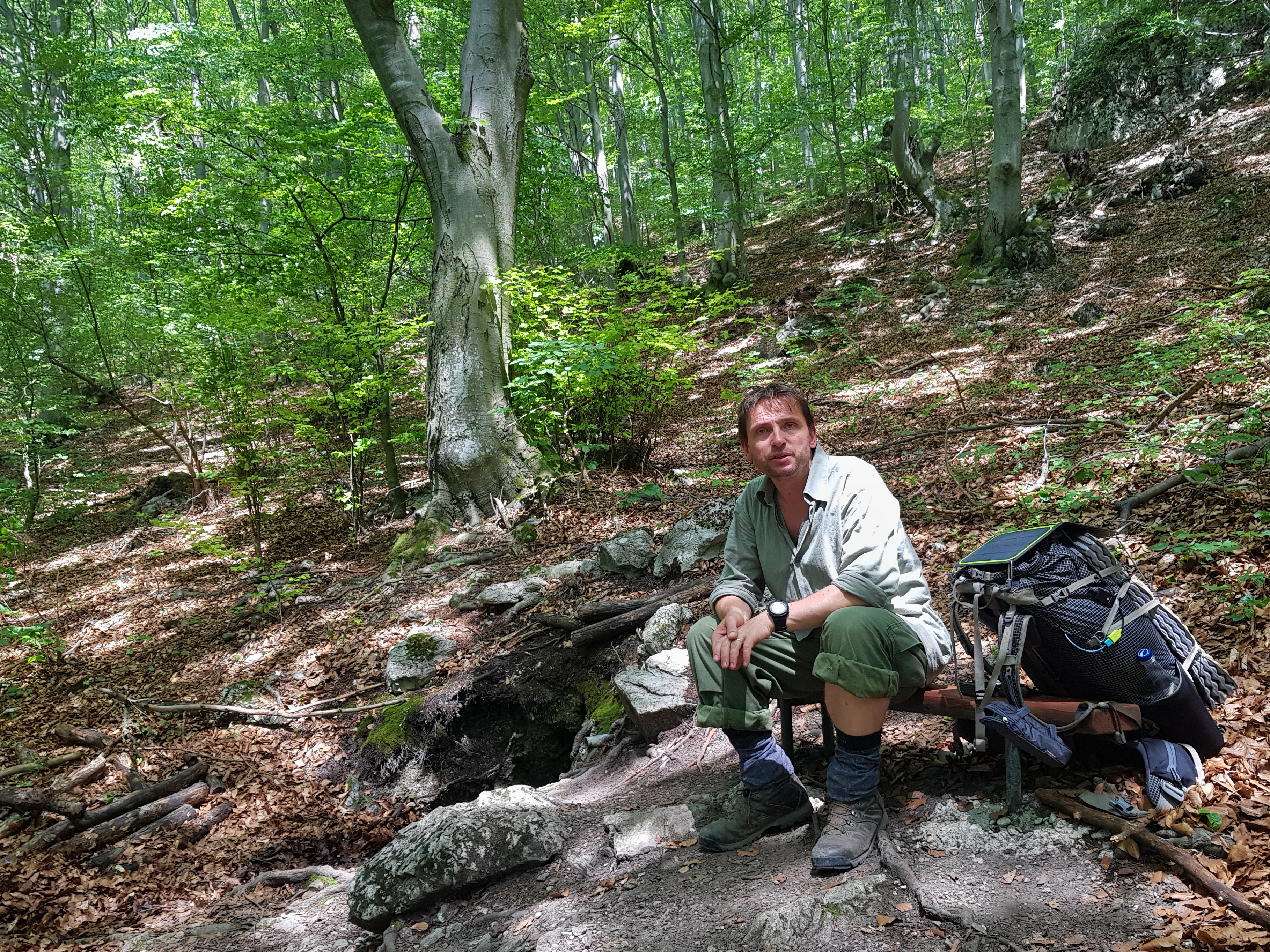
After passing below Vápeč (956) and recording the video above I stopped at about 5 pm at a water source to cook a dinner. A hiker appeared next to me, this one even on a longer hike from the Ukrainian border to Záhorie = further than most E8 hikers walk. It took him 20 days from the border. He gave me a tip on an electrical socket on the trail near Čičmany.
In Zliechov I dropped in to the local pub and chatted with couple of drunk locals while my smartphone and batteries were getting some juice. “There are no mosquitoes up here in the mountains, but things are changing. For example the ticks are starting to be a problem.” they told me. I ended the day on a familiar camping place under Strážov hill. As the weather forecast showed rain for tomorrow, I warmed up some water and tested my idea for hot shower using a pierced dry-bag. It worked perfectly so I also used the hot water for laundry and turned my mess kit into a washing machine.
The locals were right, as it is warming up the mosquitos are coming even here. Fortunatelly only handful of them so I could finally sleep for the full night. I can say I felt refreshed in the morning and confident that if something would not turn wrong, I could make it.
Above 1000 metres
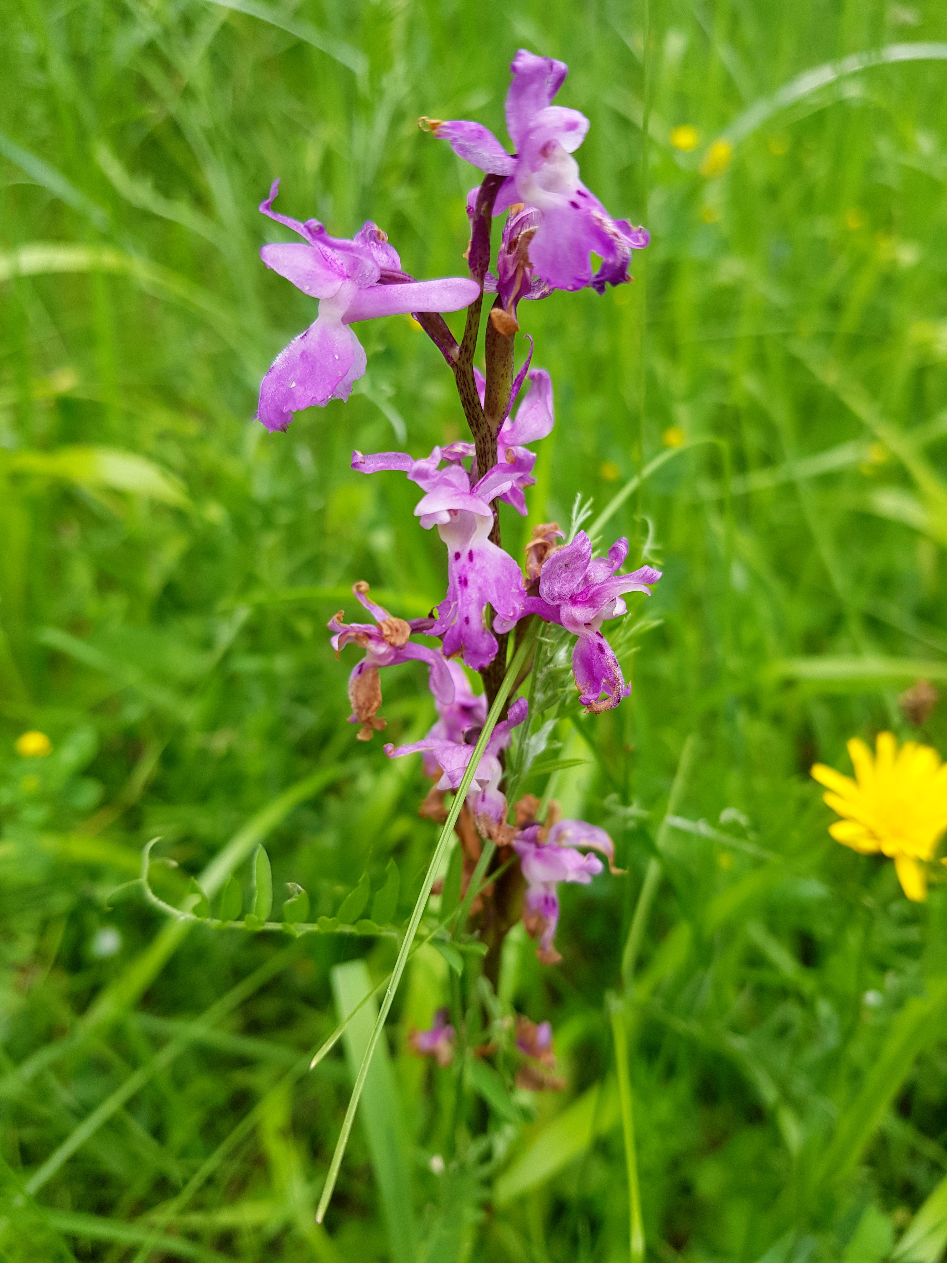
After the good dose of sleep I climbed Strážov (1213) – the first peak above 1000 m altitude on my journey. As it was Sunday 16th June I was meeting lot of one-day hikers. On the way down to Čičmany I met orchids and another guy who was walking from Dukla. This one was so happy meeting me and chatting for few minutes. You feel kind of brotherhood among long-distance hikers and I find it interesting that we can discern each other from other tourists at first sight.
I entered a restaurant in Čičmany to have a lunch but the waitress made me feeling my appearance is not the one she expects from her guests. So I paid soon and went beyond the village to find the electricity plug. It was there, so I plugged-in, went through e-mails, blogged and tried to figure out sharing my position online with my family and friends. And out of sudden it was 5 pm. Oh dear, 5 pm and I walked only 11 km that day. I hiked fast over the mountains to Fačkovské sedlo (808) that is dividing Strážovské vrchy and Malá Fatra ranges. I experienced first shower of the journey there and continued till night but felt really exhausted. I also used jingles while walking alone at dusk since I entered the bear area of the Carpathians.
2 Replies to “The hot first week”
Comments are closed.