Though my original idea was to start on 1st, 3rd and later 4th of June, I am actually setting out Monday 10th June 2019 but with clear mind I finished almost all my commitments. I also needed to manufacture some parts of my gear, which took couple of days and support of my wife and mom.
Sewing the groundsheet
The backpack was 13,24 kilos together with food for 6 days packed but without water at the start. Within the first week I got rid of items weighting about 400 grams and some more later.
Anyway, despite what outdoor shops claim, hiking is not about gear. It is about mindset. Let’s go!
At first I wanted to start from Romania but my friend, a mountaineer from Cluj, warned me there was too much snow in winter and there were some unfortunate deaths in Făgăraş. I need not think for long about the starting point on the other end of the Carpathian arc. Svatý kopeček (363 m alt.) near Mikulov was my obvious choice. The hill oversees the picturesque town and provides beautiful views over the border to Austria to see the westernmost soft hills of the Carpathians. I have been there many times but one moment stays particularly in my mind. 35 years ago I visited the place with my father and brother. We were watching Austrian farmers doing peacefully their fieldwork while on the Czechoslovak side there were multiple fences, watchtowers and border patrols were driving their vehicles there and back. I clearly felt in my child soul, that there is something wrong with our country, not with theirs.
So on 10th June 2019 I climbed up the Way of the Cross that leads up on the hill again. My mood was not uplifting as I had been expecting. Quite the contrary: I felt physical fear. The fear that gives you sick feeling. I could not imagine I am able to make the journey. I was thinking about my family and all the other good things I could do. Shall I ever see them again? I felt Christ’s suffering is symbolizing mine in the nearest future. The hill was empty when I came but before I ate my breakfast it became busy place of parents on their walk, runners and a schooltrip came too. I felt quite shy to make the introductory video especially when I could not mount the camera properly on my trekking pole.
Pálava north from Mikulov is a few kilometres long limestone cliff with huge significance both from natural and cultural viewpoints. Different groups of refugees settled the villages below (Bulgarians, Croatians, Jews, Swiss Hugenots), Romans chose the site for their military camp and paleolithic hunters made it world famous. They were watching for game migrating north-south through the corridor between the Carpathians and the highlands to the west. 25 thousand years ago they were able to make fine art, turn clay into pottery and some archeologists believe even make nets and textiles. The highest point of the cliff is about 550 m above the sea level.
Pálava – a landmark and the westernmost Carpathian range
I soon realized that the way I had exported maps to smartphone was not particularly useful but while downloading new ones in a restaurant in Pavlov I was again attacked by fear. Big non-structured fear from what is ahead. I could not look at the maps, I felt overwhelmed by the distance.
The rest of the day it was just walking on paved roads which made my legs aching. I found a place among vineyards of the Blue mountains for overnight.
Though I thought I fell asleep immediately this did not happen due to mosquitoes trying to get some advantage of me. I might not be right but it seemed to me that they avoided my sailor shirt.
Blue mountains
I started to walk at 5 in the morning on Tuesday 11th June to avoid the hottest part of the day. Blue mountains are soft hills covered by vineyards and fields of other crops at altitudes about 250 metres. This is agricultural land with large and rich villages. Where possible, I used the fact it was already cherry time in this warm region.
Modré hory (Blue mountains)
I knew there is a lunch waiting for me in Dubňany where my father lives with his girlfriend. 5 km from there at about noon I laid down under an oak tree near a railway and could not move further. The backpack felt heavy, it was hot, my shoulders and legs were aching. It took lot of strength to start walking again. How can I make 2000 km when I am not able to get to the nearest village?
I clearly knew I had made a mistake. My food sack was 4 kilos while there were villages and restaurants all around me. When I finally made it to Dubňany I packed half of the food and sent it to Slovakia so it could wait for me there. I also got rid of other stuff reducing the baseweight of about 400 grams.
A mile with my father
After a lunch and a short nap I regained strength and started walking in the evening. My father was helping me with the backpack for a mile, then we hugged and wished good luck. Till the dark I made it near Rohatec, which is on the bank of Morava river (170 m) – the second lowest point of my journey. The night turned into mosquito inferno. I ended up sweating in my sleeping bag, my small mosquito net over the bag’s entry hole and my woodstove fan pumping some air into it. My sleep deficit rose to 15 hours over 3 days.
Not allowed to see my work
Wednesday 12th June morning I realized I locked my phone the way I could not unlock it. I was not able to find solution as I was not online, I could not call, but I could receive calls and if you believe in telepathy or not, my wife called me. To avoid factory reset I needed connect wired keyboard to the smartphone, which meant loosing 1,5 hours returning back to Sudoměřice village and asking for a USB keyboard. Fortunately I got adapters with me. The officers in the village house were quite surprised but I was happy that it worked.
I could not visit place I had cared for.
Another shock came few hours later. The Radějov game reserve I wanted to go through was closed for June and I needed to make a significant detour. To understand why I was really angry, we need to go back 30 years. At that time I was spending weekends and weeks of holidays coming to this place trying to safe orchids and flower rich meadows. We were mowing them with scythes as locals were not interested and removed thorny bushes that started to grow there taking the habitat over. And then in later 1990s came this man – Leoš Novotný, who made money by selling a company my grandfather helped to establish in 1937, and made it a private game reserve. I was looking forward to see familiar places again and instead of that I lost half a day detouring. Someone privatized tens of thousands hours of volunteers’ work not even mentioning this on the info panel where he claims how great it is for the nature he is keeping his game there.
Pyramid orchid, Čartoryje
Lučina is a nice natural swimming pool located half an hour walk from an iconic Čertoryje national nature reserve. For me it had been a place of surprise meetings several times before and this time I met David. David was member of a youth club I led, that was focused on environment and natural history. He is now over 30 and was proud to introduce me his girlfriend.
After having a cooling swim I walked through the gems among the flower-rich White Carpathian meadows. It was soft evening light, the warm wind was blowing from the Morava lowland and I was the only person I could see around in the sea of flowers and grass in Čartoryje. Sheer beauty of White Carpathians returned peace to my mind.
Čartoryje, White Carpathians
Unfortunately, bivouacking near centuries old border stone of Hungarian empire was again accompanied with squealing of mosquitoes.
Old and new border stones between the Czech Republic and Slovakia (former Upper Hungary)
On the long-distance hiking trail
Velká Javořina (970), the highest peak of the White Carpathians Memorial of Czech ecologist Josef Vavroušek (R), monument of Czech & Slovak brotherhood and a telecommunication tower
I tried to catch up what I missed the day before on Thursday13th June. I hiked fast through the White Carpathians brushing memories of many previous hikes. Before noon I came toE8 route, popular Slovakian long-distance hike – Trail of the Slovakian Uprising Heroes. Along with Polish Główny Szlak Beskidzki these two are the only long-distance hiking trails in real use throughout the whole Carpathians. On the highest hill of the White Carpathians – Velká Javořina (975 m) I paid tribute to Czech ecologist Josef Vavroušek, who died along with his daughter under avalanche in the High Tatras.
There I met first two Slovakian long-distance hikers. They had been walking the E8 route from Dukla and started 20 days ago from the pass. This frightened me again. If it took me 20 days to Dukla, then I could hardly walk anything in Romania. I felt embarrassed when asked about my hike. These guys had been on the trail for 3 weeks, me just for 4 days, yet I dare to aim for the whole Carpathian arc. So I played my dream down by saying “But I can finish tomorrow, one never knows.” the phrase I would be later using many times throughout my journey.
Landscape below Velká Javořina: Strání village to the right, Lopeník (911) centre left
I tried to get a windy spot on a meadow near Lopeník but mosquitos found me again increasing my sleep deficit.
Good-bye CZ
Friday 14th June started with beautiful walk through Moravské Kopanice – bucolic landscape of scattered settlements surrounded by small fields and meadows.
Moravské Kopanice landscape near Vyškovec (we almost ended up living here 20 years ago)
A dog willing to join me appeared at the Lopeník pass (753) but I refused its company wondering how my friend Lina Hallebratt is feeding her dogs during her journeys. Near Vyškovec I left the Czech Republic. Though the video does not show that, I felt a bit emotional.
Váh river in Trenčín
I washed my garment and bathed in Drietoma (325) river on the Slovakian side. In Trenčín I crossed the Váh river (204) that cuts Carpathians in the western and central Slovakia to two parts. I decided to walk south from the river. In this town, where my grandfather served during his military service in 1920s, I refueled and started hike to Strážovské vrchy.
Sauna-like protection against mosquitos
The spot for the night first seemed to be mosquito free but it again turned into another attack of the small torturers. I finally found out the way how to resist them: hanging my small mosquito net on a twig so it covers head entry hole of the bag and pouring cold air into the sleeping bag near my legs. This kept sleeping bag ventilated and mosquitoes could not get in. However, this consumed electricity. Another shock came when I realized that an app drained my battery overnight. I need to rethink my energy management. So from this day onward I only tracked with smartwatch and turned on the phone just for photos and orientation in the map.
Climate change in a remote village
Strážovské vrchy is beautiful mountain range. It is lot of up and down walk but the flower rich meadows with white rocks on horizon are sheer beauty. It was Saturday 15th June so the experience got spoiled by off-road motorcyclists. Though it is probably not allowed (as in the Czech Republic), it can be considered a national sport for young Slovakians. I could constantly hear different bands racing through forests and meadows.
After passing below Vápeč (956) and recording the video above I stopped at about 5 pm at a water source to cook a dinner. A hiker appeared next to me, this one even on a longer hike from the Ukrainian border to Záhorie = further than most E8 hikers walk. It took him 20 days from the border. He gave me a tip on an electrical socket on the trail near Čičmany.
Strážovské vrchy near Škrípov
In Zliechov I dropped in to the local pub and chatted with couple of drunk locals while my smartphone and batteries were getting some juice. “There are no mosquitoes up here in the mountains, but things are changing. For example the ticks are starting to be a problem.” they told me. I ended the day on a familiar camping place under Strážov hill. As the weather forecast showed rain for tomorrow, I warmed up some water and tested my idea for hot shower using a pierced dry-bag. It worked perfectly so I also used the hot water for laundry and turned my mess kit into a washing machine.
At Strážovské vrchy
The locals were right, as it is warming up the mosquitos are coming even here. Fortunatelly only handful of them so I could finally sleep for the full night. I can say I felt refreshed in the morning and confident that if something would not turn wrong, I could make it.
Above 1000 metres
Orchis mascula below Strážov
After the good dose of sleep I climbed Strážov (1213) – the first peak above 1000 m altitude on my journey. As it was Sunday 16th June I was meeting lot of one-day hikers. On the way down to Čičmany I met orchids and another guy who was walking from Dukla. This one was so happy meeting me and chatting for few minutes. You feel kind of brotherhood among long-distance hikers and I find it interesting that we can discern each other from other tourists at first sight.
Attempt to copy the local folk patterns in Čičmany
I entered a restaurant in Čičmany to have a lunch but the waitress made me feeling my appearance is not the one she expects from her guests. So I paid soon and went beyond the village to find the electricity plug. It was there, so I plugged-in, went through e-mails, blogged and tried to figure out sharing my position online with my family and friends. And out of sudden it was 5 pm. Oh dear, 5 pm and I walked only 11 km that day. I hiked fast over the mountains to Fačkovské sedlo (808) that is dividing Strážovské vrchy and Malá Fatra ranges. I experienced first shower of the journey there and continued till night but felt really exhausted. I also used jingles while walking alone at dusk since I entered the bear area of the Carpathians.
Right-centre: distinctive peak of Klak (1352) in southern Malá Fatra rangeOvernight in the southern tip of Malá Fatra
On Monday 17th June I found the sole on my boot started unsealing. Looking into map I realized I could not make it to Turčianské Teplice if I followed the E8 route. There should be a package waiting for me I had sent from Dubňany. So I decided to go straight through the Turčiany valley. I followed the GPS through the fields, roads and I even crossed the Turiec river as I tried to avoid the asphalt roads. All this effort only to get to the post office before 6 pm closing time. A bit exhausted I picked up the parcel at 5:25, repacked and send back home about 300g of stuff I realized I do not need.
Turčiany basin, Veľká Fatra on horizon
After an exhausting day I was looking forward to a reward in the form of pizza. As usually, my order started by sitting close to a socket, plugging in the charger and surrounding it by: a smartphone, a smartwatch, batteries, a headlamp and a keyboard.
In order to charge as fast as possible I used a charger with 3 USB sockets: one with QC 3.0 for quick charging my phone, another 12W one for charging four 18650 batteries (optionally with a splitter to 3 microUSB cables) and another 12W socket for other batteries or devices. The batteries plus a lightweight adapter are lighter than a powerbank and enable me to charge/discharge them individually, thus having better control over the juice reserves. I made several capacity tests before picking up 2 noname batteries along with 2 Nitecore ones. My feeling was that the noname batteries charged faster (due to lack of protection) so I used them more often keeping Nitecore as power reserve. Thus I could drain almost 40 W from the grid and get maximum within 1-2 hours my stops lasted. Goal Zero Nomad 7 photovoltaic panels were comfortably keeping everything charged while in the high mountains in sunny weather. In this case it is much better to charge phone directly as the transfer through a battery spoils about 40% of power. However, while walking through forests or during rain, the solar panels performed poorly. Fast-charging 45 Wh power bank might be equally good solution.
After charging my electronics and checking e-mails I set up for the last few kilometers to find a place to camp. I was so full with pizza and reckless, I forgot to put jingles on my poles.
It was getting dark in the forest when I could see a movement behind a curve. 70 metres from me was the king of the Carpathian forests – a bear. He/she was digging something from the slope near the path and did not pay attention to me. I silently left the scene, then turned back and searched for some camping place closer to the town. A meadow near a small pond seemed like a good spot considering constant noise from a nearby road and being able to see houses of Turčianské Teplice only 1 km away.
Overnight close to a busy road and Turčianské Teplice town
These “qualities” guarantee no bear comes here, I thought. Once I laid into the sleeping bag, I could here “barrraummm, barrraumm” from a forest near the meadow. The distance was not more than 200 metres. Oh dear, the bear is here, went through my head. And at that very moment another loud “barrraumm, barrraum” could be heard from a road 50 meters from my shelter. Seemed like two bears were negotiating a territory, because the voice of the second bear sounded really aggressive. I took pepper spray into my hand and wrapped up into the sleeping bag. Fortunately the argument was over soon and the closer bear left towards the town. I fell asleep.
Bear came twice 60 m away from my tarp
30 minutes after the midnight the closer bear was back. It’s “barraumm, barraumm” was left without answer and I was even more afraid as I was so close to the bear. Again I took pepper spray and wrapped up into sleeping bag thinking about the best moment to use the spray – when the bear starts sniffing my tarp or when it starts touching me?
I could hear its steps in the grass and the sound of cracking twigs as the bear was approaching closer through bushes. Fortunately, he/she continued towards the forest where the first bear sound came from ignoring a frightened human occupying 2,5 square meters of the territory.
To the heights
I started the Tuesday 18th June with a swim in a nearby pond and examining the place where I met the bear. He/she was digging for ant eggs.
Pass near the King’s well
Veľká Fatrais a horshoe shaped mountain range opened to the north. The alpine meadows form only small part of the range while most of the area is covered by deep forests on the slopes and hundreds of streams form fast running rivers. I left E8 for couple of hours to enjoy walking one of those valleys meeting it again near Kráľova studňa – King’s well (1340) – a strong spring in the mountain pass that gave name to a hotel.
The alpine meadows of Veľká Fatra in June seemed like a paradise. Covered by carpets of flowers including orchids. The perception was intensified by rainbow following a rainshower. I quickly realized I made a mistake regarding my shoe management: while I put poncho on me and rainproof overpants, I left the leather shoes on. This lead into soaked boots and socks.
Veľká Fatra panorama – view to the north
Good bye blue sky
On the way to Donovaly
The connecting range between Veľká Fatra andNízké Tatry is forested and a bit up and down walk. I met another two long-distance hikers coming from Dukla on Wednesday 19th June. Though each meeting takes few minutes, it is always very warm and respectful.
Apart from dozens of hotels, there is a small shop in Donovaly (about 1000m altitude), where a hiker like me can refill. It is a mountain resort village in a pass on the western tip of Nízké Tatry (Low Tatras). Looks of the hotel guests towards me gave me evidence that with each mile passed my appearance is moving away from theirs.
Donovaly mountain resort, Low Tatras on horizon
I reached shelter under Kečka (1225) mountain (útulňa pod Kečkou) together with the first drops of a thunderstorm. I felt really lucky watching the heavy rain and even hails from behind a window of the cozy shelter. I used the time to insulate my shoes with some cream I found there, because I forgot to add shoe wax to my backpack and the one in the parcel for Romania was far away.
Shelter below the Kečka peak
After an hour or so I could see a group of tourists climbing down the opposite hill. It appeared these were 16 years olds making their Duke of Edinburgh award. They rushed into the shelter, wet all over. The first thing they asked for was GSM signal to inform their parents they survived the thunderstorm and tell their leaders they are giving up this expedition. Along with the shelter guardians we made fire in the woodstove, offered them hot tea but they were not able to make effective use of this care. They left the wet garment on the floor, put on the last dry stuff (unless even this was wet), put on sleeping bags and started eating some cold food talking only about the end of their expedition. 40 minutes later their teachers came persuading them to continue but the teenagers could not imagine any other scenario than going to the nearest bus or train stop and back home. If only they wrung their garments and used the hot stove to dry their clothing and cook warm meal, they could be ready for next adventures within few hours.
Once the thunderstorm moved further, I left the youngsters alonw with their troubles and crossed a hill to Hiadeľské sedlo (1100) with a nice open shelter to join about 8 other hikers there for the night. To the west I could watch beautiful sunset over the Veľká Fatra.
Sunset over Veľká Fatra
Running away from a thunderstorm
I started early on Thursday 20thJune in order to avoid thunderstorms that were expected to come in the afternoon. Most of the day I walked in the clouds so I cannot say much about appearance of this part of the Low Tatras.
One of the moments when the clouds allowed views over the range – Poľana (1889)
Homemade fleece overcoat
I tested my homemade fleece overcoat for the first time. It is a lightweight rectangular piece of fleece that I can put over my shoulders where there is high temperature loss while hiking. Another use of this is kidney belt when zipping it on the shorter side. I also often used it as a pad.
A thunderstorm came at about 1:30 pm. Along with two Ukrainian geologists we rushed towards Chopok (2025) – restaurant and a cable car station. After an hour of running in altitudes about 2000 metres, I reached the restaurant and watched the further weather development through large glass windows eating my favourite meal – fried cauliflower.
View of Low Tatras from Chopok to the west
The rain cleaned the air and the evening walk below the highest peak of Ďumbier (2046) towards Štefánik chalet (chata M. R. Štefánika) was full of beautiful vistas towards Vysoké Tatry (High Tatras) – the highest range of the whole Carpathian arc. Due to the strict conservation rules and necessity of being accompanied by a paid mountain guide on some trails I am missing this range on my journey.
Views towards High Tatras – the highest mountain range of the Carpathians
Chalet of M. R. Štefánik (1725)
The chalet was full of tourist chatting over a glass of beer, some combined this with spirits. For me this was like a miracle as I could have a shower, wash my garments and dry the boots. Good deal for 21€ including breakfast.
Chasing Ještěr through wet bush
Refreshed I started walking before 8 am on Friday 21st June. The weather was excellent with beautiful views over the western part of Low Tatras.
Views towards Štefánik chalet and Ďumbier (2046)
Walking half-day in wet bushes on a muddy path
This changed at about 10 am with the first thunderstorm of the day. The trail from Čertovica (Devil’s pass, 1232) leads through clearcuts, that means narrow footpath through high grass, bushes and young trees. I was soon soaked all over and my poncho (precious SMD Gatewood Cape) a bit torn. Despite the fact I tried to catch my friend Ještěr, I stopped at Ramža shelter to have a lunch, dry garments and wait till another thunderstorm passes.
Carpathian blue slug
Thus I set up at 2:45 pm from the point where my friend stayed overnight just after another thunderstorm passed.
Rainy weather is great to watch endemic Carpathian blue slug (Bielzia coerulans).
After another half-day of speed hiking in not less challenging conditions I could finally see smoke and meet him for a night at Priehyba mountain pass (1185). As he had started large fire, I could use my lightweight grate made of four pegs connected by two titanium tubes. This was the first and the last time I used this gadget of mine during the hike. Two other hikers joined us later at night.
Ještěr was waiting me in the Priehyba mountain pass. He brought proper mosquito net, which added 60 grams to my backpack but significantly improved my sleep.
A ranger changed my plans
Half day with Ještěr
After a steep ascent from the pass, the character of the mountains changed on Saturday 22nd June. There were more alpine meadows with isolated trees and probably nice views we could have enjoyed if there was no fog as we walked in clouds. At about noon a huge thunderstorm started approaching the range so we took shelter in Andrejcová (1420). When we came only 5 Poles were mixing different types of alcohol and an older Czech couple making their lunch, but as the thunderstorm approached the shelter started to fill with wet and grateful hikers.
Andrejcová (1420) Shelter
Interior of the Andrejcová shelter
I must admit I have got a trouble with shelters. Trying to use the opportunity I put my socks to dry somewhere, charge my electronics etc. Then a shelter fills up with people and it is difficult to collect all my belongings again. It was the same here. Once the rain faded, I set up for the hike leaving Ještěr at the shelter as he did not want to get soaked again. All the way up the first hill I felt there was something wrong with my shoes – have I put on both pairs of socks? No, I left insoles in the shelter. So I left my backpack under a tree and needed to return for them.
View from the Bartková (1790) peak
Stredná hoľa (1876) in a moment without clouds
This Eastern part of the Low Tatras is definitely a beautiful one with less rocks but high alpine meadows offering beautiful views namely over High Tatras. Unfortunately I could not enjoy this as most of the time I was walking in the clouds. When approaching Kráľova hoľa (King’s peak) – the highest point of this part of the range, the fog was so dense I could barely see 10 meters in front of me and the wind was so strong I could barely keep walking.
Ranger and his helpers
A ranger approached me at the peak and ordered me to descent to the south. After a short argument where he stereotyped “you Czechs are crazy, you do not understand mountains, have no equipment and we always need to rescue you,” which I did not considered fair towards me, I was forced to descend to directly the opposite side of the range. The ranger was afraid I could get lost in the fog and call for rescue or die.
I was not happy at all because I was forced to lose 500 altitude meters I would need to climb back the next day and the bivouac site he sent me to (and later checked if I am there) lacked a water source.
Wet man in a dry village
The weather was the same on Sunday 23rd June in the morning so I quickly packed and rushed into the fog to avoid next meeting with a ranger who could send me back again. There were no dangers described to me by the ranger on the trail but the weather was not fine. All the vegetation was soaked by water and so was I. Rainshowers started later in the day. While on hike it is always difficult to assess the right time to replace the windproof jacket with a waterproof poncho. At one point I underestimated the rain and got totally wet.
Showers over the karst plateau of Slovenský raj
Walking in the stream
As I approached another national park – Slovenský raj (Slovakian Paradise), the marked trail led through a stream so I put on my crocs and walked through the water. Another heavy shower approached and I was walking in my poncho, wet all over with a vision of drying up soon as my aim was Vydrník – village approximately 10 km away where my friend lives and a support package is waiting for me.
A car stopped next to me. “Get in!” the driver ordered. “No, it is OK, I shall walk.” I replied bearing in mind I am walking across Carpathians. “Where are you going?” “Vydrník.” “OK, that is village right next to ours, get on board.” I was hesitating only for a few seconds. I had been invited for a lunch there and it was 3 pm at the moment as I got delayed by the ranger yesterday. When I was getting off the car in Vydrník, two puddles of water were left in a car – one where I was sitting and another one in the boot, where my backpack enjoyed the ride.
It was dry in Vydrník, just 11 km away, so I looked like a phantom when ringing the bell of my friend’s house soaked all over and leaving wet tracks. The family immediately took over my troubles, fed me and washed my dirty clothes. Staying overnight in the local scout clubroom enabled me to go through the support package and dry out the rest of my equipment.
On Monday 24th June I took the first day-off. It was much busier than I expected. First I needed to get all the stuff I looked for in Poprad – a town with magnificient views over High Tatra mountains. Alcohol for my stove and shoe-wax in particular. I got both, though not in the quality I would like to have.
Scout meeting room in Vydrník – my home for the rest day
Then I returned back to the clubroom of scouts in Vydrník and repaired my shoes and a poncho, blogged, repacked and soon came the evening without actually having an hour to relax. Many people think hiking is just about walking, but it is not. You need to think about multiple things – keeping your gear in a good shape, washing clothes, planning the route, healing your wounds, cooking etc. It all takes time and skills.
Military excercise area
On Tuesday 25th June I started much later than I expected, the sun was already high up at 10:30. It took time to leave the scout clubroom in Vydrník in better shape than it was when I came on Sunday evening.
Towards Levočské vrchy
Walking towards Levočské vrchytook about 3 hours through hilly lowland in the continental divide between Hornád and Poprad rives. Levočské vrchy used to be military exercise area from 1952 till 2011, network of roads and ruins of tourist huts remains as legacy of this period. The highland is a paradise for bikers. At some areas the range looks like plateaus so though being at altitudes about 900 metres, you need not to pedal too much to reach the peaks. I soon learned the water is not so abundant in this range as in the previous ones.
Levočské vrchy – plateau with lot of clearcuts and newly planted forests
Deforested highlands
Overnight near one of many shelters the forest company built for h/bikers
I continued through the range the whole Wednesday 26th June leaving marked trails at about noon and turning to the east on forest roads. It was obvious from the tracks and scat the wildlife is abundant here, although the range has been heavily deforested in previous years. I mean I have never seen such deforested area before. The advantage is the small trees planted few years ago give a hiker beautiful views over High Tatras on the western edge of the range.
Young forest growth enables views over High Tatras
I left the range following the continental divide through a picturesque valley. I stayed overnight near village Vislanka. Taking advantage of camping near the river I enjoyed a bath.
Continental divide between villages Bajerovce and Krásná Lúka
Barbecue with local farmers
Minčol peak – part of the E3 trail
Thursday 27th Junestarted early by walking on asphalt roads towards Šarišské Jastrabie, where I stopped for breakfast admiring the local dialect that sounded to me like mix of Slovakian and Polish. I continued to Minčol (1157), the highest point of the Čergov mountain range. I reached it around noon in crocs for I did not want my boots to become wet as a thunderstorm passed and another one was approaching. From this peak I turned to the north following E3 trail that leads towards the Polish border. At about 3 pm I met a Hungarian ultralight hiker (Balázs), who was walking from the Ukrainian border. He was nervous about water and explained me why – water is scarce on this trail. So I asked for water in Obručné village near the border with Poland and a local gave me also an extra lemon to savor my drink. Small favor counts, when you are a pilgrim.
Ľubovnianska vrchovina (SK), Góry Leluchowskie (PL)
I ended up at Kráľova studňa shelteron a beautiful meadow with nice vistas over the Polish village of Wojkowa. I just cooked my dinner when two men arrived, unlocked the rest of the shelter and hastily prepared a barbecue. Soon came other cars and two tractors. Children appeared from somewhere. These were people from a local NGO who built the shelter and a nearby watchtower, rejuvenated a water spring that gave the place its name etc. We got nice chat and for me it was great seeing those farmers meeting and planning some sport event for Saturday. Another example, how a small group of people can do great things and make a village (Lenartov in this case) buzzing with social life.
Kráľova studňa meadow with a shelter
Borderline roller-coaster
Forest road along the border
Friday 28th Junewas the first full day I followed the Polish – Slovak border – a routine for the next week. The path is better than further to the east as it seems being regularly used by vehicles. Some hills are painfully high in this part. I did not meet a person for the whole day.
In the afternoon I started noticing trenches – sign of heavy fighting during WW I and maybe reused during WW II.
Busov highlands south from the border
I found the book about WW II fighting in the Carpathians
When I was taking a picture with a book of a soviet general Andrej Antonovič Grečko “Cez Karpaty” (Across the Carpathians) that morning, I could not know that wars would stay with me for the next week. I stayed overnight in the shelter at Blechnarka = PL Wysowska (645) mountain pass.
Walk along trenches
Military cemetery near Dujawa p.
On Saturday 29th June I followed the tourist trail that copies the SK-PL border and is lined with WW I trenches. Soon I came to a military cemetery. It was moving reading the names of Czechs, Austrians, Croatians and Hungarians giving me the idea how multinational Austrian monarchy was. The trench-war took years in this area as fortune changed and Austrians needed to defend their very territory from Russians after their initial advancements in the beginning of the war.
Trail lined by trenches
Oval shape cup is a must for scooping water from shallow streamlets
With high hopes I came to Dujawa mountain pass (560) as my map showed two shops in the structures of former customs. I dreamed about buying some food and recharging my electronics but nothing of it materialized. Two shops were in the stage of destruction and huge Polish border police compound was abandoned. The lunch stop took 3 hours as I first needed to filter some water from a poor stream and later started to go through my e-mails while on solar power. It might have been wiser to walk or hitch-hike and get to a shop or a restaurant in Poland.
Landscape east from Dujawa pass
I wish I could have learned more about the fighting in this area. Unfortunately the interpretive panels were either not in a good shape or of poor interpretive quality. I also met one of many stickers left by Dominik Ksieski on his 2017 Carpathian thru-hike. I ended the day near a stream in marvellous Kuchtov pass near Polish village Oženna.
Land soaked with blood
Staying near a stream is great. With my wood powered stove I have got unlimited source of hot water so I “showered” and washed my garments on Sunday 30th Juneearly morning. I knew I must hurry to meet my son Radovan the other day so it was great disappointment when I realized my smartphone is locked again and I need to find a USB external keyboard to unlock it. The decision was made to continue without a phone and attempt to unlock it in the Dukla pass.
Sunday morning in the Kuchtov pass
This particular toad has not got typical coloring, probably due to the bite
Along the way I could watch grass snake (Natrix natrix) hunting a yellow-bellied toad (Bombina variegata). I scared the snake while taking photos of the scene but my attempt to save the toad was probably useless. Though it made its belly-up posture of defense, it seemed unable to move probably due to paralysis after the snake bite. The yellow-bellied toad is a typical Carpathian specie living in muddy forest puddles thus becoming companions of the hikers. They indicate puddles with stagnant water that is not fit for drinking unless after treatment in emergency situations.
WW II battle memorial in the Dukla pass
The trail was much less hilly in this part. That was reason for heavy fighting in this area. WW I trenches were overlayed by WW II trenches and positions for tanks and artillery. Traces of shelling were visible along the trail. I reached the Dukla pass at about 3:30 pm and was eager to unlock the phone in the museum that I expected is part of the WW II memorial (this was the place where liberation of Czechoslovakia started in 1944 after heavy fighting of the Red Army along with Czechoslovakian exile corps. To my surprise there was no museum at the memorial so I ended feeding me up in a shop on the Slovakian side of the border. Two hikers (starting slowly E8 trail) provided me with a piece of bread and told me that the museum is not part of the memorial but is located in a watchtower on the hill. I rushed there to come 10 minutes after the closing time (4:30 pm). If there was only a sign or anything in the pass or near the main road but every signage pointed only to a watchtower.
1920s Czechoslovakia border pylon
I returned to the pass and unlocked the phone in a shop selling vignettas for highways. To feed my tummy even more and charge everything, I went for a dinner to a restaurant on the Polish side of the border. To sum up: unlike in other passes, Dukla pass is a good place to refill. It was almost 8 pm when I hiked (singing loudly to scare bears) into a valley near the meeting point with my son, Radovan. I decided to get off from the main range in order to have source of water.
The valley was magic, beautiful night-sky with zero light pollution, strong warm winds through the valley and me feeling puzzled about the fact that there is human-carved landscape in this remote valley without any settlement.
Cross near where the former church in the abandoned village used to stay
I was looking forward to Monday 1st Julyvery much. My son Radovan (16) was about to join me on the trip. As I was staying overnight just next to the Čertižské pass (575) – our meeting point, I could enjoy nice views from the sleeping bag and explore the magic valley further. It appeared to be a former village Czeremcha resettled during WWI fighting and never settled back with descendants of its inhabitants now spread around the world.
Tourist signs at place showed some sense of humor pointing to Nordkapp or the highest mountain of Ukraine. The whole place was magic as human touches were still clearly visible in the landscape but the settlers missing.
Radovan took with him fresh supplies and despite of the fact we started at about noon, we walked over 30 kilometers through the endless beech forests and similarly endless trenches from the past wars. There were many military cemeteries and war memorials on the way. The panels only claimed numbers of soldiers buried at a place. Sometimes passers-by put remnants of shrapnels and other reminders of fighting on border stones.
One of many military cemeteries along the way
Carpathian beech forests
The water sources are scarce in this part of the Carpathians so we needed to drink a lot at water sources and took with us some extra supplies. Even the spring of Laborec river was dry.
As we were two, we stayed overnight under a tarp made of two US army ponchos snapped together – my typical tarp before buying SMD Gatewood Cape. Setting a tarp was wise decision as a rainshower came overnight.
Supply package looted
Luków pass, the Polish text reads: “Lord, help hikers in the Carpathians.”
Being warned about lack of water, we were cautious while hiking on Tuesday 2nd July, though it appeared that at the end of June with rainy May, the sources are still in the flysch bedrock. The trail switched to footpaths overgrown by vegetation at some parts near Laborec pass (604) and Luków pass (640). We also met some multi-day hikers. Mostly Czechs for whom this part of Eastern Carpathians symbolize wilderness.
The trail led through unmowed meadows and mostly beech forests. Again we could see trenches and other reminders of the hell soldiers experienced here in the WW I.
Radovan made his best to reach Osadné village, where my 2nd support package was sent. Thus after walking 42 km we could enjoy overnight in an open garden house of the only local “hotel.”
There seemed to be some misunderstanding regarding the supply package so we found it opened and some supplies missing. According to one local the package arrived to a local pub and people started to take things as if it was a humanitarian aid parcel. Anyway, we were OK as our backpacks were heavy enough thanks to Radovan’s arrival with food supplies.
Unexpected rest day and losts
With Juraj and the package
I used the opportunity to wash my cloths and it also took me while to go through the package, write the blog etc. To make it short, we started hiking as late as 3 pm on Wednesday 3rd July. On the way back to the main ridge I also dropped in to see Juraj Lukáč – a legendary Slovakian conservationist. If you are lucky, you can see European bison in the woods in this corner of Eastern Carpathians but we were not lucky on that day.
Though I got my garments charged in Osadné, I tried to keep my phone close to 100% so I used every opportunity to grab some solar power and unfortunately lost my charging cable somewhere on the way. Later a man claimed he found it based on my plea in a shelter guestbook, but it appeared to be some other cable along with a charger.
Finally some views on forested landscape of Eastern Carpathians opened
As we entered Poloniny National Park, the overnights were allowed only on designated places. We stayed in Ruské sedlo shelter with a nice Czech couple and their dog Tekumseh (my favourite native-American hero). I also lost my handmade titanium pole somewhere near the shelter.
Unsuccessful attempt
Though my original route was not going through the point, where borders of Poland, Slovakia and Ukraine meet, we decided to go there on Thursday 4th Julyso that Radovan could reach it (I was there in 1991). The range opens up a bit in this part so it leads through some former pastures that are now high-grass meadows providing finally some views around.
The place in the picture to the left brought back to me memories from 1991 hike when we were unsuccessfully searching for water here and went to sleeping bags thirsty. I then woke up in the middle of the night screaming because in my dream a bear was approaching our tarp. Night rain solved the water problem then. 🙂
About 5km from the point where 3 borders meet we stopped near a shelter, where a Slovakian group invited us to their barbecue. It was necessary to plan next days carefully because Radovan needed to leave back home by Sunday. So we decided to miss the point since there was no opportunity for staying overnight in its vicinity and descended to the valley near Nová Sedlica.
Shelter near Nová Sedlica
There were some horsemen and horsewomen at a shelter for tourists, which seemed like a nice company for the night but then group of locals came with spirits so we rather found a place on a meadow away from the company.
Rainy welcome to Ukraine
Copies of the meteorite are on display in several villages
Friday 5th July promised us lot of walking on tarmac – a hiker needs to leave the main ridge in order to reach the nearest crossing point to Ukraine (Ubľa – Velikij Bereznyj). To my surprise, villages of Nová Sedlica and Zboj were full of tourist amenities financed from EU funds like a visitor centre. A meteorite that fell from the above in June 1866 is considered one of the main local tourist attractions as it for some time was the largest known stone meteorite in the world.
Thunderstorm could be heard while I used the pond for a short swim
To manage Radovan’s departure from Uzhgorod, we took bus to skip one village and 10 km of walk on tarmac. It appeared to be right decision, because during our lunch break near a forest pond 2,5 km from the border crossing the sky turned dark and sounds of thunder could be heard from NW.
The locals filmed the rain
We could see at least a hundred of cars left alone near the road to the customs, some of them already looted. I think these are the cars Slovakian customs did not allowed to leave the EU. Few hundred meters before we reached the customs it started raining. It took time to go through the customs but the thunderstorm was not over. We walked a kilometer to Ukraine and along with other pedestrians took shelter in a small commercial zone set up to provide Slovakians with goods for cheap Ukrainian prices. The rain turned into torrential so we were lucky to watch it from under a roof.
When the thunderstorm left, we decided to walk longer on paved road rather then following the trail through forest. Radovan could barely walk feeling pain from the soles of his feet so we searched for accommodation. We could soon feel the difference between the Czech and Ukrainian economies, when we paid just 23€ for a hotel room and large dinner for two.
Display about Carpathian nature in Velikij Bereznyj
A day-off in Uzhgorod
I felt we have got plenty of time since Radovan’s bus tickets back home were for 2:40 pm and Uzhgorod was just 45 kilometres from Velikij Bereznyj. I made some washing and wrote a blog in the morning when Radovan reminded me it is already 10 am Ukrainian time Saturday 6th July. I forgot about the time zones! So we packed fast and waited for a bus to Uzhgorod.
Orthodox cathedral in Uzhgorod
There are no timetables at bus stops but locals know at what time the bus comes. The transport takes longer than one might expect from the distance due to patchy roads, vintage buses, frequent stops and the payment agenda driver needs to do while both driving and calling from his phone. It is good to know, there are two bus stations in Uzhgorod, the distance between them is about 2 km.
In the city I soon learned some stuff is difficult to get in Ukraine like USB-C cable longer than 1m, inter-teeth toothbrush or PET bottle smaller than 500ml. I was suprised by many heavily drunk people I could meet on the streets and inner courtyards of concrete blocks of flats Saturday early afternoon. Another reminder I am in a former USSR country was advertisement on Žatecký gus – Russian made beer that pretends to be Czech. I can remember that Russian students, with whom we were building trails along the Baikal lake in 2011, could not believe we do not recognise this “famous Czech brand.”
Onboard a vintage train
Anyway, Radovan left home and I could finally have some cheap dinner in a restaurant while waiting for a train back to Velikij Bereznyj.
Crossing of the Uzh river (205) was one of of the lowest altitudes on my journey. I tried to make as much distance as possible because the weather forecast for the next day was rainy. I stayed overnight at a former pasture slowly overgrowing by forest.
Sunset from my overnight shelter – I was alone again
Through the deep Carpathian forests
The forecast proved true on Sunday 7th July. Set of thunderstorms came at 4 am, fortunately they were always at least 2 km away from my tarp.
Polonina Javirnik taken over by trees
I followed the red trail to polonina Javirnik (1017) and then walked a side ridge as I planned before, which after few kilometers turned to an almost virgin forest interesting from a naturalist’s perspective but difficult to walk through.
Highlights of the day: hart’s-tongue fern, salamander, dragonfly, rough horsetail
The roads I planned to walk were full of fallen trees and overgrown by wet vegetation I could not see through as it was taller than me. So I resumed to descent to Ljuta river and follow the road along the river.
Before a landslide there used to be a forest road
The footpath led to some popular swimming spot (called lagoon by the locals) but beyond it the once forest road turned into a bush and I again ended up climbing along a white water stream with a thunderstorm approaching – something I promised myself I would avoid on this journey.
Fallen bridges testified there once was a fine road along the river, probably at a time this was Czechoslovakia. However, today the left bank of the Ljuta is not suitable for hiking.
Village of Ljuta after the thunderstorm
I needed to wade through the river again. The rain soon turned very strong and I could not believe my eyes when seeing a small shelter that enabled me to cook some dinner. I continued till the dark through the Ljuta village trying to find my way out of the valley among scattered settlements. This is always tricky because a hiker often ends up in someones backyard.
Fortunately every village in Zakarpatie is surrounded by mowed meadows that are ideal for camping so I put up my tarp on one of them close to a stream.
I woke up quite late on Monday 8th July as I got phone call till late night with my wife. The sky was blue and I was next to a stream so I used the opportunity to wash my clothes and dry up my garments, that is why I started walking at about noon. There is always this trade-off on long-distance hikes: keeping clothes clean means spending sunny days making laundry.
Haytime in Ukrainian Carpathians
War heroes’ graves testify in every village the war with Russia is ongoing
After crossing two small hills and valleys with typical Zakarpatie villages I finally approached poloniny – short-grass meadows in higher altitudes created by sheep grazing. To my surprise there were no shepherds with their herds there any more and I could clearly see the habitat is being slowly taken over by forest again as it has happened years ago in Slovakia and the Czech Republic.
Bukovska polonina
Long march over puddles
I started with dawn on Tuesday 9th Julyas some rain was forecasted for the day. Behind a landmark peak Pikuj(1405) the ridge went steep down. Although there were no more shepherds, the poloniny were very busy with people picking up blueberries.
Blueberry picker searching for a plot on Bukovska polonina
On descent I could see marketers who immediately paid blue-berry pickers for their harvest (I wondered how much). It was a long march on a marked trail towards Polonina Borzhava near Volovets.
Another rain approached and I needed to walk slowly over many puddles as the soil had been already soaked by water. What really surprised me in this part of Ukraine was giant hogweed (Heracleum mantegazzianum) taking over local ecosystems. It does not seem locals are doing anything against it.
The trail went along the memorial built by Hungarian government to commemorate invasion of Hungarians to the Carpathian lowlands. Few weeks later in Romania I realized this was just one of many attempts of Hungarian government to make claims over what they consider territory of “Greater Hungary.”
Veretsky pass war memorial
I continued through the Veretsky pass (841) with WW II memorial remembering 600 Ukrainian Sich fighters slaughtered here by Polish border guards to whom they were handed by Hungarians. Hungarian soldiers stormed into Zakarpatie (at that time part of Czechoslovakia) in March 1939 making my wife’s grandma family war refugees. Sich fighters and Czechoslovakian army resisted only for few days meanwhile Slovakia left the republic and Bohemia, Moravia and Silesia were seized by German army. Ruins of hotels witness someone thought this place has some potential for tourism many years ago.
Peaceful evening over Volovets
Polonina Borzhava
I tried to pack my tarp quickly on Wednesday 10th July to avoid the rain coming but it was quicker than me. It appeared my overnight camping was near to a gas pipeline station supporting Europe with gas from Russia. Descending to Volovets turned a bit adventurous as I wanted to avoid the main road in fog and drizzling and I was not successful in finding the right way through the private gardens. In Ukraine many shops are accompanied with bars, which is great when you want to eat the things you just bought and recharge the phone. This exactly happened to me in Volovets. That is why I ascended up on the polonina Borzhava later afternoon. As elsewhere in Ukraine, gangs of blueberry pickers were harvesting the slopes taking away the fruits and leaving behind garbage.
Polonina Borzhava from the slope of Velikij Verch (1598)
The good thing up in the mountains is one can see rain approaching and then it is only matter of experience to find a place with no wind and put on raingear. In my case it is a poncho and waterproof pants I can put over even without taking my shoes off. I walked till 9 pm to approach a designated camping spot below Kychera mountain (1257). The evening offered beautiful views as the sky was cleared by the rain and the Sun went below horizon late.
Kychera (1257) is the point in the middle where the polonina turns a bit to the south
Busy campsite on Borzhava
The spot appeared to be occupied by blue-berry pickers and a group of students from Prague (they were in their tents both in the evening and also in the morning when I was leaving) and a group of students from Dnepropetrovsk with their teachers. I was lucky to use two of their many campfires to make some warm food. We talked till late night about life in Ukraine and the Czech Republic. Apart from here I had met only two hikers camping below Pikuj and that has been so far all for the Ukraine.
Being twice the first one
I again started early on Thursday 11th July as rain was forecasted. Unfortunately I got lured by strawberries along the way and the thunderstorm got me right before the peak of Kuk (1361). You may know the feeling when you walk in the rain, high wind and can hear thunders while you are on the highest point around. I tried to get out from the place fast but lost the way in the fog and started descending different ridge. Fortunately, I realized this quite soon thanks to smartwatch out-of-the-track beeping. Anyway, the temperature was around zero, I could barely move my fingers because of cold, boots soaked with water.
When the rain was over I felt fortunate to find a group of temporary shelters made by blueberry pickers and realized the ashes are still hot near to them. So I used the hot ash to cook something warm and change my wet clothes. As soon as I started walking again I met a group of people.
1st group of Czech volunteer trail-markers
These were Czech volunteers making tourist marking in western Ukraine. So from this point my trail continued on a tourist footpath (blue mark). During our short talk (I was definitely more surprised than they were) they suggested me other way down the ridge than I planned.
Another rainshower approaching over the Zaperedillia village
2nd group of Czech volunteer trail markers
That is why I followed a newly painted green sign and while another rain started I met another group of Czech volunteers that were just painting this green line. This means on this historical day I was twice the first tourist on a newly painted trails! Since the evening was approaching, I was happy to accept their offer to stay overnight at their base in Vuchkove village. To get there took some time because the dirty road was full of puddles.
There were many people we got common friends with in the Brontosaurus movement volunteer camp. I needed to put-up my tent but could have a shower, access to warm water to wash my garments and internet to go through e-mails and finish last week’s blog. That is why I went to bed very late night.
Zakarpatie is changing slowly
Though I was the early bird in the camp, I set up for the hike around noon on Friday 12th July. It took time for the garments to dry, wax my boots and do other necessary things people on shorter hikes need not do.
I followed the trail we took in 1993 with Veronika, crossing the Ricka (River) river by the same suspension bridge. I might have crossed the river further upstream in Mizhiria but this would mean either walking to Negorovets peak (1709) or on the gravel road in the valley. So I rather preferred to walk polonina Borzhava as far as possible and not descending before Kuk. On the way to Negorovets I lost the marked trail but did not regret because I found an abandoned village of Kosovo Verkh (750), which was magic.
One of abandoned houses in the Kosiv Verkh surrounded by fruit trees (cherries tasted great)
In Negorovets I was surprised how little had changed since 1993. Churches and crosses were repaired but the roads look the same. What you immediately notice while coming to Ukraine is that the life happens on the street. People are meeting, children are out playing. That is huge difference to my country or other western countries (actually expression for “outdoors” in both Russian and Ukrainian literally means “on the street”).
I went for dinner to “Četnická stanice” – a restaurant in Kolochava focused on Czech clients. The village is famous as Ivan Olbracht placed there his novel from a period when this part of Ukraine belonged to Czechoslovakia. I then hiked to the dark as I wanted to reach an old koliba (shepherds’ house) when we stayed overnight in 1993 and survived a horrible thunderstorm, but I did not succeed.
Sunset over Kolochava and the Negorovets ridge
Loss
In the morning I realized that both shepherdd’s houses I can remember from 1993, when they provided us shelter during an after a horrible thunderstorm, are gone today.
The former koliba was half-gone even in 1993 when I could see lightnings striking just dozens metres away from the shelter as cold front was crossing the range
When I wanted to cook my breakfast on Saturday 13th July I realized I was missing my spoon. I must had left it at the camp of the Czech volunteers. So I made wooden chopsticks and started calling my friends in the Czech Republic in order to get contacts to the camp organizers. I tried to call them, text them and contact them on Facebook but with no apparent success. Spoon does not mean much in normal life but if your possession counts dozens of things, it is a considerable lost, especially when the spoon is a titanium one and is adjusted as a mess-kit handle.
Polonina Krasna, note the trees overgrowth due to lack of grazing
Polonina Krasna is slowly healing from the gas pipeline construction we could see happening here in 1993. Muddy road runs right on the ridge and at one point I could see pipes left over in the mountains. At some places the disturbance made new habitats for rare species like the short-spurred fragrant orchid Gymnadenia odoratissima (left).
A retired Polish IT specialist, who had been systematically visiting all the ranges and hills in the Zakarpatie region of Ukraine. We felt we are on the same tune so we both regretted we are going opposing directions.
We met at the moment when a group of tourists passed by in AWD vehicles. This is unfortunately the way many Ukrainians enjoy the mountains. And not only them.
Carpathians in Romania and Ukraine are well known among off-road driving enthusiasts that come here from abroad to enjoy their hobby that is in this form illegal in their own countries. It is illegal here as well but the law enforcement is poor. Just the night before a gang of off-road motorbikers passed twelve meters from my tarp at about midnight.
Evening at Polonina Krasna
The descent from Polonina Krasna towards Ust Czorna was steep and thus difficult because the soil was soaked with water due to the rains (of course I went through showers on this day too). The road near the village with former German settlement had not changed over the last 25 years.
Right near the tourist trail there was a new restaurant. As a single guest I ordered pizza and the young owner who just opened the restaurant along with shop was very happy to serve. She even donated me a stainless spoon. It was already dark when I started hiking but I knew the weather forecast and wanted to pass polonina Svidovec before rains come on Sunday. Short before midnight I reached a shelter. Two tents stood nearby but the simple shelter was empty. So I went to bed knowing the rest would take only few hours.
Illness
I started at about 5 am onSunday 14th Julyso I was not able to meet with the hikers sleeping in the tents nearby. But I left one of Jan Skácel’spoems Pája gave me for the hike in the shelter for them to read (the equipment indicated Czechs or Slovaks).
When I reached the Tempa peak (1634) I realized it is my highest point on the territory of Ukraine. The clouds were still far away but after few kilometers the thunderstorms caught me.
Polonina Svidovec
I found a place of a former loggers’ camp and got ready for the thunderstorms. I even finished cooking the lunch just when the first drops started drumming on my tarp. The plan was to eat and sleep a bit but things went wrong. I could not finish the meal and started feeling dizzy. Few minutes later I was in my sleeping bag unable to move my stomach shaking. I soon realized this is similar to an illness that cut our hiking trip with Eco-club Kvíčala 20 years ago. Back than it was a Campylobacteria in a cream sauce we ordered in a restaurant. Wait – they offered me a cream sauce along with the pizza yesterday. And they gave me large portion of it despite I asked for a small one. I spent the rest of the day sweating in fever, vomiting and having diarrhea. Every small movement took me large amounts of energy. Fortunately there was a GSM coverage and my wife Veronica was my GP on a phone helping me with medication. I have got no idea, how can I continue the hike as I could barely turn around in my sleeping bag.
After the Campylobacter strike and few minutes before it in the tarp during a thunderstorm
I was not sure how fast the Campylobacter sickness pass. I felt extremely weak on Monday 15thJulymorning. With no rush I packed my stuff and started walking slowly. I hiked up Apecka(1512) mountain and started descending towards the border with Romania.
Polonina Svidovec from Apecka hill
This mountain range was under attack from blueberry pickers. The ridge was full of cars. I could understand how the 4WDs got here, but could not comprehend how the Soviet era Zhigulis and Ladas made it. Hundreds of people were picking up blueberries while others were buying the berries from them right on the ridge into their lorries.
Many people were camping there leaving considerable mess behind. For a hiker this provides opportunity to add some valuable items on his/her menu. In this case I reused some onion and bread left by campers near embers after stripping it of wet parts.
On descent I realized the forest road I wanted to take does not exist so I needed to make a steep descent through a forest. Fortunately the rain started half an hour later, when I was on a wide forest road. This forest district was different from the ones I went through before. There was no mess left behind loggers – right the opposite – bags for waste. Roads were signed and even when I approached a roofed picnic shelter in the evening there was no garbage around, which is extraordinary in Ukraine.
Extraordinary clean picnic area I used for overnight
Approaching different world
I continued descent to Solotvina on Tuesday 16thJuly, now feeling much better, almost full strength. Walking through villages was new experience for me.
Above Verkhnie Vodiane
I ate some yogurt in a bar/supermarket on the main commercial street of Verkhnie Vodiane that was full of merchandisers. This was prevalently Ukrainian village, while the next two were Romanian.
What all they had in common were many houses under construction, some of them apparently for many years.
It was easy to guess what their owners wanted to achieve – huge shiny decorated houses; palaces would be better word for these structures shining through the streets of Romanian speaking villages. This was a collection of what we would label as kitsch, however I rather avoid judging different cultures. Anyway their glamor was in striking contrast to other infrastructure falling apart.
Early afternoon I approached border town of Solotvino with neighborhoods of run-down Soviet-era concrete blocks of flats. I tried to find a hotel, where I could have a shower and (ideally) make laundry. I found one quite expensive hotel but they only offered overnight. I spend my last Ukrainian hrivnas on kriwka candies and crossed an old border bridge over Tisa river to enter Romania. Distance-wise I was in the middle of my journey. This meant I could make it to the Danube if I keep the pace and avoid accidents.
Romanian border guards gave me some tips for a hotel in Sighetul Marmației but then said: “you should rather use the river.” They were right, I was not successful despite walking the town from north to center and west to east.
One of unfinished churches
However much the palaces and unfinished orthodox and Roman-catholic churches resembled Ukraine, the difference was striking. The streets were alive. People were sitting in restaurants, chatting. There were services everywhere (and I even got inter-dental brushes in the 6th pharmacy I visited, item no-one was even aware of in Ukraine). The shops were full of different sorts of goods, though price tags were much higher than in Ukraine. One gets clear feeling of entrepreneurship spirit and the fact THIS IS European Union.
On the way out of town I somehow entered a gipsy ghetto in the middle of an old car dump, which was shaking experience. I continued along a river to find a place for camping and making laundry. I passed by an open-air museum of Maramuresian architecture, unfortunately it was too late to visit and I was too shy to ask for accommodation though they provided it.
This part of the open air museum is used for tourist accommodation
Unlike on the map, there was settlement along the river. I waited for a sheep to go out of a pasture and put up my tarp there. The river was full of garbage and when I searched for a place to bath a rat was looking at me from a pile of plastic bottles and rotting textiles. The water seemed clean but the river was ugly. Apparently there was a house across the river with wild dogs. They sniffed me and were barking towards me to late night. Some even tried to cross the river. Mosquitos added to the experience. So I went to my sleeping bag smelly, bitten and afraid of a pack of wild dogs. Welcome to Romania.
Picturesque Maramuresian landscape
I woke up at dawn on Wednesday 17th July, silently packed and got out of that place. I needed to pass through couple of more settlements with dogs ready to attack a lonely pilgrim. Indeed, welcome back to Romania. I made a breakfast in a meadow far away from settlements and started walking. Unlike in Ukraine, where some roads on OpenTopo maps were hardly visible in reality, here were much more roads then on my map. So I tried walking main ridge and it worked, though sometimes I needed to cross fenced private grounds.
Maramuresian landscape
It was haytime and here in the highlands people from villages in the valleys were cutting the grass and drying their hay. The landscape was very picturesque. When I stopped for a lunch a lady passed by with her children carrying some wood. I asked her for a water source and before I finished eating there were two of her children coming with 2 litres of water – this was really nice so I shared my last Ukrainian candies.
In the evening I came to the village of Petrova, where some old architecture was giving its way to modern houses. A local helped me to find a cheap hotel and the staff allowed me to use their laundry machine.
Hotel in Petrova
My body and clothes washed I went to bed using my room for drying.
Closer to the mountains
Going for breakfast to a local shop and packing my stuff took more than I expected so I started at about 11 am on Thursday 18th July. I went up and down over a ridge to Ruscova. As I was in a hurry due to planned meeting with Paja in Rodnei mountains on Saturday I refused invitation for a lunch in an orthodox monastery.
Area of the orthodox monastery, one of many newly built after the fall of communism
The Ruscova village with new EU funded paved roads and newly constructed houses illustrated high hopes and rapid change of once poor country. From the range above Ruscova, nice views opened on both Maramureş and Rodnei mountains. The meadows higher up were abandoned but those closer to the village were still mowed for hay.
View towards Maramureş range from the south – Pop Ivan (1938) to the left
Populated higher part of the valley
In the evening I entered a magic valley leading towards Vişeu de Mijloc. At first I lost my way a bit and needed to shortcut from a steep hill in a dense forest. The evening was calm, no one around. Some meadows were abandoned but at one place people were still living in remoteness.
I found a nice place on a pasture but the silence of the night was interrupted by a shepherd’s dog that sniffed me and started barking at about 1:30 am. I ignored it but after 30 minutes needed to use twigs to fight it off.
Ascending Rodnei
Morning street in Vișeu de Mijloc
It was quite some distance to the village where I got breakfast on Friday 19th July. From there I continued through similar landscape as in previous days to Săcel where from I started ascending Rodnei mountains.
The hills were alive with families working on their hay. I was wondering if anyone will be doing this once the older generation is gone.
It rained a bit in the afternoon again but I tried to go as far as possible because tomorrow I was about to meet my colleague from Kaprálův mlýn – Paja quite far in the mountains. This western part of Rodnei mountains was pointlessly equipped by picnic tables from an EU grant.
I woke up early on Saturday 20th July. My colleague from Kaprálův mlýn, Pája, should be in the Prislop pass around 2 pm and thus around 3 pm on the main ridge of the mountains. She called me 8:30 am that she started ascending, half a day before the plan. I walked as fast as I could through the mountains with well marked trails.
Under Repede (2074)
In the pass, where a side ridge with the highest peak Pietrosul Mare (2303) goes to the north, I met group of Slovakians – first hikers of this week and we even realized we have got a common scout friend. While ascending Repede (2074), it started raining. Though I managed to put poncho and waterproof trousers on, my shoes and socks soaked with water soon. I passed by my landmark stone where a local guy attempted to rob us during the night back in 1996.
Munții Rodnei is the highest range in this part of the Carpathians, the only one with true alpine appearance and that is why it is popular with tourists.
Panorama of central Rodnei – Pietrosul Rodnei (2303) far left, Repede (2017) and Puzdrelor (2189) to the right
The mountains were quite busy that Saturday – apart from Ukrainian and Romanian hikers there was some Hungarian running competition taking place. We met with Paja at about 4 pm and the first task was to repack all the food from its original packaging into lighter plastic bags. Meanwhile sun came and I could dry the wet stuff.
Eastern Rodnei
Ineu (2279) – find Paja
We set up for the hike at about 6 pm enjoying beautiful views to the north towards Prislop pass (1405) dividing Rodnei and Maramureş mountains to the east. We finished around 9pm near a water source an hour walk before Ineu (2279). The place appeared to be very windy so I tried to combine a tarp made of two ponchos with the Gatewood Cape.
Unexpected meeting
Pája under Ineu
Apparently the mountain shelter (refugiu in Romanian) under Ineu (2279) was empty on Saturday so our worries we could not fit in were not right. I copied an entry from the shelter logbook – a Polish hiker going across the whole Carpathians stayed here more than a month before. I would later learn his name was Michał Kulanek, we get into contact but we miss each other by 1 hour near Orşova.
From early morning of Sunday 21st July we were meeting tourists – we counted about 15 hikers under Ineu. Anyway, this is a relative measure – I got impression of “crowded mountains” the day before meeting just about 25 people throughout the day, amount you encounter in 30 minutes at some parts of Făgăraş or Low Tatras.
Lake Lala
Instead of going through the next peak – Ineut (2222 m) we decided to see the lakes in the kar below the peaks. This was nice change but the tourist trail went through boulders and mountain pine so I tore my poncho when I slipped on a rock (did I mention it was raining again?). We were meeting more and more tourists on a day-hikes and when getting back to the pass on the main ridge we found out why – the pass was accessible by cars.
Believe it or not, in the pass we met our Czech scout friend Lobo with his girlfriend. He actually works as a project manager of the project I was putting together and both me and Pája are partly paid from it.
We were 4 walking towards Rotunda pass (1275) and Suhard mountains
We went together to the Rotunda pass (1275) dividing Rodnei from Suhard mountains. Contrary to our expectations, there was no restaurant but a local offered us cola cans, tomatoes and bread for a decent price. Moreover we could charge our phones there. After few kilometres we stopped for sharing sweet goodies (including honey from our bees Pája brought with her). Then we exchanged some food and said goodbye to our friends as our pace was considerably higher.
At the spring below OmulOmul (1932) and southern part of Suhard mountains
Weather turned beautiful as we continued below Omulpeak (1932) in Suhard mountains and to the pass south from the highest peak. We found nice camping spot above the pass.
On Monday 22nd July we woke up to the rain that ceased at about the time we packed our stuff. We continued through Suhard and Munții Bârgău towards the Călimani volcano caldera.
Meadows are grazed much more extensively today than in the centuries before
Forest road phase 1: tractor uprooted the trees
Many meadows were grazed and we were impressed by many nice newly built kolibas (shepherds’ houses), though we passed by simple ones too. Parts of our route went through forest, which was at some places difficult to cross due to uprooted trees.
In the afternoon we met a shepherd with his 14 years old son who made small 3D model of a koliba out of sticks and stones on the remains of WW II trenches.
This kind of moved me. I gave him my slingshot as I found it was not effective against dogs – they were not scared by it as they had never seen any before. From that point we could see both Călimani and my favourite mountains – Ceahlău with its crown-shaped peak Toaca (1901).
Two generations of shepherds; on horizon: Ceahlău with distinctive Toaca peak to the left, Călimani in the centre
At about 6 pm the sky turned black behind us and we were wondering if the thunderstorm reaches us or not. Fortunately, we were touched by its edge only and rewarded by a beautiful rainbow just when we reached some “Via Transilvanica” trail. It was difficult to find a place to sleep and we ended up in a wet and not particularly nice forest near Tătaru village.
Closed (?) library and primary school in Tătaru
Stranded twice in the rain
Cemeteries in this region are often equipped with benches and tables so the family can contemplate together
We had our breakfast at a shop in Poiana Stampei on Tuesday 23rd July. I really like the fact small village shops have bars nearby so that people can consume what they bought. In this case we could comfortably recharge our electronics. Unfortunately the sardines in oil burst after opening leading to large stains on my trousers and merino shirt. Small accident in everyday life but big trouble when you cannot make laundry due to wet weather and you walk through a bear country.
In Poiana Stampei I learned, how to make fences over stream beds
While ordering cappuccino we learned that in Romania they make it simply way – take an instant package, pour hot water over it and give you piece of plastic to stir it. They even have special stands for them so you can choose one of the artificial flavors. It costs 40 cents but is far away from the real drink. However, locals do not mind unless they know the difference.
Forest roads turned ponds at the end of extremely rainy July
Few kilometers after leaving Poiana Stampei it started raining. Fortunately we were walking on a wide forest road, unfortunately we took a wrong one at a crossroad and then got wet, boots fully soaked while trying to shortcut to the right one.
We came to Călimani mountains and could see newly painted red and blue squares with arrows resembling tourist marking. I could remember my Romanian friend Horatiu Popa wrote me that new trails had been marked in Călimani recently and it seemed this could be nice shortcut to the main ridge. After a kilometer marking left the road and went up a steep hill. They are probably expecting to built a trail later, I thought. But the worst was about to come when we climbed up on a side ridge. The “marking” went through high grass with lots of fallen trees. It started raining again and we went forward only a hundred meters per hour fearing of tearing ponchos while crossing many slippery tree trunks.
We decided to return back to the original trail through a steep hill walking elk’s paths. Few hundred meters before reaching it the red and blue squares appeared again. It was 7:30 pm, we were soaked with water and had spent 2,5 hours on what would have been 1.5 kilometers of easy walk if we stuck to our original planned trail. As the road turned into footpath overgrown by wet vegetation, we decided to stay overnight on the spot where we reached our original trail with a stream running nearby. So we built our tarp from wet ponchos, used alcohol stove to make some warm meal and went to bed knowing wet clothing and wet shoes would only get colder till the next morning.
Wet walk through Călimani
Finally on the Călimani ridge
The morning of Wednesday 24th July was not bright. It was foggy, my shoes and socks soaked with water, ponchos wet. We packed and continued ascending through what once was a forest road, now overgrown by vegetation with kilos of water on it. At one point we decided to rather follow a path made by cows than the former road with fallen trees across it. We ended up ascending straight up through virgin forest with cow trail lost long time before. Right under the main ridge we met a nice sheep path so we followed it, soon reaching blue cross marking that led us on the main ridge.
The walk to the pass of Joseph II. was wet. The narrow path went through junipers and mountain pines happy to give us water bearing on their needles. At several points we lost the way in the labyrinth of bushes. This reminded me of 2008 crossing of the range when we needed to crawl through the mountain pine.
Pietroşul (2100) is the highest peak of Călimani mountains
Lunch in the Joseph II pass
From the pass the trail changed. It was well-marked as “Trail of Maria Theresa” and wide enough. We missed the highest peak in order to reach Lacul Iezer before night as we expected a tourist shelter – refugiu there. We met a first hiker of this week – a Romanian woman going around this C-shaped mountain range.
Sulphur mine located in the Călimani caldera
While passing by the meteorological station on Rețițiș peak (2021) we were told there is no refugiu near the lake and were offered an overnight there. We reluctantly accepted it on the promise of shower. The meteo-station was in a run-down stage. Roof was apparently leaking at some points. Cold water was running only at the bathroom and neither hot, nor drinking water was available from the taps. Nevertheless, we were able to use the cooker in the kitchen so we made enough hot water for a “shower” and making laundry. Though we had not expected it, this offer for 7 EUR /person included a dinner and a breakfast, which turned it into a good choice. I also learnt on the wall map, that what we considered tourist marking the day before were actually national park border signs.
Rețițiș meteo-station
Walking the bear area
We knew we need to go fast on Thursday 25th July to come as close to Borsec as possible because we got a parcel waiting for us at a post office there. The descent from Călimani was very mild and the landscape leading through abandoned poianas looked magic.
Eastern Călimani – abandoned pastures and shepherds’ houses
Abandoned houses near Răchițiş pass
In the pass above Bilbor we decided not to follow the planned route through Bilbor village but rather follow the tourist marking that led to Răchițiş pass (950). Timewise it was not a good choice because the marking disappeared before the pass leaving us amid wet meadows of abandoned pastures. It was clear we are going through a bear country. Scat was frequent as well as destructed stumps and anthills along with moved stones made by bears trying to find insects for their menu. Several 2021 thru-hikers met with bears in this part of the trail.
Typical signs of high bear activity
Before going to sleep we needed to clean the refugiu after previous visitors
The ascent from Răchițiş pass to refugiu under Nagy-Bükk peak (1308) was steep and painful. Notwithstanding we got almost no water and the water source below the refugiu was so low yielding it took long time to get enough of the most precious liquid. We reached the shelter at night but happy we are in a house right above Borsec.
Supplies from home
These are common types of shelters in the areas with Hungarian tourist clubs and mountain rescue
Refugiu was very comfortable so we got up quite late on Friday 26th July. Both from the refugiu and the tourist signs we realized we are in one of the parts of Romania with Hungarian inhabitants, historically they are called Székelys.
We reached Borsec – a spa town popular with tourists and famous for its mineral water –at around 10 am and made a luxury breakfast: tomatoes with fermented cream and cheese. Sitting on a bench near the gate to the promenade we turned into kind of a tourist attraction.
Borsec spa town promenade
Fast development into a tourist town left this door behind
The real Borsec, where the post office is, spreads about one mile downhill from the spa town with crowds of tourists visiting shops and springs of mineral water. This was the smallest post office I have ever entered with customers’ space about 4 square meters, probably less. We took the parcel to a nearby bar, ordered capuccino (again Romanian style) and I started repacking => taking some stuff with us and dividing the rest to two parcels, one to Buşteni and one to Petroşani. The latter parcel contained only food as I thought I might not make it there.
Making 2 parcels out of 1 plus repacking food to lighter packs
This took about 1,5 hours of sorting out but the waitress was not objecting. Sending the parcels was a bit problematic as the clerk could not find Petroşani (Hunedoara county) in Romanian post office system. To use the civilization to maximum we went for a lunch to a restaurant. In the first one we ordered drinks and started choosing from the menu. While making orders waitress told us they actually serve only three meals today, all with pork, and send us to a restaurant across the street. The situation repeated there with only one meal on offer. One wonders why then the waiters go through the procedure of offering the menu list (and leaving foreigners translating what all the entries mean). The meal we received was not quite what we were told (beans), anyway. With our stomachs filled, we continued to the south making it up on a hill above Borsec. It was a bit frustrating seeing the place we stayed yesterday just across the valley but this was outweighted by the fact we were close to 4 BTS with data running fast so I used the opportunity to upload pictures from previous days to the cloud.
4 BTSs on horizon = fast internet connection = uploading pictures and updating the blog
Muntii Giugului and Tatarului
We got up and started hiking early in the morning on Saturday 27th July. As Paja was about to leave on Monday and I wanted her to see Hăşmaş before that plus make an easy departure from Miercuriea Ciuc we needed to cover some distance. Our trail went mostly through forests and some meadows of Munții Giugului. At some parts of Carpathians the names of mountain ranges change with every ridge or a map. From my understanding both Giugului and Tătarului are part of Munții Bistriței.
Mt. Tătarului from the Giugului mountains – Tătaru (1472) to the left
After short shower in the morning there was no rain for the whole day. We walked fast, but there were couple of factors slowing us down: abundant strawberries, raspberries, blueberries, puddles of water and trees fallen across the road. Fortunately there had been some motorcycle race on the part of the trail recently so it was easier to walk high grass. I would have never thought I could enjoy motorbike tracks in a forest. There were clear signs of bear presence and at one moment we could see really fresh footprints of a bear cub with mum while the noise in the dense spruce forest to our left told us we just narrowly missed an unwanted meeting.
Beautiful views on Ceăhlau with the main cliff to the right and Toaca (1904) to the left were opening to the north-east. I love this conglomerate island of north-east Carpathians, though I am missing it this time.
Pangarati pass
At about 6:30 pm we reached Pângăraţi pass (1250) where I expected some traders and fast food as it is close to the Bicaz gorge – the top tourist attraction of this part of Romania. There were some stands but apart from one they were already closed.
Fried bread became my food star for the days to come
The only one did not offer anything we needed but the lady was so nice that she gave us her old bread. Searching for a place to stay overnight I was wondering what would we do with a kilo of bread. Voilá, let us make fried bread for the dinner. We did and it was so successful we repeated this in the days to come. We also successfully tested shelter made from Gatewood Cape and one US Army poncho.
Sunset south from the Bicaz gorge
Picturesque Hăşmaş
The morning on Sunday 28th July was a bit noisy as a truck full of blueberry pickers parked near out tarp at 6:30 am. After making the breakfast (fried bread), we set up to see the Hăşmaş mountains. After few kilometers we found a spring with a trough and used it to wash my trousers and a shirt.
Hăşmaş is formed by limestone and its scenery is way more picturesque then previous ranges. The main ridge south from Hăşmaşu mare (1792) is falling by rock cliffs to the west, which is beautiful. We met about 25 one-day hikers as it was Sunday but not a single person on a multi-day hike.
In the evening we came to beautifulCiucului mountains. Small forests, pastures and hay meadows made wonderland scenery. The only trouble were dog attacks that repeated whenever we came closer to a shepherds’ house or a herd.
Munții Ciucului
We went late to night in order to reach refugiu under Noşcolat peak (1553). When we came there it appeared it is in the middle of a ranch with wild dogs. Fortunately a 14 years old son of the shepherd took care about our safety with his whip accompanying us to water spring and even giving us some cheese.
It was a windy place so while turning off the fan of my woodstove, the flames reached it through the tube and the plastic fan burnt. I made it working again, though with less power getting a valuable lesson for future construction designs. The spare part was hopefully waiting for me in Buşteni.
It was a sad morning of Monday29thJuly. We said good-bye to the refugiu and started descending to Lunca de Jos trying to avoid wild dogs. The path went through meadows with beautiful views, but again along trenches, these built by Hungarians against the Red Army during WW II.
WTF interpretive panel
At one place there was an interpretive panel about 32nd Hungarian Infantry battalion and their heroic retreat while being ambushed by the Russians (sic). This was not opinion of a local Hungarian but the panel was financed by the Hungarian Ministry of Defense. No wonder its Romanian version was destructed few metres away and only the English one was still mounted on the panel stand.
We ate our favourite breakfast in Lunca de Jos (sour cream, tomatoes and bread) and continued to neighboring Lunca de Sus. What surprised me was that both villages have Hungarian speaking partner towns only in Hungary and Slovakia.
Paja went with me few kilometres through the village to the point where I started ascending Munții Ciucului again. It was early afternoon and Paja got enough time as her train was leaving about 9 pm from Miercurea Ciuc close to Lunca. For me this was a heartbreking farewell as I knew that ahead of me is the most difficult part of the whole journey. Forested, sparsely populated mountain ranges where I cannot meet a tourist and where the path might be difficult to find. It was 220 km to the Ciucaş mountains, where from I would follow known trails. I have no idea how long it could take, moreover with not very optimistic weather forecast.
Ciucului mountains – real surprise on my Carpathian hike (do not ask me about the UFO in the picture)
The southern part of Ciuculuimountains was not less beautiful than the northern part. The shepherds’ houses in this area were located on the slopes amid flowering meadows. With various livestock they resembled summer farms rather than shepherds’ shelters in other areas.
I somehow managed to avoid conflicts with dogs, washed my socks and shirt, withstood two rainshowers and made it to the refugiu under Viscolul peak(1494). As the shelter entrance was located westwards, beautiful sunset was promising I might make it to Ciucaş.
Sunset over Miercurea Ciuc ( Csíkszereda ) and Harghita mountains on horizon
Surprising Uz valley
Viscolul (1494)
I got up early on Tuesday 30th Julyas I knew this is a key day to get as far as possible because of rainy days forecasted from tomorrow onwards. The Viscolul peak has apparently some meaning to local Hungarians as it was decorated and with a basement to some future building.
I managed to avoid dogs and washed in a river while charging my phone before I came to Ciobăniş village. I was considering not continuing on my planned route along the river to Ciobăniş and rather follow well signed trails to the south but this would have meant I would have needed to cross from one ridge to another one in an area not well covered in my maps and far from civilization. So I rather stuck to my original plan, though that meant going up and down two valleys.
Marked trail follows the ridge to the right leading close to Nemira mountains (on horizon to the left)
Ciobăniş is a village without electricity, far away from other settlements that transfers you back into the 19th century, no wonder Svetozár Krno and his fellows got similar impression of the place back in 1984. For the first time I could see there a woman preparing birch bark to make products out of it and learnt more about dogs’ pack mentality during an unpleasant dog attack.
Though five or so dogs accepted my presence being calmed by shepherds walking in front of the herd, the one hiding among the sheep did not know and attacked me. Even the dogs that had “befriended” me came back and started clapping their teeth just inches from my thigh. Shepherds could not move so fast through their herd.
I lost a footpath in the pass between the valleys (while planning I just assumed a forest road to the pass, which fortunately was there). I was lucky a thunderstorm passed by and I received just some moderate rain on its edge.
Remains of settlements in the Uz valley
The Uz valley was a big surprise to me. I entered it just near the military cemetery built by the Hungarian government money. That was a clear show of Hungarian nationalism. The narrative was that both in WW I and WW II Hungarian soldiers were defending their Hungarian (sic) homeland but heroically died and “the Great Hungary” was invaded as a consequence.
Military cemetery in the Uz valley glorifies Hungarians fighting along Nazi Germany.
During WW II 2700 soldiers from Hungary along with German and Austrian comrades (not a word about Wehrmacht or SS) died in the valley while Soviets lost 15000 soldiers as Hungarians claim. The once vibrant village was deserted after WW I and totally destructed in the WW II. Walking the valley one feels this and thinks about heavy fighting that left so much blood soaked in this soil in August 1944.
I asked some locals for a shop but they told me it is far down the valley.
Both Soviet military map and recent Hungarian one show a road here
I bought online a map of Nemira mountains made by Hungarians through Avenza app the day before. It was expensive and appeared to be less correct than free Open Topo maps. Even the alignment with WGS 84 was not good. I spent some time searching for a forest road that was non-existent and ended up in PoianaUzului at about 8 pm after seeing one of waterfalls on the Uz river.
The man I had asked for a shop passed by in a car pointing to a house on a crossroad. I entered and asked for a shop. It appeared to be a restaurant of a man with big plans and wide heart. Kind of local opinion leader I could read from reactions of guys, who were sitting in front of the restaurant, sipping bear and smoking. I was offered a dinner and an overnight. The small room was next to a bathroom but the shower was a hose with cold water that supplied his ponds with fish. This was a true permaculture garden, though I am not sure he ever heard the word. There was no power grid in the village but the Iulian’s solar panels and batteries were enough for charging my devices.
Rainy Nemira
One of beautiful springs along the way
I wanted to start at 6 am on Wednesday31st July in order to get as far as possible before the forecasted afternoon rains. However Iulian’s invitation for breakfast made me starting 7:30. I was surprised that when it came to payment he refused any money from me. It was painful ascend of 1100 meters as I hiked fast up. I passed by former trenches and other remains of war.
View from above Uz valley with a dam to the north
Under Nemira (1649)
I was caught by rain right below the Nemirapeak(1649) and a thunderstorm with a strong rain came when I was finishing my lunch in the pass below the mountain.
I went in the rain to the refugiu on the Sandrupeak (1640). This was a metal box with disgusting paintings inside, in which I did not feel safe while the thunderstorms were passing. I realized in my free map app that there are two more refugius below the peak, which were not in the map I bought. There was just one but it was very nice so I made it my home although it was just 4 pm expecting to stay there on Thursday too as heavy rains were forecasted for that day. I also learned I got a flea while staying overnight in PoianaUzului.
In the refugiu
Soaked again
I woke up quite late expecting rain from early morning according to the weather forecast on Thursday 1stAugust. To my surprise there was sunshine. I looked at weather forecast and it had completely changed from yesterday night to “occasional showers” with strongest ones in the morning. As there was no rain in the morning I packed, ate lunch and set up for hike around noon regretting I lost half a day. It soon started drizzling and this turned into heavy rains as thunderstorms were passing.
I made picture of a salamander but it also illustrates destruction of boots soaked with water for so many days
I went on muddy forest roads full of puddles through forests and poianas (mountain meadows) with a vision of drying a bit, charging my phone and having dinner in a motel near the Oituz pass (860) that was shown in the map I bought. I passed near a shepherd’s house in the rain when I was surprised by dogs that were waiting hidden near the road despite of the rain. The shepherd was far away in the house and while defending to the pack of 10 or so I felt on my back. This was a desperate feeling being surrounded by wild pack clapping their teeth just a feet from my body. While falling I tore my poncho-tarp SMD Gatewood Cape. The shepherd rushed to the scene in his underwear when I was standing again expecting me to be bitten. Fortunately I was not but this encounter left me with a real trauma.
Ruined motel was a bitter disappointment
The motel was a ruin so I returned to the pass and continued south. It was getting dark when I found the path goes through a shepherds’ settlement. Dogs were on alert far away from humans so I decided to detour around the hill and camp in a pass on the other side of the hill. For the first time on this hike I could see Făgăraş mountains on southwestern horizon. The view left me wondering why shall I walk next 270 km through these forested mountains, when I could make shortcut through the lowland.
Făgăraş appeared on horizon when the sky was cleared by heavy rain
I did not believe I could make it to the Danube at that point of my journey, because I was 5 days behind my planned schedule. I had learned I could reach mountains on horizon within 1 – 3 days if going that direction, but it would take 10 days following my planned route.
I was wet, disappointed after dashed hopes of dinner in the motel, low juice for smartphone, smartwatch and stove, with no perspective of contact with civilization for the next 7 days and knowing I could not complete the dream journey anyway. The weather forecast for the next days was rain. After the afternoon traumatic event I was extremely afraid of the dogs and not willing to go through another scores of encounters with them. I must admit, I saw my prospects gloomy.
It was getting dark, I made some dinner on alcohol stove while trying to be as silent as possible as I was still quite close to the shepherds and their dogs have both good ears and noses. Fortunately, the eastern wind was strong. I stood up from squatting down near my tarp, when I noticed a movement with peripheral sight. It was a bear that started running about 60 meters from me. The bear was probably coming towards me from the south and when I stood up, it spotted me and decided to run away. I had not seen many running bears before, but this one was quite noisy and hell fast. Believe me, bears can be as fast as deer or boars.
Place, where a bear spotted me and where it ran away
Spoon leading to another bear encounter
I woke up at twilight on Friday 2ndAugust, silently packed and set up for hike. Everything was wet from the yesterday’s rain and the forecast for tomorrow was even dimmer – rain from early morning. I went silently through the dense fog listening to where the shepherd houses could be and trying to avoid them. Dogs sniffed me at one point but I ran away. Being constantly on alert was mentally demanding and it was slowing me down. The key dilemma was beeing silent to avoid dogs or ringing jingles to avoid bears? I realized that some ancient hunter skills within me awakened – I started reading tracks: how old they are, which animals they belong to, which direction they went and when. Tracking gave me idea what was waiting behind the hill. To my surprise this just happened without my effort and I could rely on my interpretation of tracks more and more every day.
The unfortunate breakfast spot when the Scotch mist scattered
After crossing a forest I cooked a breakfast. To my surprise the road in the next pass (1070) was a busy one so I decided to hitch-hike 10 kilometres to Ojdula village, buy some lunch and recharge my phone and batteries. It was a good choice as it drove the fears of running out of electricity and food away.
Making laundry: the water made less cold by running on the road + cup for socks + soap; for other garments I used mess kit with warm water, only my trousers did not fit in it.
Unfortunately while having a lunch I realized I lost my spoon again. I must have left it at the breakfast point. So after hitch-hiking back to the pass, I hided my backpack there and went 4 km to the breakfast spot and back. To my surprise the spoon was not there. It took me painful 10 minutes to find it. Near the pass I spent another hour washing my socks as it was the only chance for them to dry before the rains come on Saturday and Sunday. I learned my feet are OK but the boots are smelling after being constantly wet for several days and pass the smell to socks so I washed the inlays too. It was 5 pm when I started from the pass heading ahead 23 km to the refugiu under Lacauți peak (1777). What seemed in the morning as a short hike turned at this point into a race.
One of few open meadows on the way to Lacauti (1777)
This once might have been a forest road
I wanted to reach the shelter before night rains come. It was obvious I would need to walk at night with high probability of meeting bears. I called back home I would be hiking in the dark and that I would send notification after reaching the shelter. At about 6:30 pm I came to a sign saying the peak is 8-9 hours walk away. To that point I had already gone through places where the trail was non-existent and I could hardly see what once probably was a forest path. Signs of bear presence were frequent.
However, even without dinner I mobilized all my power and went as fast as possible. Fortunately the road was well-marked, unfortunately it led on forest roads full of fresh mud loggers left behind on workdays. The area had no mobile signal coverage. At sunset I could see through the clearcuts more open eastern ridges of the Vrancea mountain range with the peak of Cristianu (1629).
Views toward the east: Vrancea
It turned dark and I put my headlamp on. At one point I spotted fresh bear tracks. It was a big guy going my direction. So I continued singing loudly and making noise with jingles praying for God’s protection. We met at a poiana (mountain meadow) under Lujerul-Cobert peak (1517). The bear was jumping in a grass 150 meters away but when he spotted me, he hided and I could see only his head. I continued walking on poiana without paying any attention to him. When I passed him and thanked God I am safe, I realized I took the wrong direction. I should have turned left immediately after entering poiana actually avoiding passing by the bear. So I turned back and went the correct way thinking the bear is still at its spot. But he was not. He retreated right on my path so when I approached the forest I was surprised when a huge shadowy mass started moving. I could see the bear running uphill growling loudly. I refused to follow the tourist marking sending me in the bear’s direction and continued on the forest road, which later appeared to be the correct way.
I walked extremely fast, running wherever possible, but not feeling fatigue due to the stress. I doped with glucose bar while walking. I counted time and kilometres to the shelter, chanted, whistled, looked for bear tracks but nothing happened apart from crazy dogs at Lacauți transmission station that were fortunately behind a fence. At about 11 pm I reached the refugiu, thanking God for protection. I bet this was a hiking speed record between the pass and the peak.
But this still was not the end of the day. Despite the fatigue, I needed to find firewood and water before the forecasted rains turn water dirty and wood wet. I was not lucky with finding a spring but collected some from small streams running on the forest road. Also making the shelter my home took some time.
The rest day
I woke up about 8 am on Saturday 3rdAugust because I went to bed very late: before getting into sleeping bag in refugiu I needed get drinking water and fuel for the woodstove as according to the weather forecast the rain should start 3 am.
Refugiu under Lacauți (1777) on the rainy day
Filtering water
Surprisingly there was no rain and now and then sun shined through the clouds, which translates to fog at 1700 m altitude. It reminded me of situation two days ago so I ran on a hill to get GSM signal for the forecast. It promised rain later the day so I stayed in my temporary home and it was a good decision.It was raining the whole afternoon and the evening. I ran out of water and almost needed to filter the dirty liquid from the road, but fortunately two guys in an all-terrain vehicle – the only two passer-byers on this weekend day – left me theirs. (Months later I learned from a friend there is a spring in the forest to the north.) So I wrote the blog, cooked, repaired gear, made some laundry and the day passed much faster than I expected still having things on my to-do list.
There was a cross with solar panel and batteries that run small eternal light. I tried to connect my gadgets by destructing my backup micro USB cable but it did not have the right voltage. As I learned later, it is wise to take small 12V adapter with you to Romanian mountains because this enables getting electricity at some refugius and from some shepherds.
I went to bed just before the midnight while the rain was still drumming on the roof of the shelter.
5 weeks later I received a thank-you letter from a Czech tourist who walked these mountains in the opposite direction and felt as lonely as I did. He found my entry in the refugiu logbook along with one of the Jan Skácel’s poems I got from Pája and was leaving them behind me. He wrote me this made his day and warmed his heart.
Meeting a wolf
I got up quite late on Sunday 4th August. I was not happy with it as I wanted to get as far as possible since only showers were forecasted, but later it appeared the timing was just right. I soon soaked walking in the wet vegetation.
Clearcuts opened views over this part of Vrancea mountains. Once heavily forested, now extensively logged as other forests in Romania. The tourist signage disappeared soon. It was clear only bears walk nowadays what once were forest roads. No wonder I lost my way but it did not make much difference walking through forest or forest road with fallen trees and often overgrown with high vegetation.
In the Delusor mountain pass (1200) I made a lunchbreak right in the time when the strongest rain of the day was passing by. It was nice to watch it from a terrace of an abandoned cottage. I continued over Piscul Hergheliei (1412) and in the next pass came to a newly built wide forest road. Wow, what a difference!
Semi-wild horses on Piscul Herghelei (1412)
I decided sticking to the forest road rather following my planned trail (arrow).
When my trail was about to leave this road into something what once was a forest road with high wet grass, I decided to follow the wide one and go rather few kilometers longer than following the main ridge. I never enjoyed wide forest roads but this time it was different. Even the sun started shining among clouds adding to my euphoria. I need not sing loudly because I could see 100 meters ahead of me and thus spot a bear early enough. There were just few bear scats and no fresh tracks anyway. I need not elbow my way through vegetation. Feeling of safety, happiness.
Not my picture but the most similar one to what I could see
And then I could see on the slope across a stream about 50 meters from me a beautiful head. We were staring at each other with a wolf for about 3 seconds. REAL WOLF, beautifully lightened in the evening sun. I tried to take my smartphone from the pouch to make a photo but the wolf turned back and started climbing up the hill. The wolf disappeared in vegetation sooner than I could start my camera.
I continued to what was probably a settlement of the local forester. The settlement was clean and beautifully decorated and the forest infrastructure looked similar. All the roads were named, plentiful picnic areas for visitors built along them, impressive. Another rainshower came and I decided to climb back on the main ridge using another newly built forest road. It even got signage like a real road :-).
Northern Penteleu
Newly built but abandoned koliba appeared in the middle of the rainbow
It was about 8 pm when I came on a side ridge and a beautiful view opened on Penteleu mountains. When I was filming a short video, another rainshower came making a rainbow to my left and …. in the middle of the rainbow on a side ridge was newly built, but not inhabited shepherds’ house. Miracle. Moments of thankfullness for having some dry place. I soon colonized it but it was difficult to fall into sleep due to flea bites from previous days.
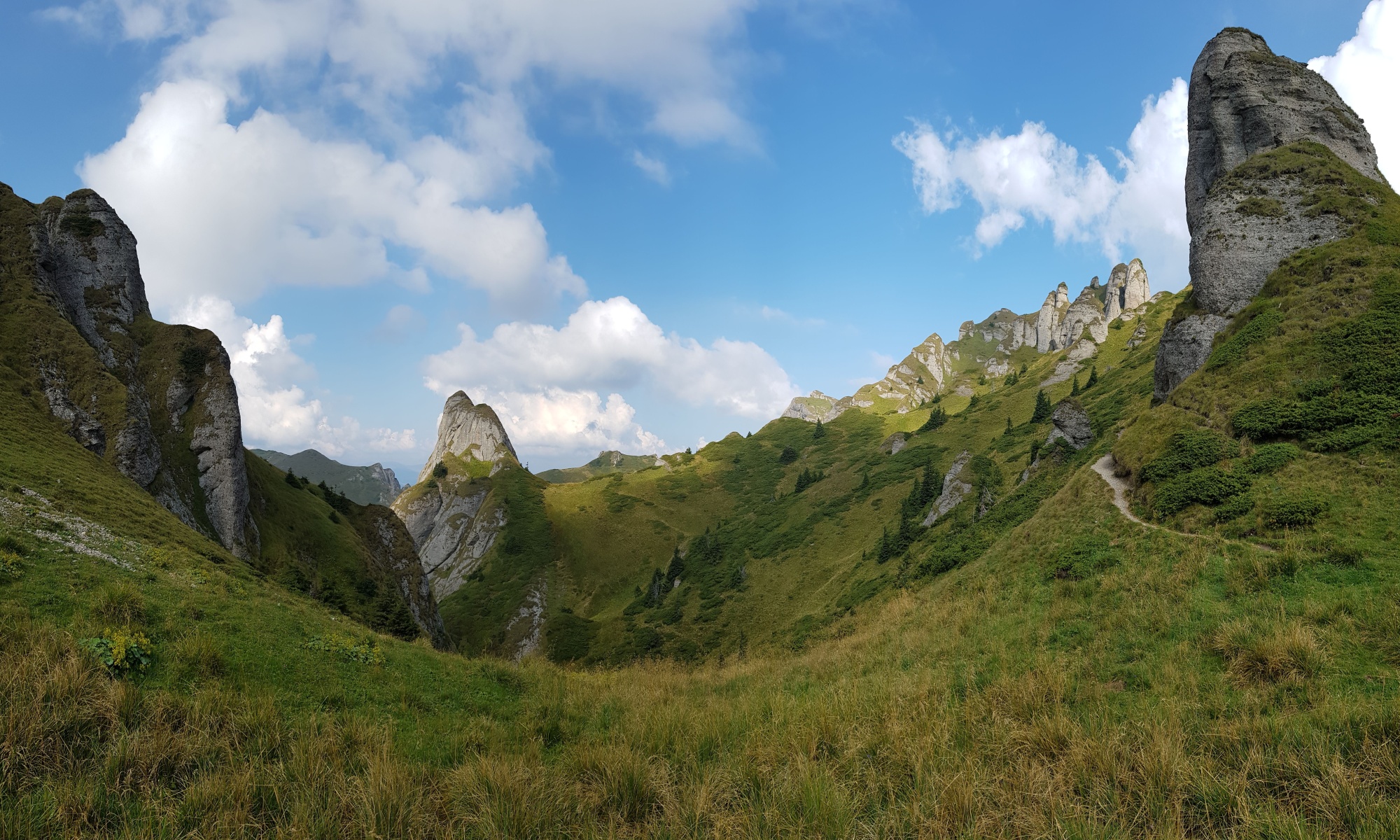
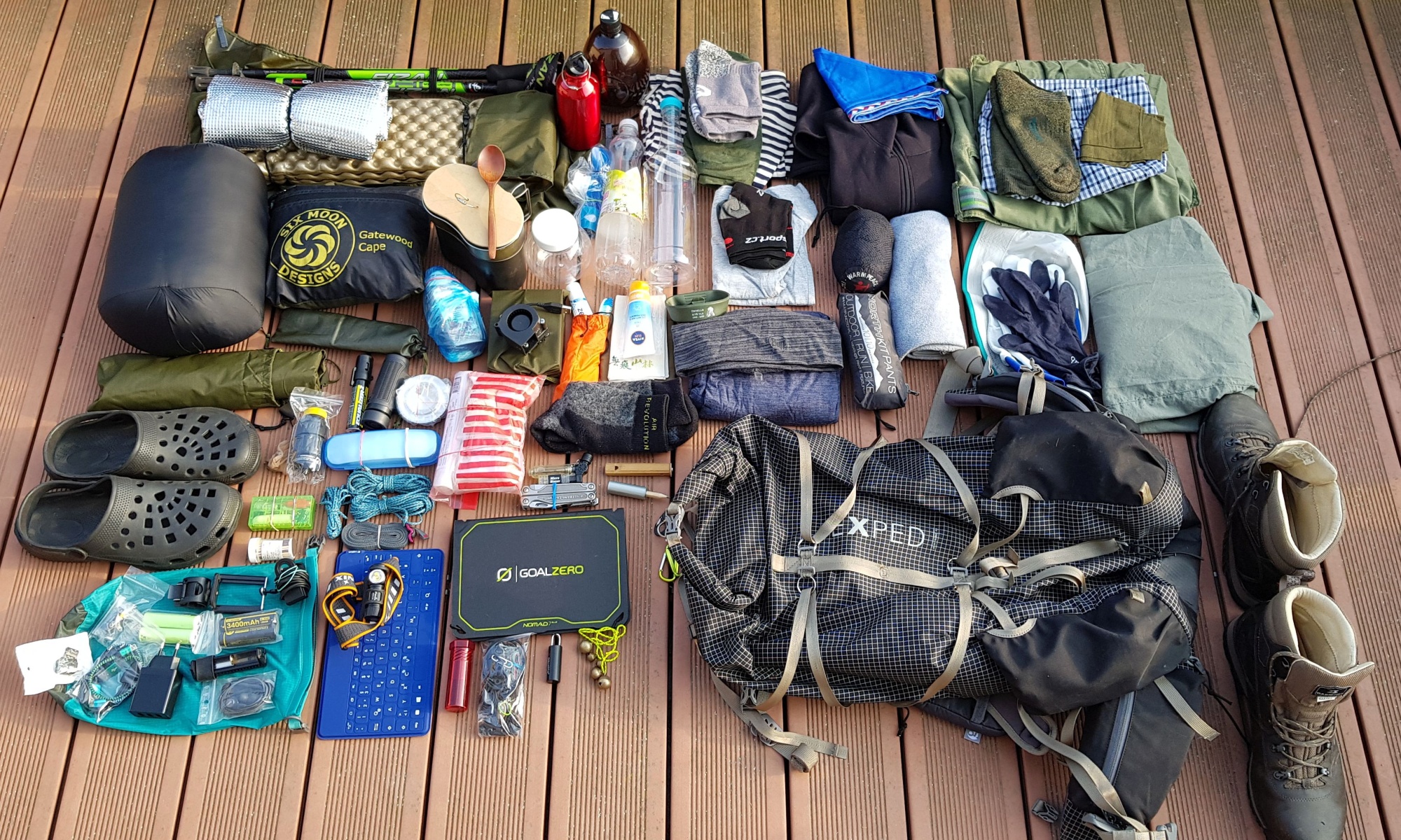
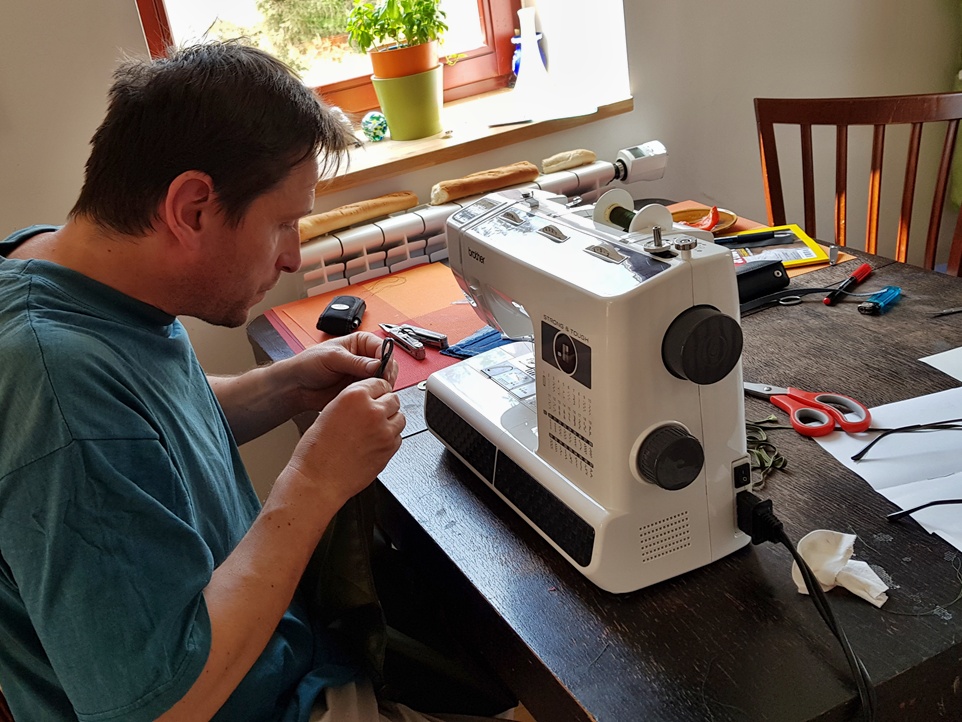
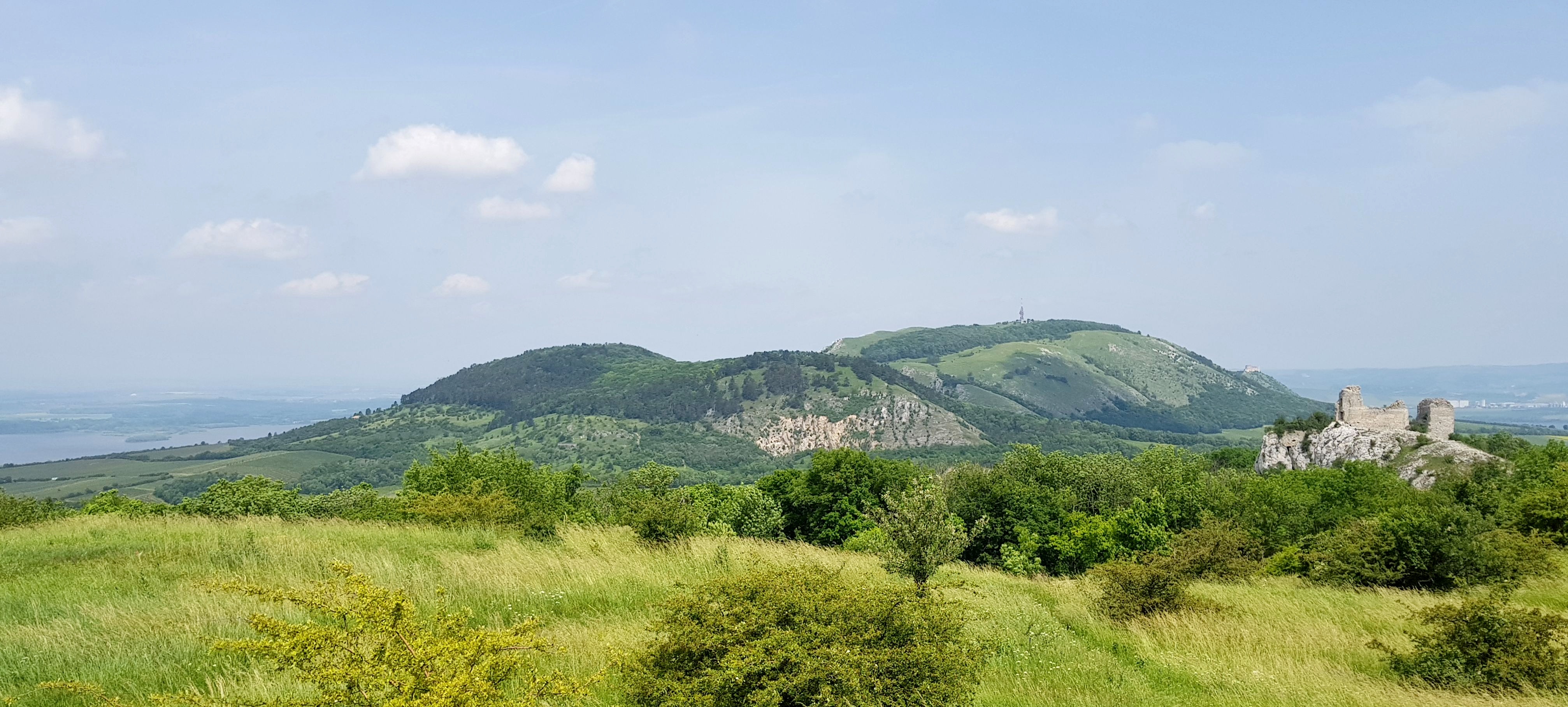
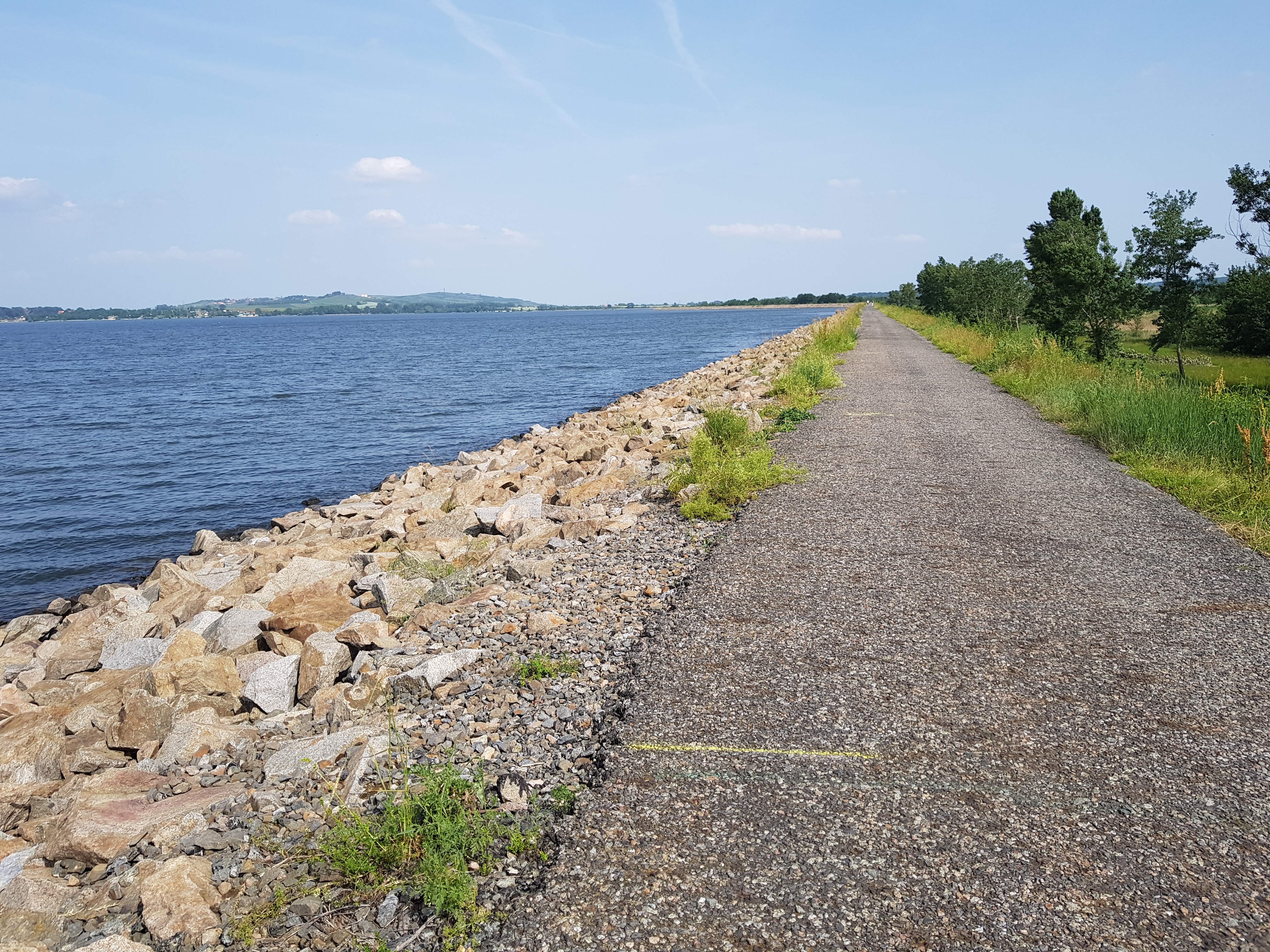
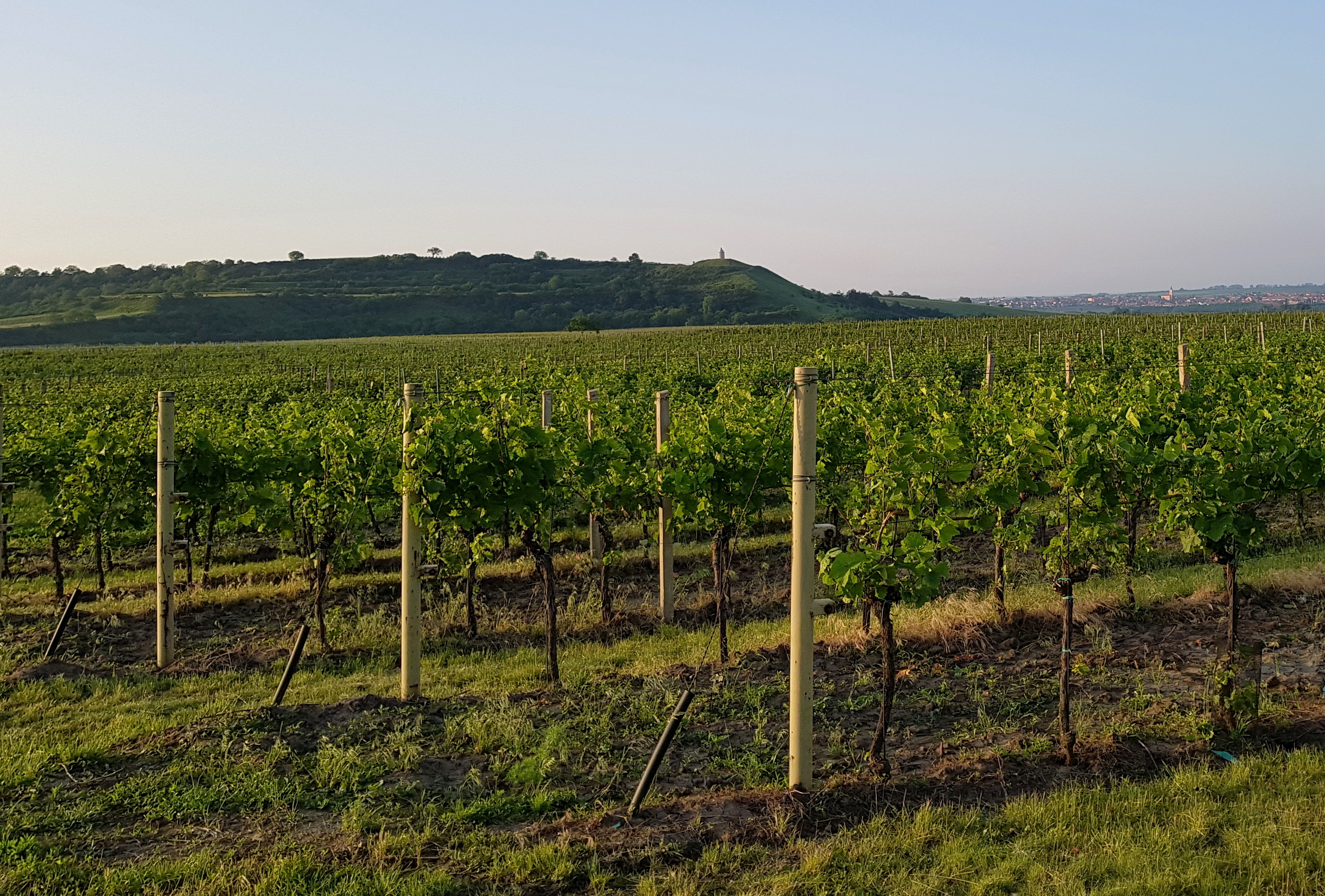
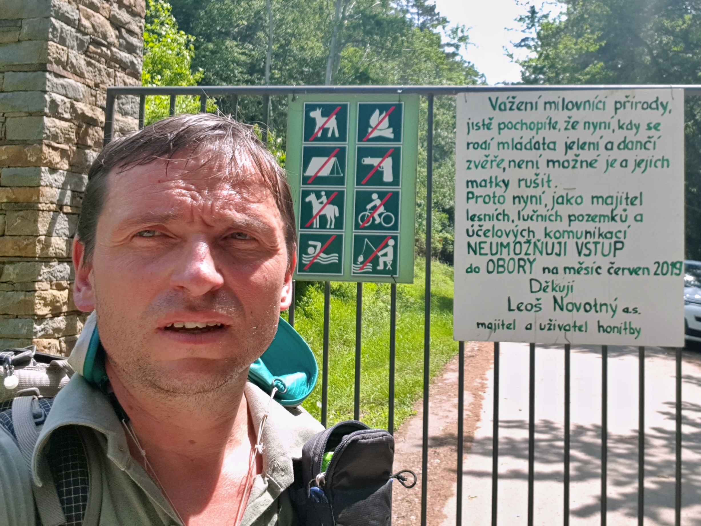
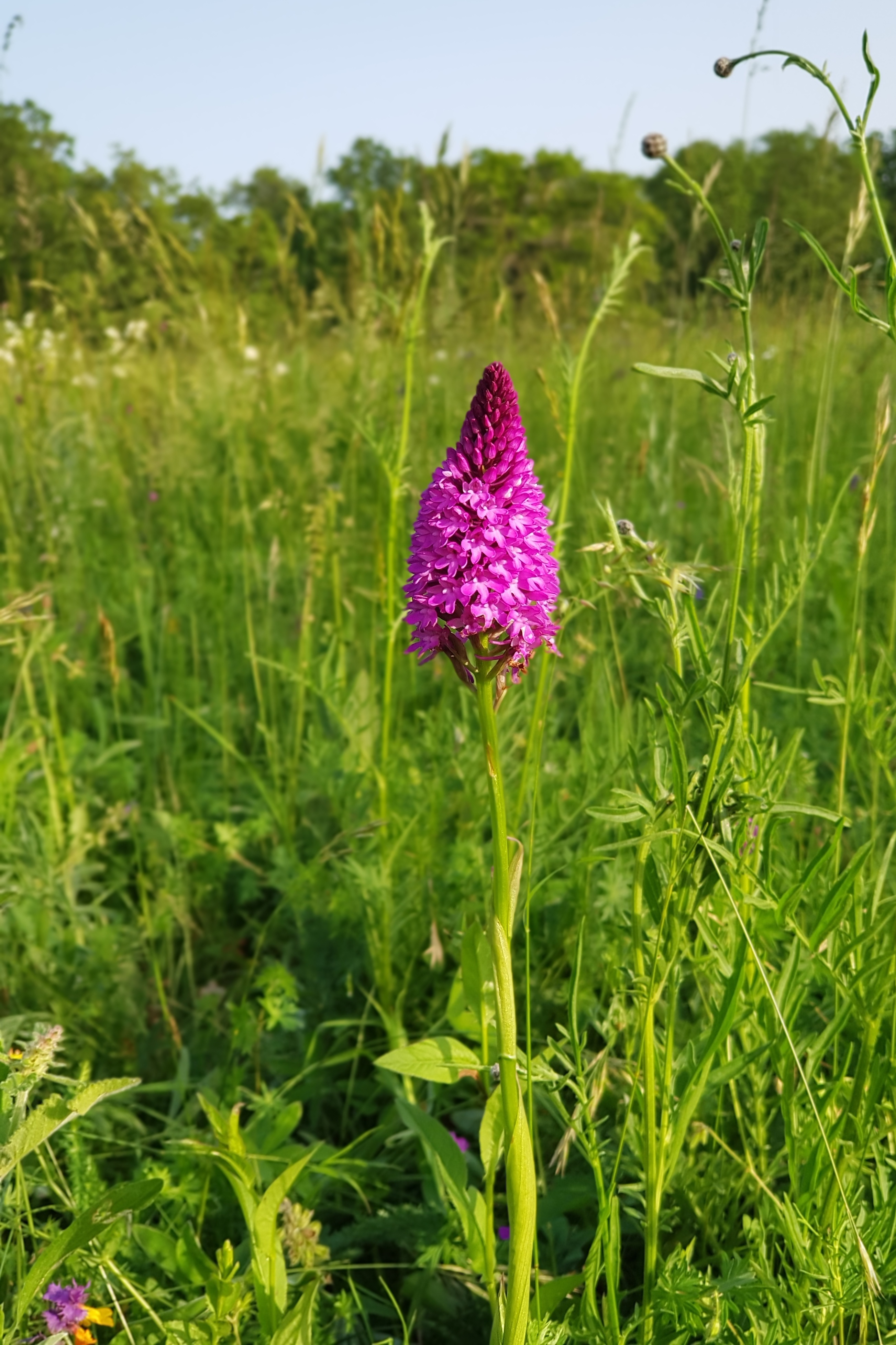
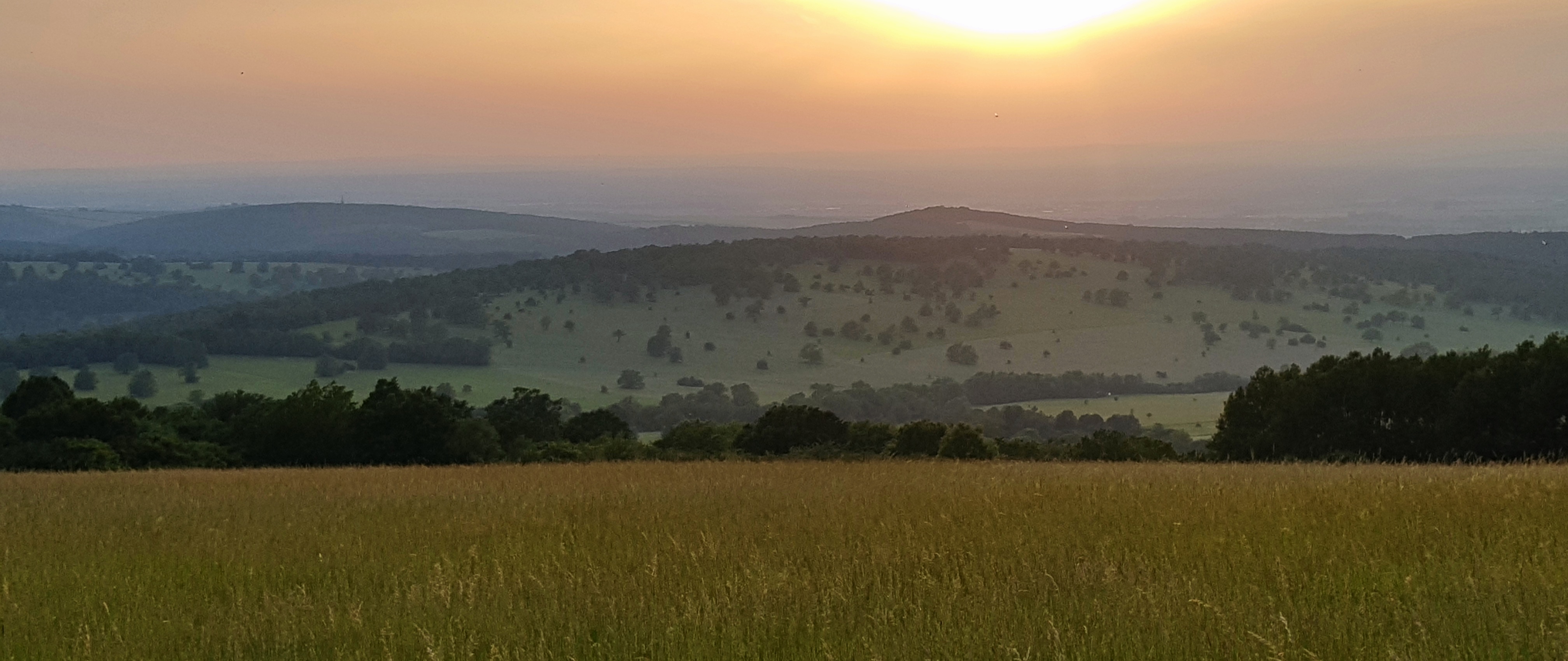
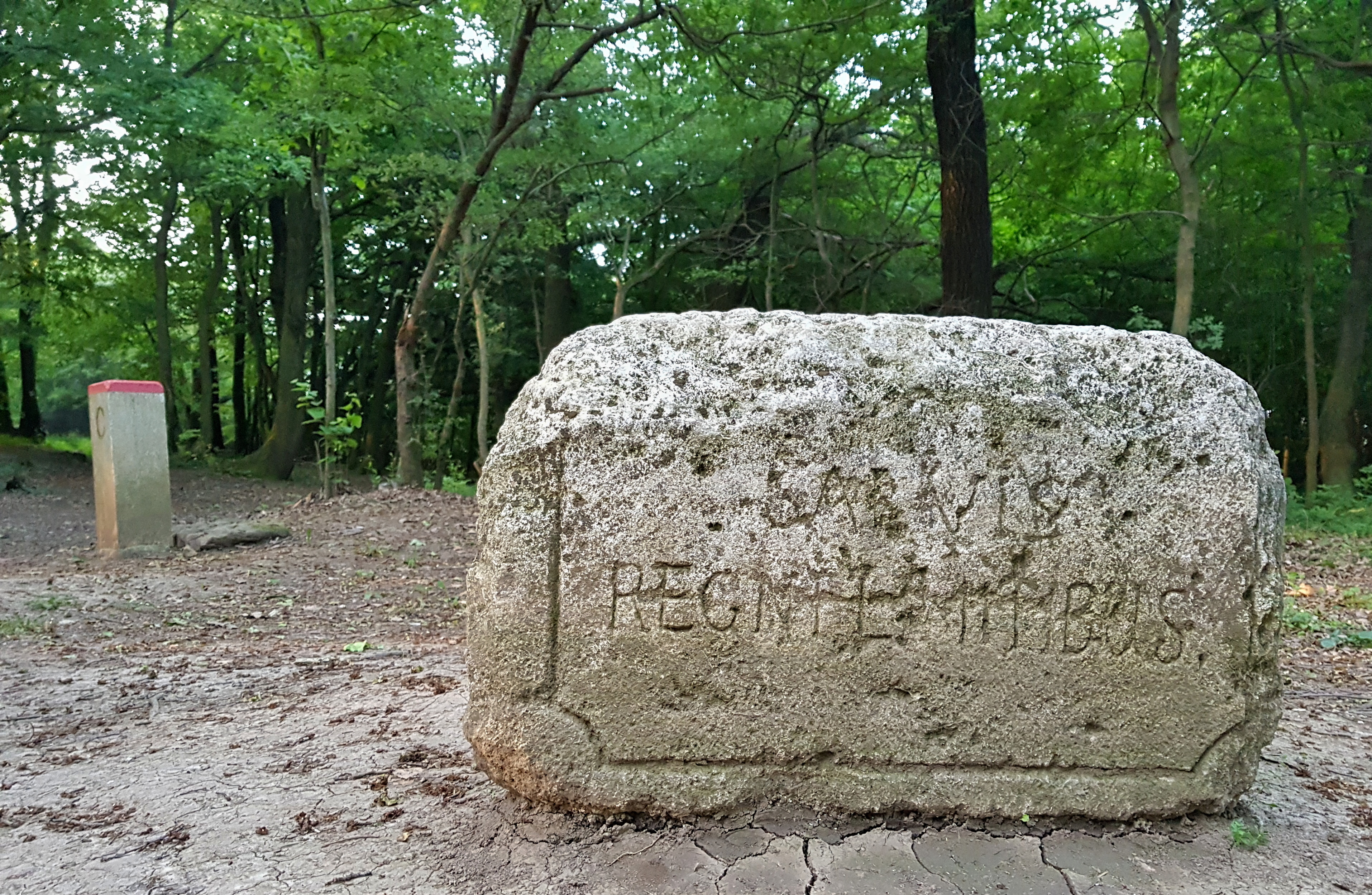
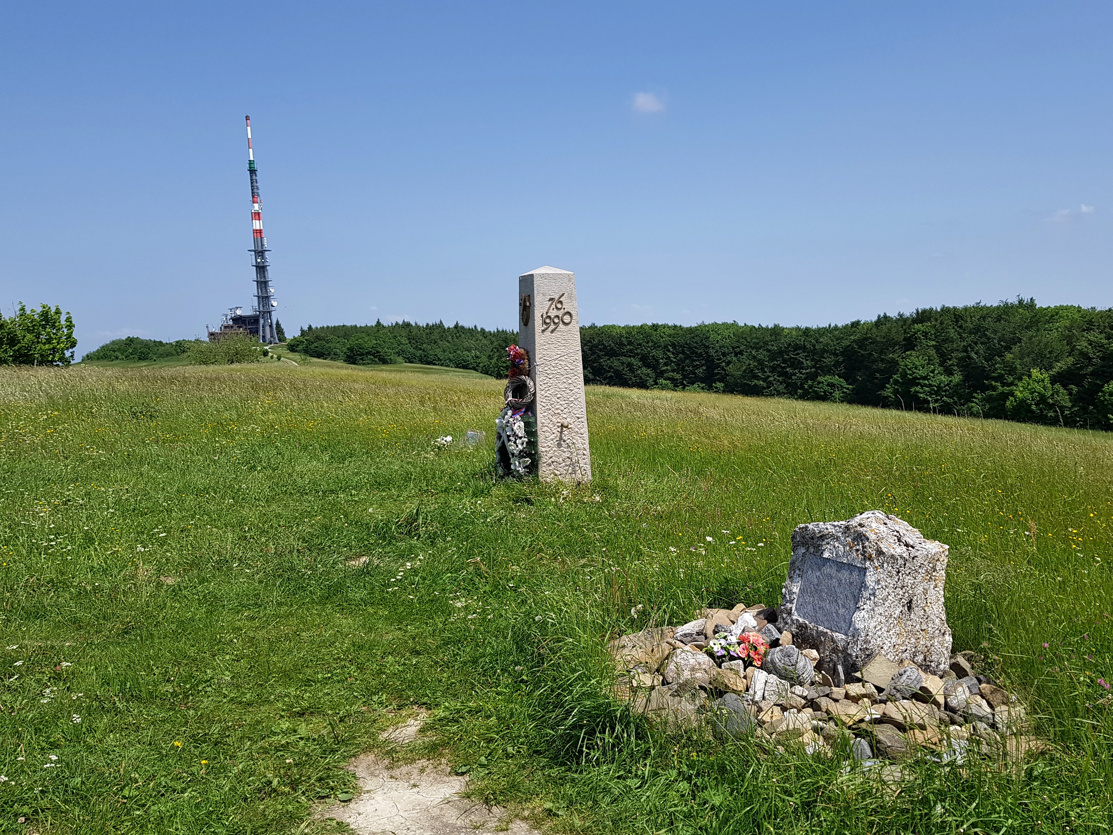
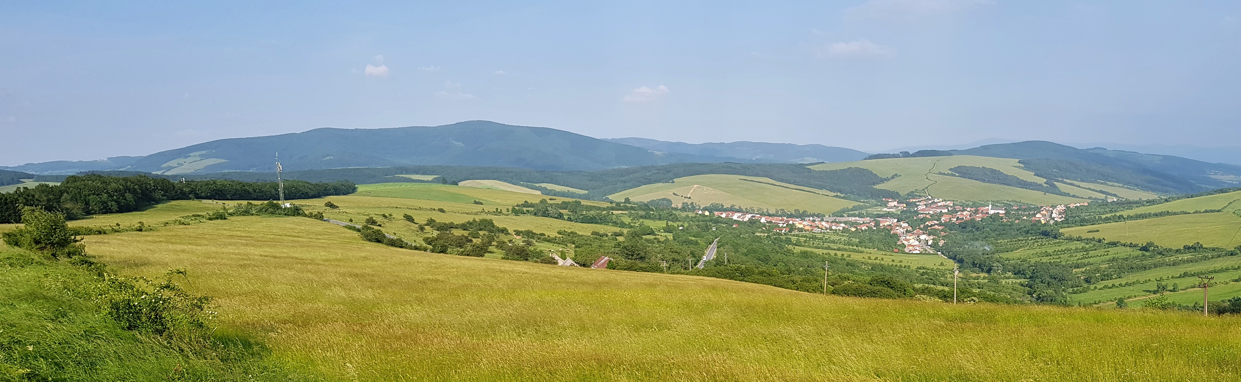
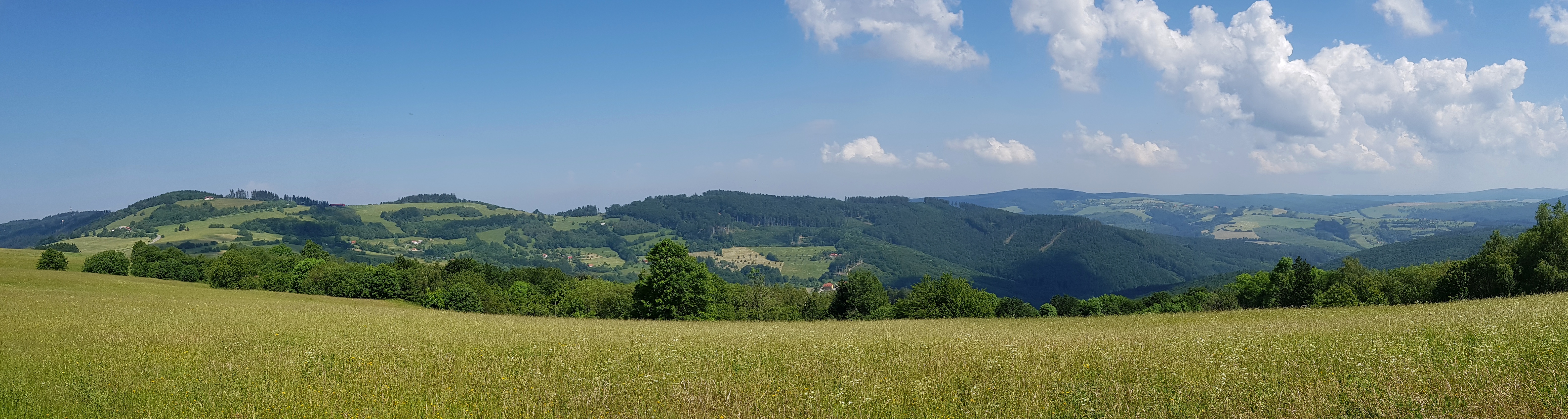
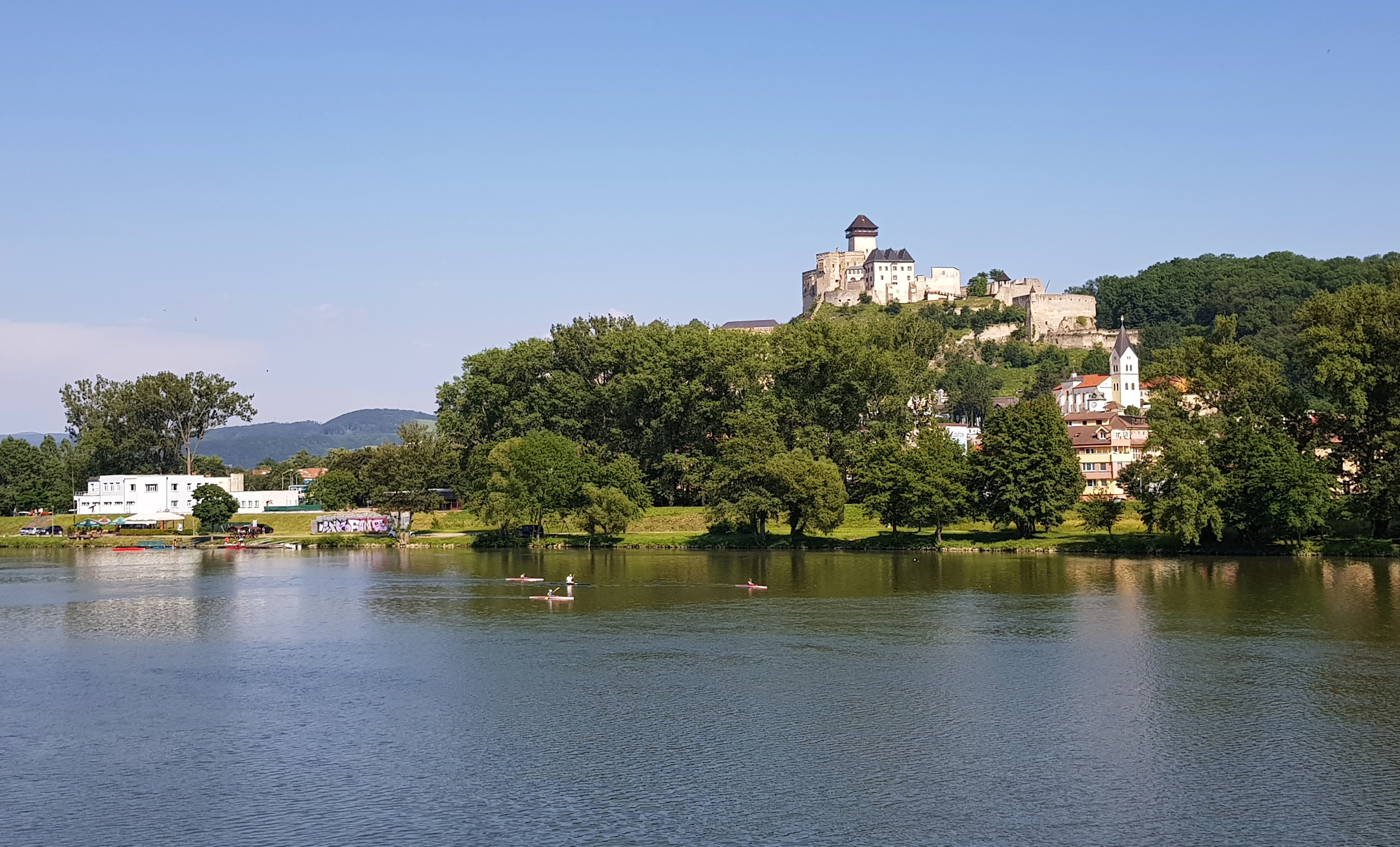
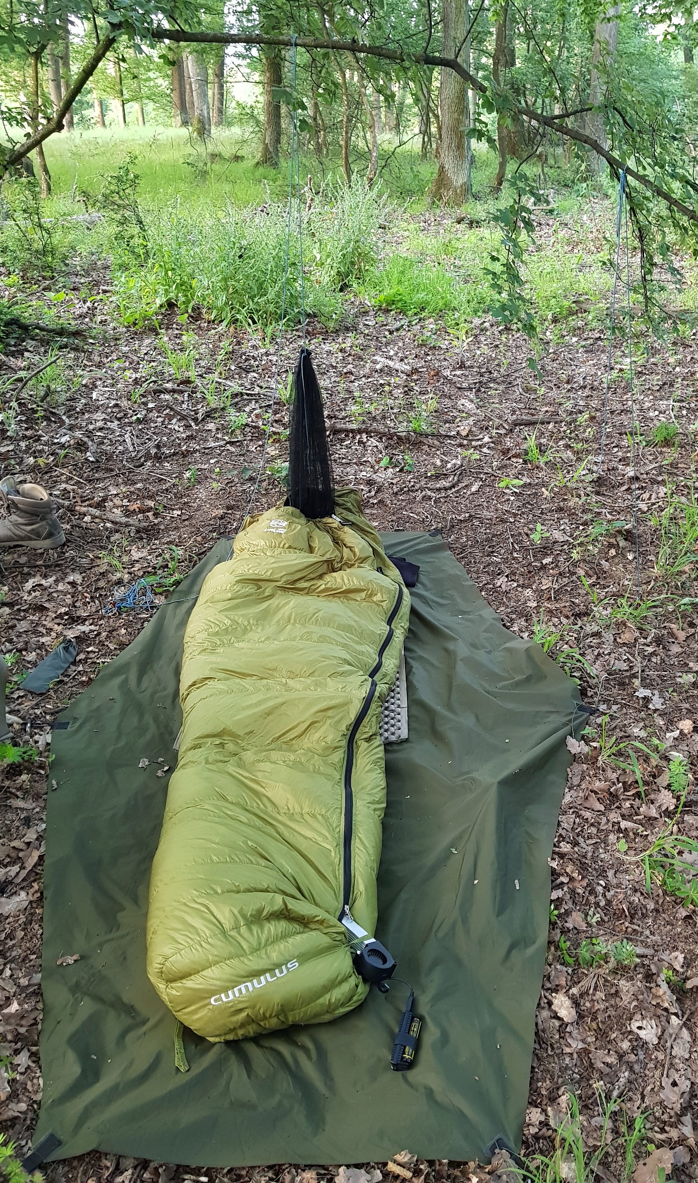
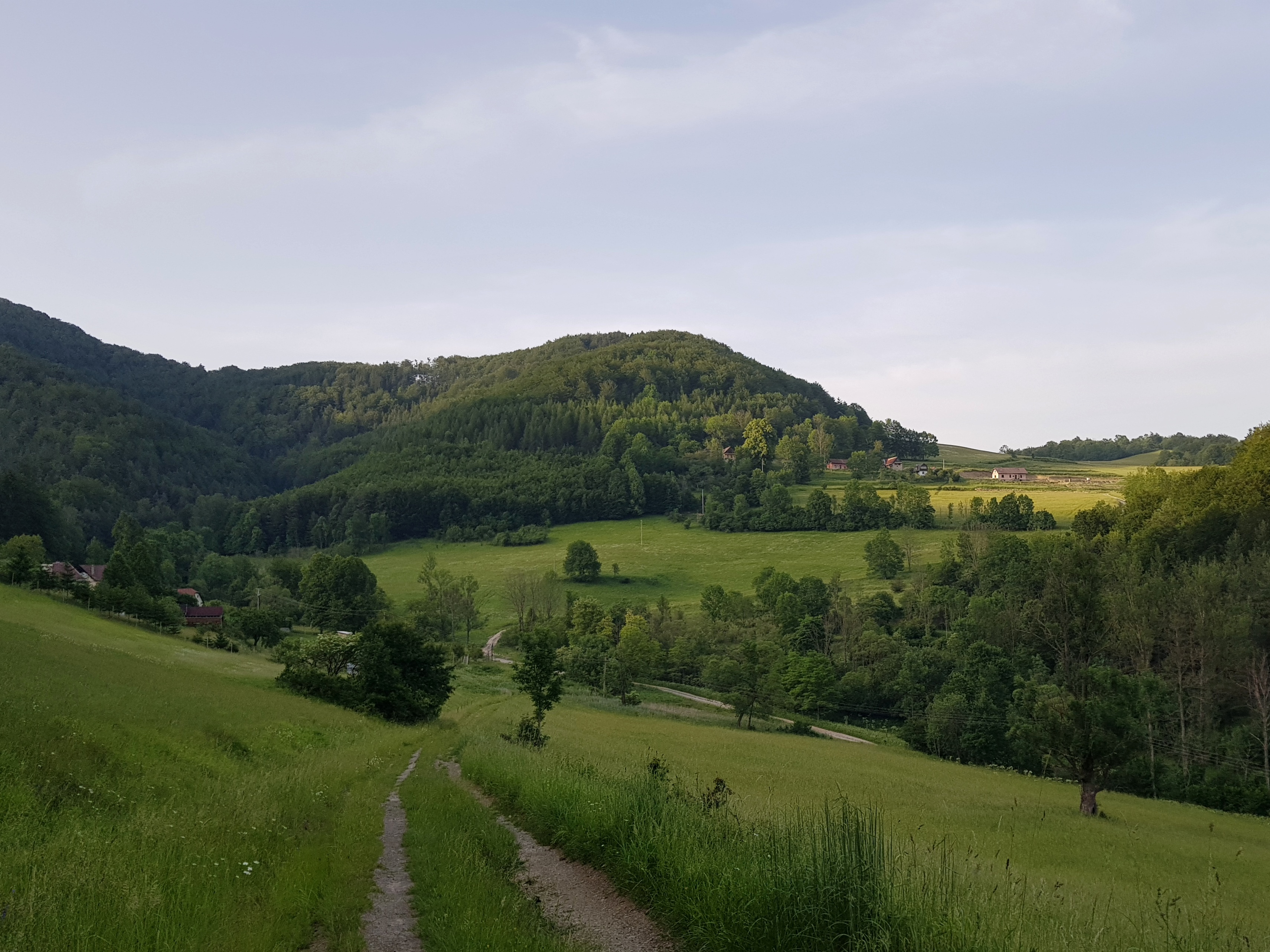
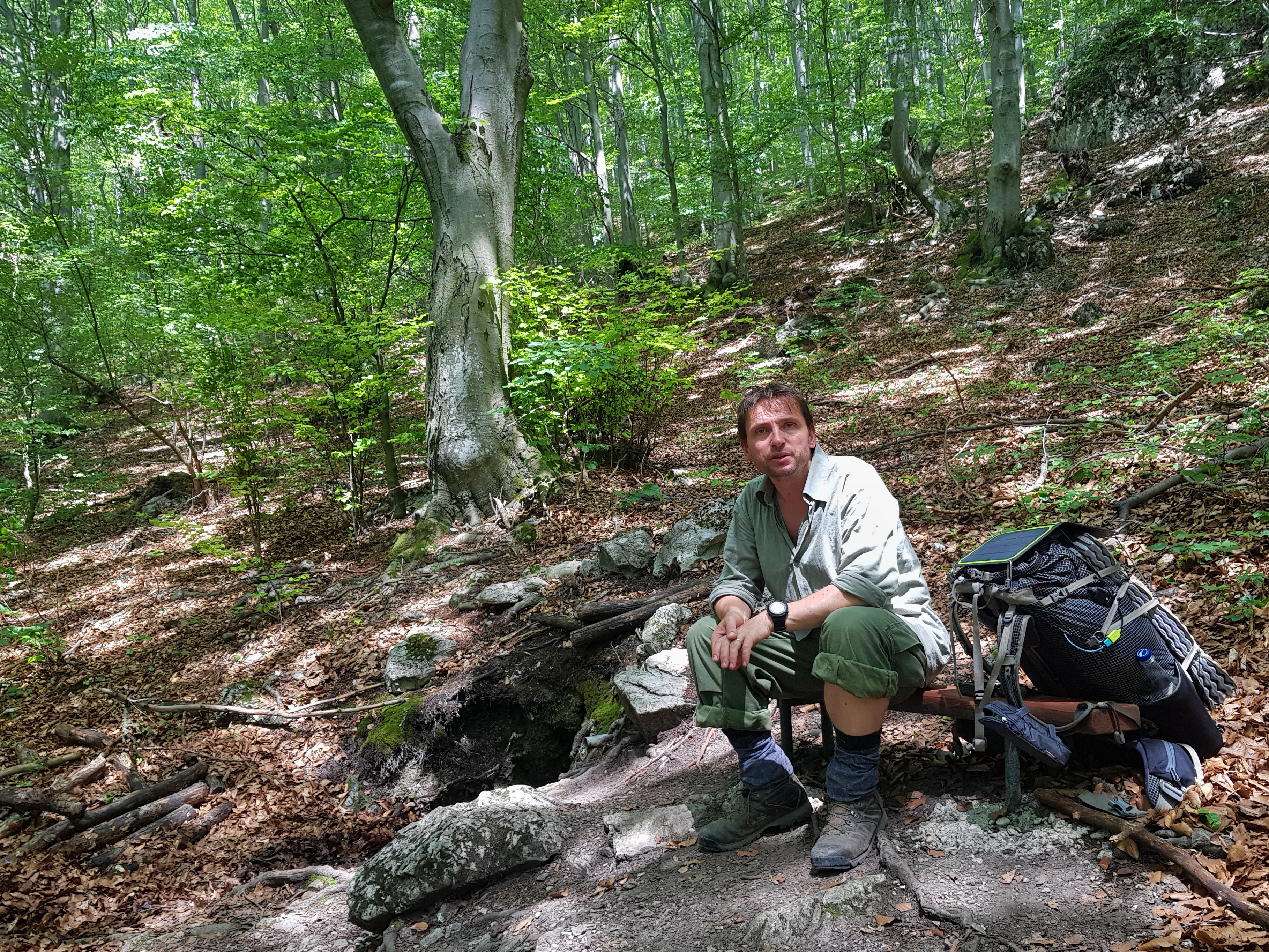
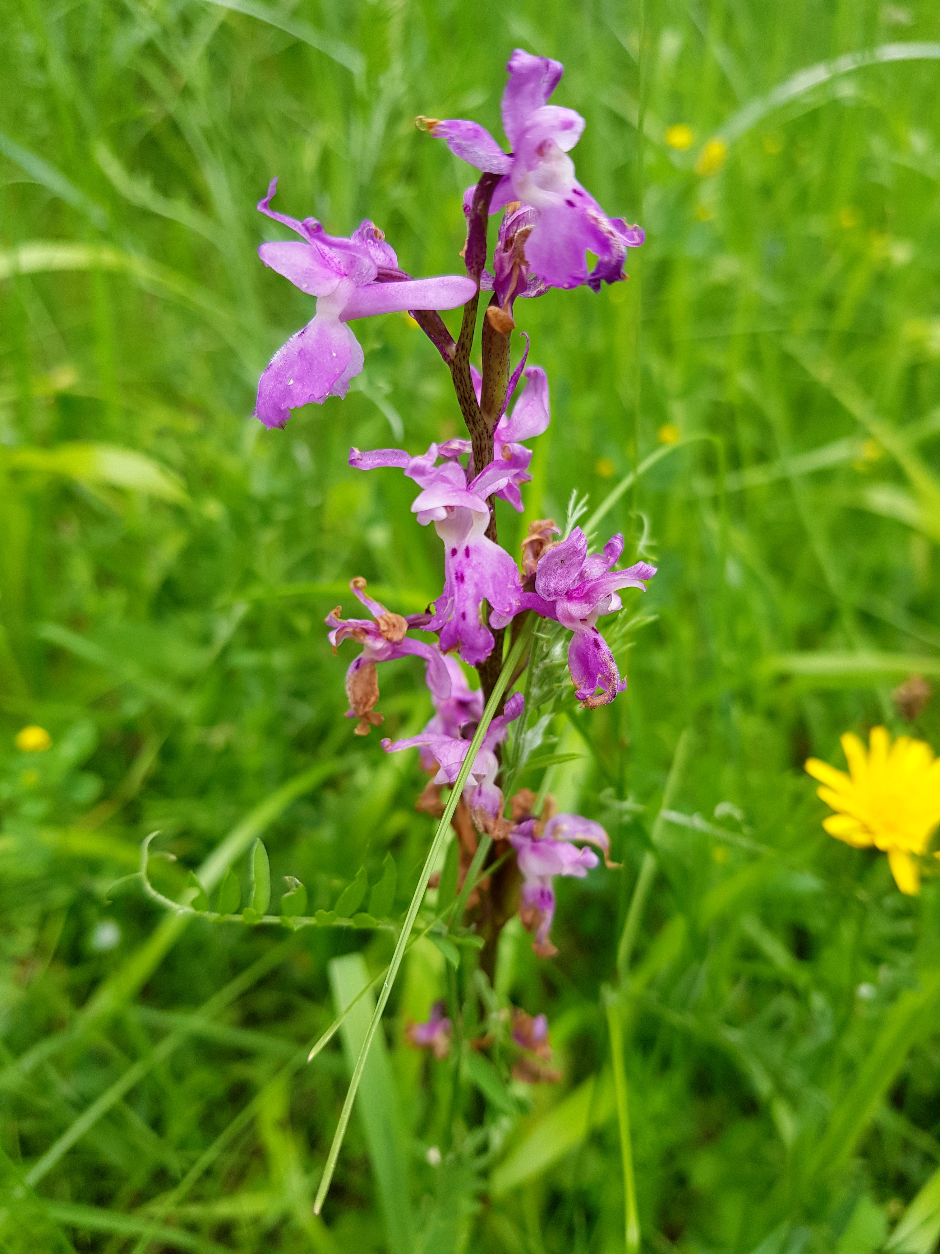
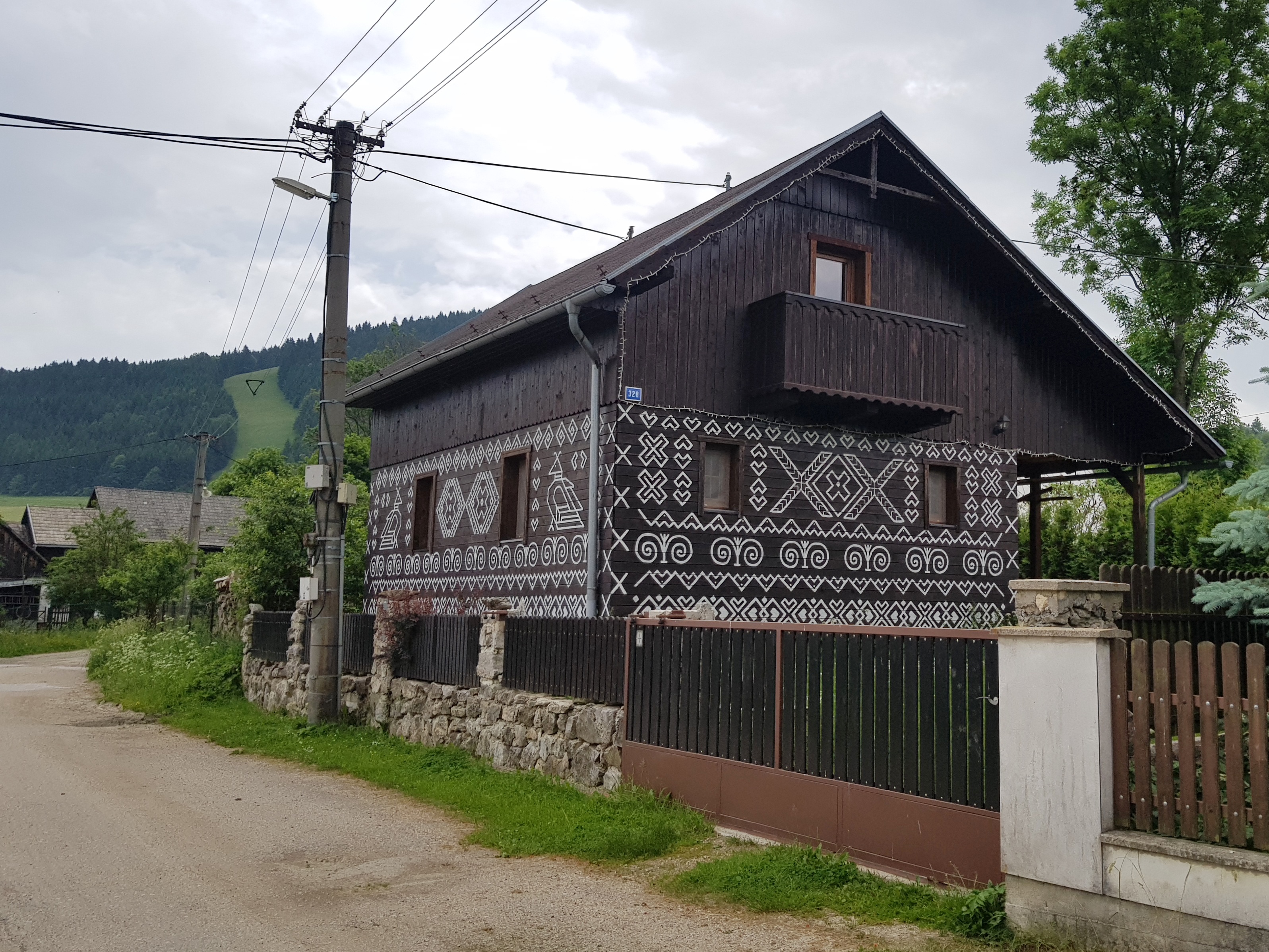
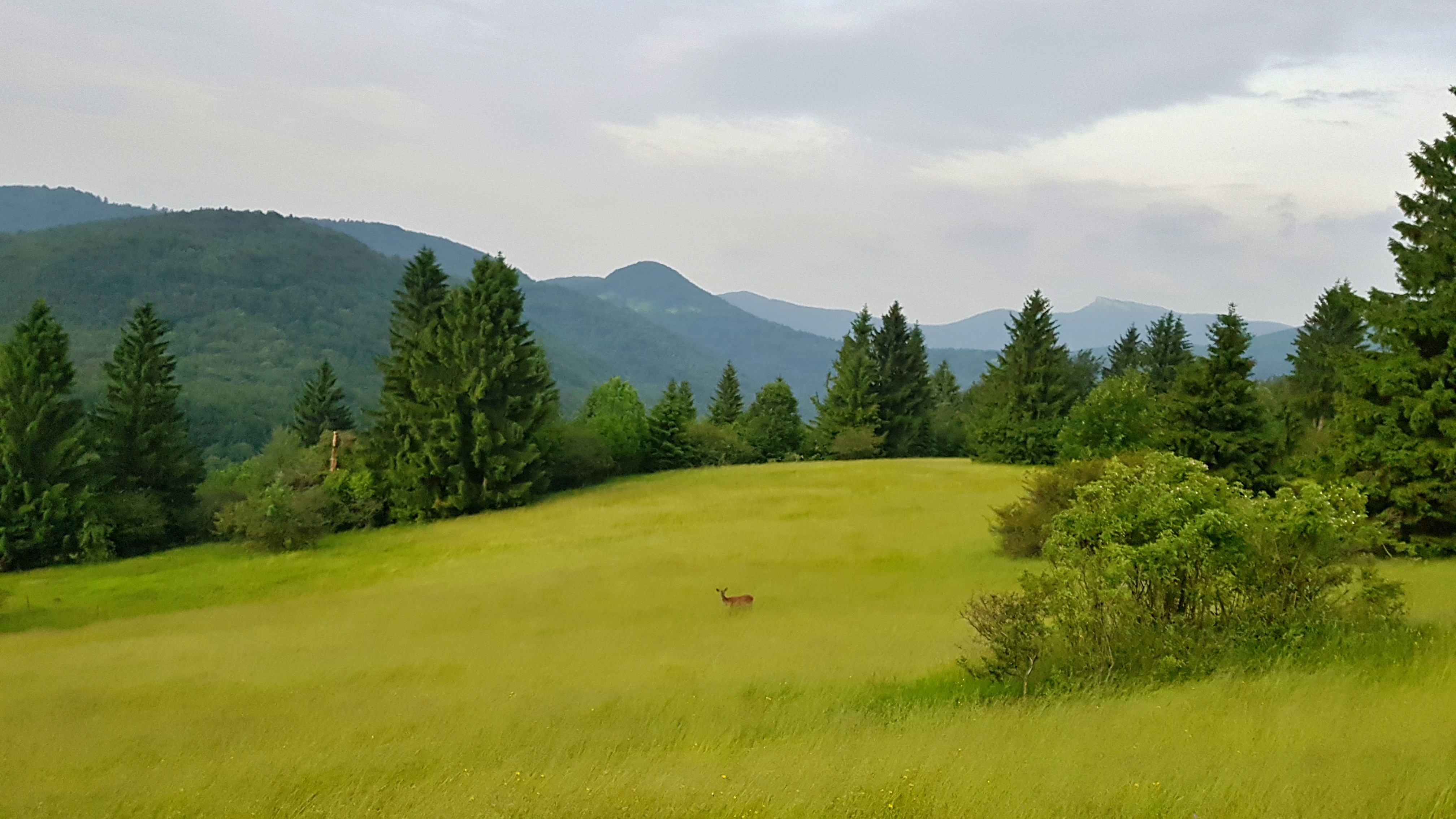
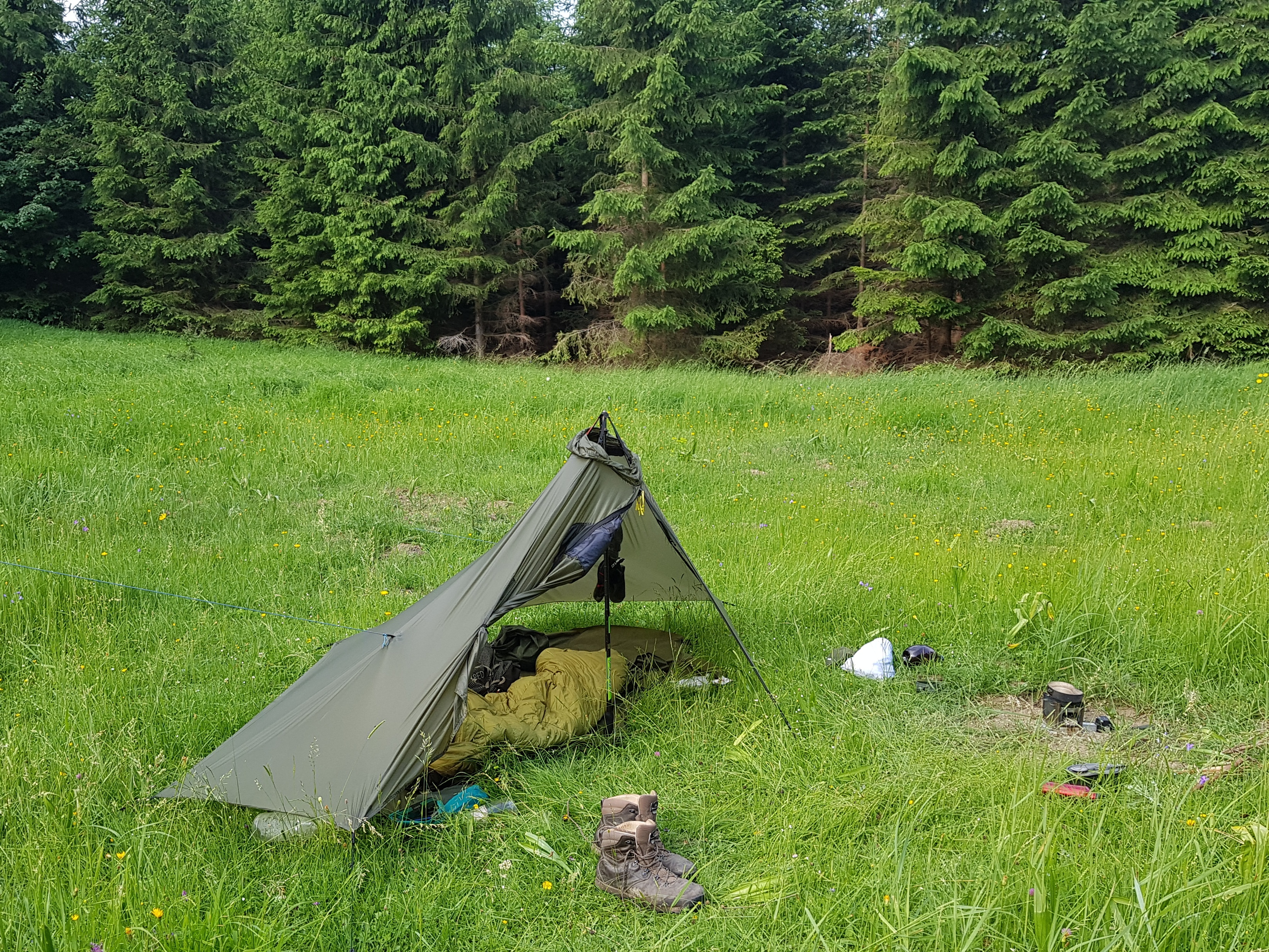
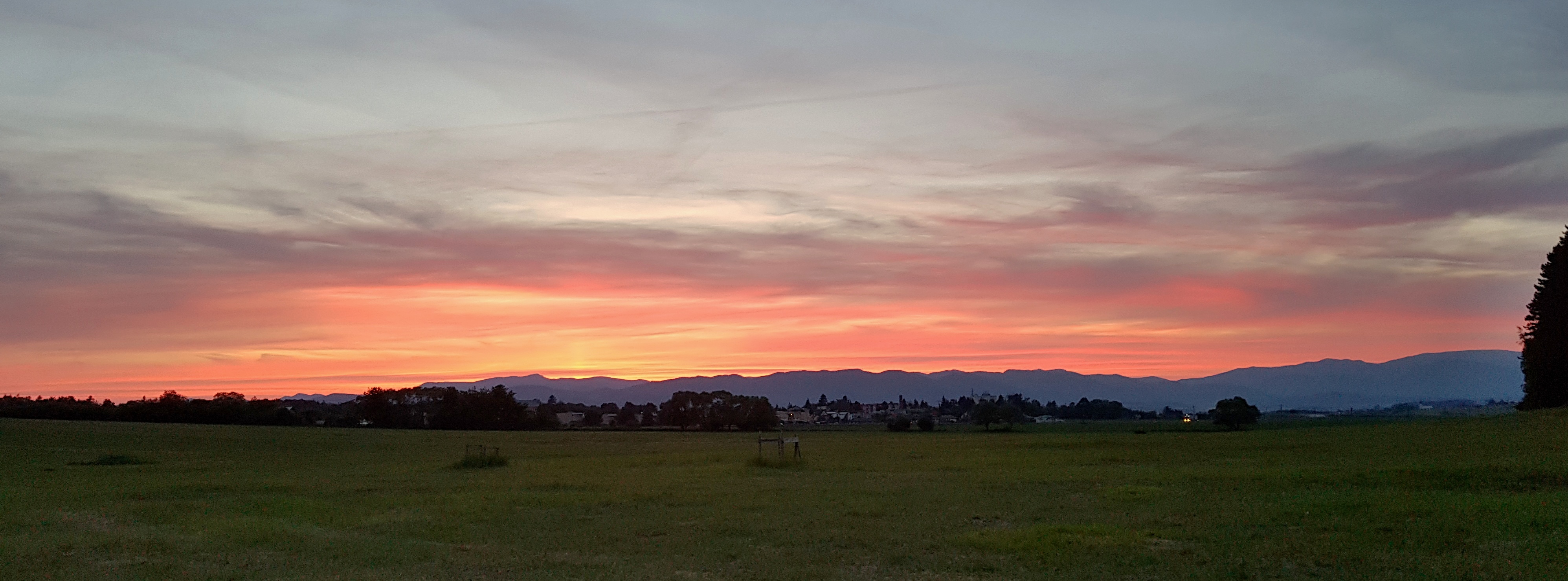
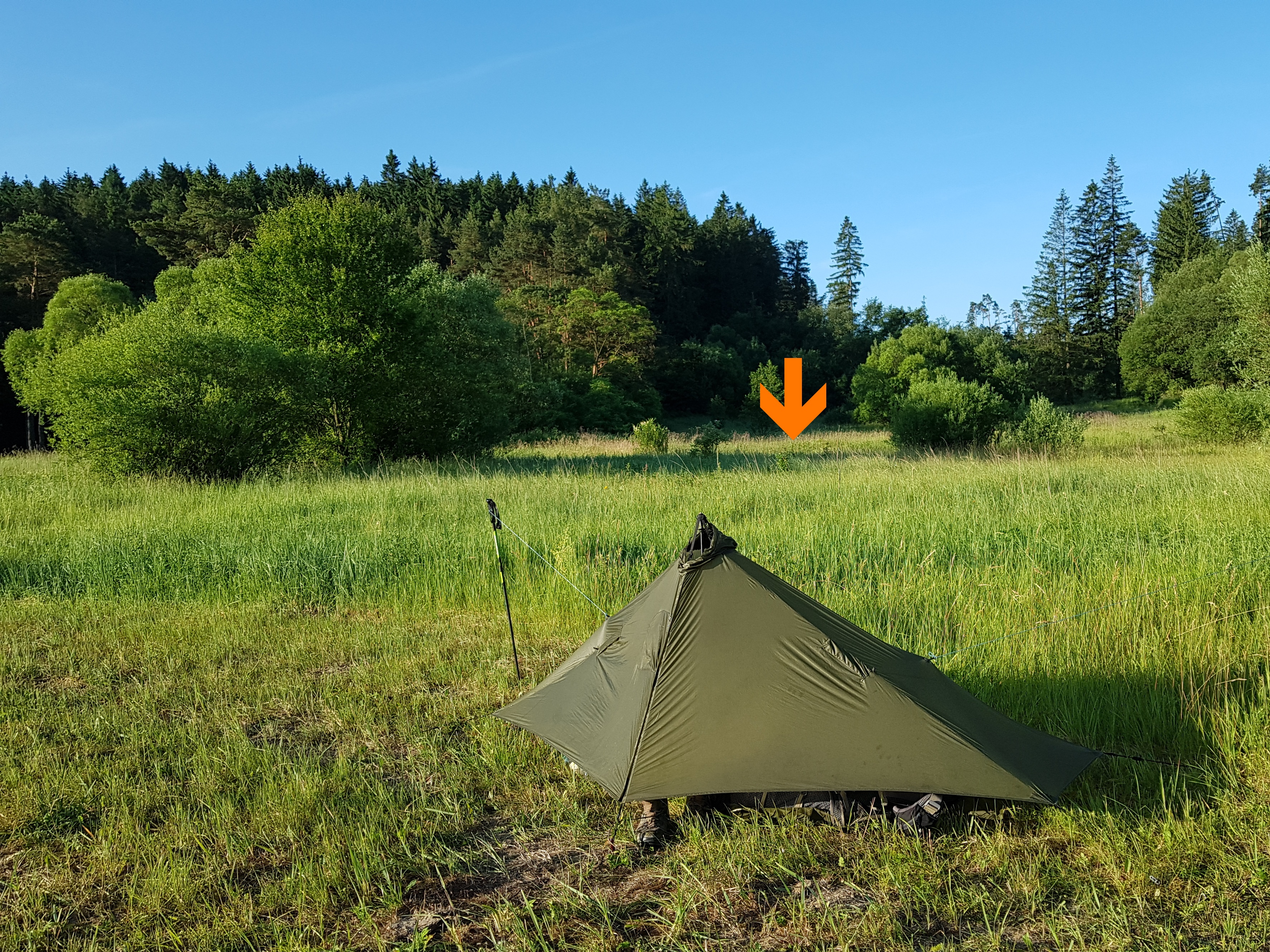
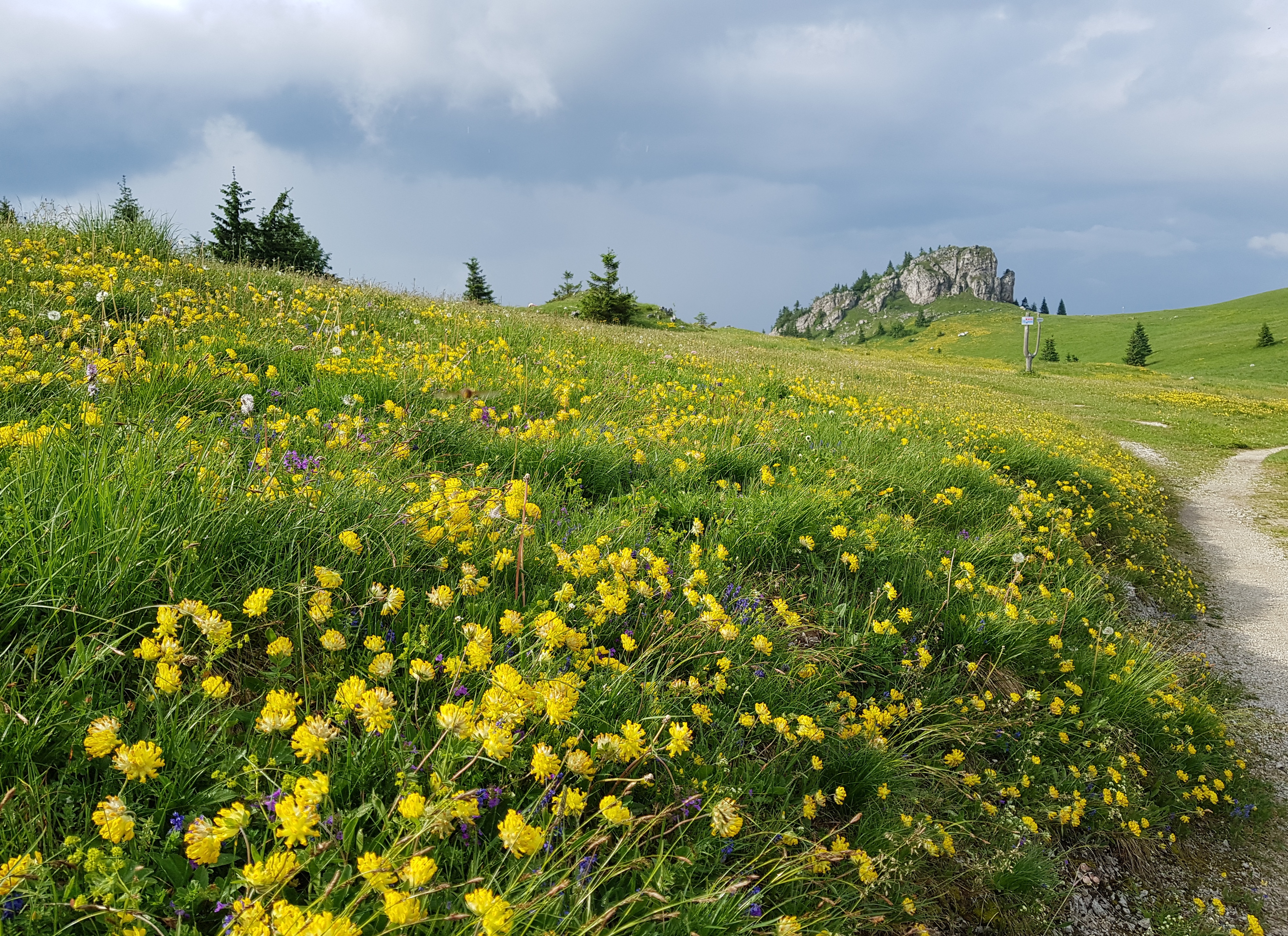
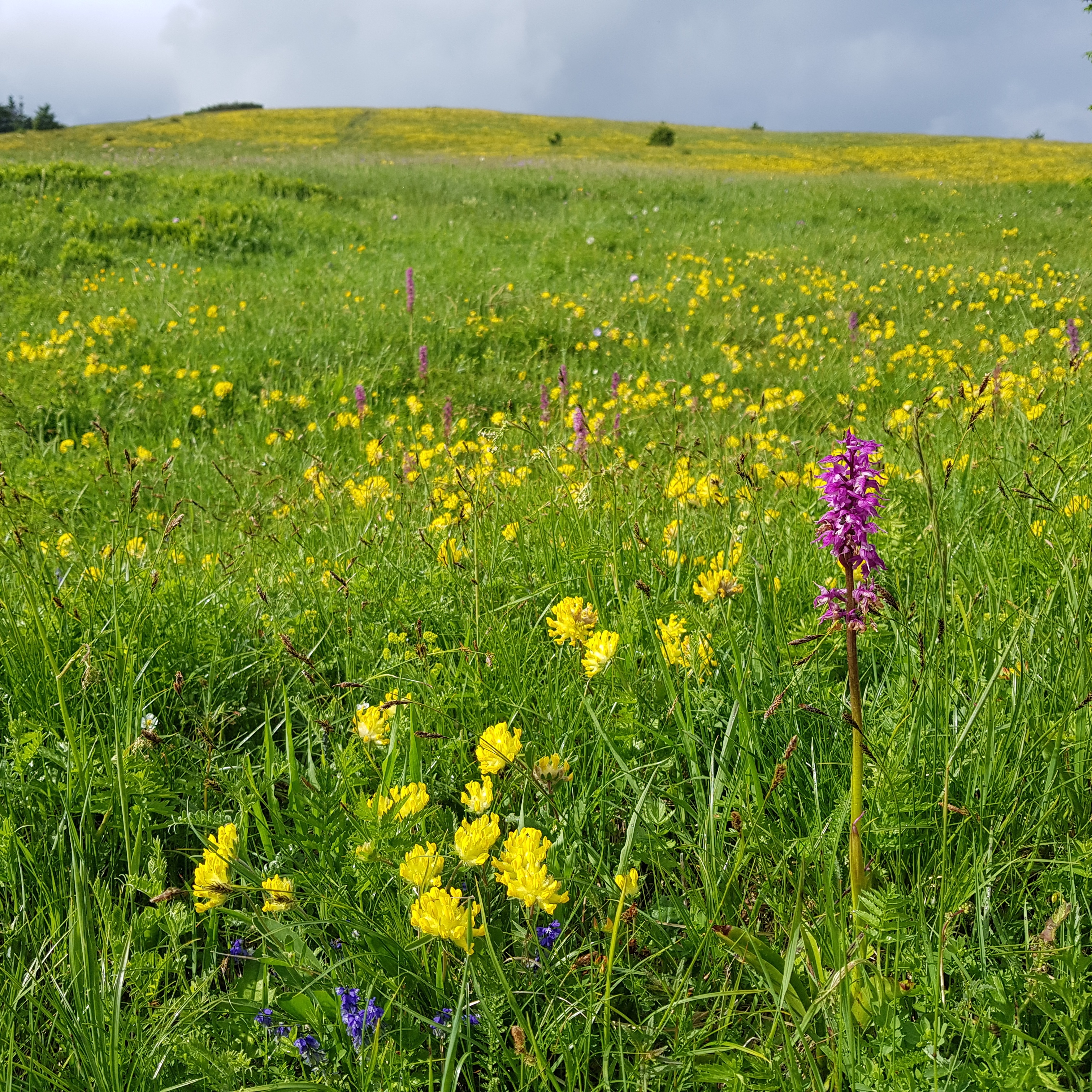
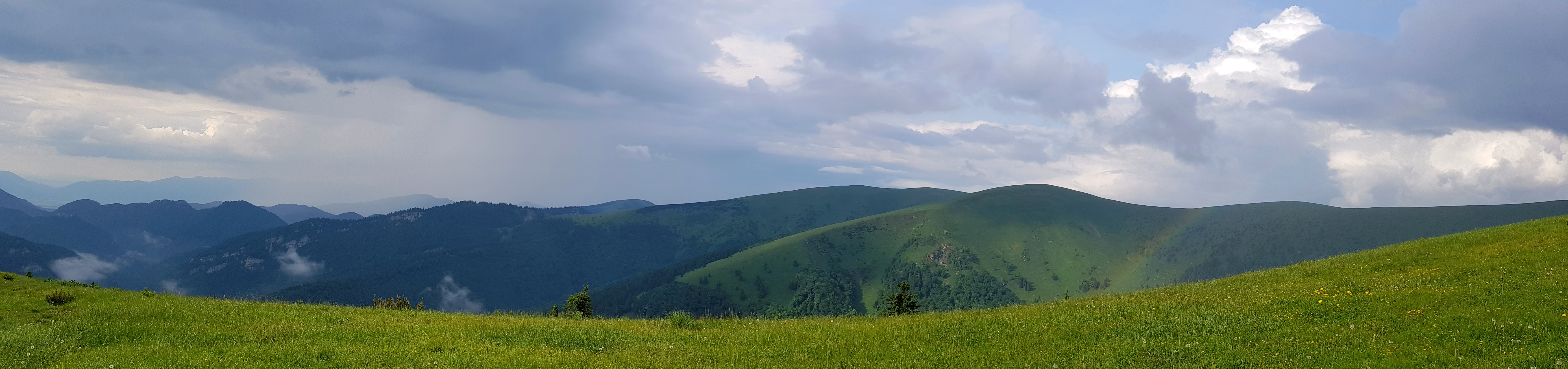
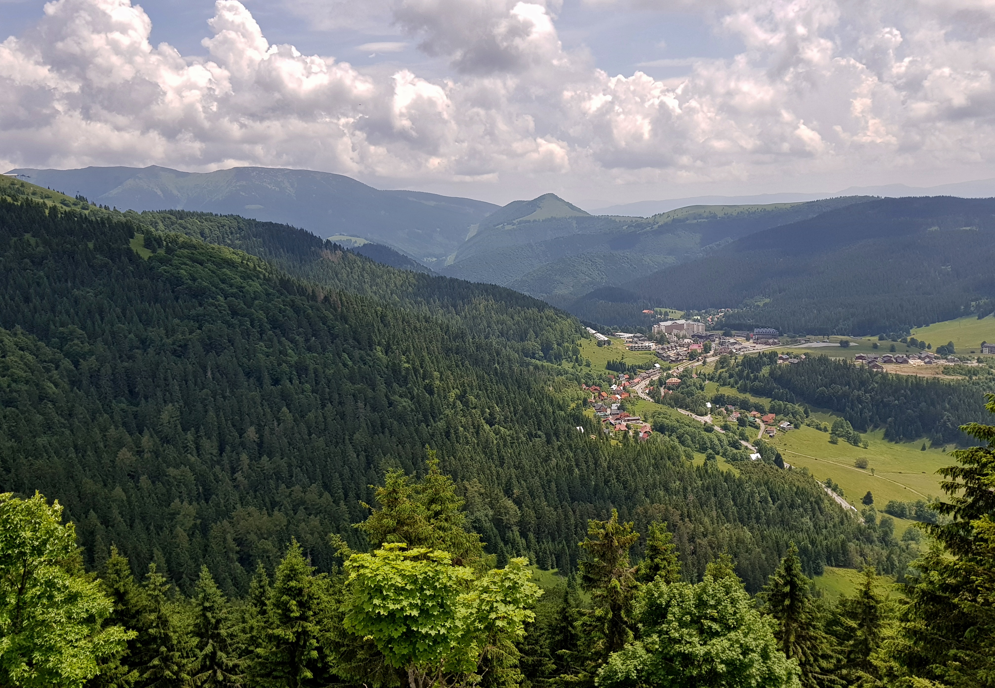
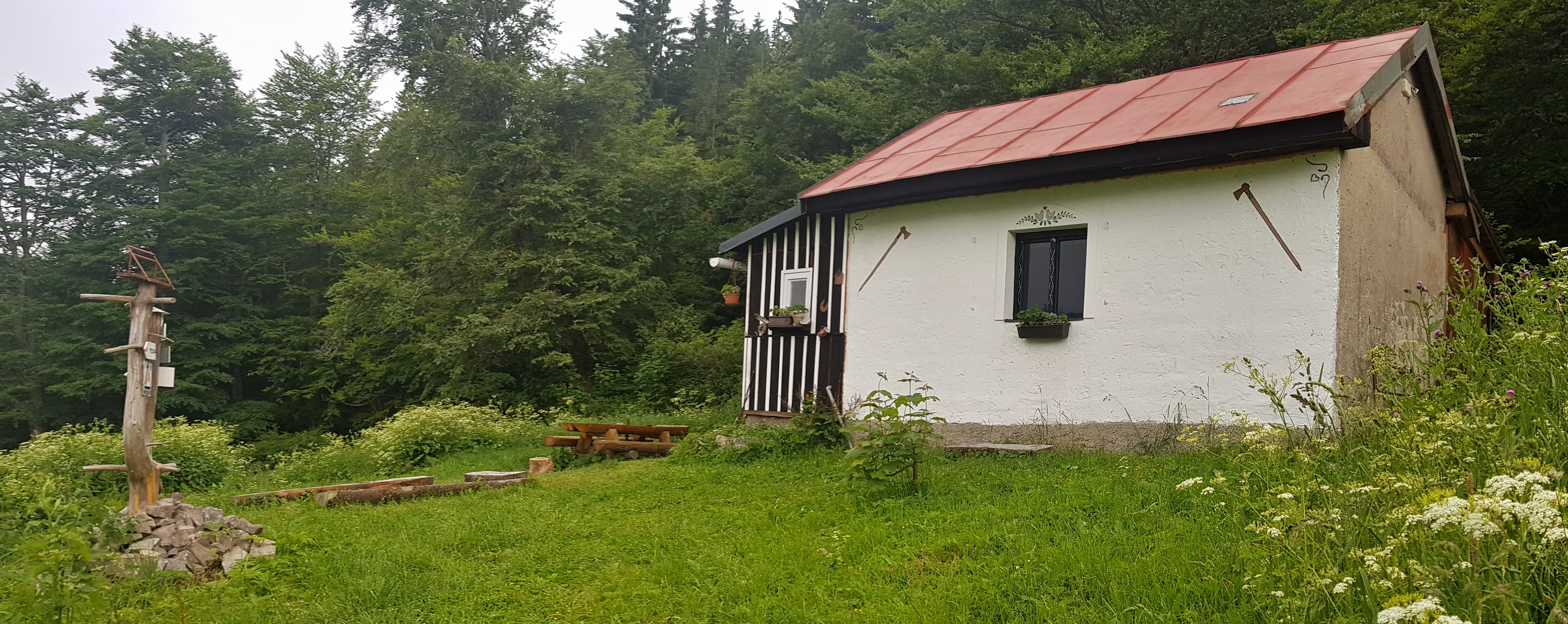
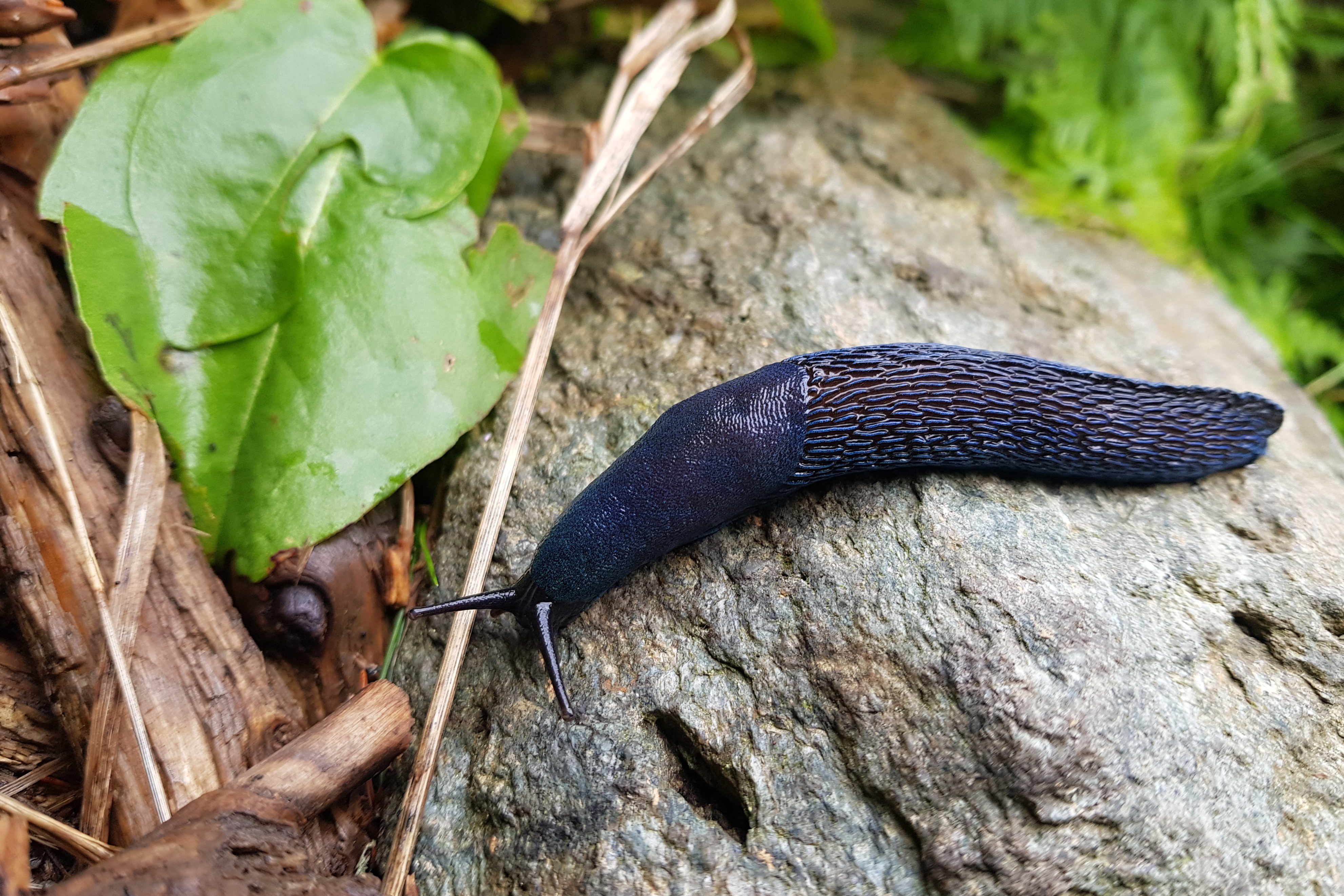
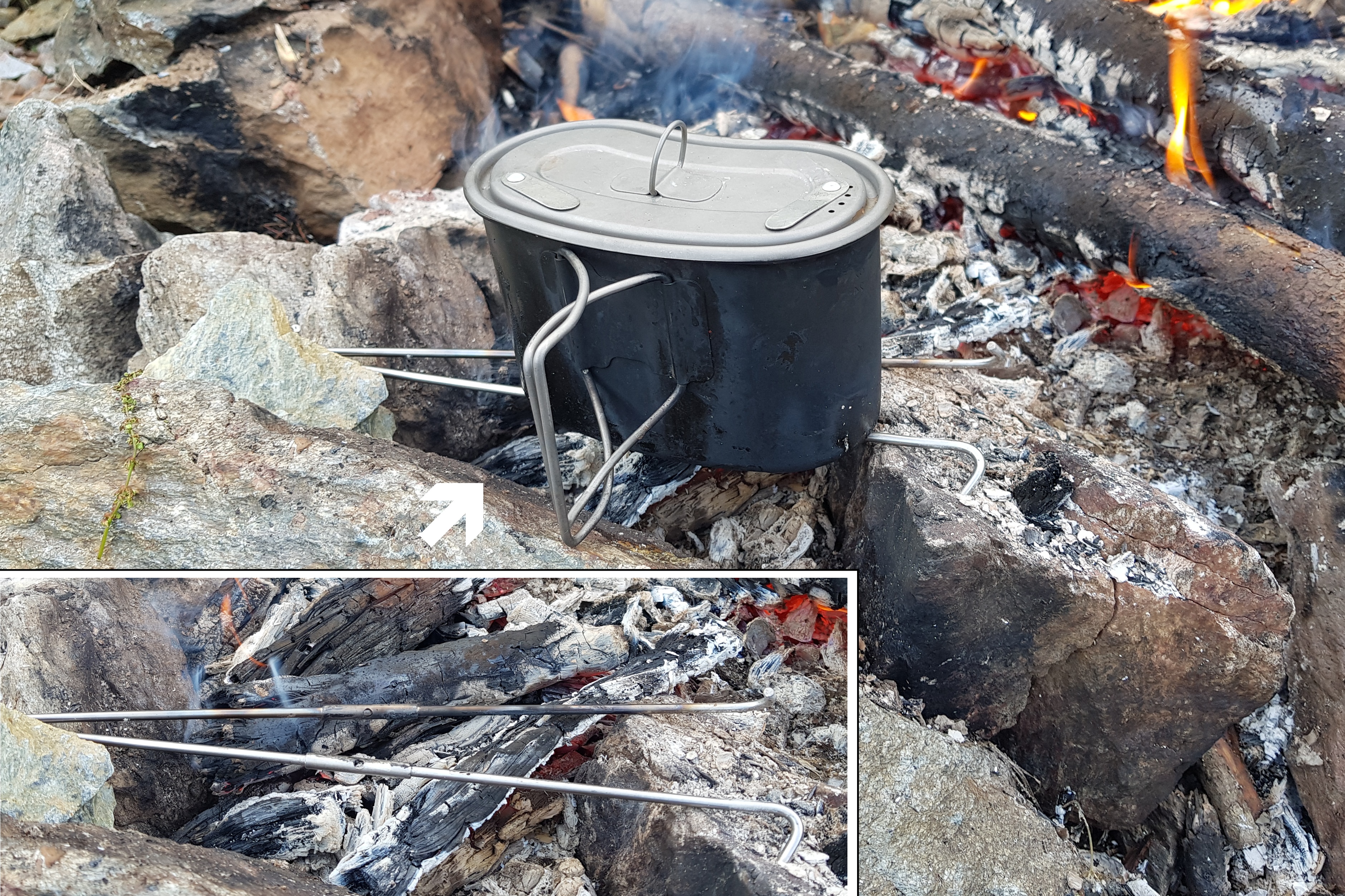
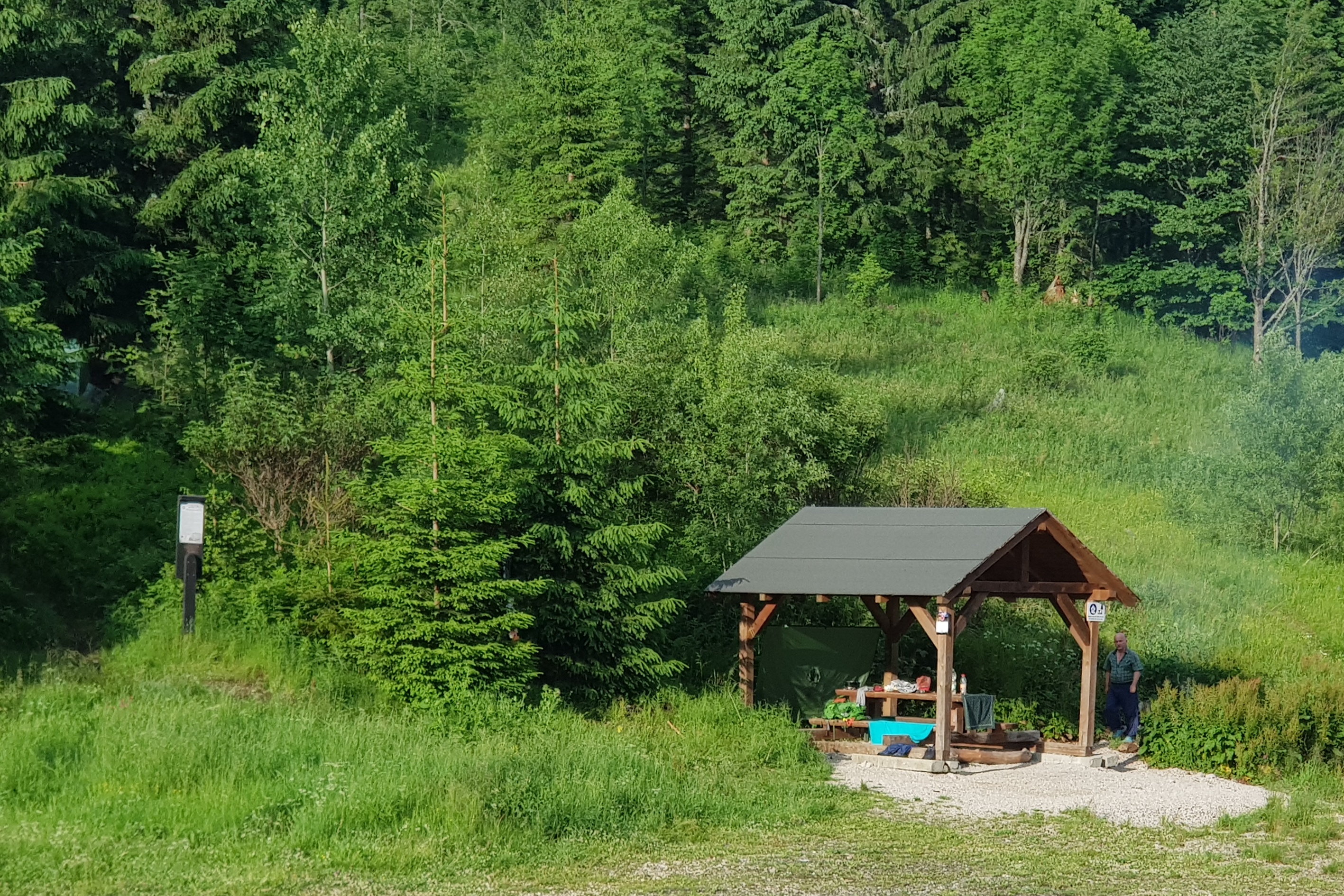
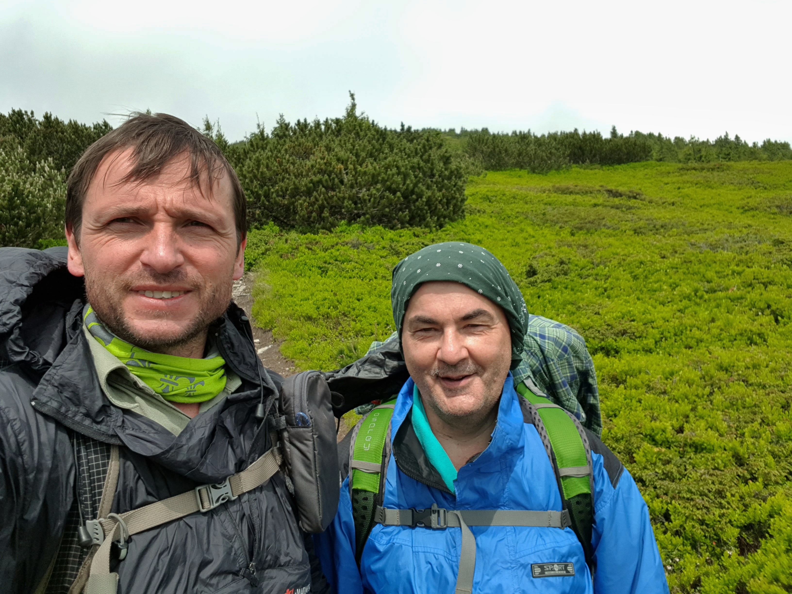
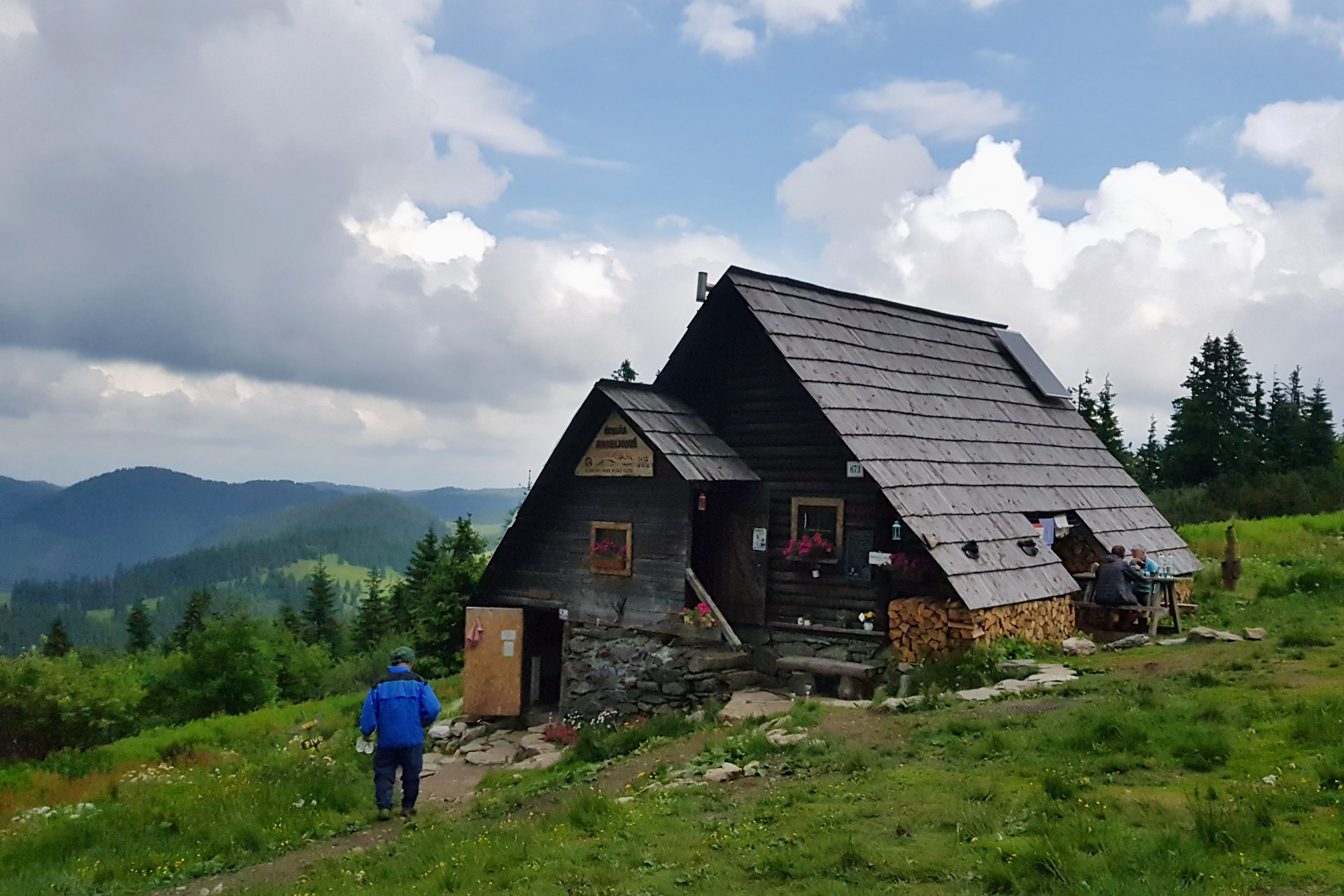
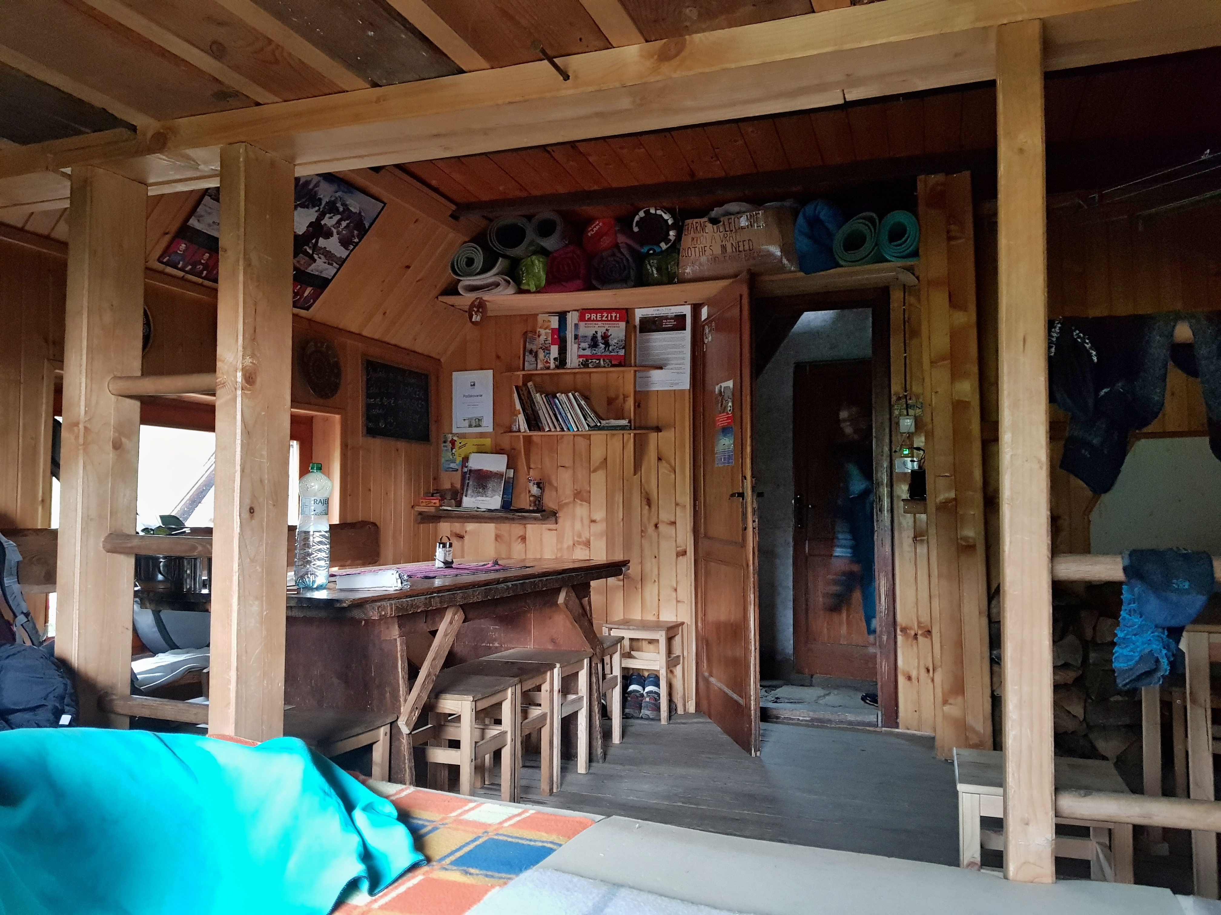
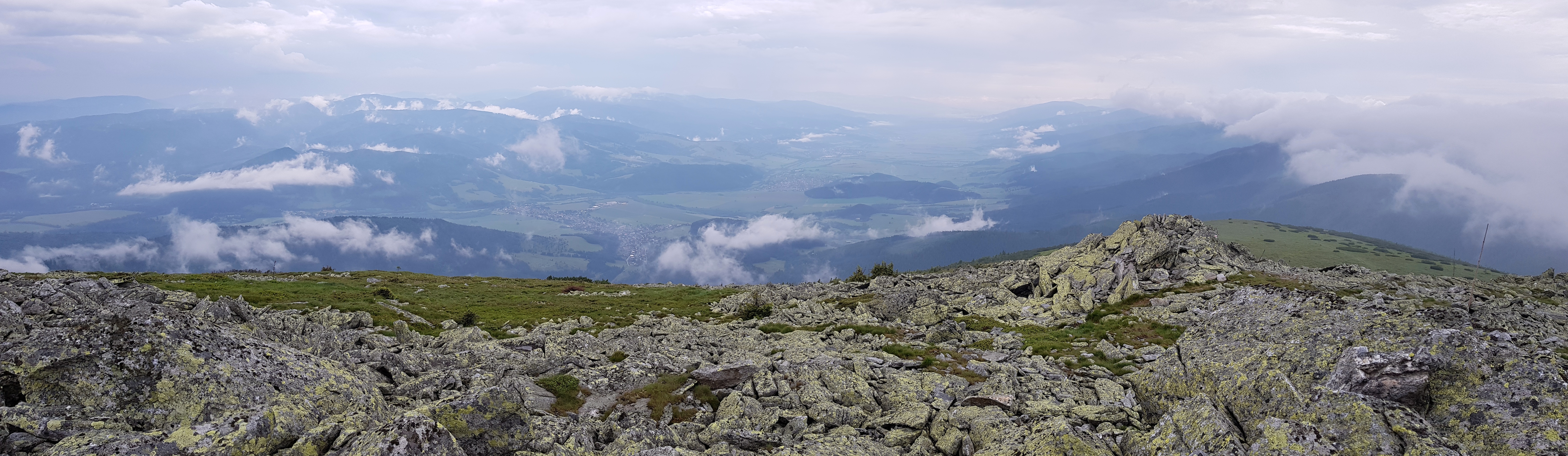
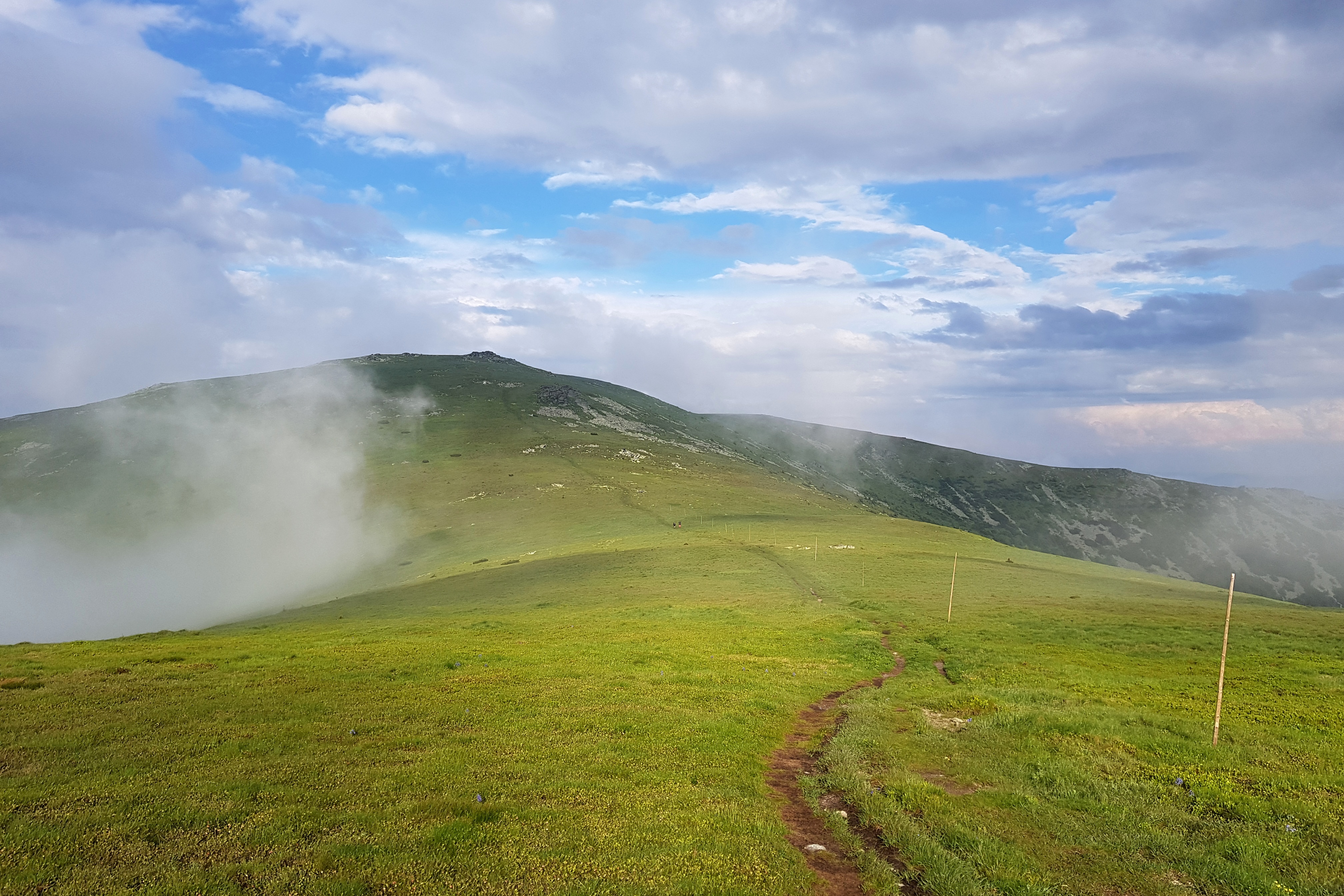
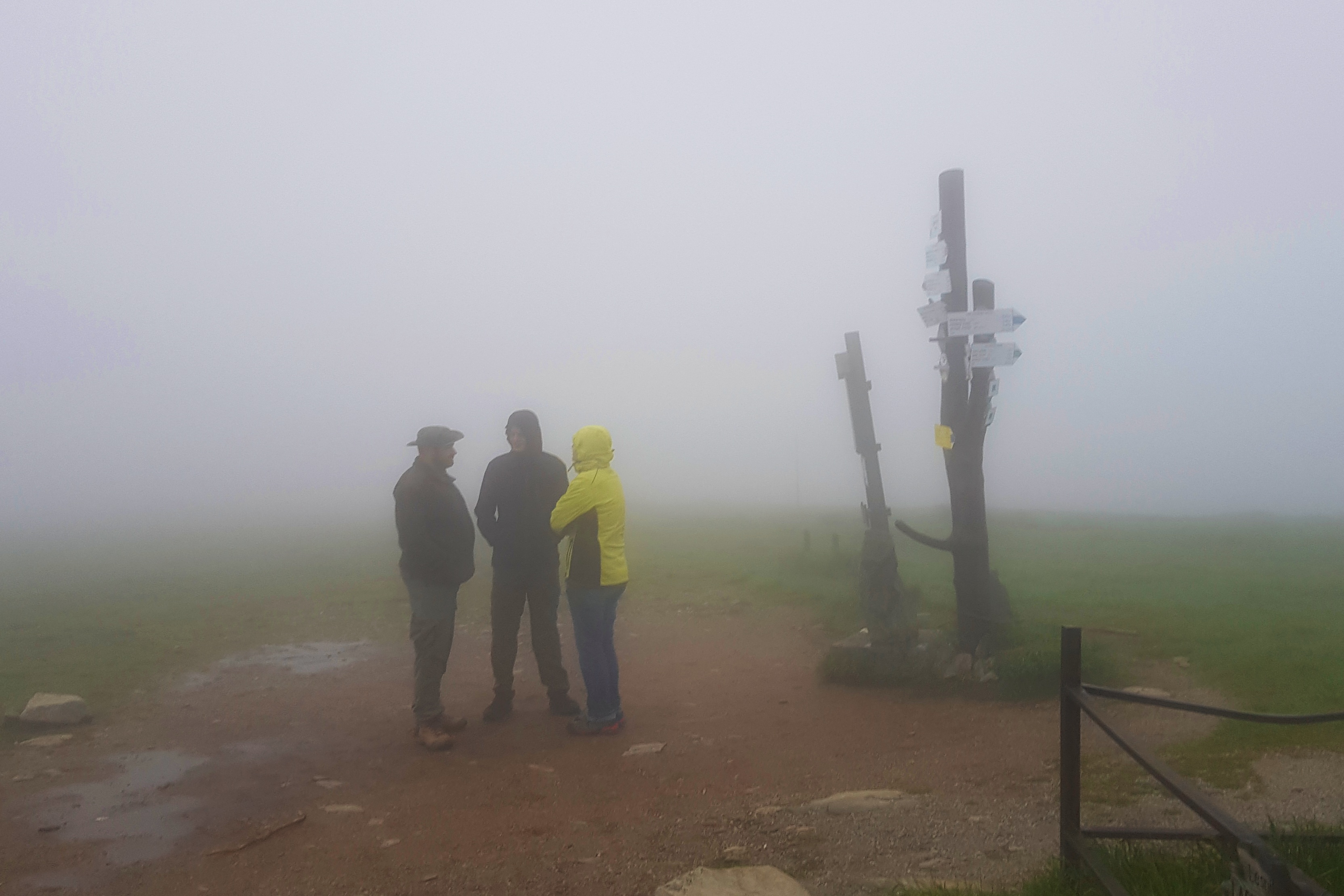
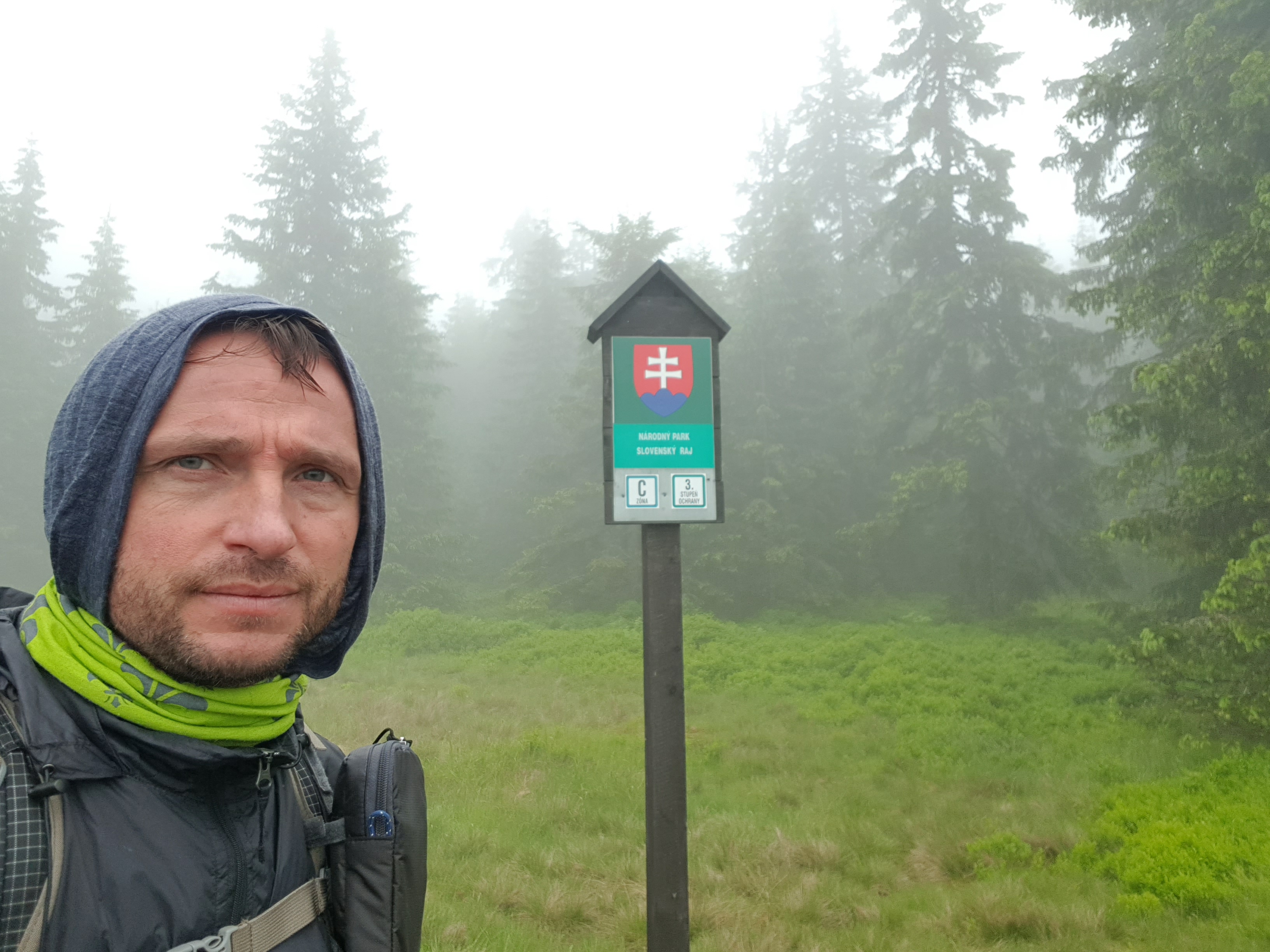
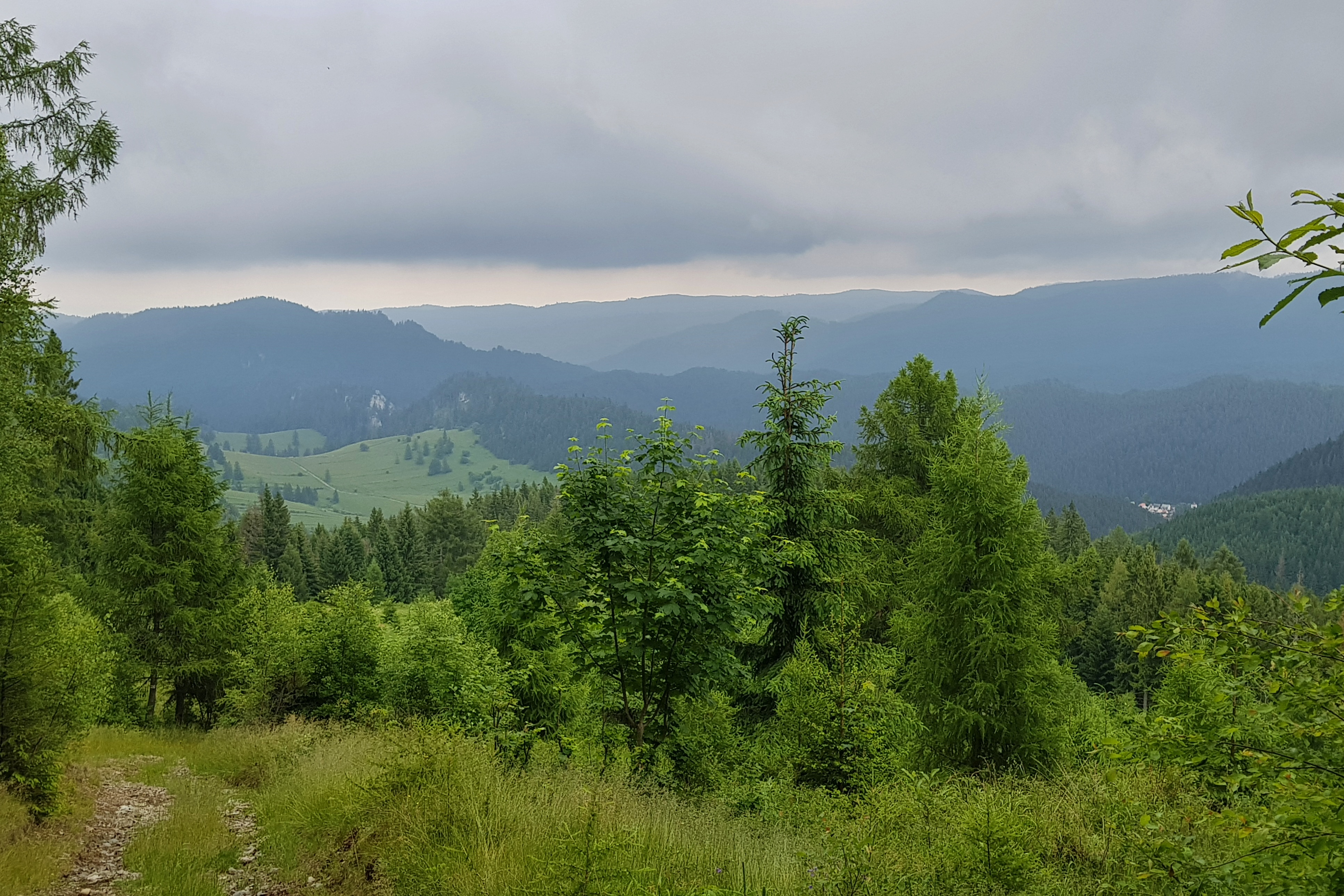
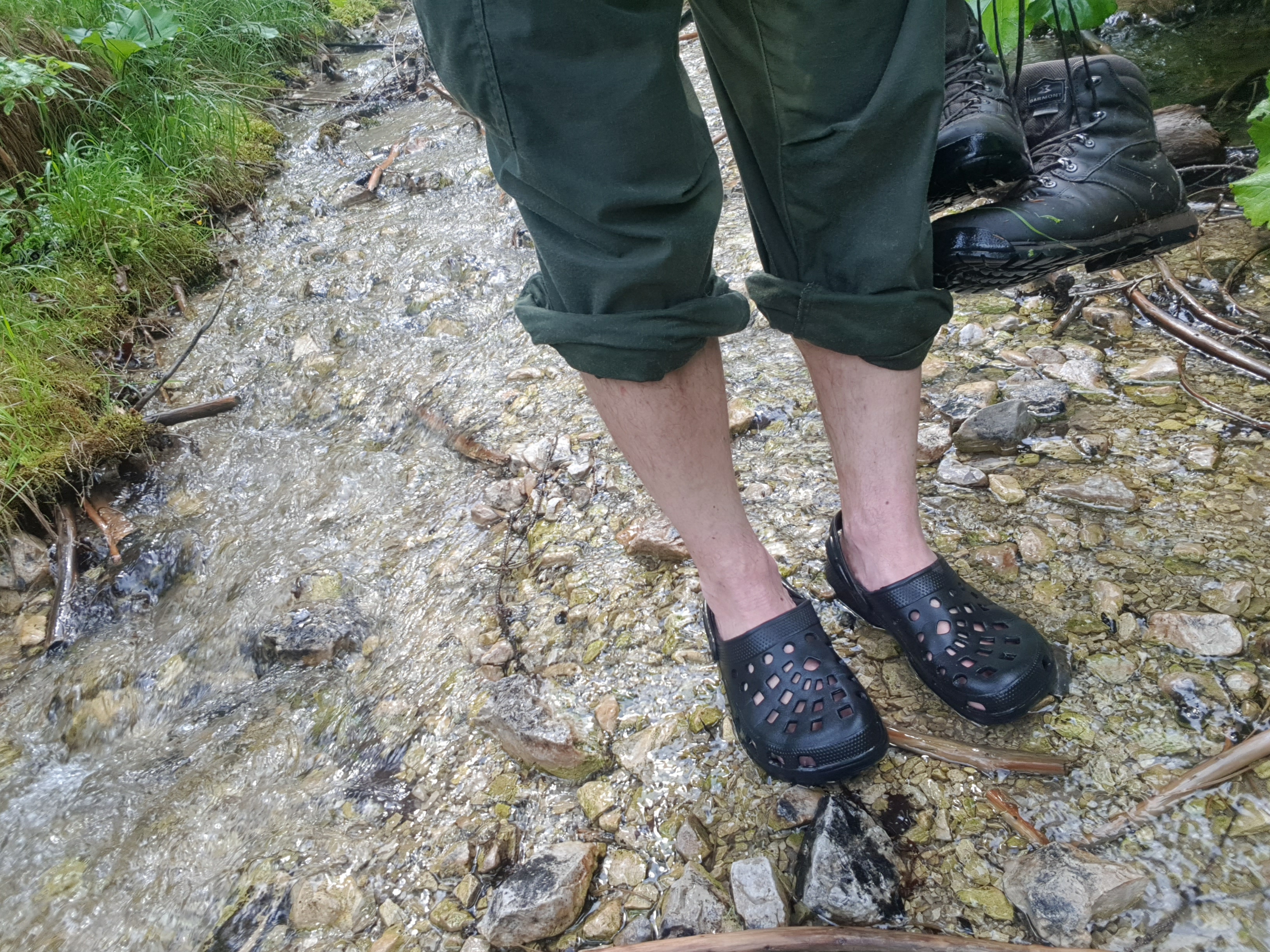
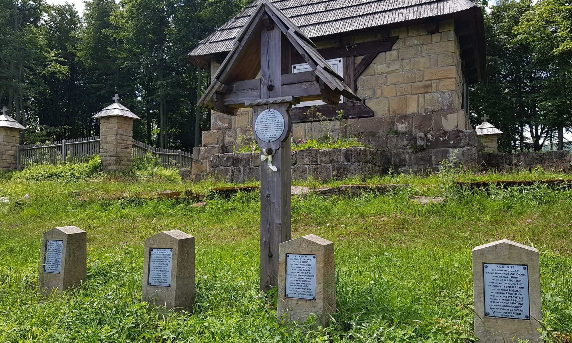
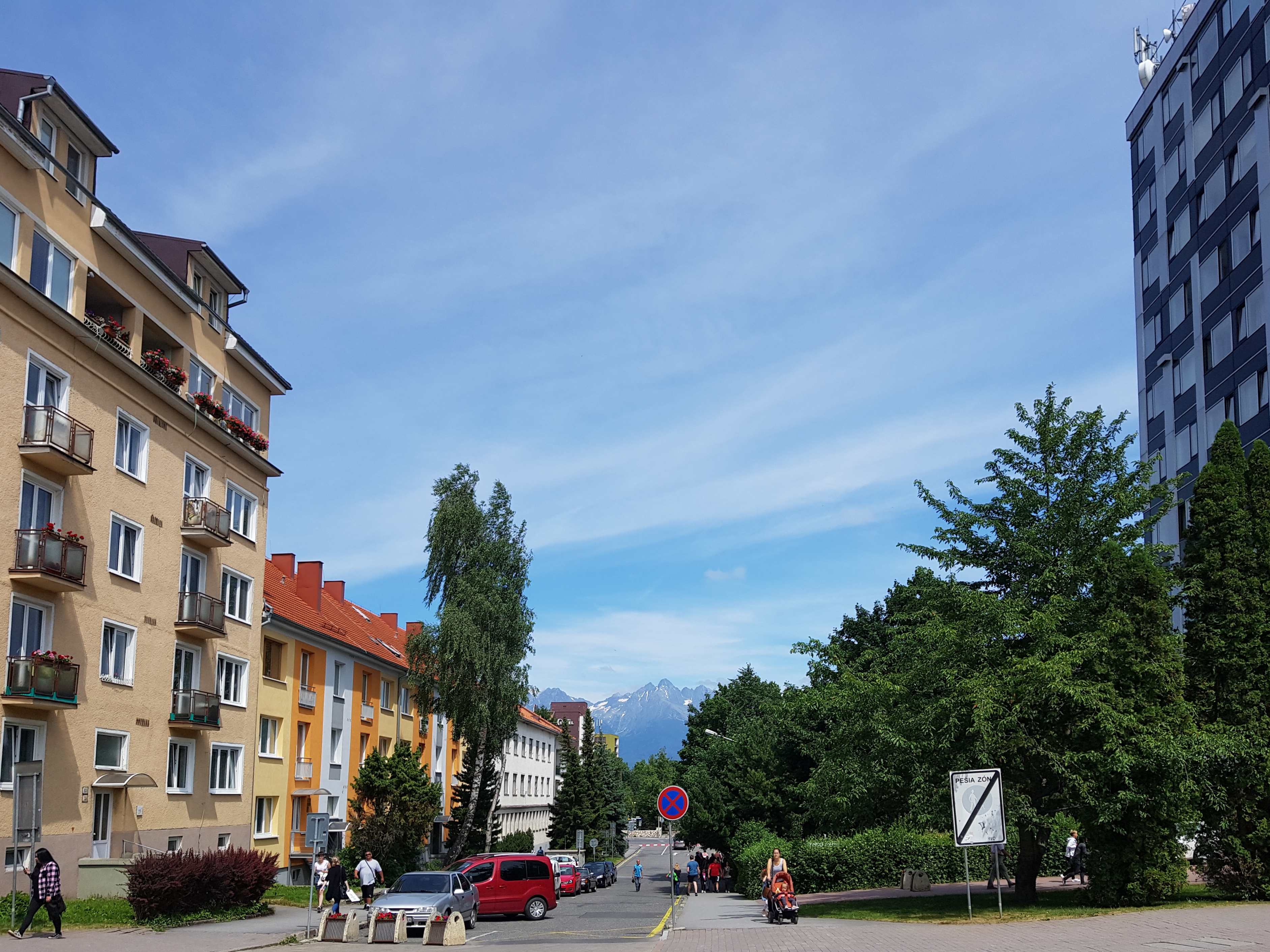
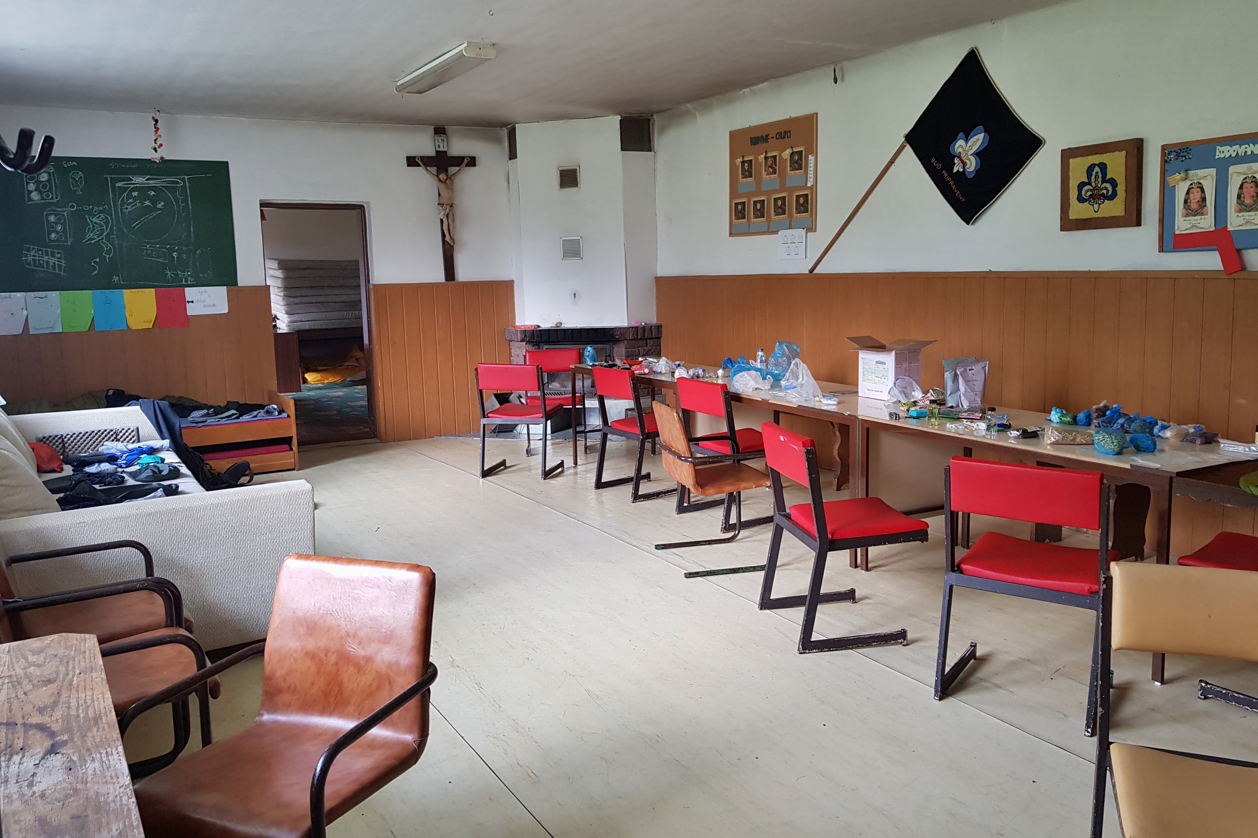
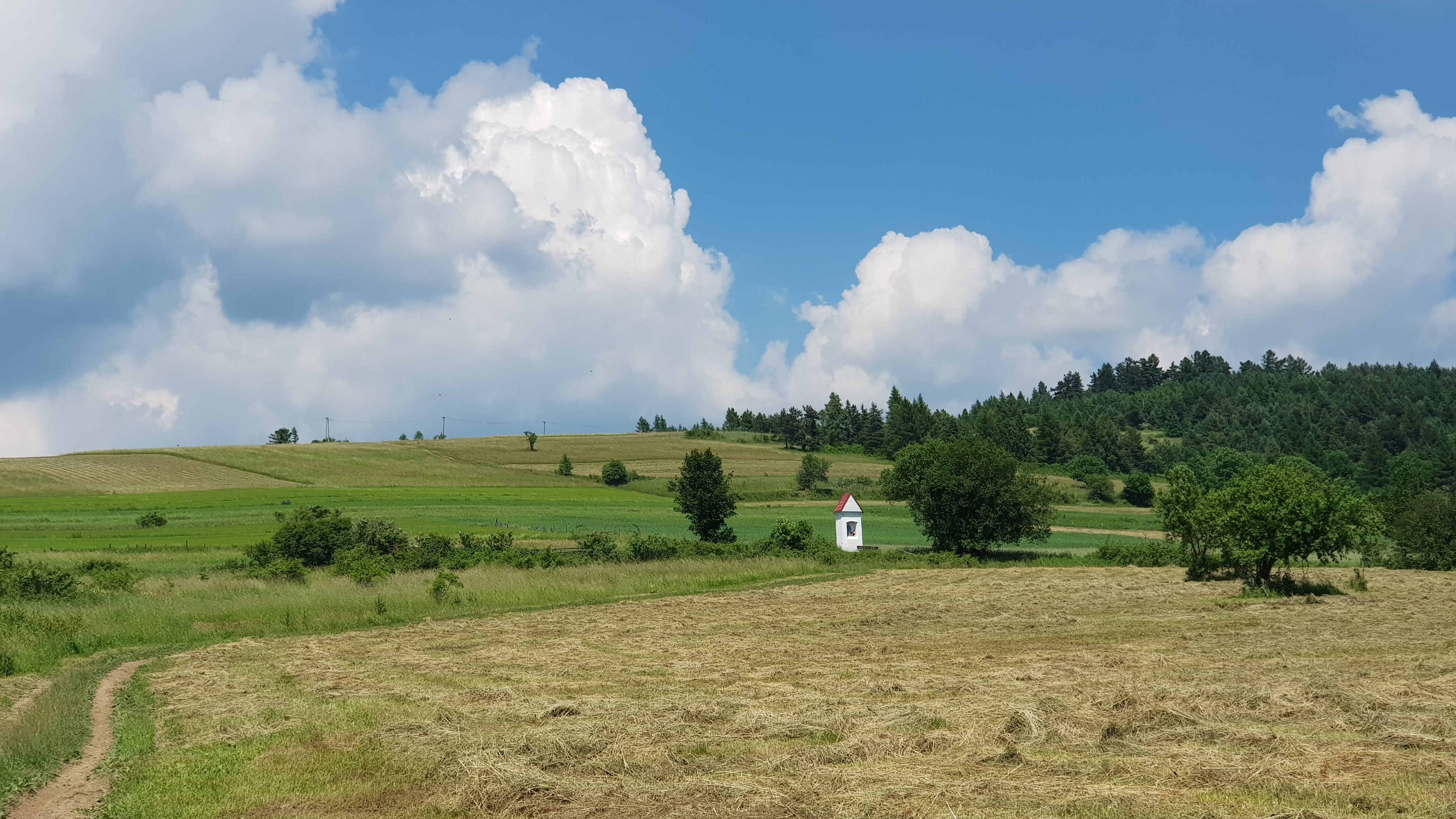

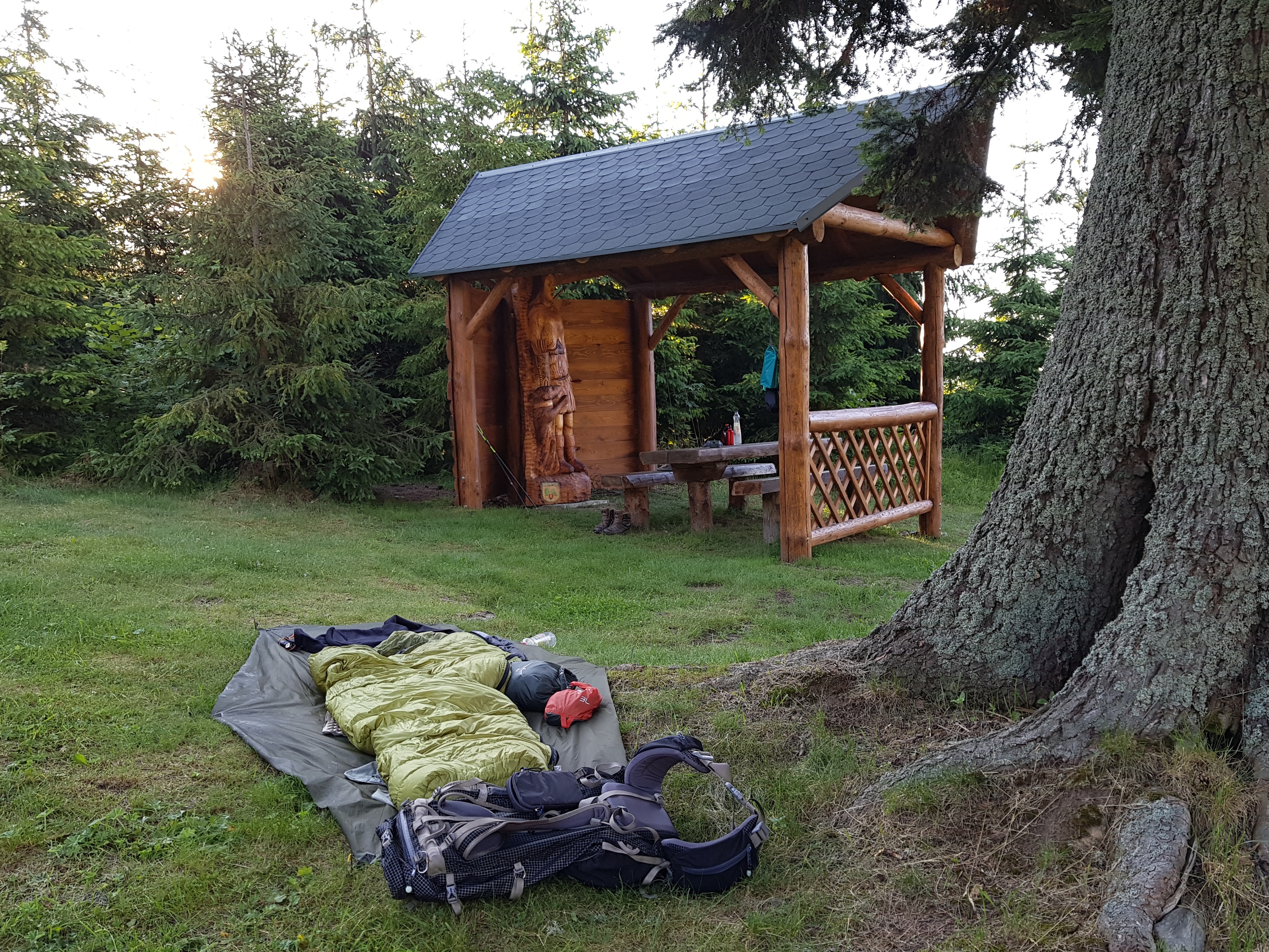
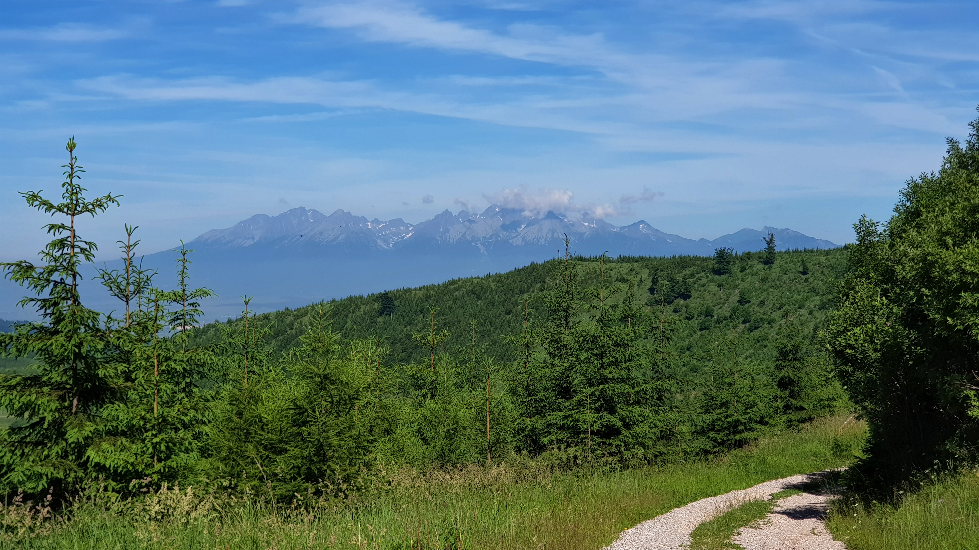
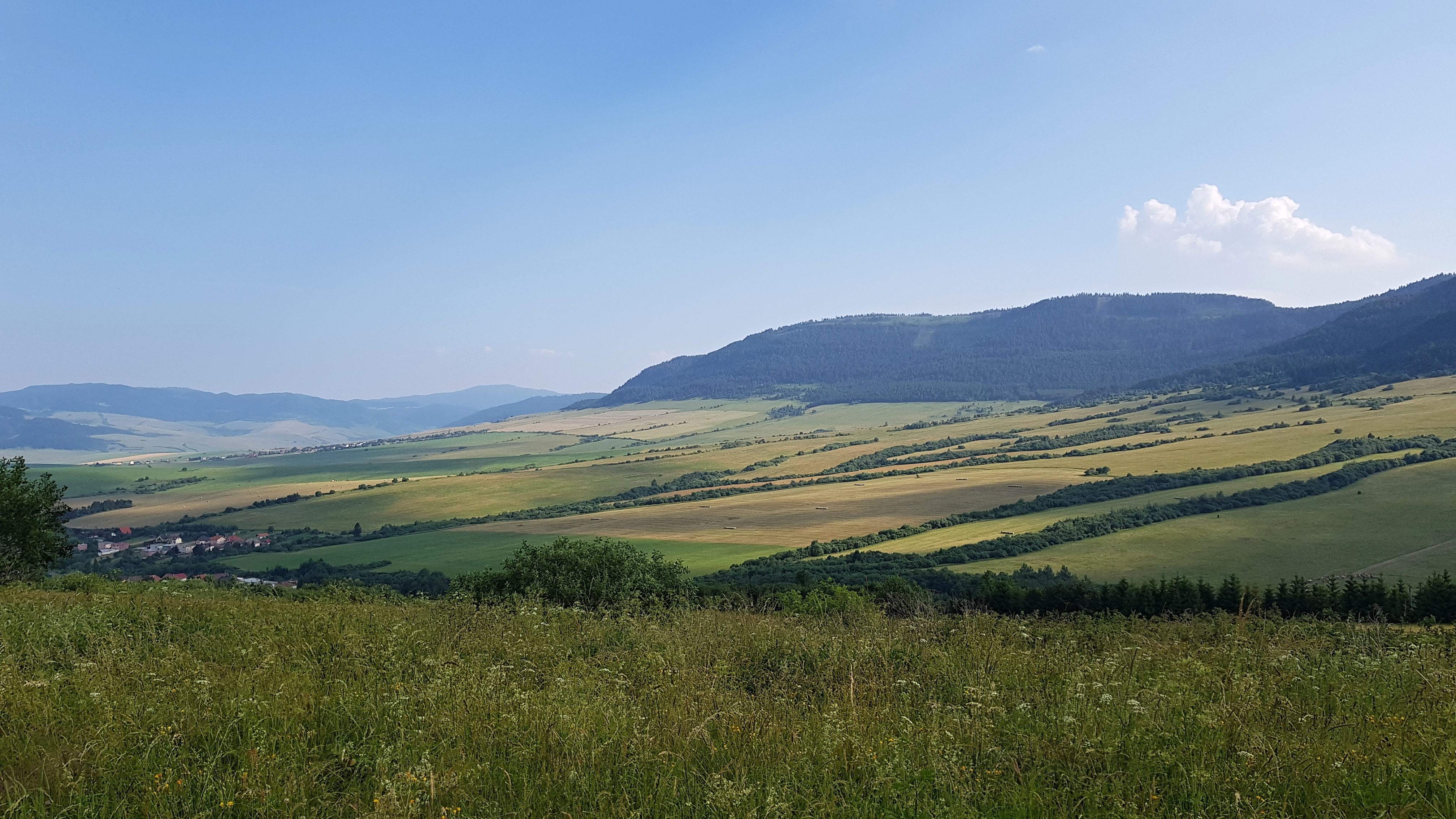
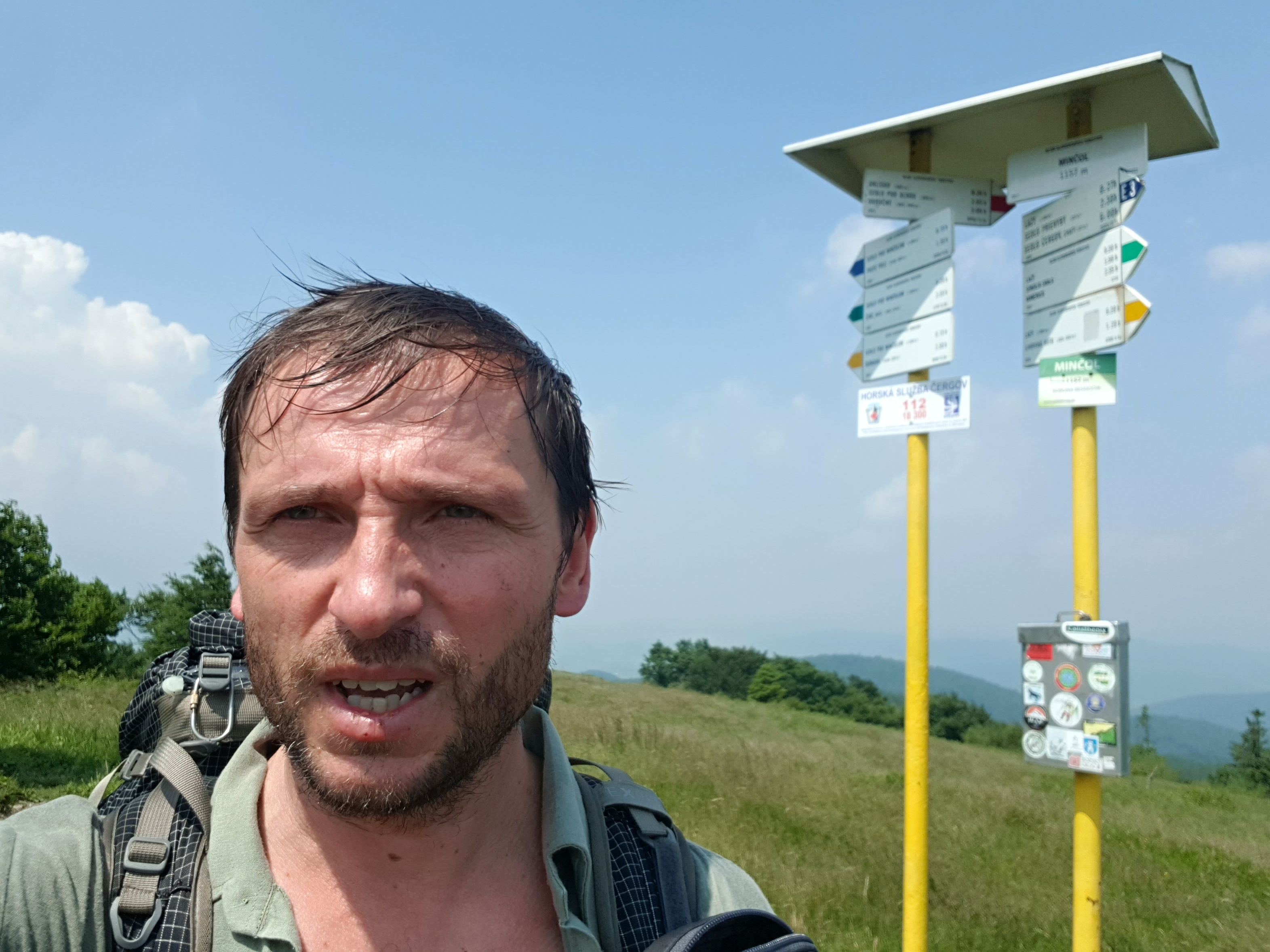
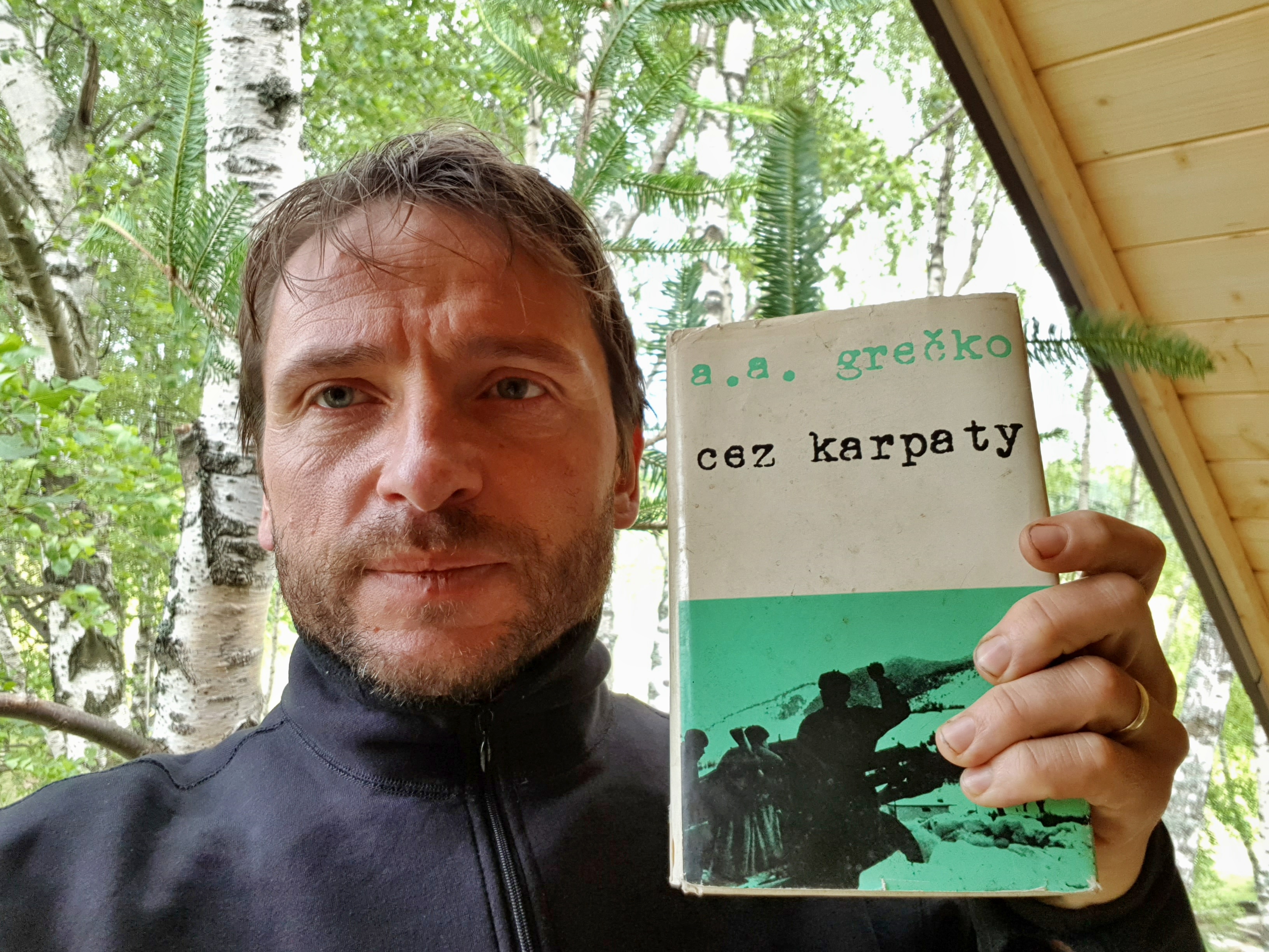
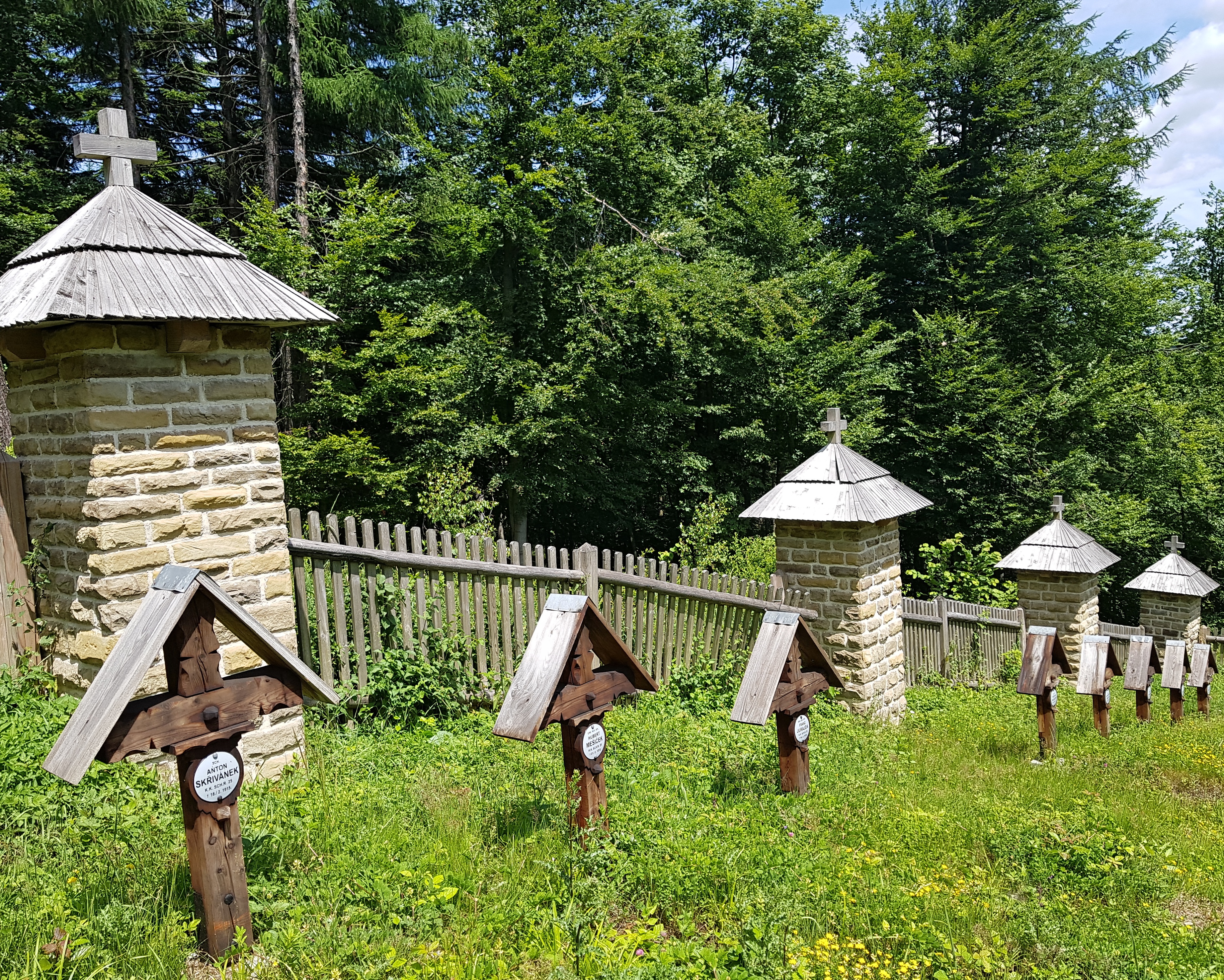
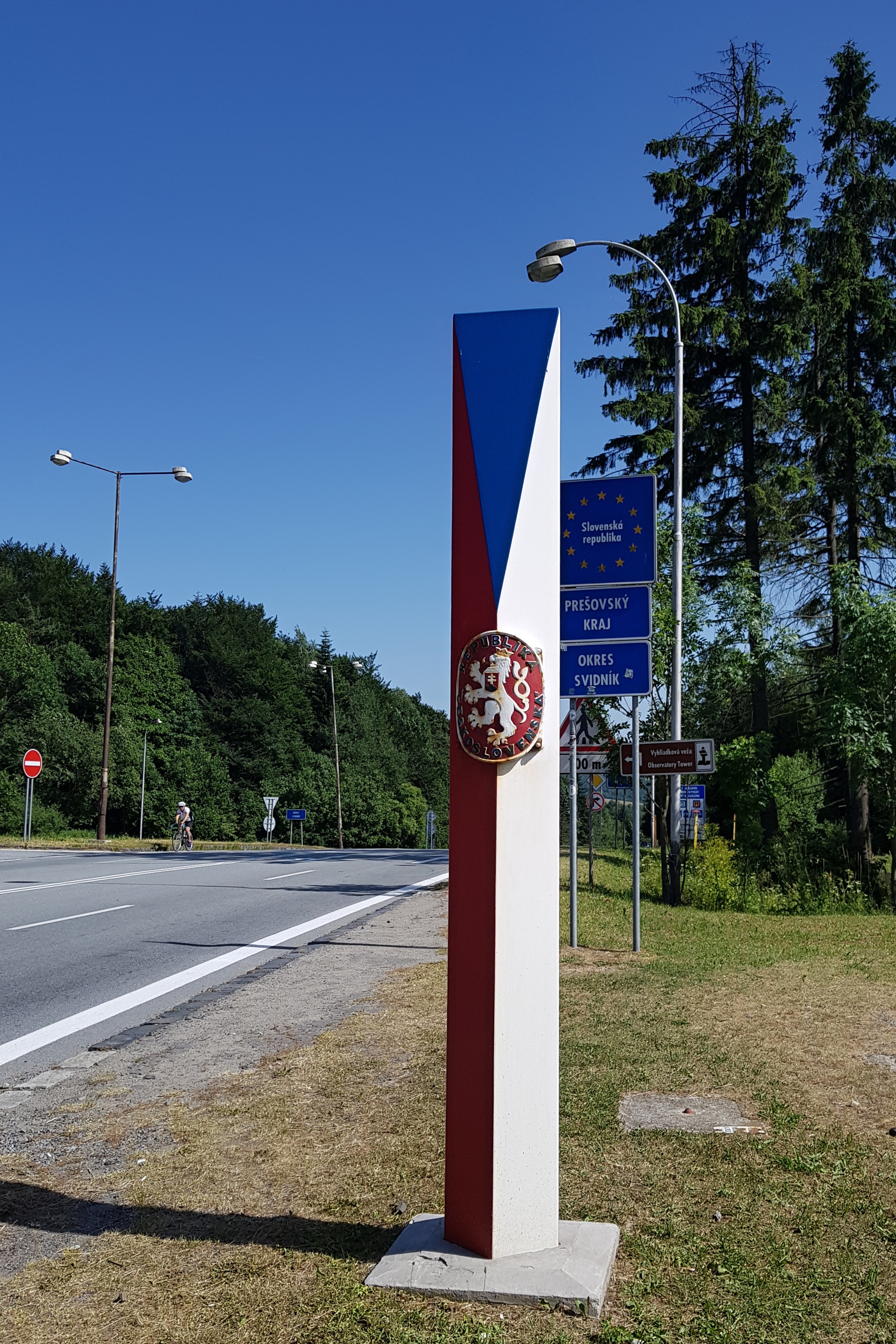
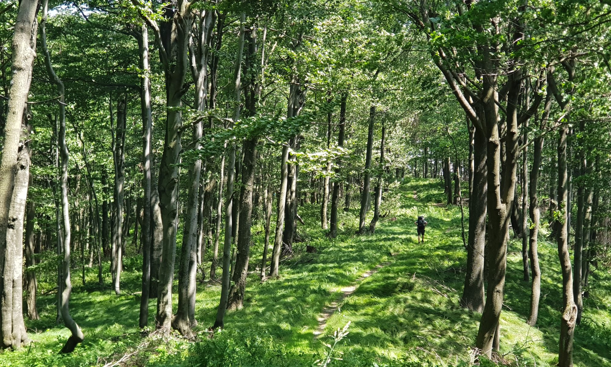
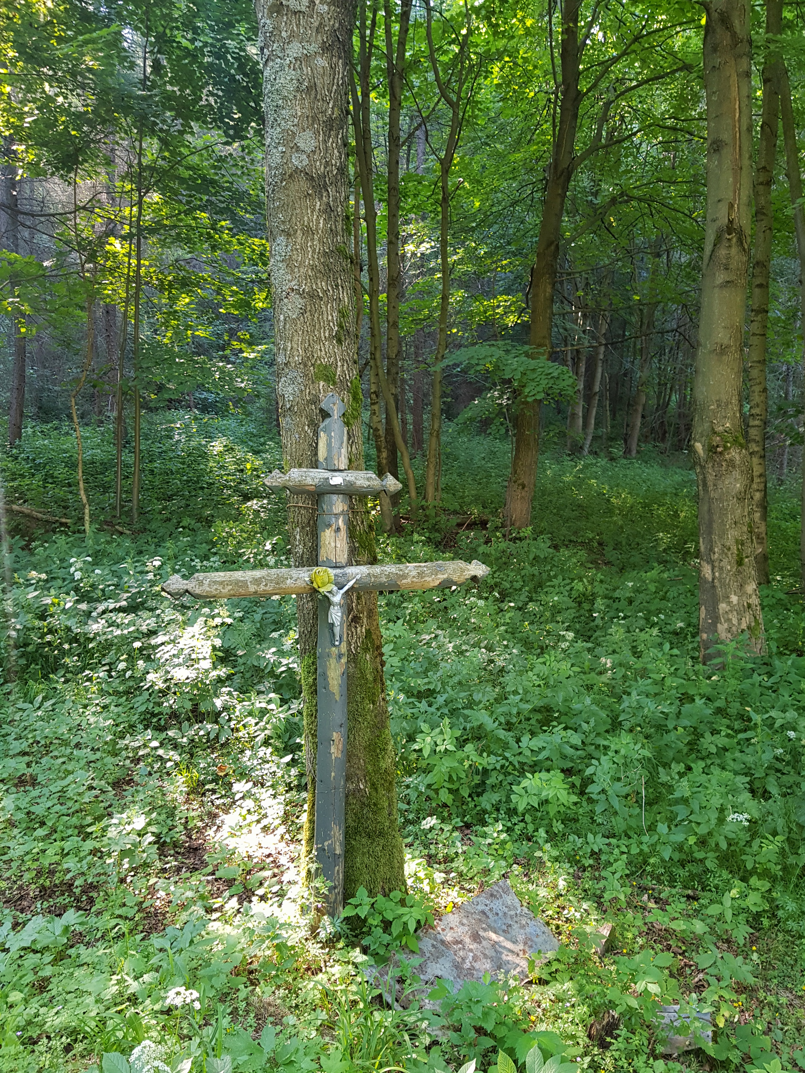
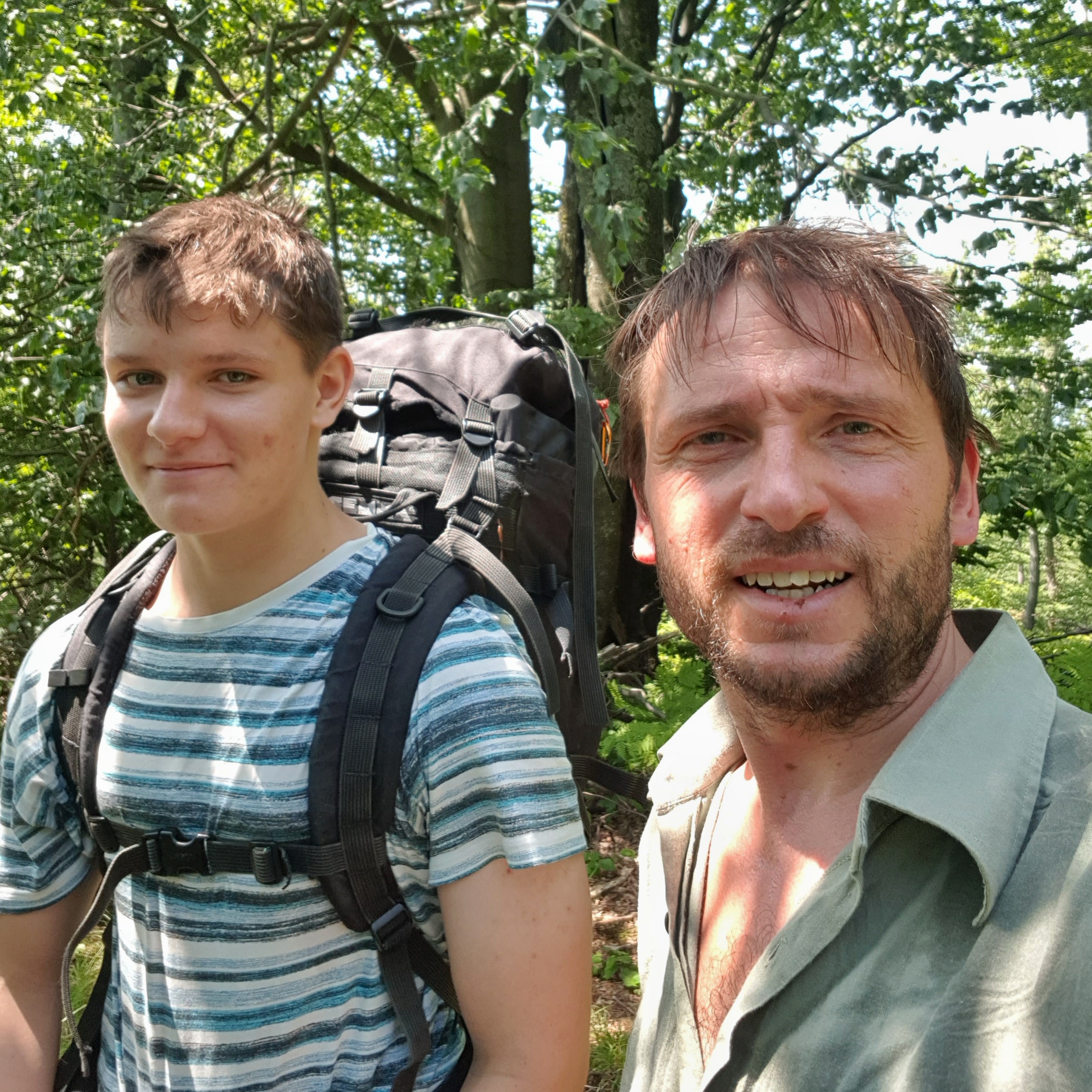
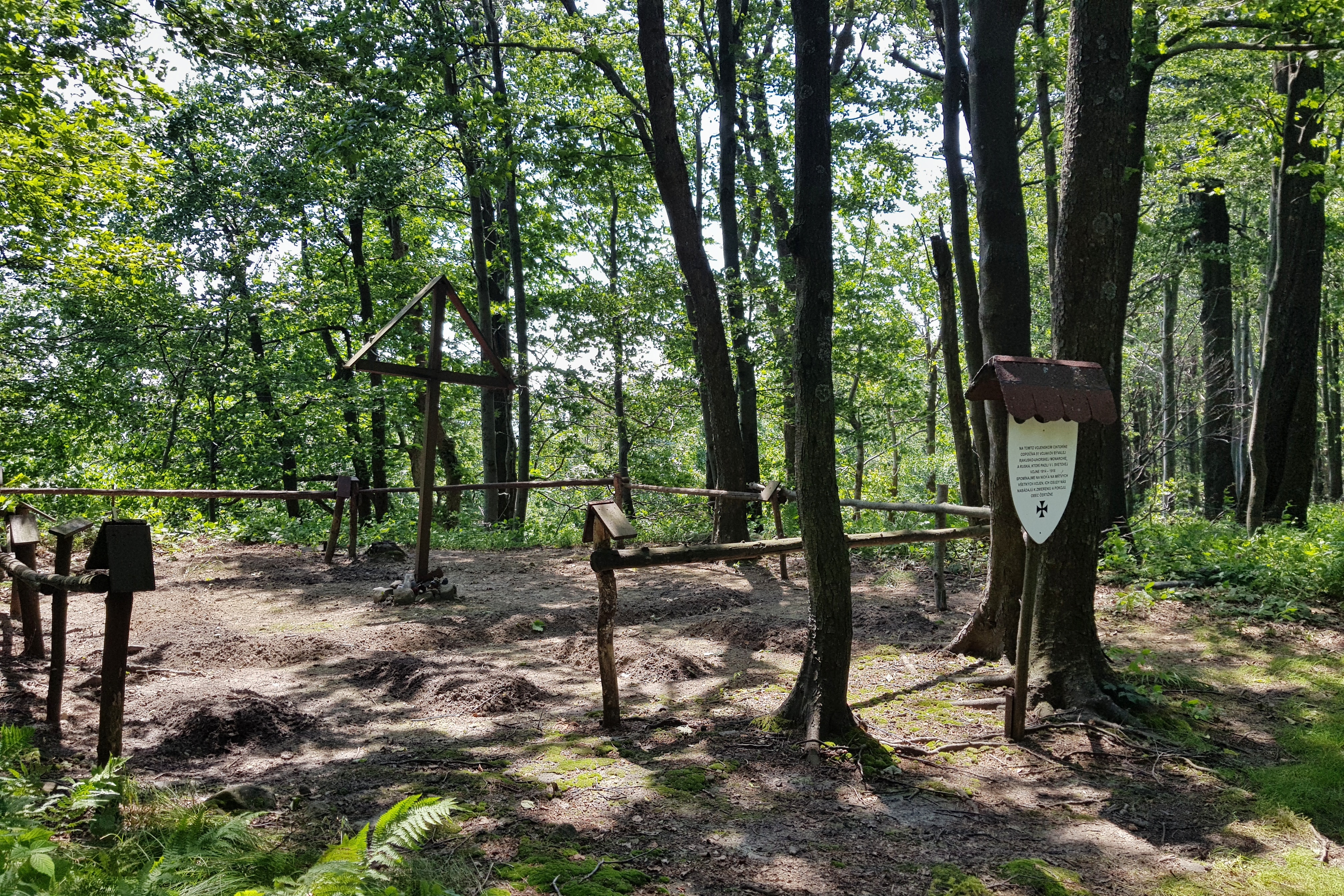
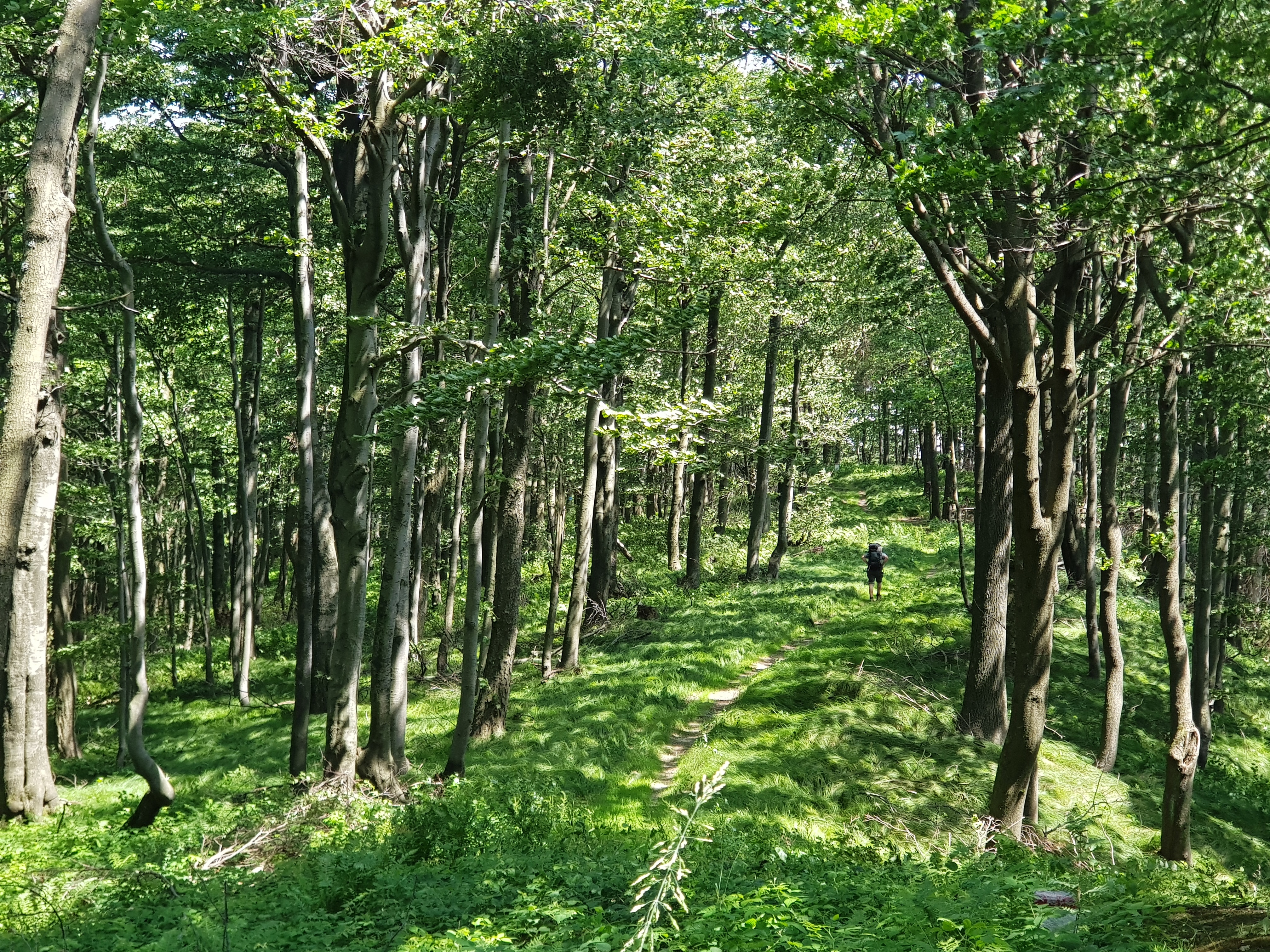
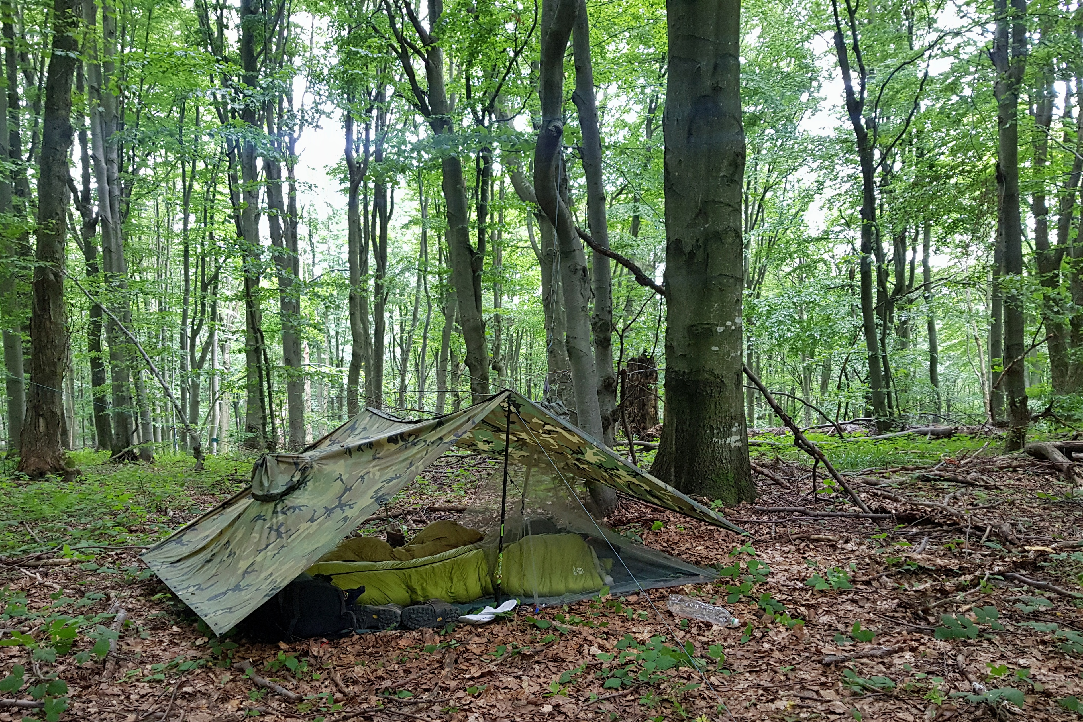
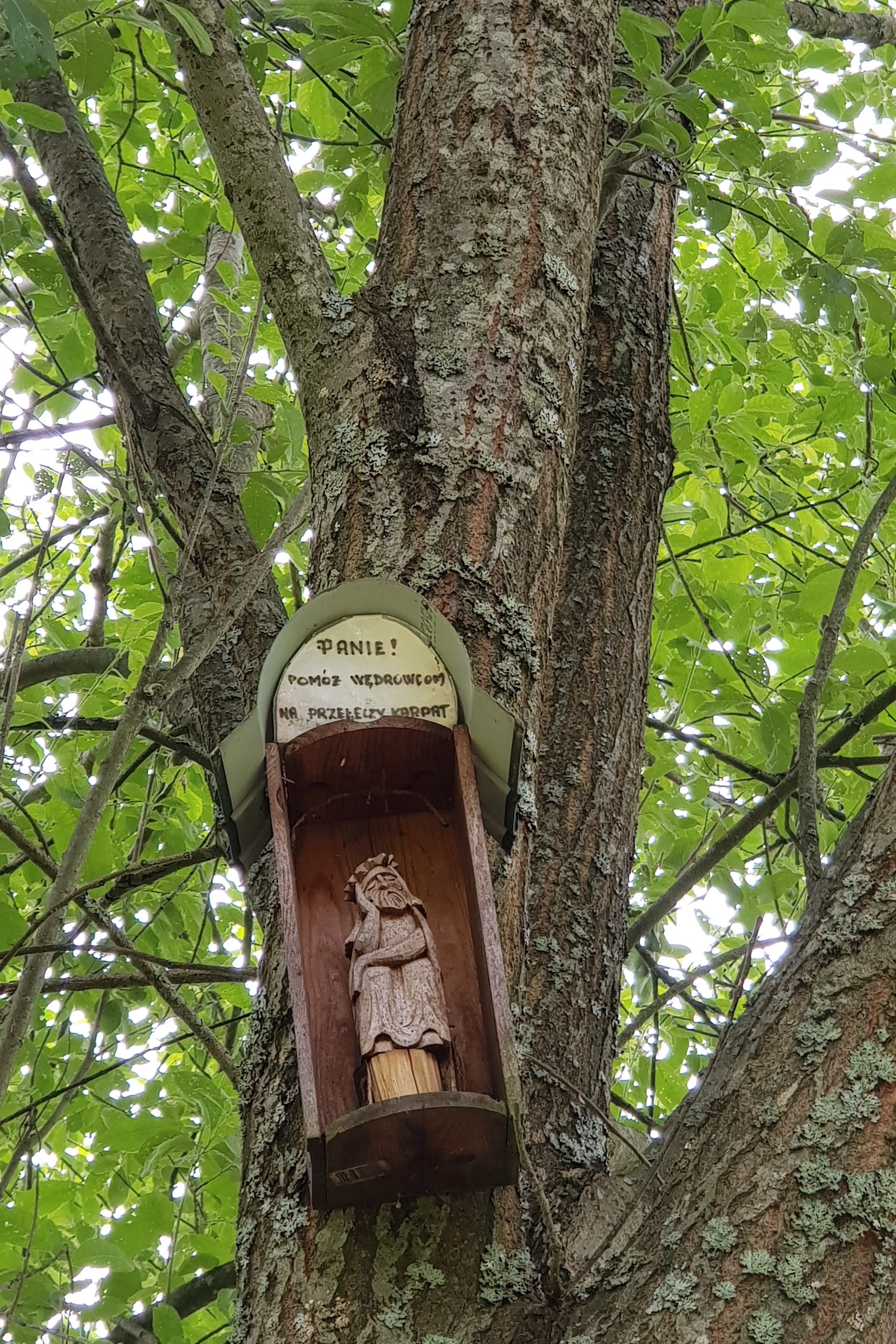
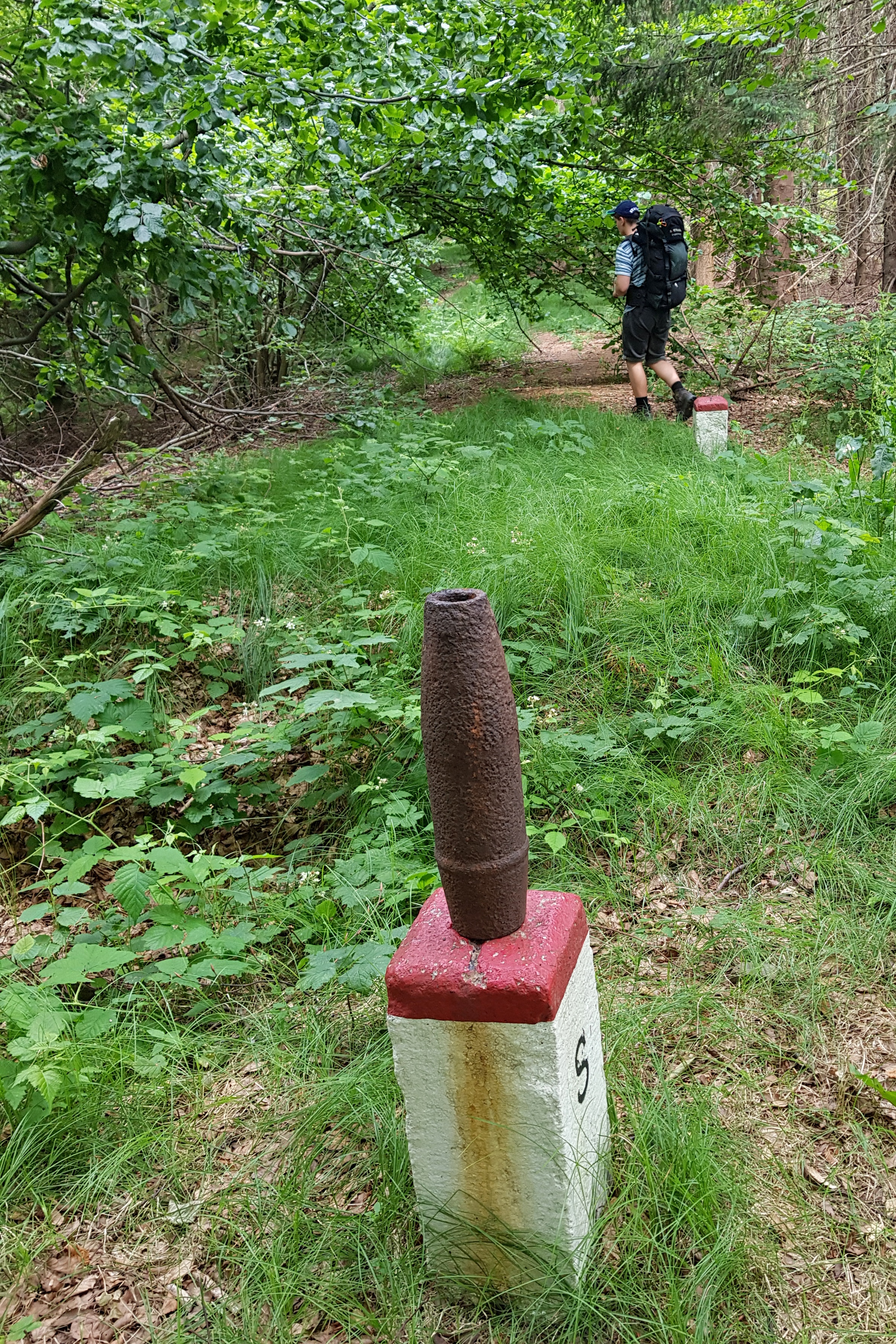
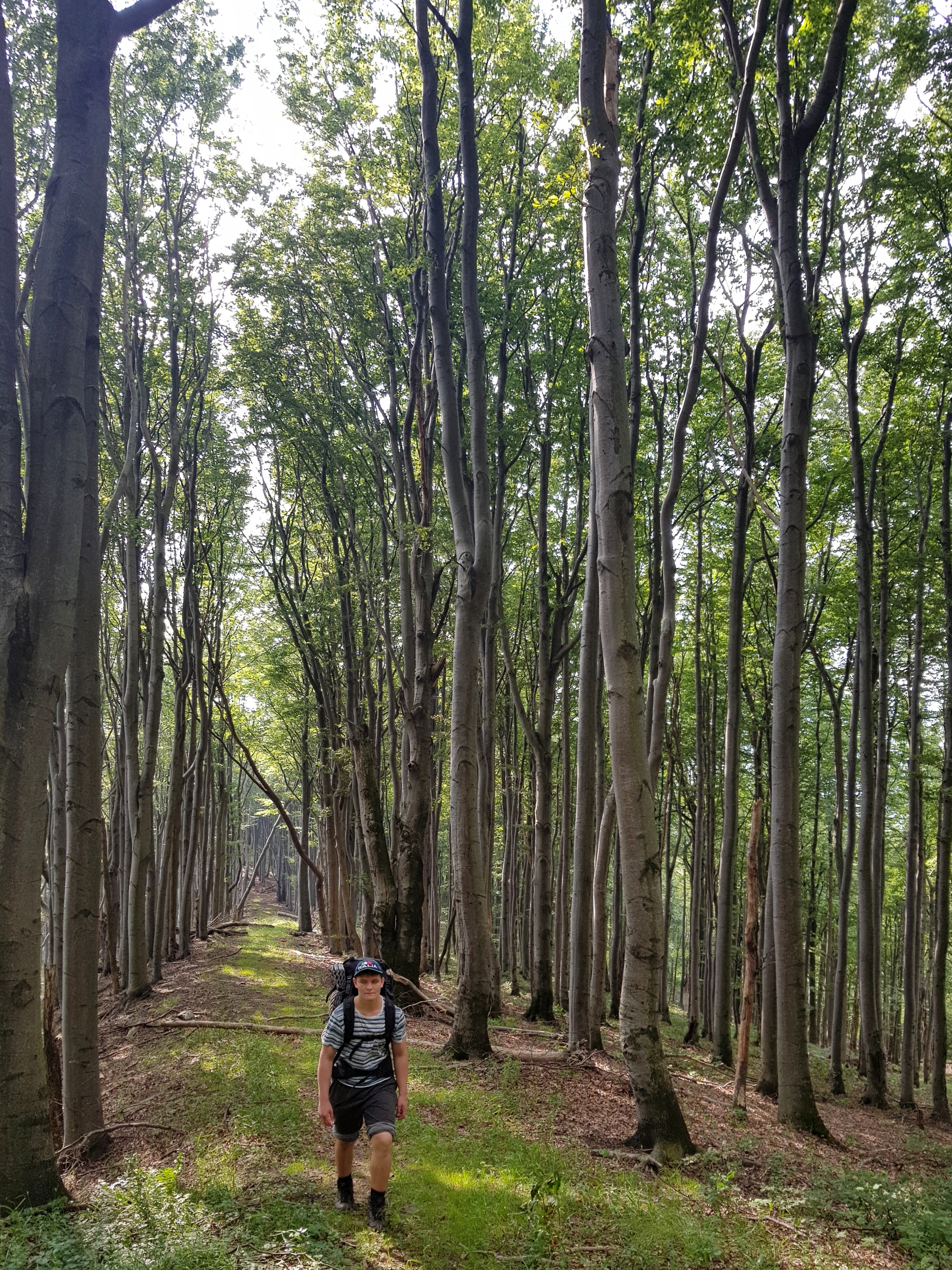
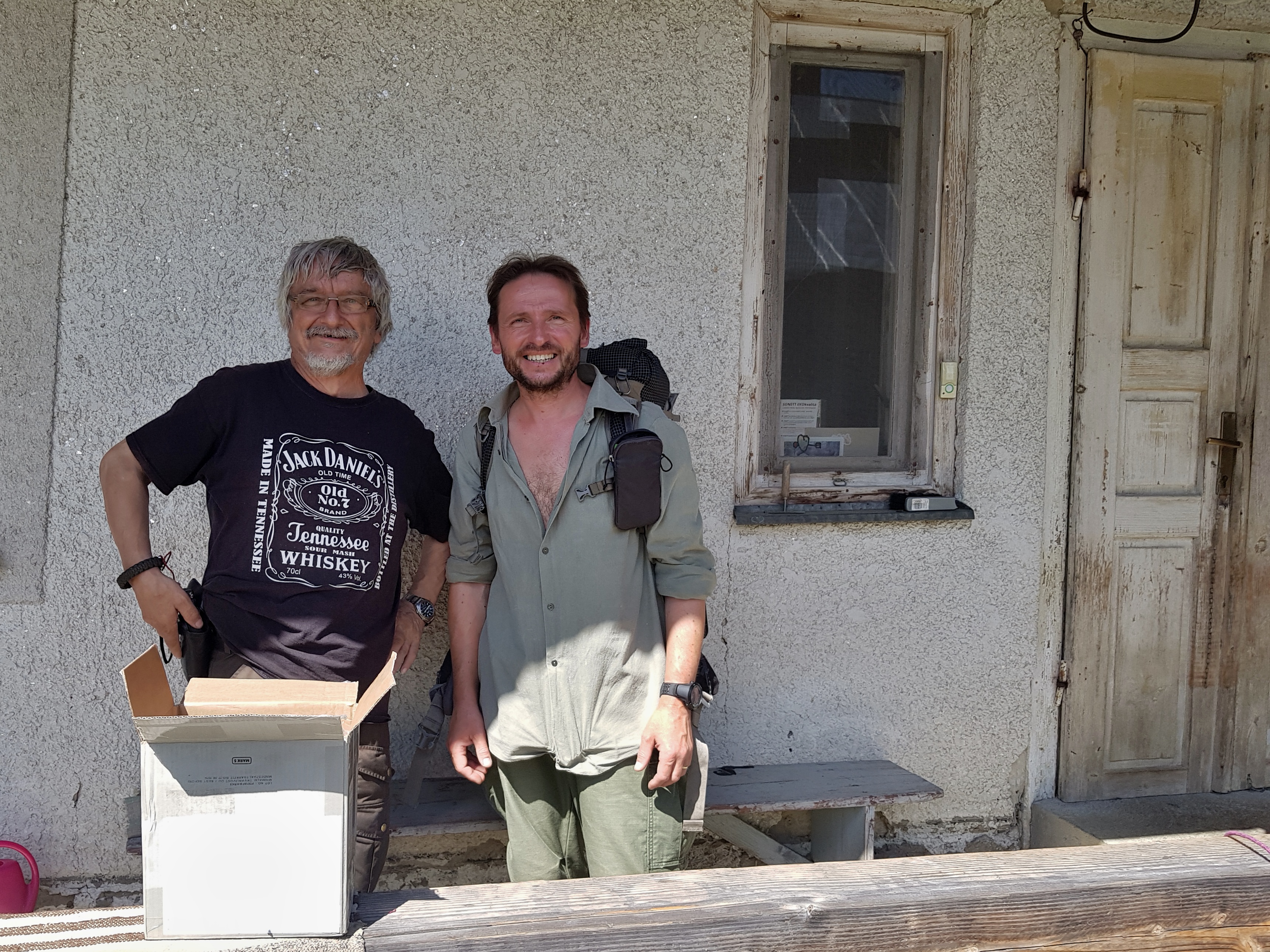
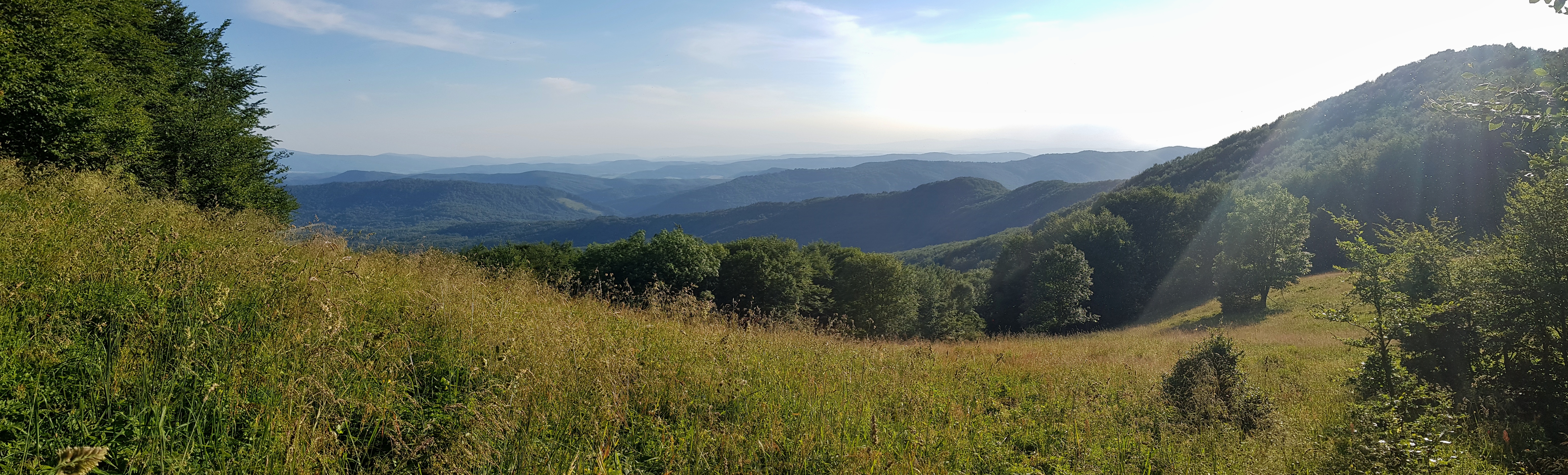
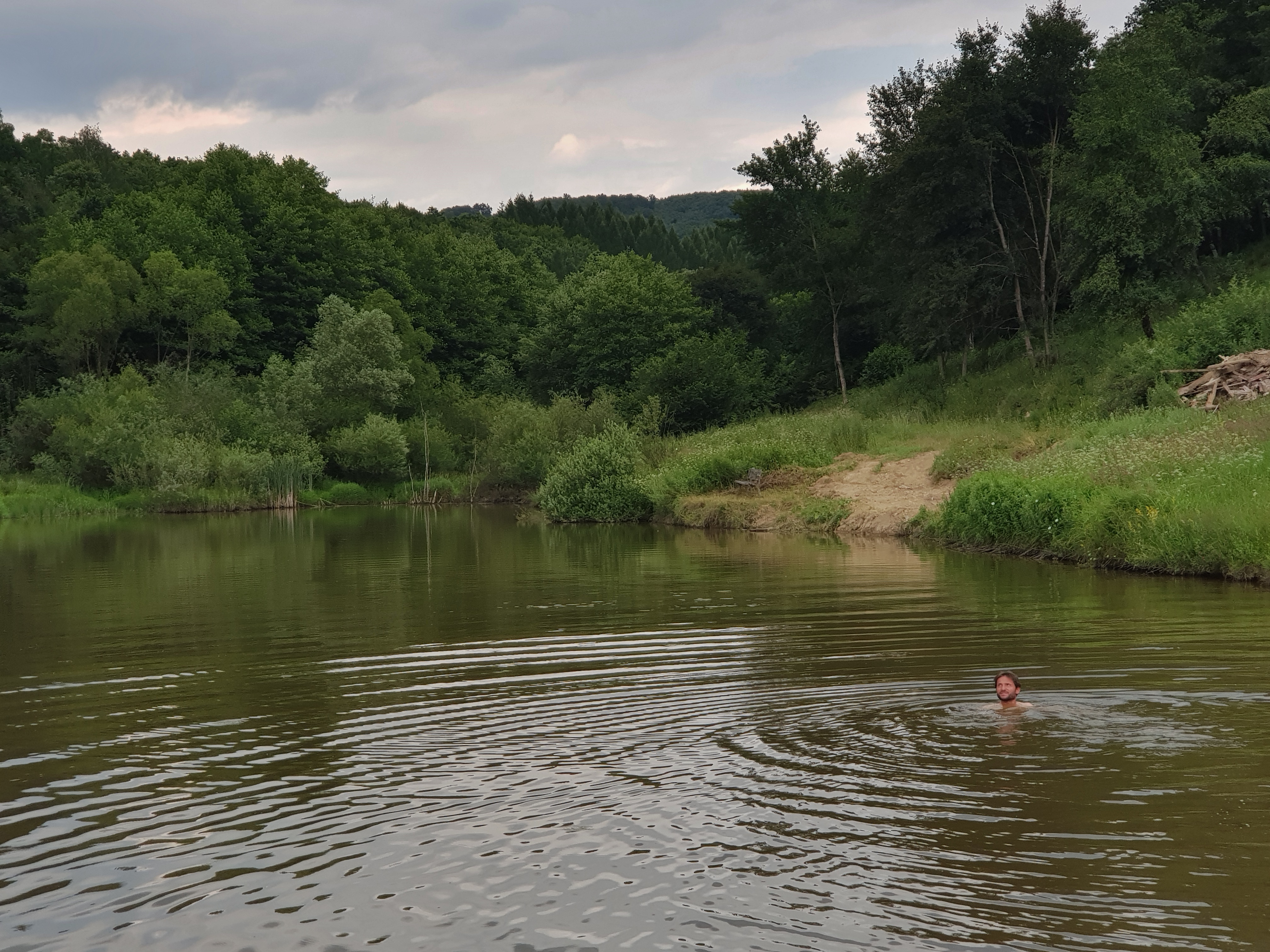
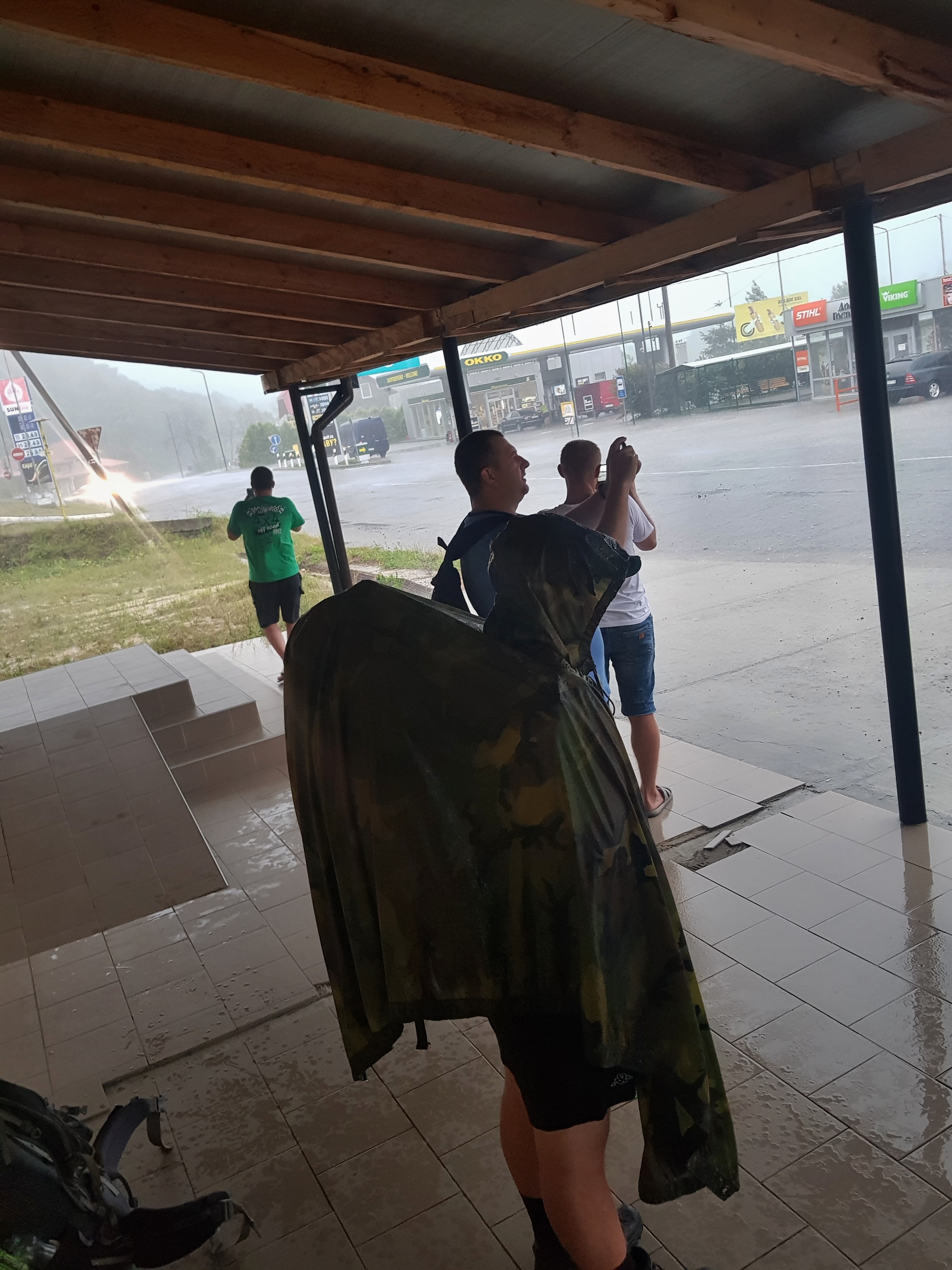
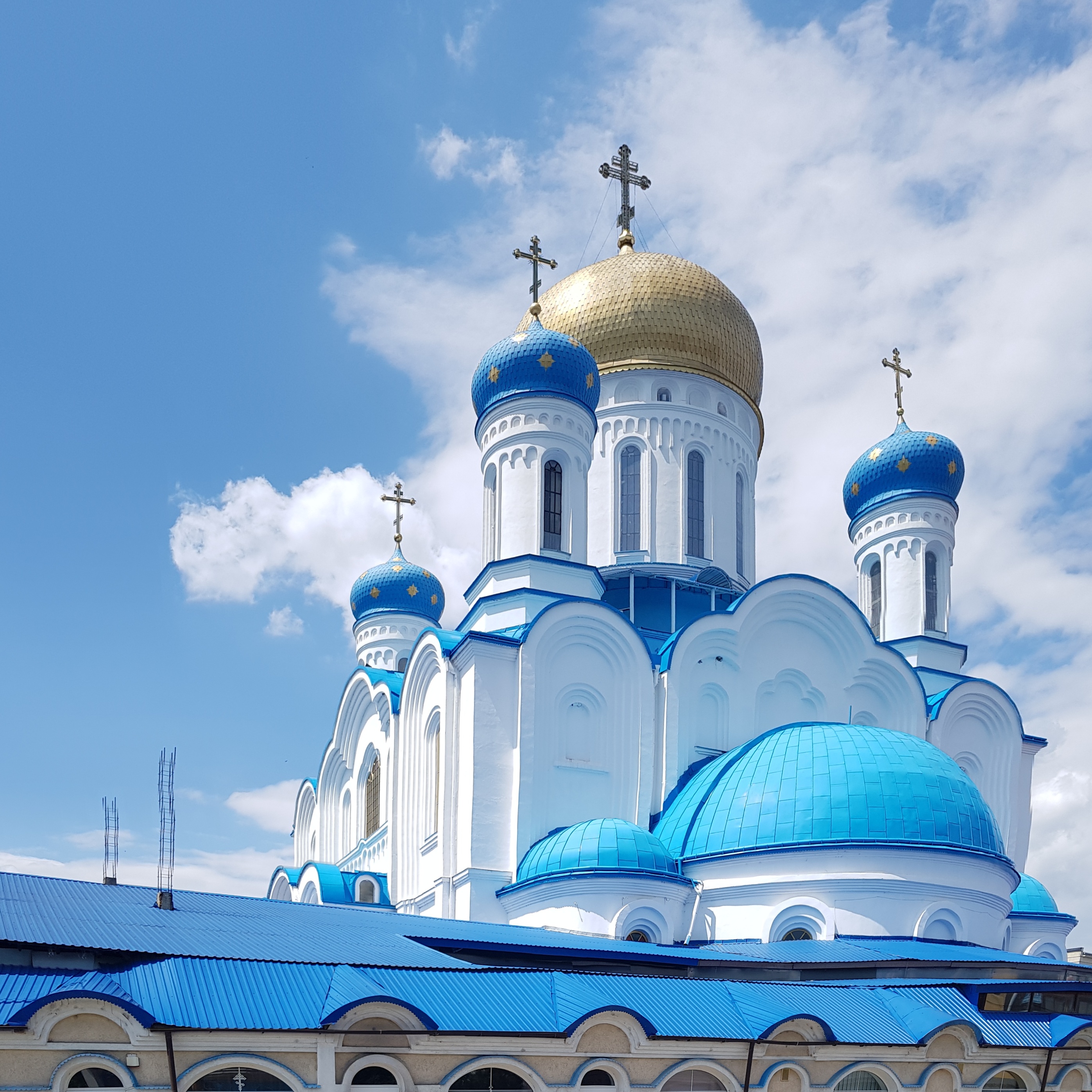
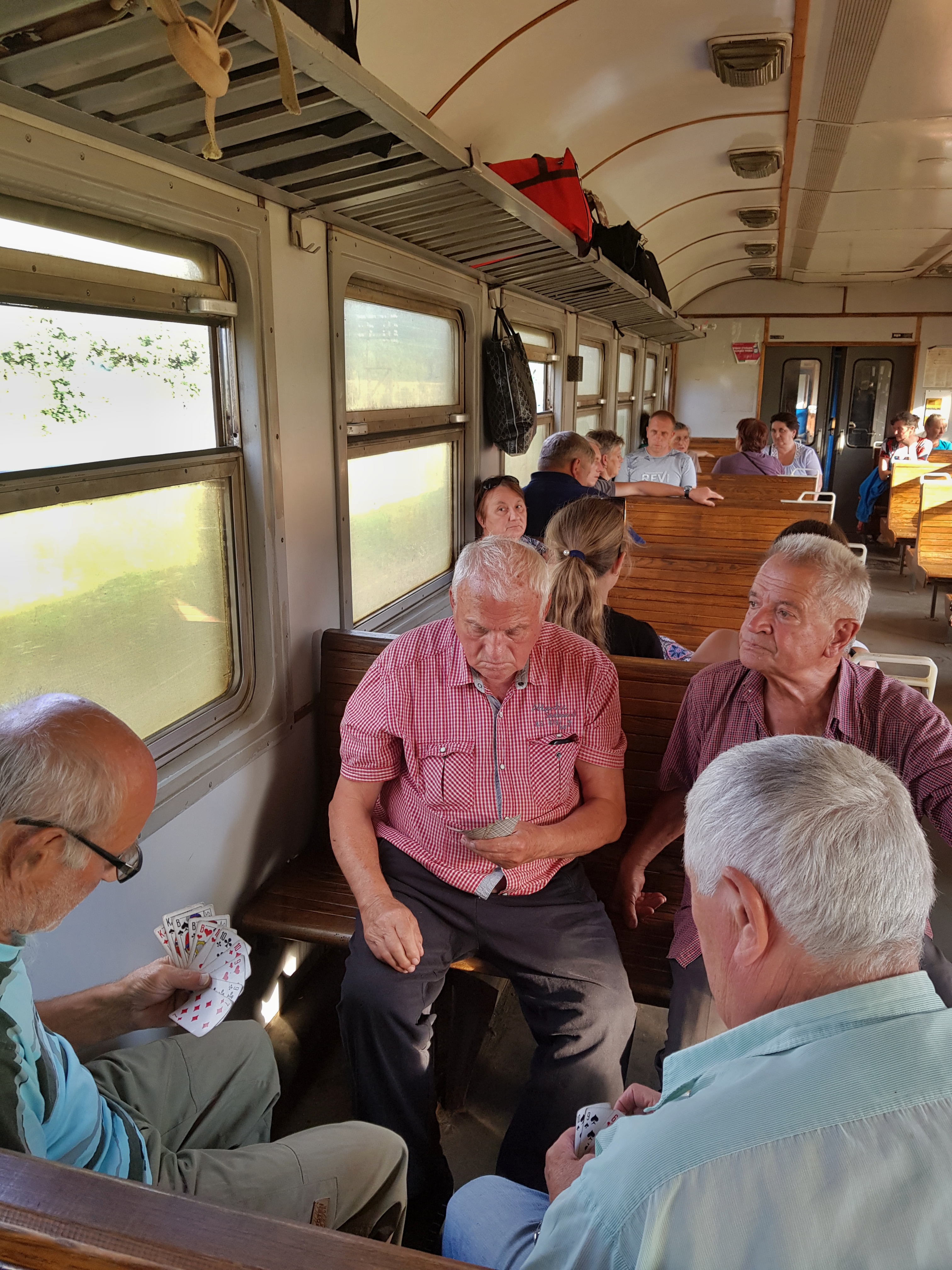
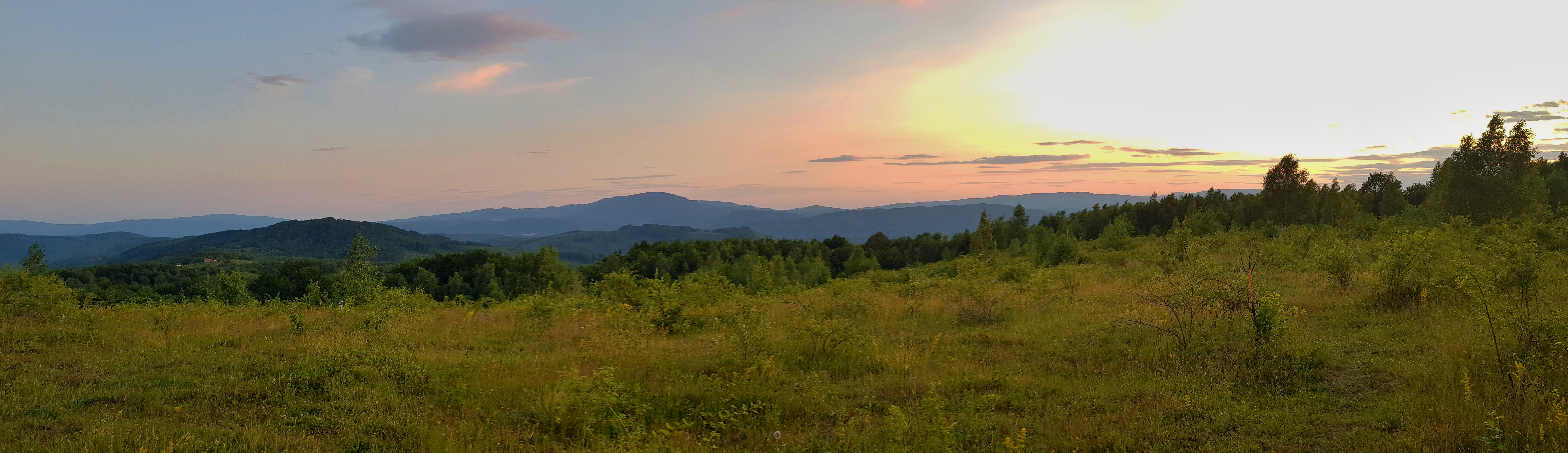
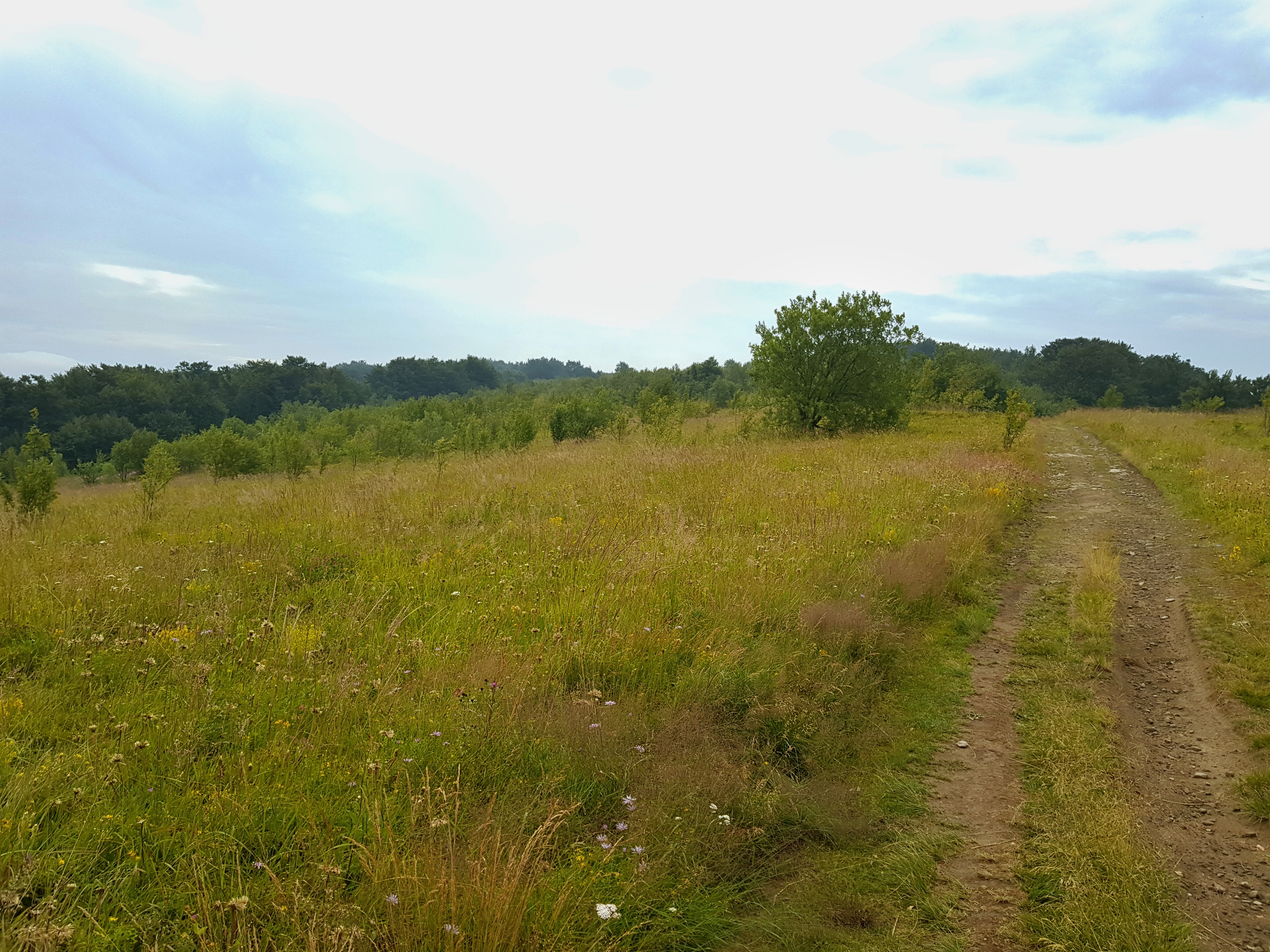
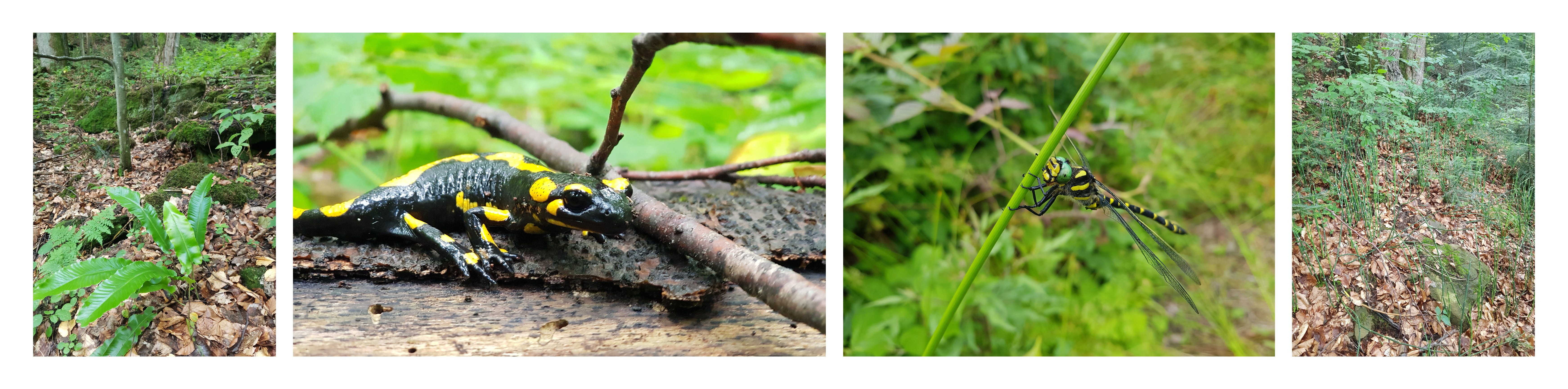
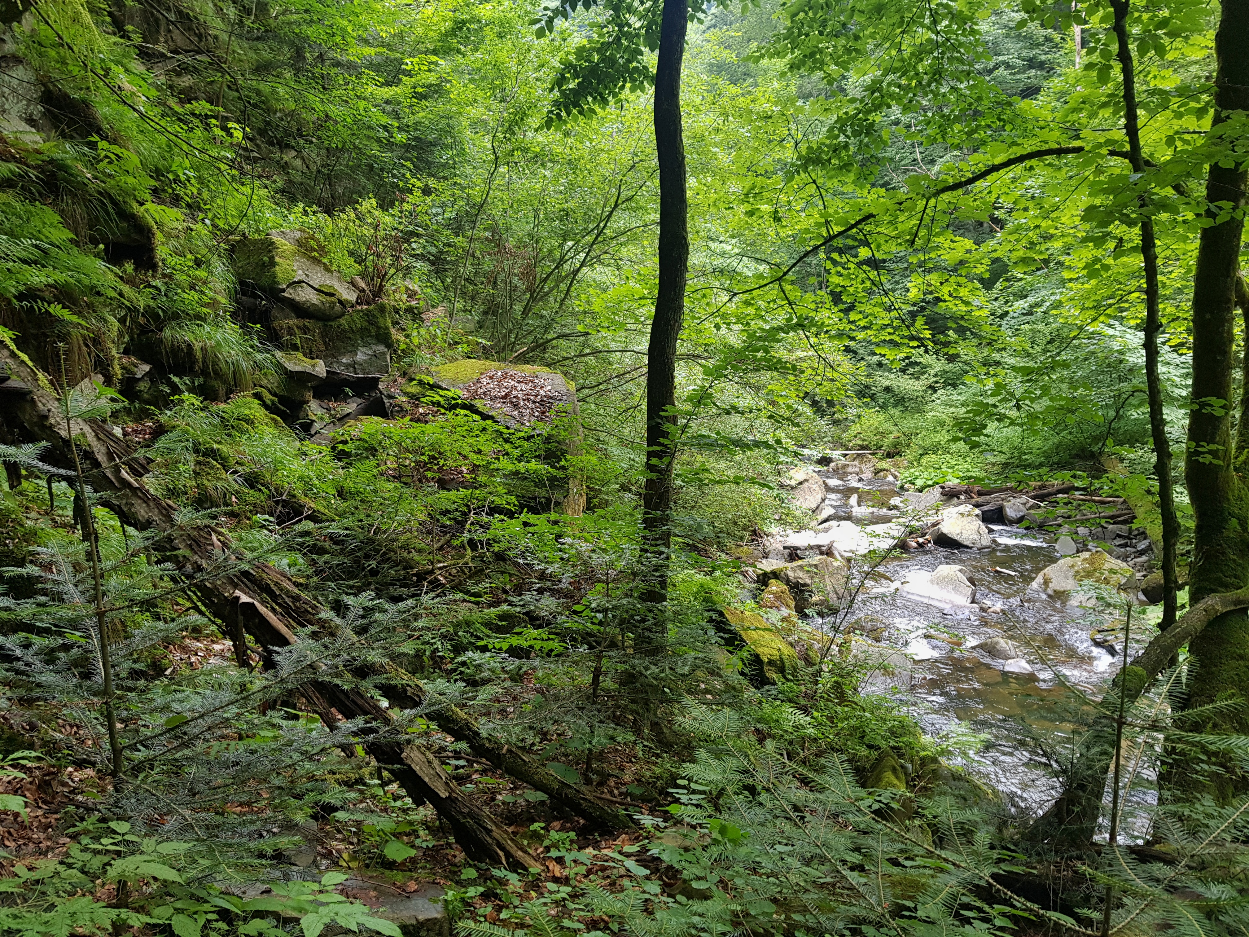
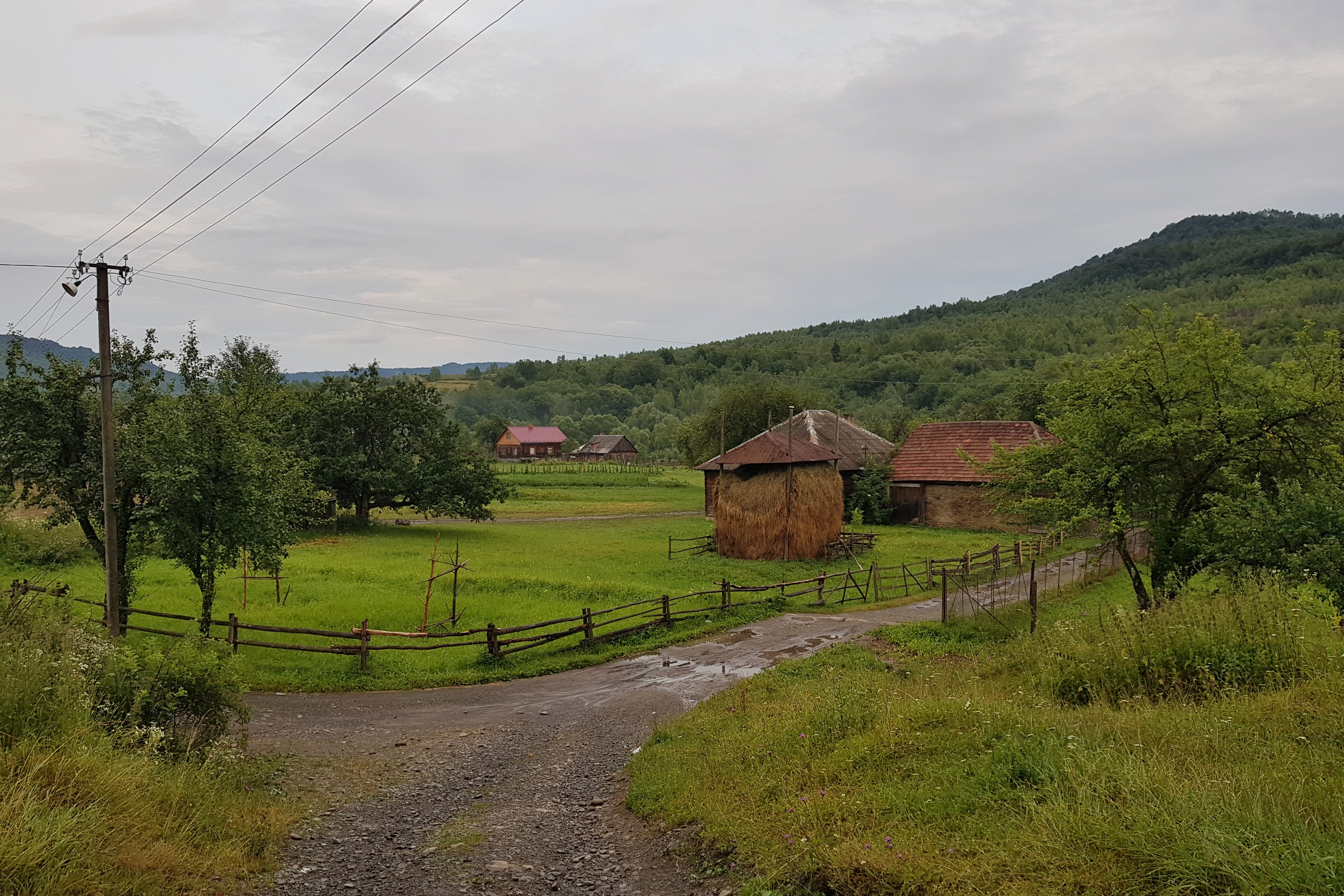
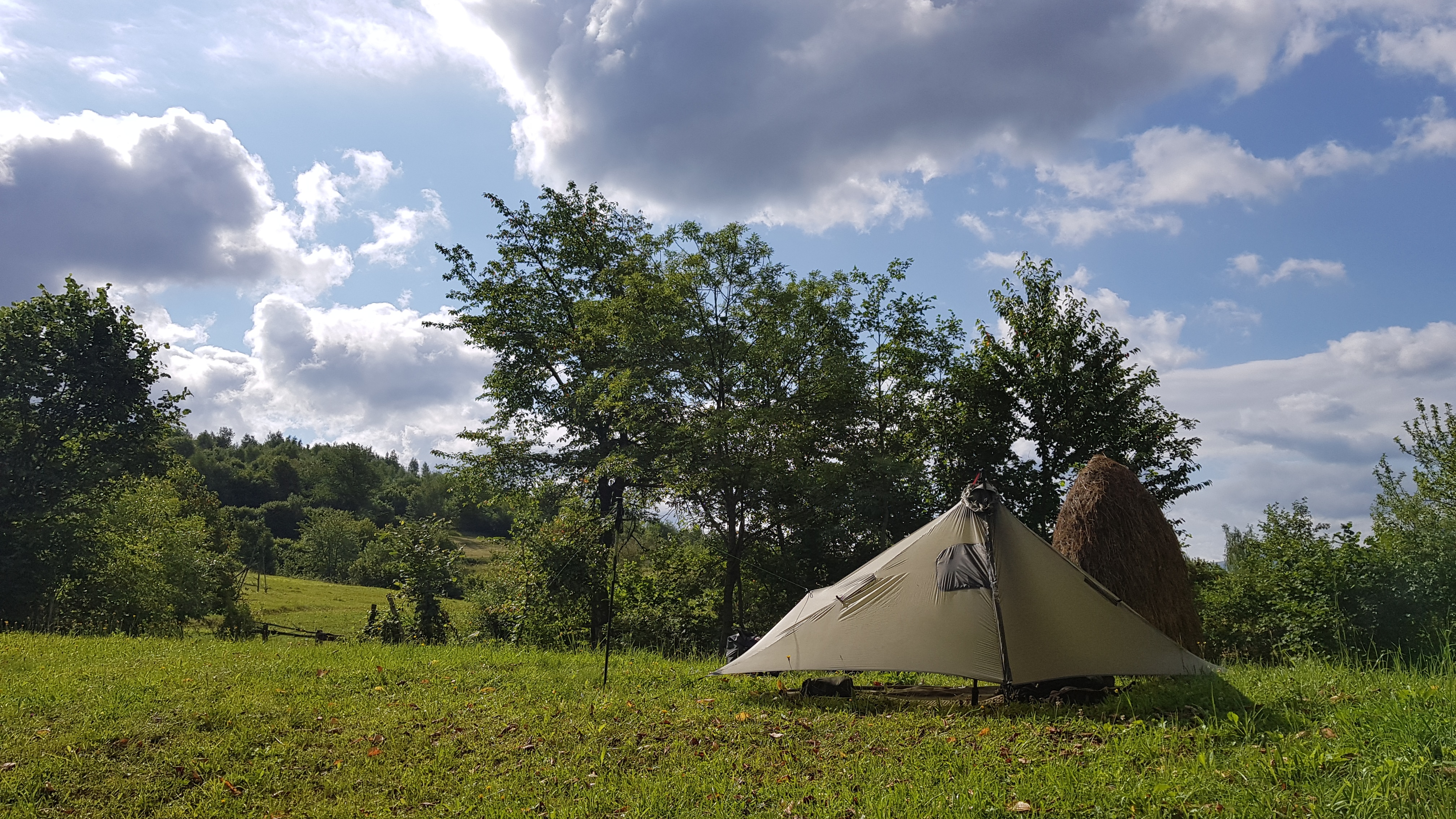
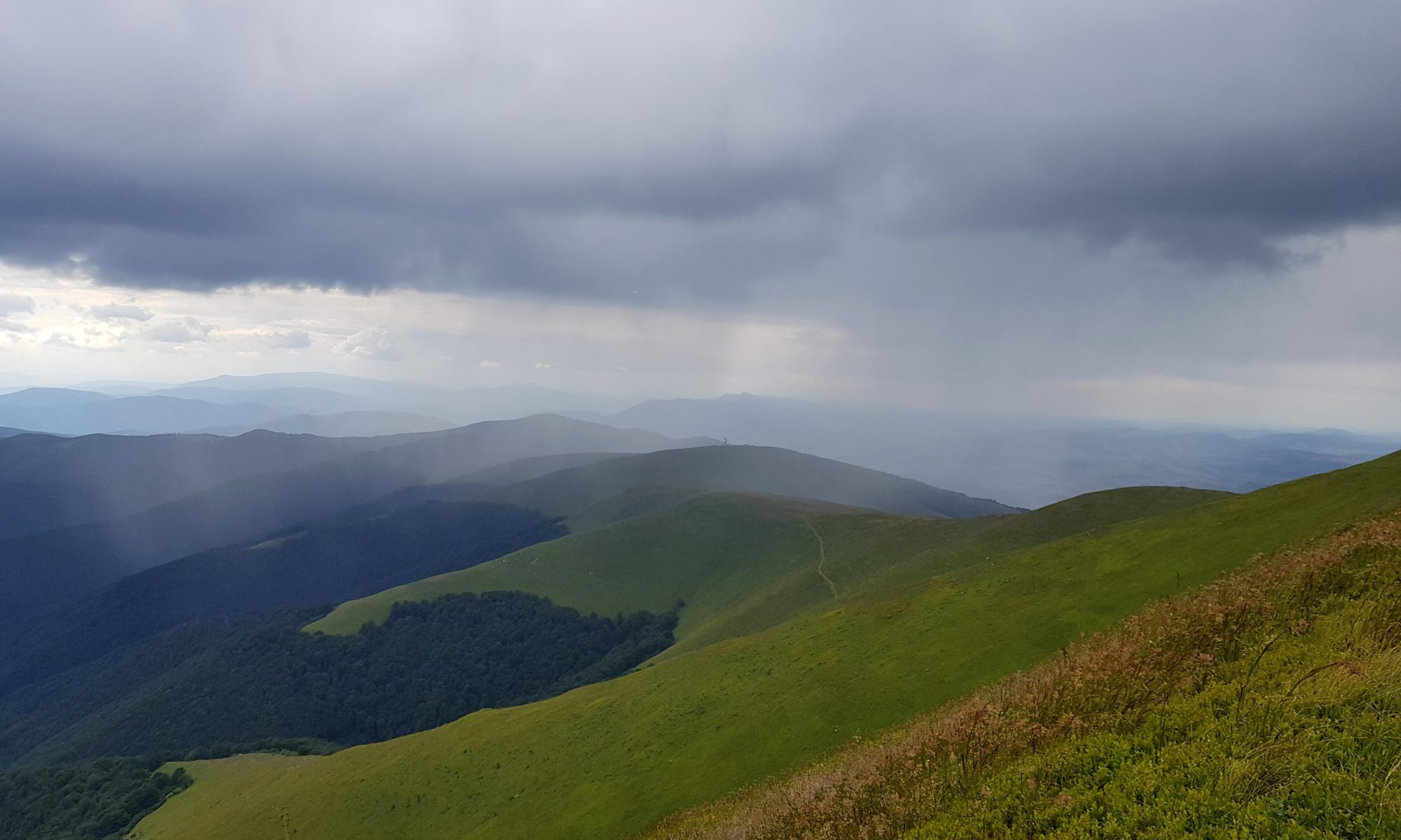
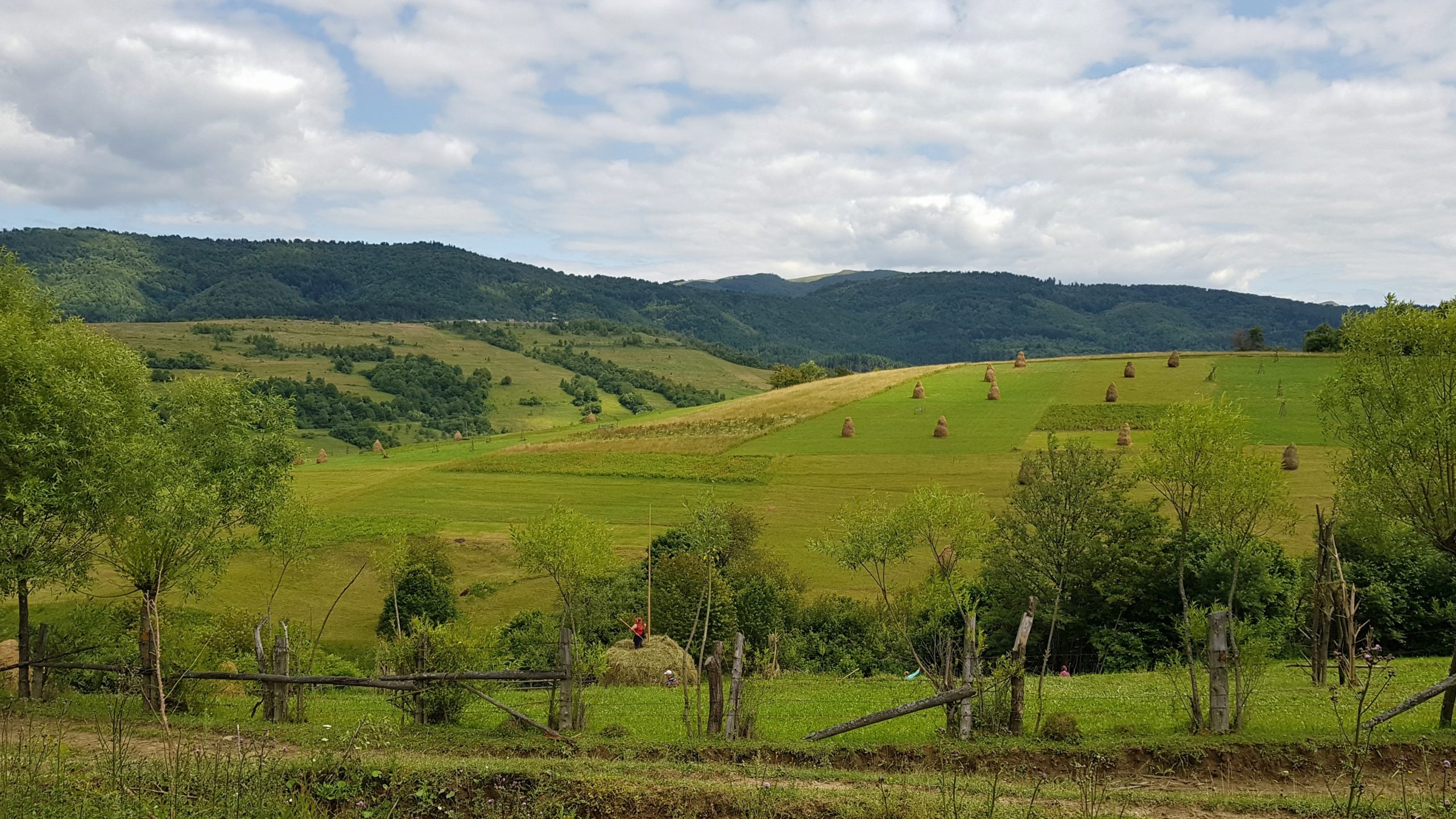
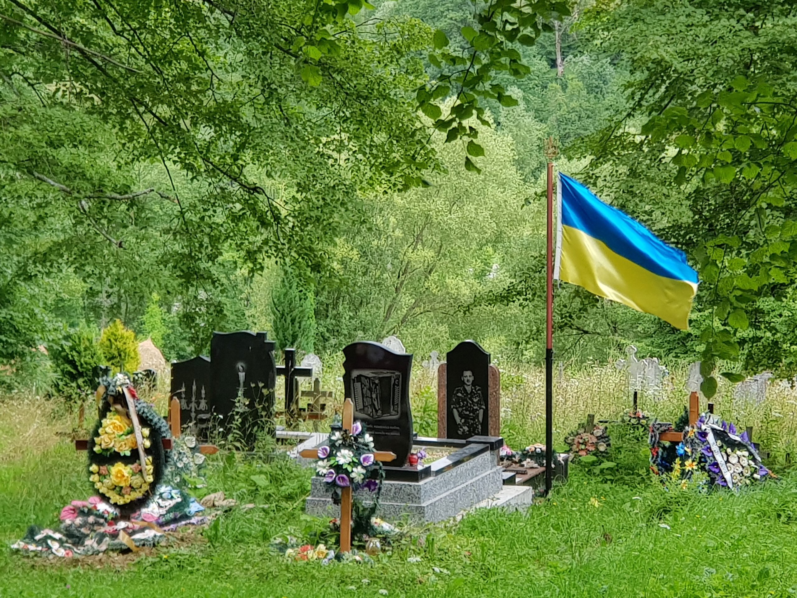
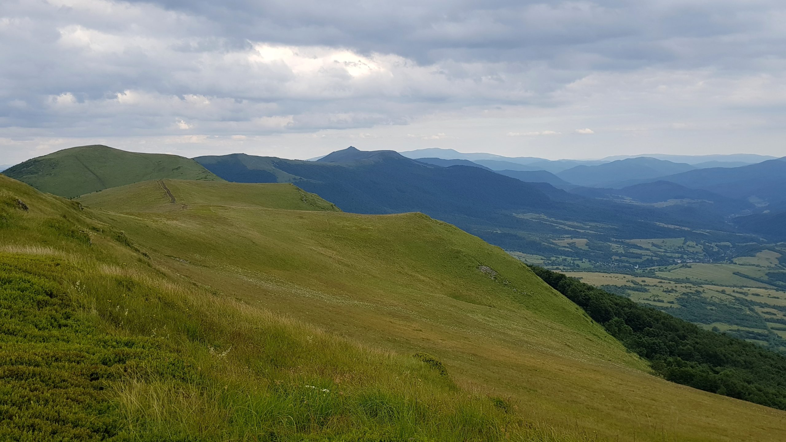
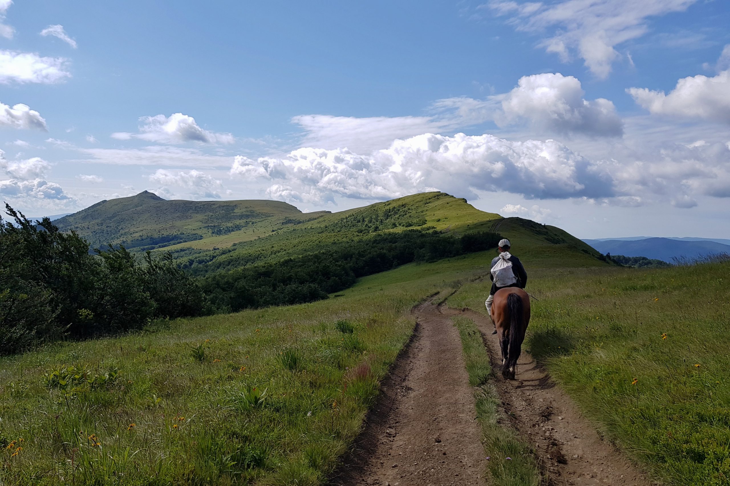
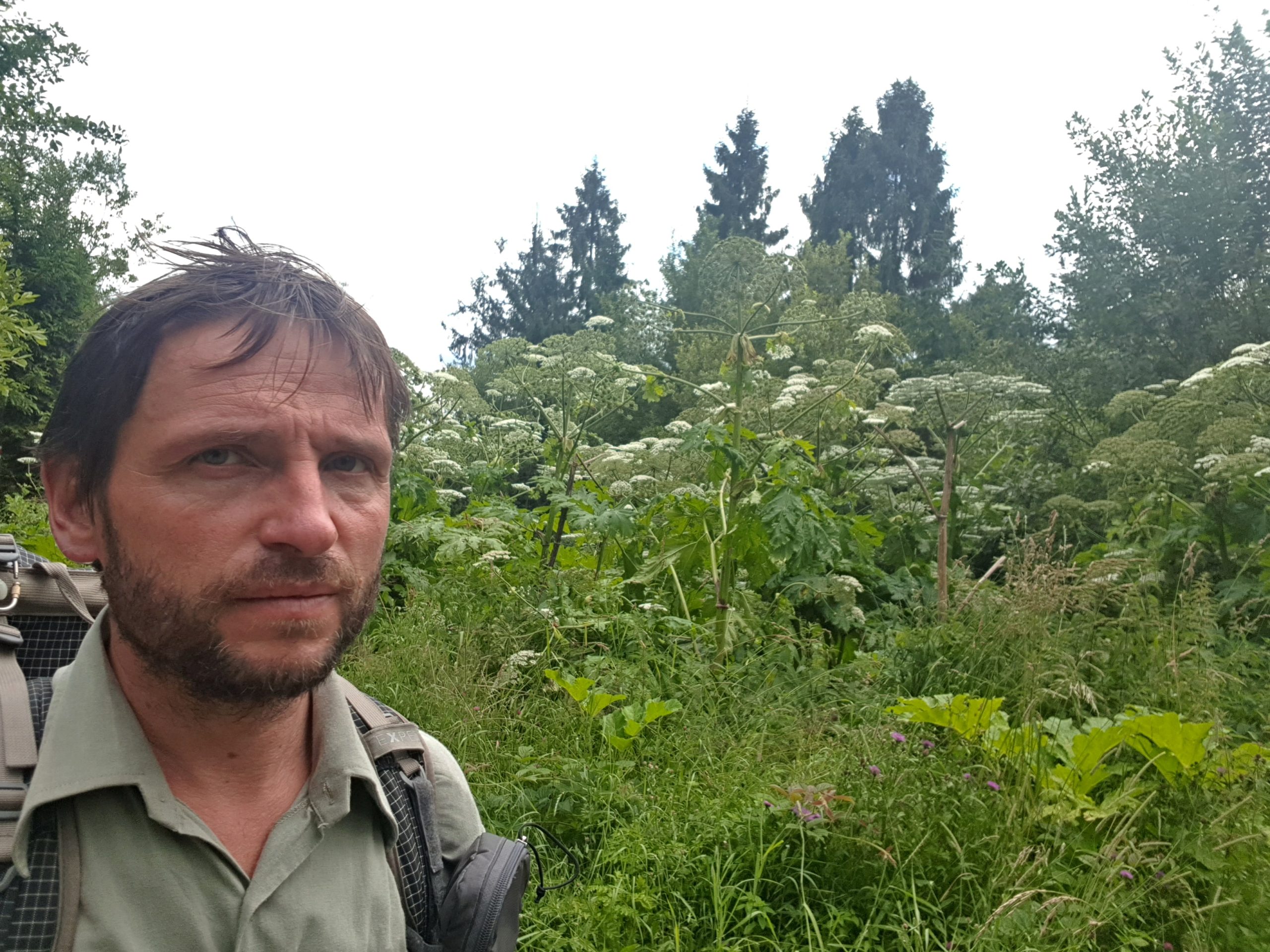
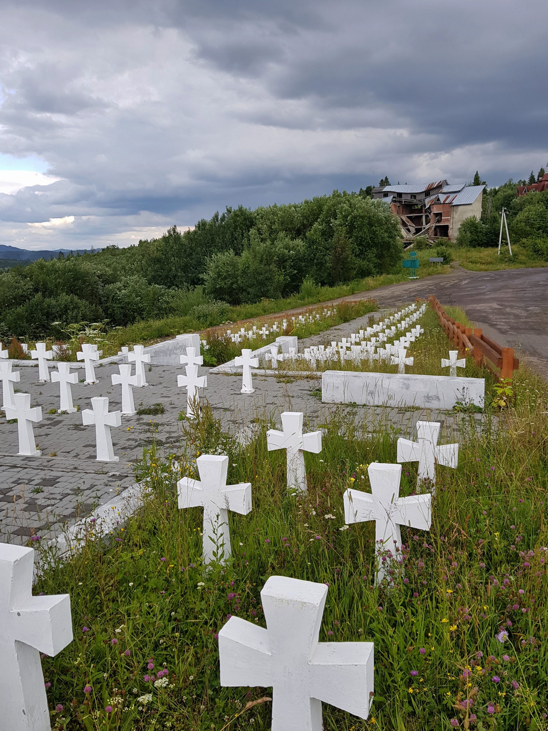
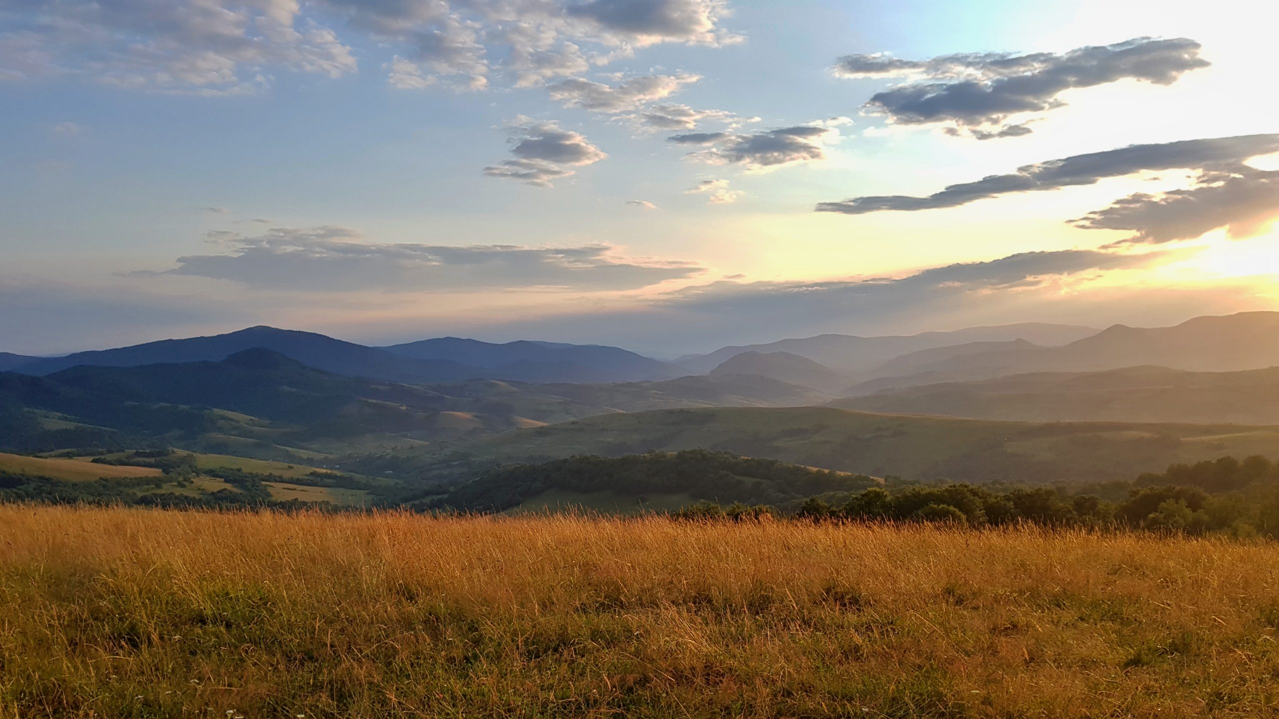
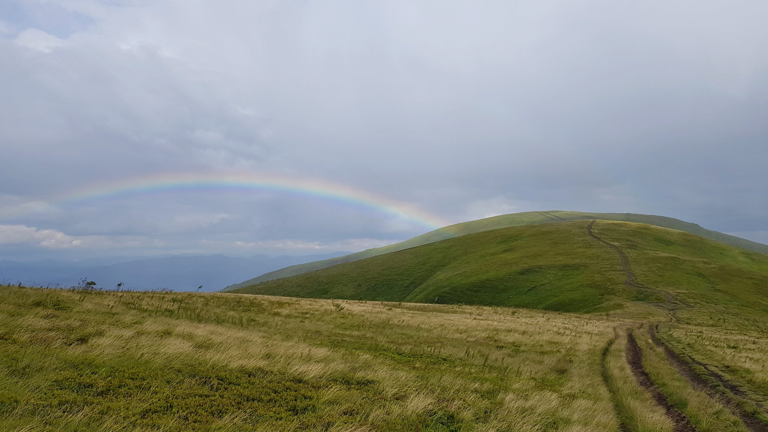
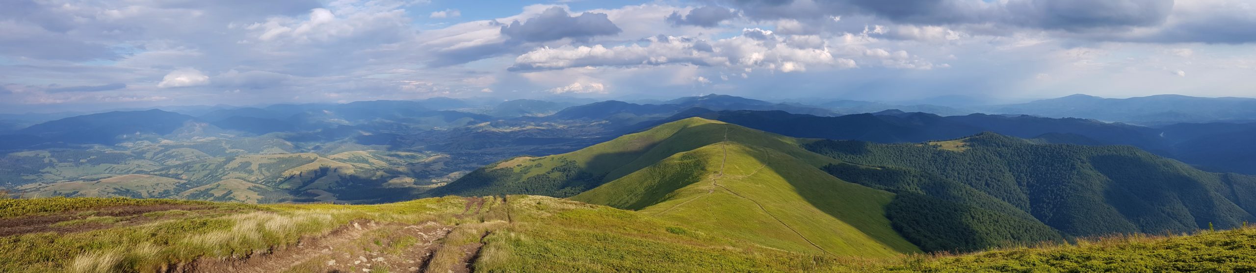
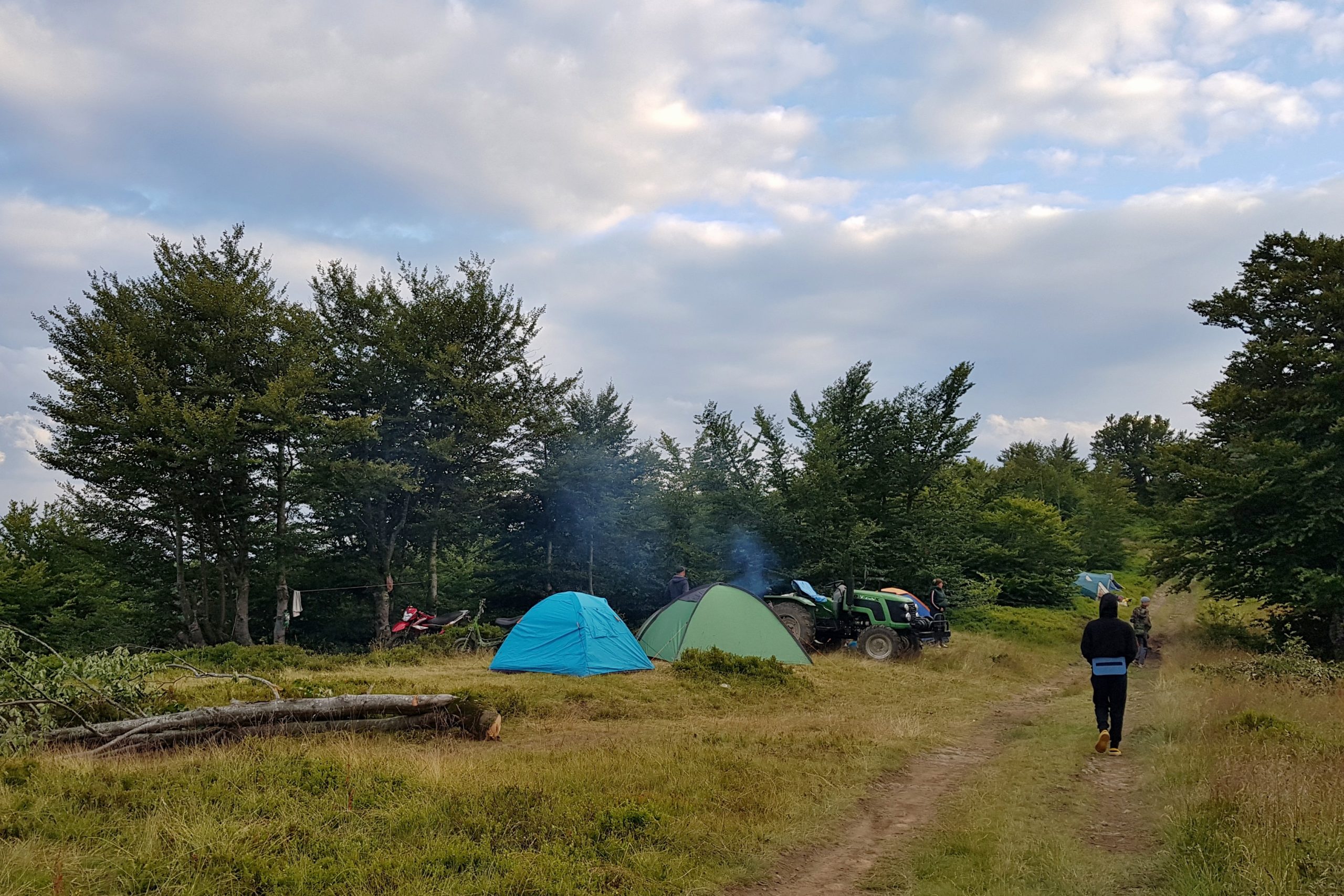
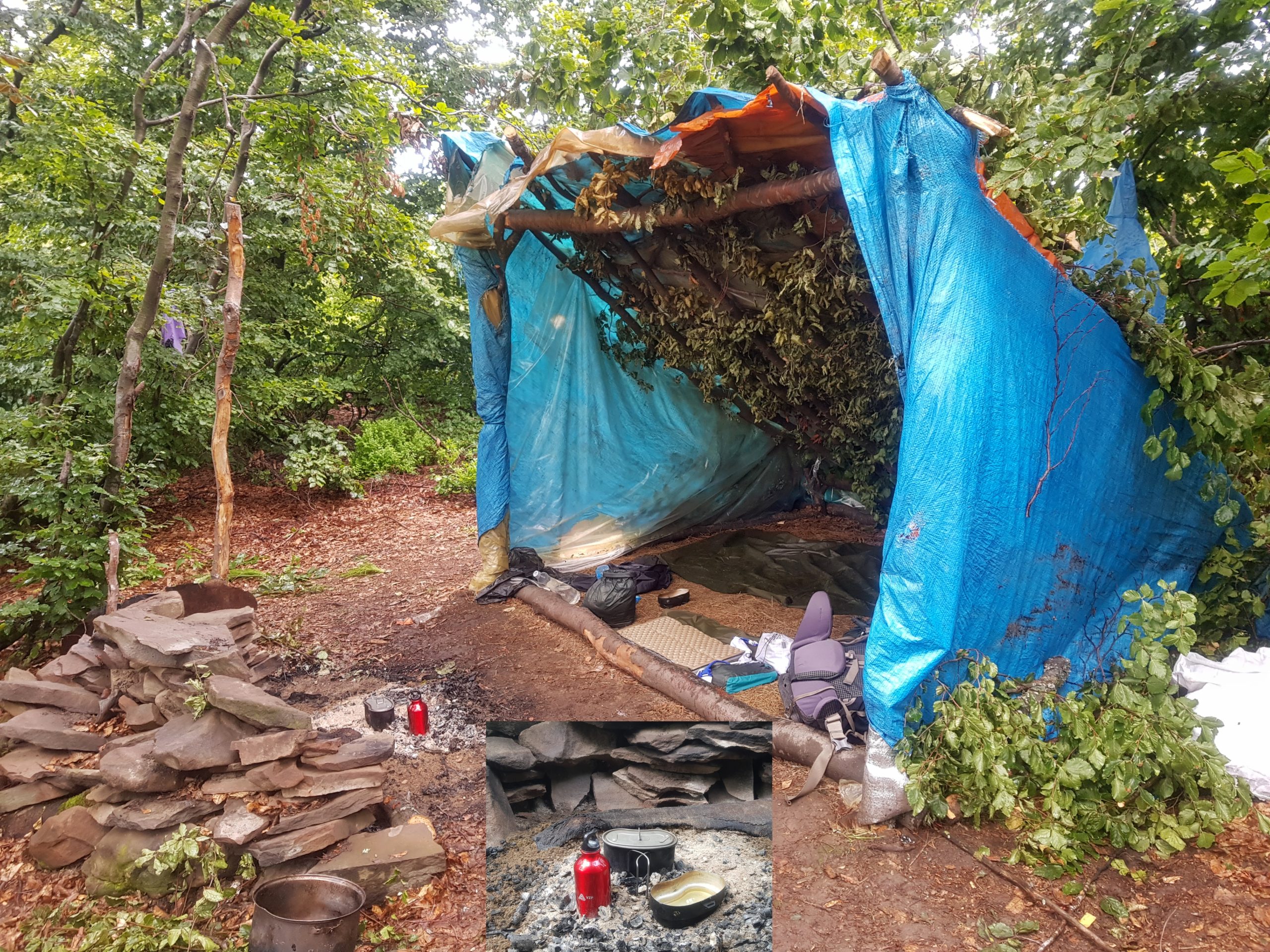
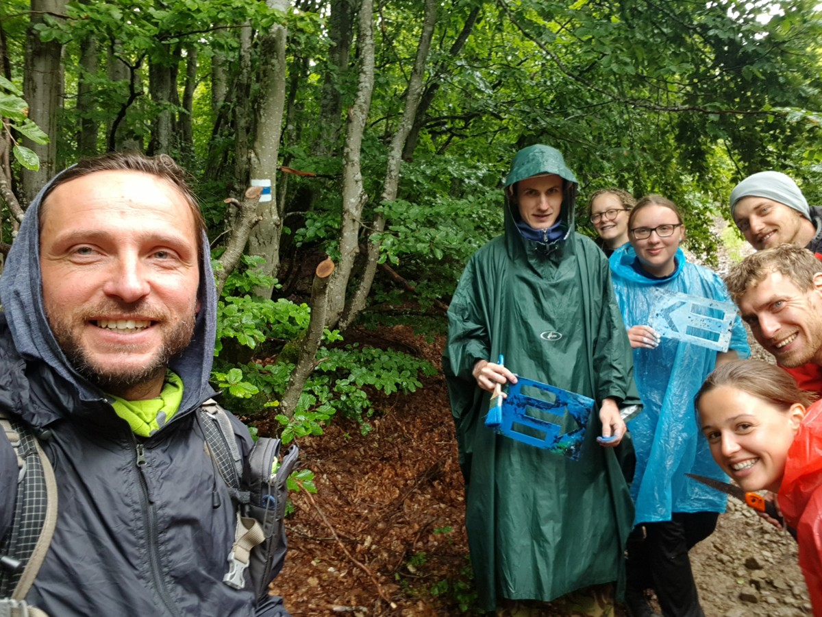
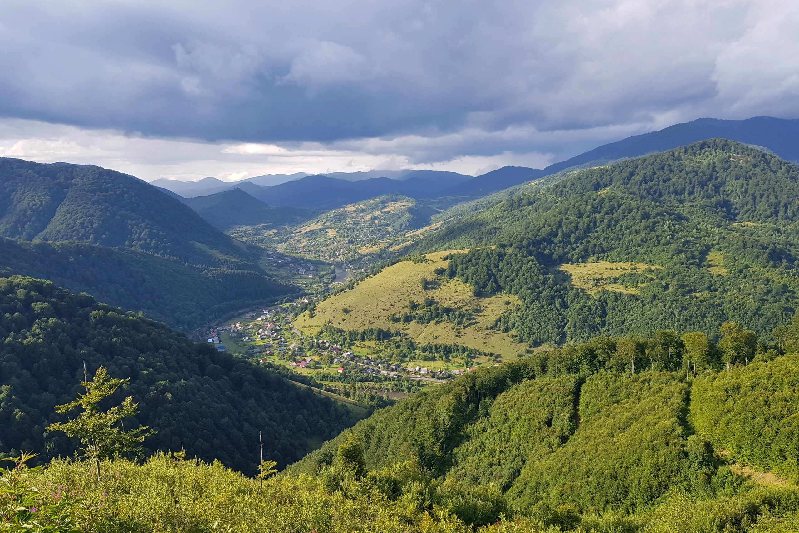
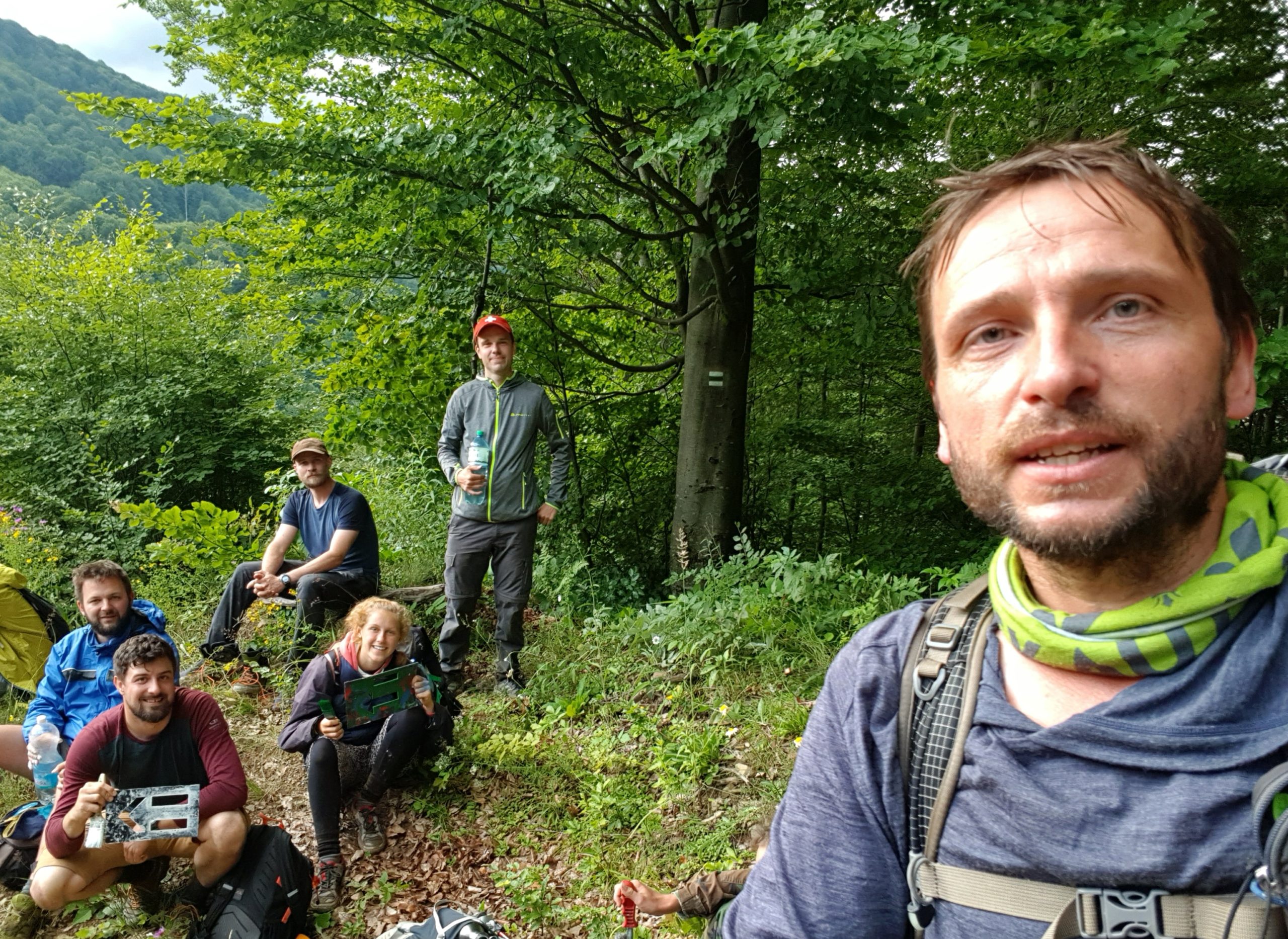
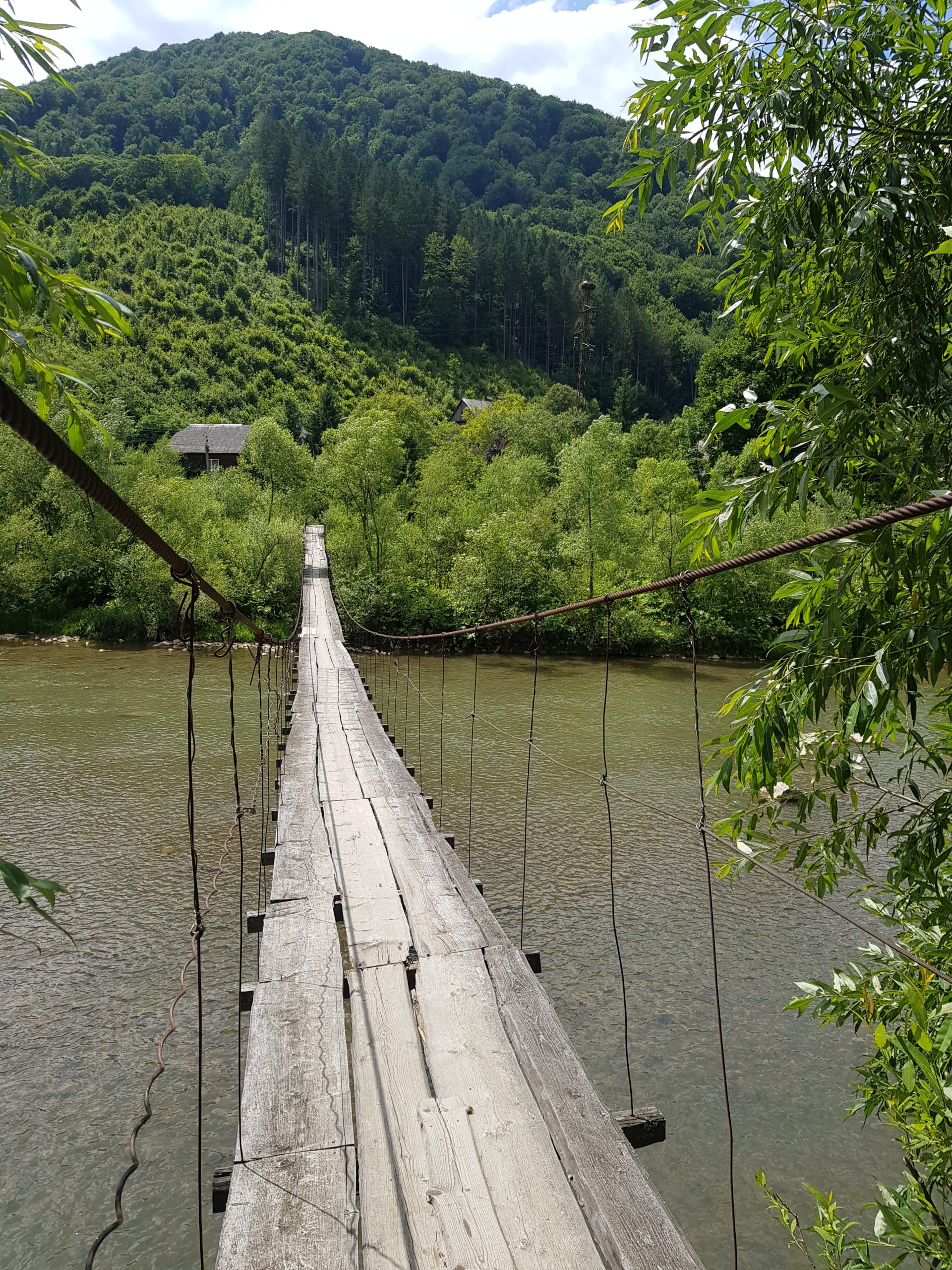
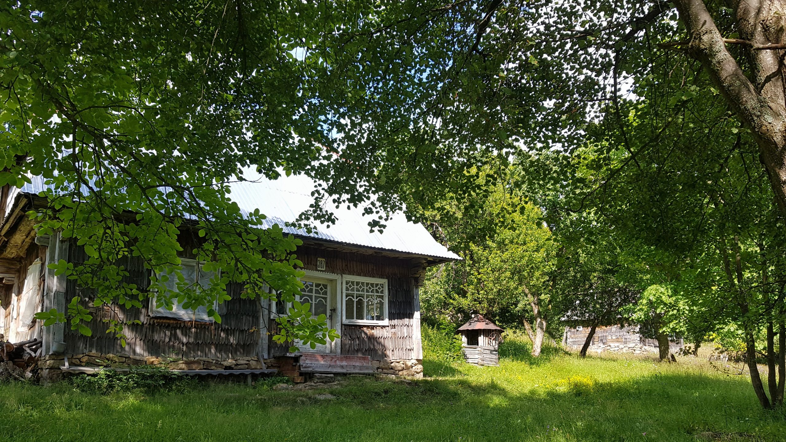
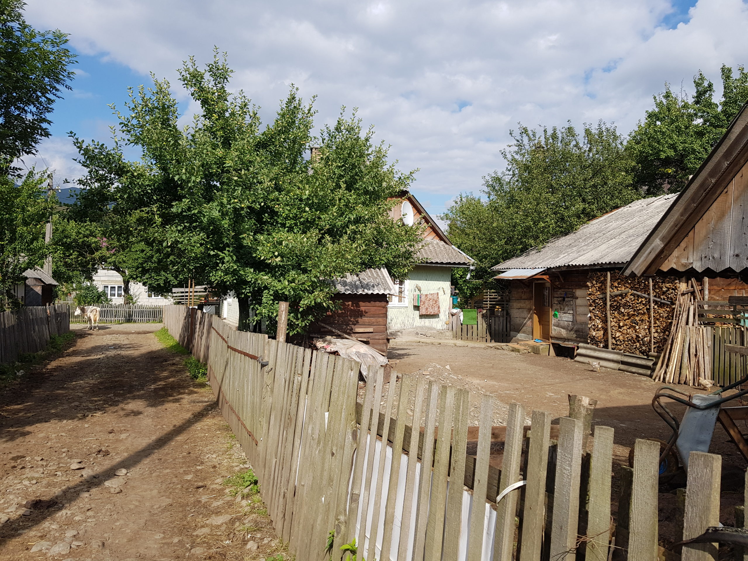
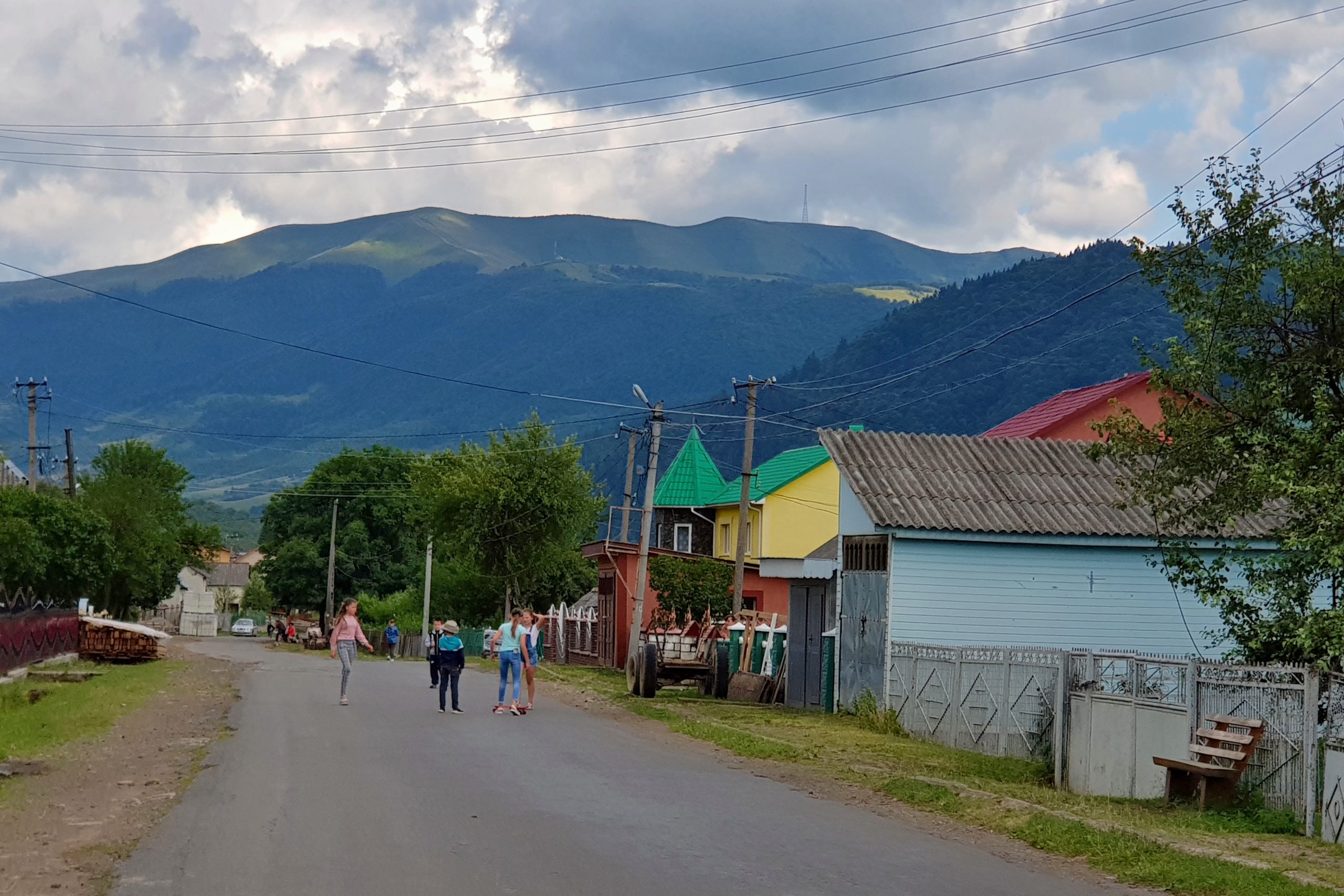
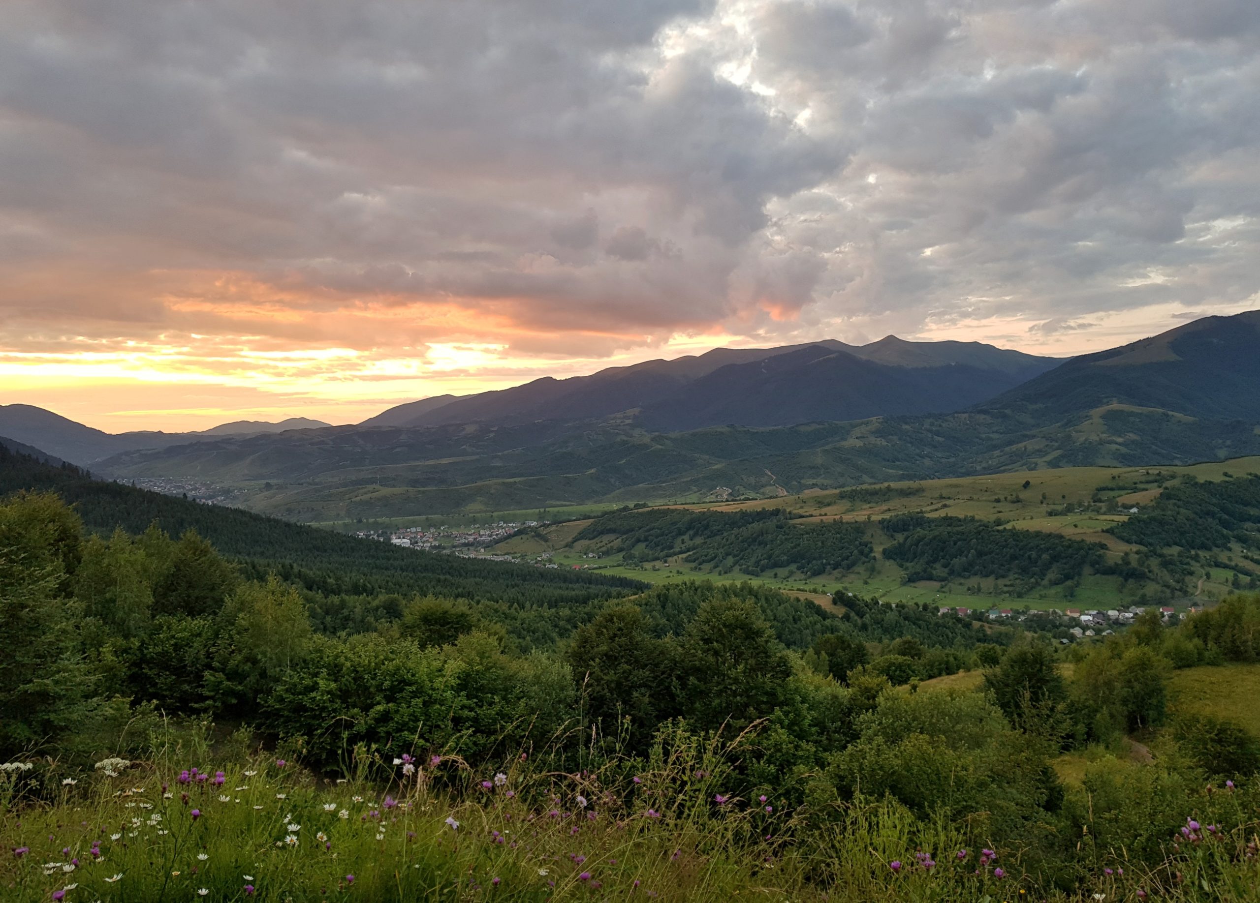
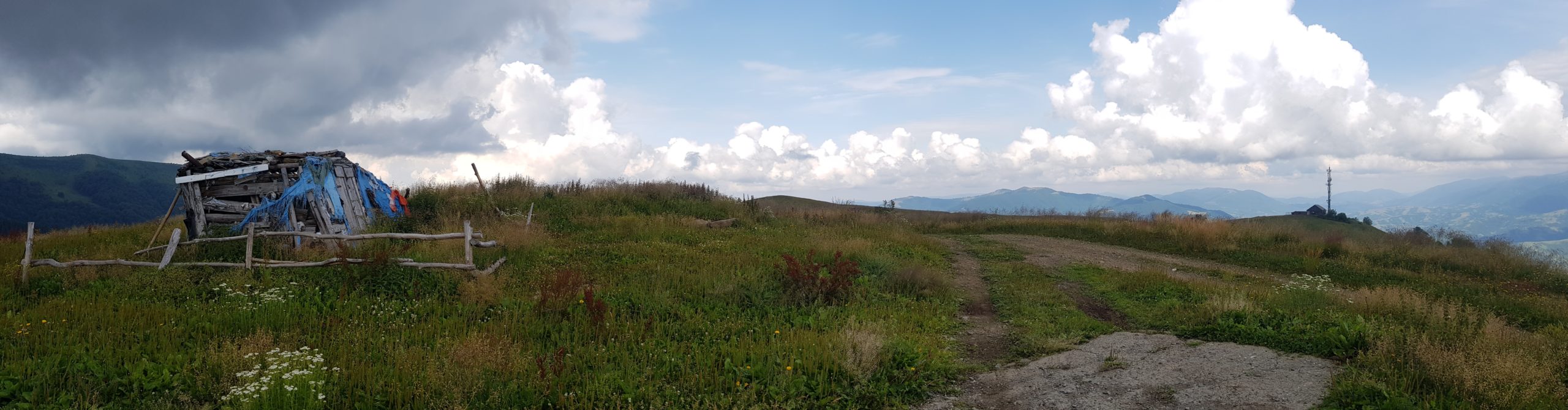
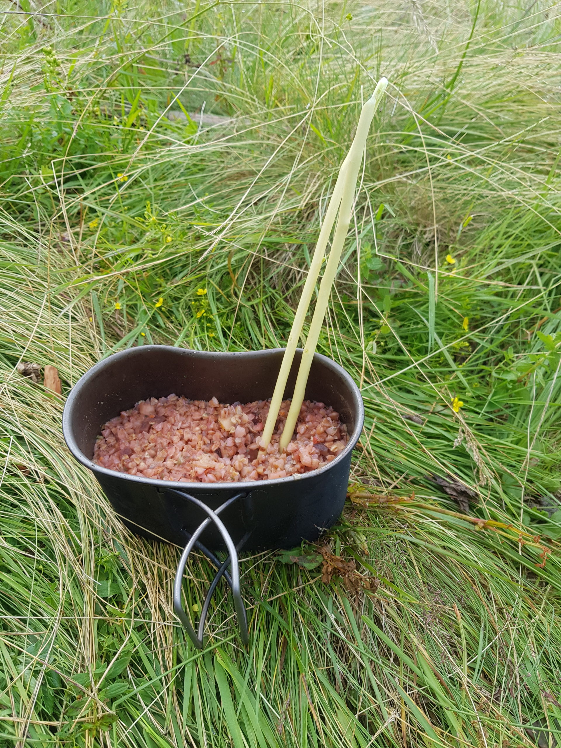
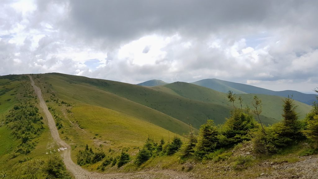
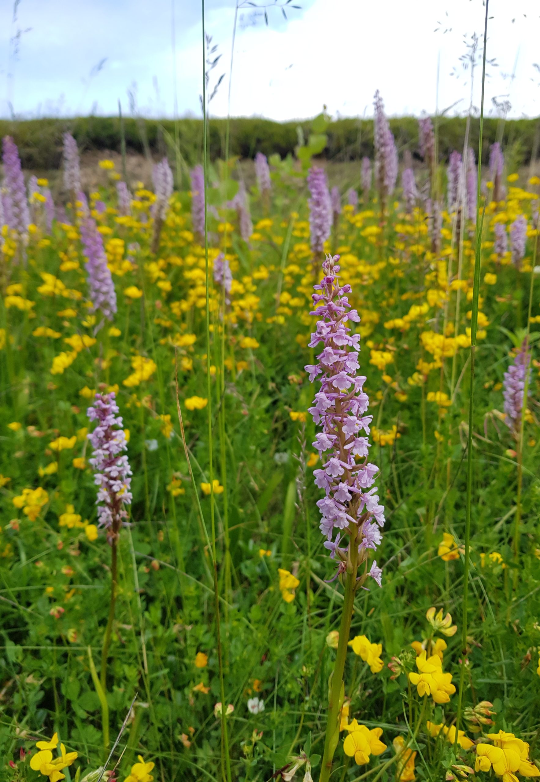
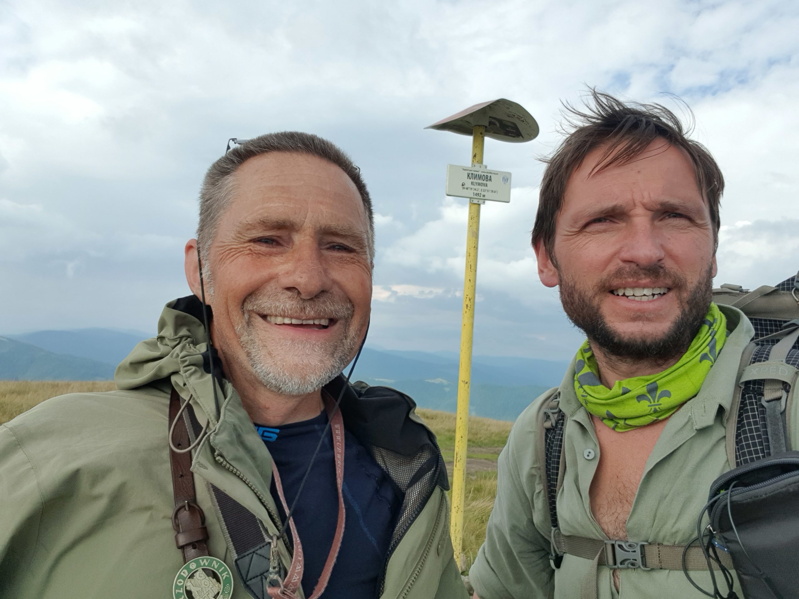
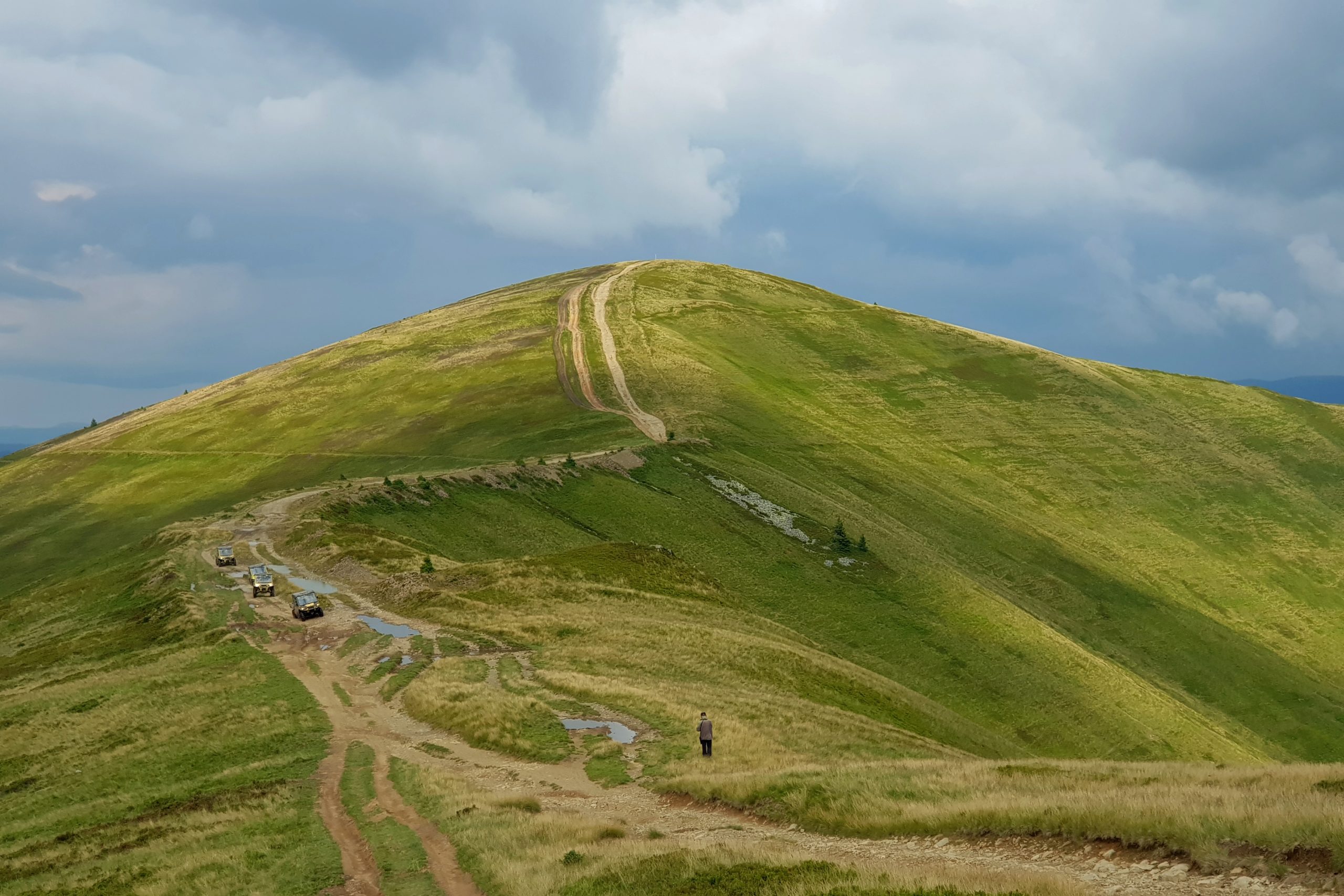
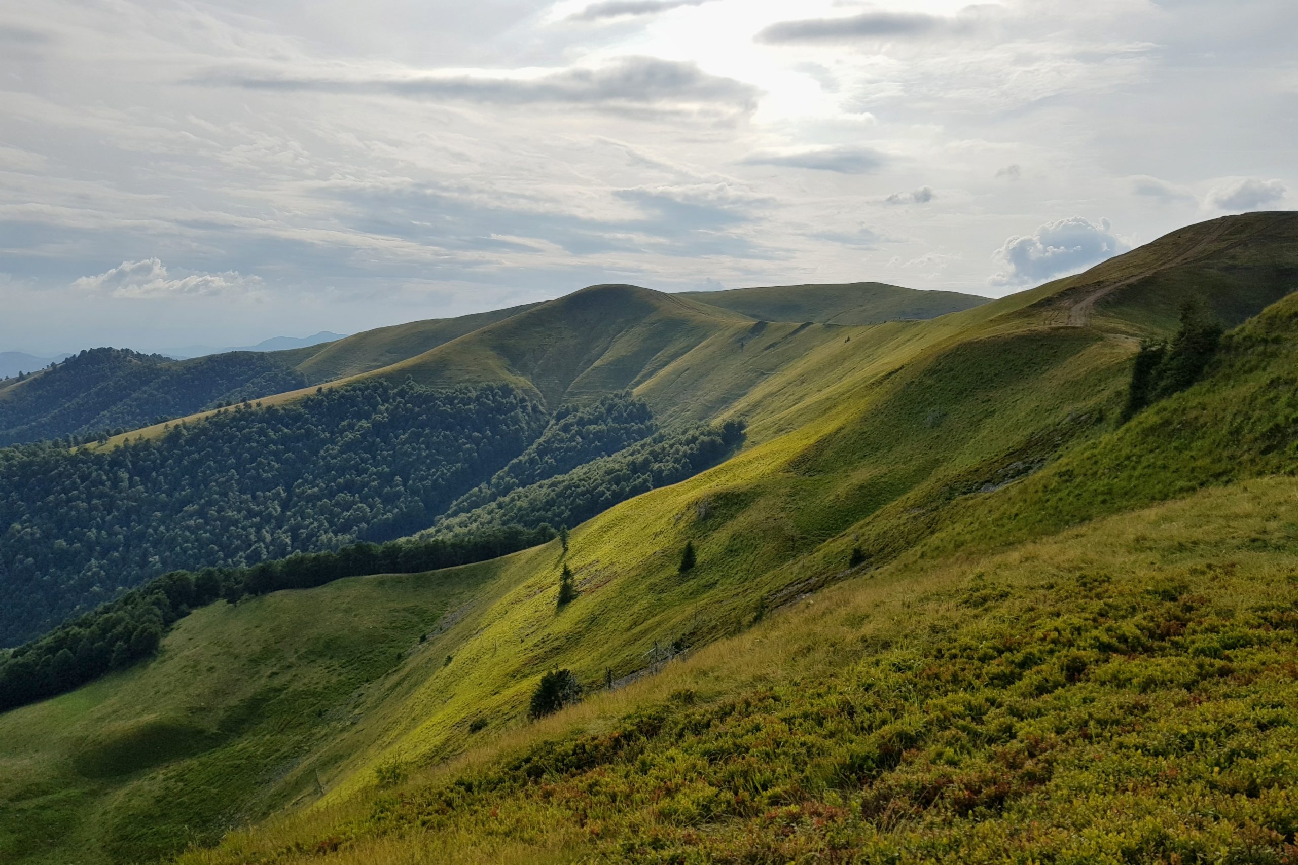
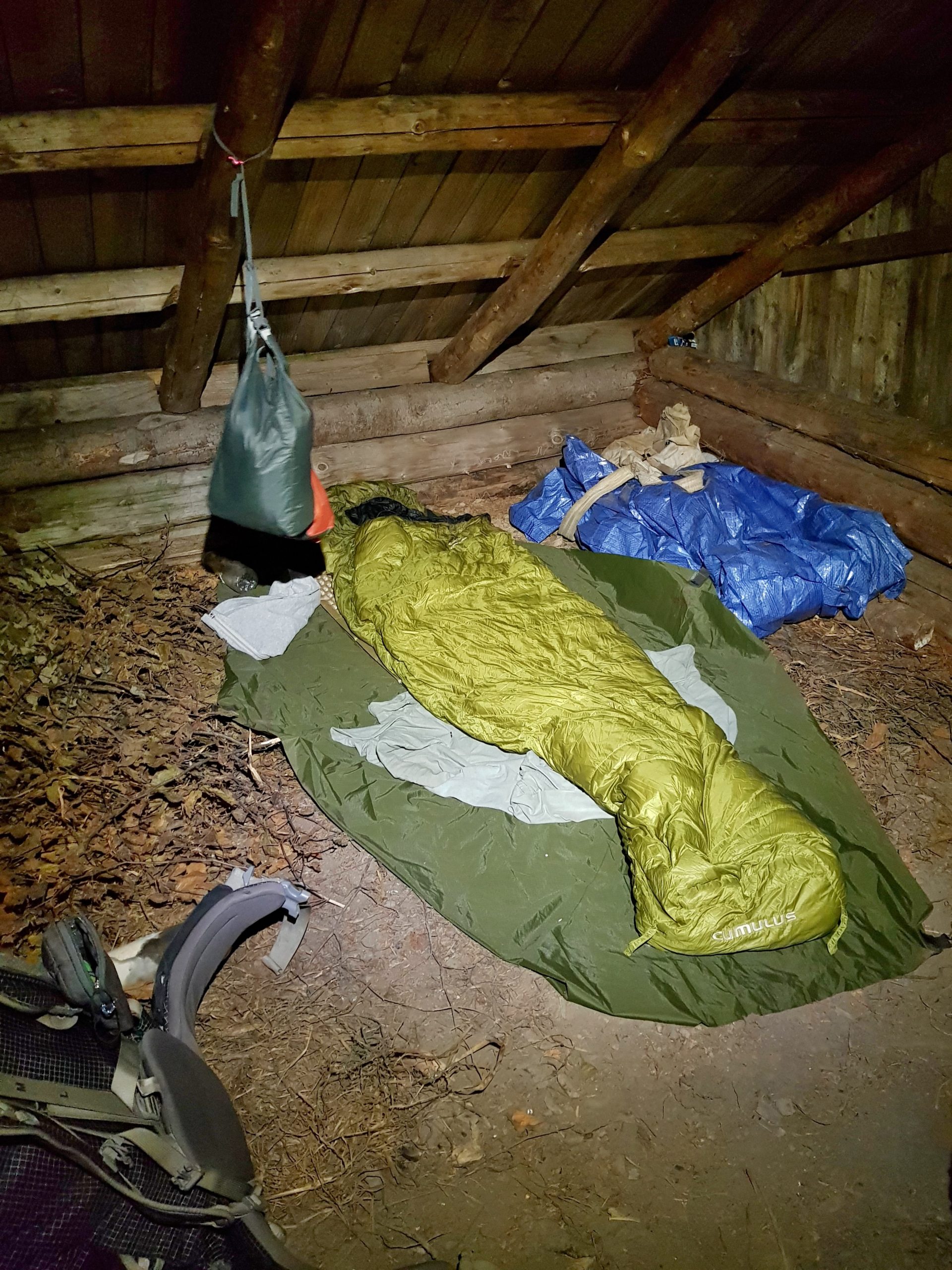
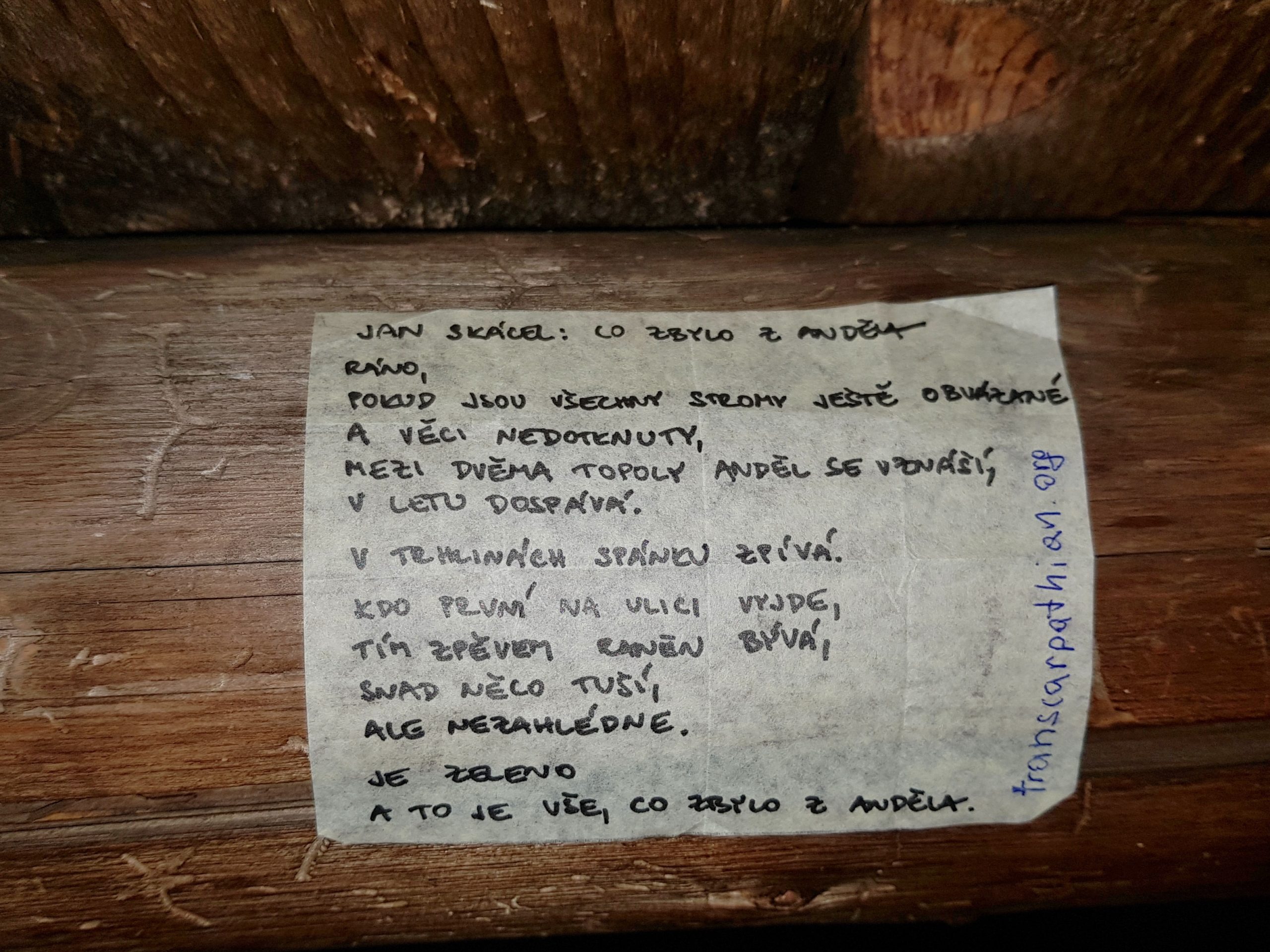
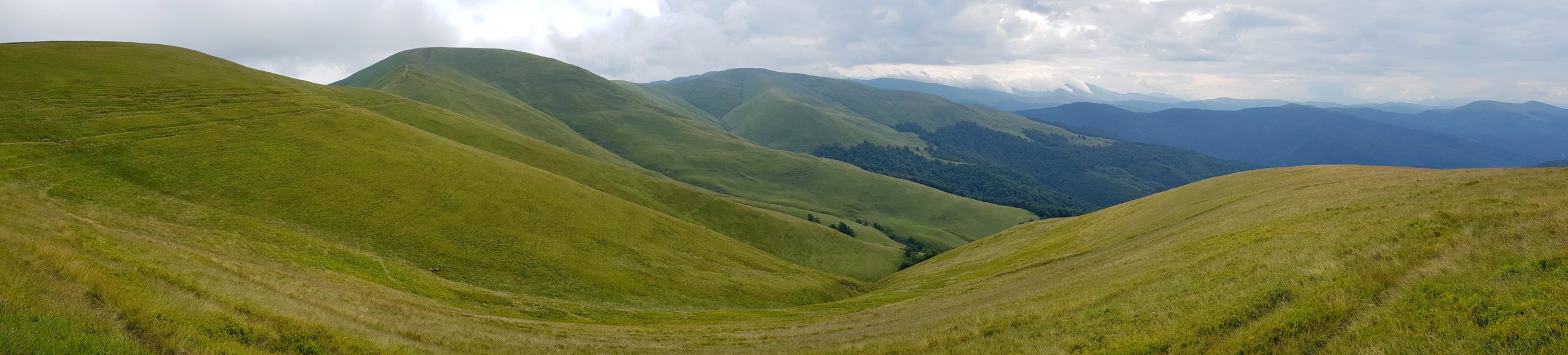
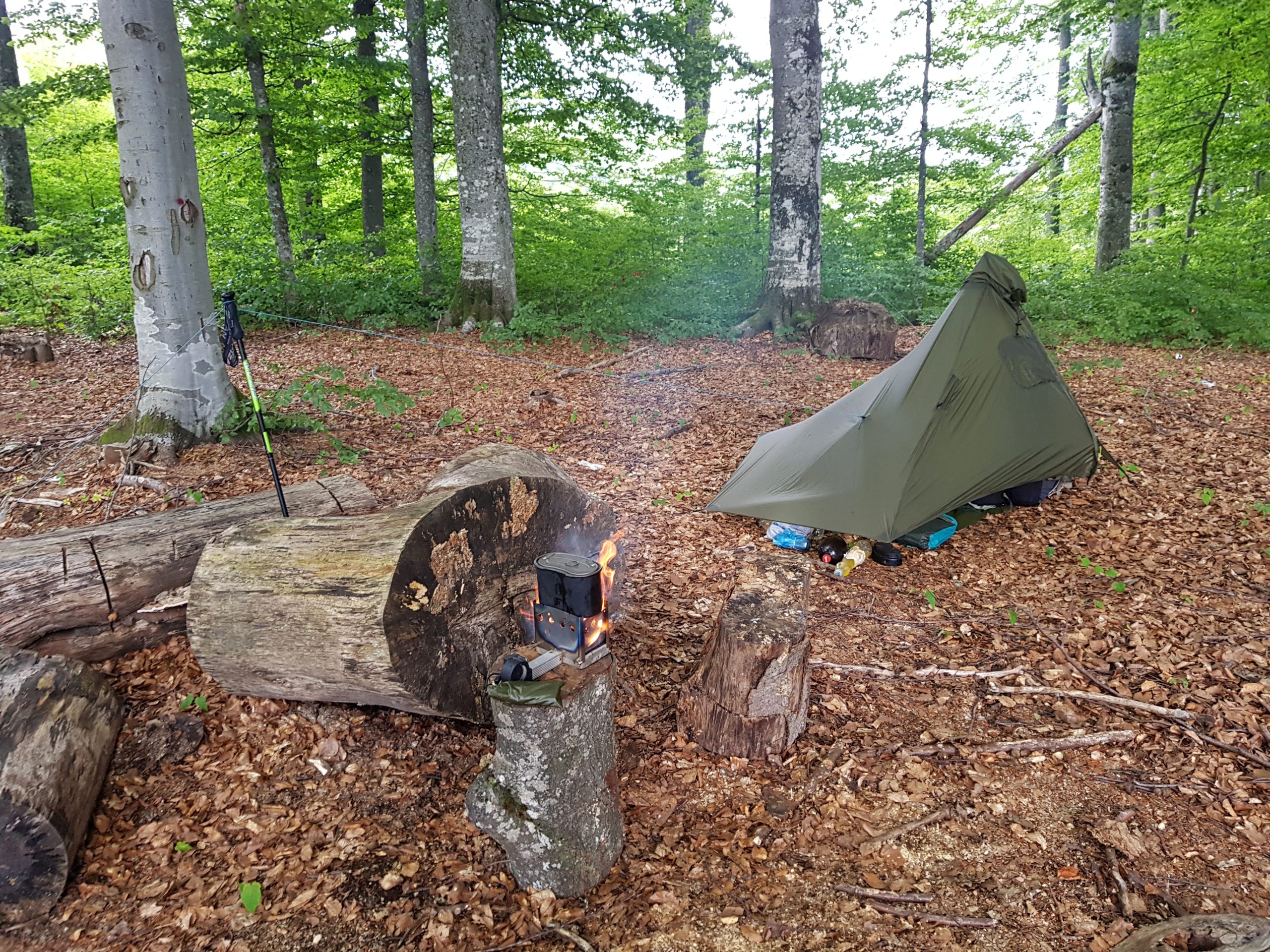
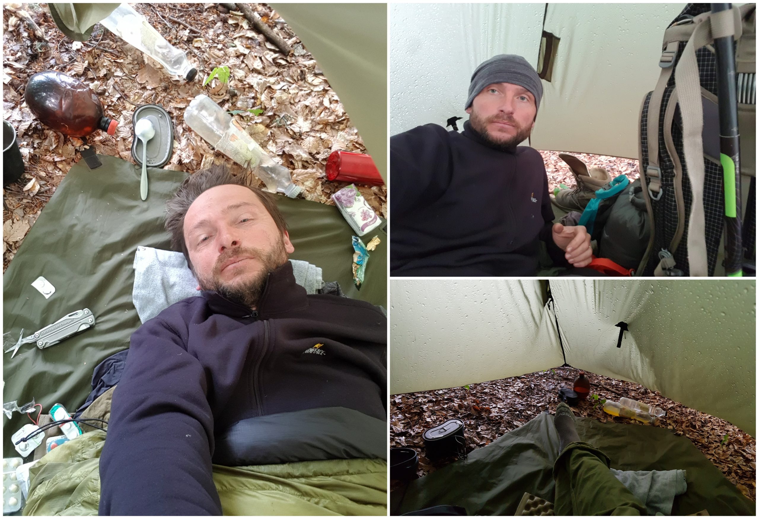
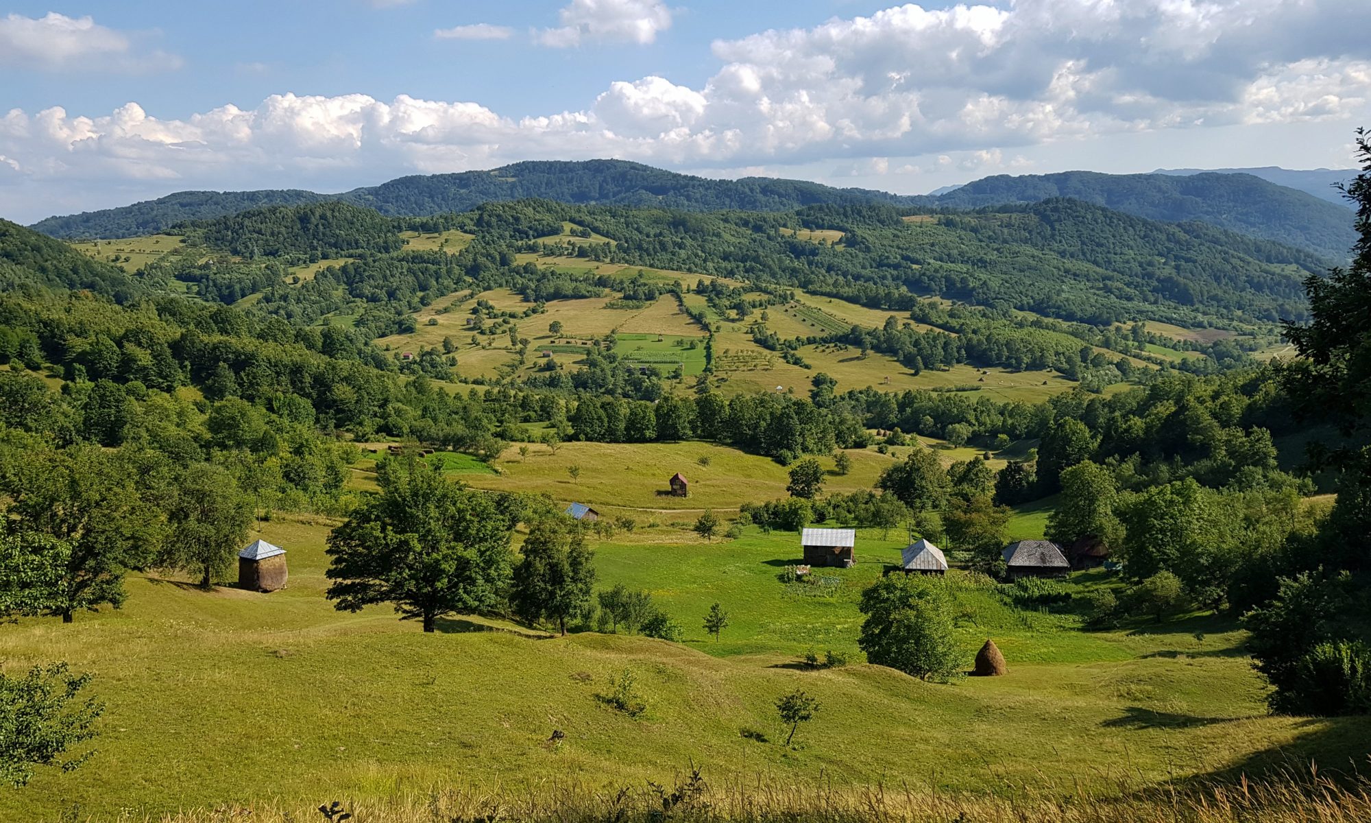
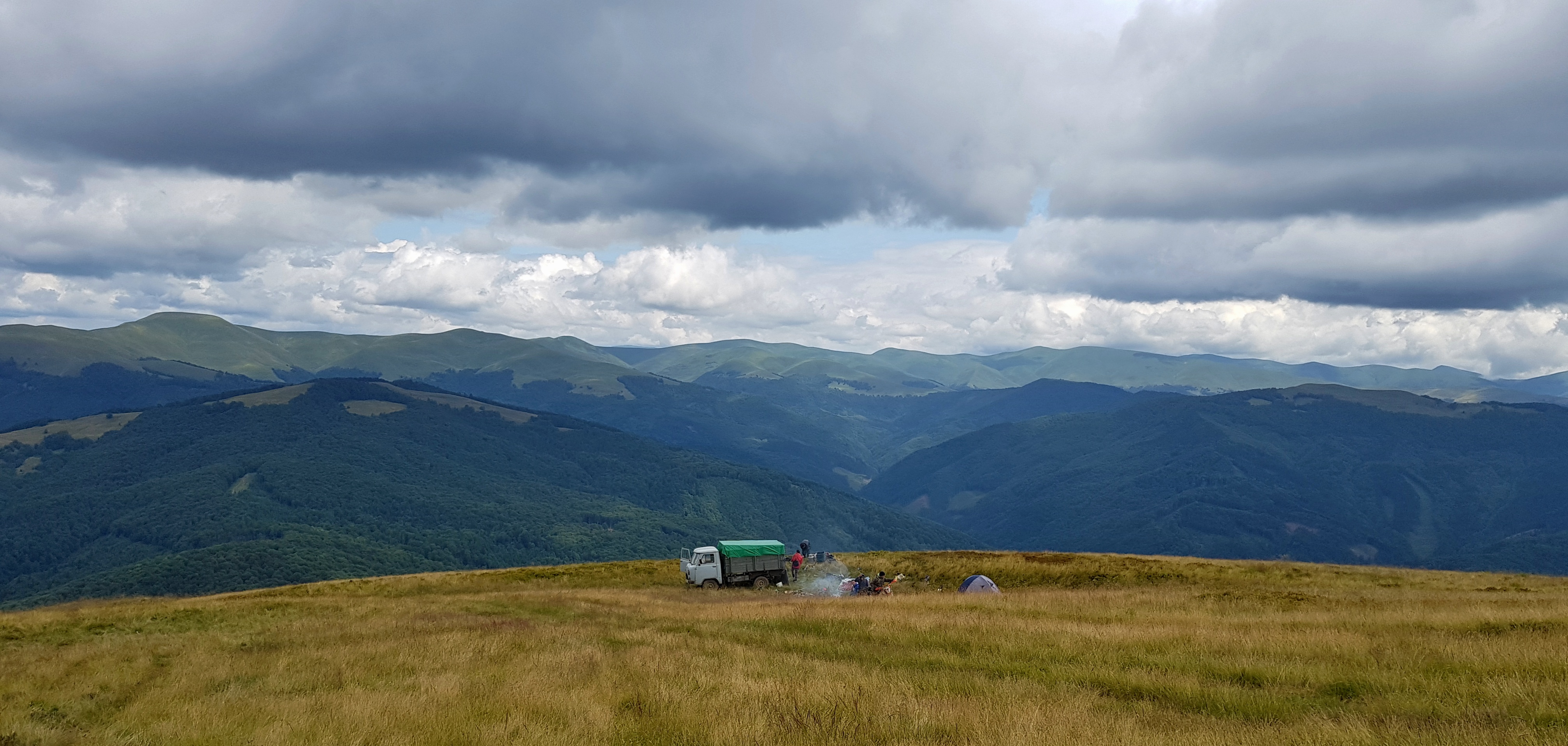
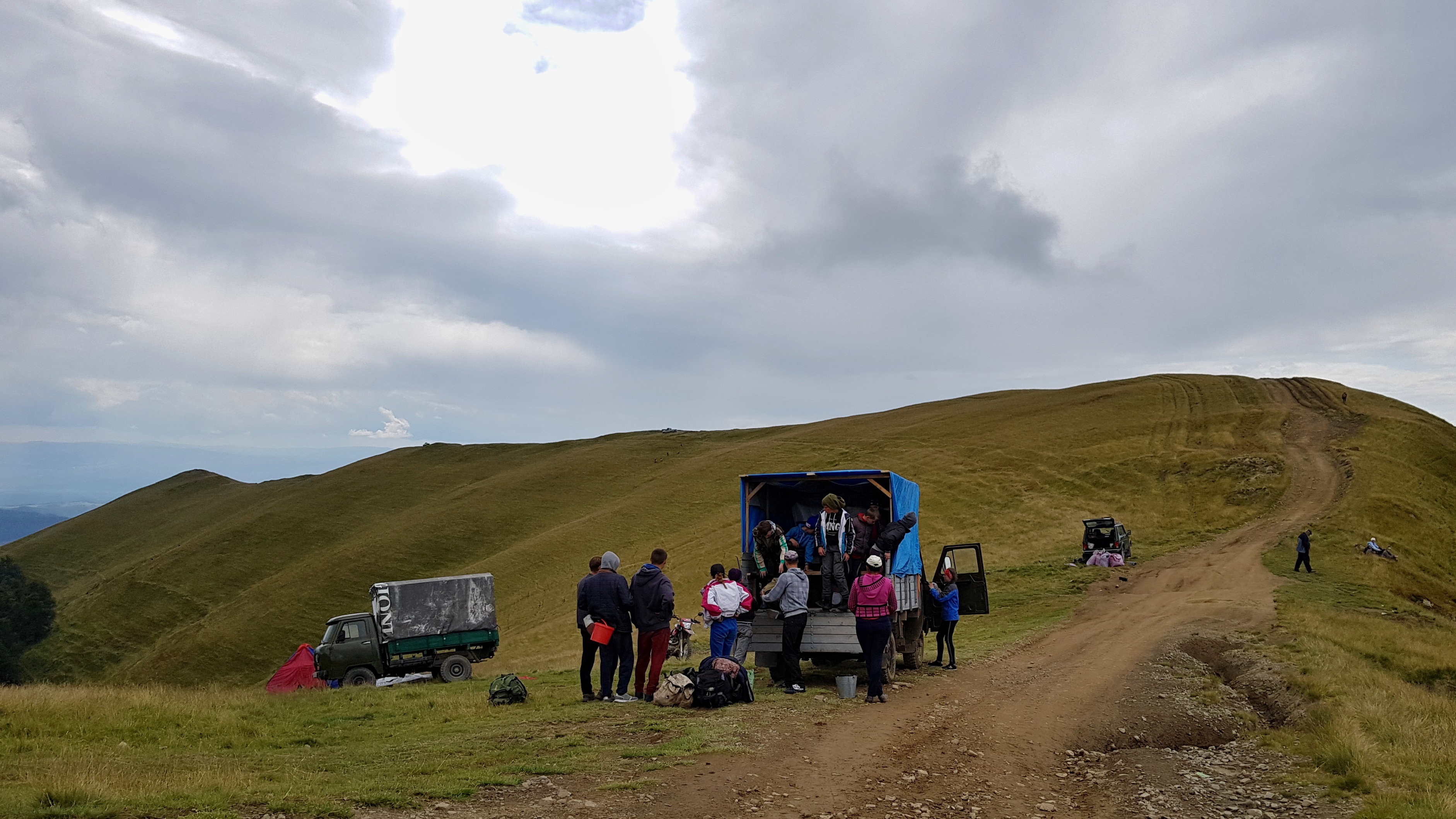
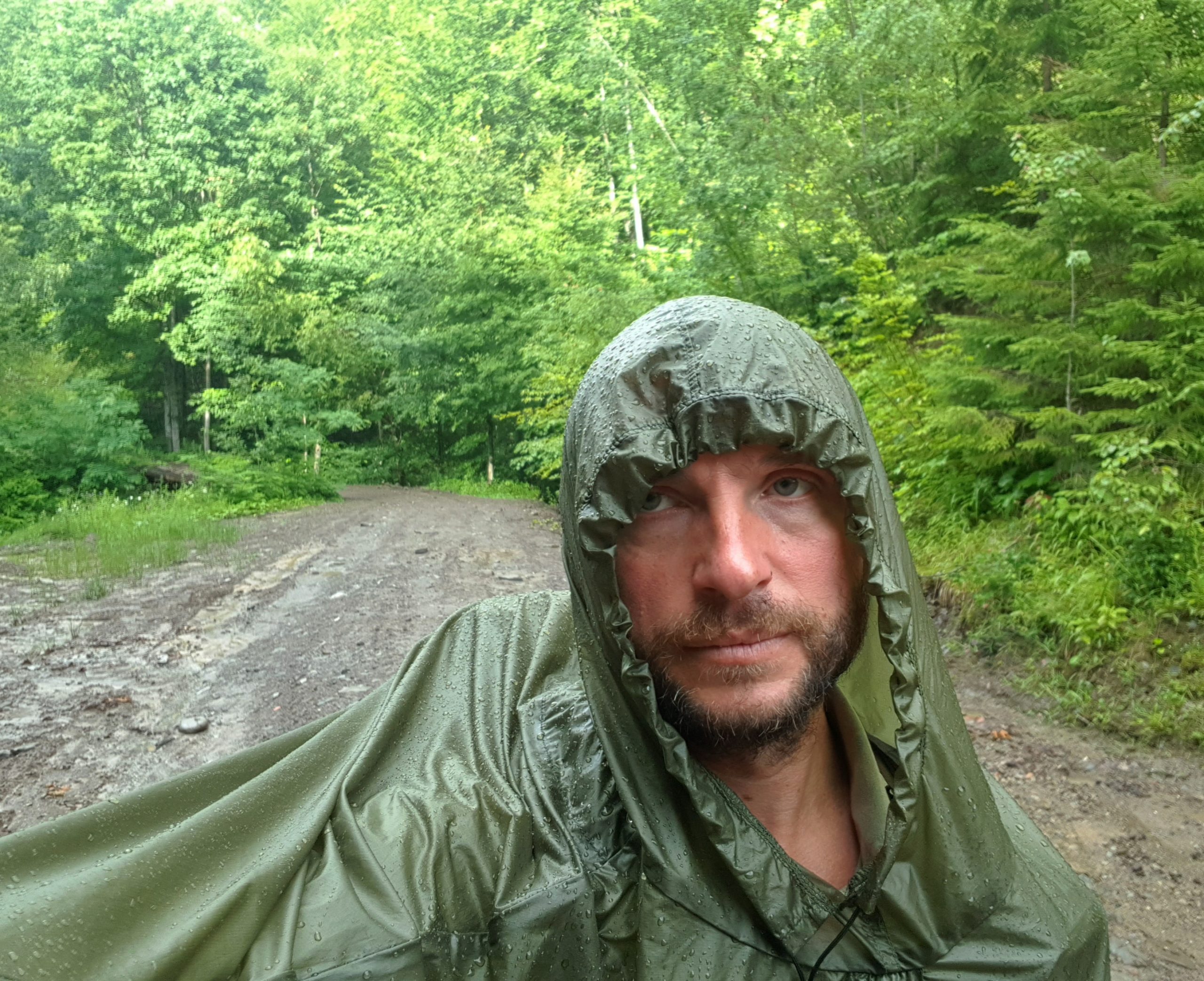
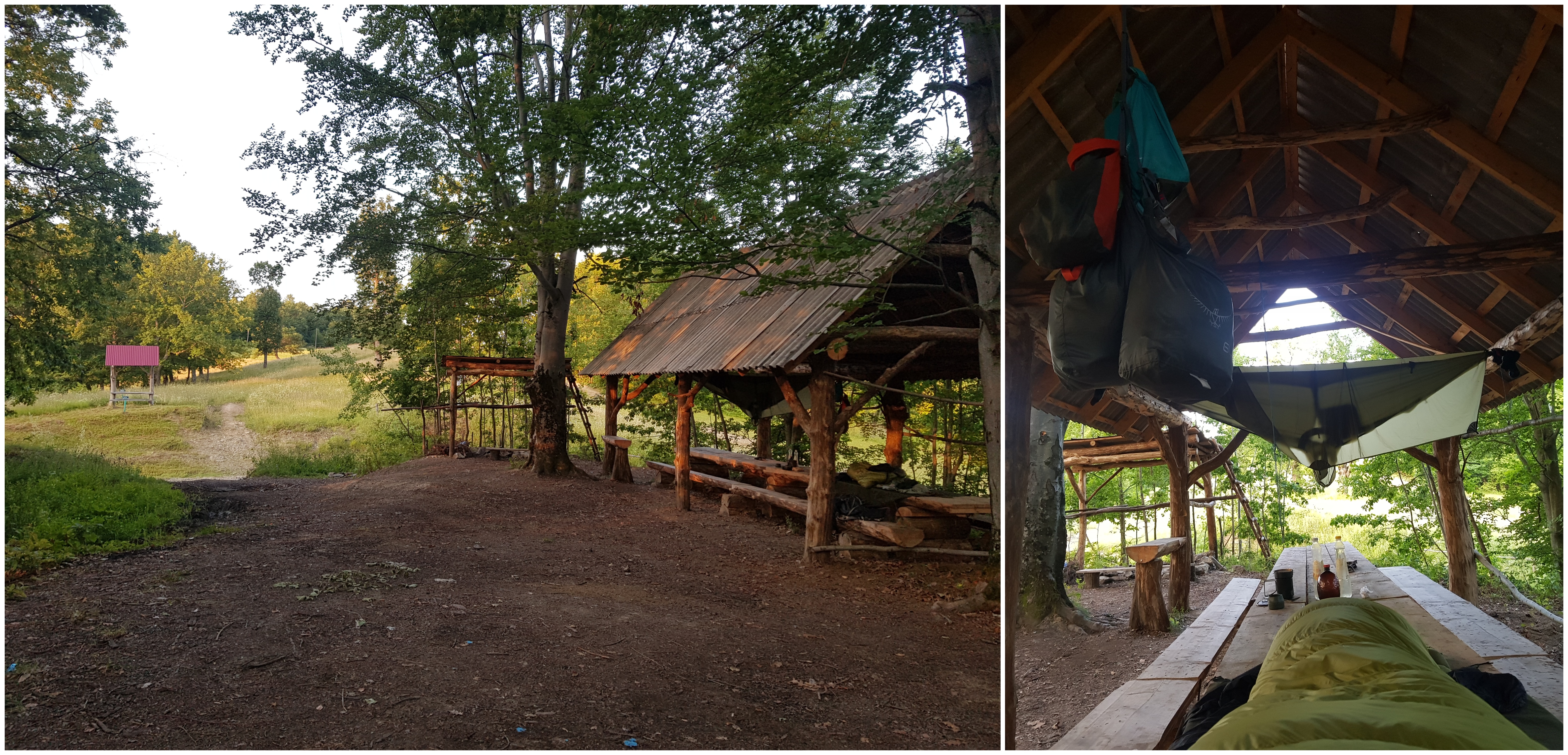
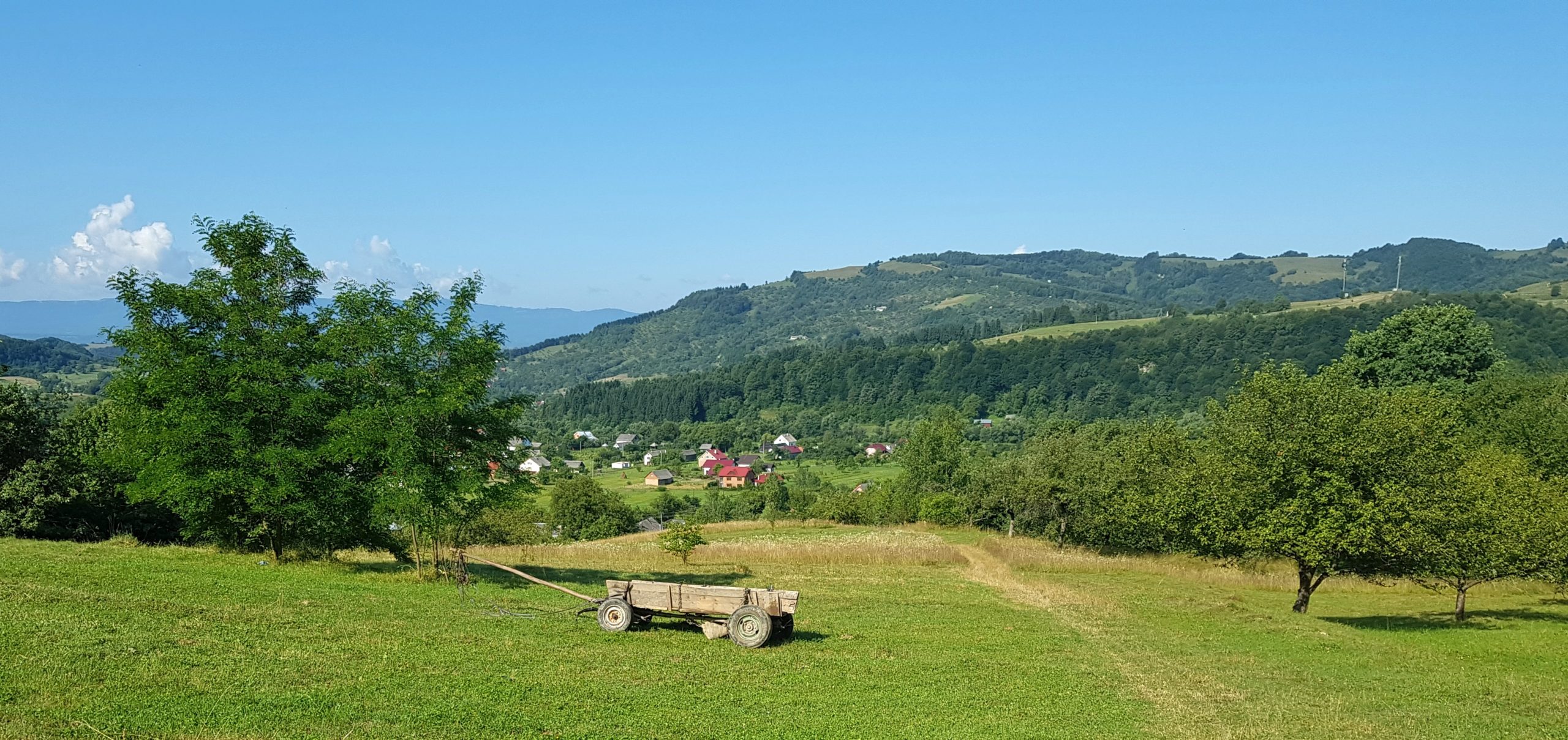
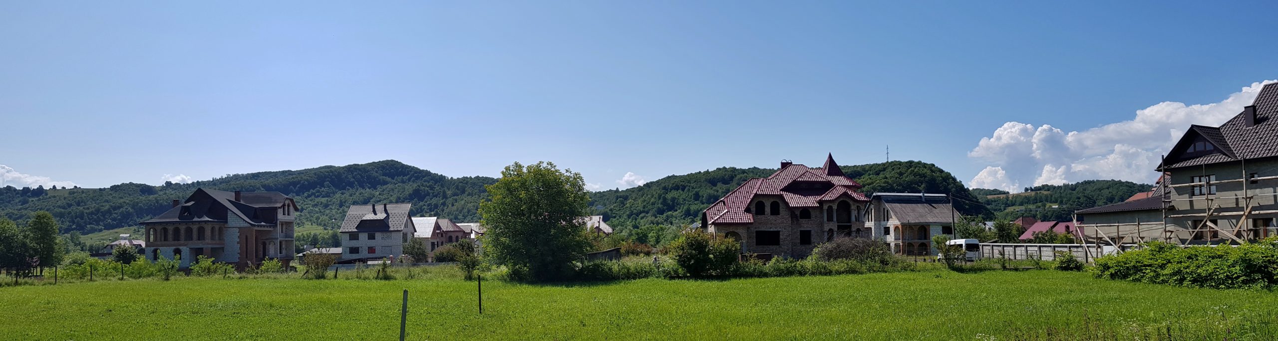
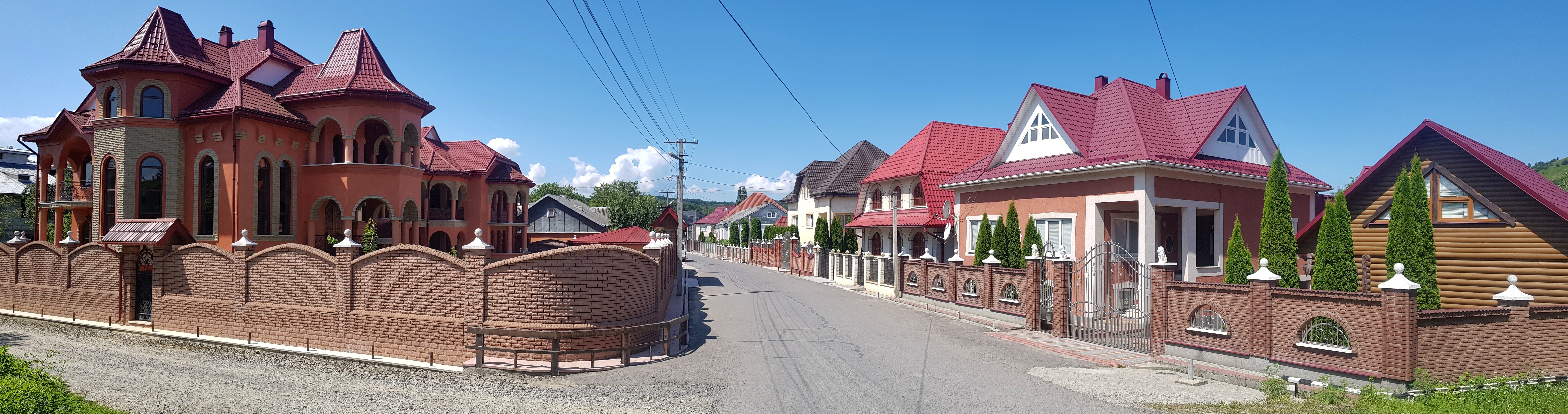
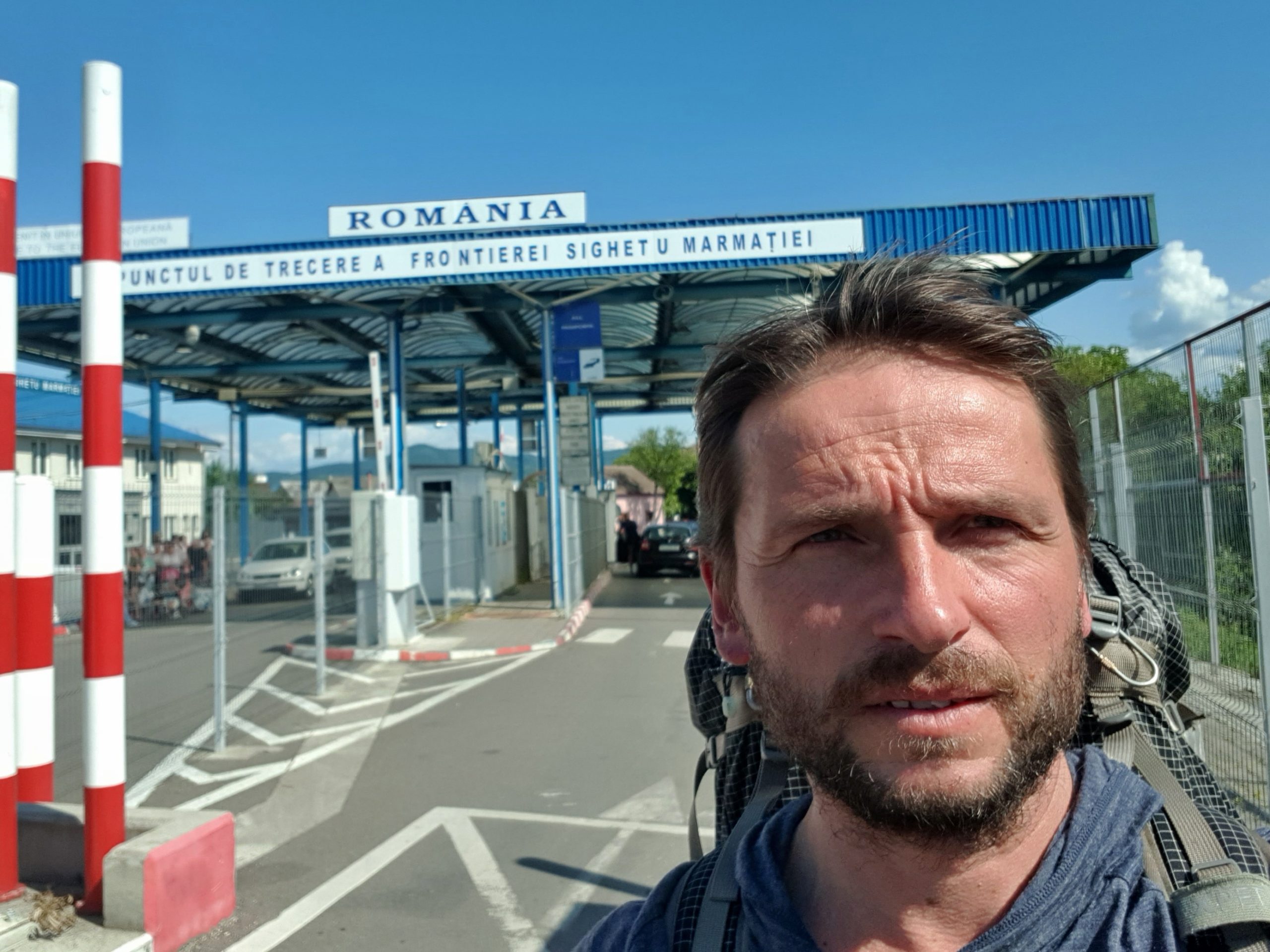
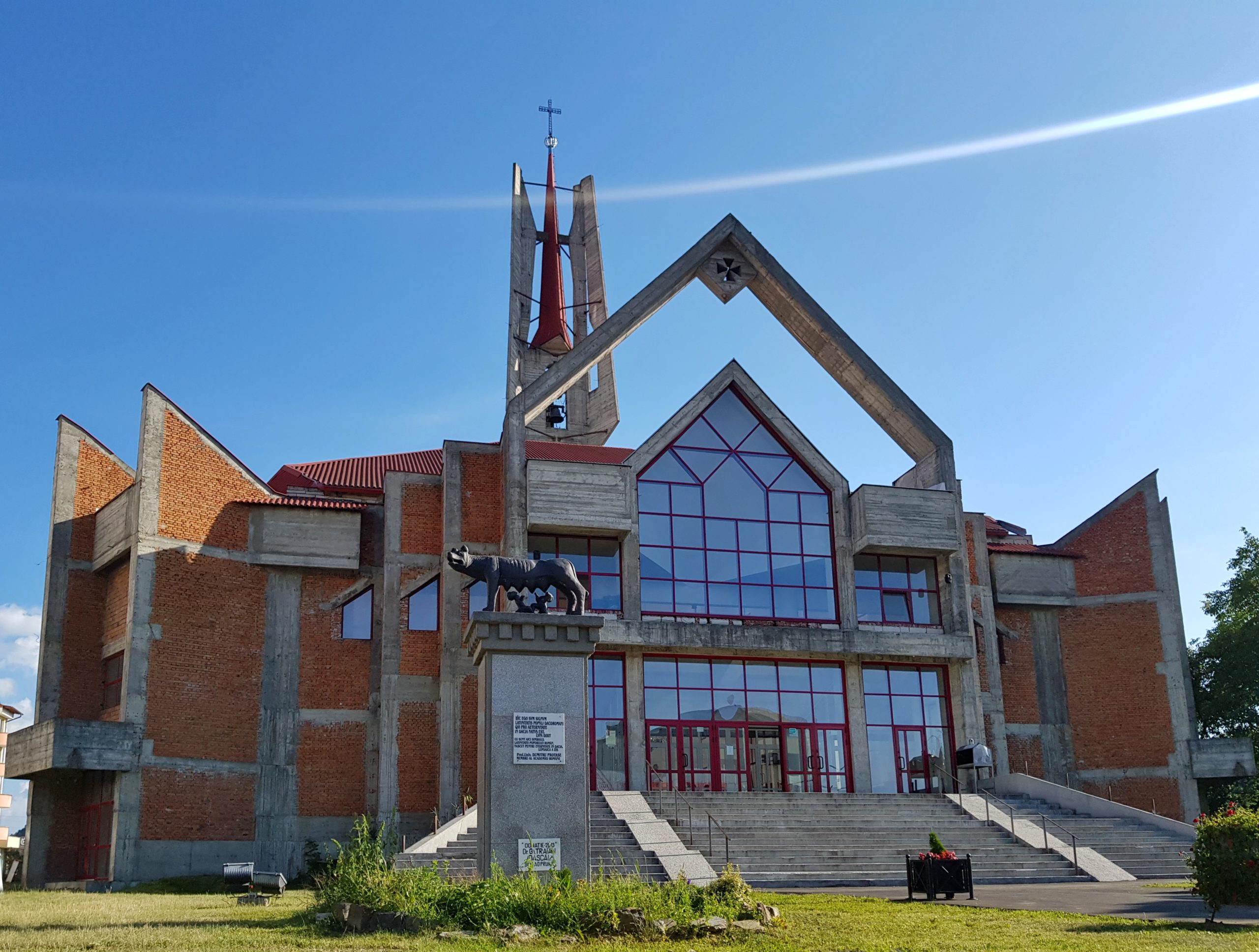
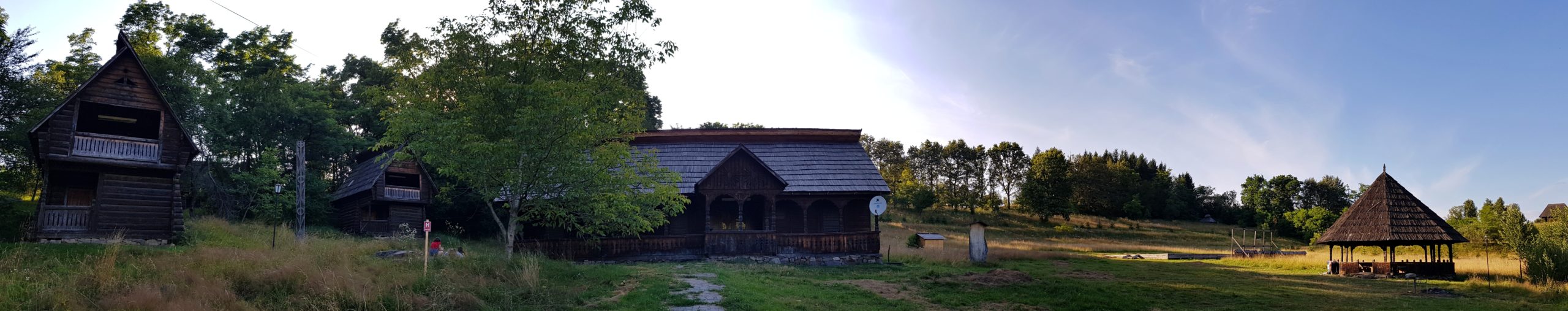
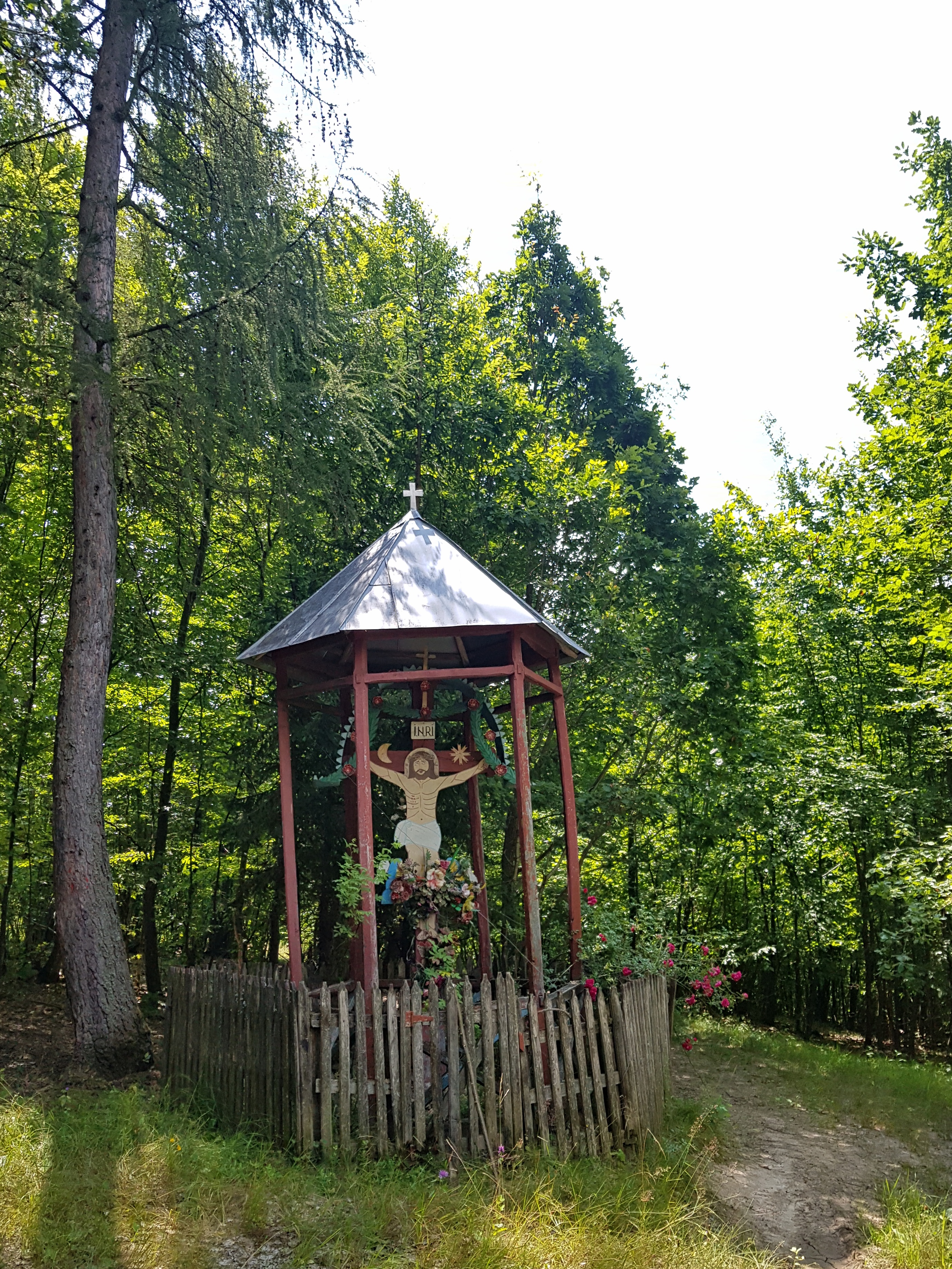
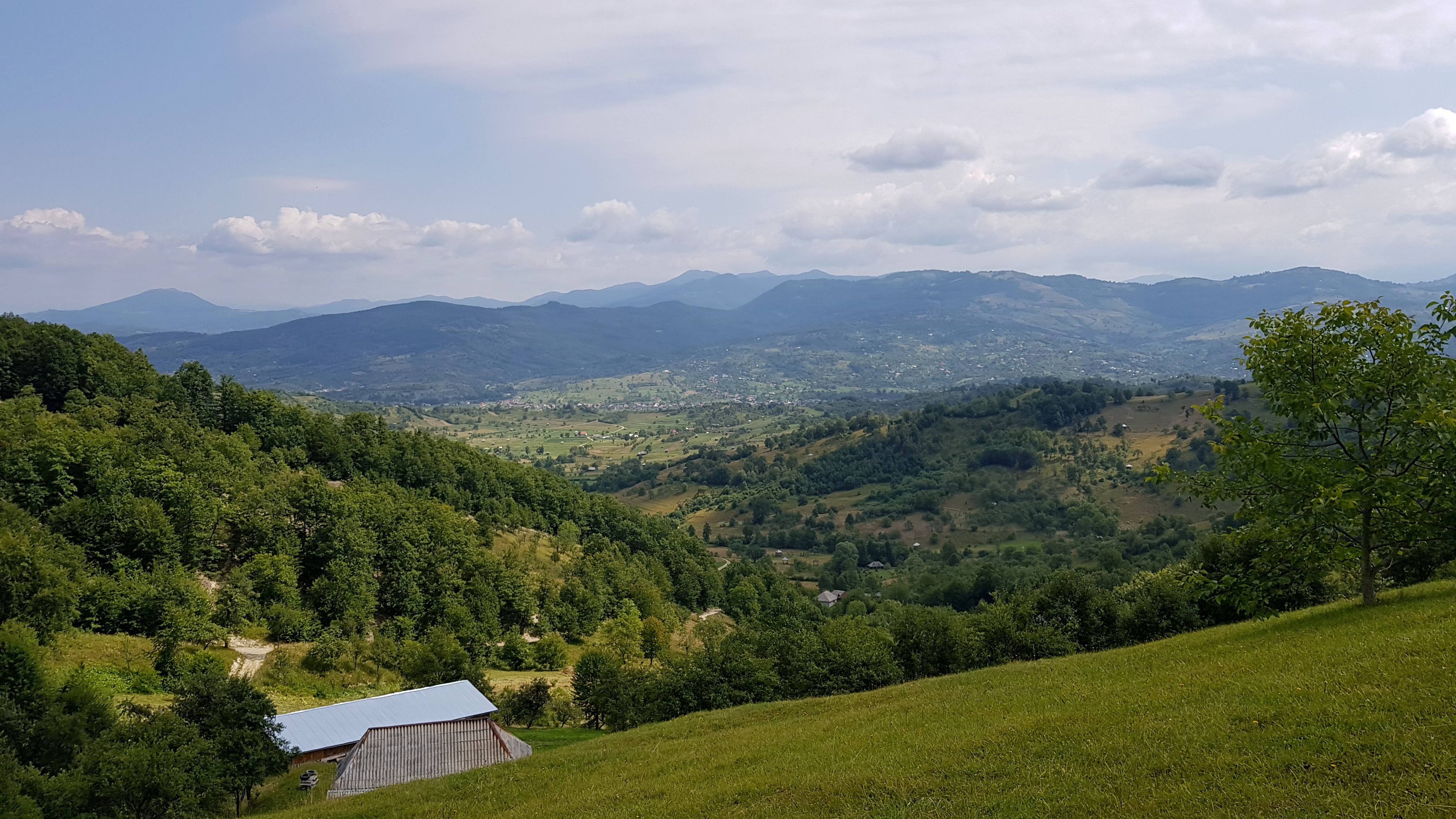
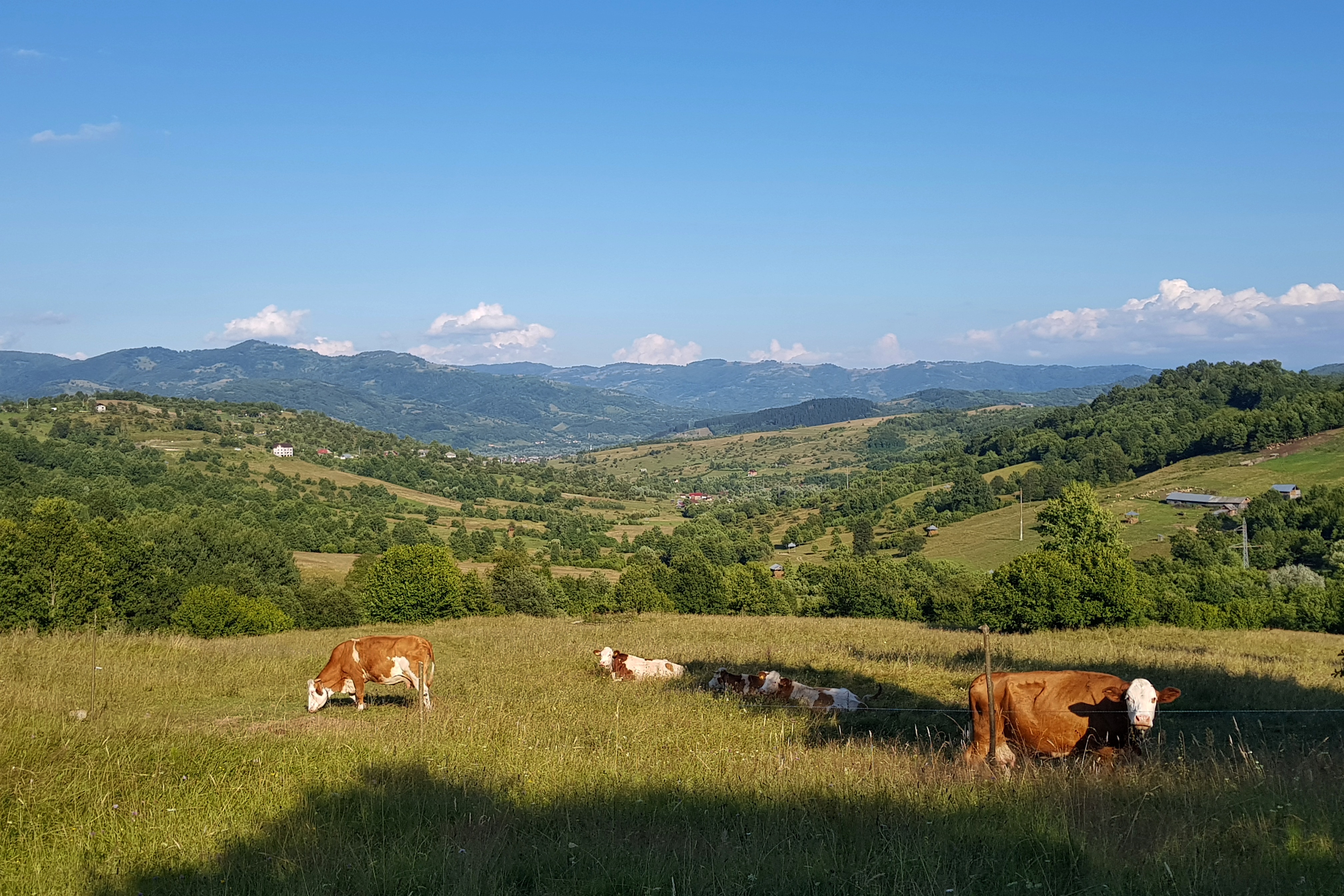
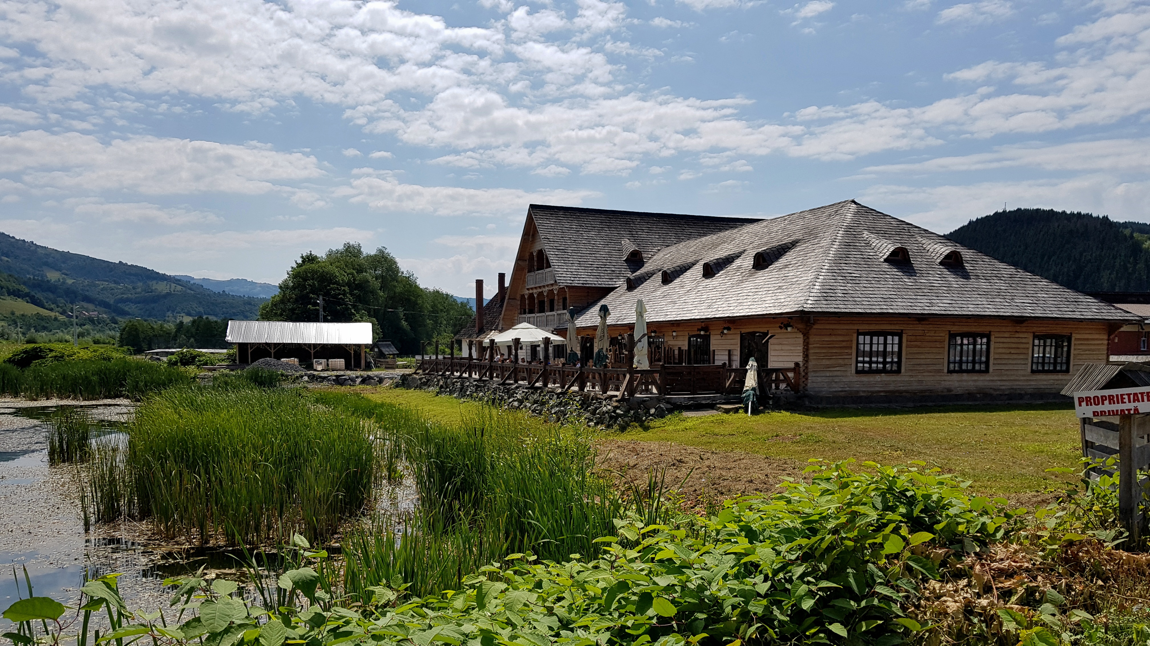
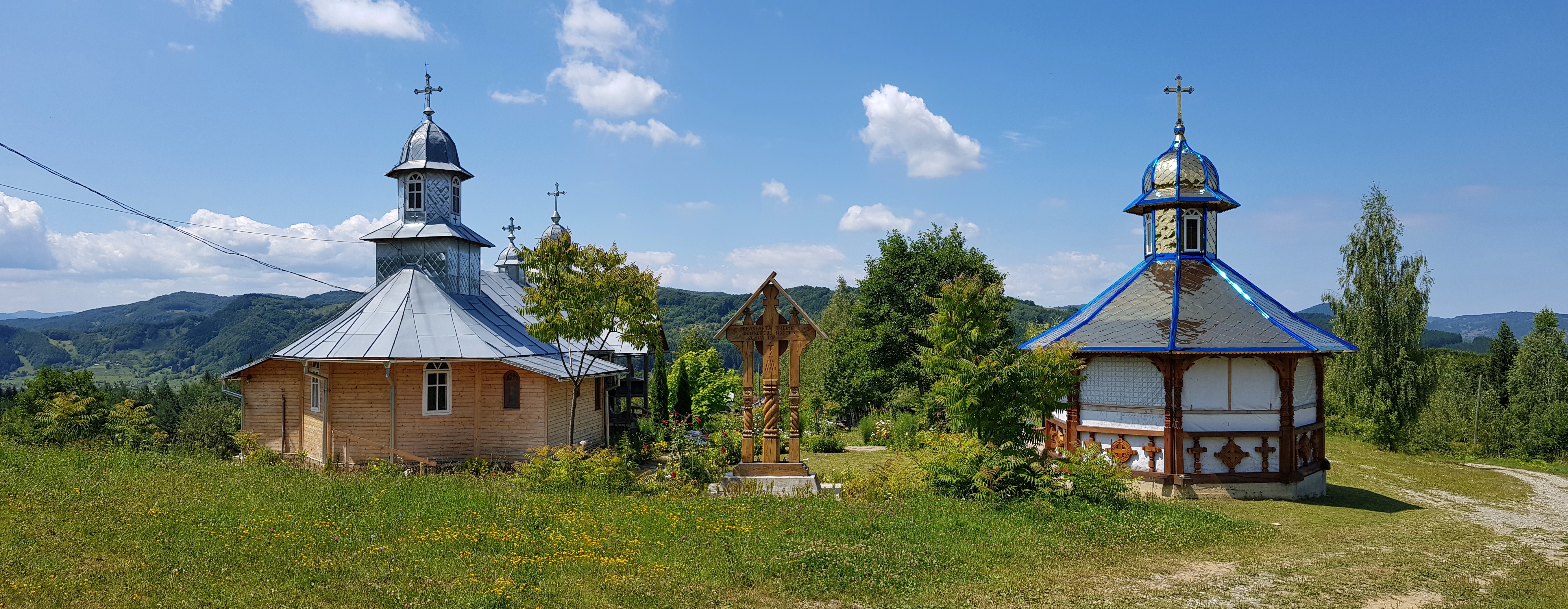
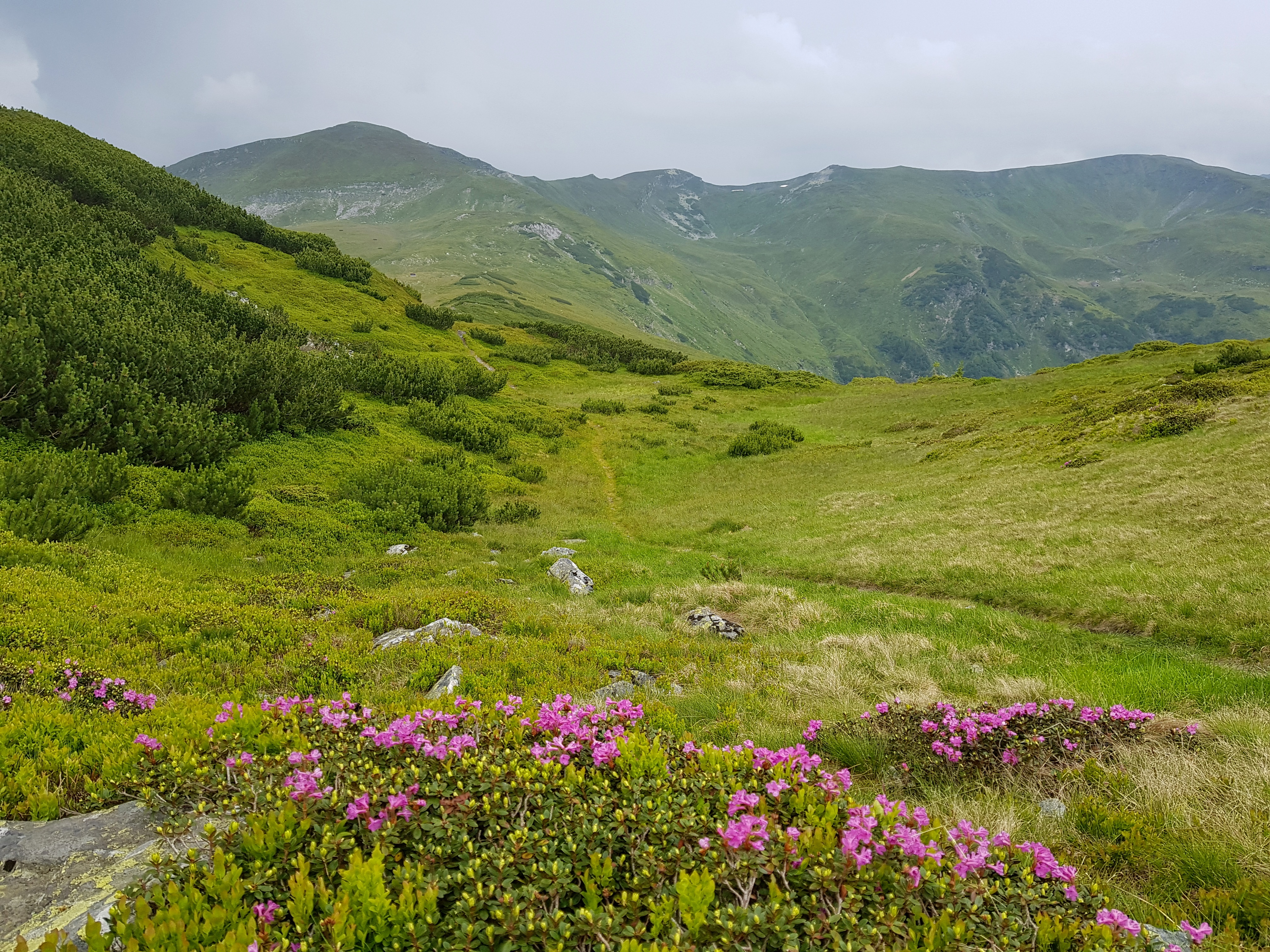

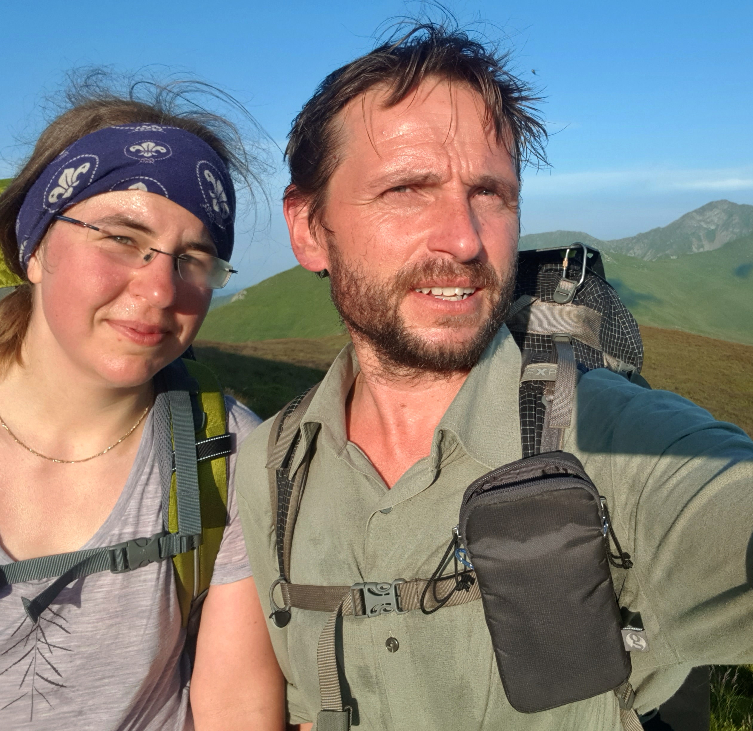
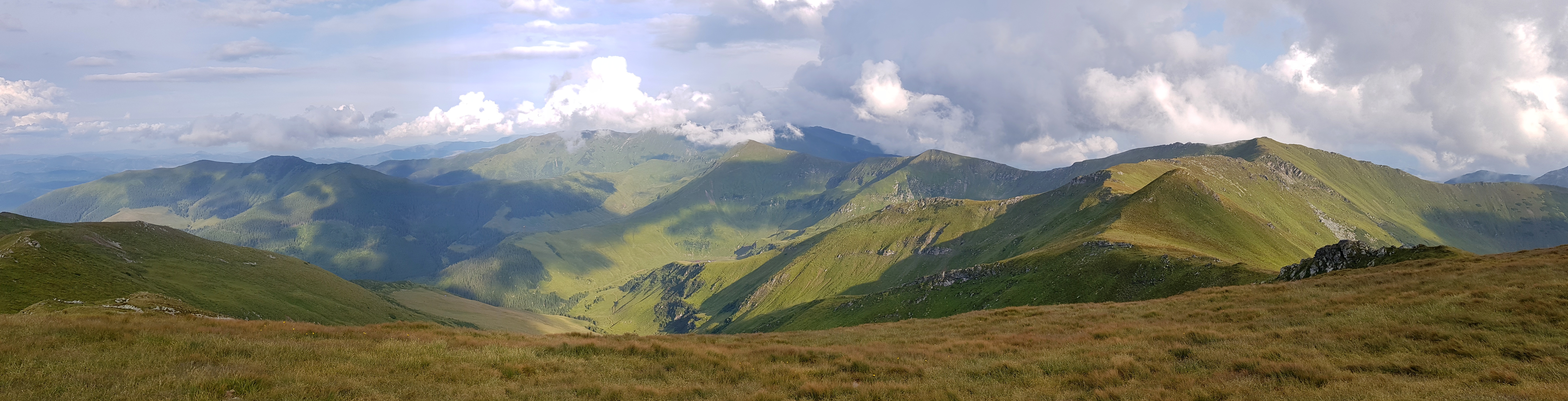
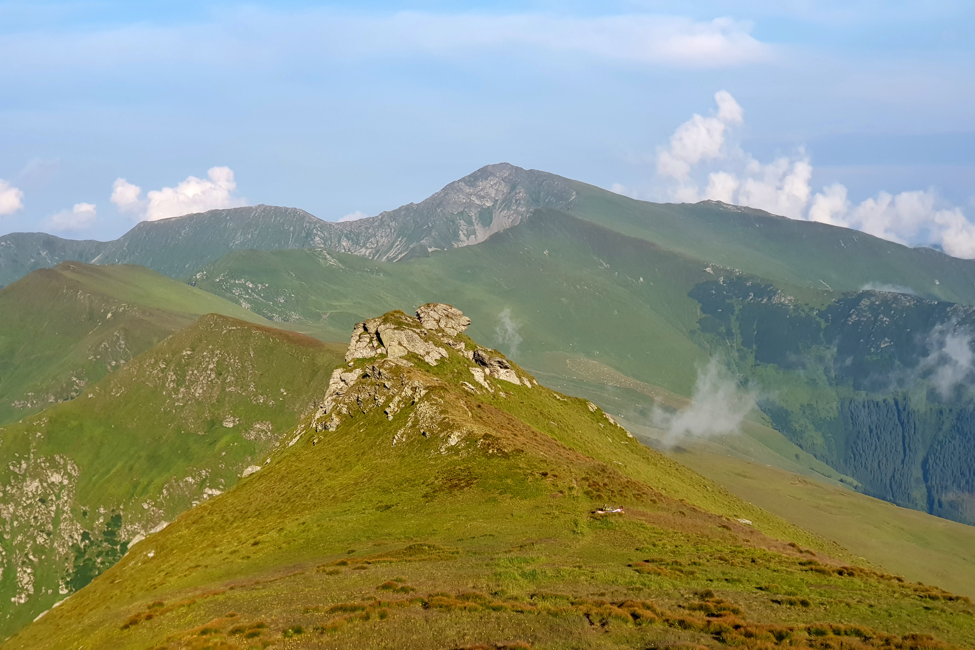
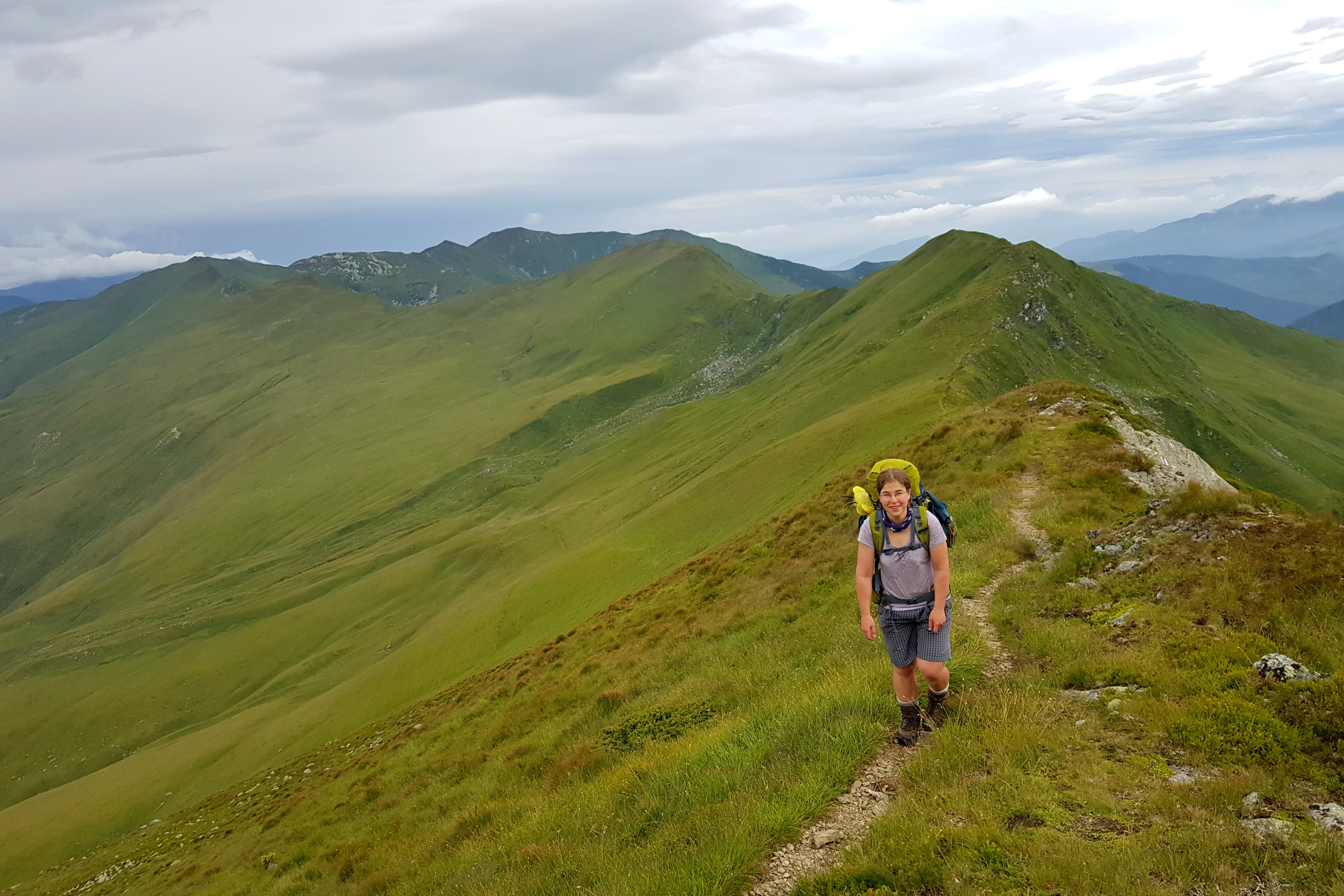
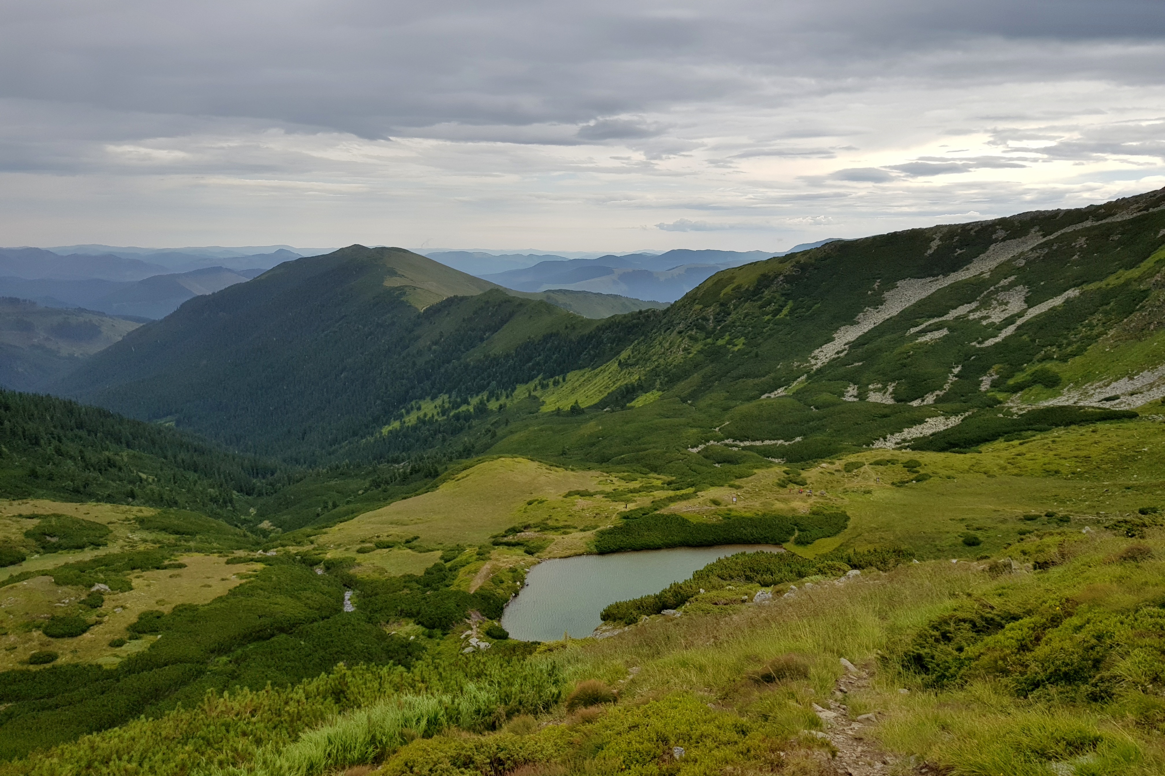
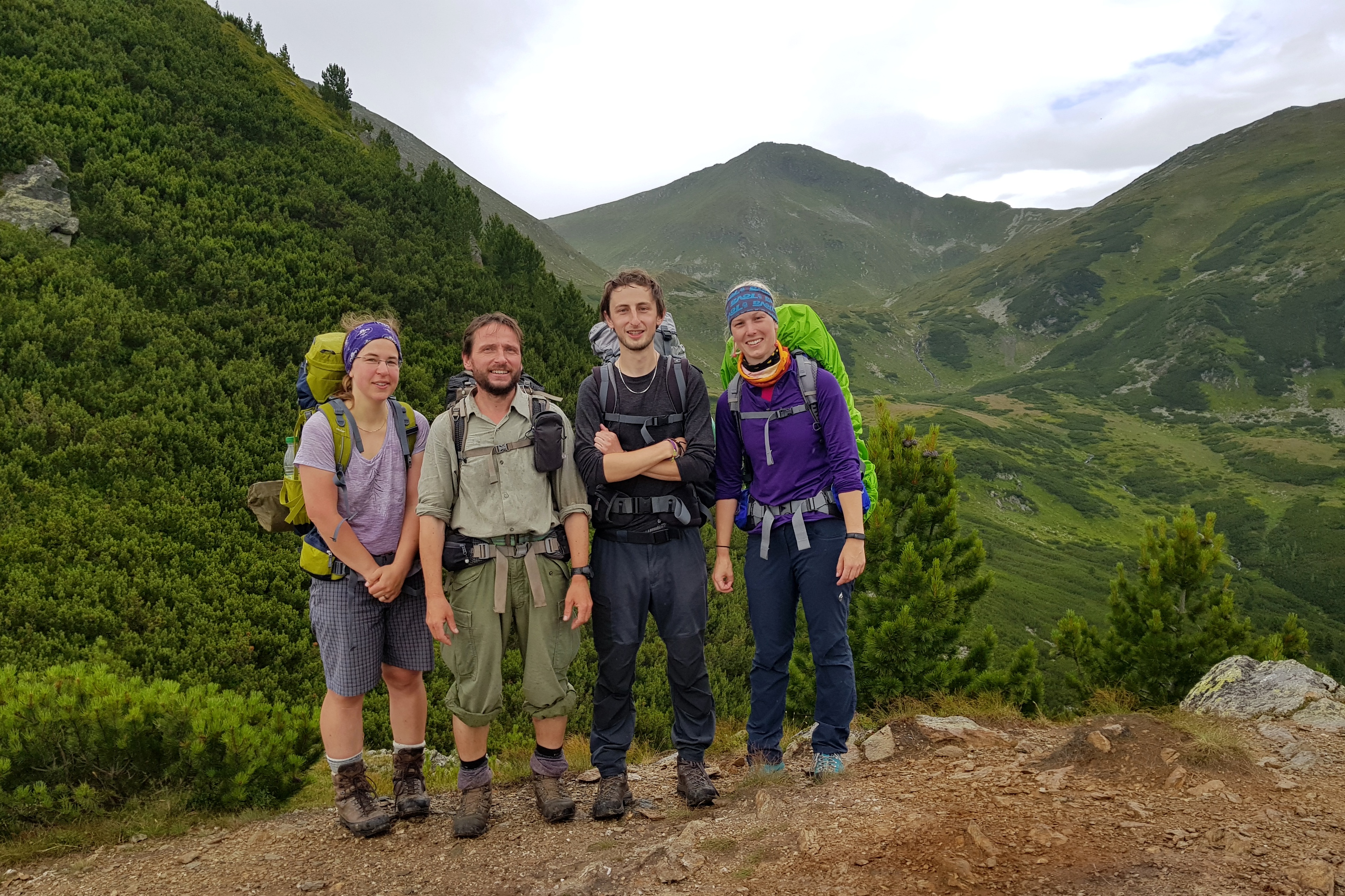
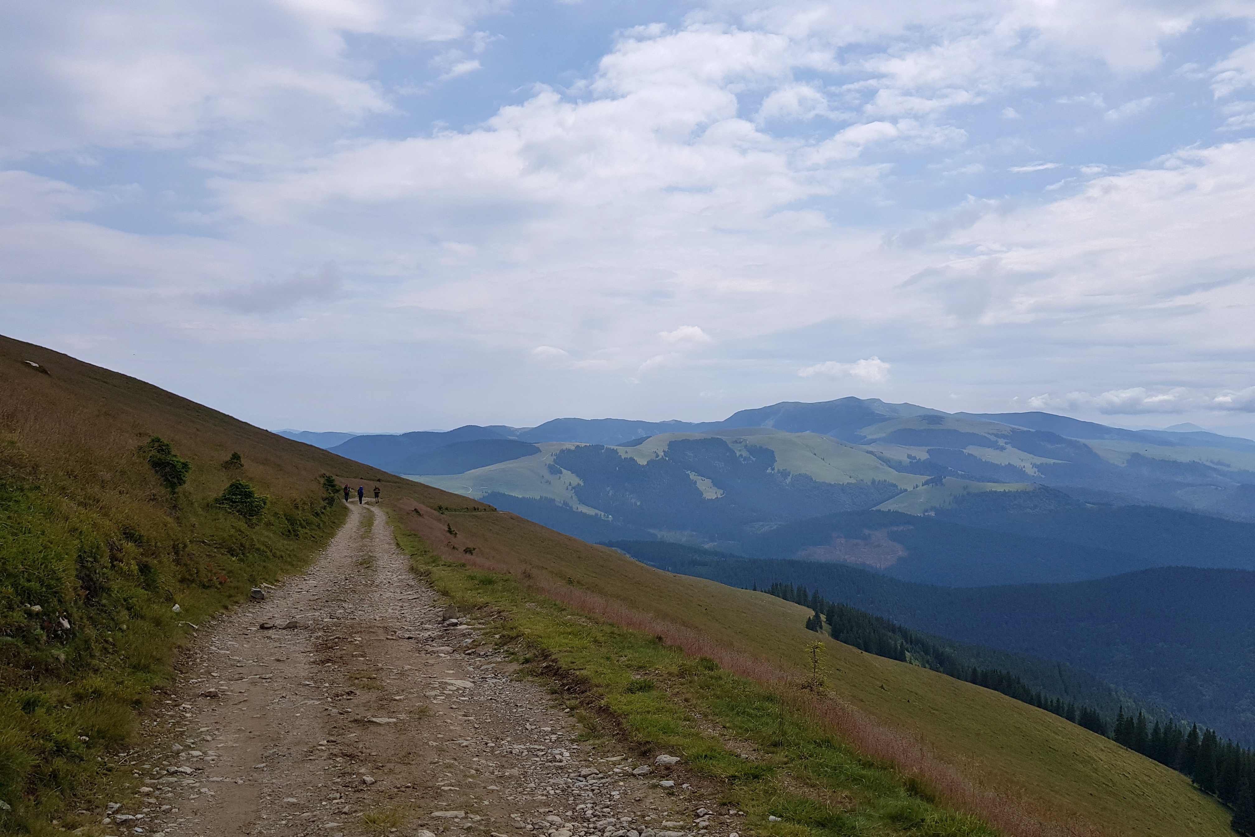

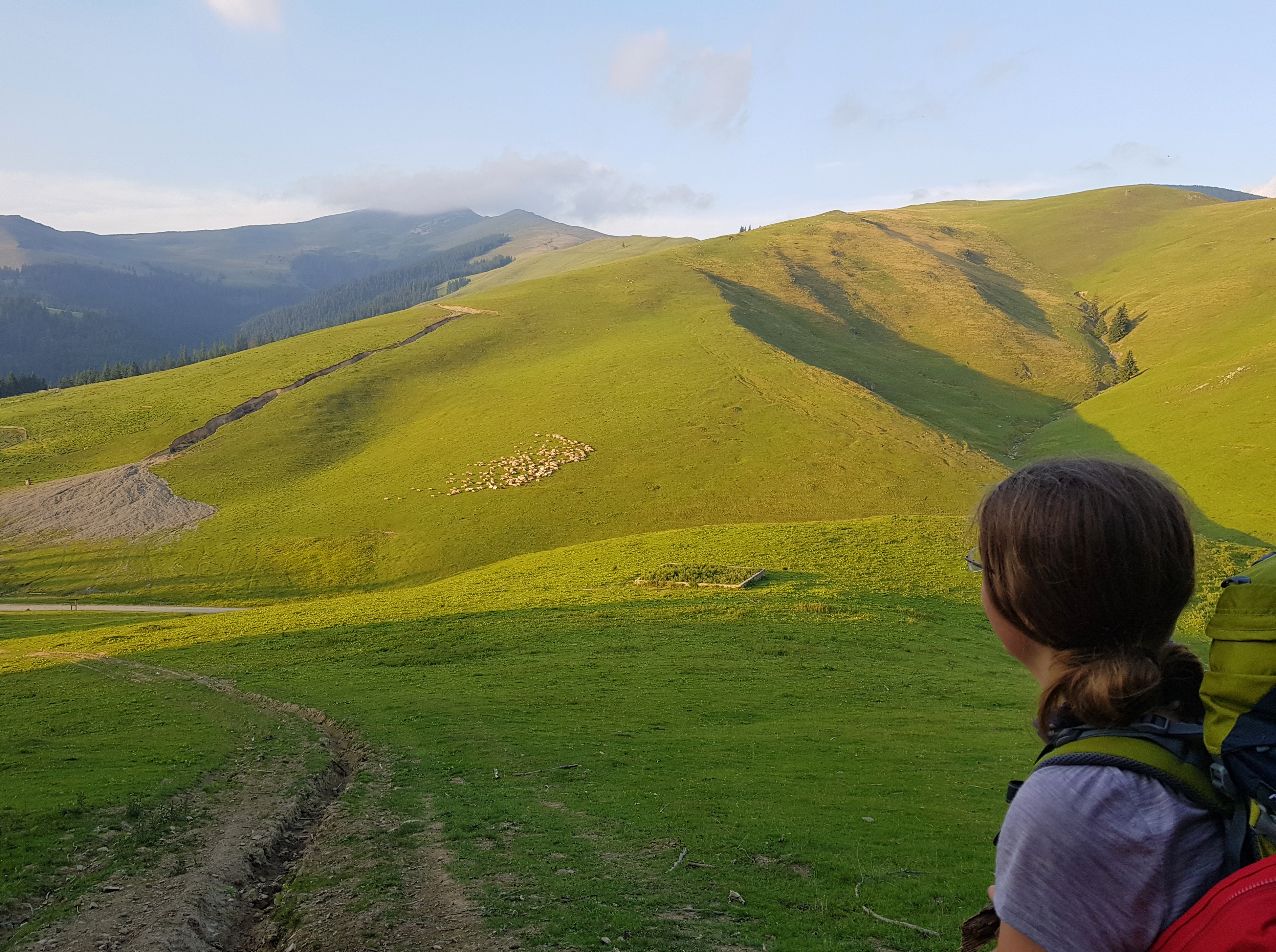
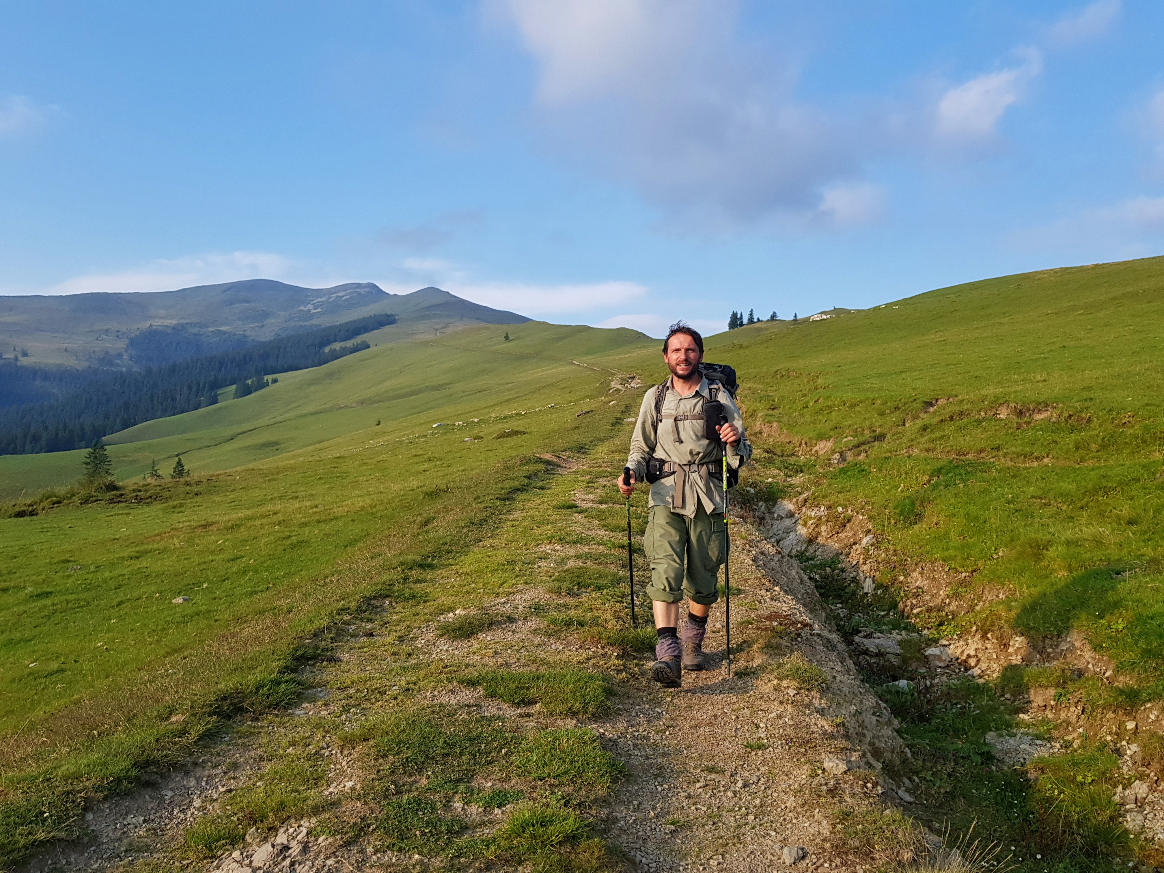
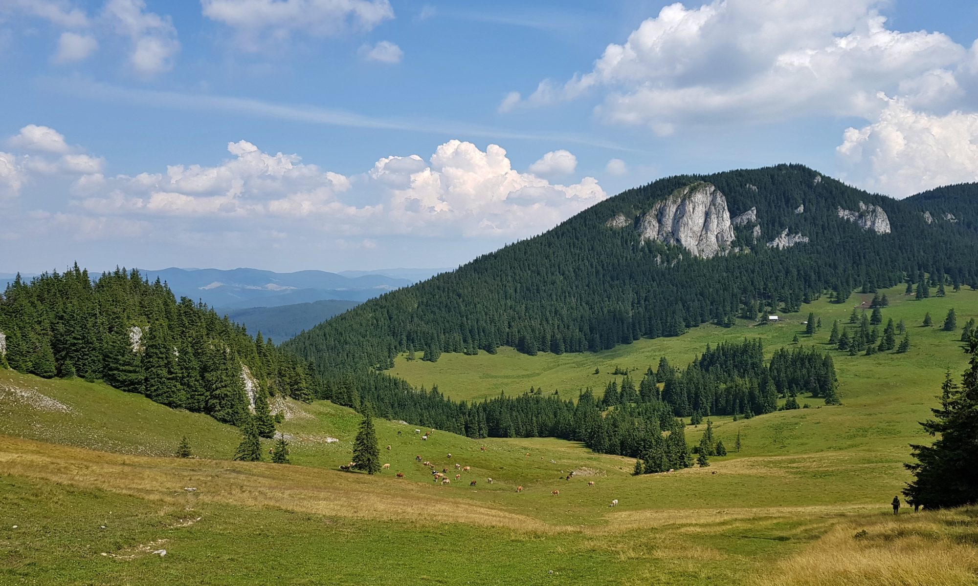
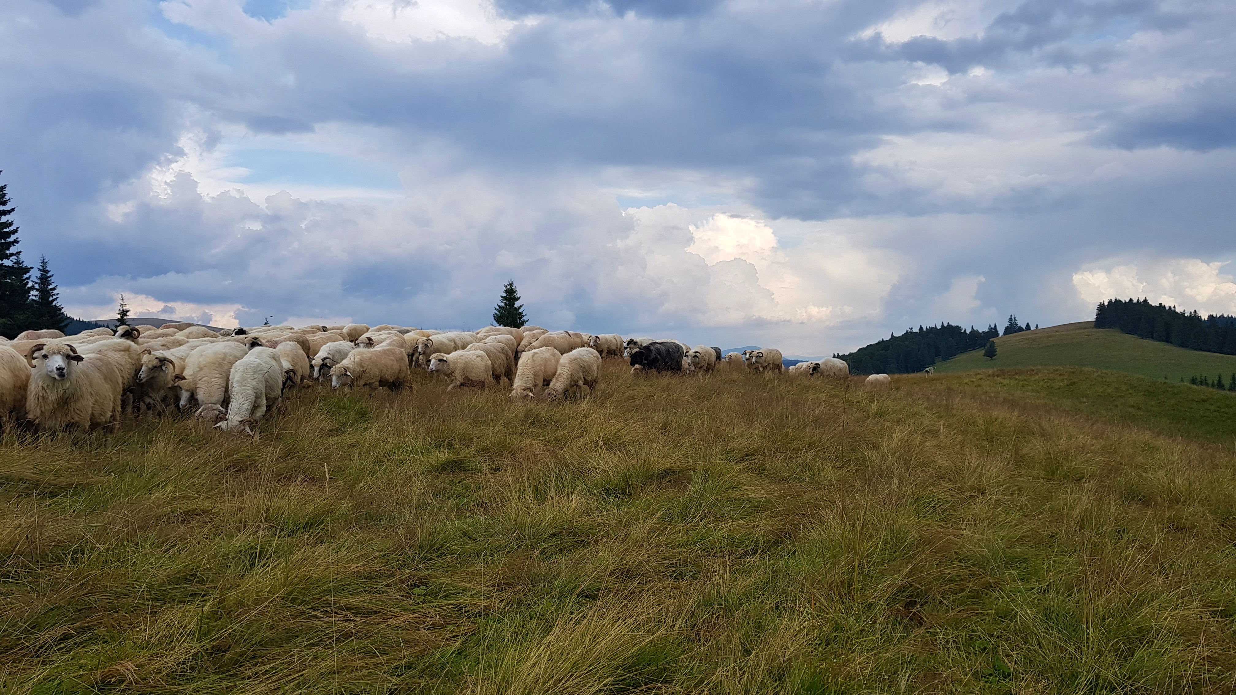
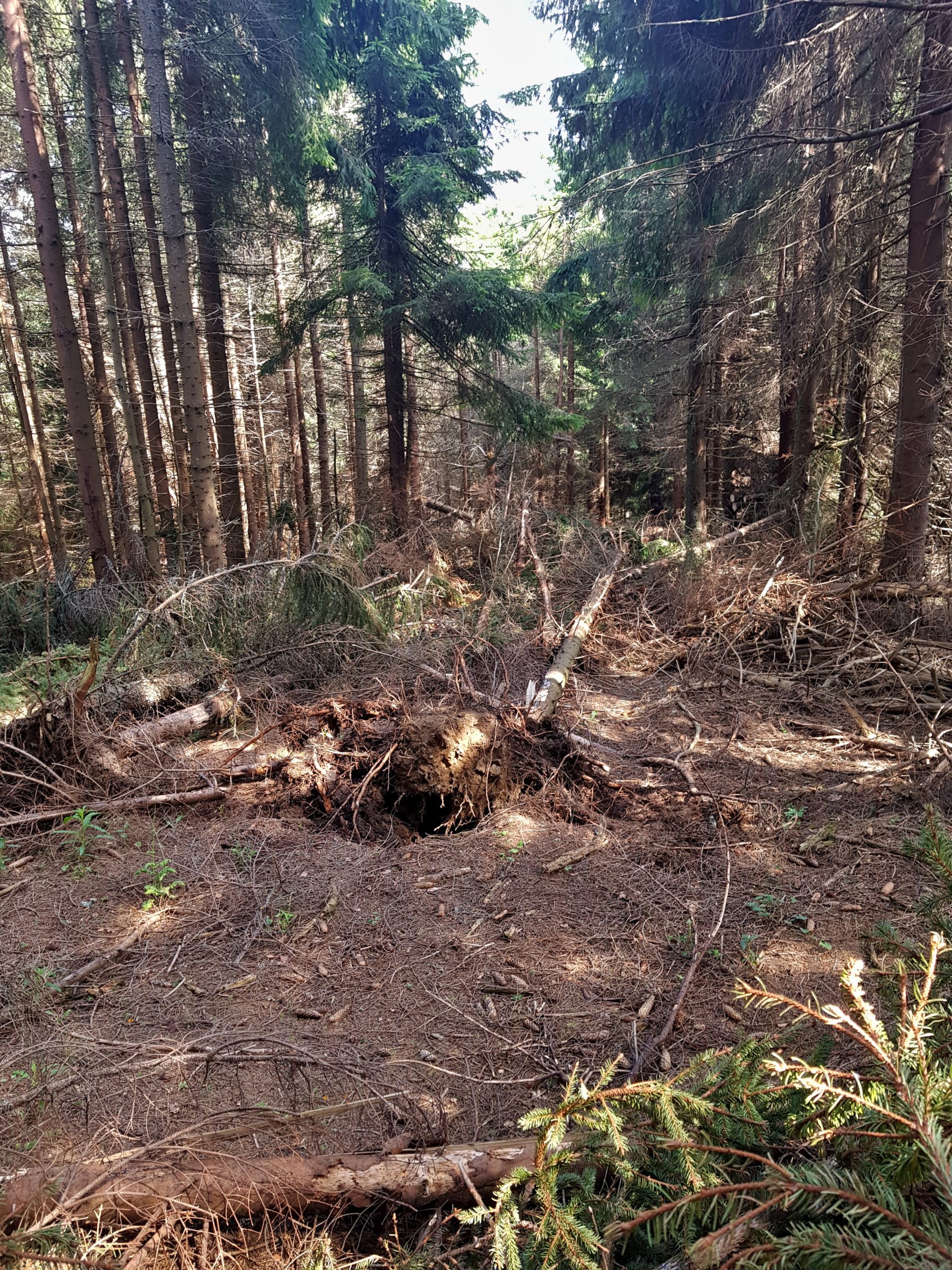
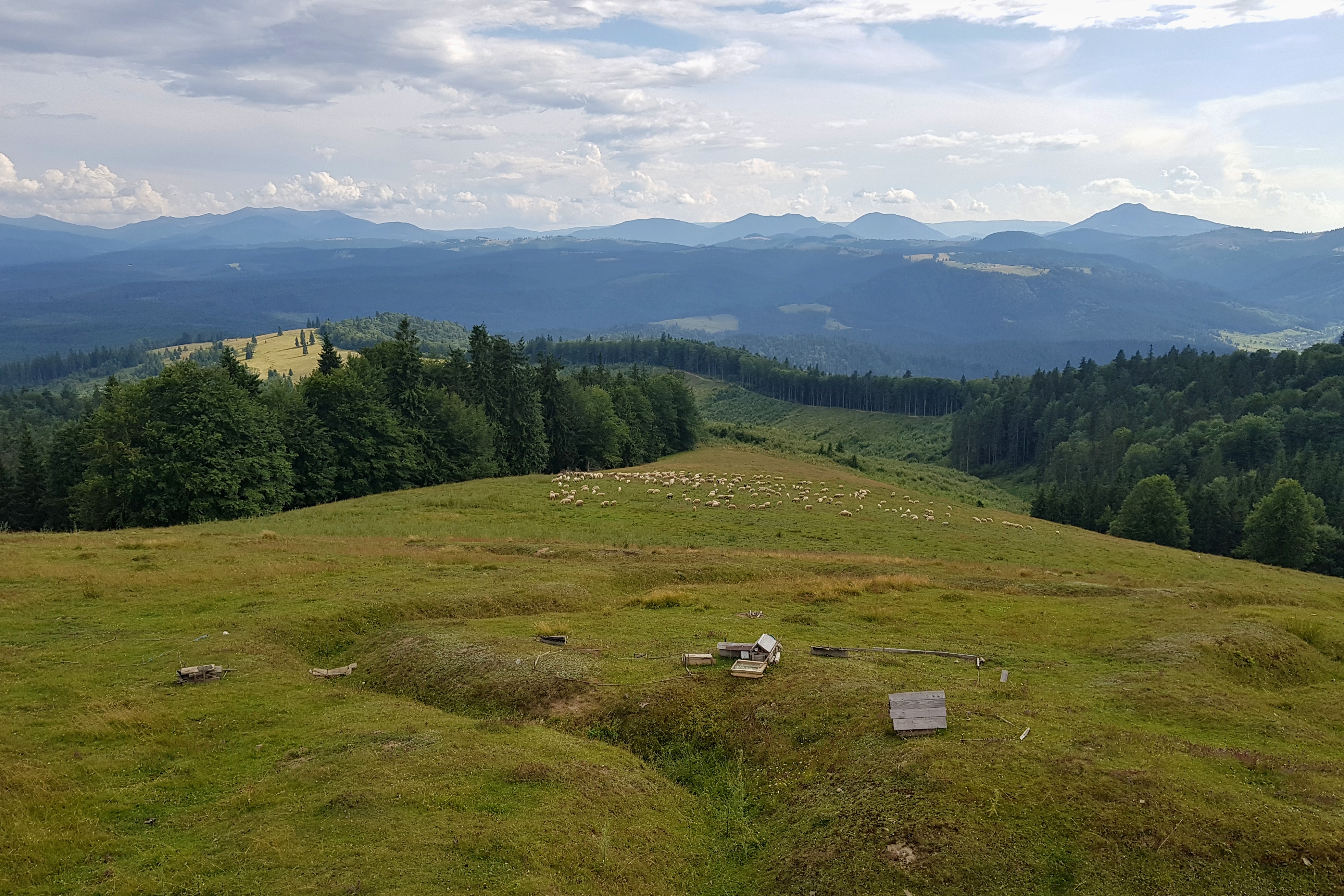
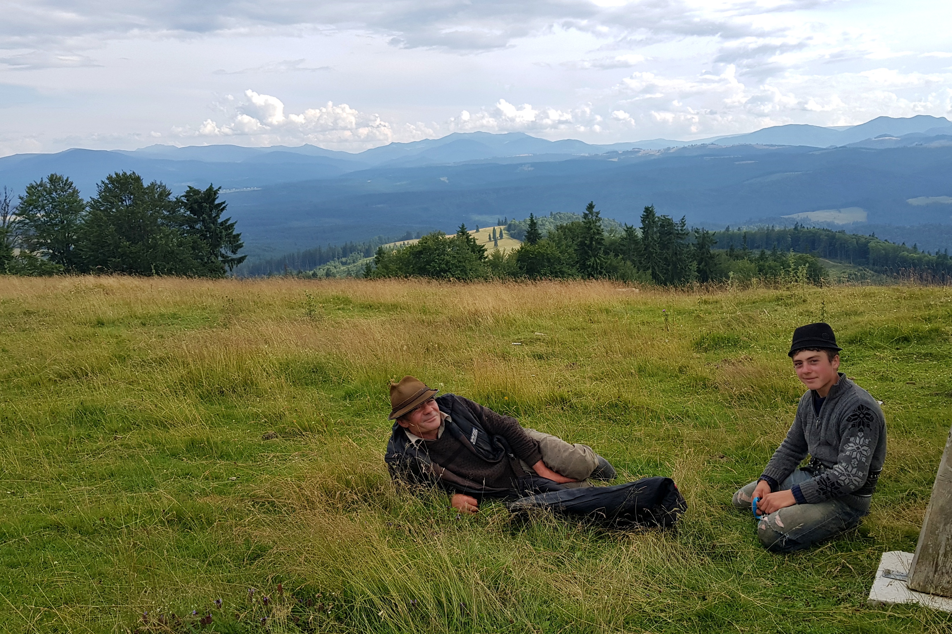
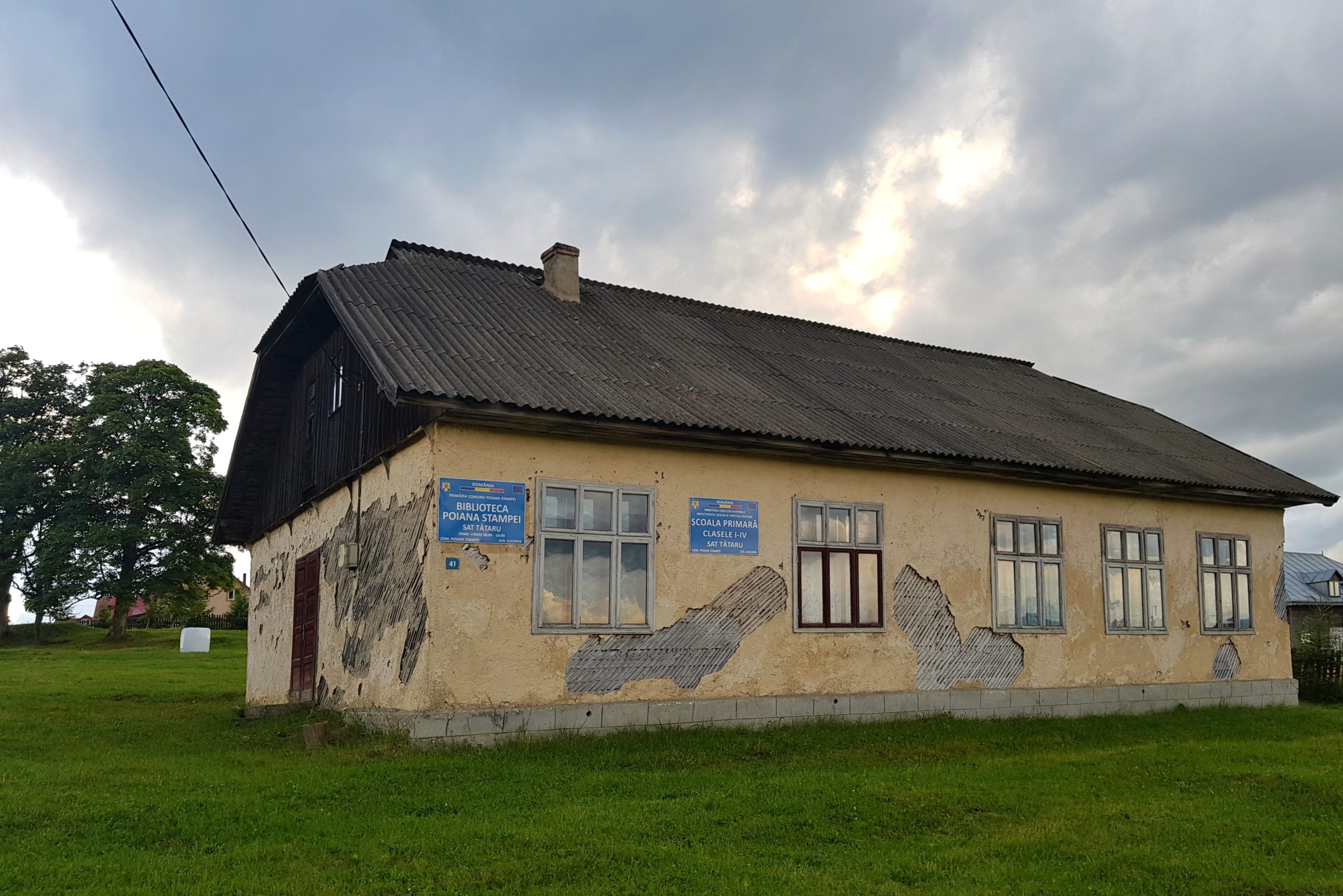
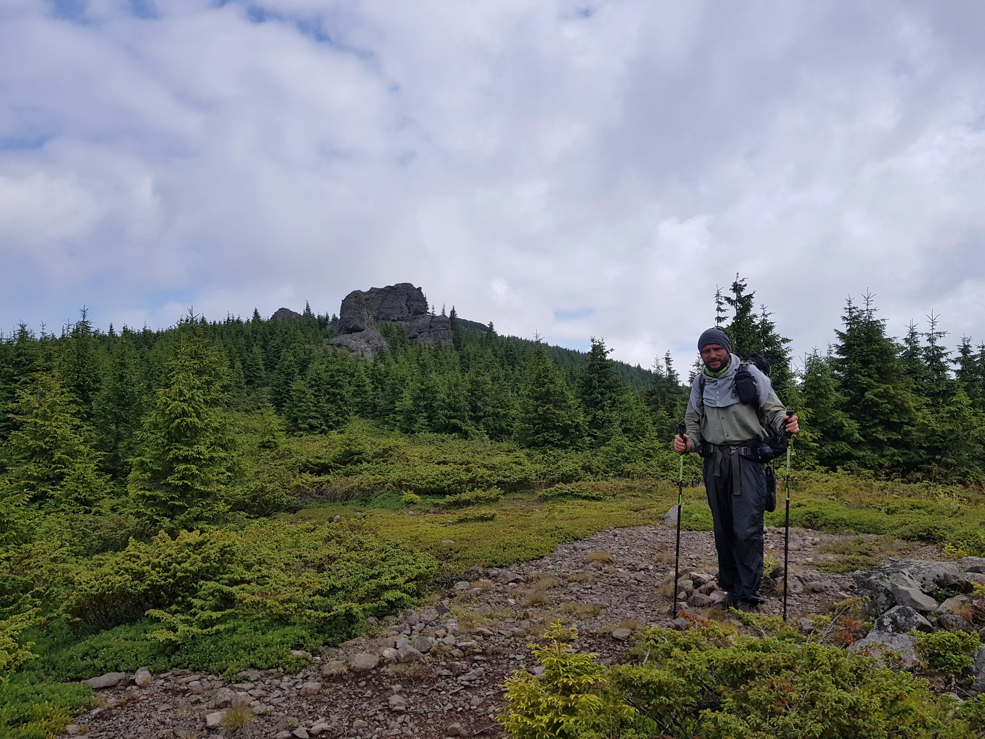
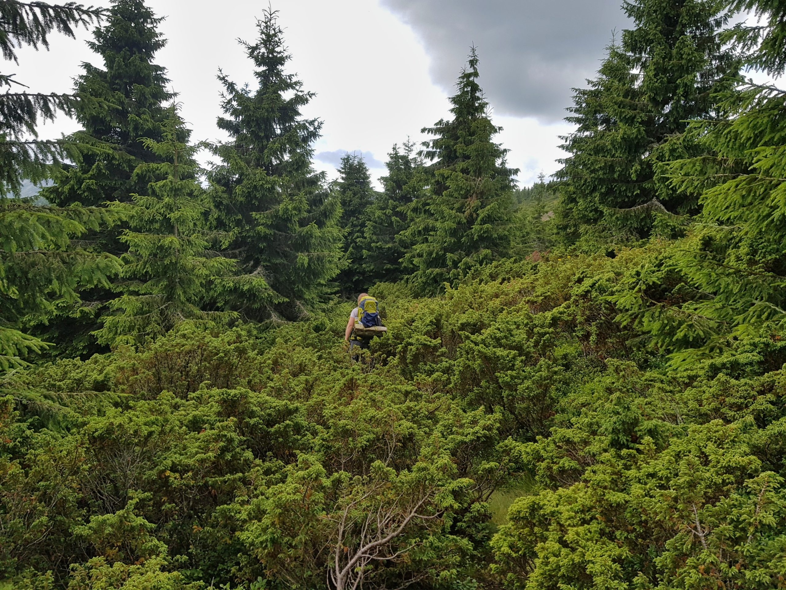
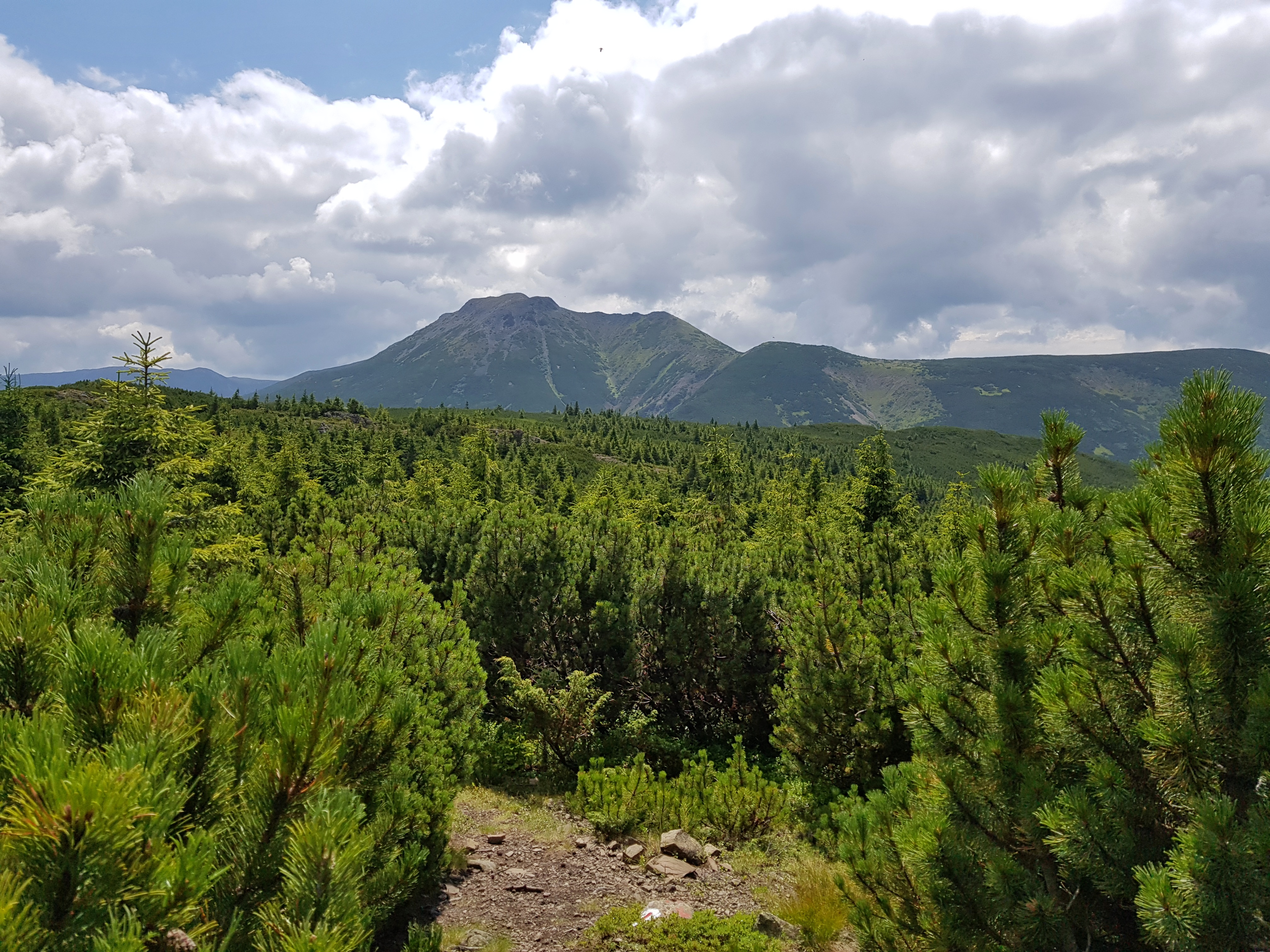
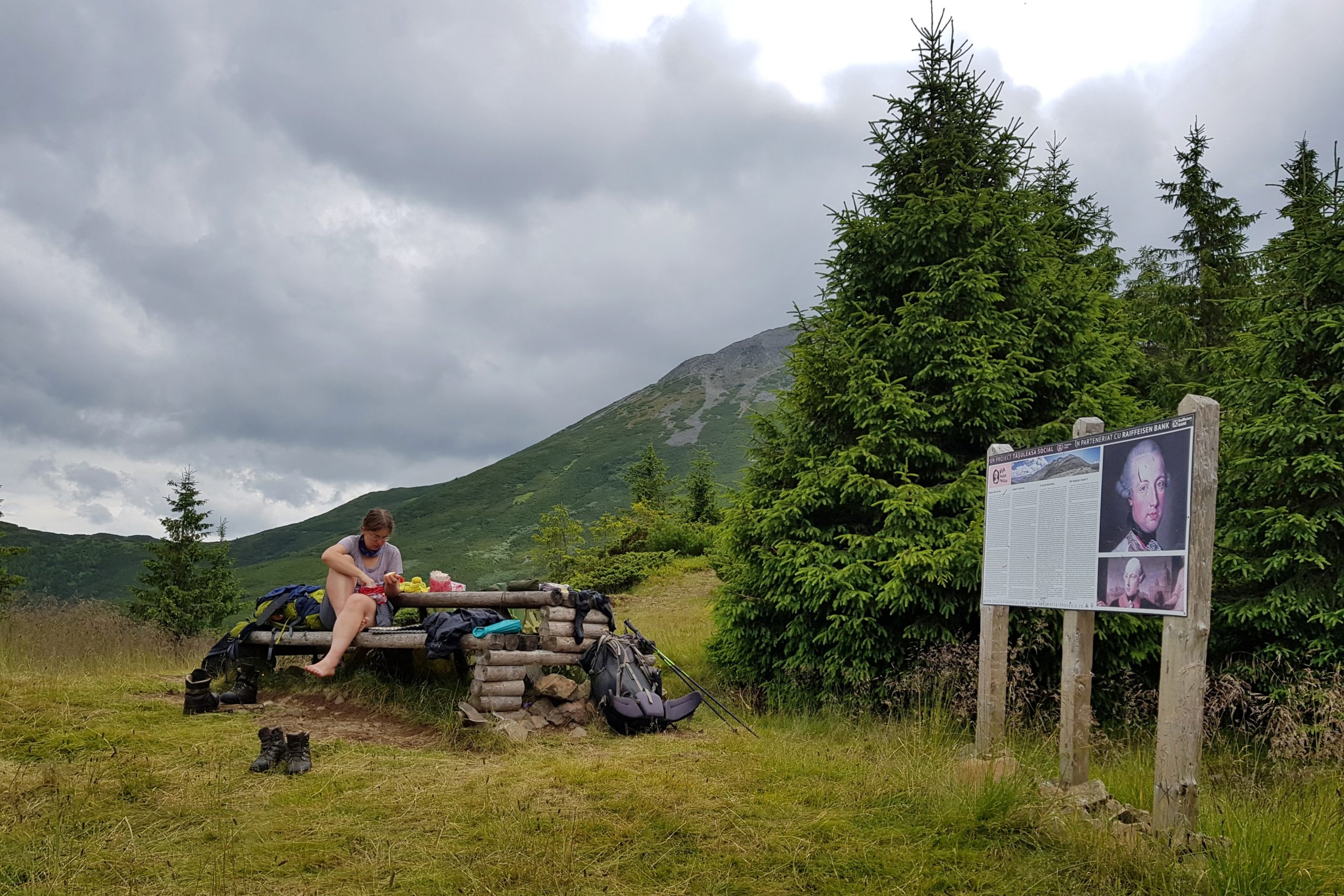
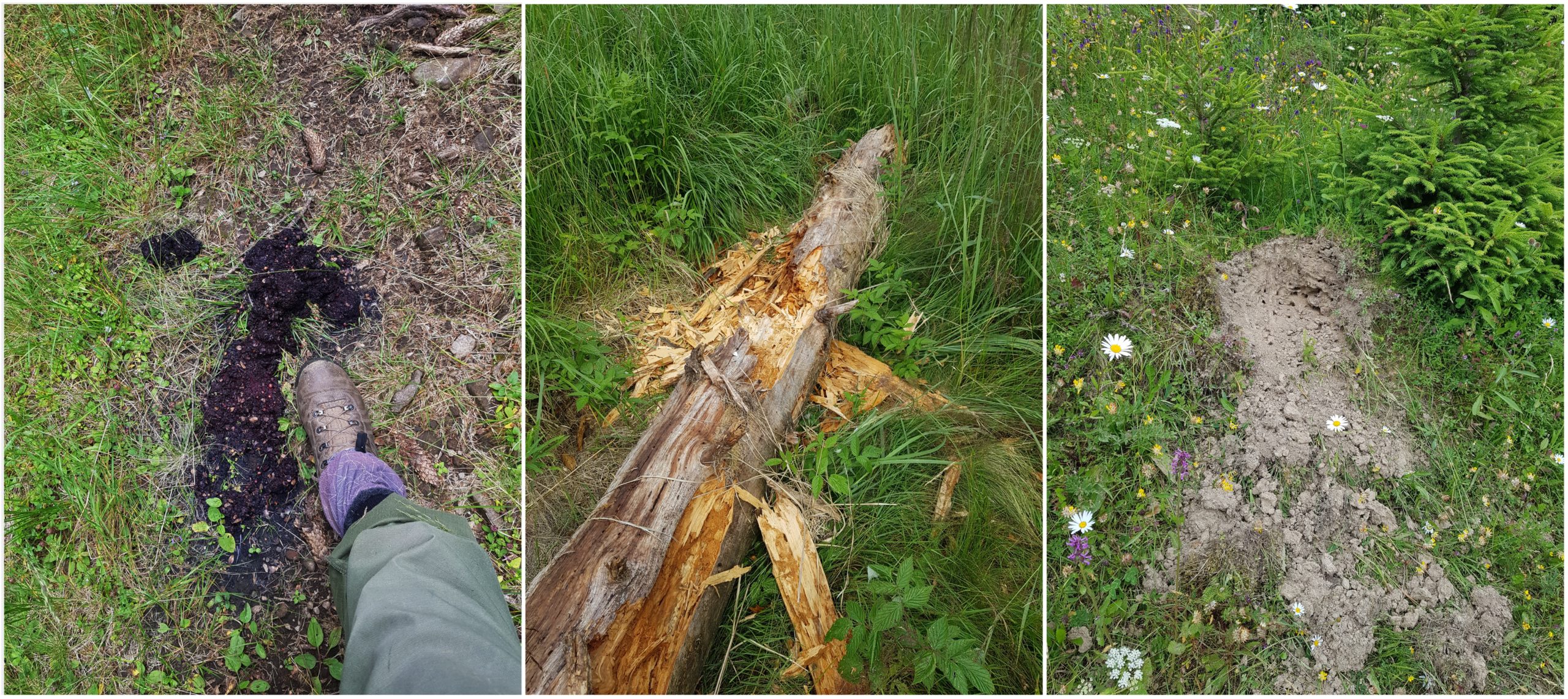
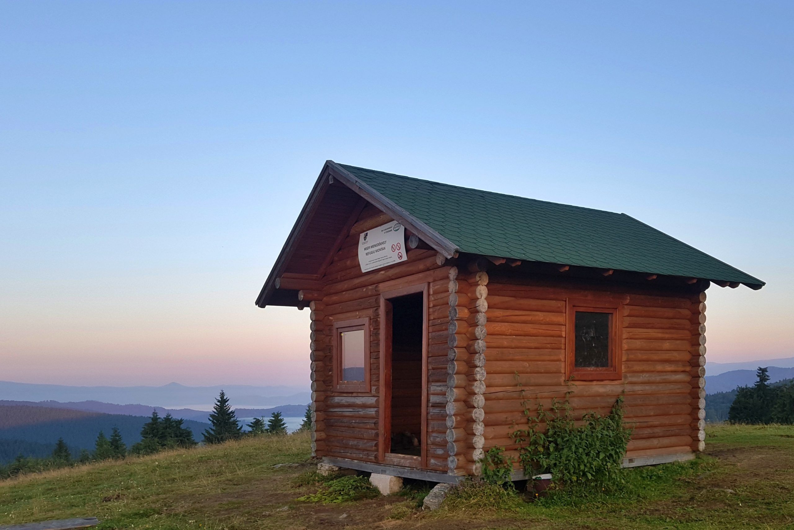
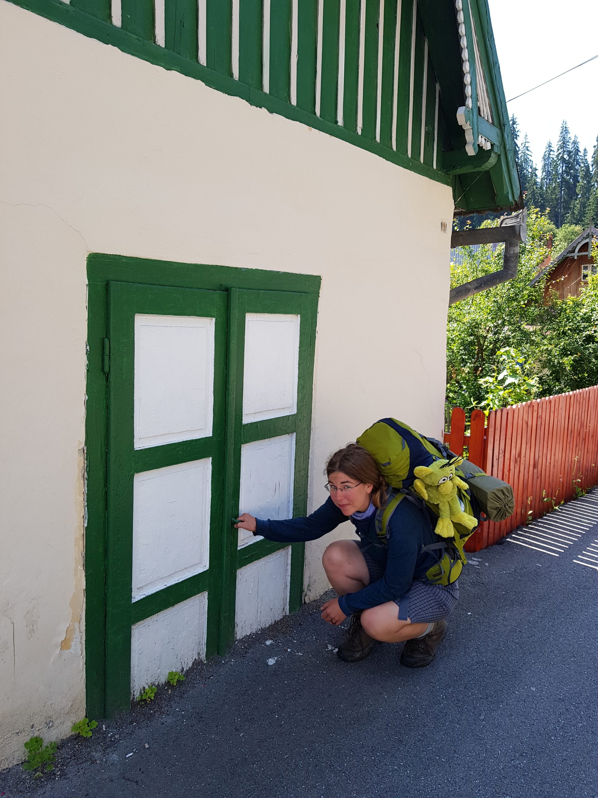
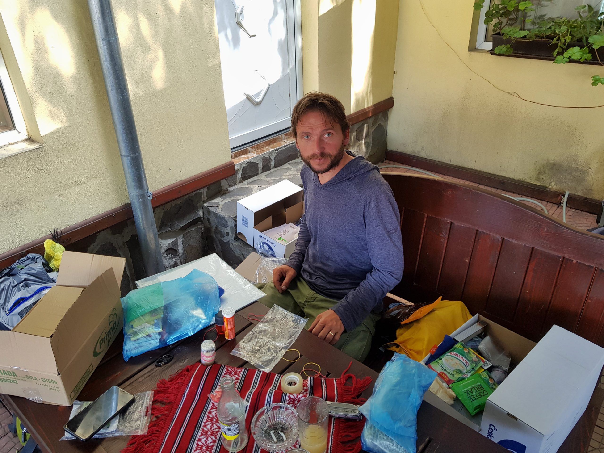

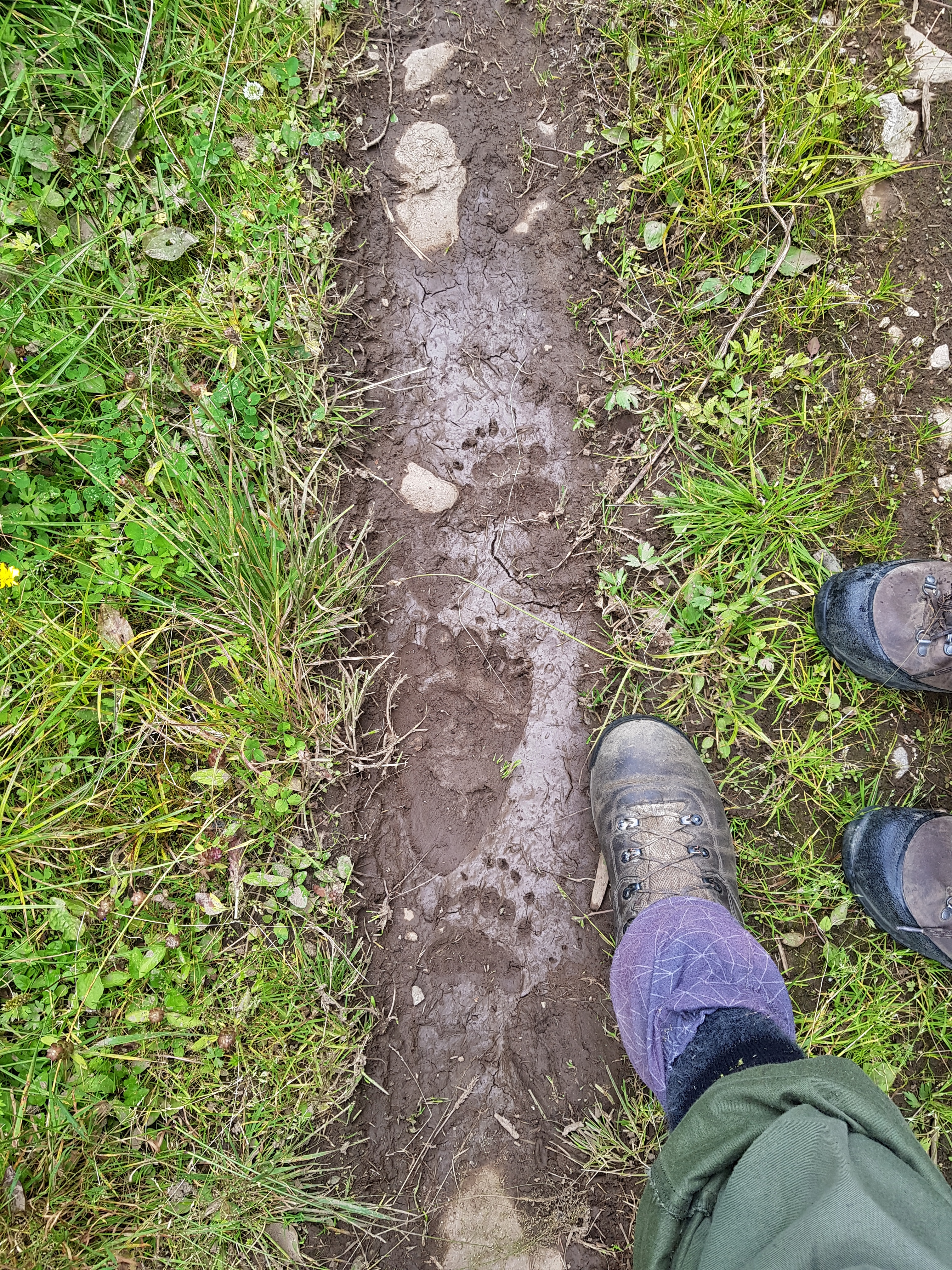
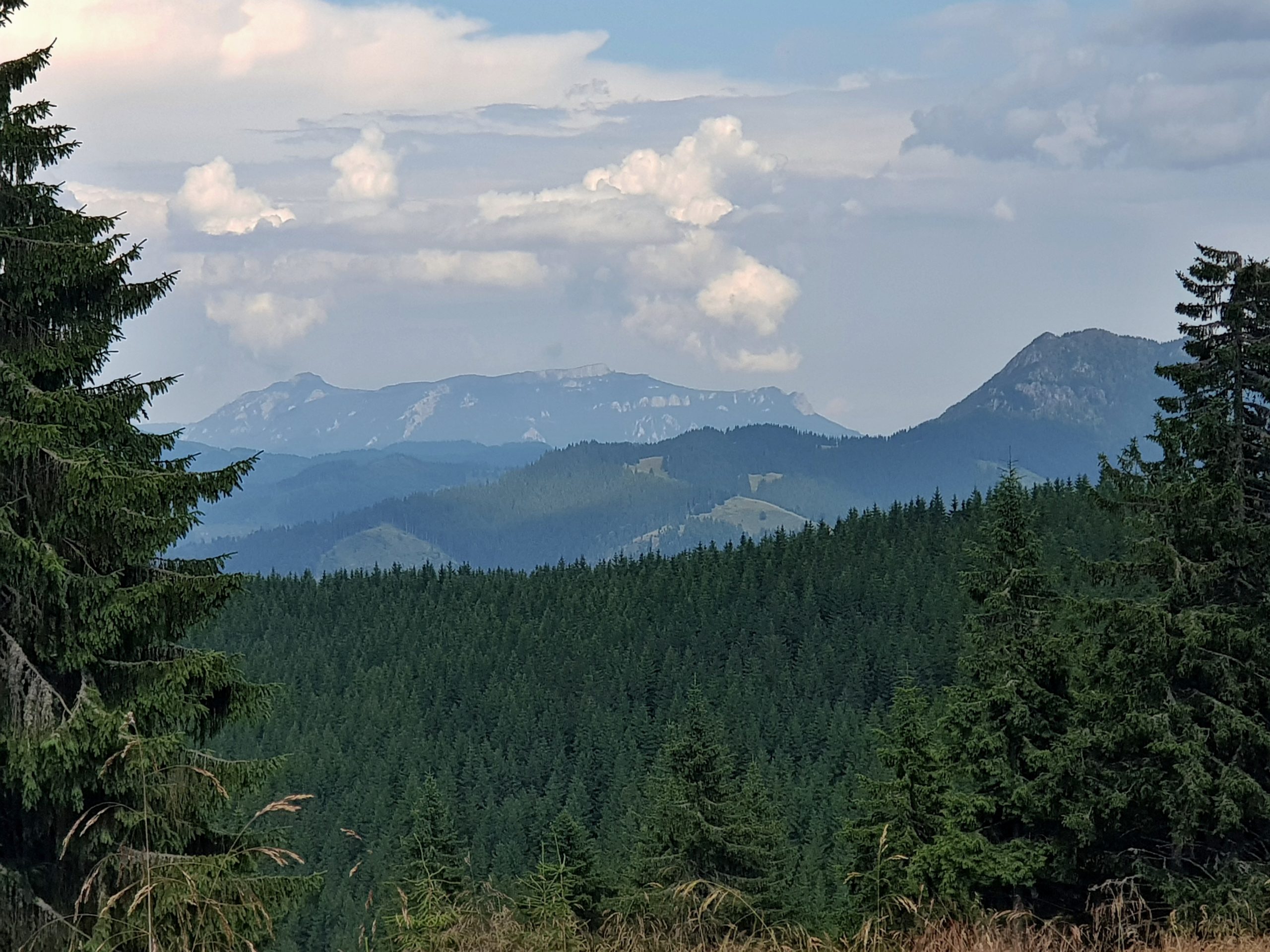
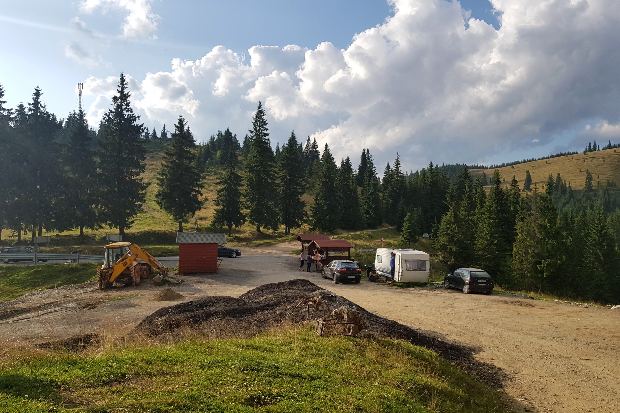
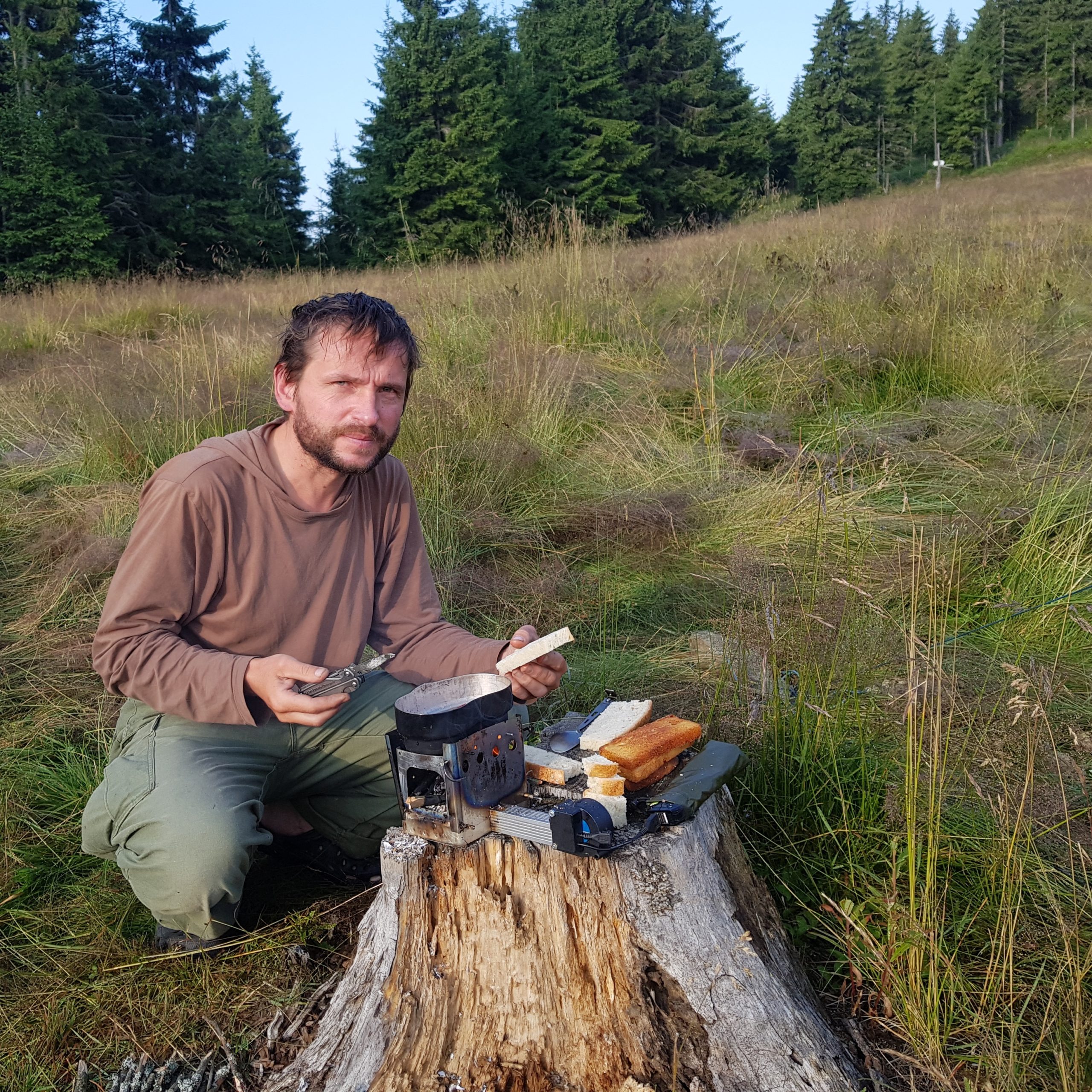
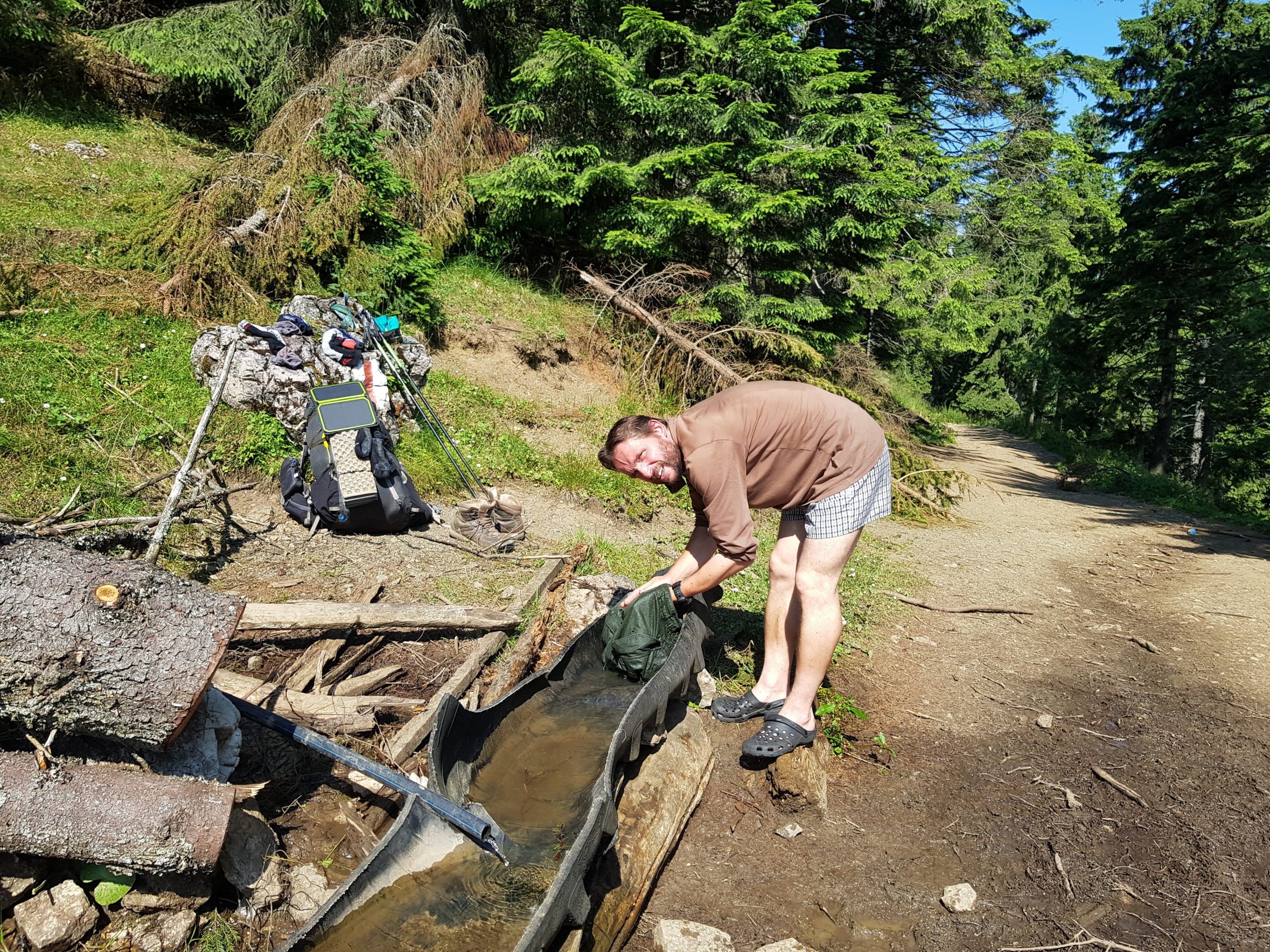
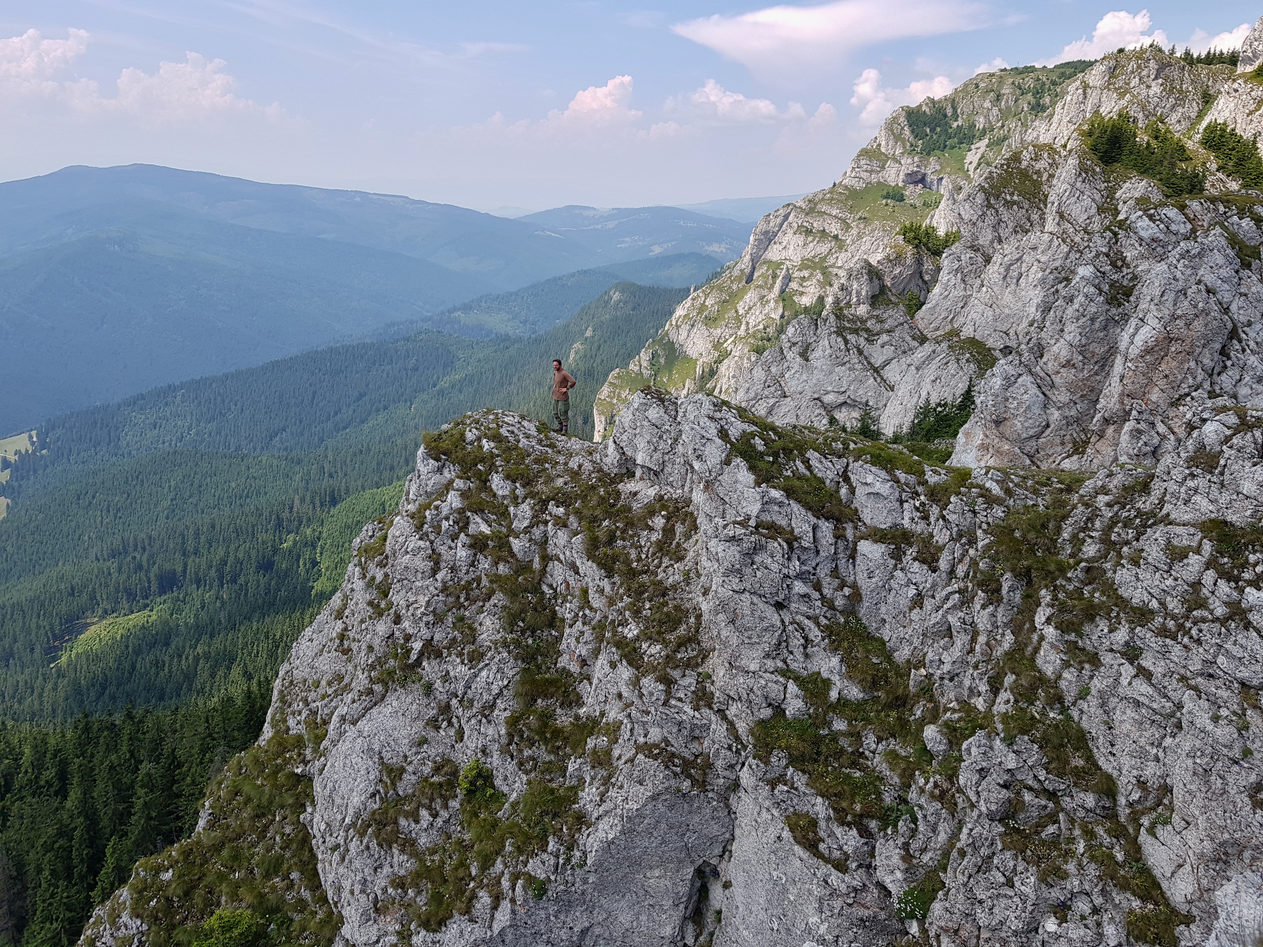
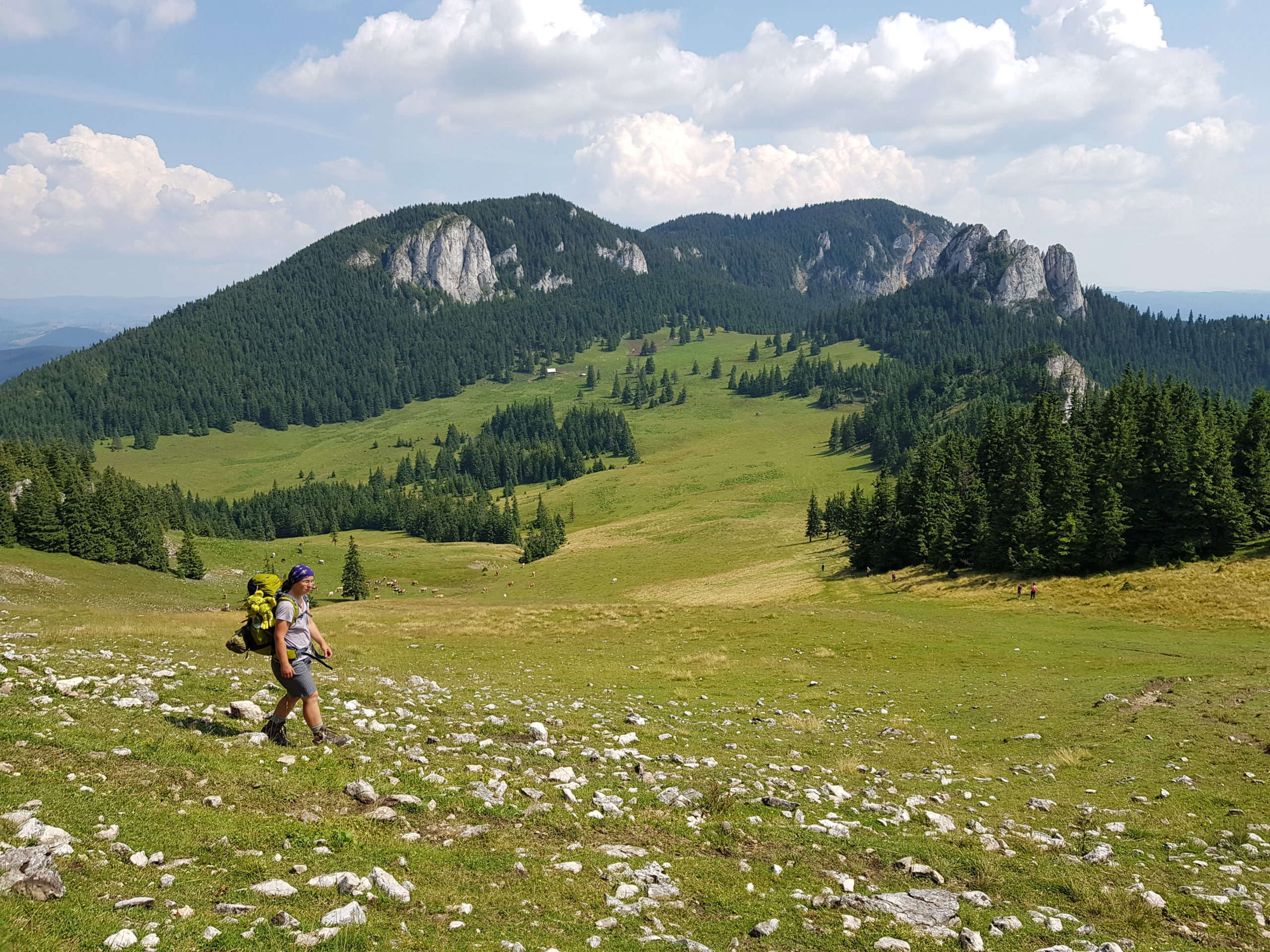
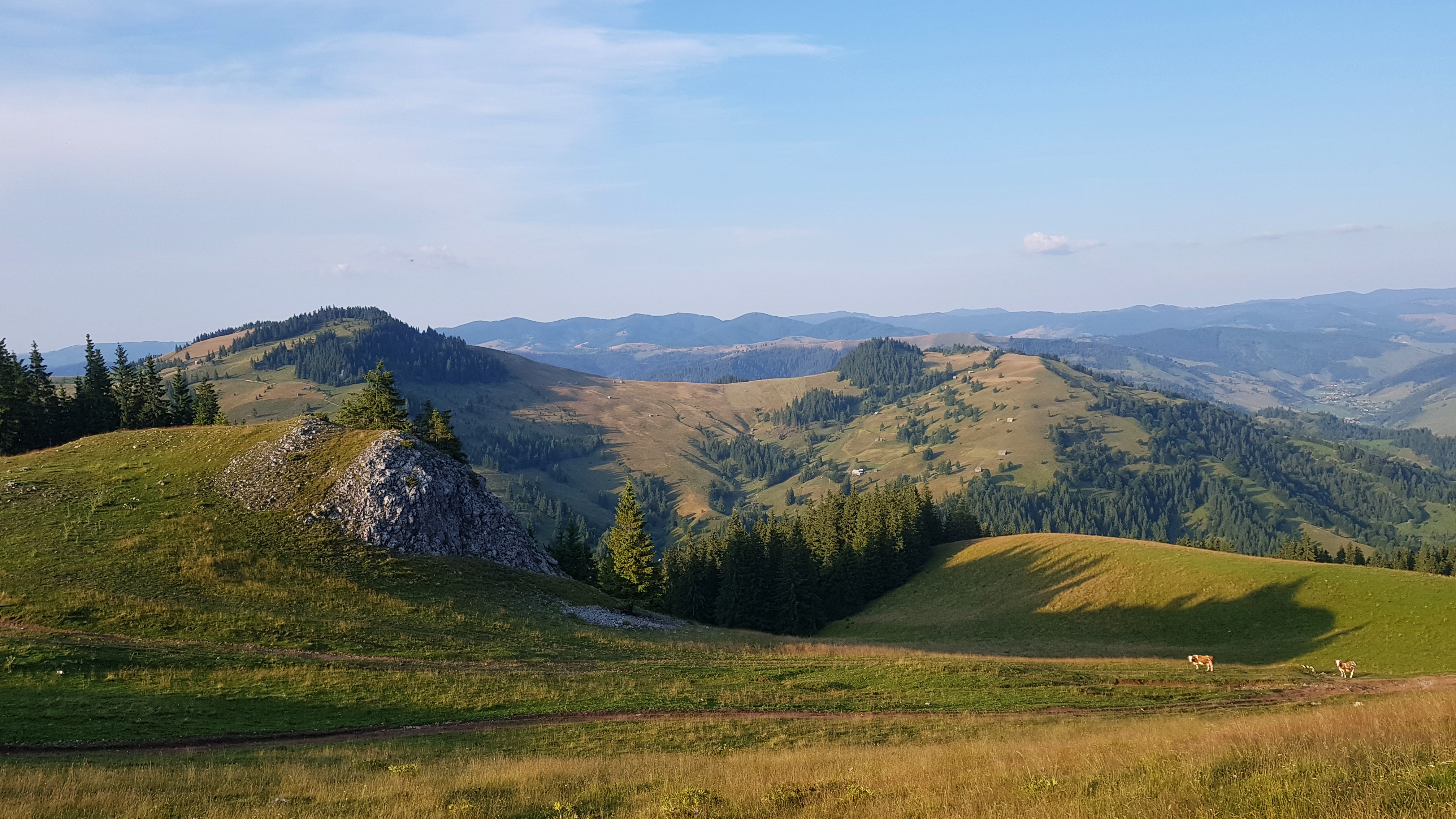
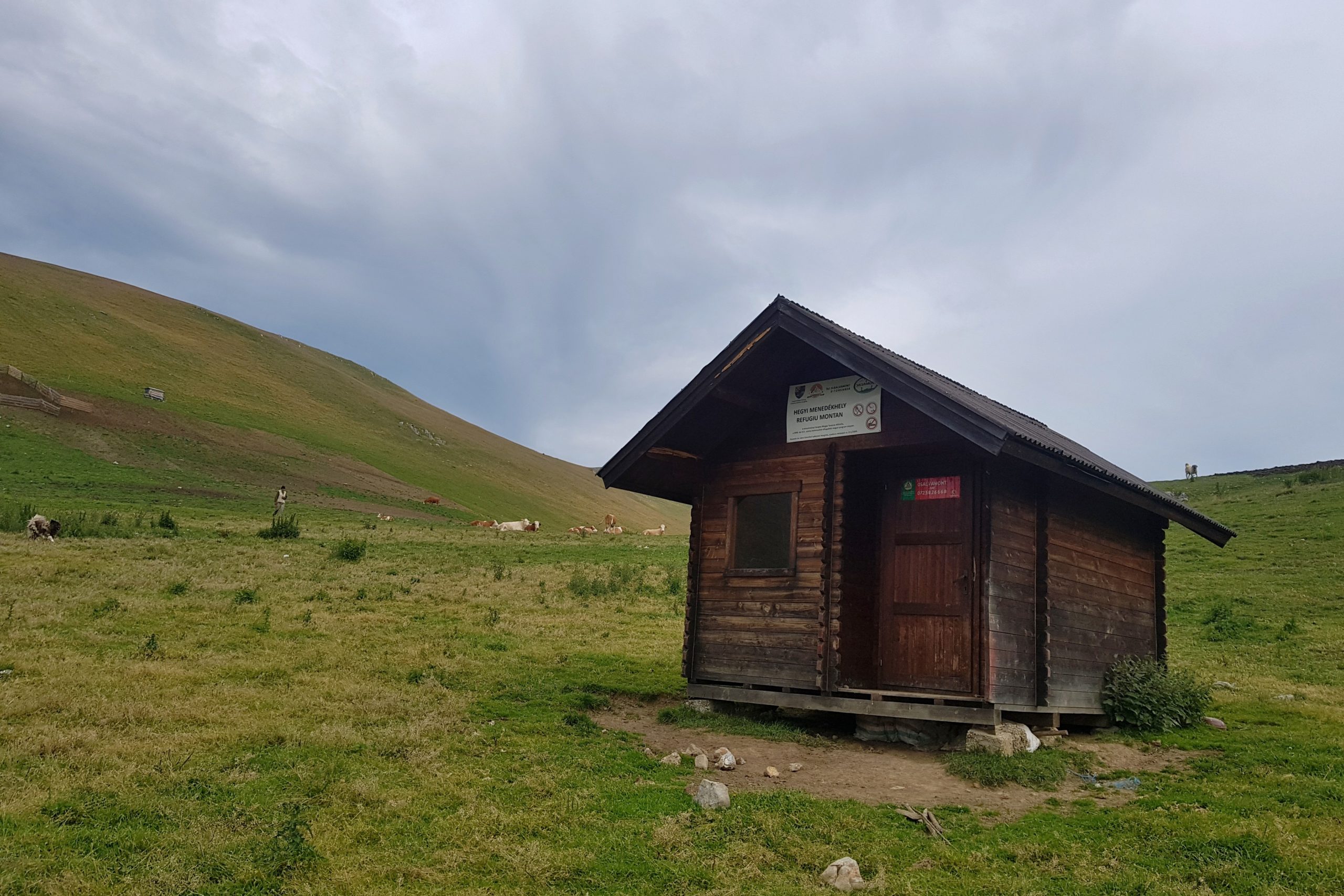
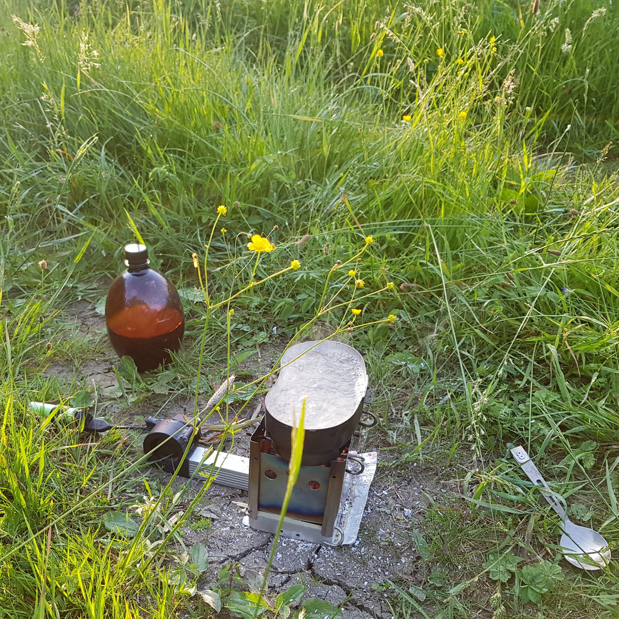
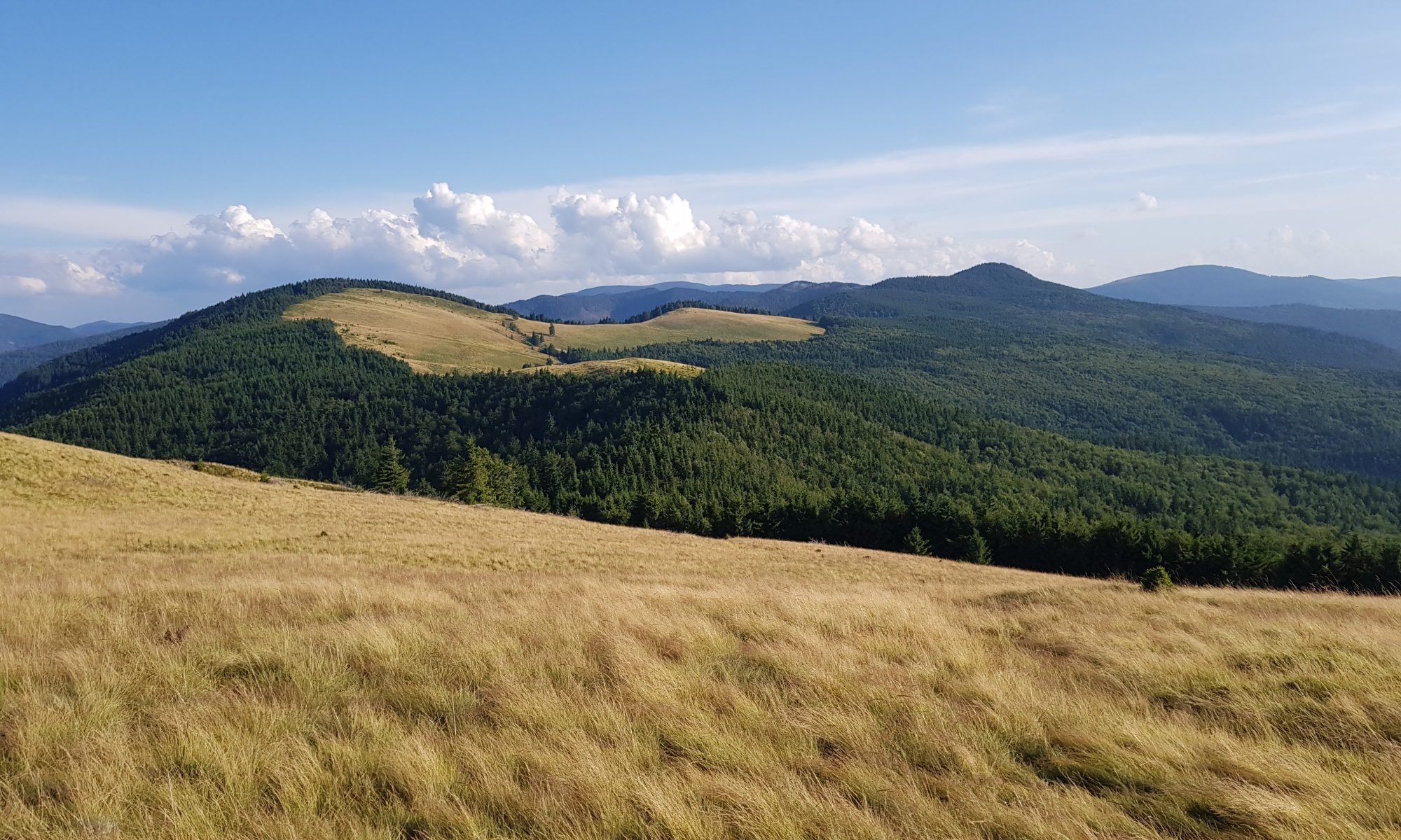
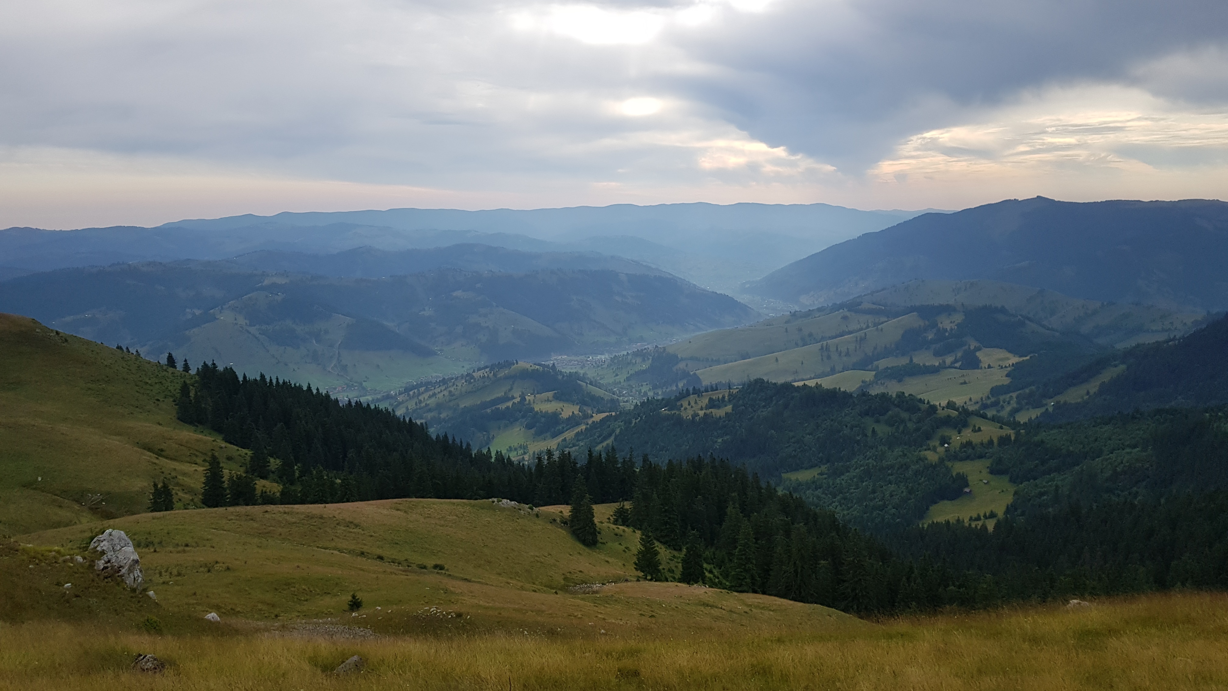
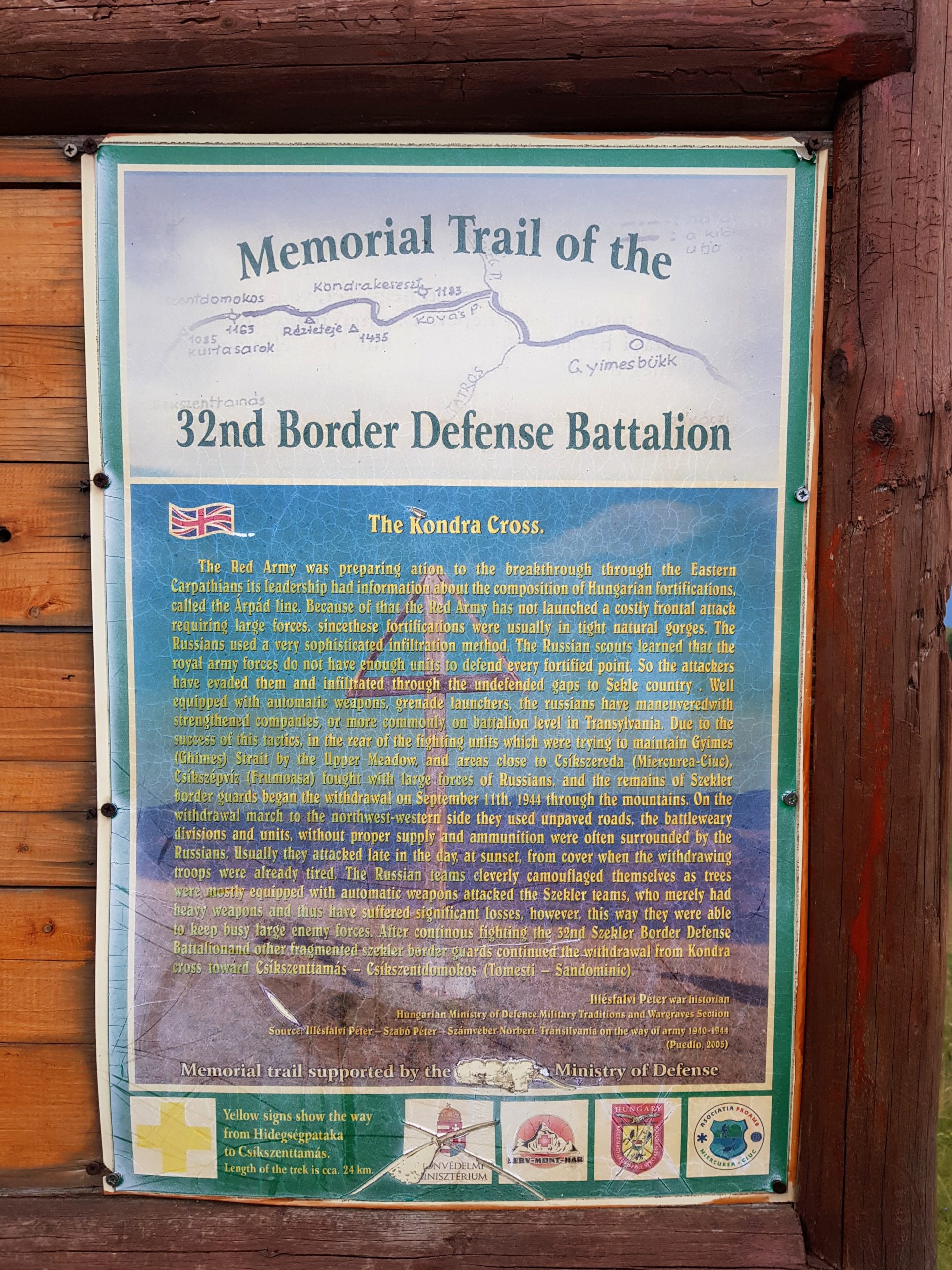
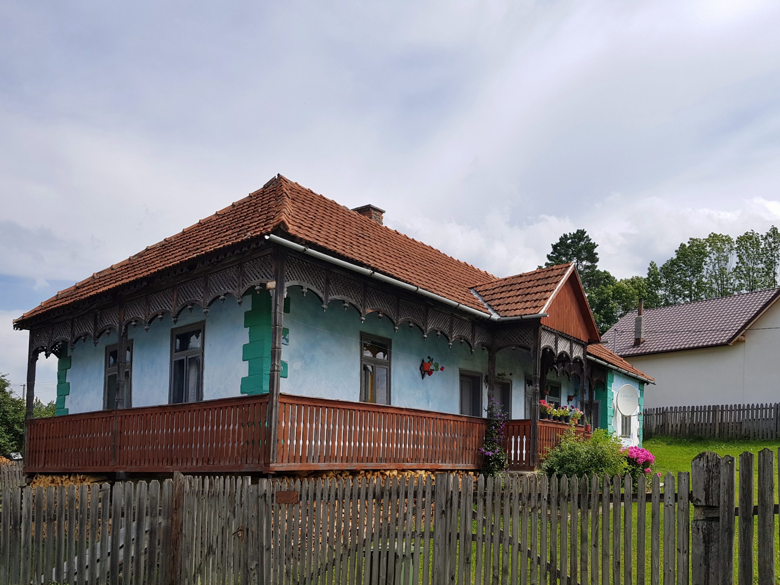
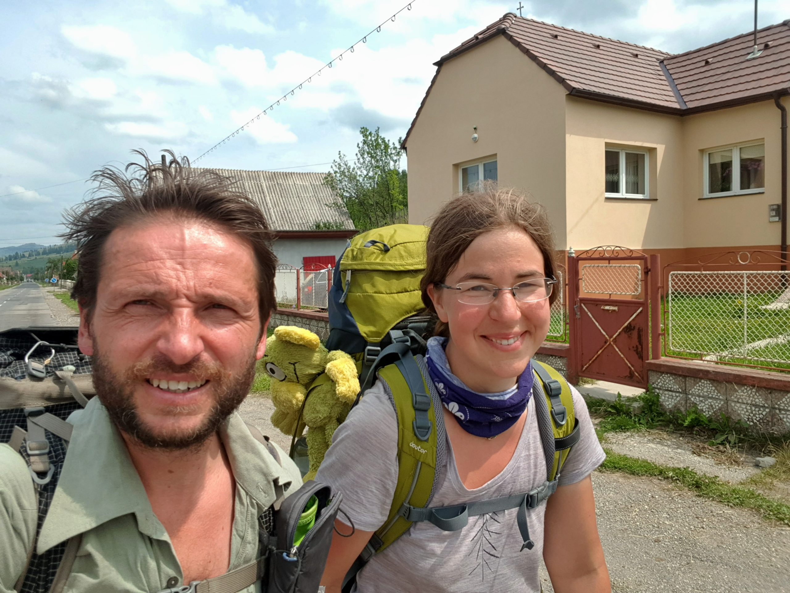
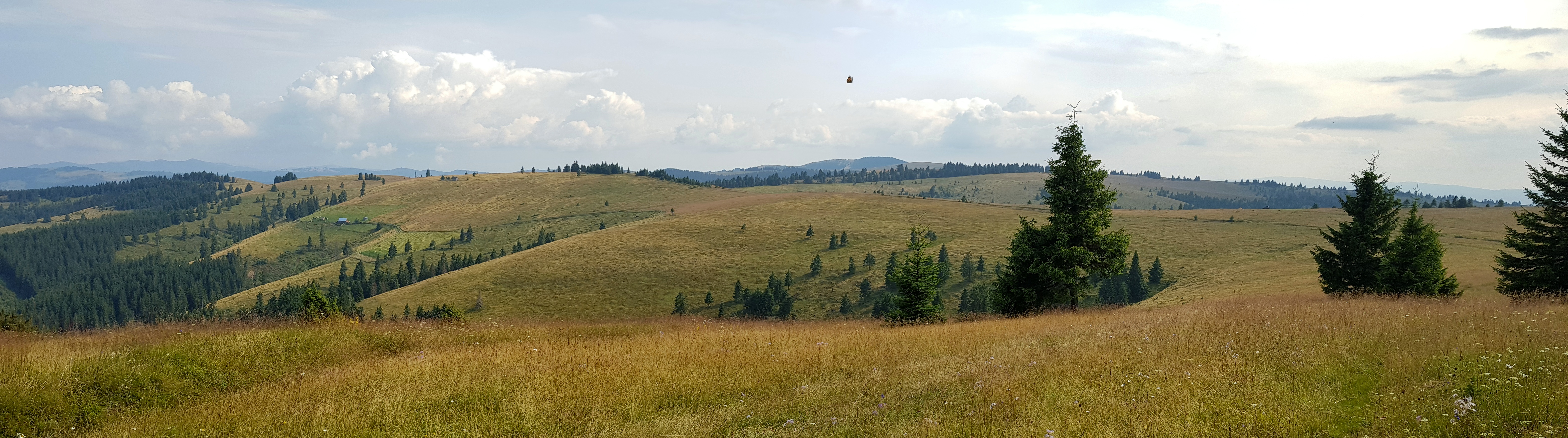
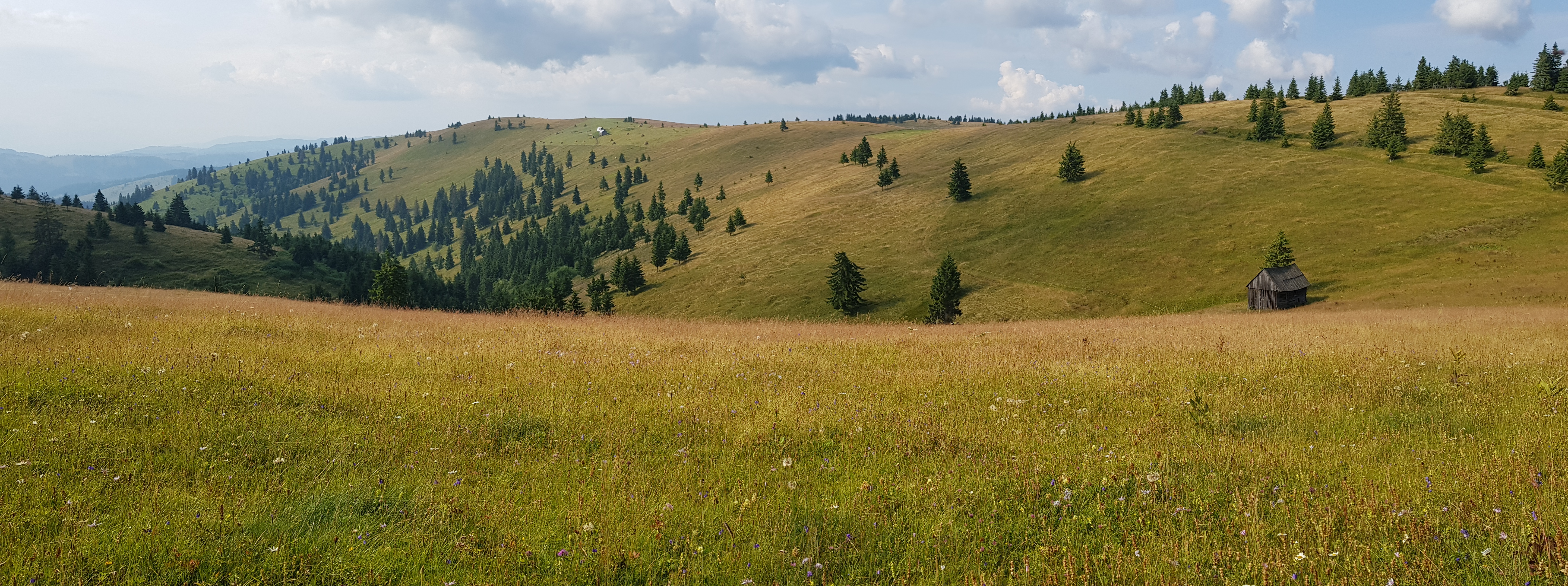
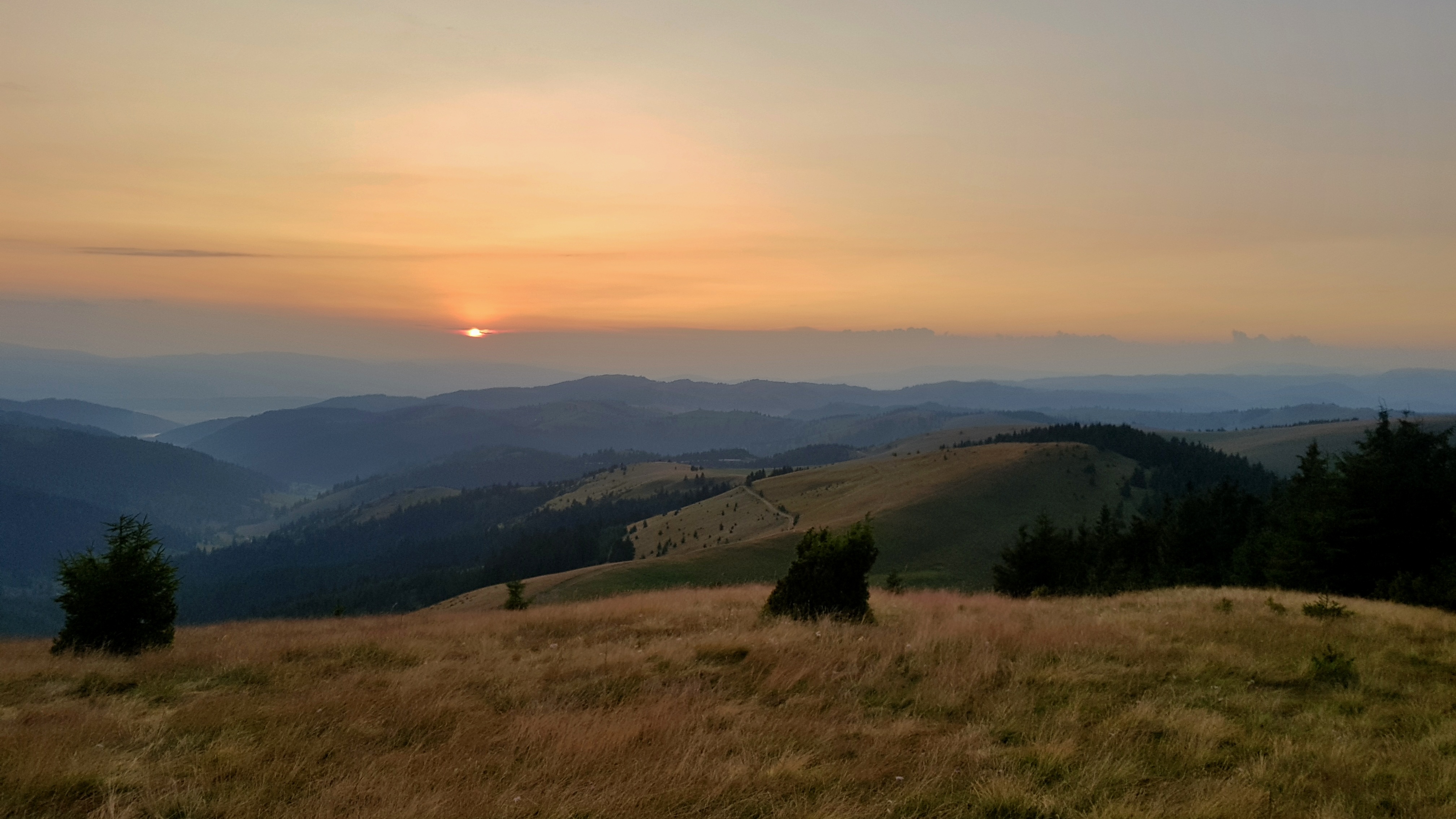
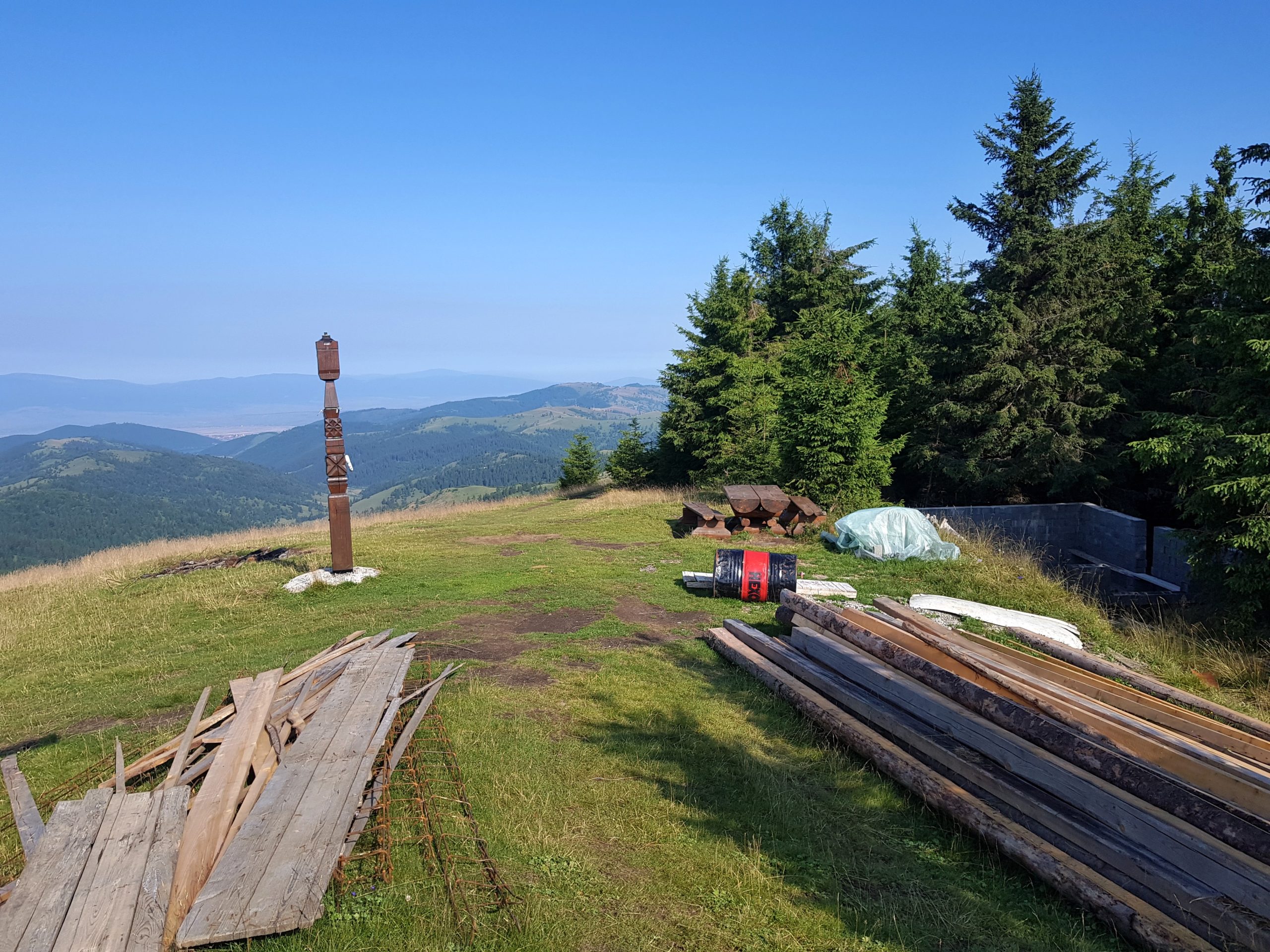
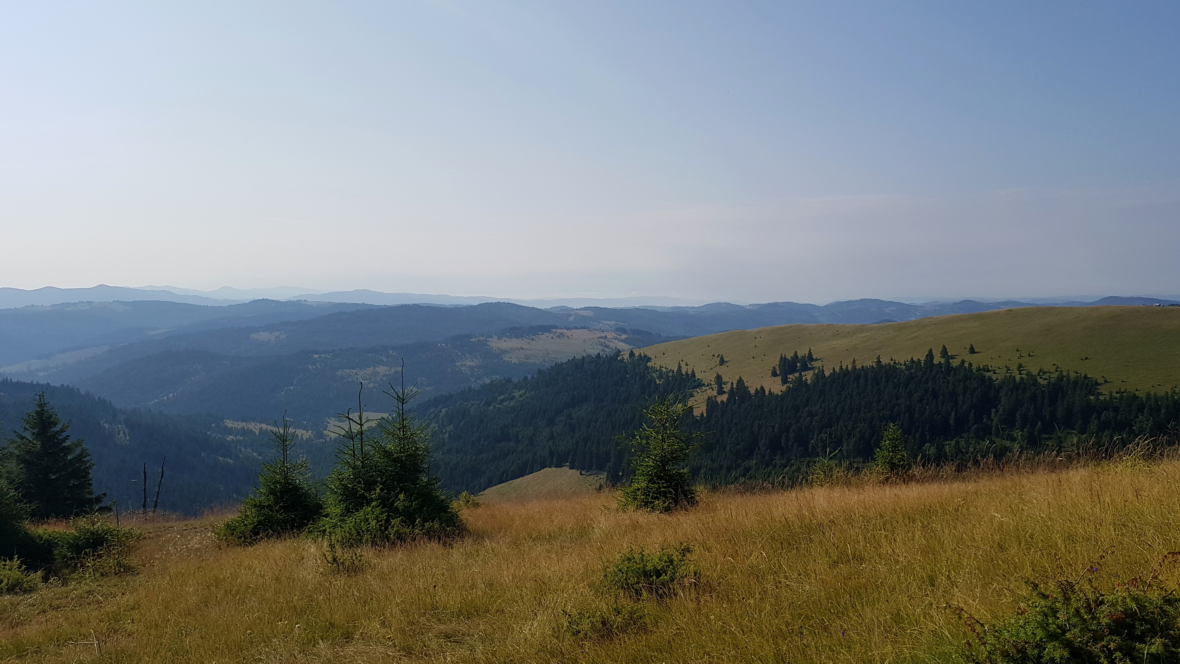
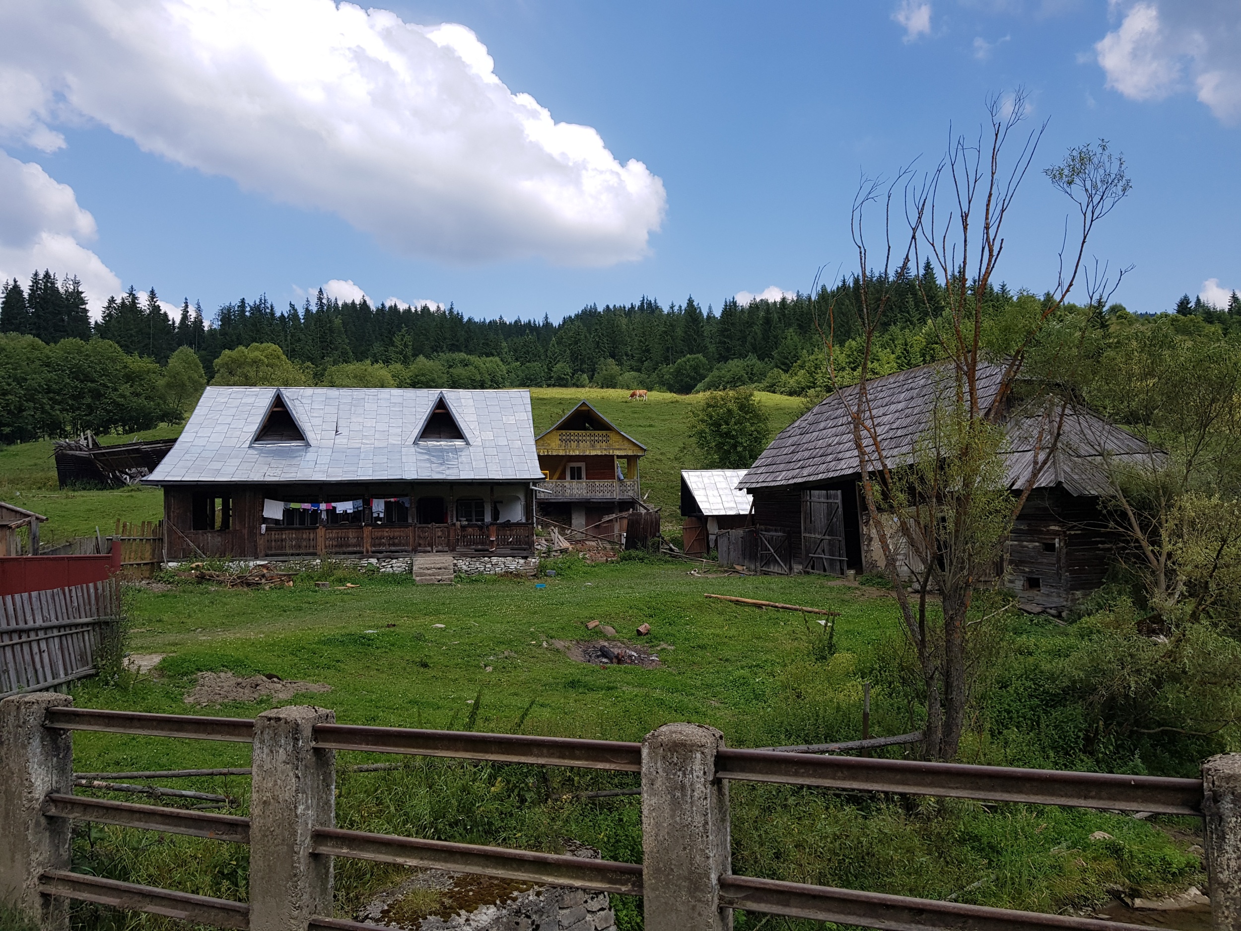
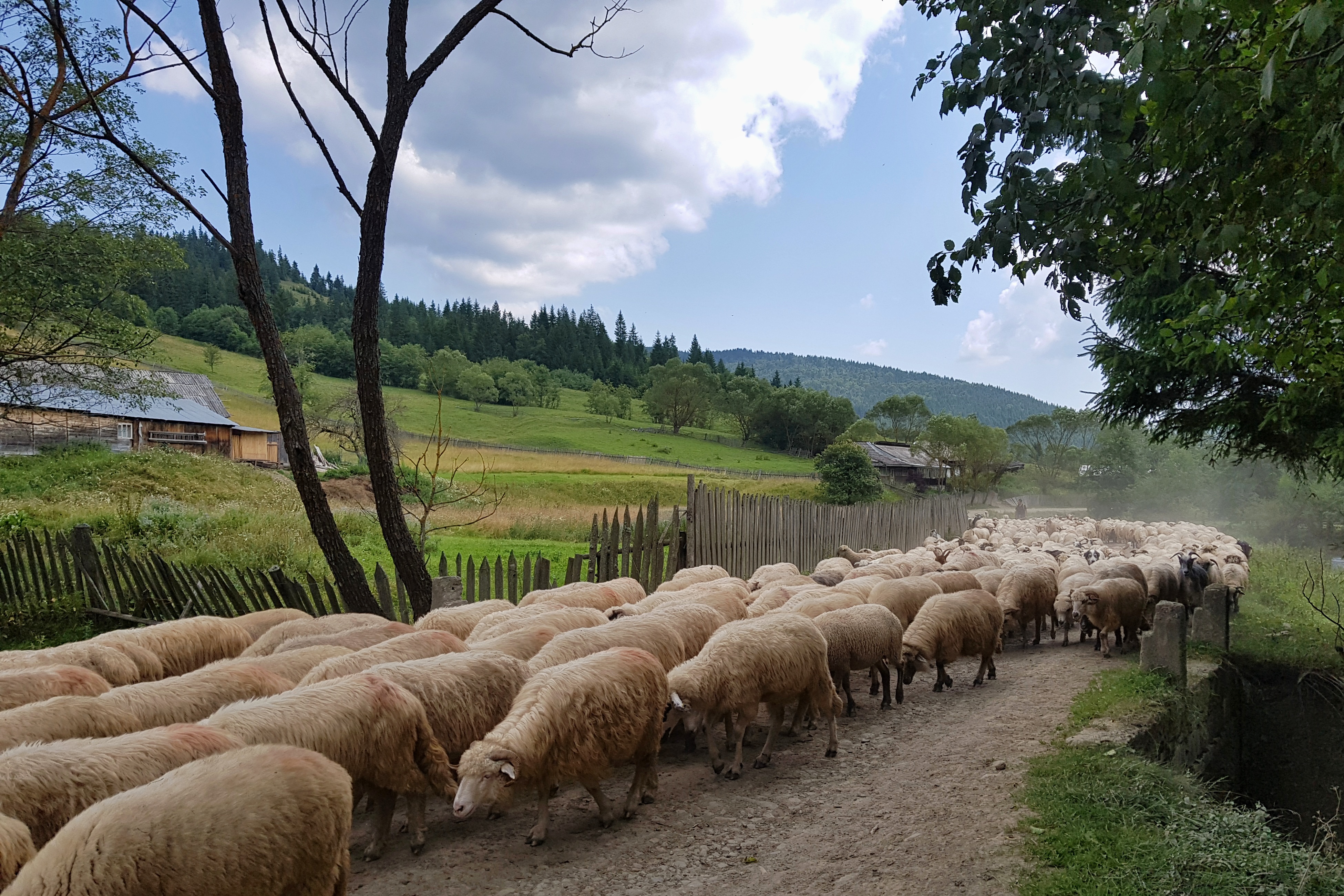
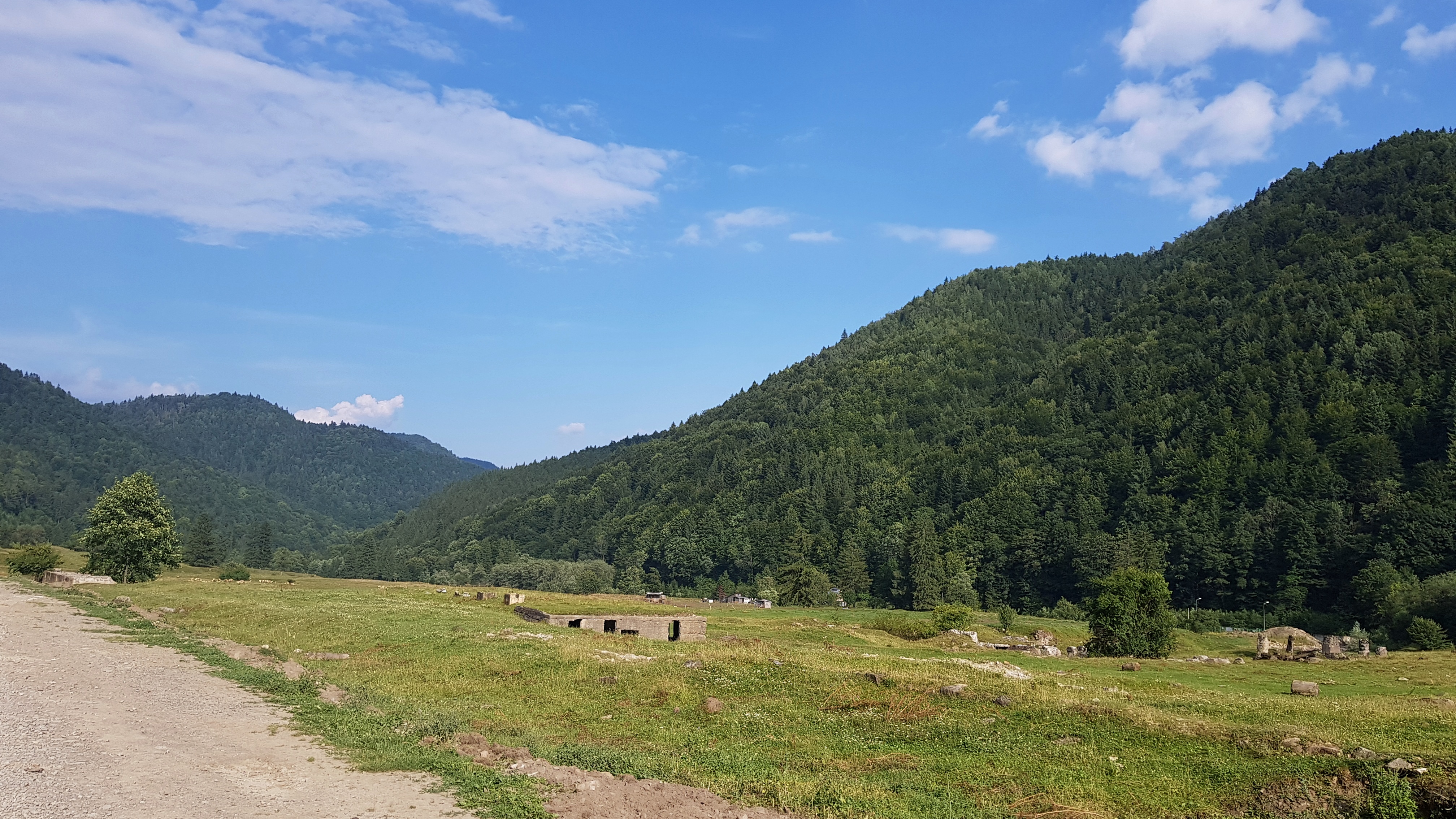
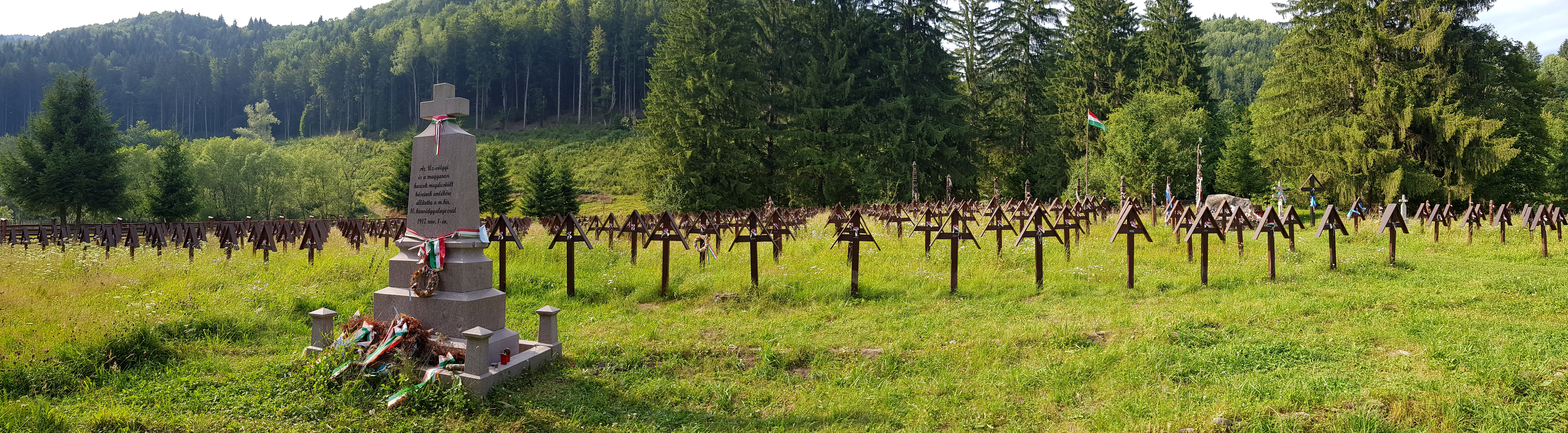
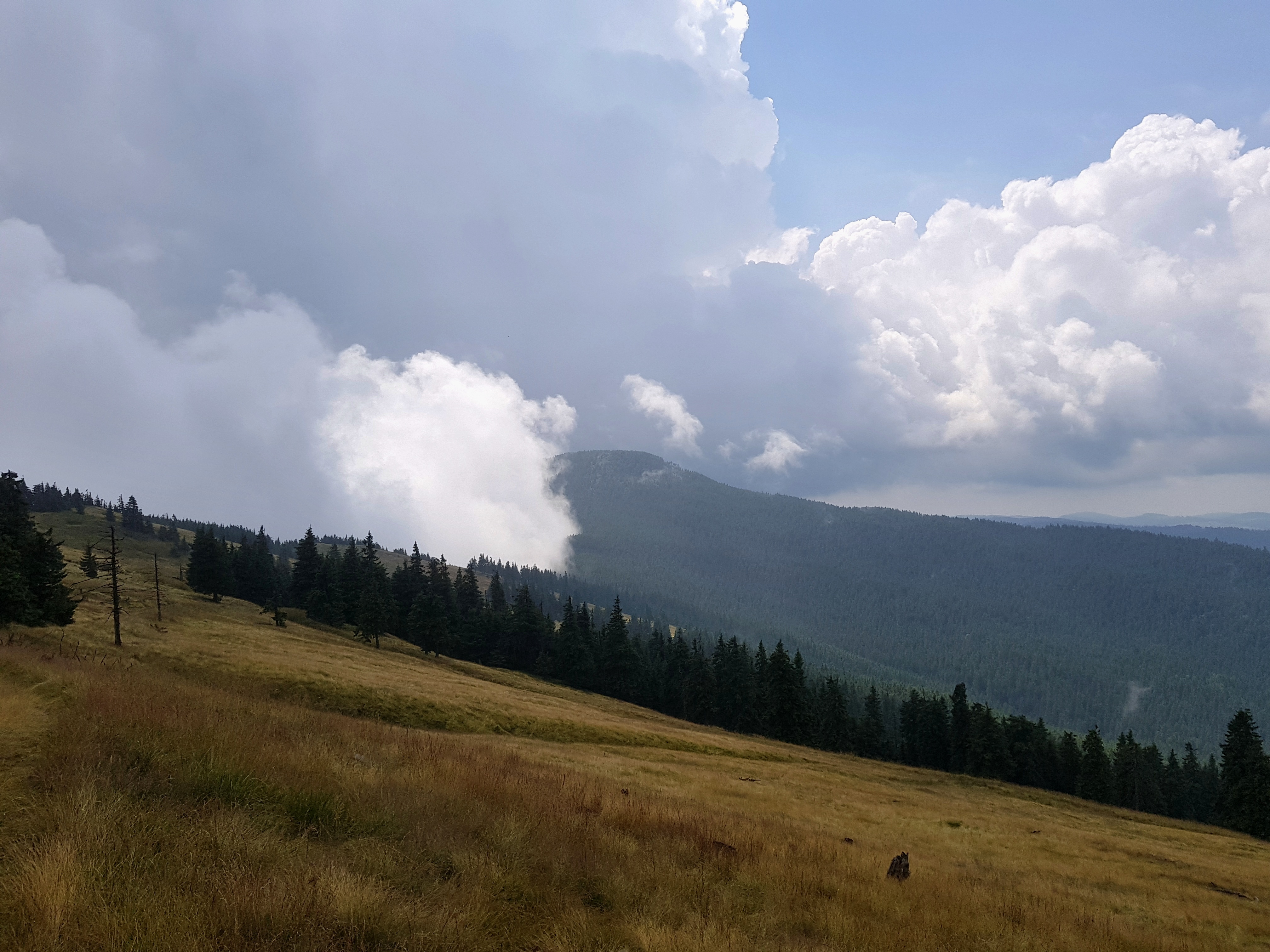
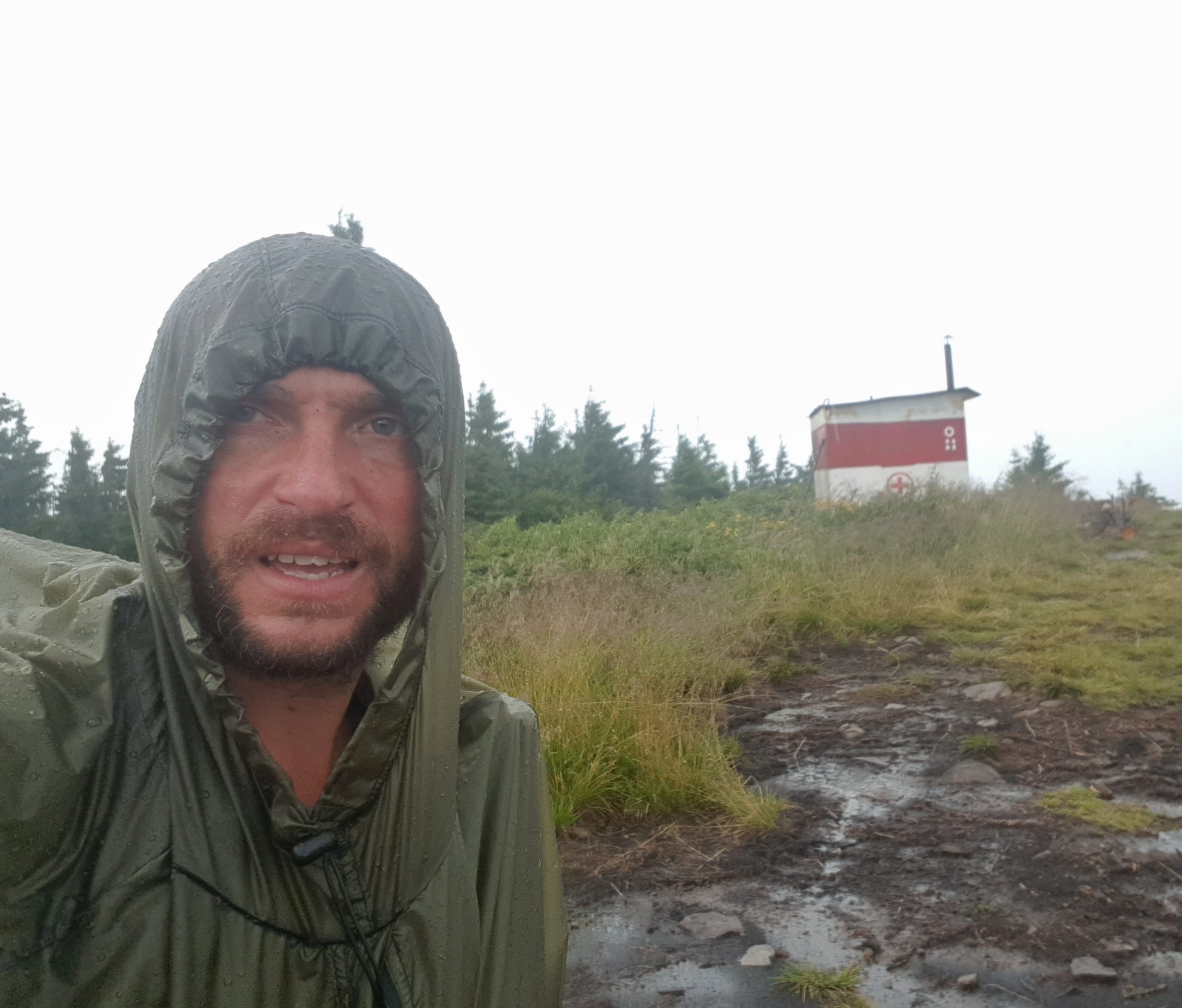
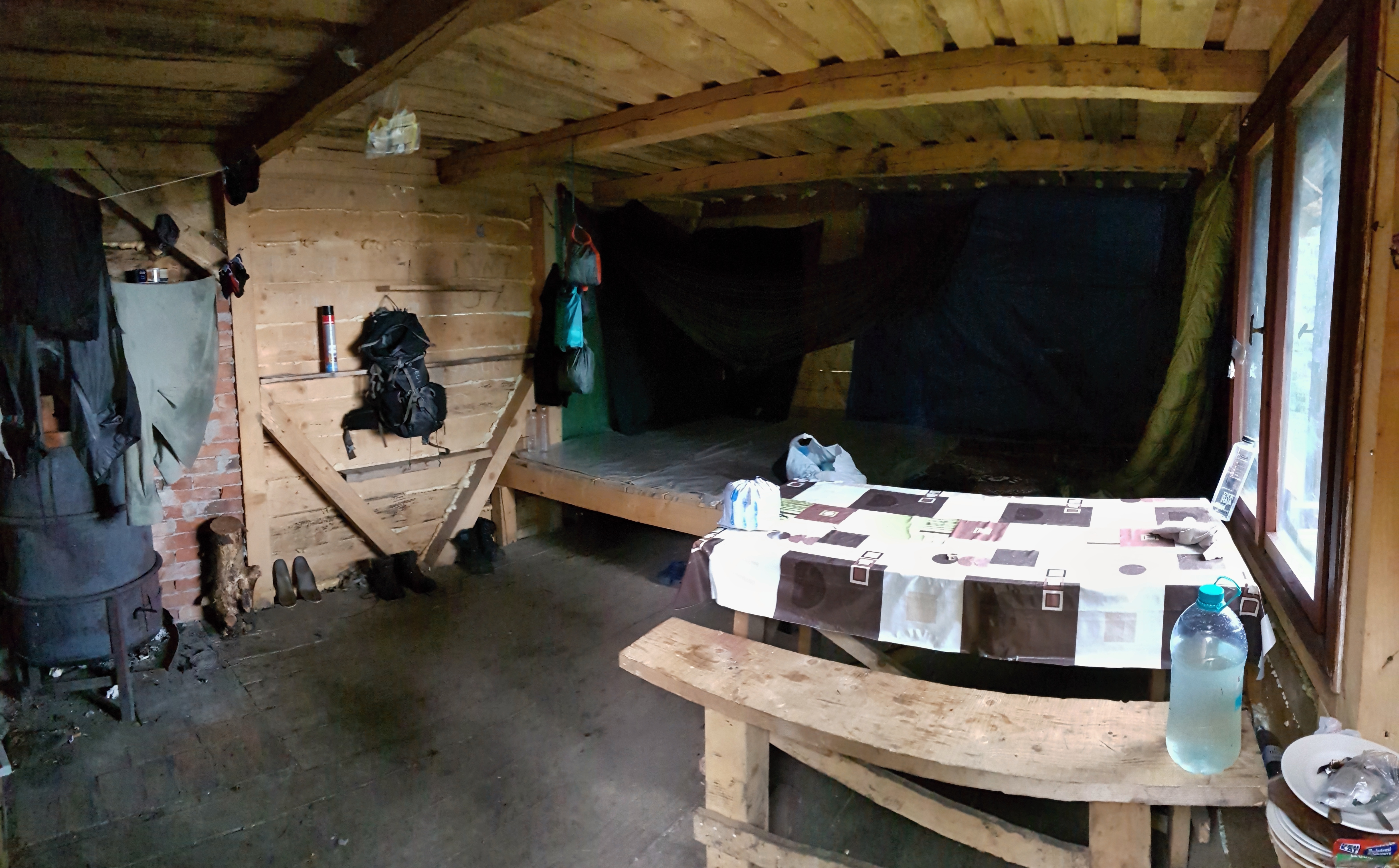
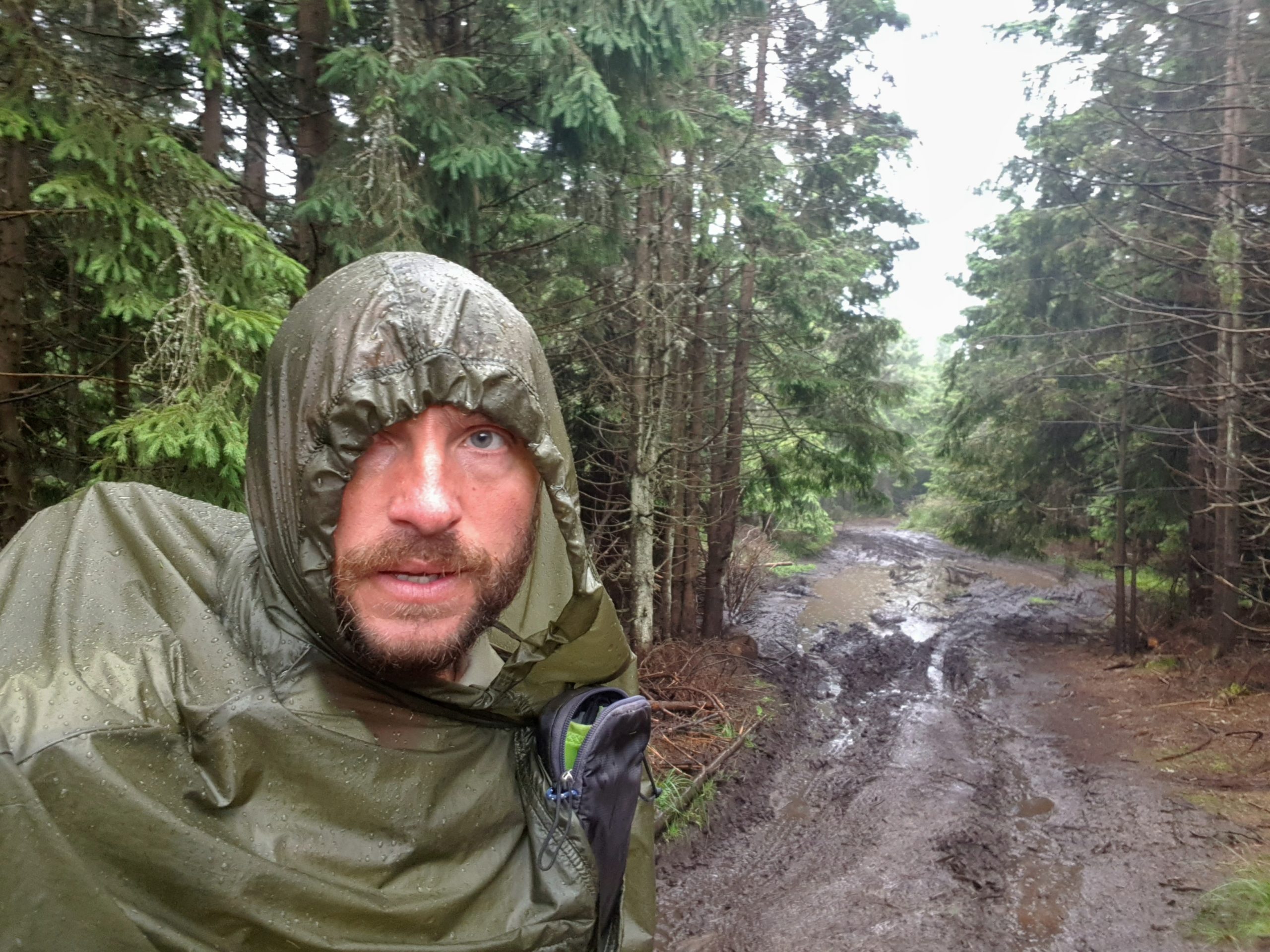
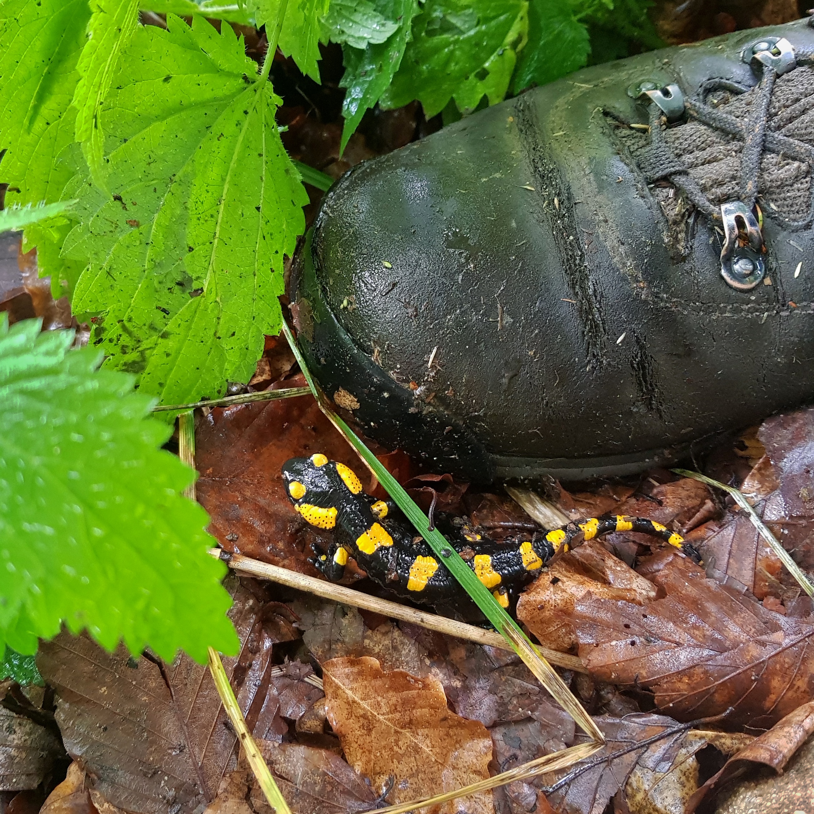
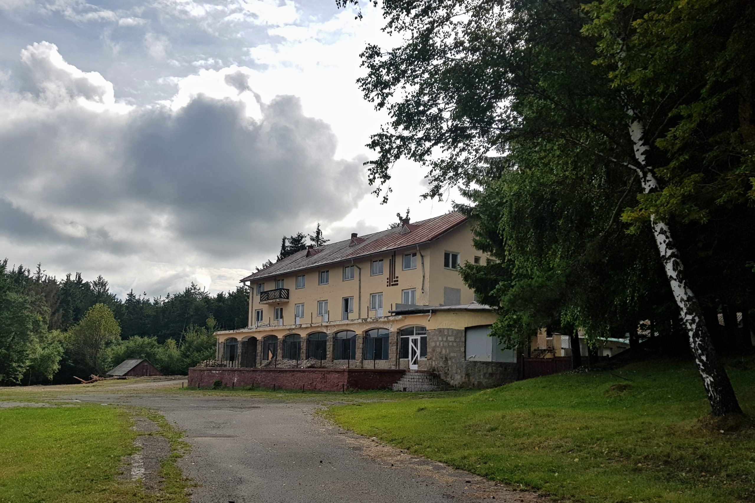
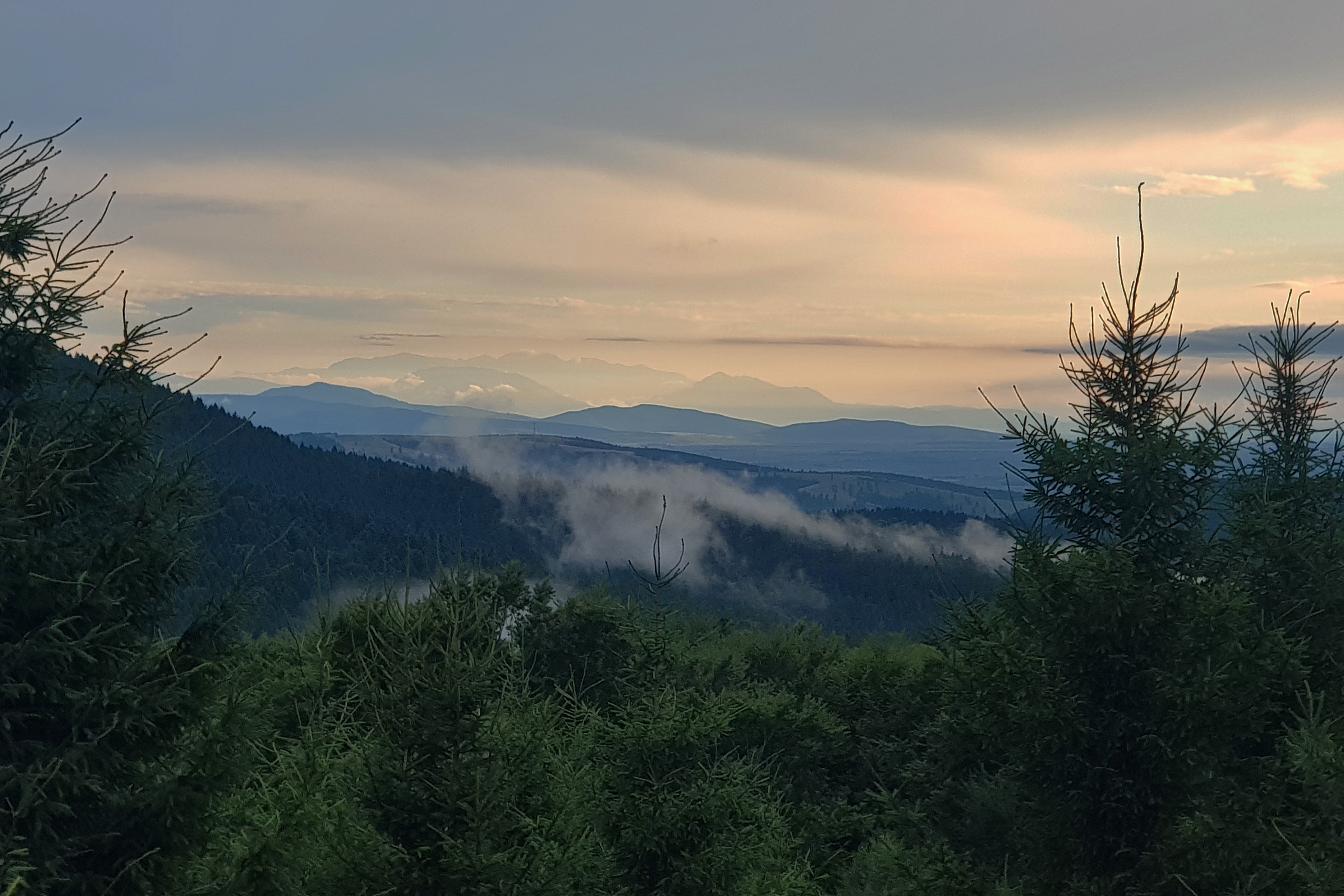
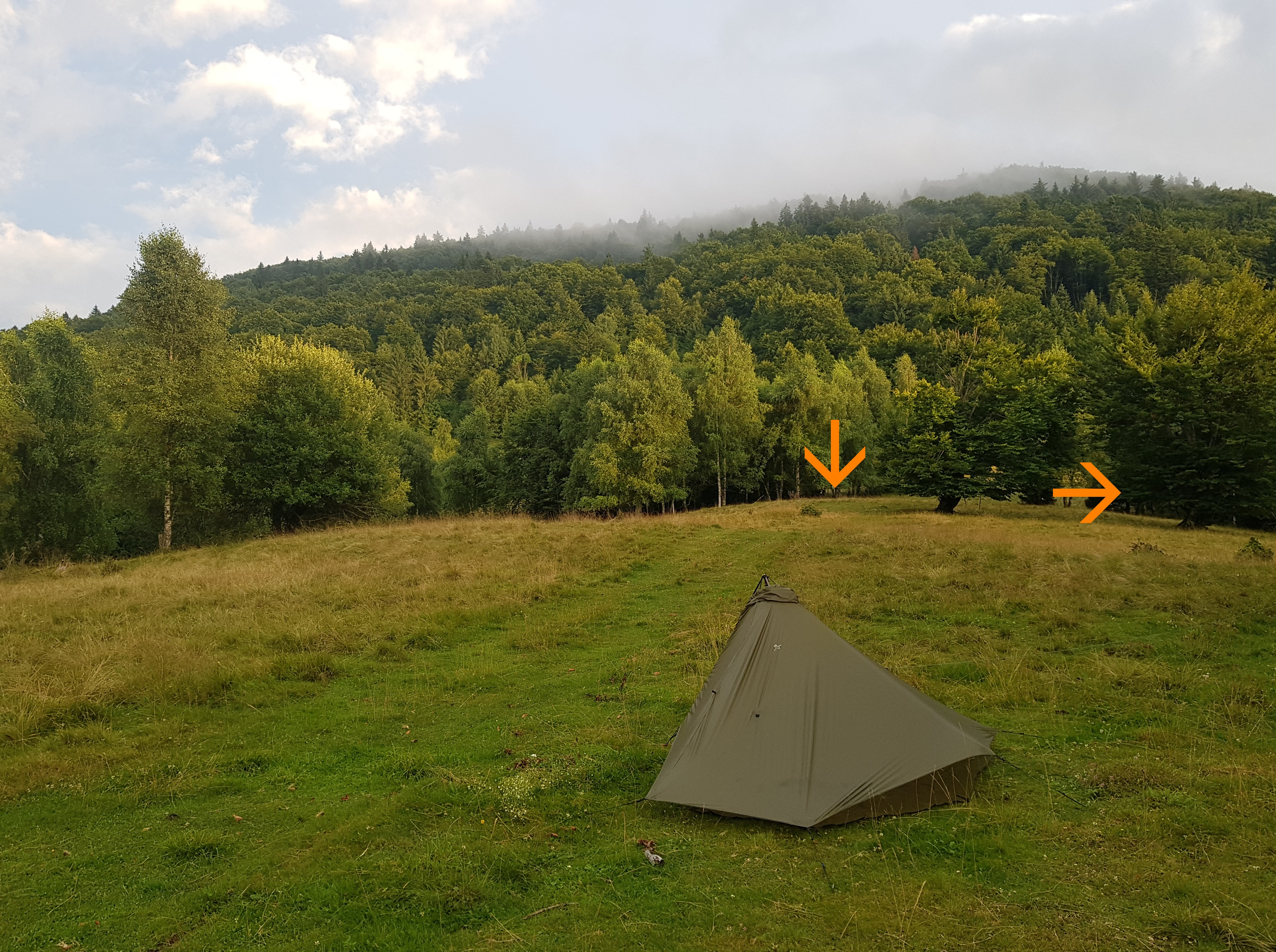
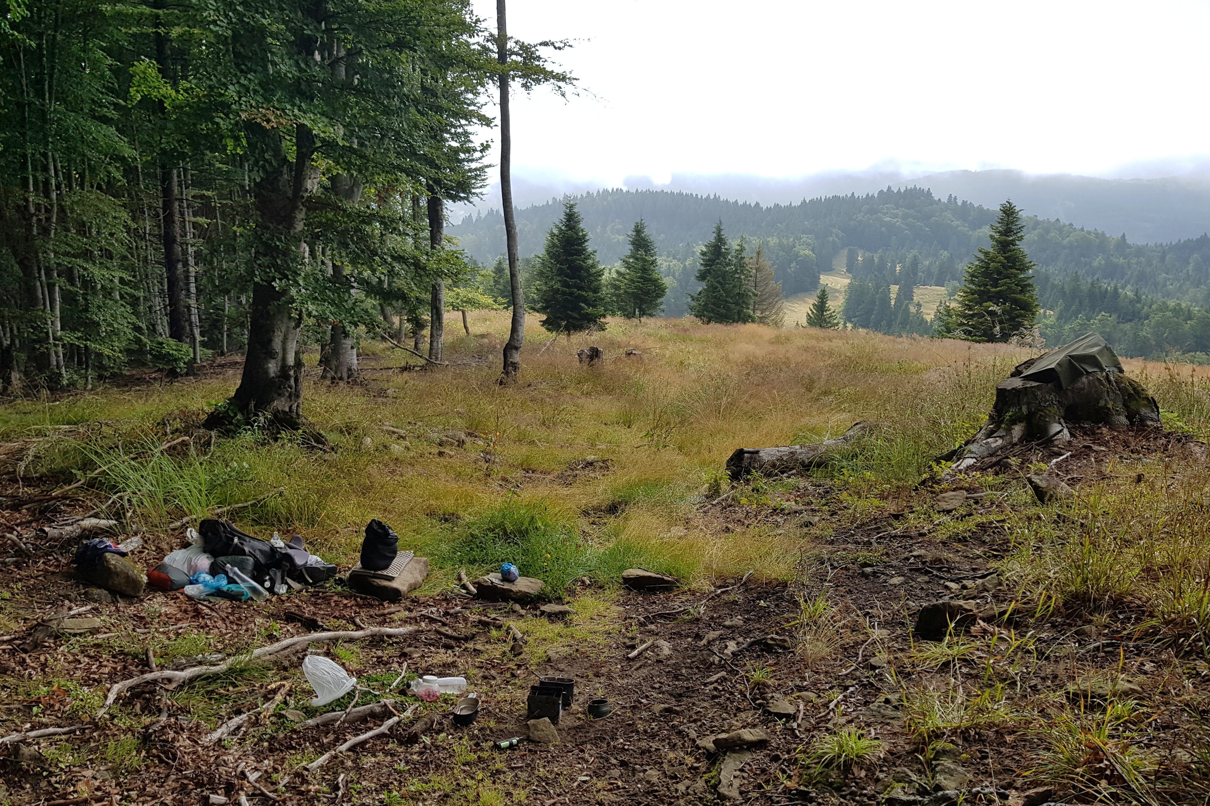
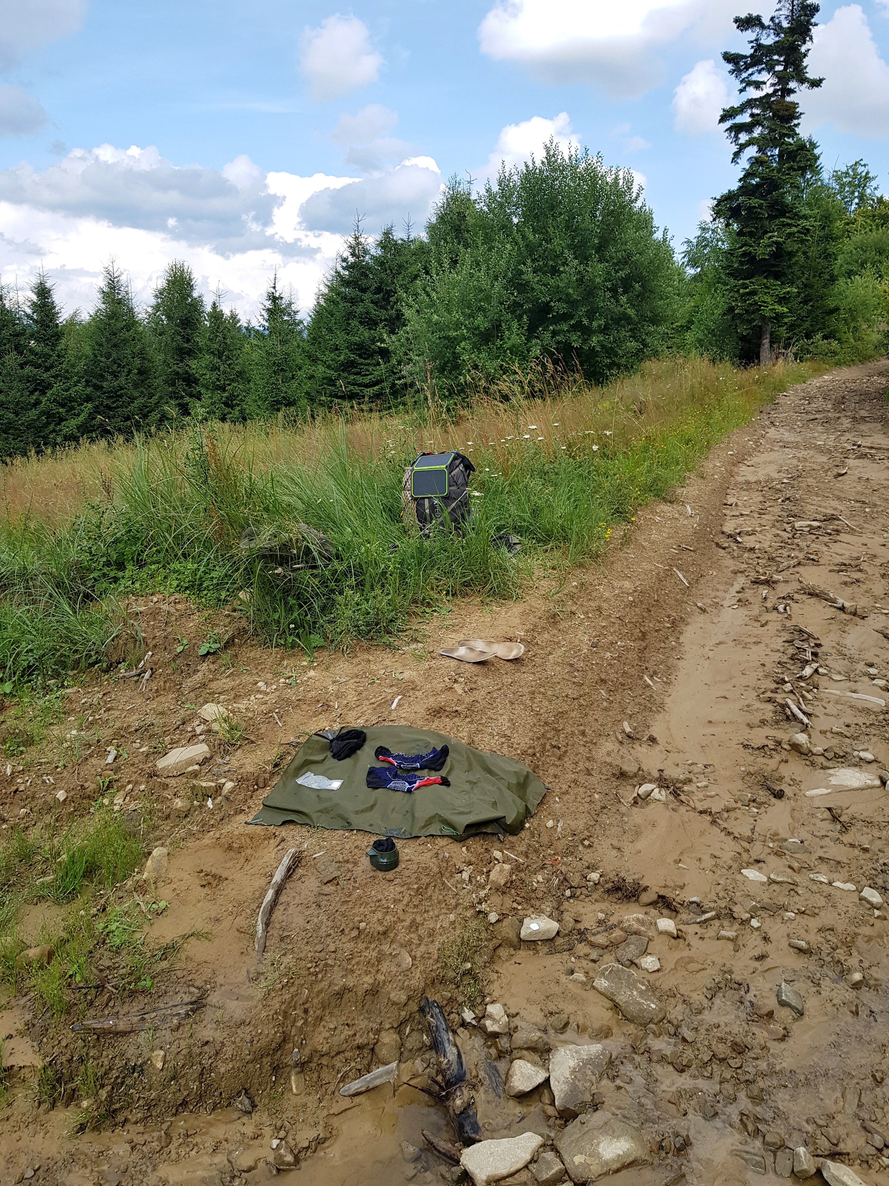
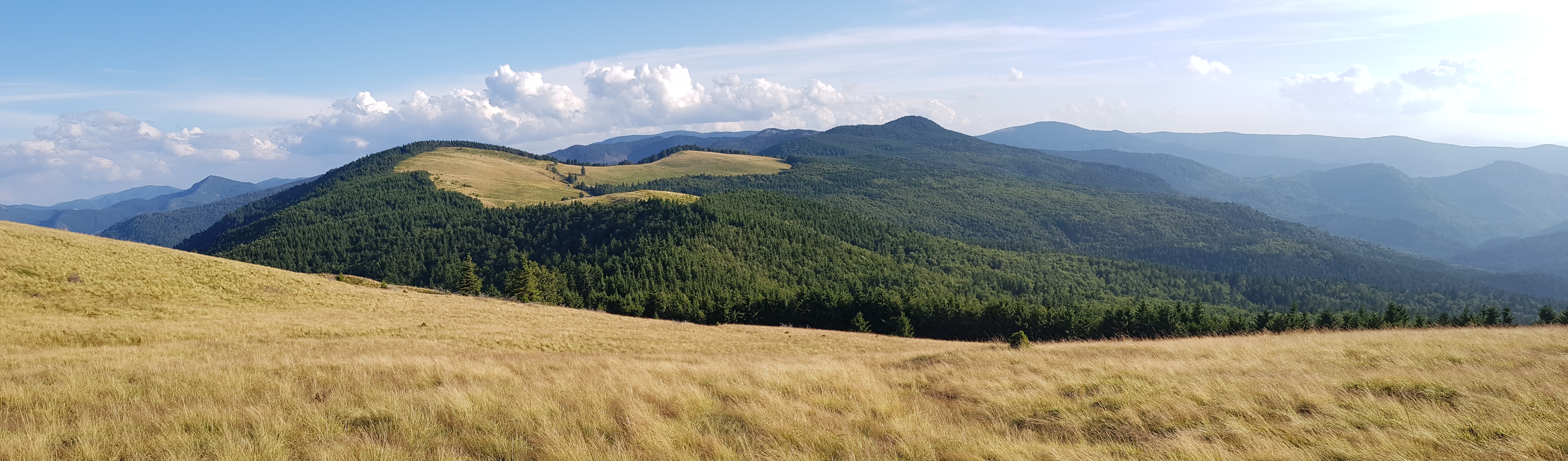
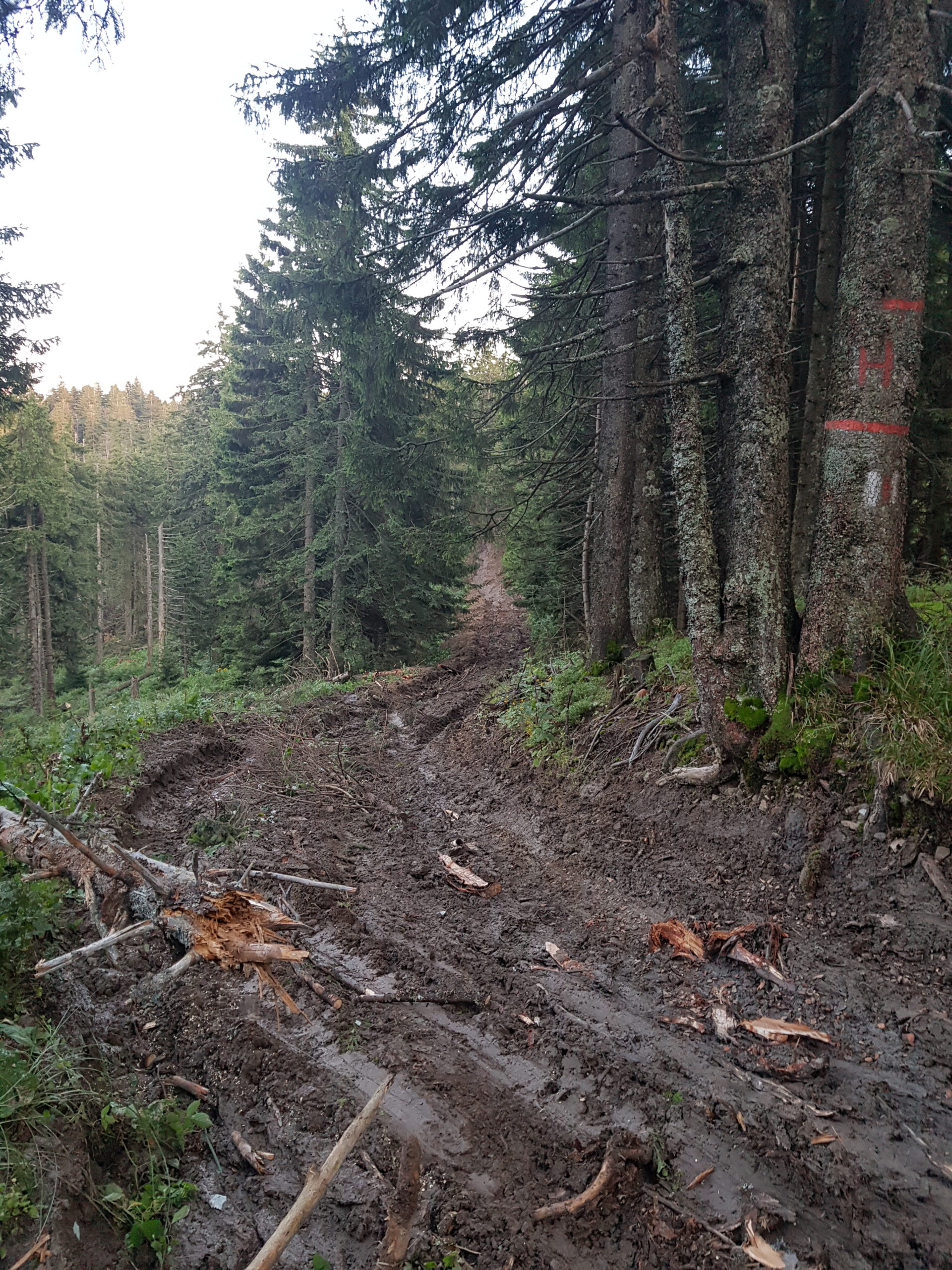
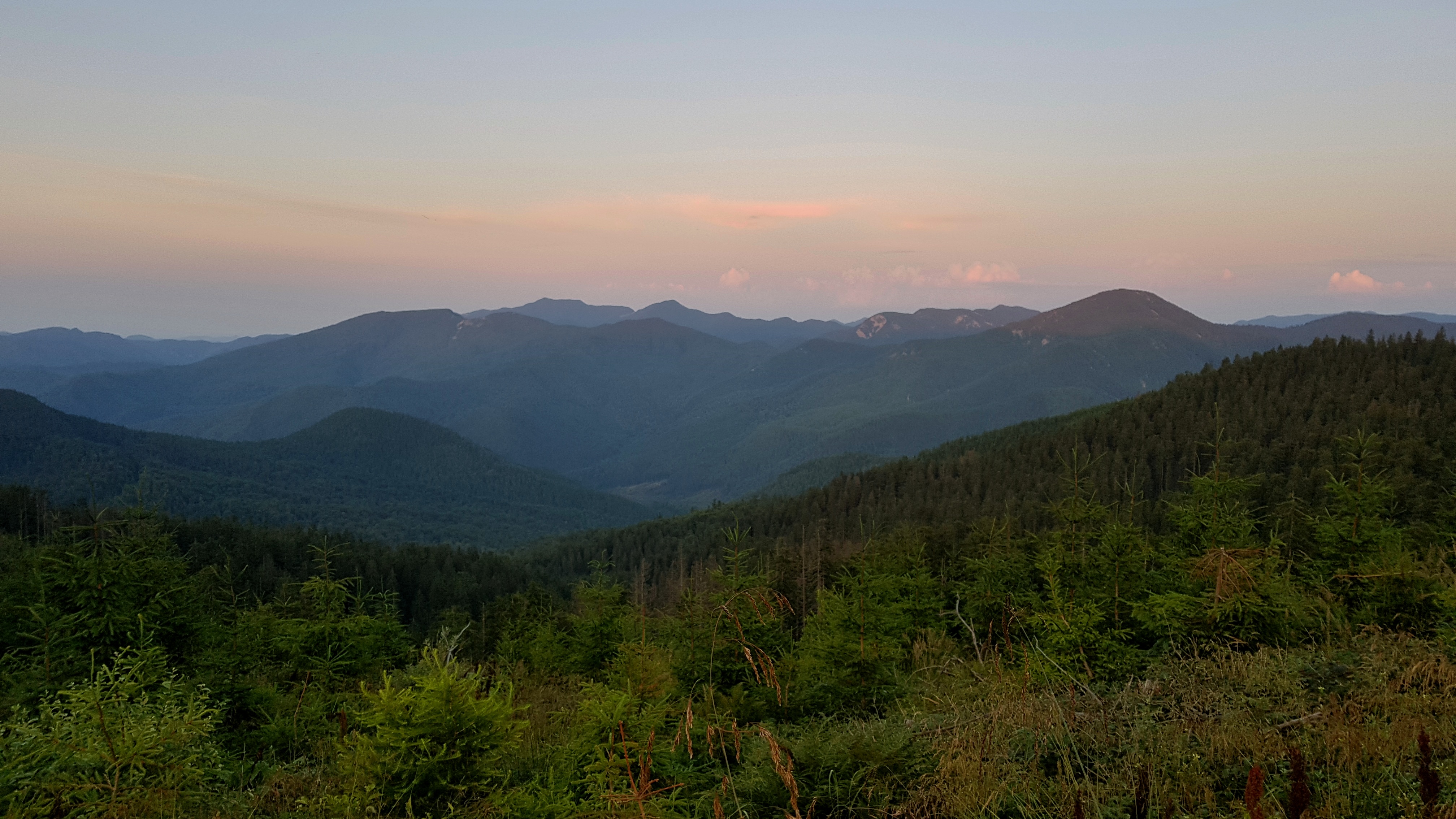
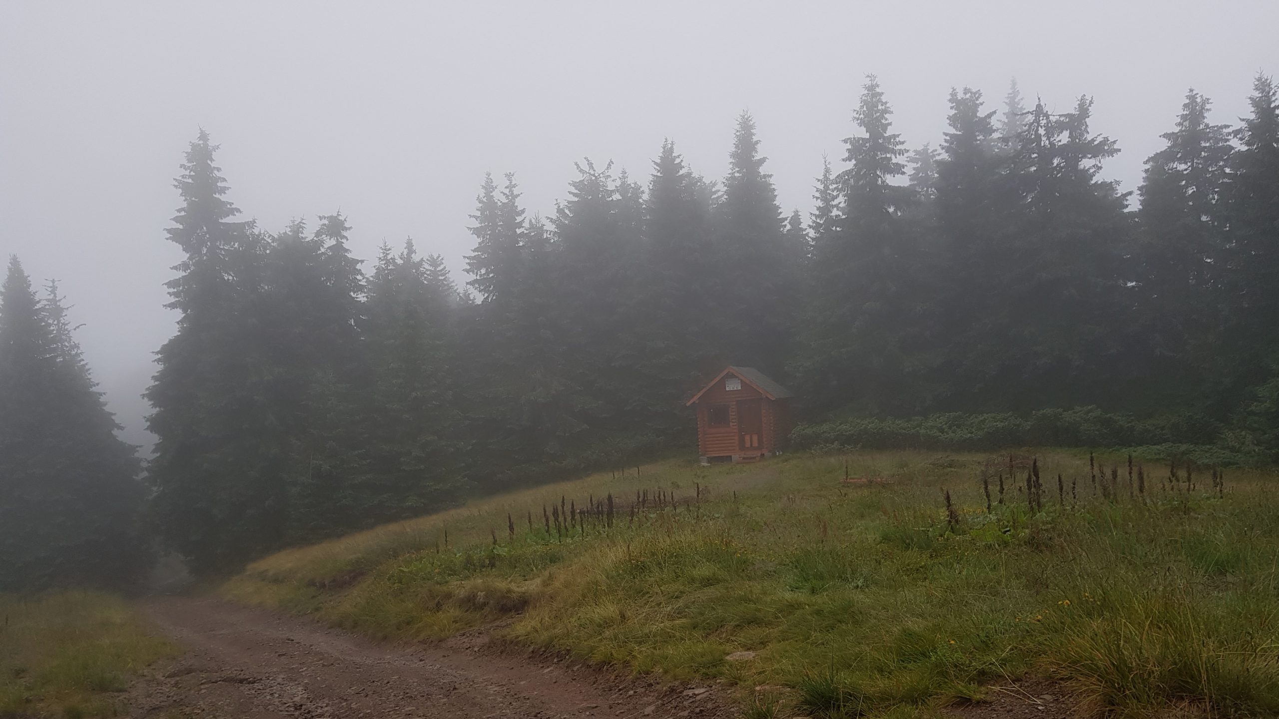
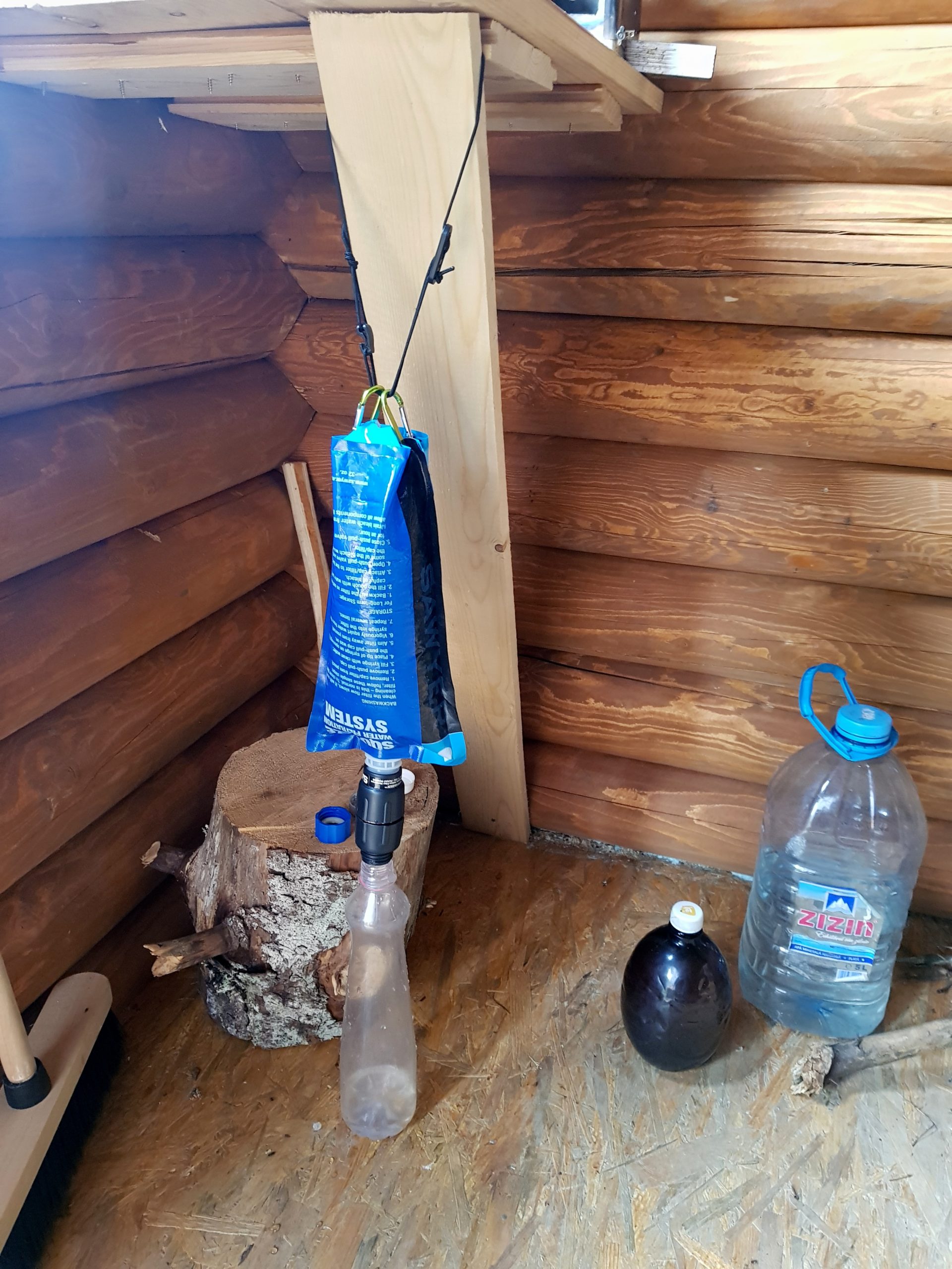
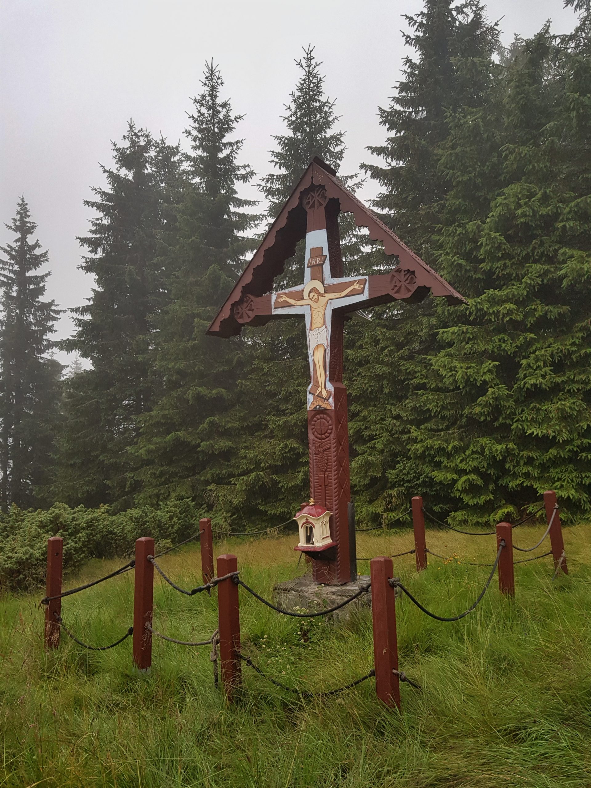
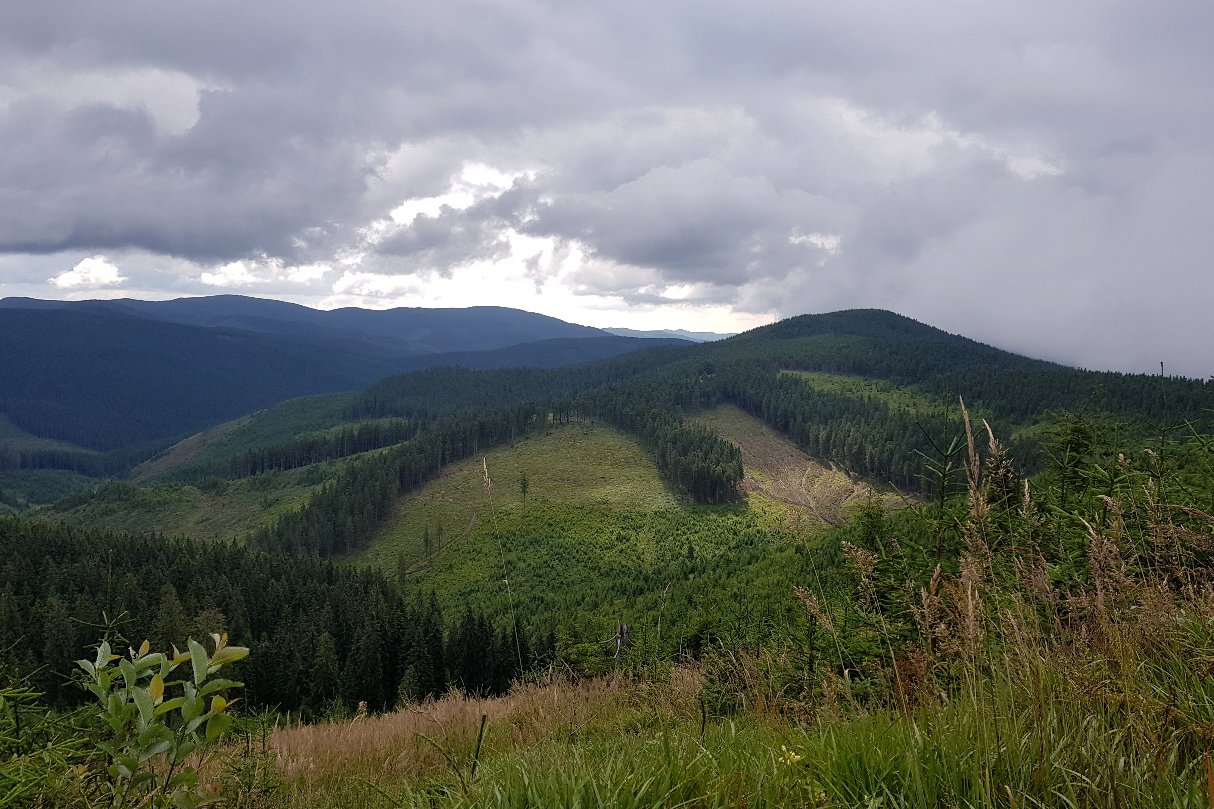
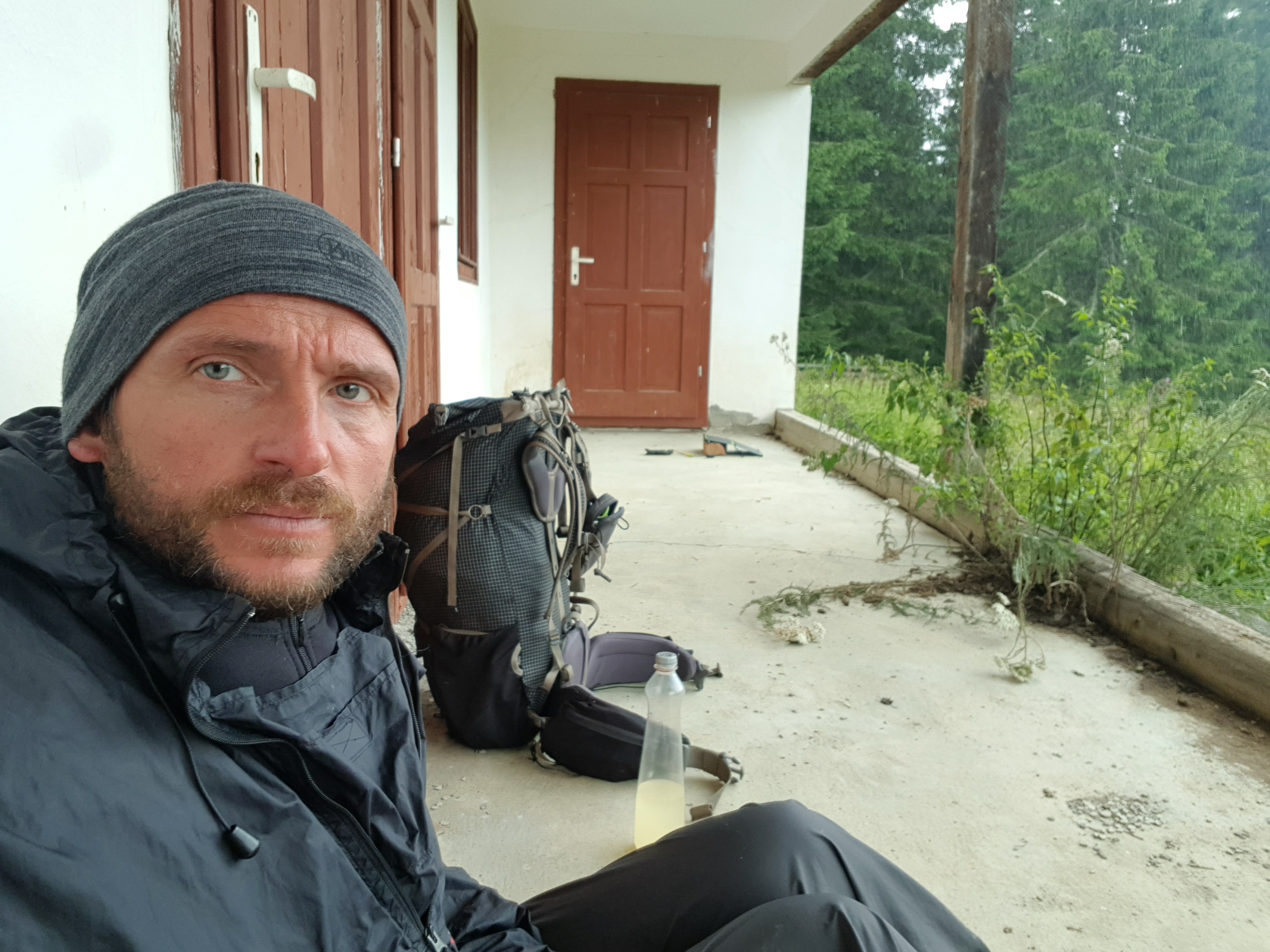
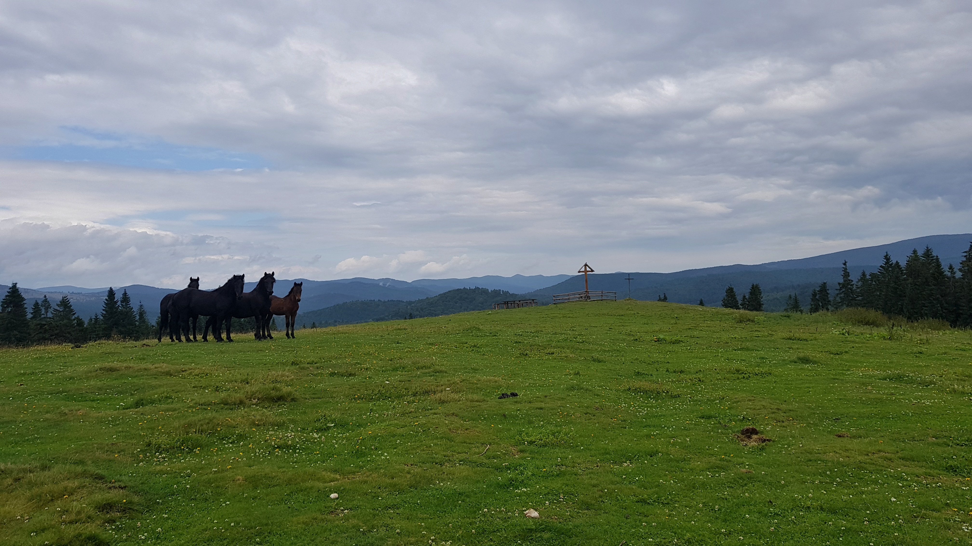
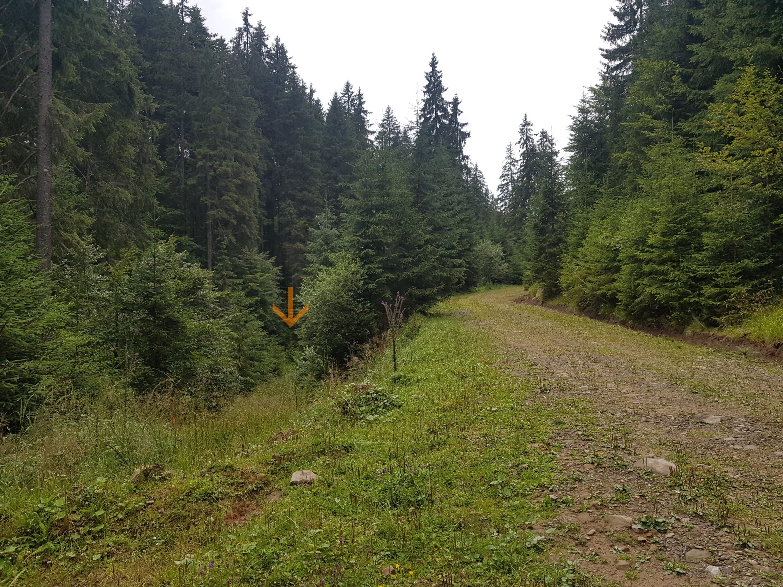
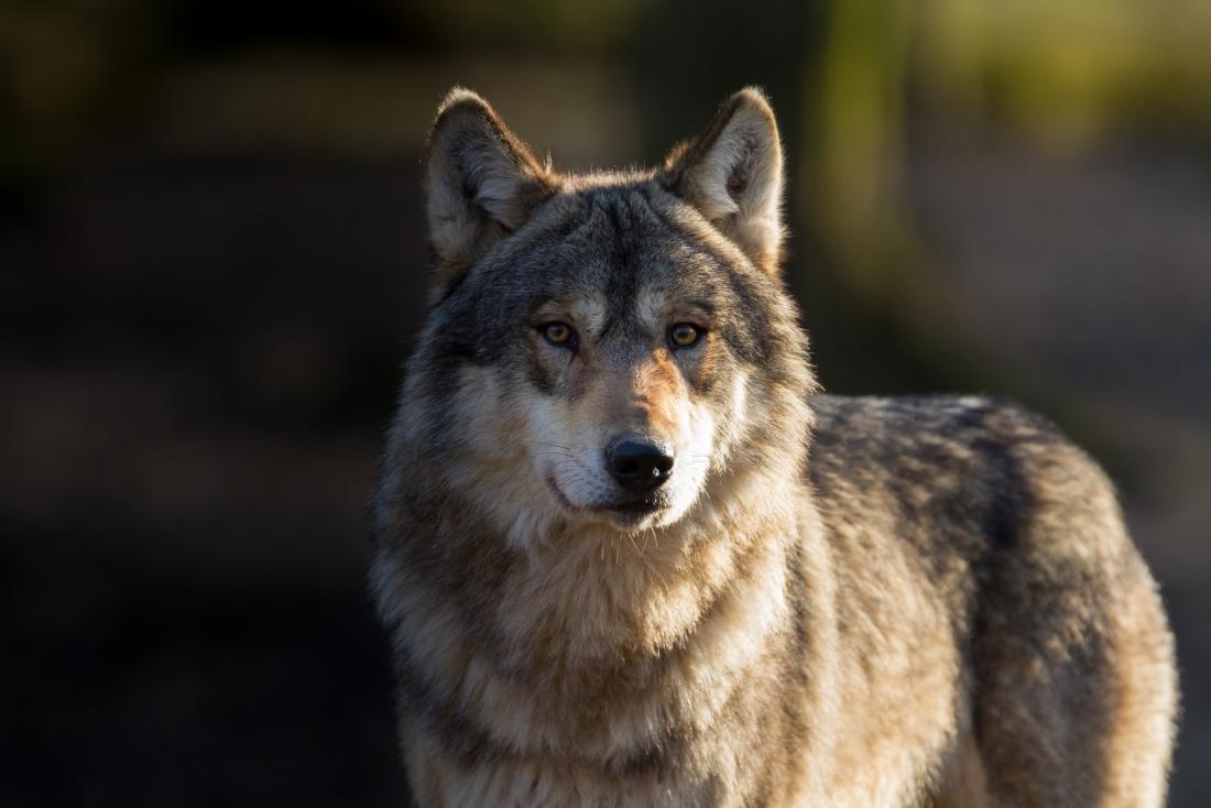
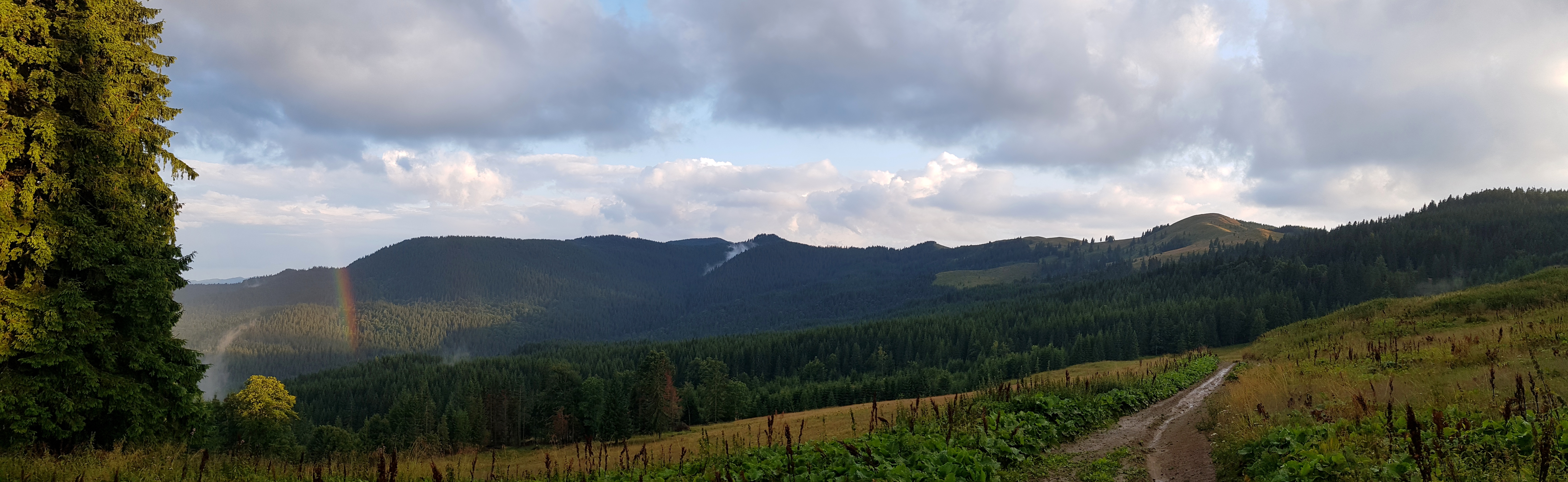
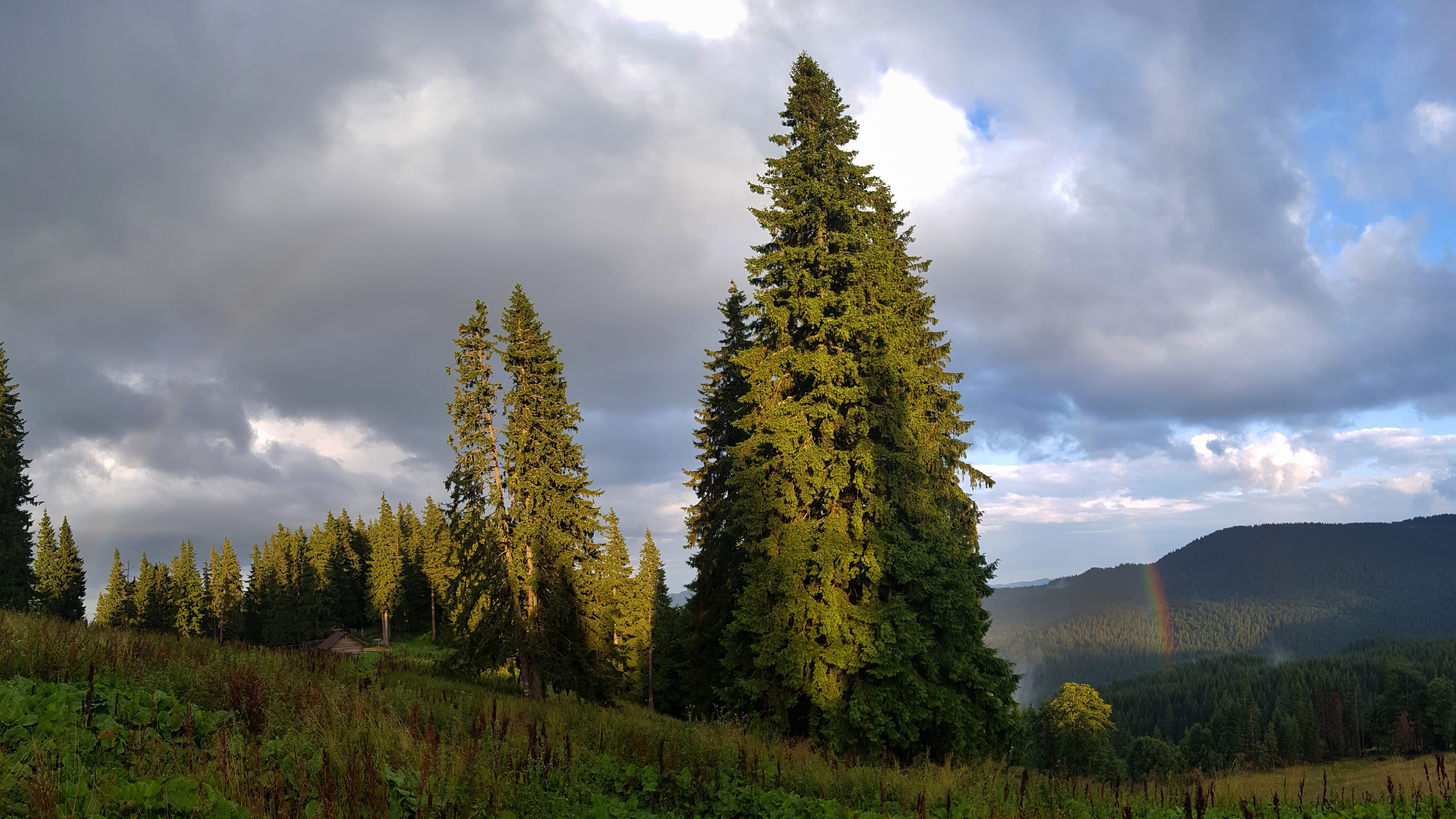