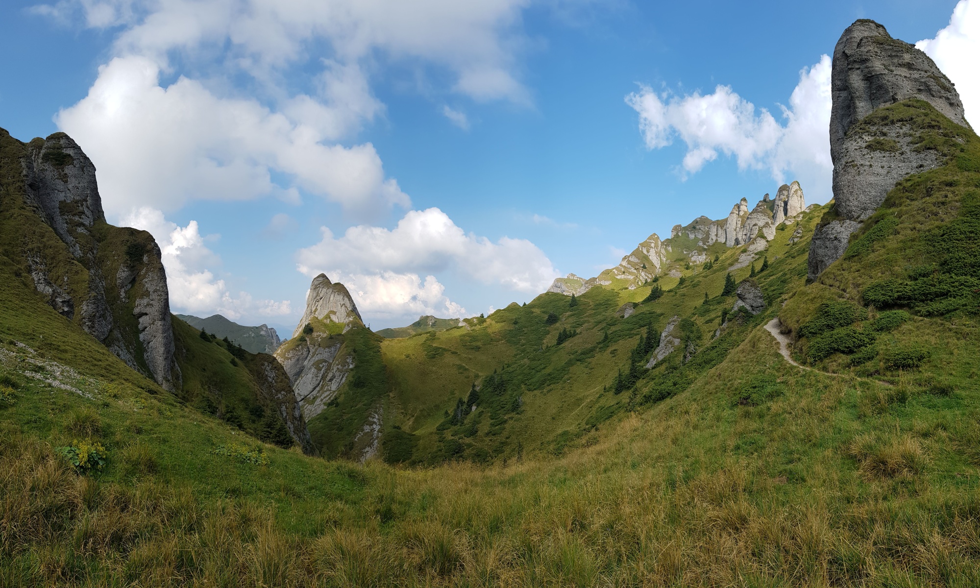
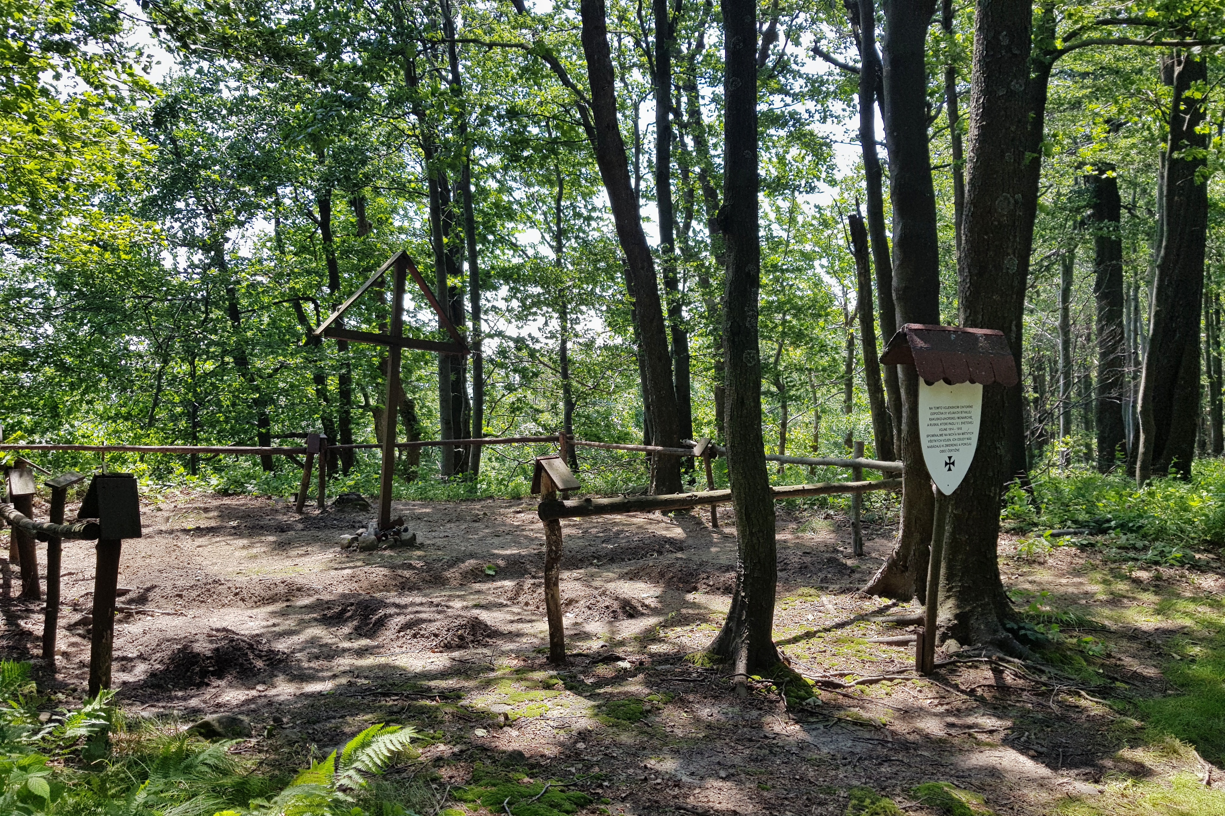
Abandoned village
I was looking forward to Monday 1st July very much. My son Radovan (16) was about to join me on the trip. As I was staying overnight just next to the Čertižské pass (575) – our meeting point, I could enjoy nice views from the sleeping bag and explore the magic valley further. It appeared to be a former village Czeremcha resettled during WWI fighting and never settled back with descendants of its inhabitants now spread around the world.
Tourist signs at place showed some sense of humor pointing to Nordkapp or the highest mountain of Ukraine. The whole place was magic as human touches were still clearly visible in the landscape but the settlers missing.
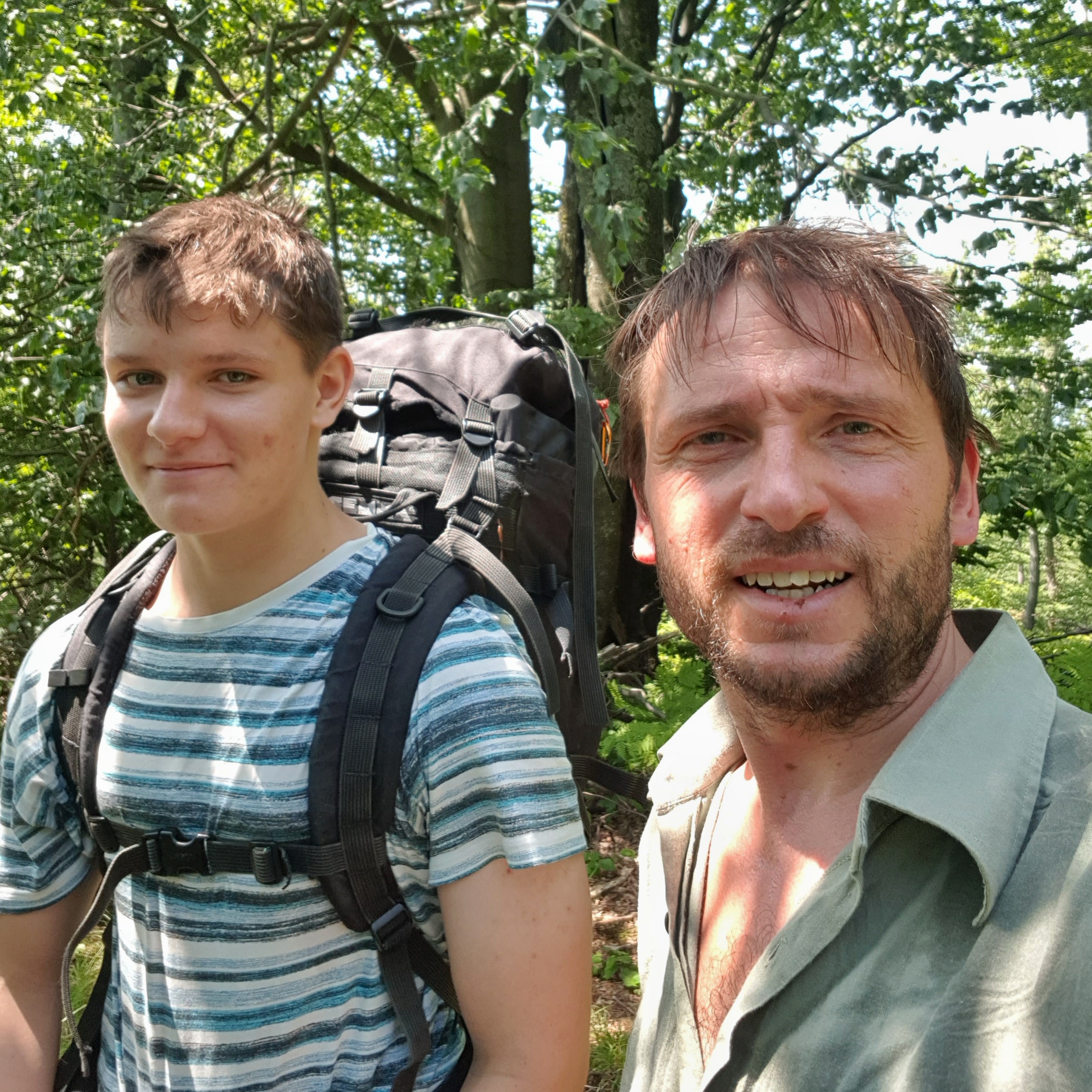
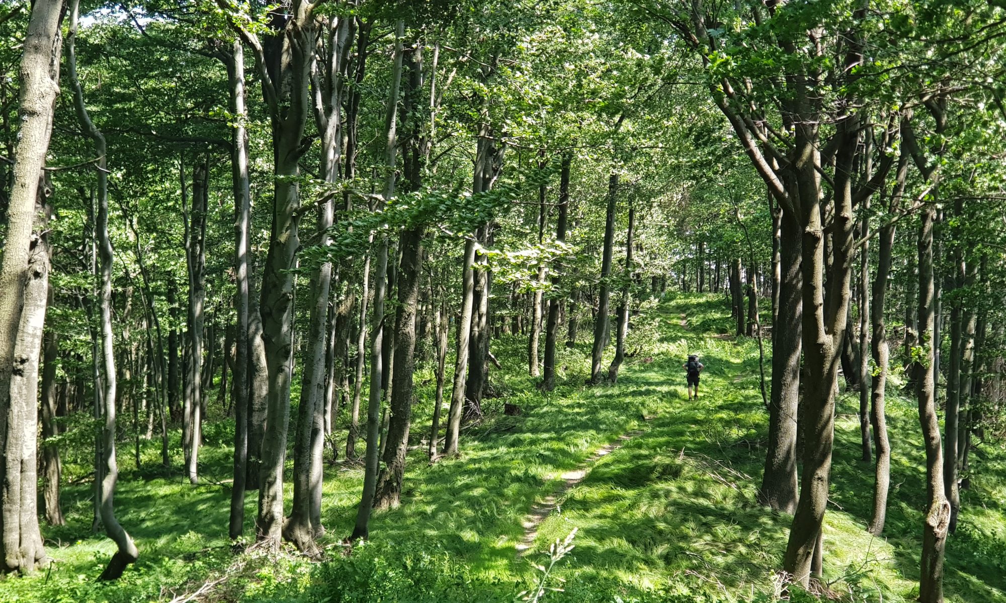
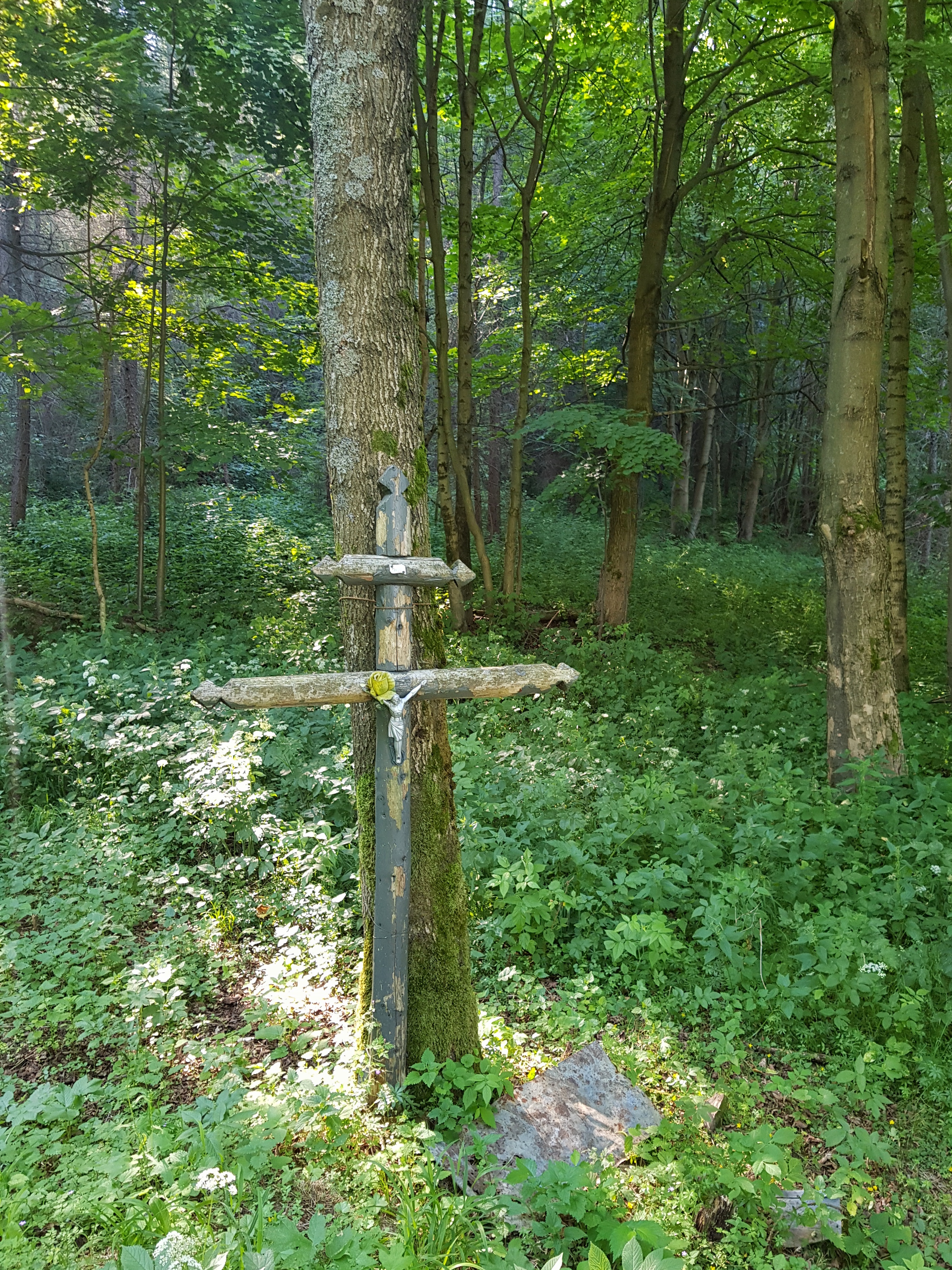
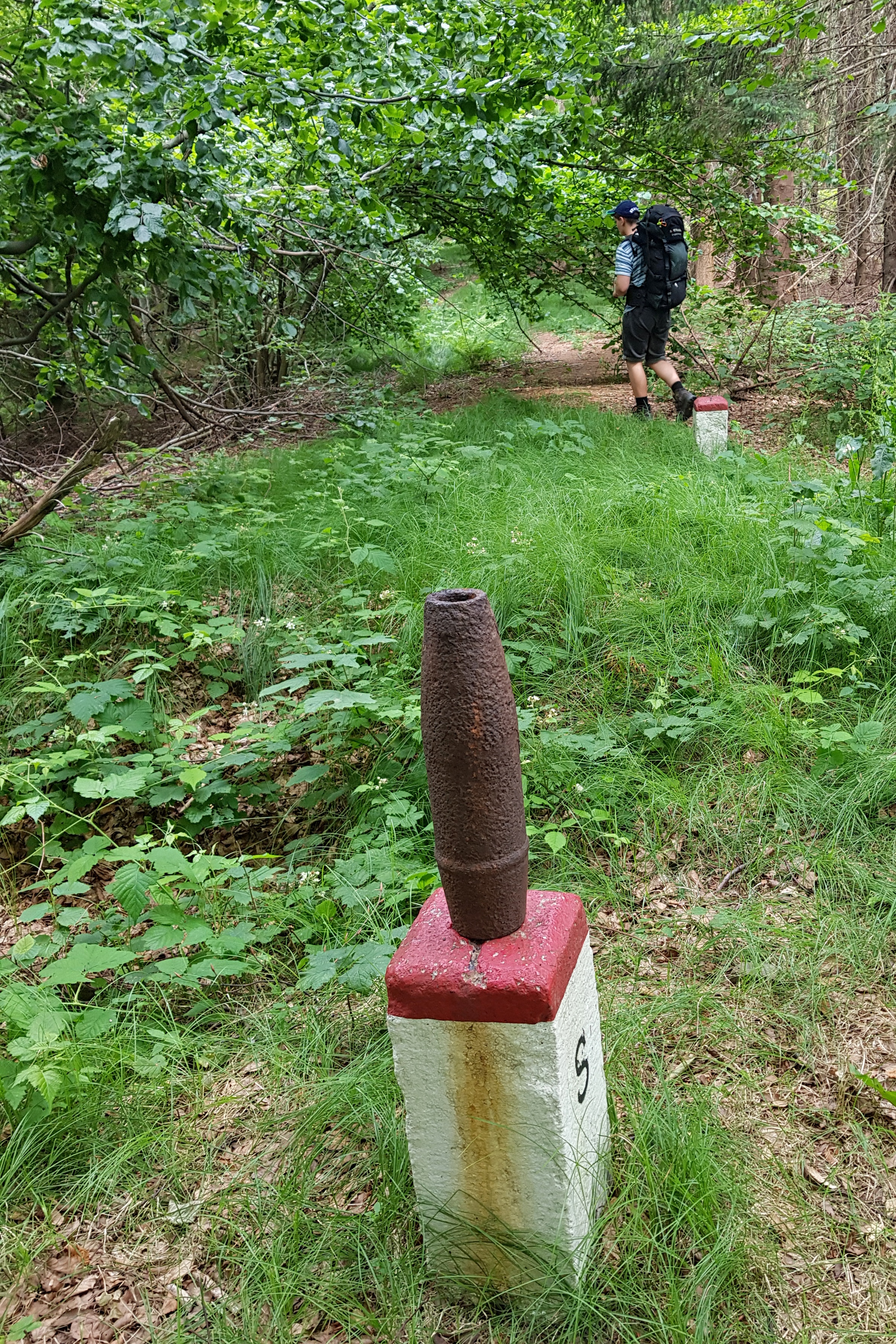
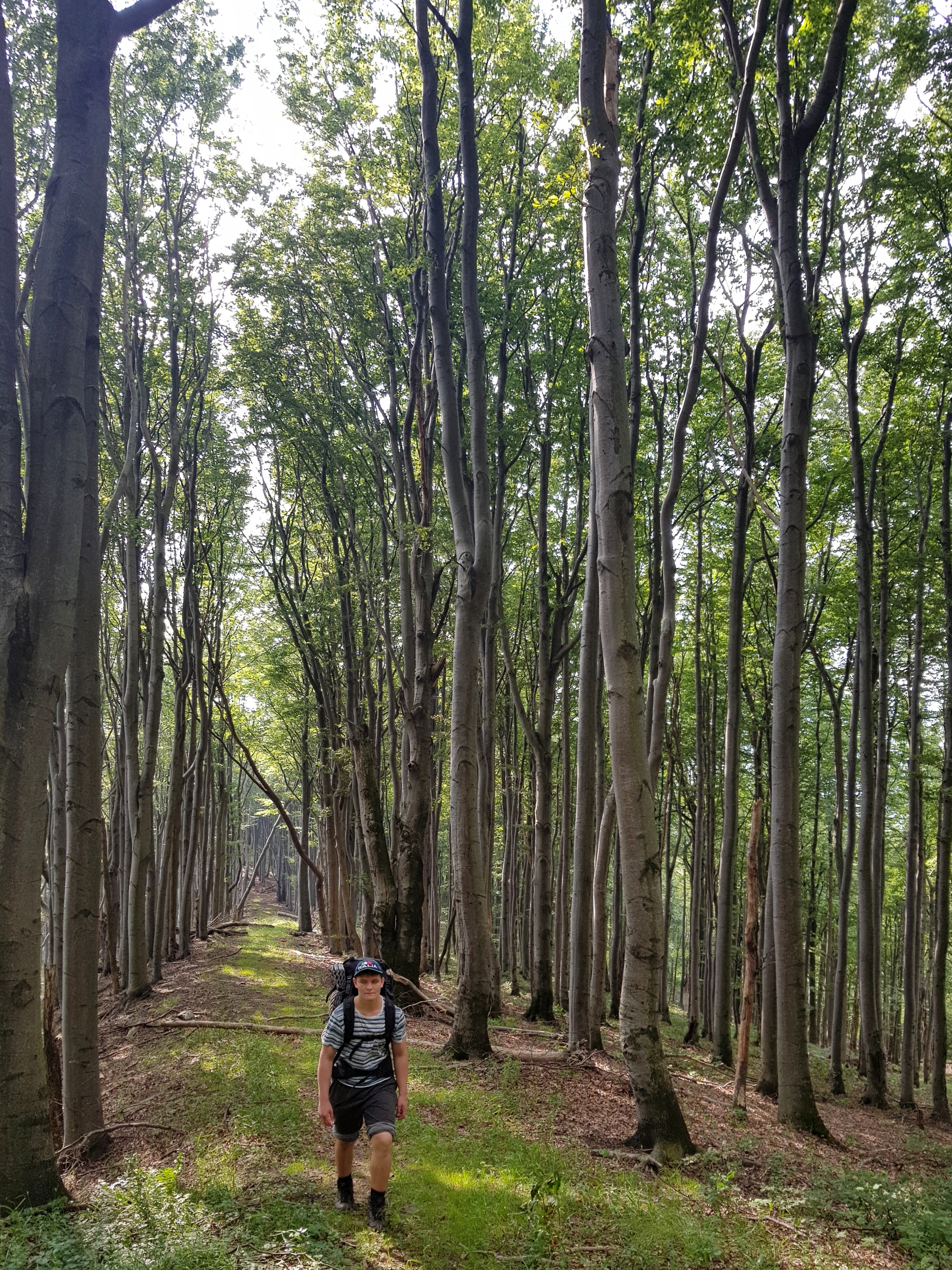
Radovan took with him fresh supplies and despite of the fact we started at about noon, we walked over 30 kilometers through the endless beech forests and similarly endless trenches from the past wars. There were many military cemeteries and war memorials on the way. The panels only claimed numbers of soldiers buried at a place. Sometimes passers-by put remnants of shrapnels and other reminders of fighting on border stones.
The water sources are scarce in this part of the Carpathians so we needed to drink a lot at water sources and took with us some extra supplies. Even the spring of Laborec river was dry.
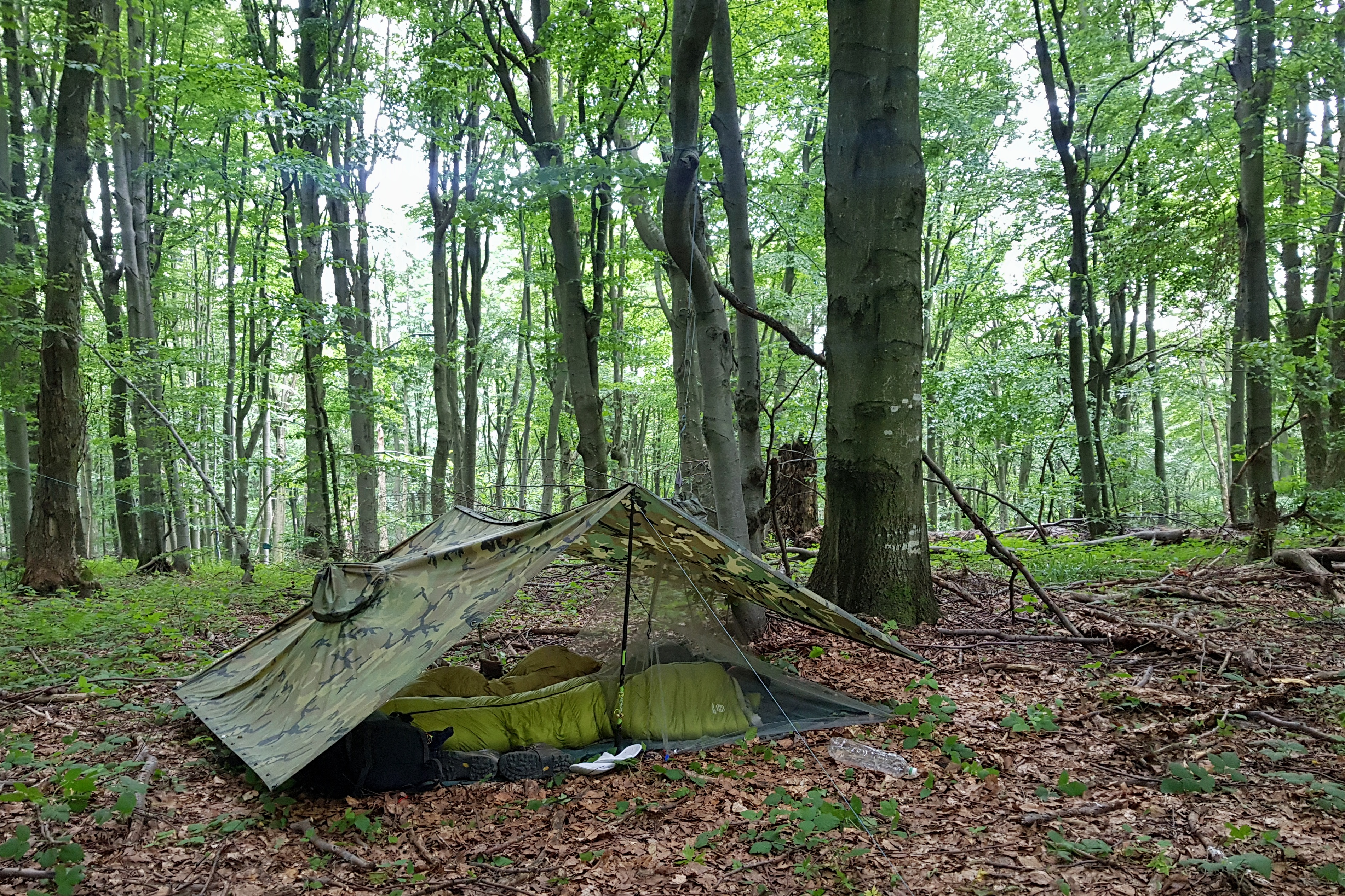
As we were two, we stayed overnight under a tarp made of two US army ponchos snapped together – my typical tarp before buying SMD Gatewood Cape. Setting a tarp was wise decision as a rainshower came overnight.
Supply package looted
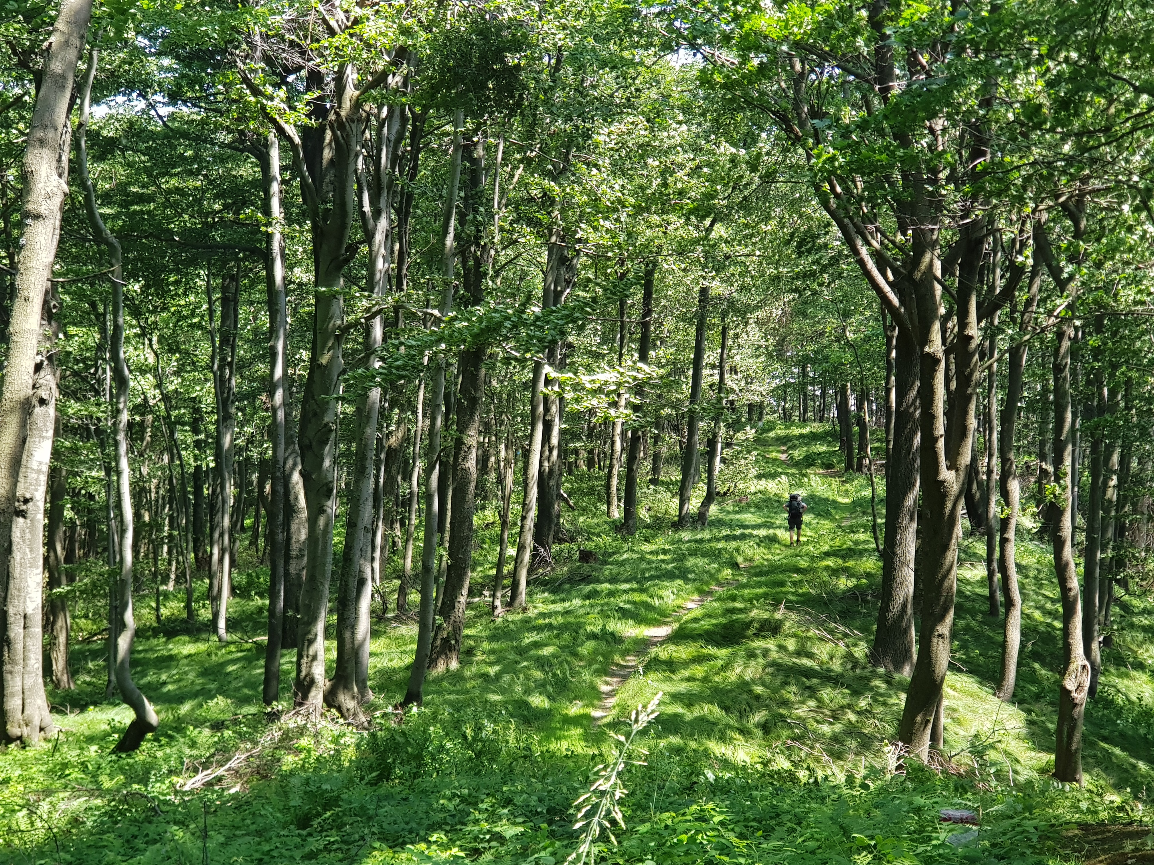
Being warned about lack of water, we were cautious while hiking on Tuesday 2nd July, though it appeared that at the end of June with rainy May, the sources are still in the flysch bedrock. The trail switched to footpaths overgrown by vegetation at some parts near Laborec pass (604) and Luków pass (640). We also met some multi-day hikers. Mostly Czechs for whom this part of Eastern Carpathians symbolize wilderness.
The trail led through unmowed meadows and mostly beech forests. Again we could see trenches and other reminders of the hell soldiers experienced here in the WW I.
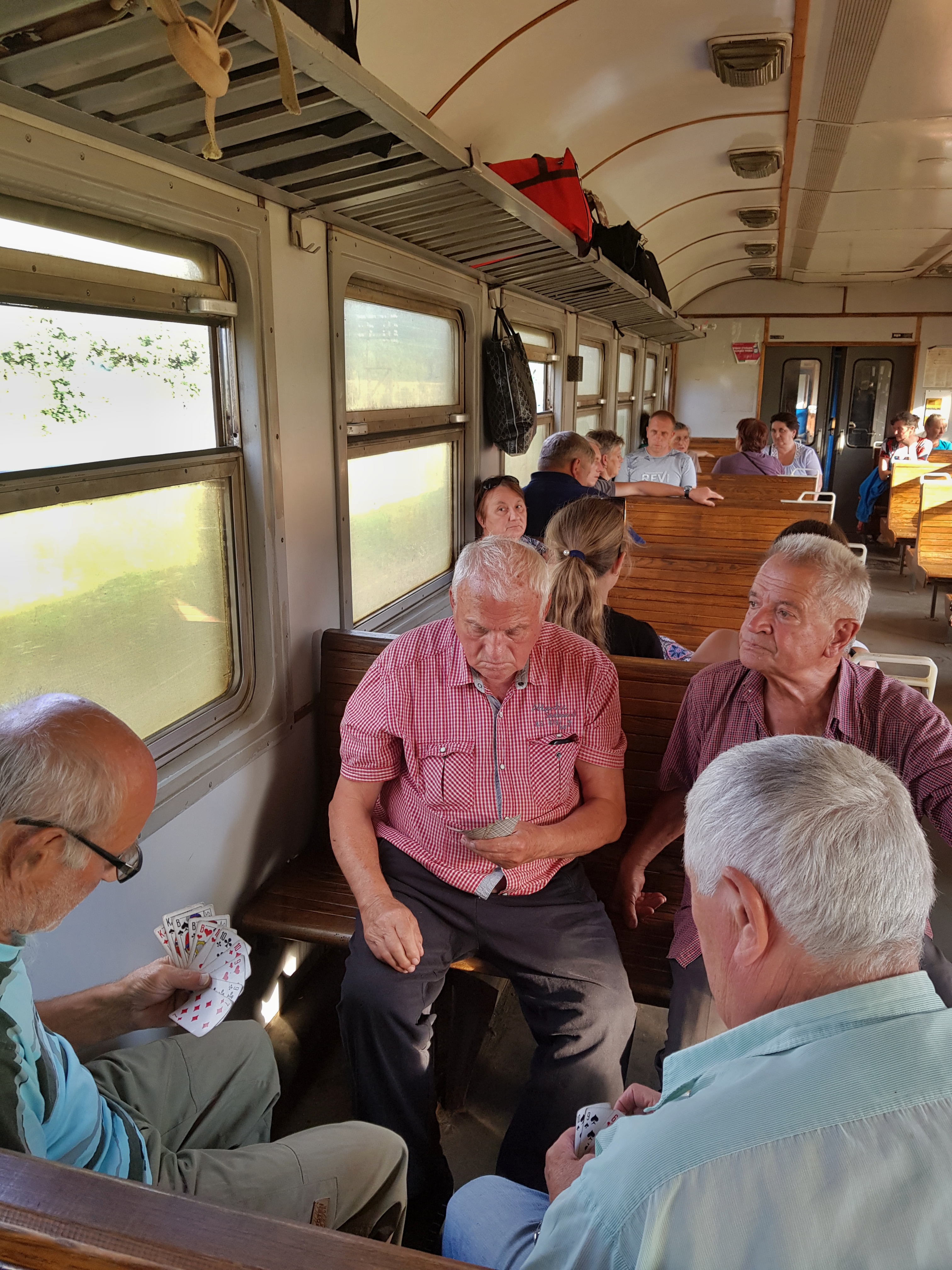
Radovan made his best to reach Osadné village, where my 2nd support package was sent. Thus after walking 42 km we could enjoy overnight in an open garden house of the only local “hotel.”
There seemed to be some misunderstanding regarding the supply package so we found it opened and some supplies missing. According to one local the package arrived to a local pub and people started to take things as if it was a humanitarian aid parcel. Anyway, we were OK as our backpacks were heavy enough thanks to Radovan’s arrival with food supplies.
Unexpected rest day and losts
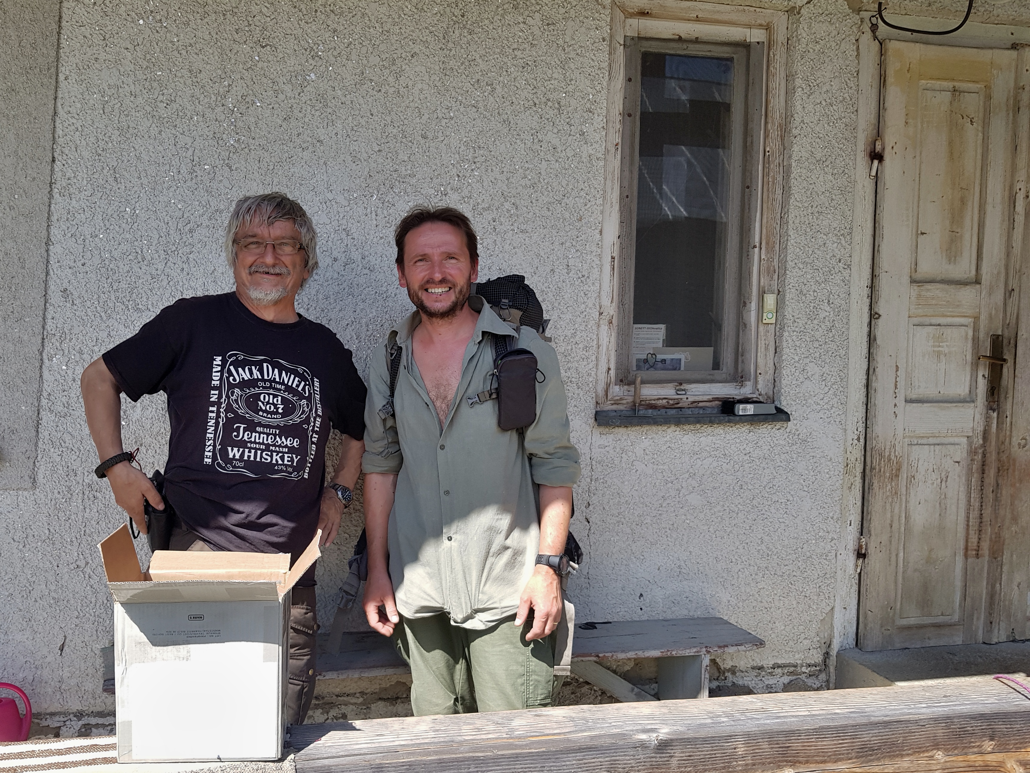
I used the opportunity to wash my cloths and it also took me while to go through the package, write the blog etc. To make it short, we started hiking as late as 3 pm on Wednesday 3rd July. On the way back to the main ridge I also dropped in to see Juraj Lukáč – a legendary Slovakian conservationist. If you are lucky, you can see European bison in the woods in this corner of Eastern Carpathians but we were not lucky on that day.
Though I got my garments charged in Osadné, I tried to keep my phone close to 100% so I used every opportunity to grab some solar power and unfortunately lost my charging cable somewhere on the way. Later a man claimed he found it based on my plea in a shelter guestbook, but it appeared to be some other cable along with a charger.
As we entered Poloniny National Park, the overnights were allowed only on designated places. We stayed in Ruské sedlo shelter with a nice Czech couple and their dog Tekumseh (my favourite native-American hero). I also lost my handmade titanium pole somewhere near the shelter.
Unsuccessful attempt
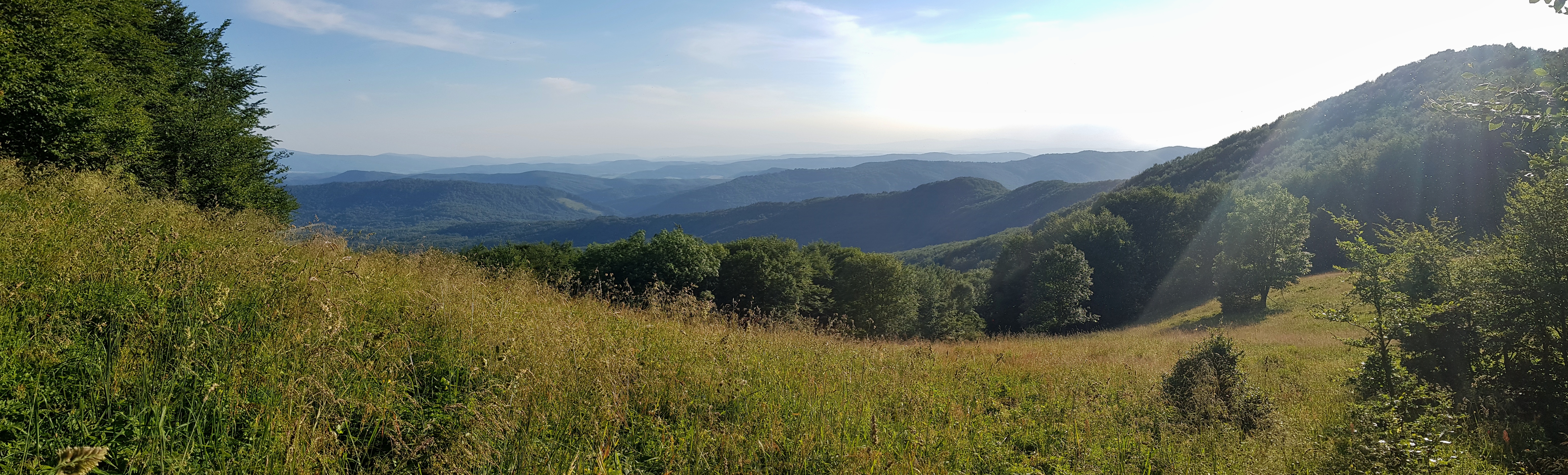
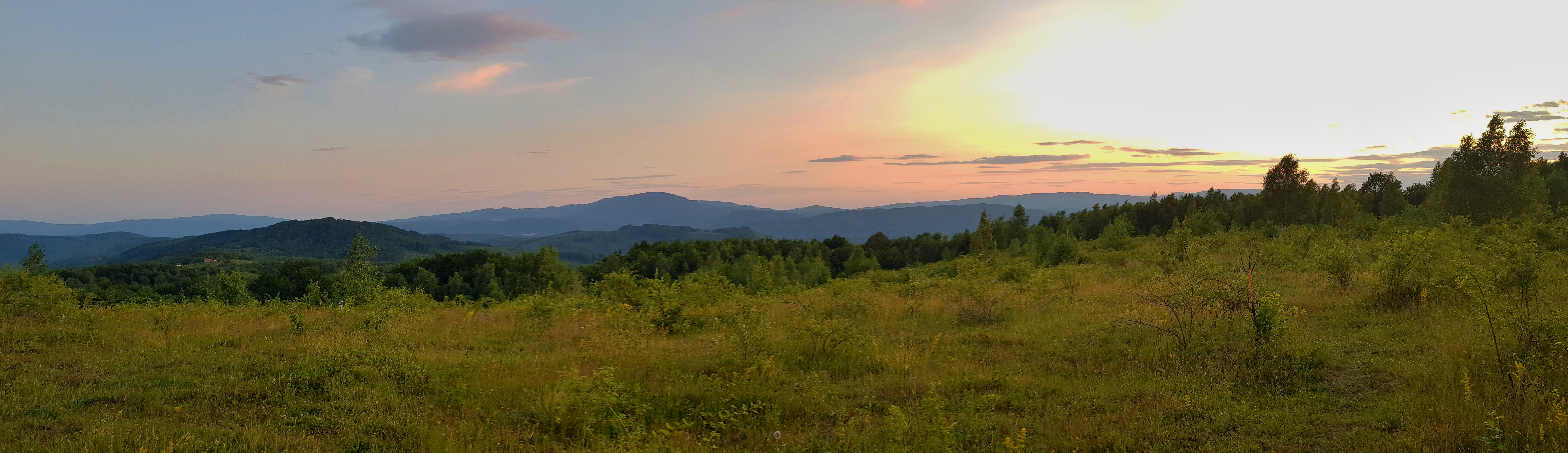
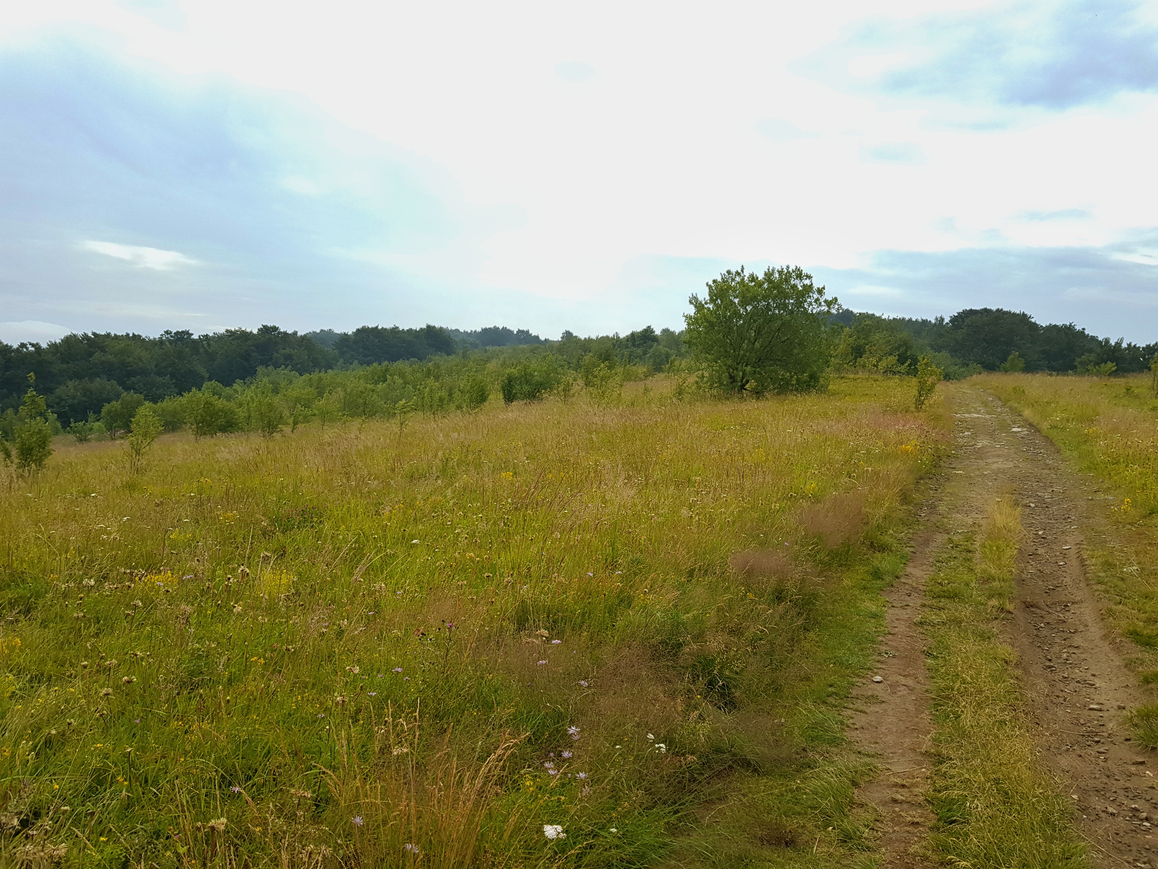
Though my original route was not going through the point, where borders of Poland, Slovakia and Ukraine meet, we decided to go there on Thursday 4th July so that Radovan could reach it (I was there in 1991). The range opens up a bit in this part so it leads through some former pastures that are now high-grass meadows providing finally some views around.
The place in the picture to the left brought back to me memories from 1991 hike when we were unsuccessfully searching for water here and went to sleeping bags thirsty. I then woke up in the middle of the night screaming because in my dream a bear was approaching our tarp. Night rain solved the water problem then. 🙂
About 5km from the point where 3 borders meet we stopped near a shelter, where a Slovakian group invited us to their barbecue. It was necessary to plan next days carefully because Radovan needed to leave back home by Sunday. So we decided to miss the point since there was no opportunity for staying overnight in its vicinity and descended to the valley near Nová Sedlica.
There were some horsemen and horsewomen at a shelter for tourists, which seemed like a nice company for the night but then group of locals came with spirits so we rather found a place on a meadow away from the company.
Rainy welcome to Ukraine
Friday 5th July promised us lot of walking on tarmac – a hiker needs to leave the main ridge in order to reach the nearest crossing point to Ukraine (Ubľa – Velikij Bereznyj). To my surprise, villages of Nová Sedlica and Zboj were full of tourist amenities financed from EU funds like a visitor centre. A meteorite that fell from the above in June 1866 is considered one of the main local tourist attractions as it for some time was the largest known stone meteorite in the world.
To manage Radovan’s departure from Uzhgorod, we took bus to skip one village and 10 km of walk on tarmac. It appeared to be right decision, because during our lunch break near a forest pond 2,5 km from the border crossing the sky turned dark and sounds of thunder could be heard from NW.
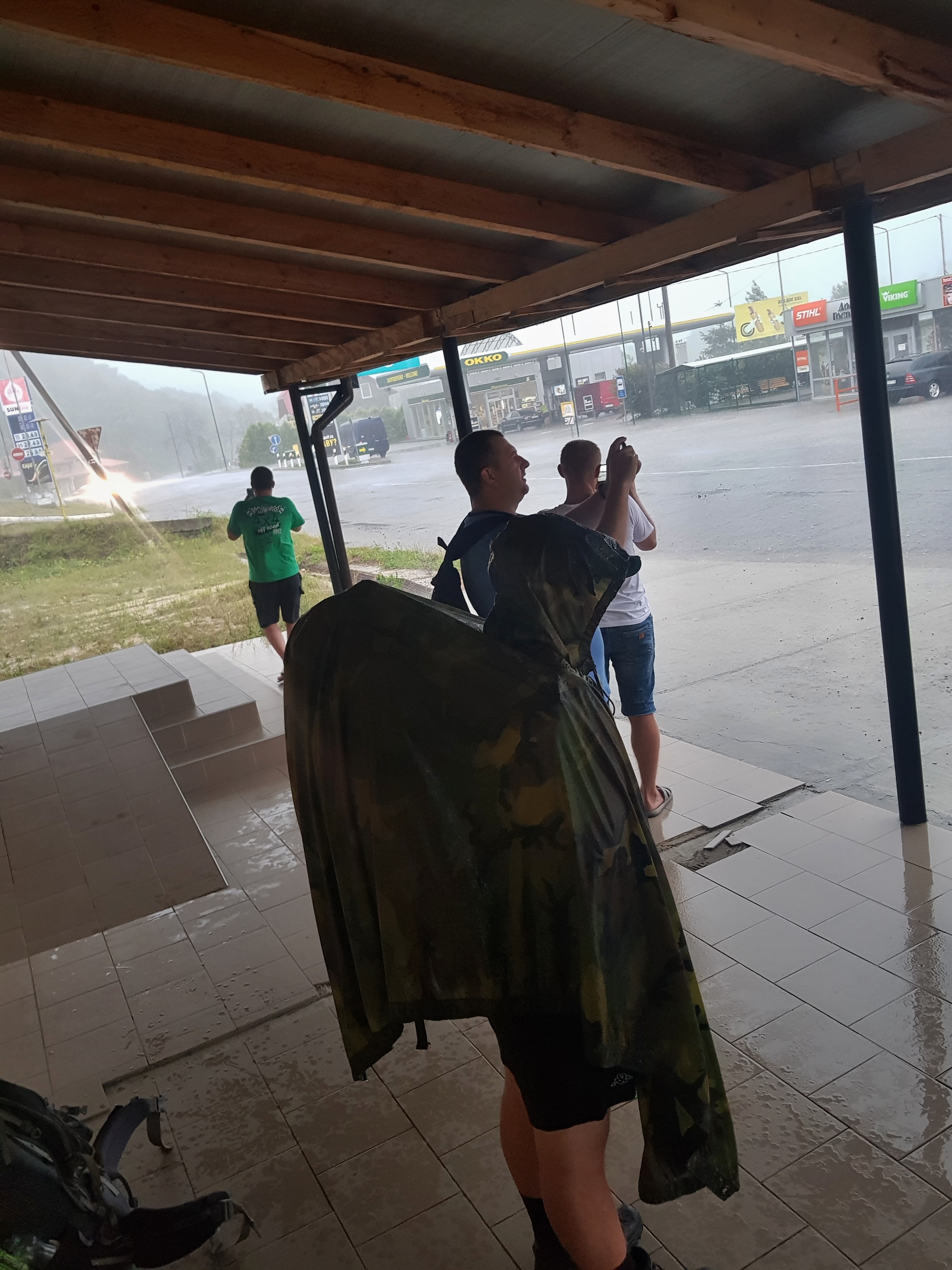
We could see at least a hundred of cars left alone near the road to the customs, some of them already looted. I think these are the cars Slovakian customs did not allowed to leave the EU. Few hundred meters before we reached the customs it started raining. It took time to go through the customs but the thunderstorm was not over. We walked a kilometer to Ukraine and along with other pedestrians took shelter in a small commercial zone set up to provide Slovakians with goods for cheap Ukrainian prices. The rain turned into torrential so we were lucky to watch it from under a roof.
When the thunderstorm left, we decided to walk longer on paved road rather then following the trail through forest. Radovan could barely walk feeling pain from the soles of his feet so we searched for accommodation. We could soon feel the difference between the Czech and Ukrainian economies, when we paid just 23€ for a hotel room and large dinner for two.
A day-off in Uzhgorod
I felt we have got plenty of time since Radovan’s bus tickets back home were for 2:40 pm and Uzhgorod was just 45 kilometres from Velikij Bereznyj. I made some washing and wrote a blog in the morning when Radovan reminded me it is already 10 am Ukrainian time Saturday 6th July. I forgot about the time zones! So we packed fast and waited for a bus to Uzhgorod.
There are no timetables at bus stops but locals know at what time the bus comes. The transport takes longer than one might expect from the distance due to patchy roads, vintage buses, frequent stops and the payment agenda driver needs to do while both driving and calling from his phone. It is good to know, there are two bus stations in Uzhgorod, the distance between them is about 2 km.
In the city I soon learned some stuff is difficult to get in Ukraine like USB-C cable longer than 1m, inter-teeth toothbrush or PET bottle smaller than 500ml. I was suprised by many heavily drunk people I could meet on the streets and inner courtyards of concrete blocks of flats Saturday early afternoon. Another reminder I am in a former USSR country was advertisement on Žatecký gus – Russian made beer that pretends to be Czech. I can remember that Russian students, with whom we were building trails along the Baikal lake in 2011, could not believe we do not recognise this “famous Czech brand.”
Anyway, Radovan left home and I could finally have some cheap dinner in a restaurant while waiting for a train back to Velikij Bereznyj.
Crossing of the Uzh river (205) was one of of the lowest altitudes on my journey. I tried to make as much distance as possible because the weather forecast for the next day was rainy. I stayed overnight at a former pasture slowly overgrowing by forest.
Through the deep Carpathian forests
The forecast proved true on Sunday 7th July. Set of thunderstorms came at 4 am, fortunately they were always at least 2 km away from my tarp.
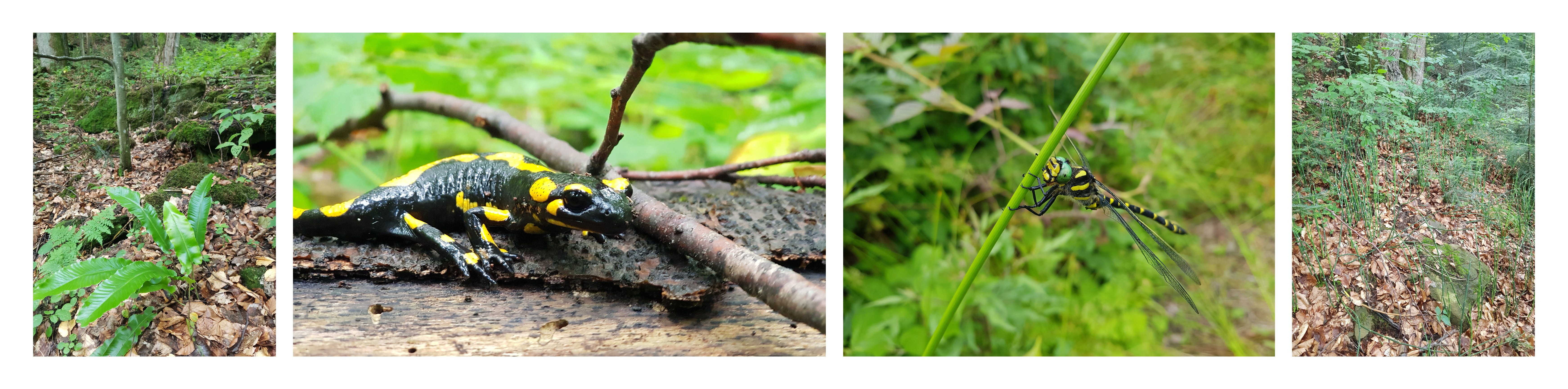
I followed the red trail to polonina Javirnik (1017) and then walked a side ridge as I planned before, which after few kilometers turned to an almost virgin forest interesting from a naturalist’s perspective but difficult to walk through.
The roads I planned to walk were full of fallen trees and overgrown by wet vegetation I could not see through as it was taller than me. So I resumed to descent to Ljuta river and follow the road along the river.
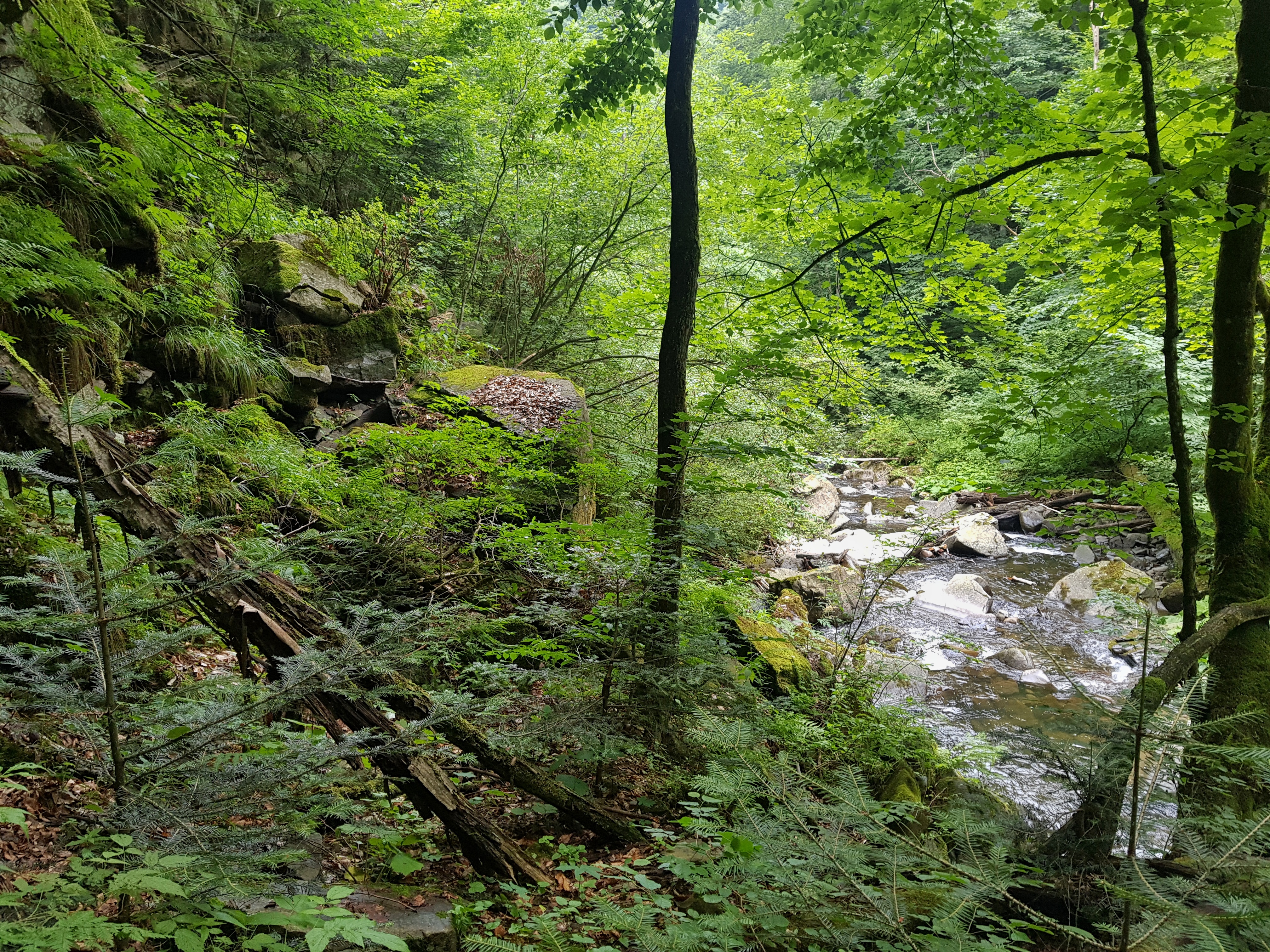
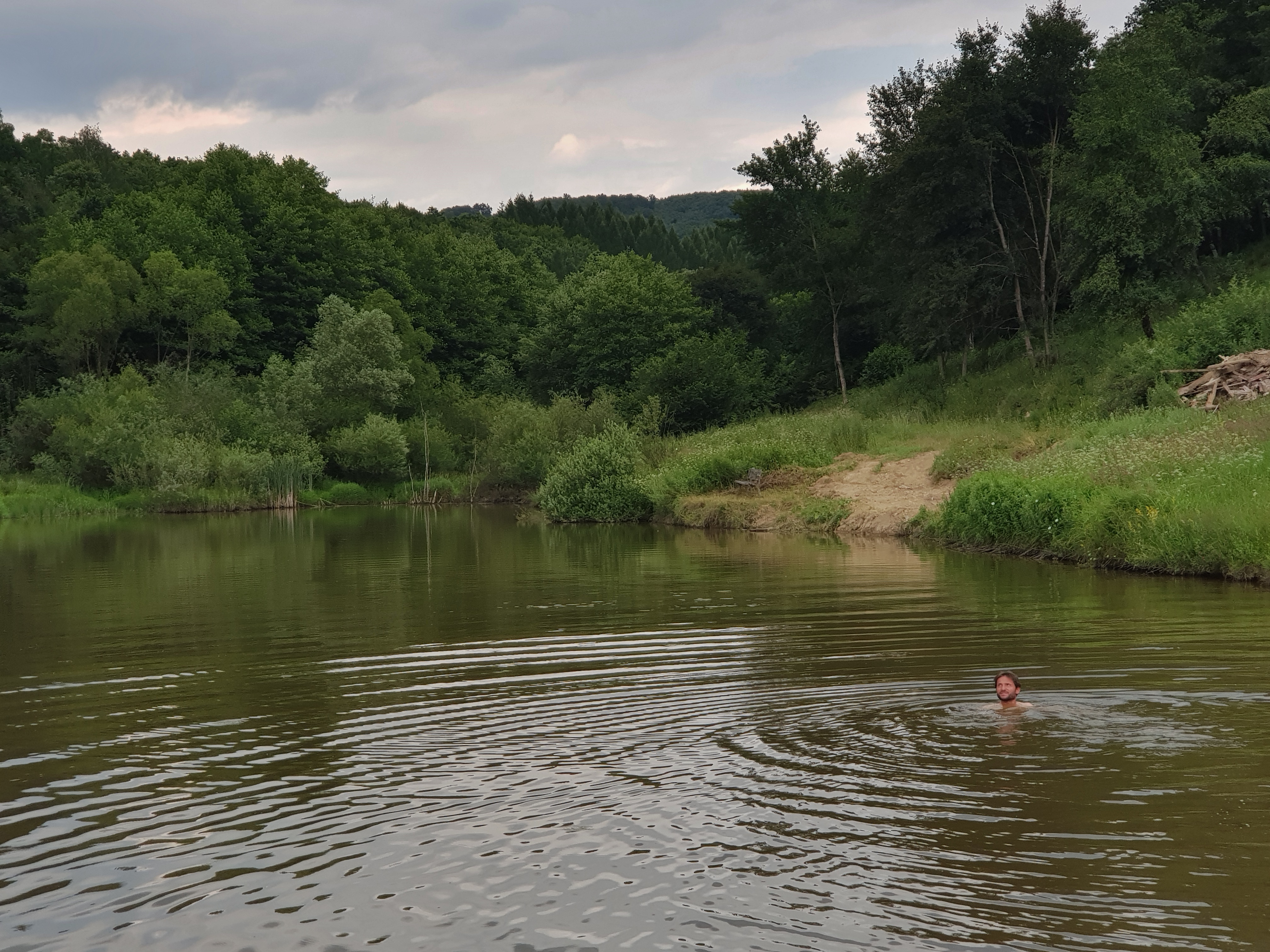
The footpath led to some popular swimming spot (called lagoon by the locals) but beyond it the once forest road turned into a bush and I again ended up climbing along a white water stream with a thunderstorm approaching – something I promised myself I would avoid on this journey.
Fallen bridges testified there once was a fine road along the river, probably at a time this was Czechoslovakia. However, today the left bank of the Ljuta is not suitable for hiking.
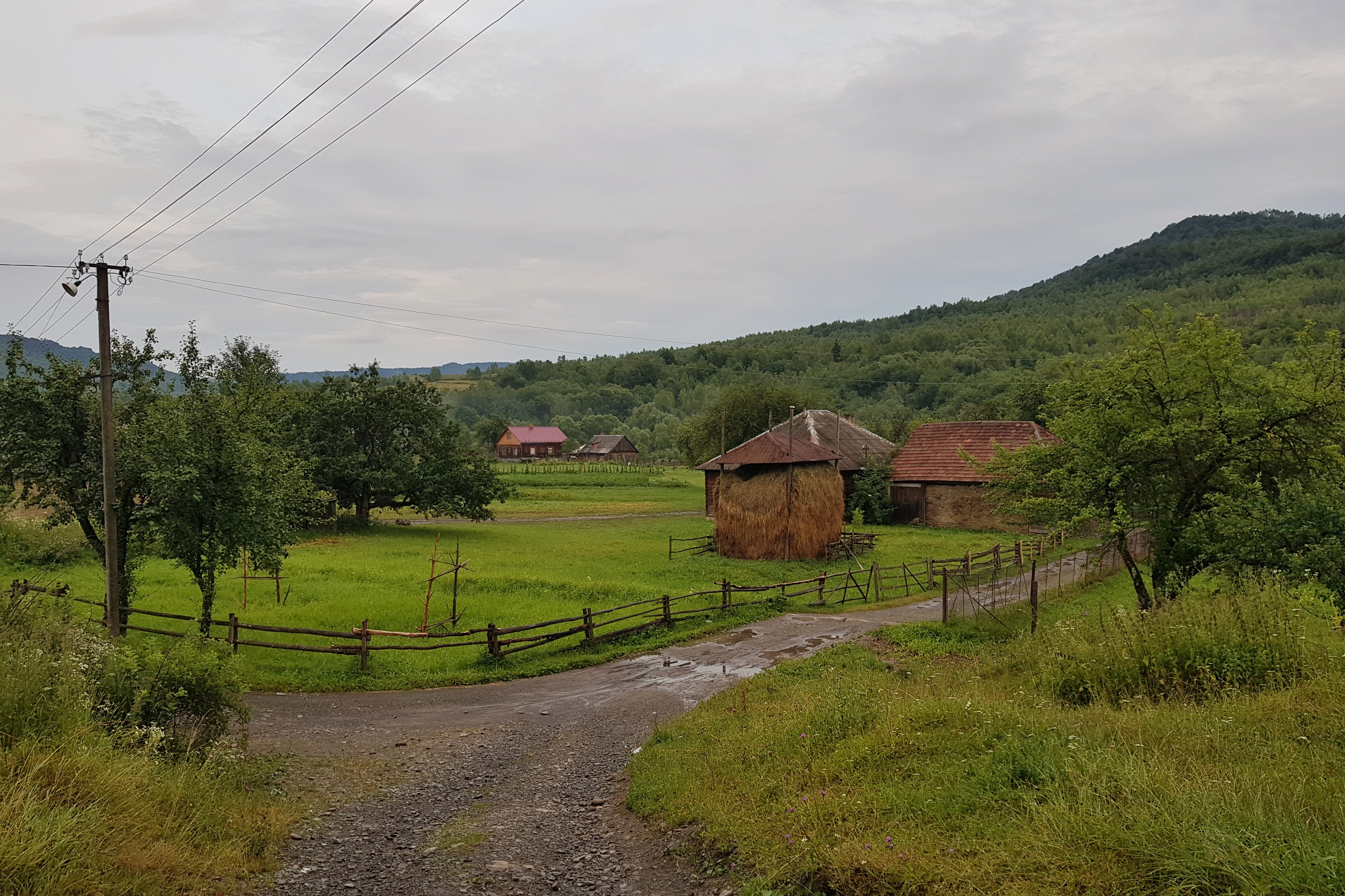
I needed to wade through the river again. The rain soon turned very strong and I could not believe my eyes when seeing a small shelter that enabled me to cook some dinner. I continued till the dark through the Ljuta village trying to find my way out of the valley among scattered settlements. This is always tricky because a hiker often ends up in someones backyard.
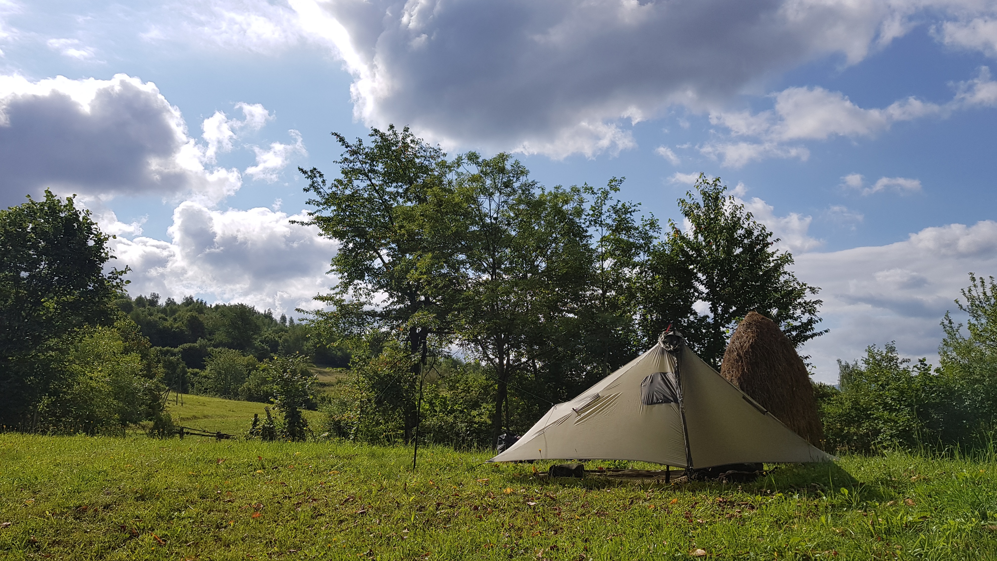
Fortunately every village in Zakarpatie is surrounded by mowed meadows that are ideal for camping so I put up my tarp on one of them close to a stream.
One Reply to “A week with Radovan”
Comments are closed.