Blueberry harvestors
I was not sure how fast the Campylobacter sickness pass. I felt extremely weak on Monday 15thJuly morning. With no rush I packed my stuff and started walking slowly. I hiked up Apecka (1512) mountain and started descending towards the border with Romania.
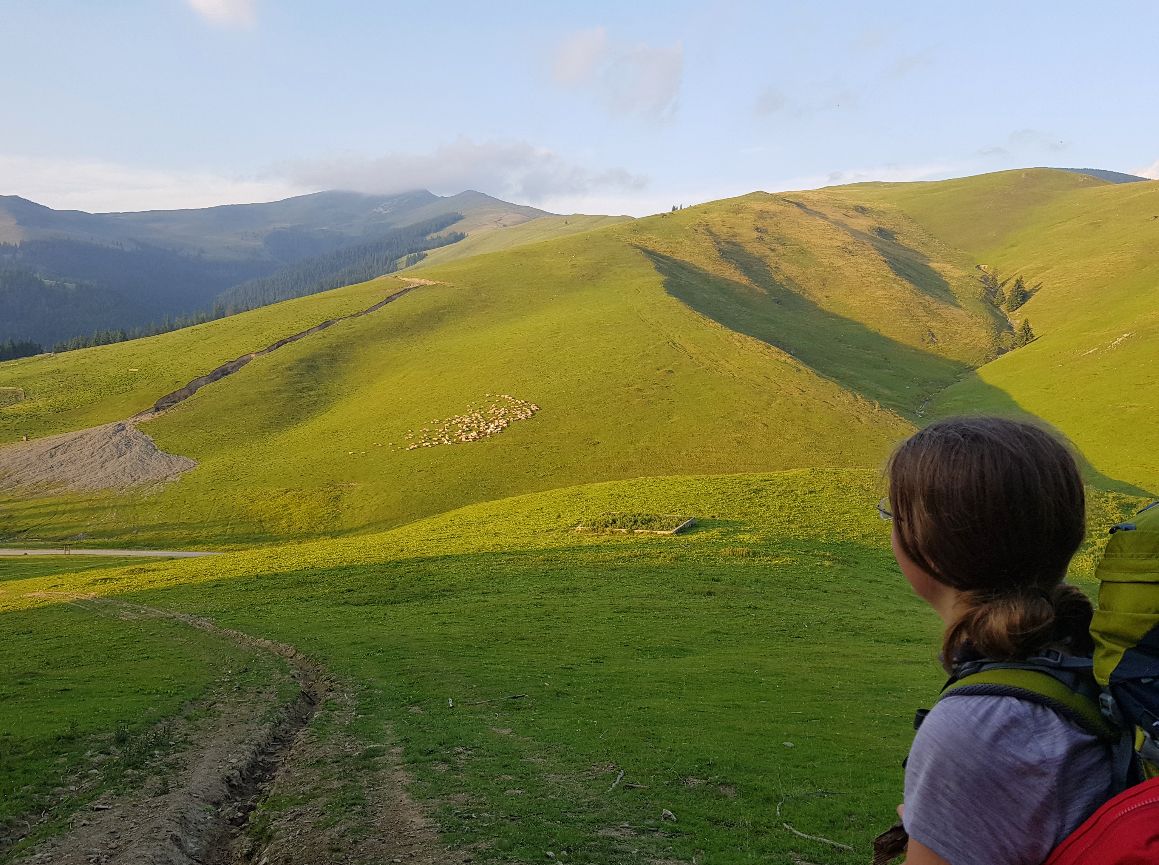
This mountain range was under attack from blueberry pickers. The ridge was full of cars. I could understand how the 4WDs got here, but could not comprehend how the Soviet era Zhigulis and Ladas made it. Hundreds of people were picking up blueberries while others were buying the berries from them right on the ridge into their lorries.
Many people were camping there leaving considerable mess behind. For a hiker this provides opportunity to add some valuable items on his/her menu. In this case I reused some onion and bread left by campers near embers after stripping it of wet parts.
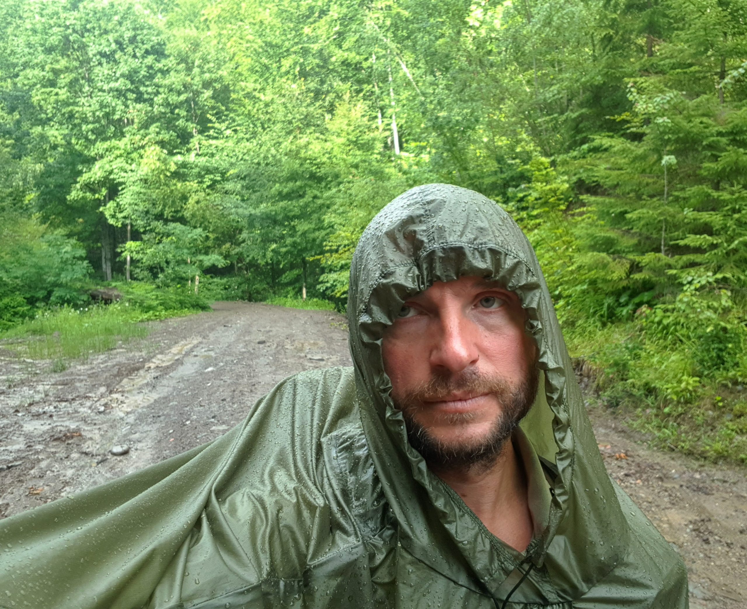
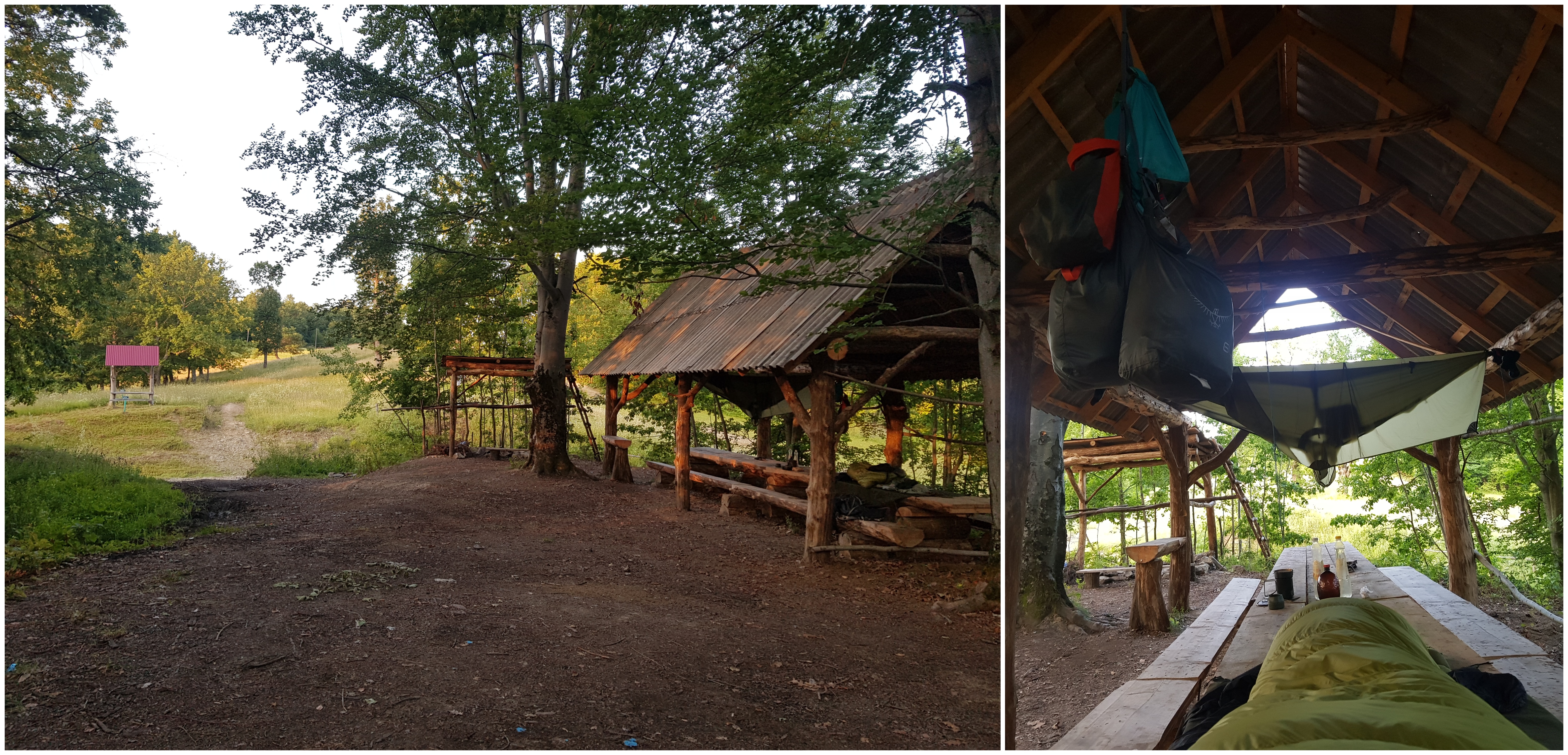
On descent I realized the forest road I wanted to take does not exist so I needed to make a steep descent through a forest. Fortunately the rain started half an hour later, when I was on a wide forest road. This forest district was different from the ones I went through before. There was no mess left behind loggers – right the opposite – bags for waste. Roads were signed and even when I approached a roofed picnic shelter in the evening there was no garbage around, which is extraordinary in Ukraine.
Approaching different world
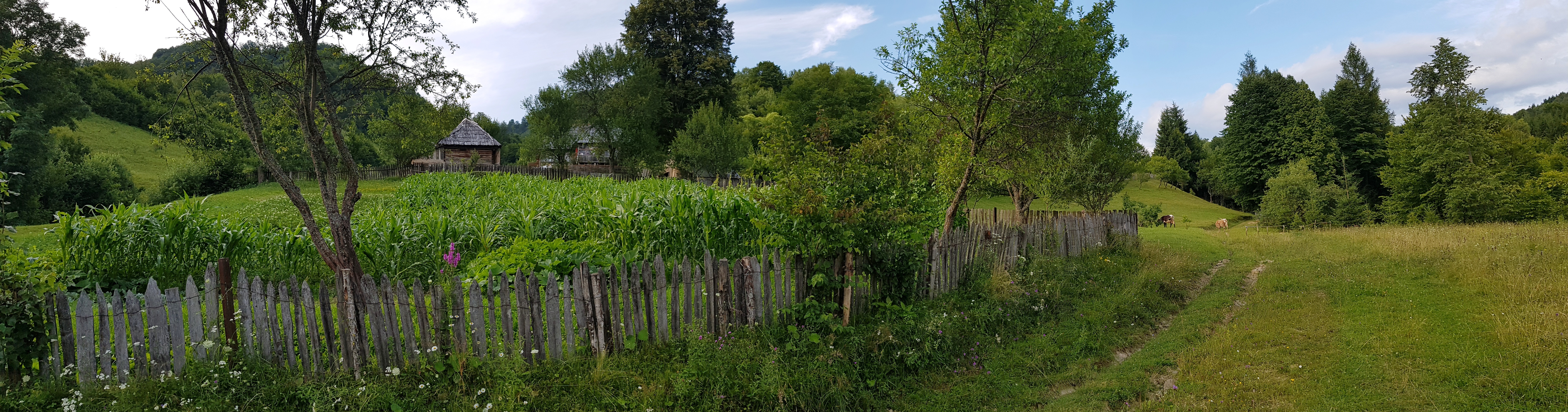
I continued descent to Solotvina on Tuesday 16thJuly, now feeling much better, almost full strength. Walking through villages was new experience for me.
I ate some yogurt in a bar/supermarket on the main commercial street of Verkhnie Vodiane that was full of merchandisers. This was prevalently Ukrainian village, while the next two were Romanian.
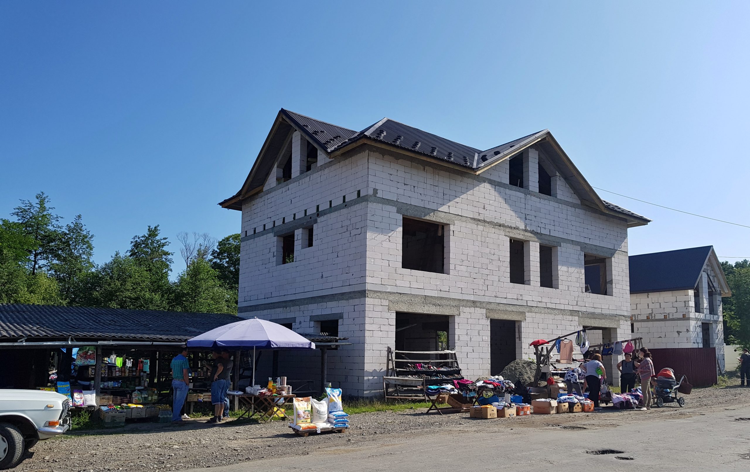
What all they had in common were many houses under construction, some of them apparently for many years.
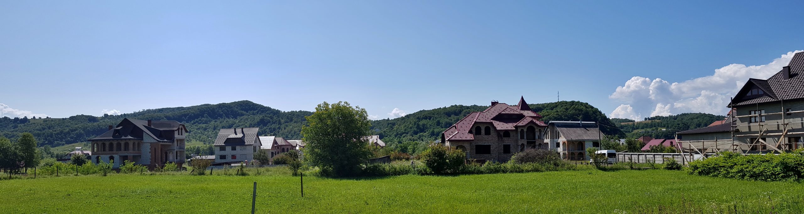
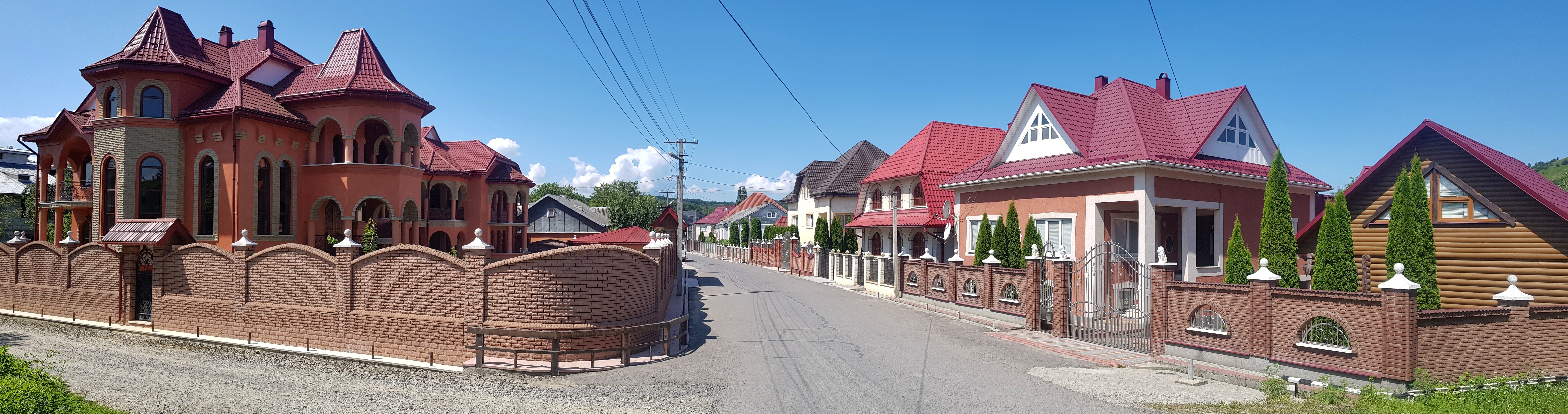
It was easy to guess what their owners wanted to achieve – huge shiny decorated houses; palaces would be better word for these structures shining through the streets of Romanian speaking villages. This was a collection of what we would label as kitsch, however I rather avoid judging different cultures. Anyway their glamor was in striking contrast to other infrastructure falling apart.
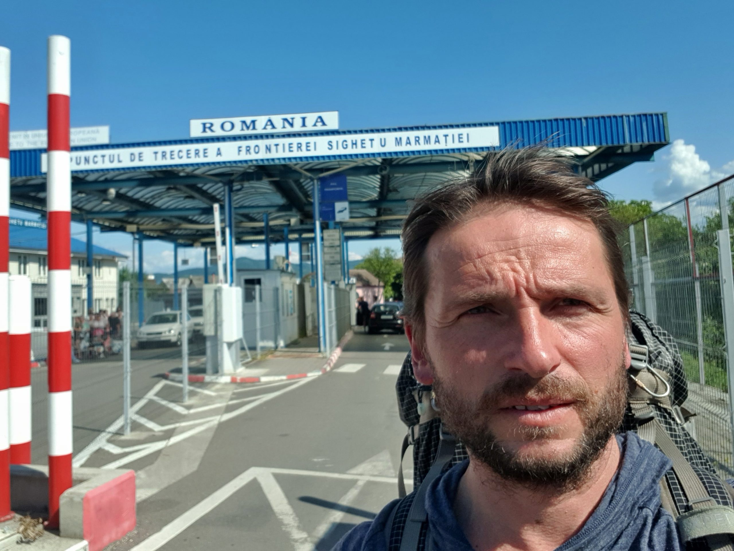
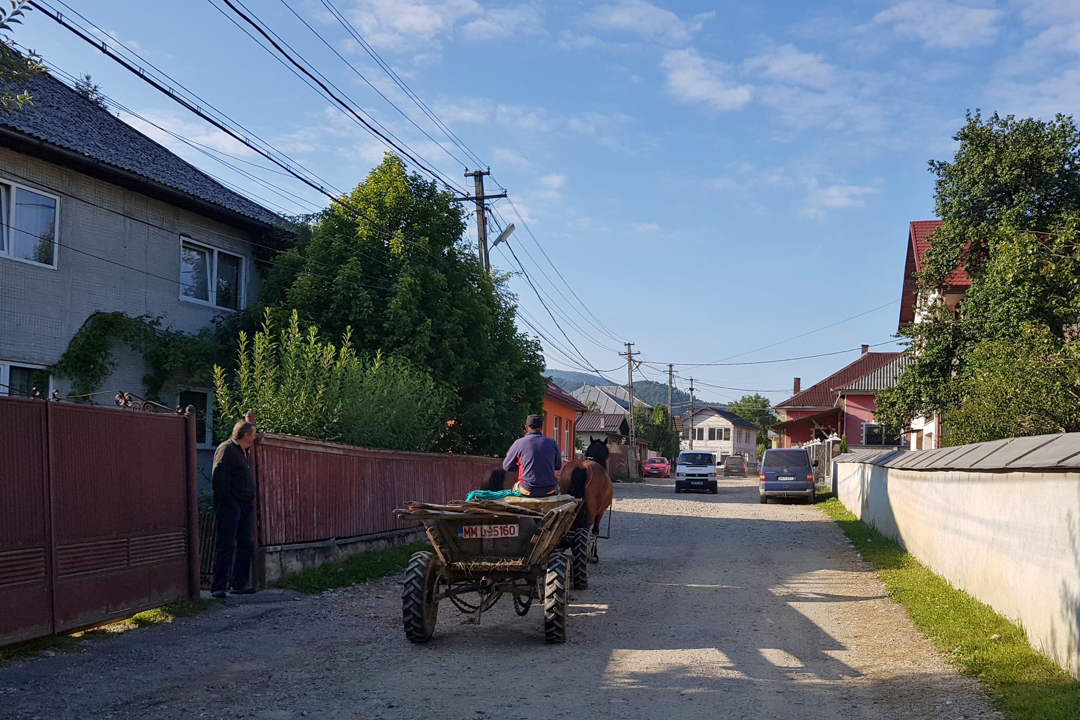
Early afternoon I approached border town of Solotvino with neighborhoods of run-down Soviet-era concrete blocks of flats. I tried to find a hotel, where I could have a shower and (ideally) make laundry. I found one quite expensive hotel but they only offered overnight. I spend my last Ukrainian hrivnas on kriwka candies and crossed an old border bridge over Tisa river to enter Romania. Distance-wise I was in the middle of my journey. This meant I could make it to the Danube if I keep the pace and avoid accidents.
Romanian border guards gave me some tips for a hotel in Sighetul Marmației but then said: “you should rather use the river.” They were right, I was not successful despite walking the town from north to center and west to east.
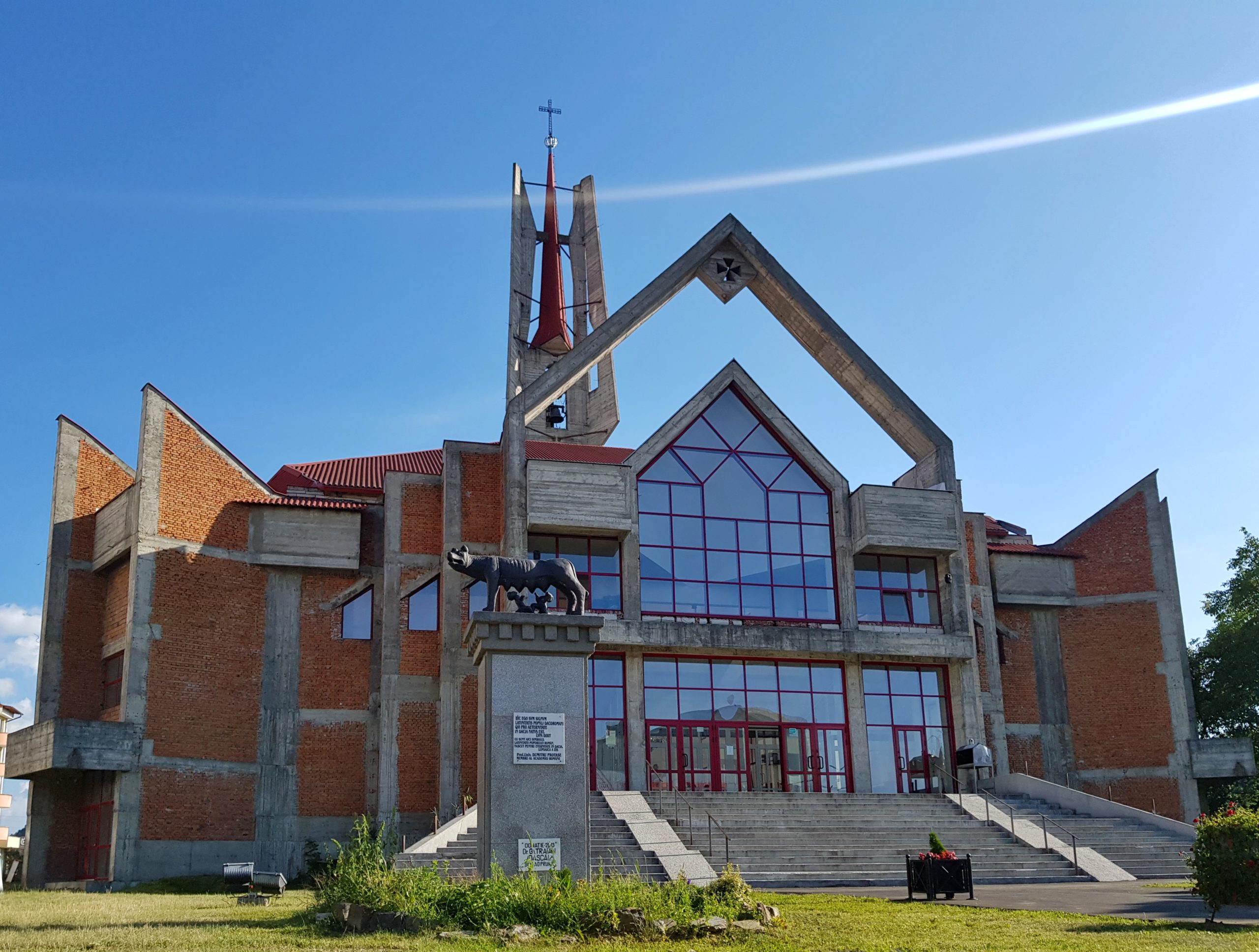
However much the palaces and unfinished orthodox and Roman-catholic churches resembled Ukraine, the difference was striking. The streets were alive. People were sitting in restaurants, chatting. There were services everywhere (and I even got inter-dental brushes in the 6th pharmacy I visited, item no-one was even aware of in Ukraine). The shops were full of different sorts of goods, though price tags were much higher than in Ukraine. One gets clear feeling of entrepreneurship spirit and the fact THIS IS European Union.
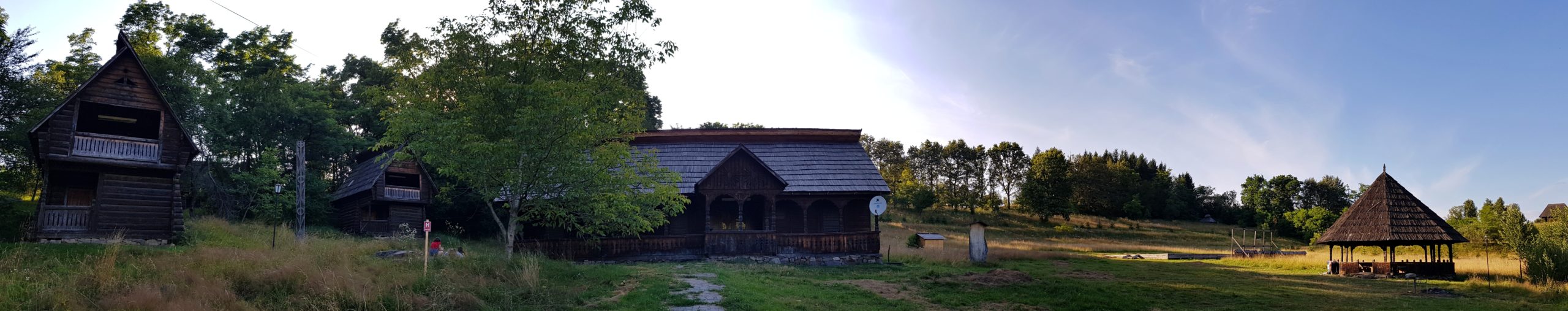
On the way out of town I somehow entered a gipsy ghetto in the middle of an old car dump, which was shaking experience. I continued along a river to find a place for camping and making laundry. I passed by an open-air museum of Maramuresian architecture, unfortunately it was too late to visit and I was too shy to ask for accommodation though they provided it.
Unlike on the map, there was settlement along the river. I waited for a sheep to go out of a pasture and put up my tarp there. The river was full of garbage and when I searched for a place to bath a rat was looking at me from a pile of plastic bottles and rotting textiles. The water seemed clean but the river was ugly. Apparently there was a house across the river with wild dogs. They sniffed me and were barking towards me to late night. Some even tried to cross the river. Mosquitos added to the experience. So I went to my sleeping bag smelly, bitten and afraid of a pack of wild dogs. Welcome to Romania.
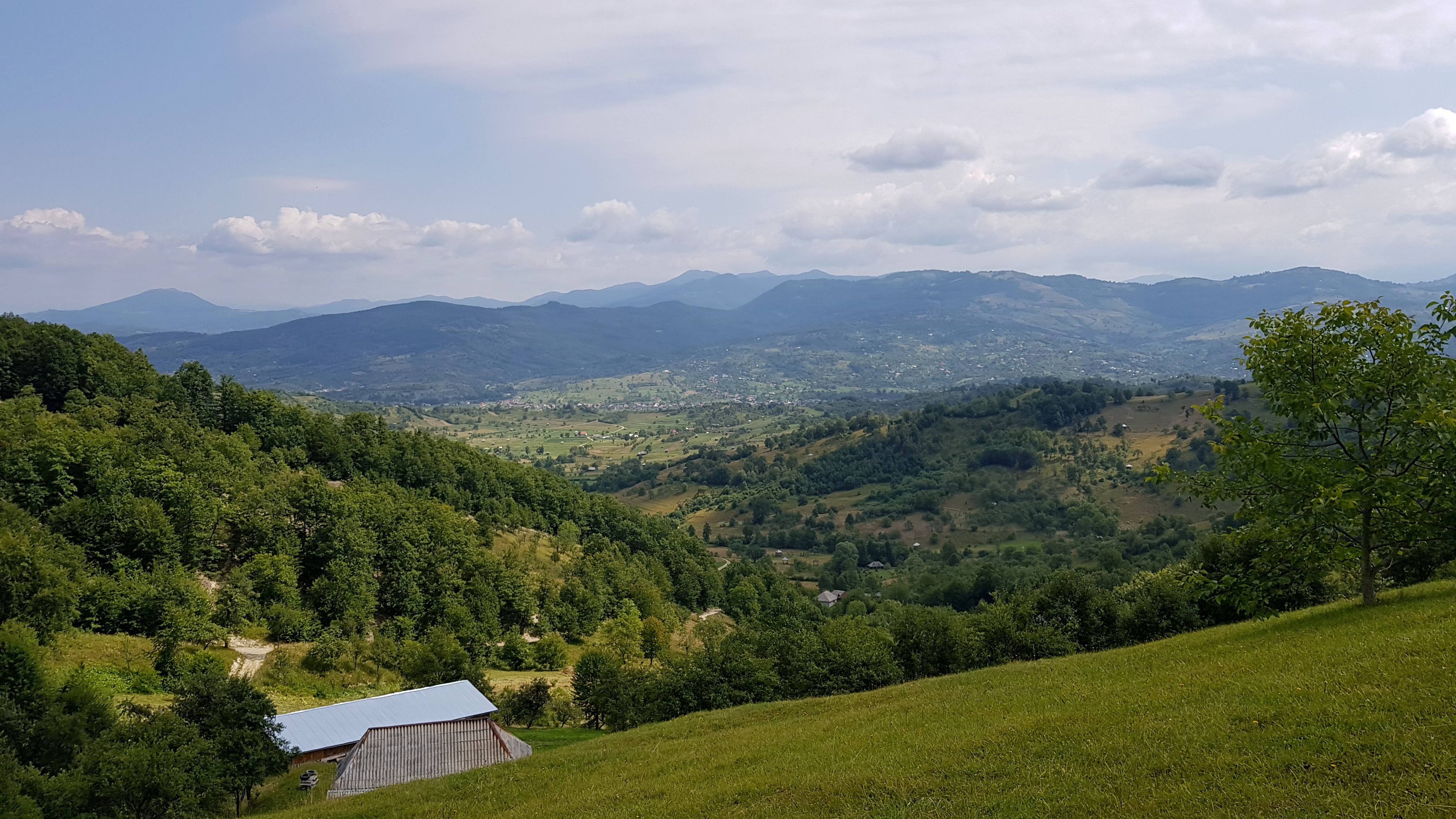
Picturesque Maramuresian landscape
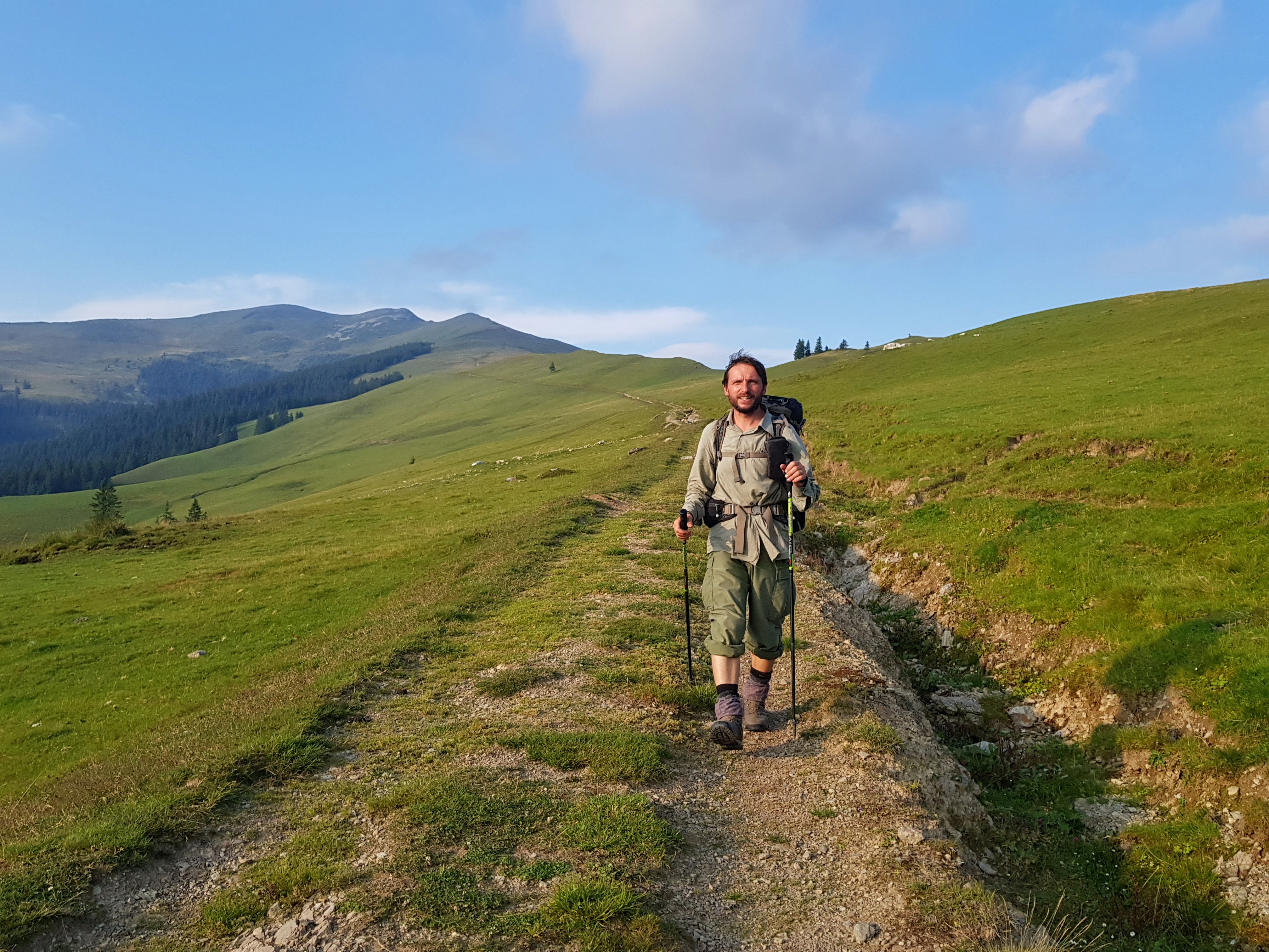
I woke up at dawn on Wednesday 17th July, silently packed and got out of that place. I needed to pass through couple of more settlements with dogs ready to attack a lonely pilgrim. Indeed, welcome back to Romania. I made a breakfast in a meadow far away from settlements and started walking. Unlike in Ukraine, where some roads on OpenTopo maps were hardly visible in reality, here were much more roads then on my map. So I tried walking main ridge and it worked, though sometimes I needed to cross fenced private grounds.
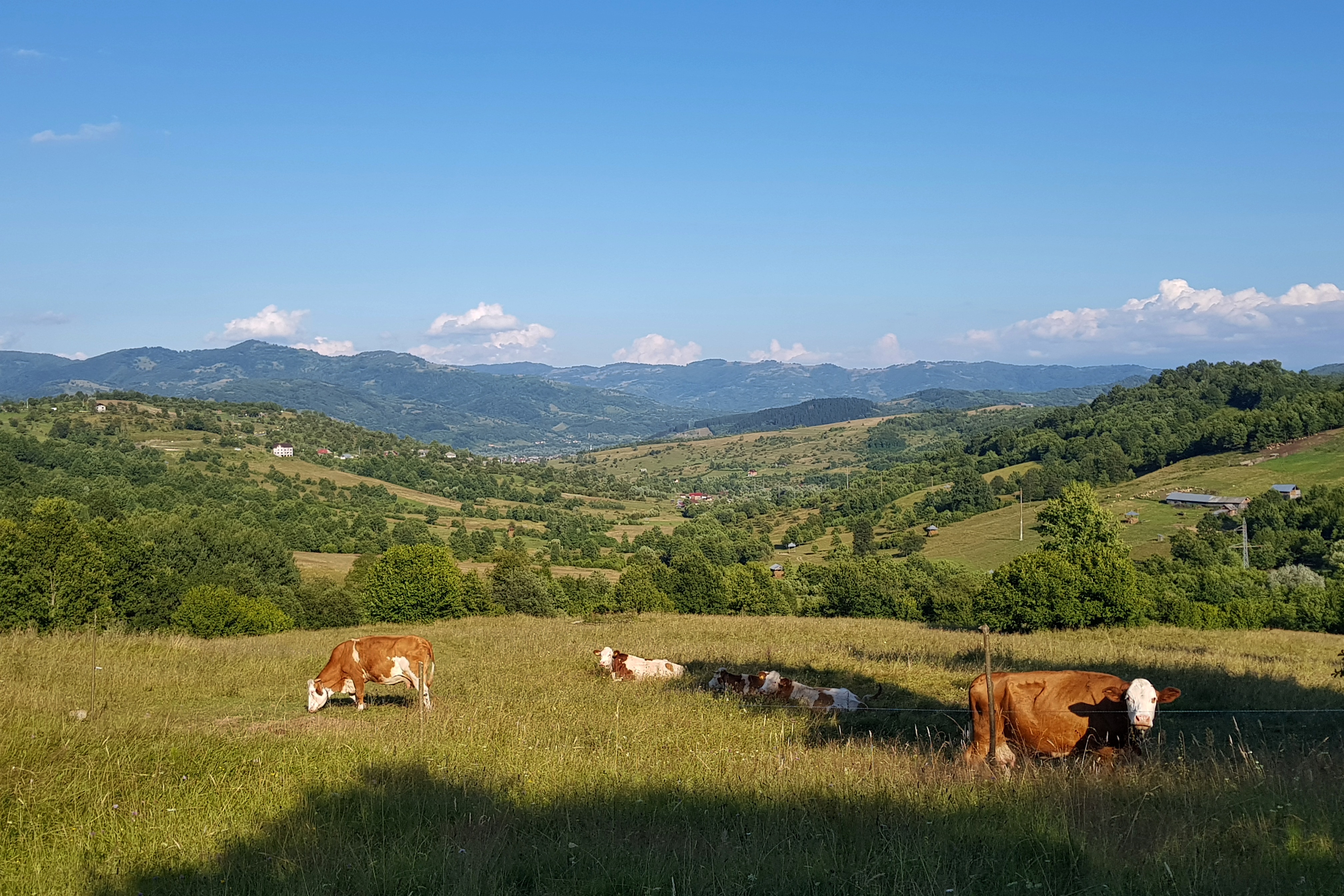
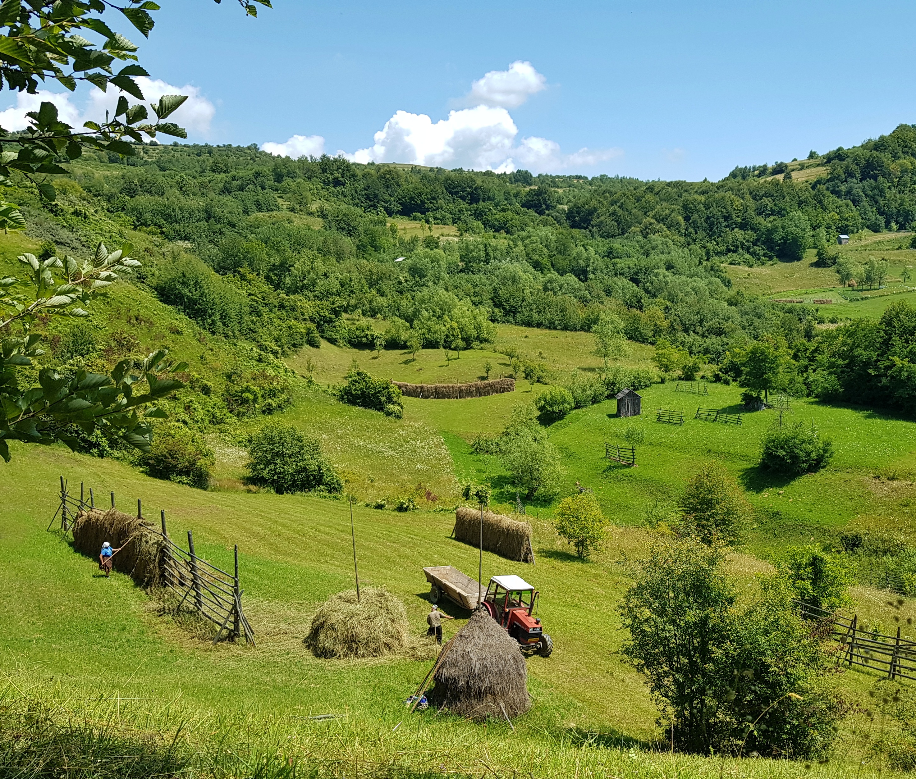
It was haytime and here in the highlands people from villages in the valleys were cutting the grass and drying their hay. The landscape was very picturesque. When I stopped for a lunch a lady passed by with her children carrying some wood. I asked her for a water source and before I finished eating there were two of her children coming with 2 litres of water – this was really nice so I shared my last Ukrainian candies.
In the evening I came to the village of Petrova, where some old architecture was giving its way to modern houses. A local helped me to find a cheap hotel and the staff allowed me to use their laundry machine.
My body and clothes washed I went to bed using my room for drying.
Closer to the mountains
Going for breakfast to a local shop and packing my stuff took more than I expected so I started at about 11 am on Thursday 18th July. I went up and down over a ridge to Ruscova. As I was in a hurry due to planned meeting with Paja in Rodnei mountains on Saturday I refused invitation for a lunch in an orthodox monastery.
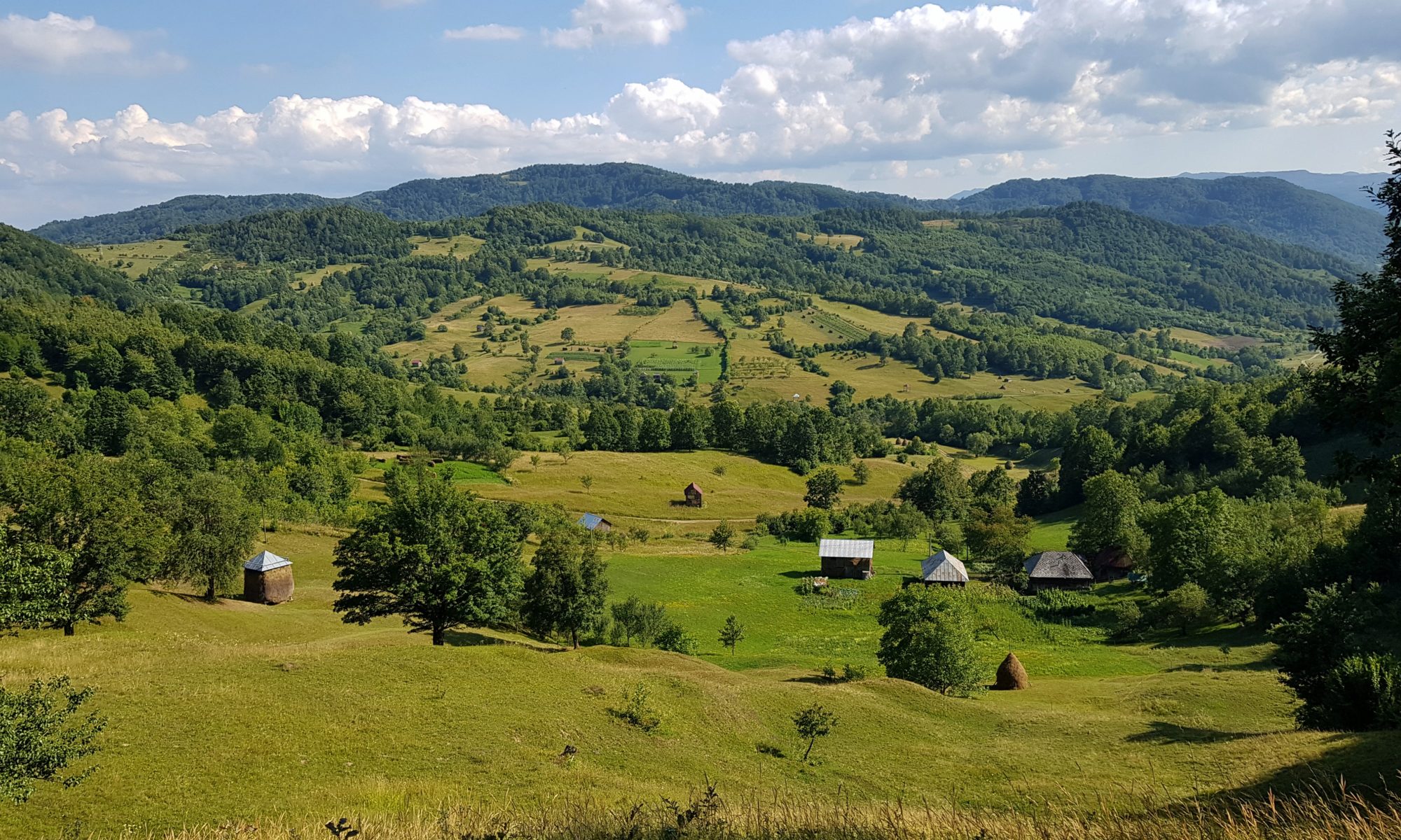
The Ruscova village with new EU funded paved roads and newly constructed houses illustrated high hopes and rapid change of once poor country. From the range above Ruscova, nice views opened on both Maramureş and Rodnei mountains. The meadows higher up were abandoned but those closer to the village were still mowed for hay.
In the evening I entered a magic valley leading towards Vişeu de Mijloc. At first I lost my way a bit and needed to shortcut from a steep hill in a dense forest. The evening was calm, no one around. Some meadows were abandoned but at one place people were still living in remoteness.
I found a nice place on a pasture but the silence of the night was interrupted by a shepherd’s dog that sniffed me and started barking at about 1:30 am. I ignored it but after 30 minutes needed to use twigs to fight it off.
Ascending Rodnei
It was quite some distance to the village where I got breakfast on Friday 19th July. From there I continued through similar landscape as in previous days to Săcel where from I started ascending Rodnei mountains.
The hills were alive with families working on their hay. I was wondering if anyone will be doing this once the older generation is gone.
It rained a bit in the afternoon again but I tried to go as far as possible because tomorrow I was about to meet my colleague from Kaprálův mlýn – Paja quite far in the mountains. This western part of Rodnei mountains was pointlessly equipped by picnic tables from an EU grant.
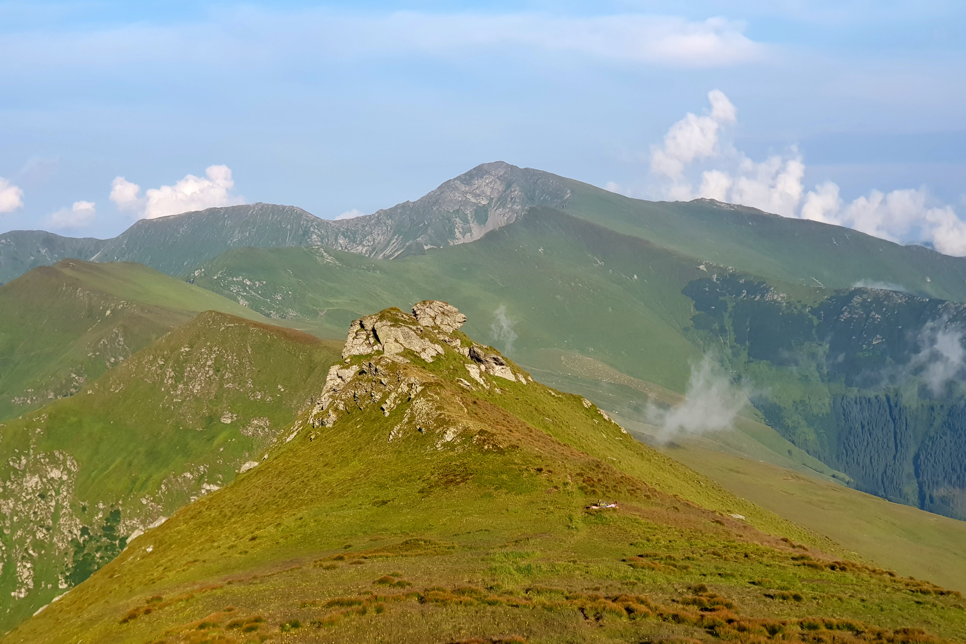
I could see Pietrosul Rodnei (2303) on horizon bathing in the evening sun. Signs of bear presence were quite visible so I was happy I ended up in a simple shelter in Pietrii mountain pass.
Rush through the Rodnei mountains
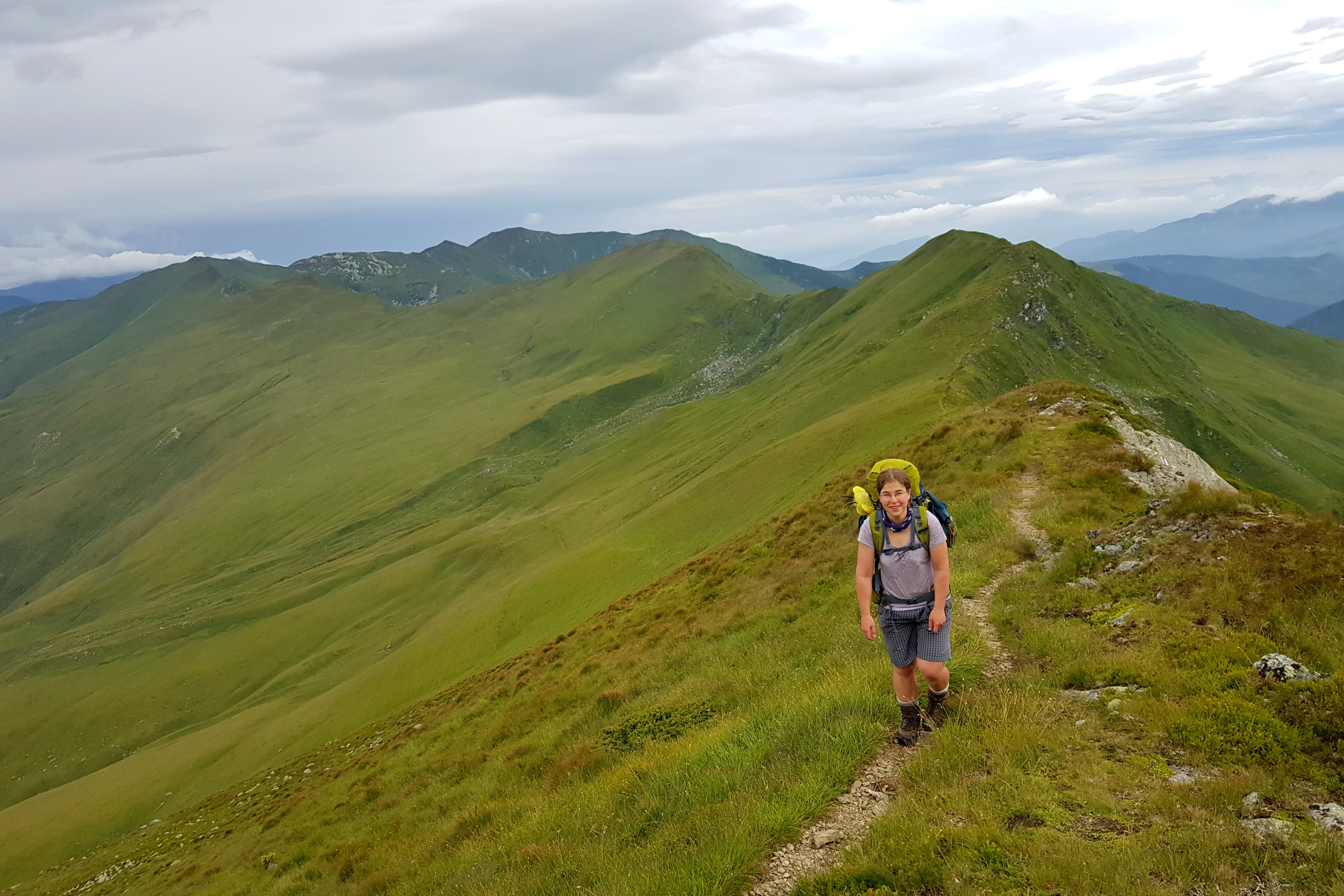
I woke up early on Saturday 20th July. My colleague from Kaprálův mlýn, Pája, should be in the Prislop pass around 2 pm and thus around 3 pm on the main ridge of the mountains. She called me 8:30 am that she started ascending, half a day before the plan. I walked as fast as I could through the mountains with well marked trails.
In the pass, where a side ridge with the highest peak Pietrosul Mare (2303) goes to the north, I met group of Slovakians – first hikers of this week and we even realized we have got a common scout friend. While ascending Repede (2074), it started raining. Though I managed to put poncho and waterproof trousers on, my shoes and socks soaked with water soon. I passed by my landmark stone where a local guy attempted to rob us during the night back in 1996.
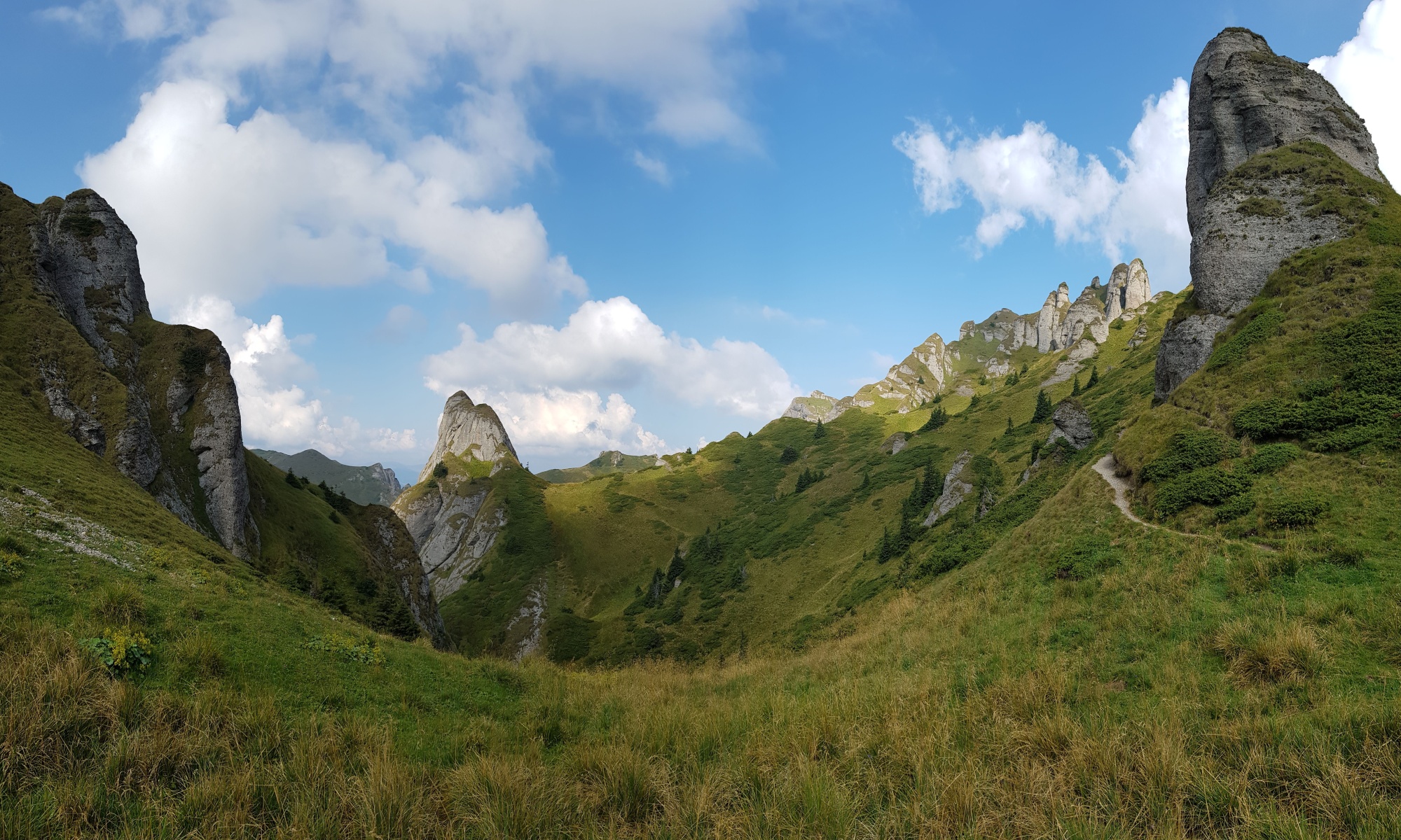
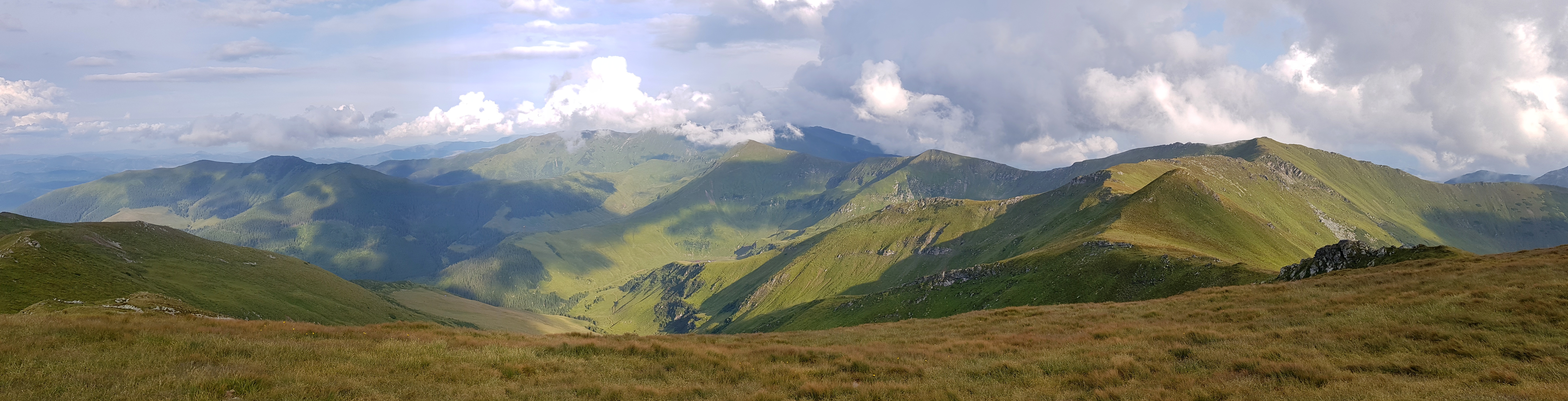
Munții Rodnei is the highest range in this part of the Carpathians, the only one with true alpine appearance and that is why it is popular with tourists.

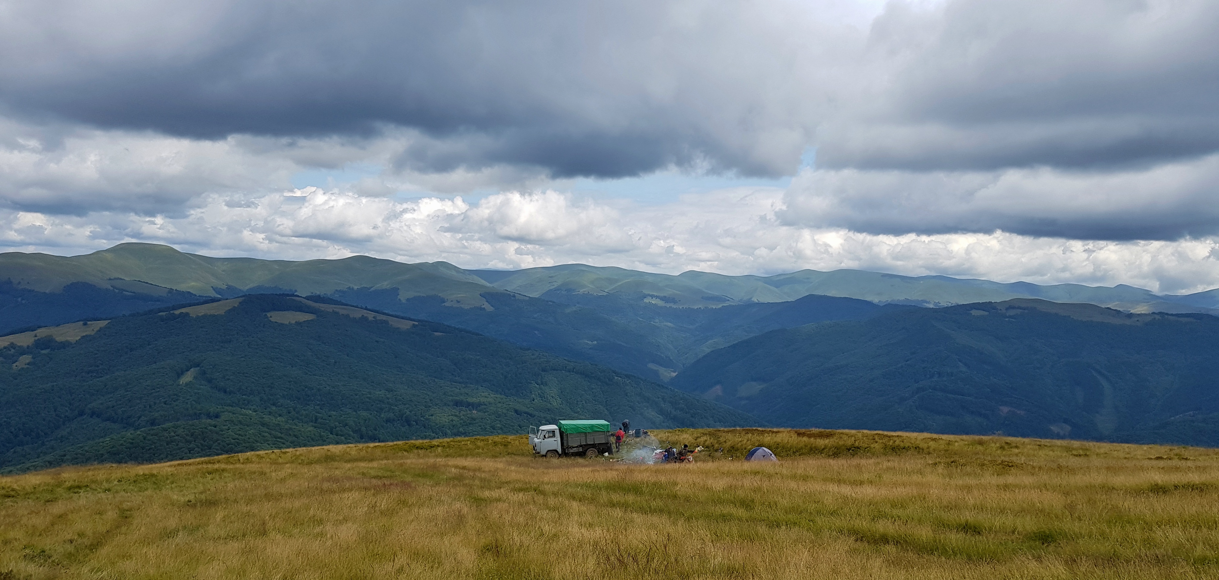
The mountains were quite busy that Saturday – apart from Ukrainian and Romanian hikers there was some Hungarian running competition taking place. We met with Paja at about 4 pm and the first task was to repack all the food from its original packaging into lighter plastic bags. Meanwhile sun came and I could dry the wet stuff.
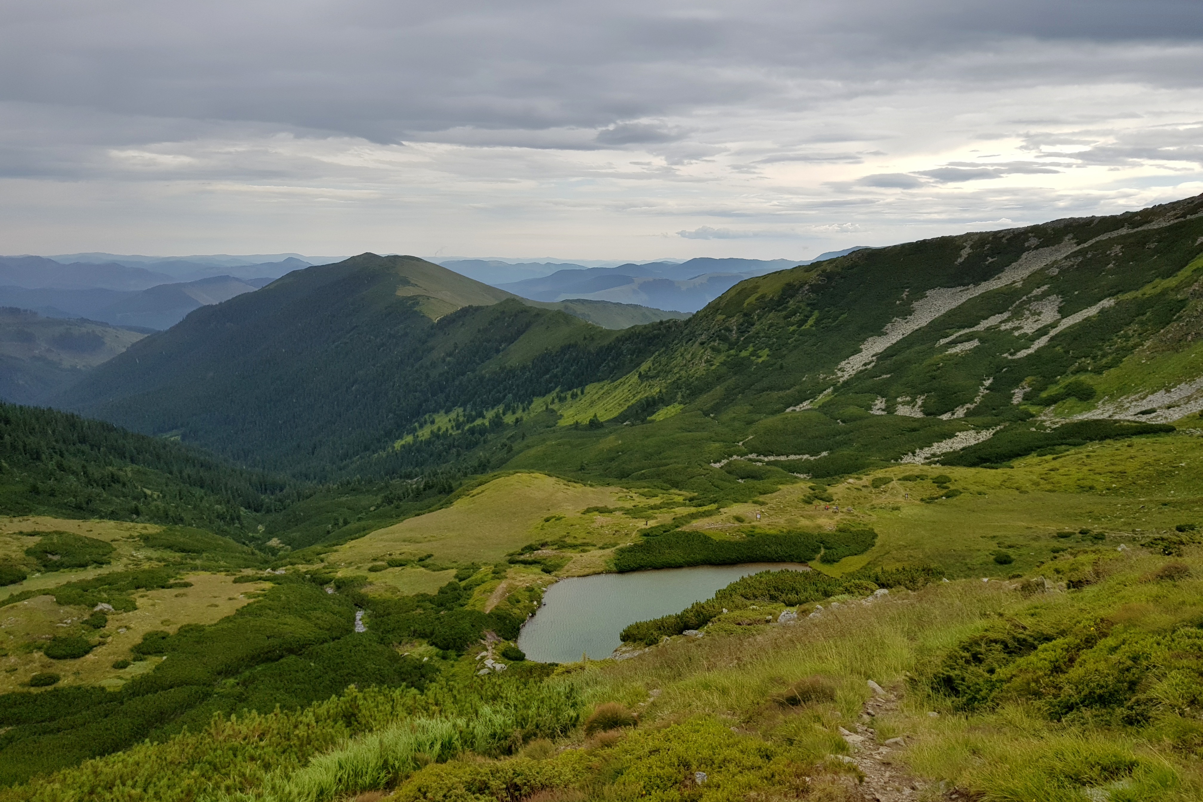
We set up for the hike at about 6 pm enjoying beautiful views to the north towards Prislop pass (1405) dividing Rodnei and Maramureş mountains to the east. We finished around 9pm near a water source an hour walk before Ineu (2279). The place appeared to be very windy so I tried to combine a tarp made of two ponchos with the Gatewood Cape.
Unexpected meeting
Apparently the mountain shelter (refugiu in Romanian) under Ineu (2279) was empty on Saturday so our worries we could not fit in were not right. I copied an entry from the shelter logbook – a Polish hiker going across the whole Carpathians stayed here more than a month before. I would later learn his name was Michał Kulanek, we get into contact but we miss each other by 1 hour near Orşova.
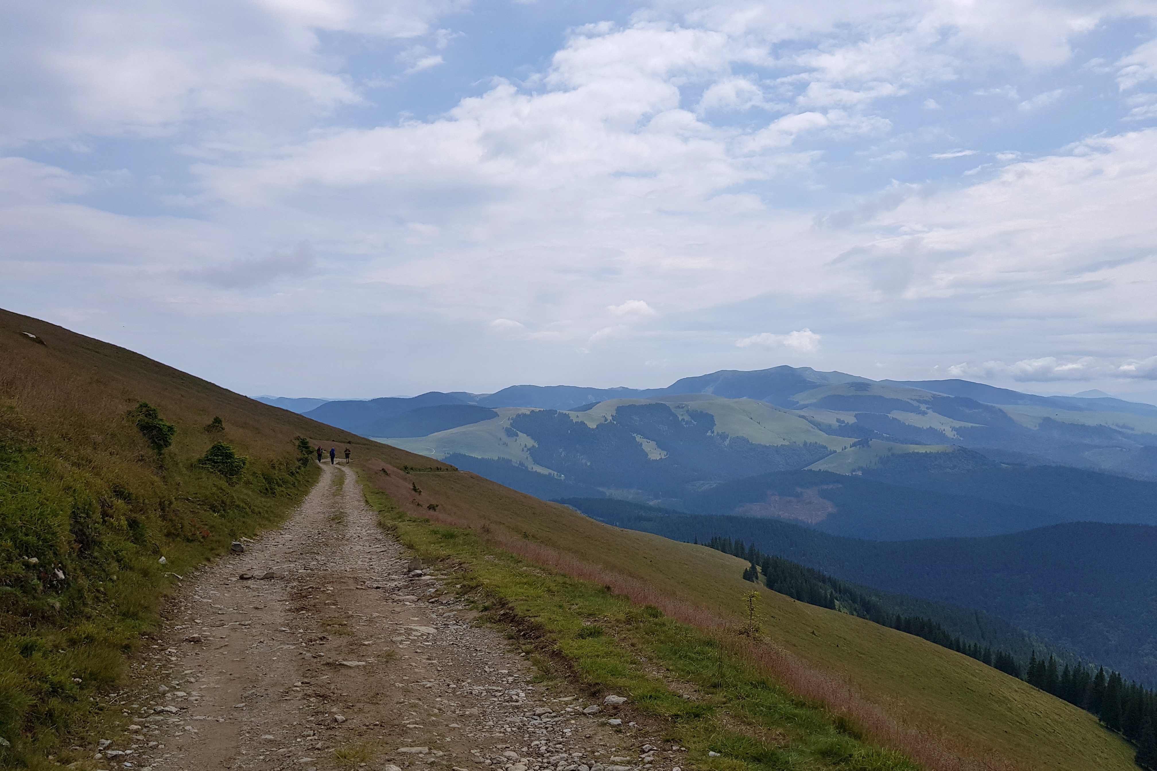
From early morning of Sunday 21st July we were meeting tourists – we counted about 15 hikers under Ineu. Anyway, this is a relative measure – I got impression of “crowded mountains” the day before meeting just about 25 people throughout the day, amount you encounter in 30 minutes at some parts of Făgăraş or Low Tatras.
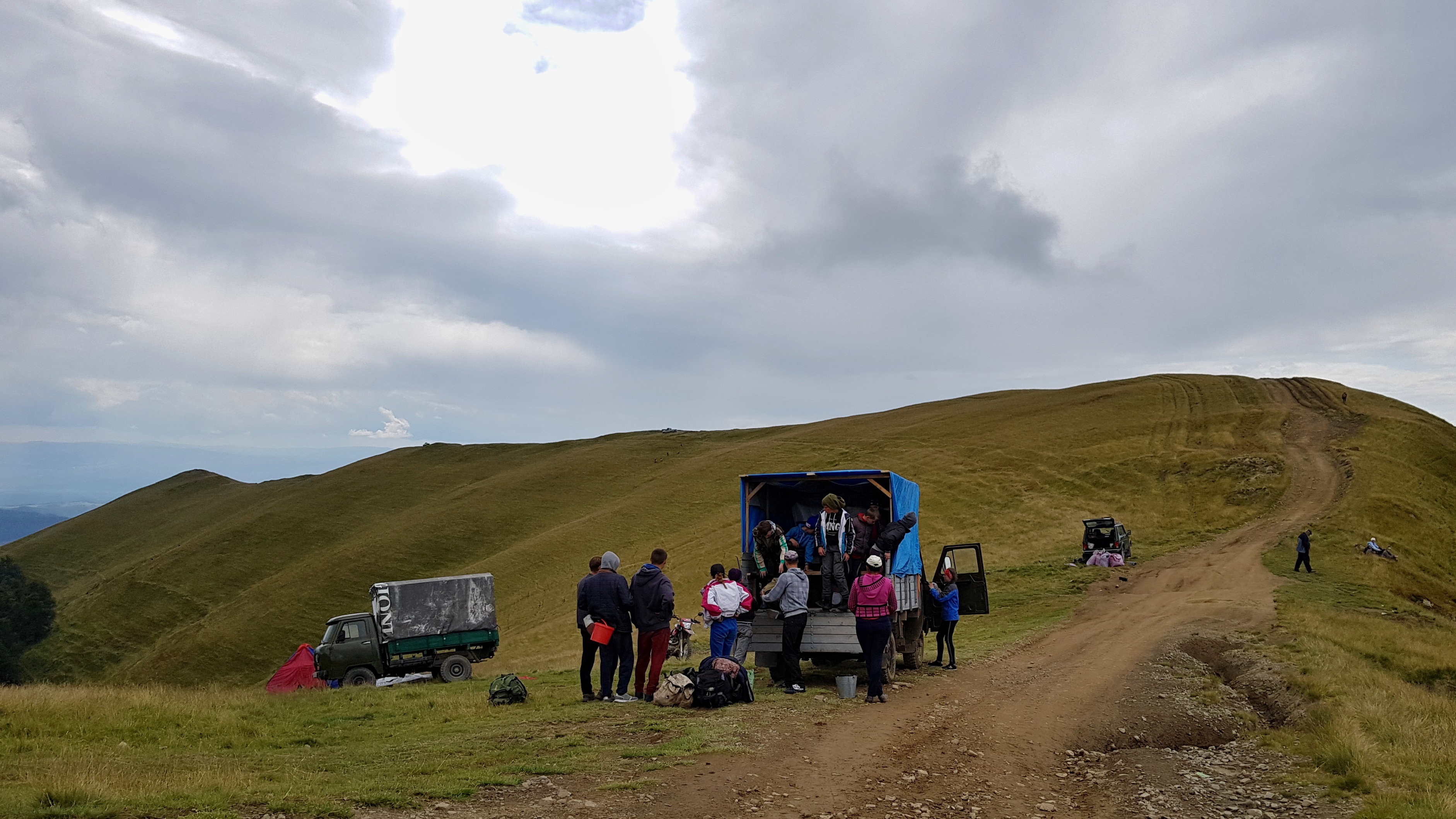
Instead of going through the next peak – Ineut (2222 m) we decided to see the lakes in the kar below the peaks. This was nice change but the tourist trail went through boulders and mountain pine so I tore my poncho when I slipped on a rock (did I mention it was raining again?). We were meeting more and more tourists on a day-hikes and when getting back to the pass on the main ridge we found out why – the pass was accessible by cars.
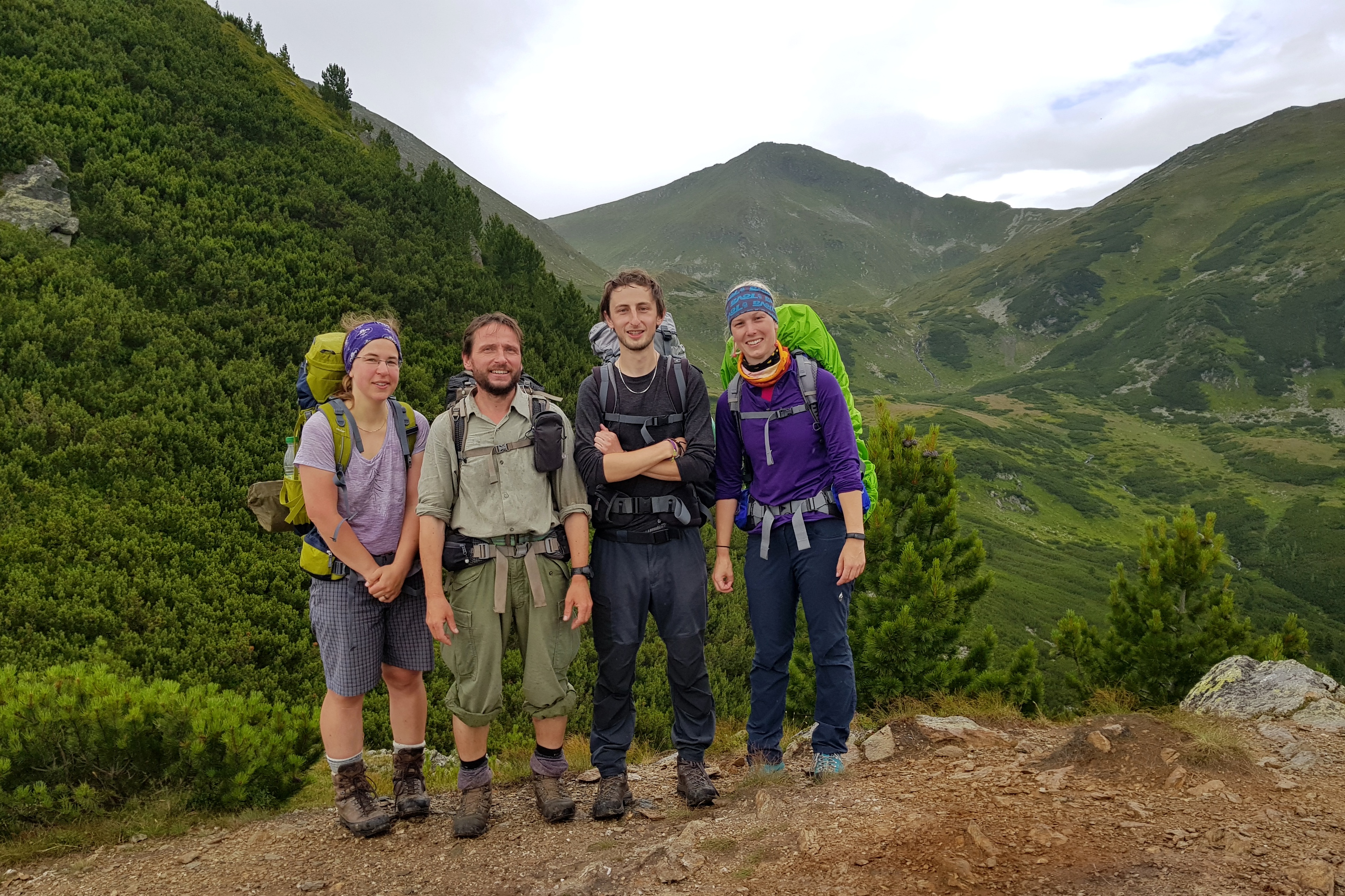
Believe it or not, in the pass we met our Czech scout friend Lobo with his girlfriend. He actually works as a project manager of the project I was putting together and both me and Pája are partly paid from it.
We went together to the Rotunda pass (1275) dividing Rodnei from Suhard mountains. Contrary to our expectations, there was no restaurant but a local offered us cola cans, tomatoes and bread for a decent price. Moreover we could charge our phones there. After few kilometres we stopped for sharing sweet goodies (including honey from our bees Pája brought with her). Then we exchanged some food and said goodbye to our friends as our pace was considerably higher.

Weather turned beautiful as we continued below Omul peak (1932) in Suhard mountains and to the pass south from the highest peak. We found nice camping spot above the pass.
One Reply to “Northern Romania”
Comments are closed.