Lonely again
It was a sad morning of Monday 29th July. We said good-bye to the refugiu and started descending to Lunca de Jos trying to avoid wild dogs. The path went through meadows with beautiful views, but again along trenches, these built by Hungarians against the Red Army during WW II.
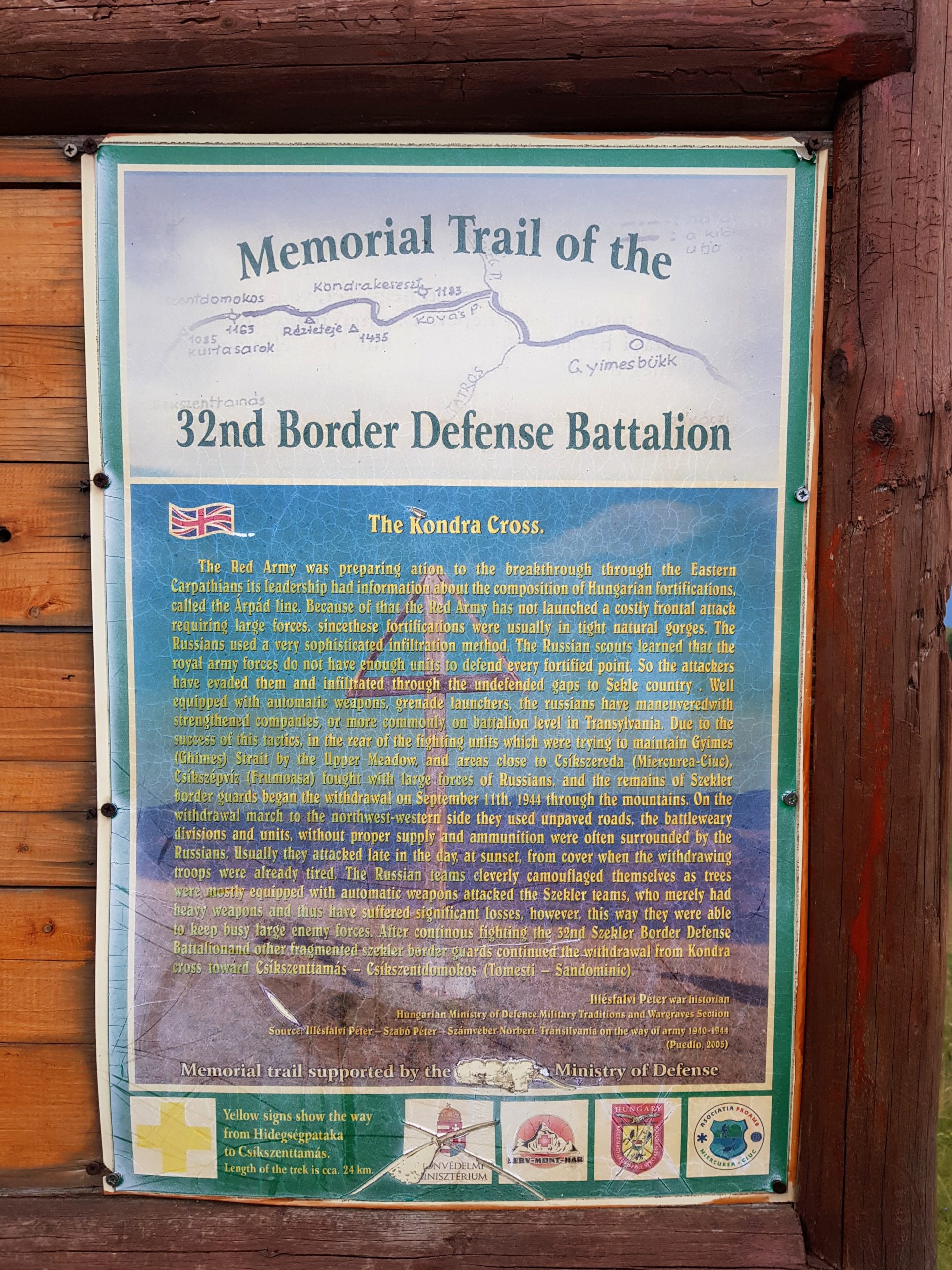
At one place there was an interpretive panel about 32nd Hungarian Infantry battalion and their heroic retreat while being ambushed by the Russians (sic). This was not opinion of a local Hungarian but the panel was financed by the Hungarian Ministry of Defense. No wonder its Romanian version was destructed few metres away and only the English one was still mounted on the panel stand.
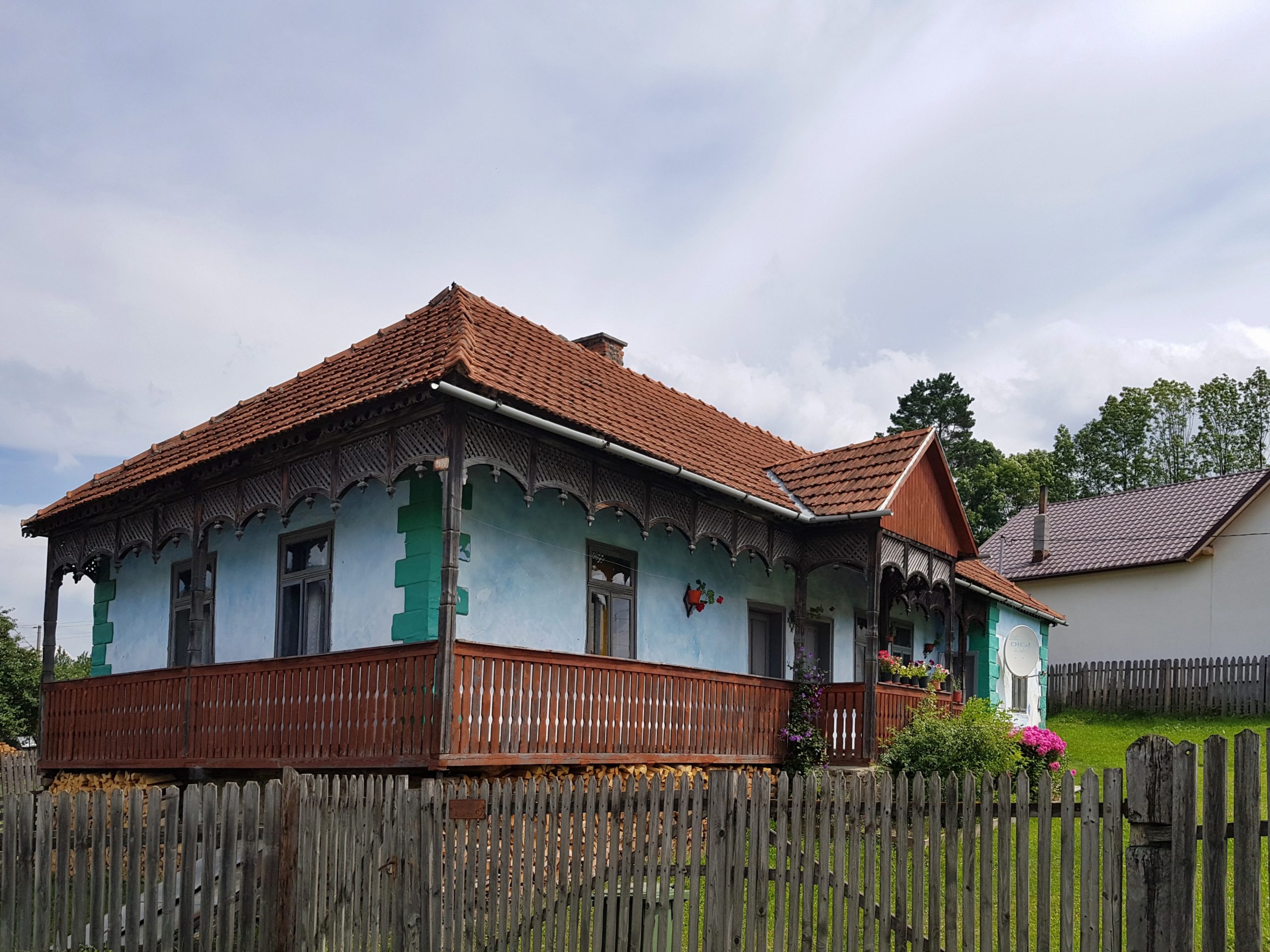
We ate our favourite breakfast in Lunca de Jos (sour cream, tomatoes and bread) and continued to neighboring Lunca de Sus. What surprised me was that both villages have Hungarian speaking partner towns only in Hungary and Slovakia.
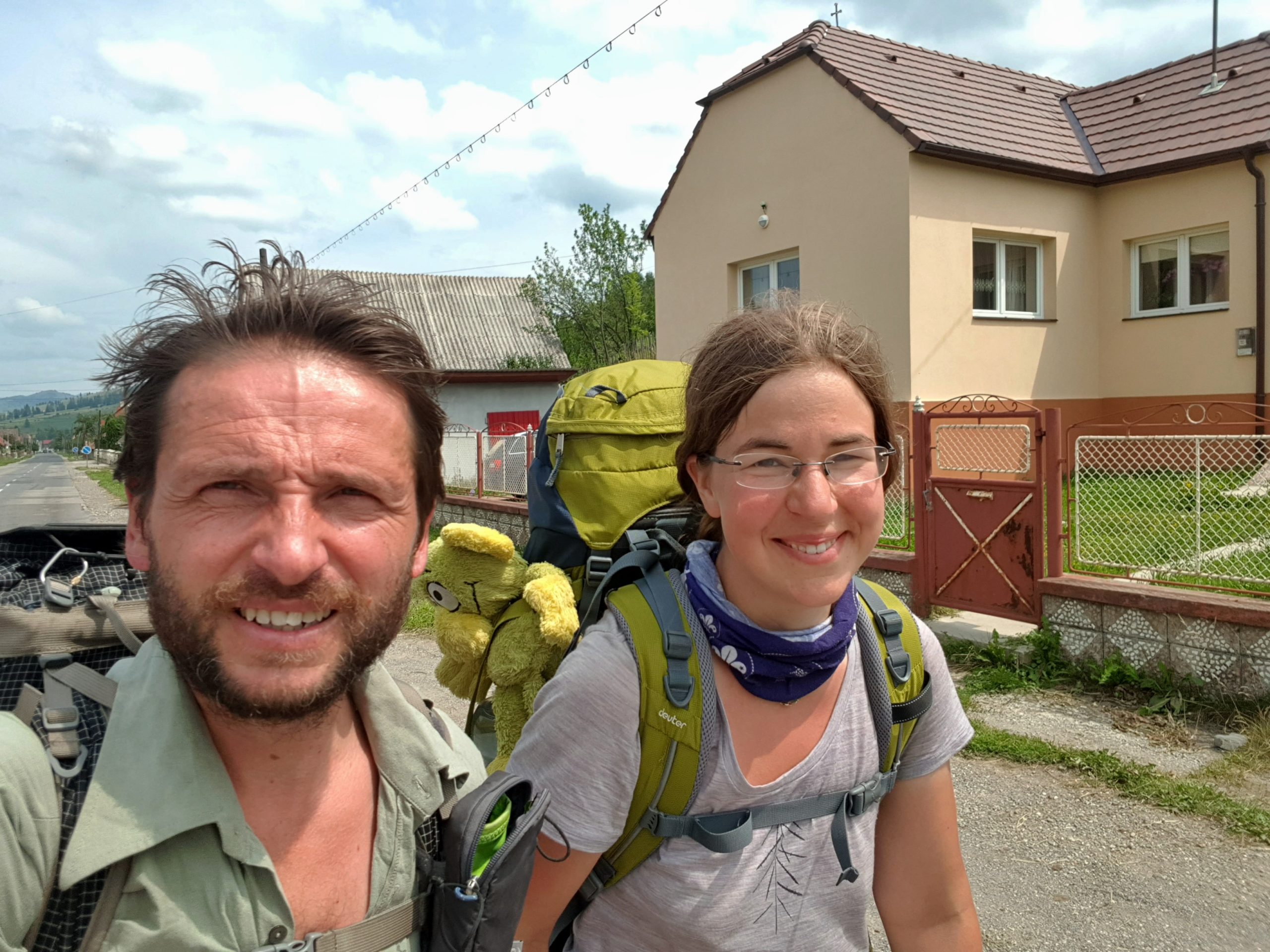
Paja went with me few kilometres through the village to the point where I started ascending Munții Ciucului again. It was early afternoon and Paja got enough time as her train was leaving about 9 pm from Miercurea Ciuc close to Lunca. For me this was a heartbreking farewell as I knew that ahead of me is the most difficult part of the whole journey. Forested, sparsely populated mountain ranges where I cannot meet a tourist and where the path might be difficult to find. It was 220 km to the Ciucaş mountains, where from I would follow known trails. I have no idea how long it could take, moreover with not very optimistic weather forecast.
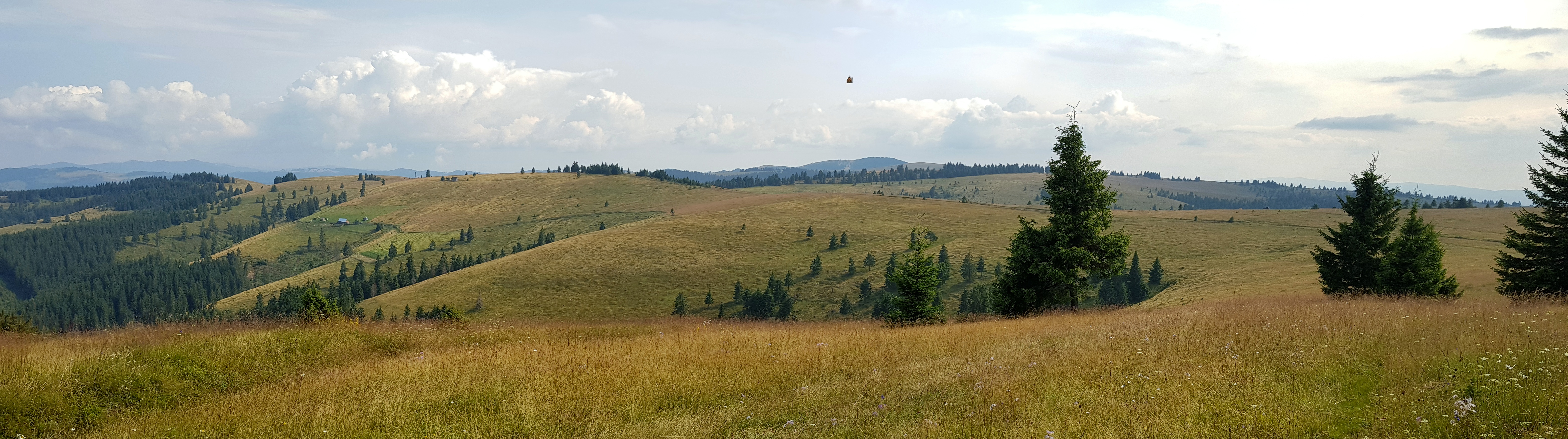
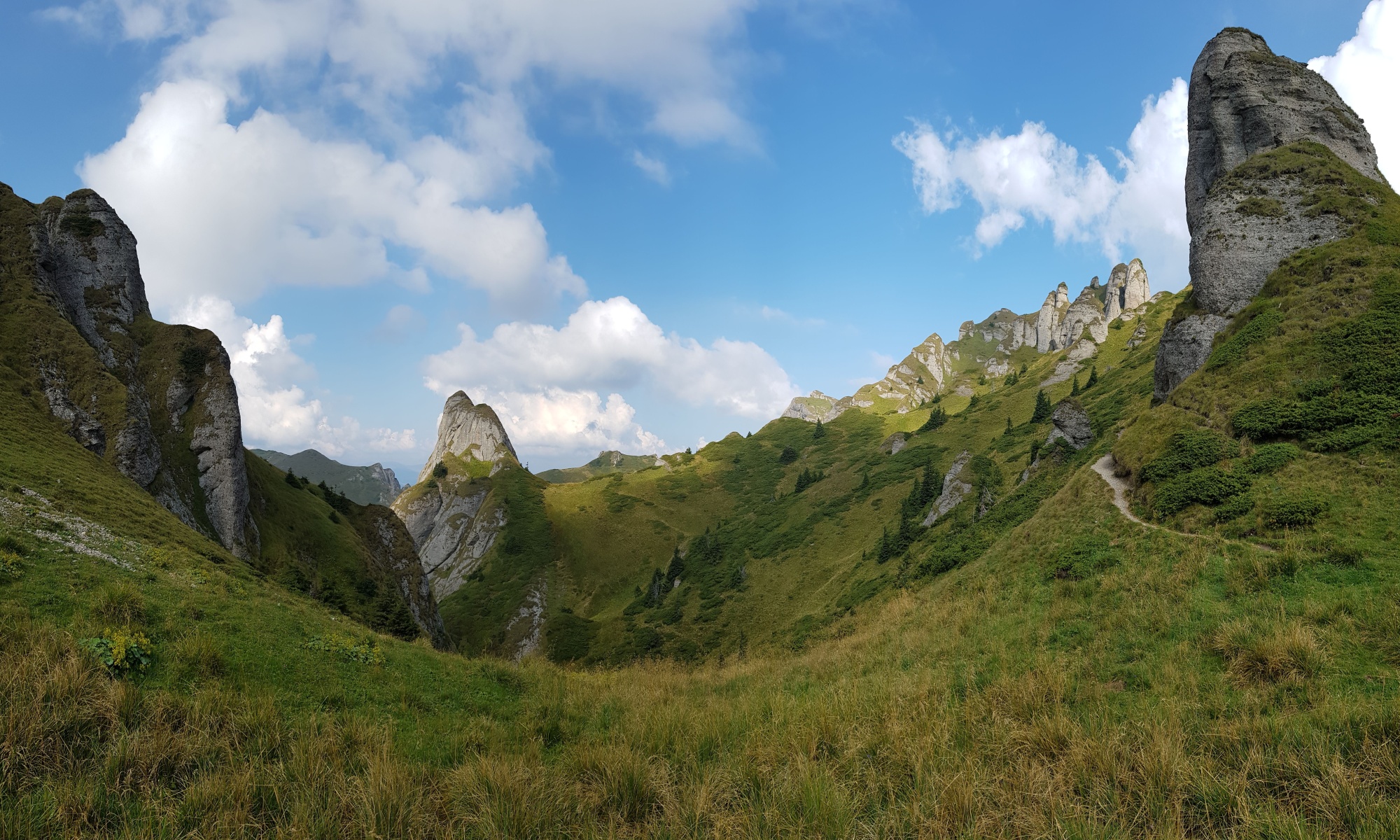
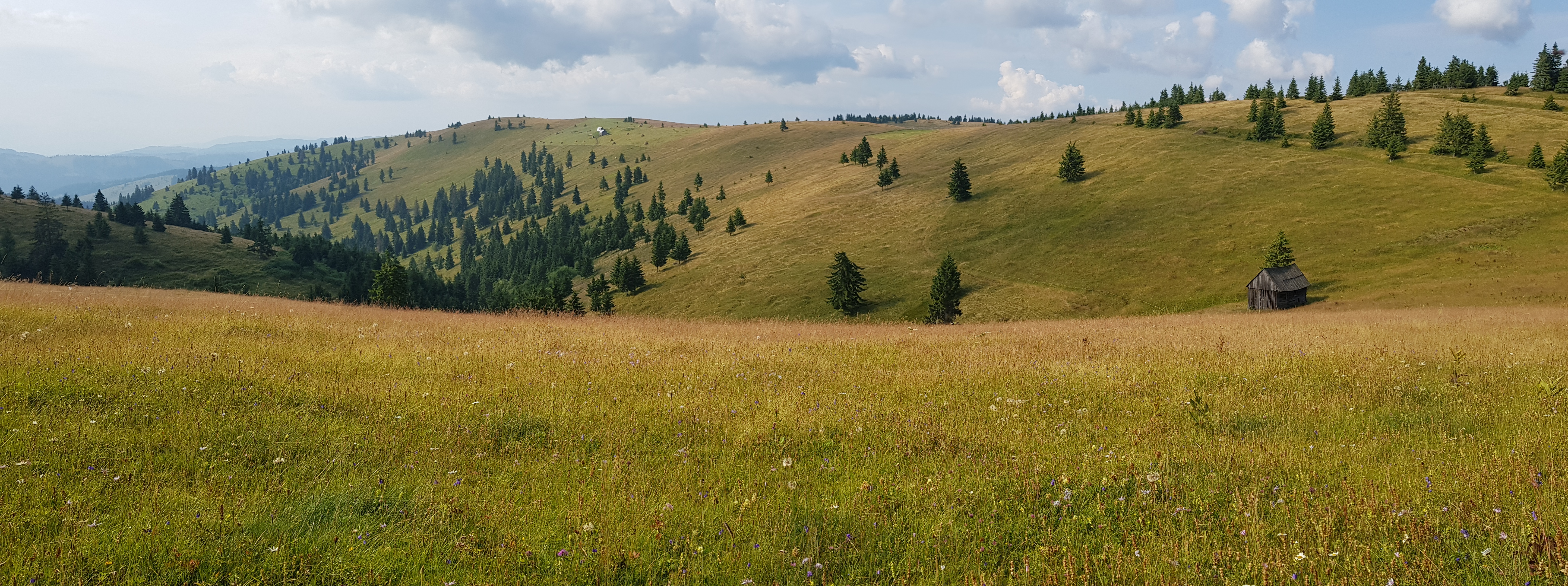
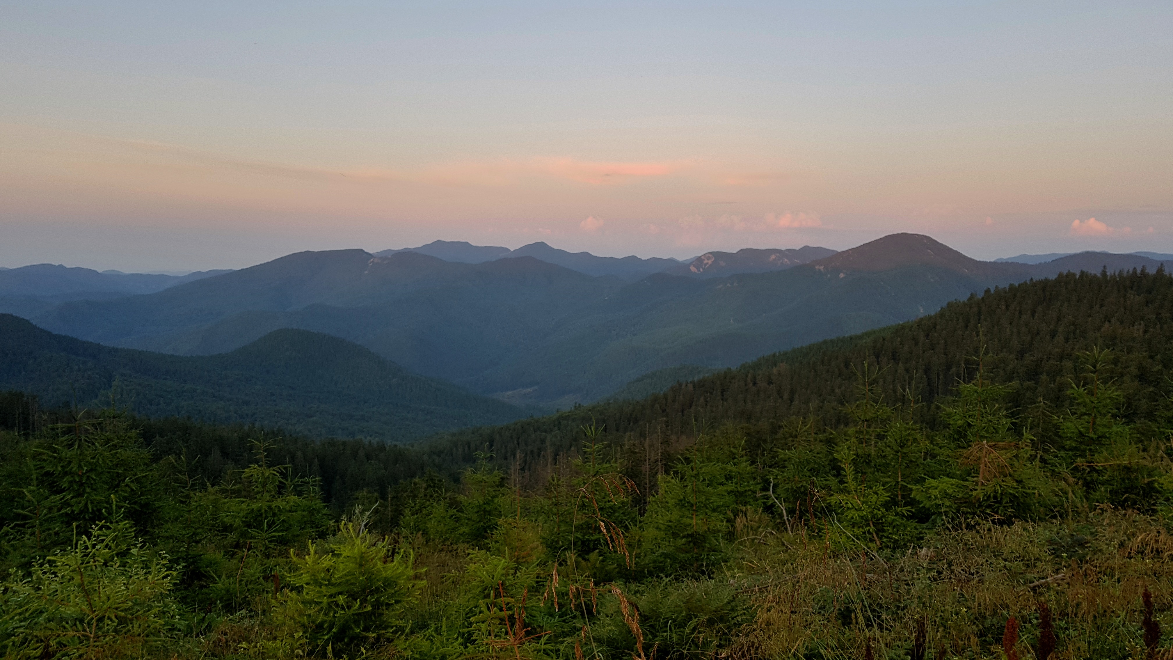
The southern part of Ciucului mountains was not less beautiful than the northern part. The shepherds’ houses in this area were located on the slopes amid flowering meadows. With various livestock they resembled summer farms rather than shepherds’ shelters in other areas.
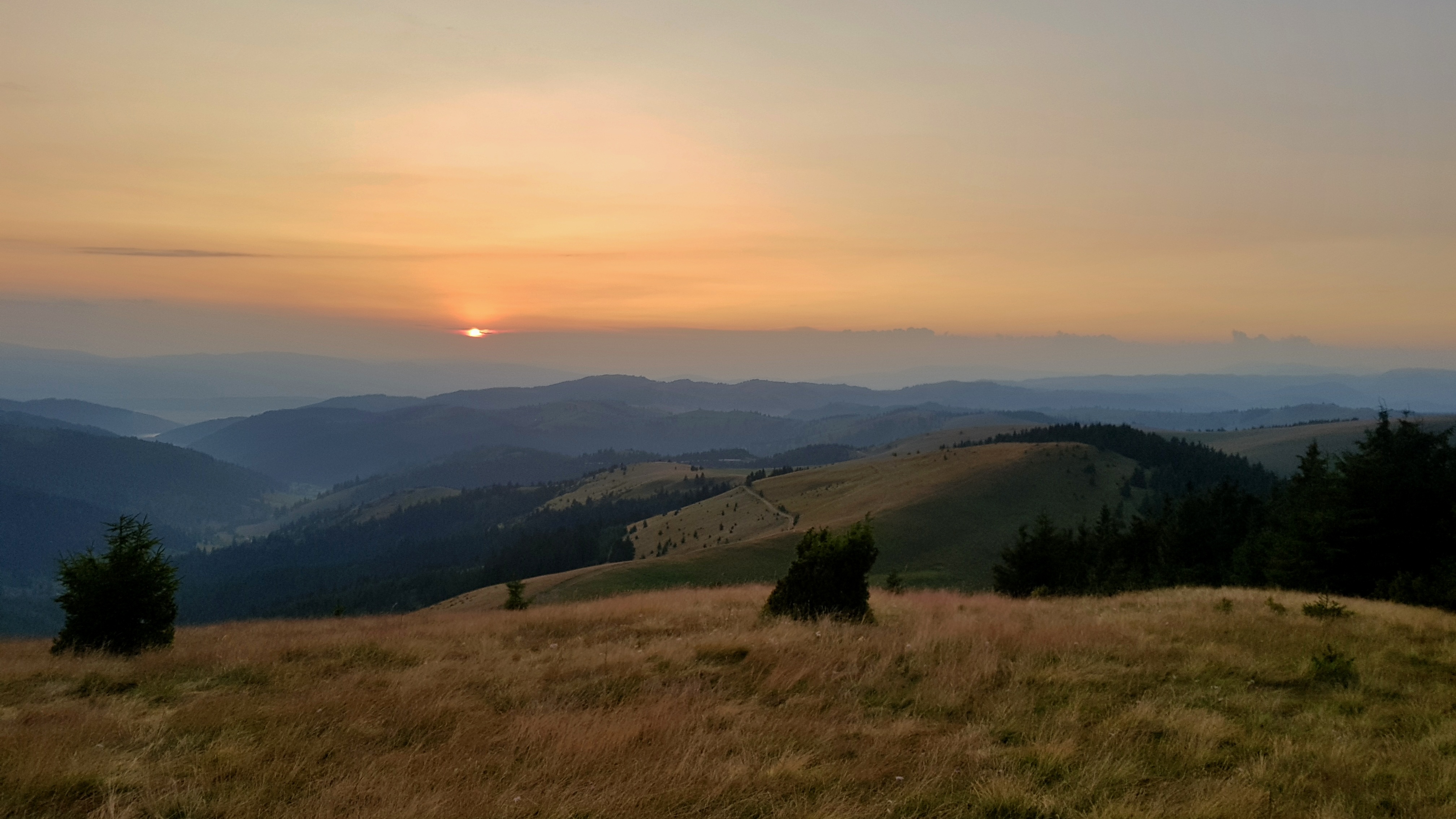
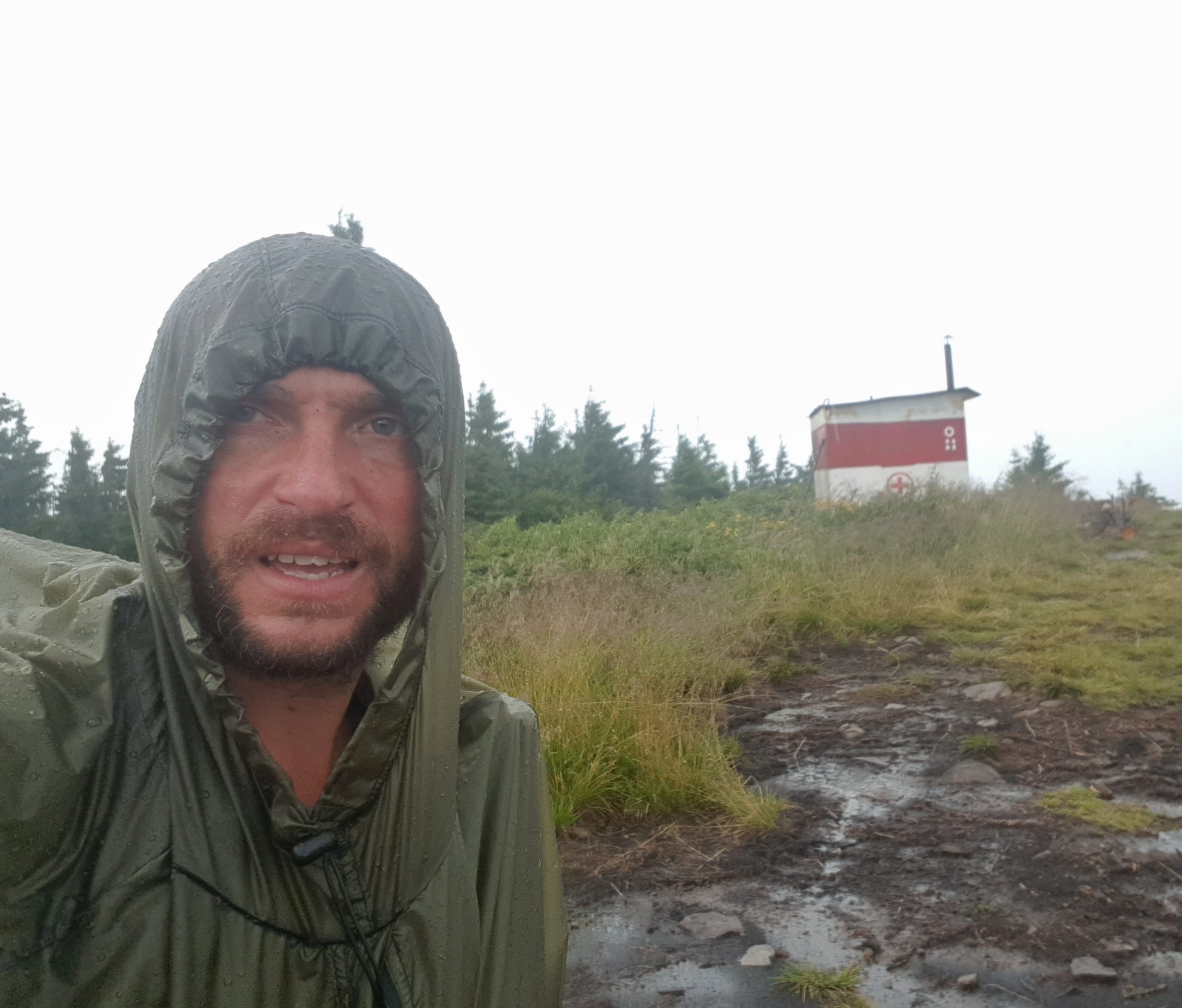
I somehow managed to avoid conflicts with dogs, washed my socks and shirt, withstood two rainshowers and made it to the refugiu under Viscolul peak (1494). As the shelter entrance was located westwards, beautiful sunset was promising I might make it to Ciucaş.
Surprising Uz valley
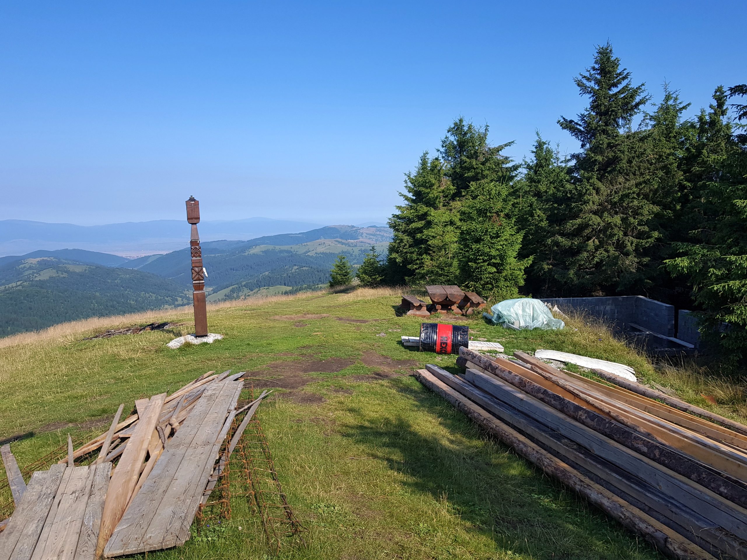
I got up early on Tuesday 30th July as I knew this is a key day to get as far as possible because of rainy days forecasted from tomorrow onwards. The Viscolul peak has apparently some meaning to local Hungarians as it was decorated and with a basement to some future building.
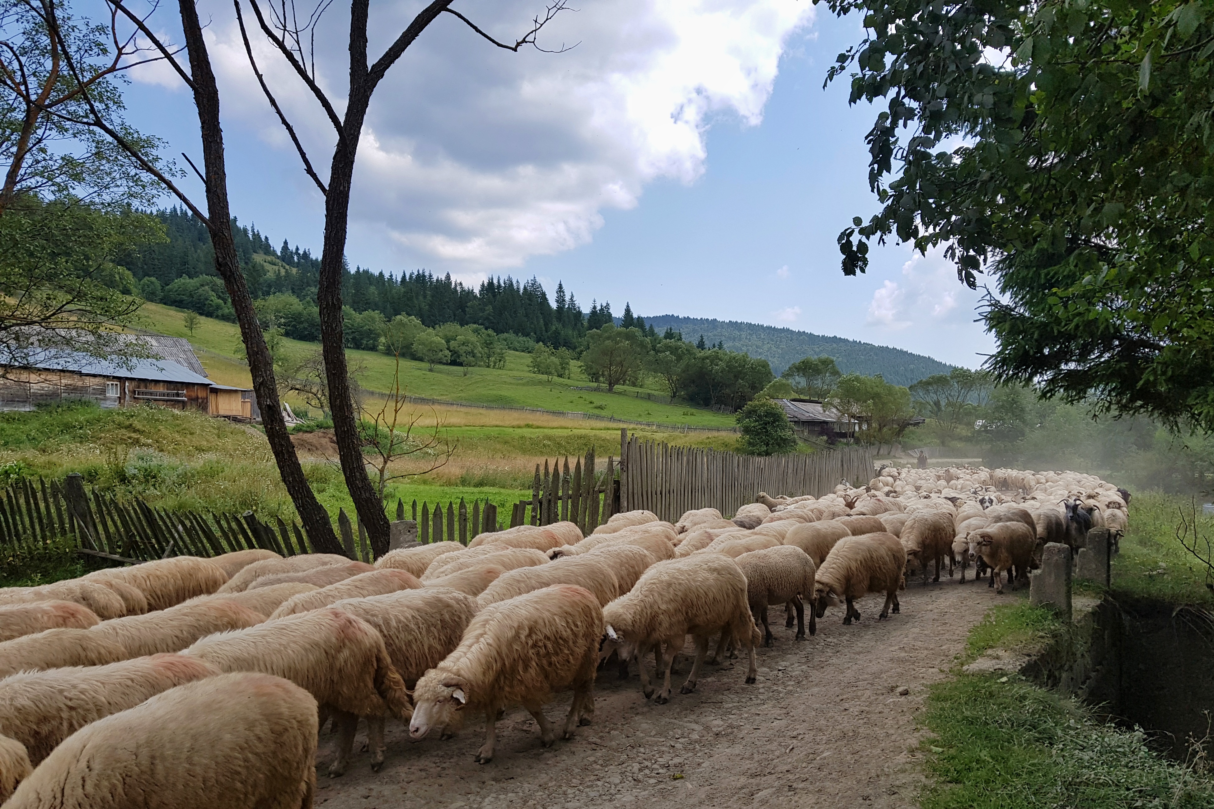
I managed to avoid dogs and washed in a river while charging my phone before I came to Ciobăniş village. I was considering not continuing on my planned route along the river to Ciobăniş and rather follow well signed trails to the south but this would have meant I would have needed to cross from one ridge to another one in an area not well covered in my maps and far from civilization. So I rather stuck to my original plan, though that meant going up and down two valleys.
Ciobăniş is a village without electricity, far away from other settlements that transfers you back into the 19th century, no wonder Svetozár Krno and his fellows got similar impression of the place back in 1984. For the first time I could see there a woman preparing birch bark to make products out of it and learnt more about dogs’ pack mentality during an unpleasant dog attack.
I lost a footpath in the pass between the valleys (while planning I just assumed a forest road to the pass, which fortunately was there). I was lucky a thunderstorm passed by and I received just some moderate rain on its edge.
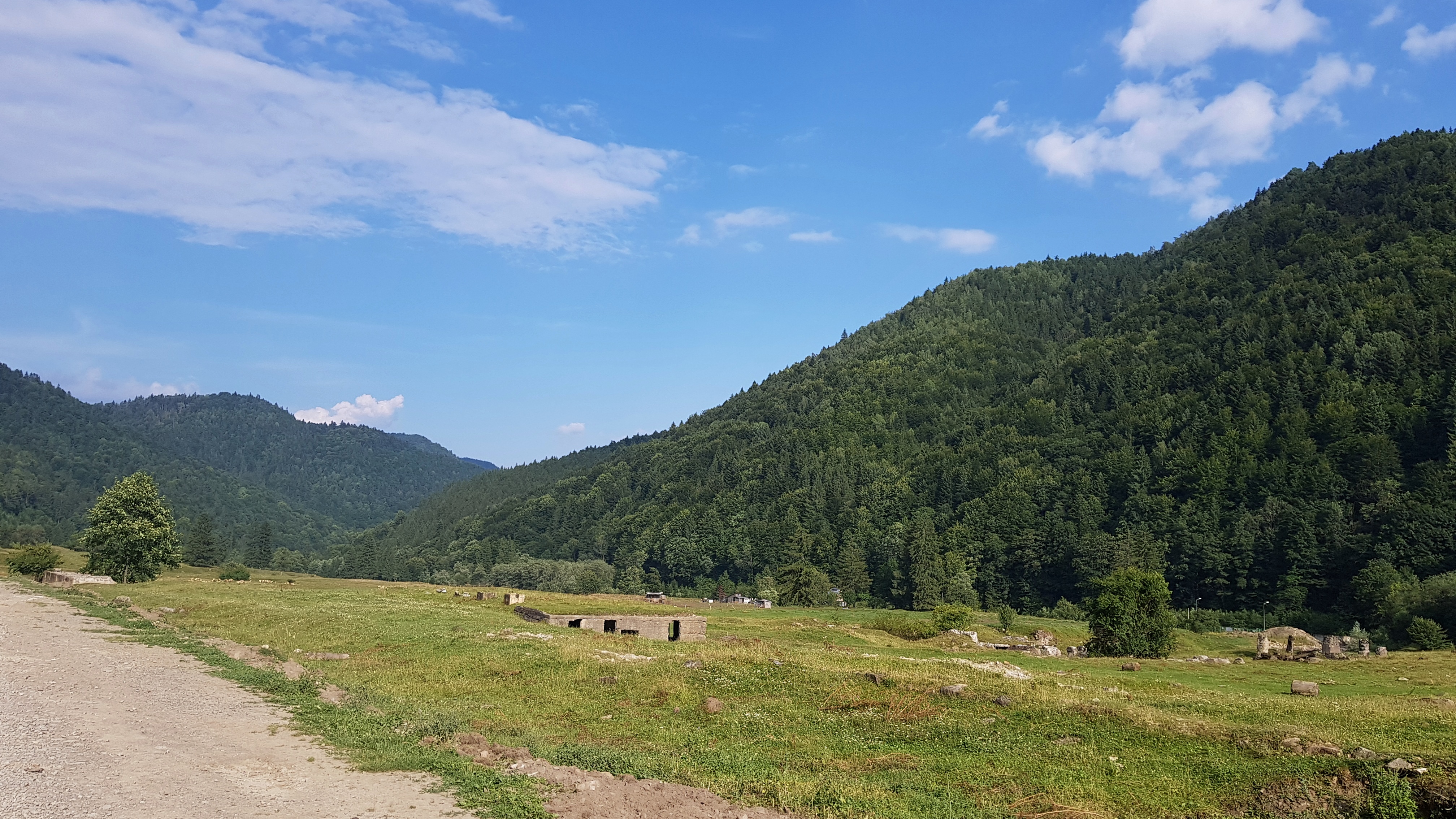
The Uz valley was a big surprise to me. I entered it just near the military cemetery built by the Hungarian government money. That was a clear show of Hungarian nationalism. The narrative was that both in WW I and WW II Hungarian soldiers were defending their Hungarian (sic) homeland but heroically died and “the Great Hungary” was invaded as a consequence.
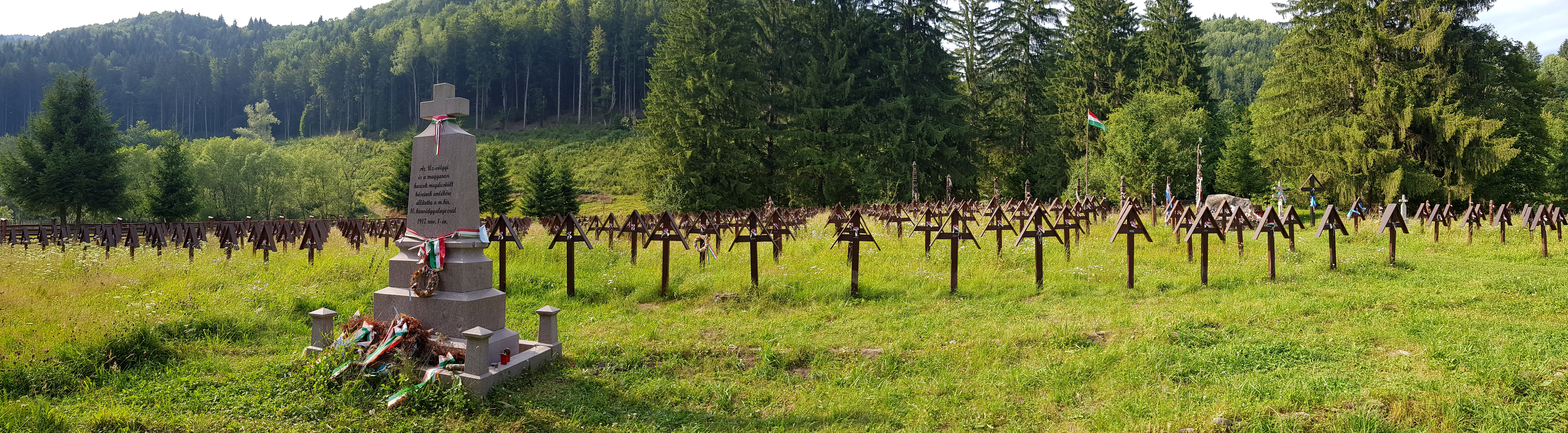
During WW II 2700 soldiers from Hungary along with German and Austrian comrades (not a word about Wehrmacht or SS) died in the valley while Soviets lost 15000 soldiers as Hungarians claim. The once vibrant village was deserted after WW I and totally destructed in the WW II. Walking the valley one feels this and thinks about heavy fighting that left so much blood soaked in this soil in August 1944.
I asked some locals for a shop but they told me it is far down the valley.
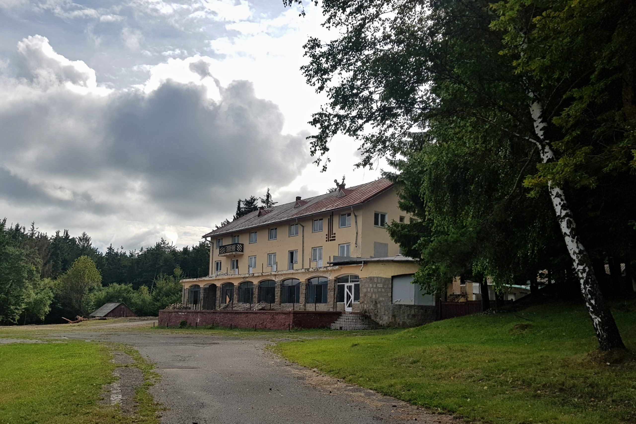
I bought online a map of Nemira mountains made by Hungarians through Avenza app the day before. It was expensive and appeared to be less correct than free Open Topo maps. Even the alignment with WGS 84 was not good. I spent some time searching for a forest road that was non-existent and ended up in Poiana Uzului at about 8 pm after seeing one of waterfalls on the Uz river.
The man I had asked for a shop passed by in a car pointing to a house on a crossroad. I entered and asked for a shop. It appeared to be a restaurant of a man with big plans and wide heart. Kind of local opinion leader I could read from reactions of guys, who were sitting in front of the restaurant, sipping bear and smoking. I was offered a dinner and an overnight. The small room was next to a bathroom but the shower was a hose with cold water that supplied his ponds with fish. This was a true permaculture garden, though I am not sure he ever heard the word. There was no power grid in the village but the Iulian’s solar panels and batteries were enough for charging my devices.
Rainy Nemira
I wanted to start at 6 am on Wednesday 31st July in order to get as far as possible before the forecasted afternoon rains. However Iulian’s invitation for breakfast made me starting 7:30. I was surprised that when it came to payment he refused any money from me. It was painful ascend of 1100 meters as I hiked fast up. I passed by former trenches and other remains of war.
I was caught by rain right below the Nemira peak (1649) and a thunderstorm with a strong rain came when I was finishing my lunch in the pass below the mountain.
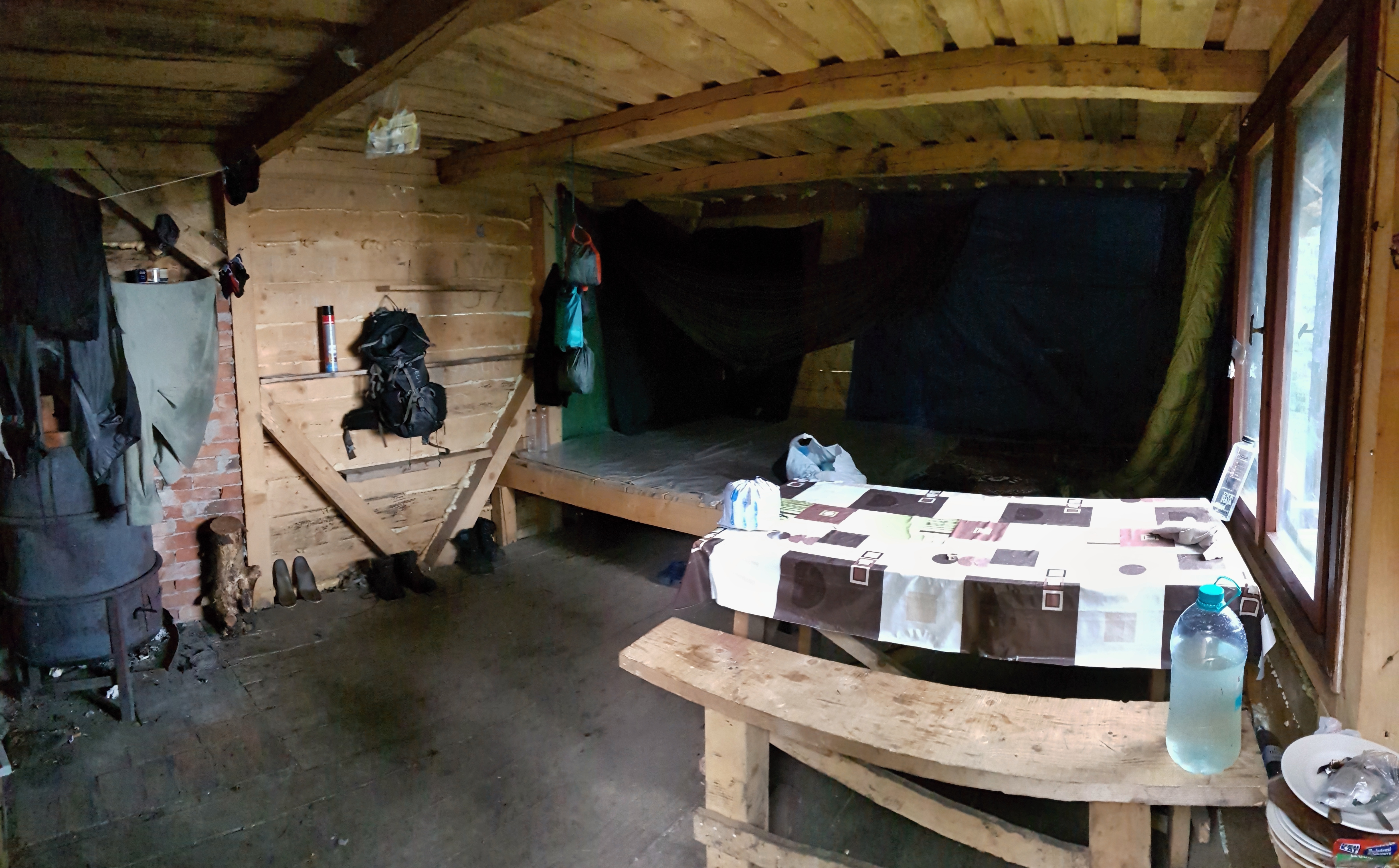
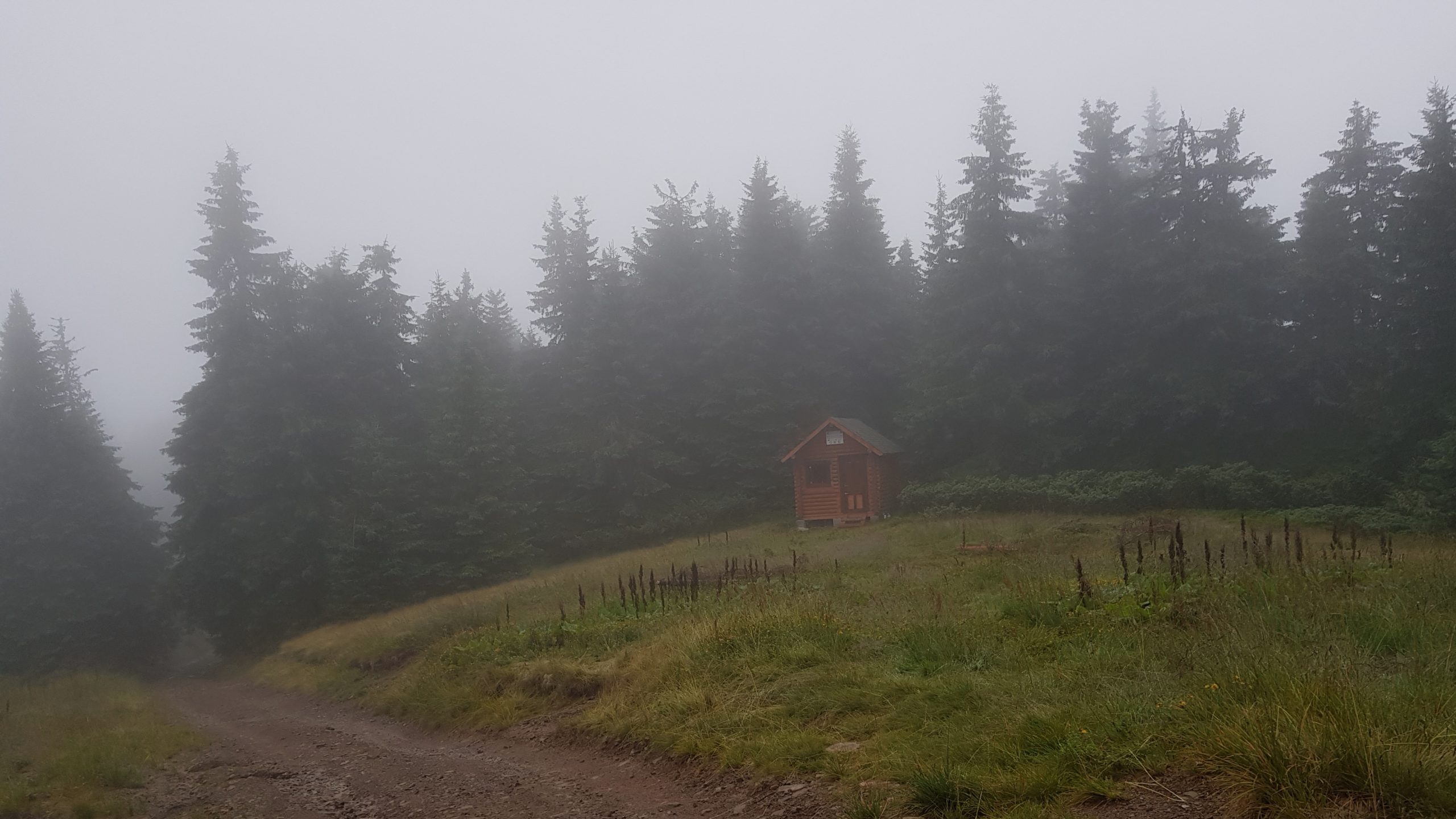
I went in the rain to the refugiu on the Sandru peak (1640). This was a metal box with disgusting paintings inside, in which I did not feel safe while the thunderstorms were passing. I realized in my free map app that there are two more refugius below the peak, which were not in the map I bought. There was just one but it was very nice so I made it my home although it was just 4 pm expecting to stay there on Thursday too as heavy rains were forecasted for that day. I also learned I got a flea while staying overnight in Poiana Uzului.
Soaked again
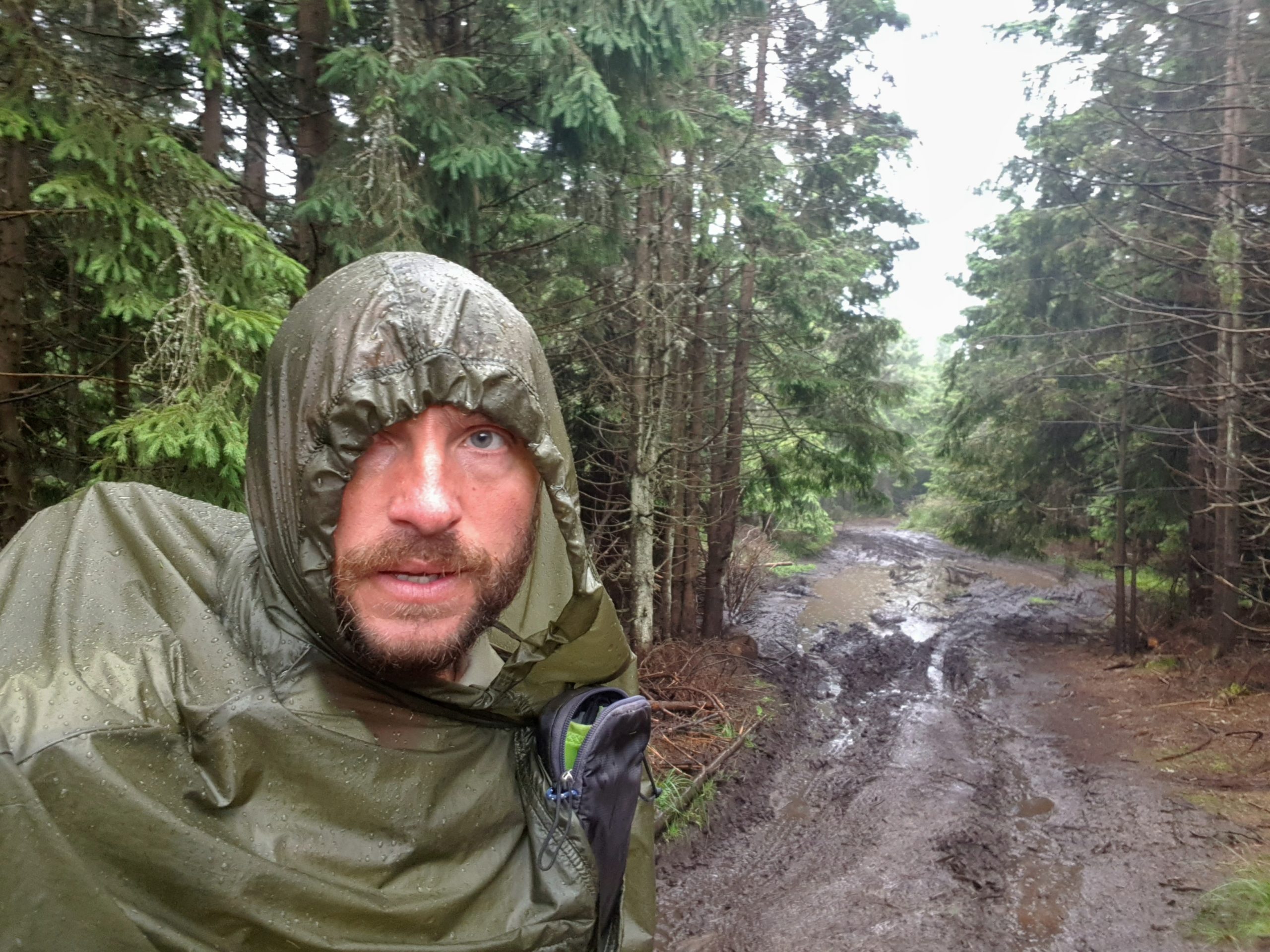
I woke up quite late expecting rain from early morning according to the weather forecast on Thursday 1st August. To my surprise there was sunshine. I looked at weather forecast and it had completely changed from yesterday night to “occasional showers” with strongest ones in the morning. As there was no rain in the morning I packed, ate lunch and set up for hike around noon regretting I lost half a day. It soon started drizzling and this turned into heavy rains as thunderstorms were passing.
I went on muddy forest roads full of puddles through forests and poianas (mountain meadows) with a vision of drying a bit, charging my phone and having dinner in a motel near the Oituz pass (860) that was shown in the map I bought. I passed near a shepherd’s house in the rain when I was surprised by dogs that were waiting hidden near the road despite of the rain. The shepherd was far away in the house and while defending to the pack of 10 or so I felt on my back. This was a desperate feeling being surrounded by wild pack clapping their teeth just a feet from my body. While falling I tore my poncho-tarp SMD Gatewood Cape. The shepherd rushed to the scene in his underwear when I was standing again expecting me to be bitten. Fortunately I was not but this encounter left me with a real trauma.
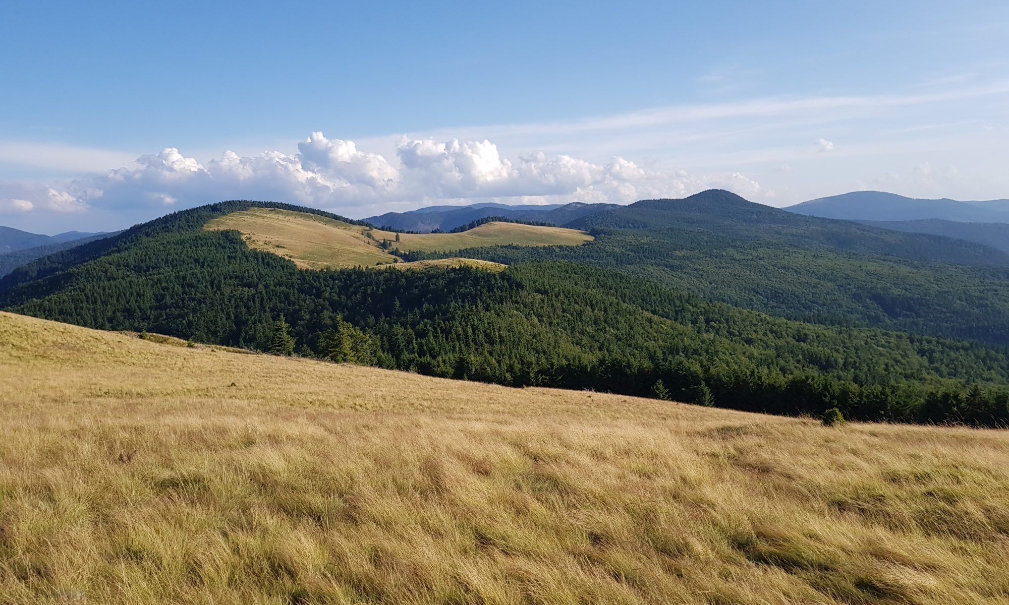
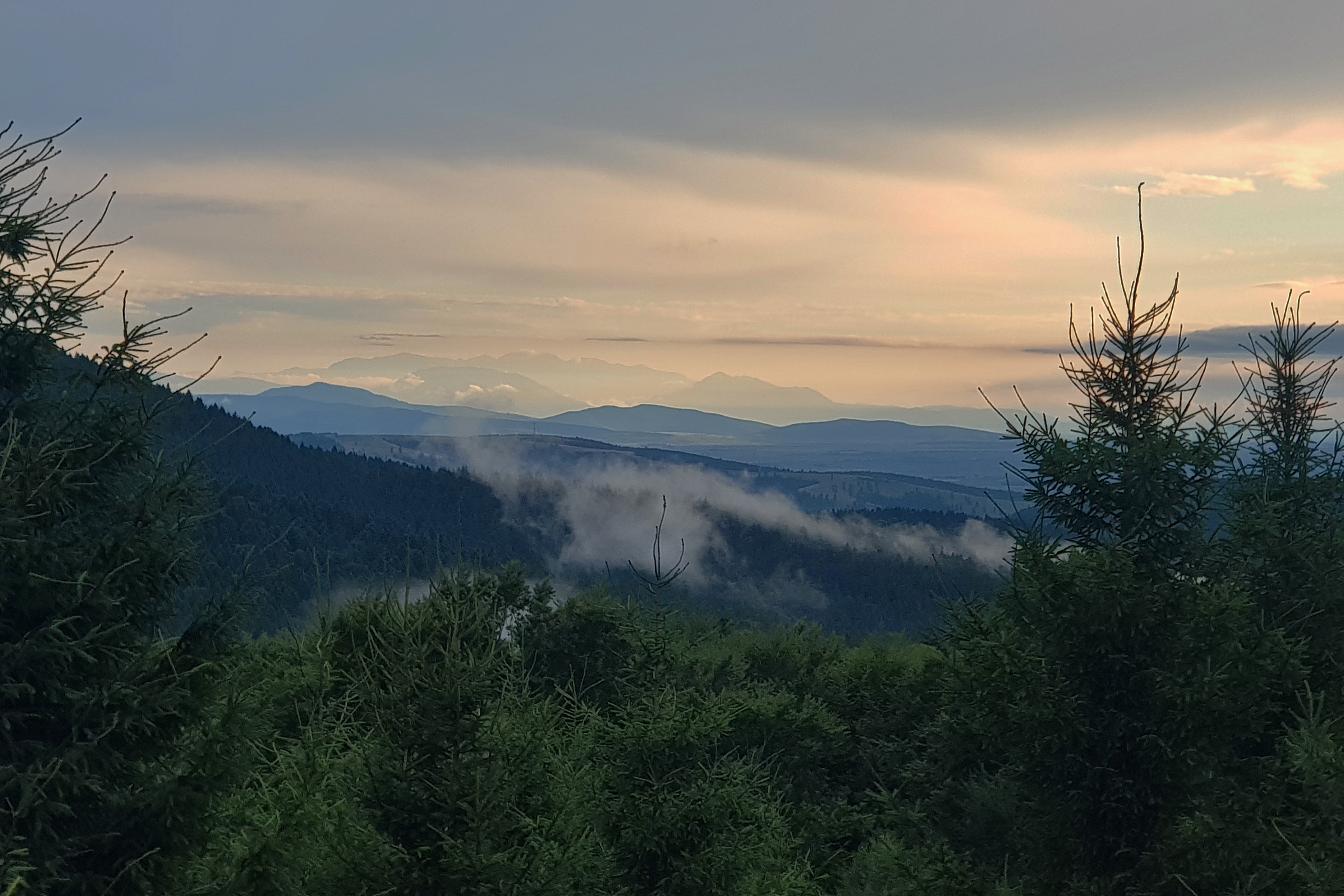
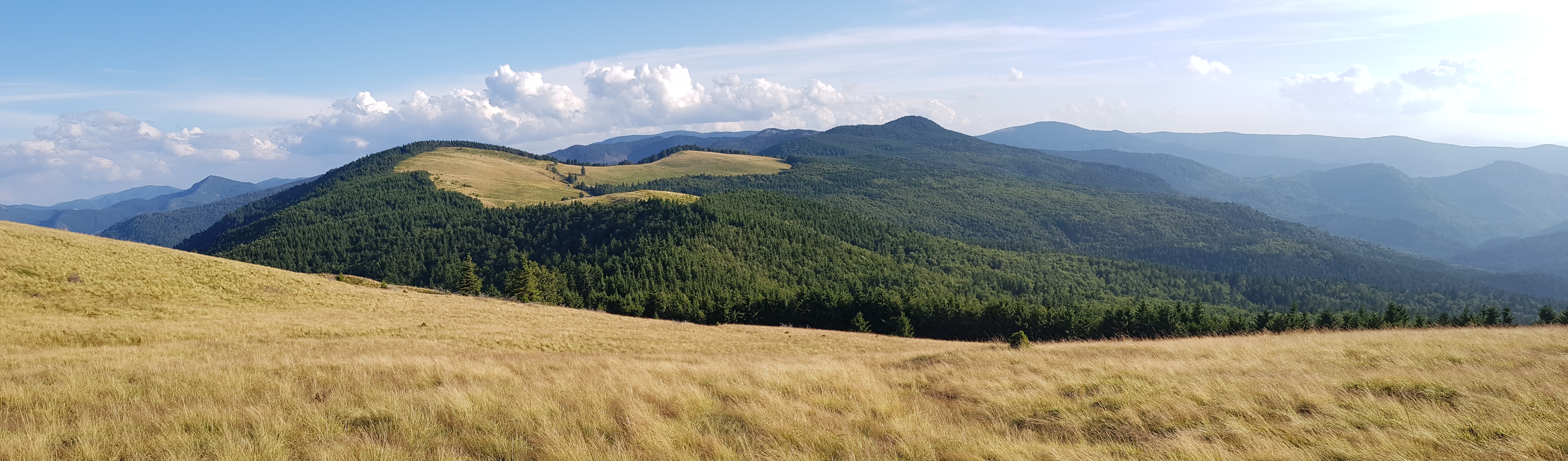
The motel was a ruin so I returned to the pass and continued south. It was getting dark when I found the path goes through a shepherds’ settlement. Dogs were on alert far away from humans so I decided to detour around the hill and camp in a pass on the other side of the hill. For the first time on this hike I could see Făgăraş mountains on southwestern horizon. The view left me wondering why shall I walk next 270 km through these forested mountains, when I could make shortcut through the lowland.
I did not believe I could make it to the Danube at that point of my journey, because I was 5 days behind my planned schedule. I had learned I could reach mountains on horizon within 1 – 3 days if going that direction, but it would take 10 days following my planned route.
I was wet, disappointed after dashed hopes of dinner in the motel, low juice for smartphone, smartwatch and stove, with no perspective of contact with civilization for the next 7 days and knowing I could not complete the dream journey anyway. The weather forecast for the next days was rain. After the afternoon traumatic event I was extremely afraid of the dogs and not willing to go through another scores of encounters with them. I must admit, I saw my prospects gloomy.
It was getting dark, I made some dinner on alcohol stove while trying to be as silent as possible as I was still quite close to the shepherds and their dogs have both good ears and noses. Fortunately, the eastern wind was strong. I stood up from squatting down near my tarp, when I noticed a movement with peripheral sight. It was a bear that started running about 60 meters from me. The bear was probably coming towards me from the south and when I stood up, it spotted me and decided to run away. I had not seen many running bears before, but this one was quite noisy and hell fast. Believe me, bears can be as fast as deer or boars.
Spoon leading to another bear encounter
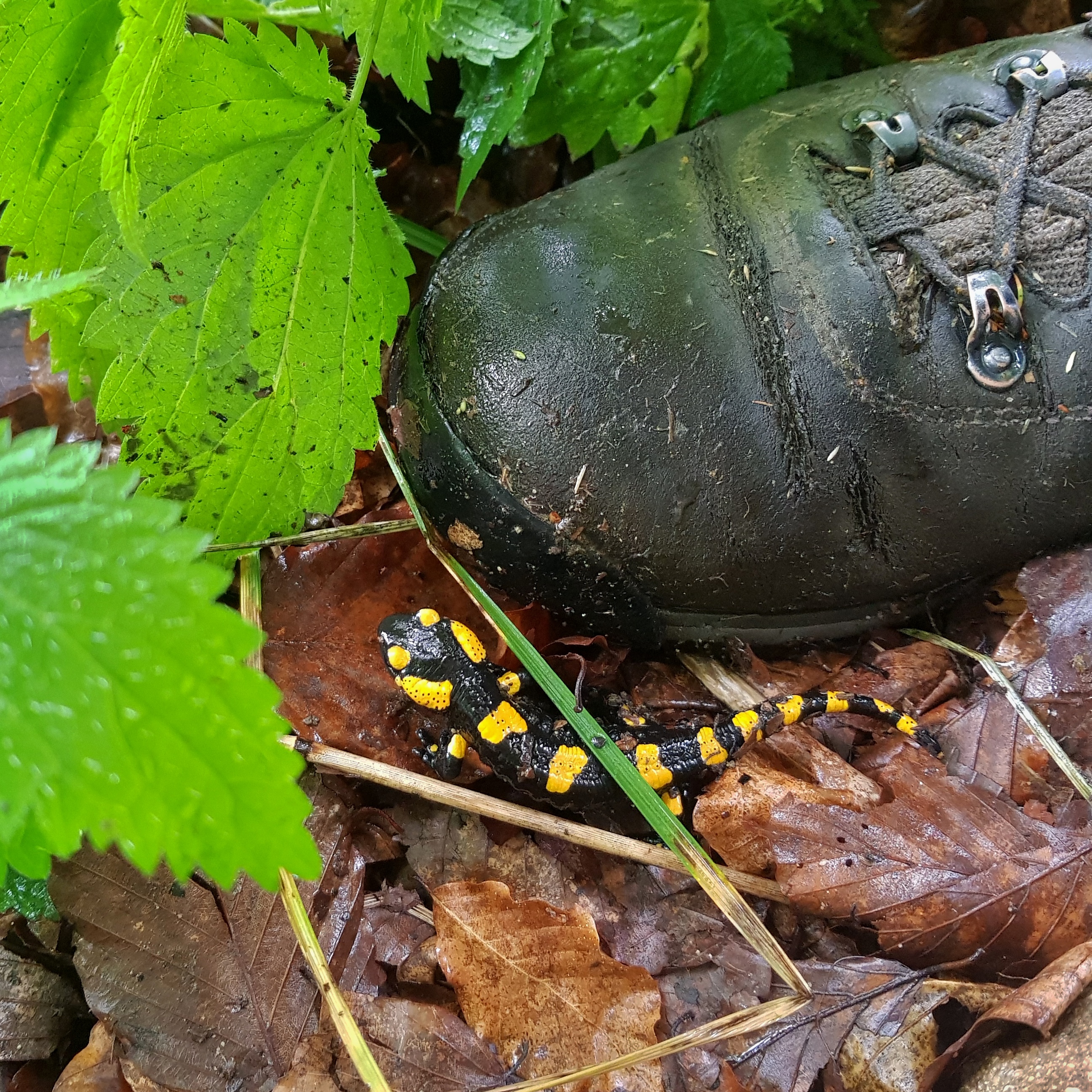
I woke up at twilight on Friday 2nd August, silently packed and set up for hike. Everything was wet from the yesterday’s rain and the forecast for tomorrow was even dimmer – rain from early morning. I went silently through the dense fog listening to where the shepherd houses could be and trying to avoid them. Dogs sniffed me at one point but I ran away. Being constantly on alert was mentally demanding and it was slowing me down. The key dilemma was beeing silent to avoid dogs or ringing jingles to avoid bears? I realized that some ancient hunter skills within me awakened – I started reading tracks: how old they are, which animals they belong to, which direction they went and when. Tracking gave me idea what was waiting behind the hill. To my surprise this just happened without my effort and I could rely on my interpretation of tracks more and more every day.
After crossing a forest I cooked a breakfast. To my surprise the road in the next pass (1070) was a busy one so I decided to hitch-hike 10 kilometres to Ojdula village, buy some lunch and recharge my phone and batteries. It was a good choice as it drove the fears of running out of electricity and food away.
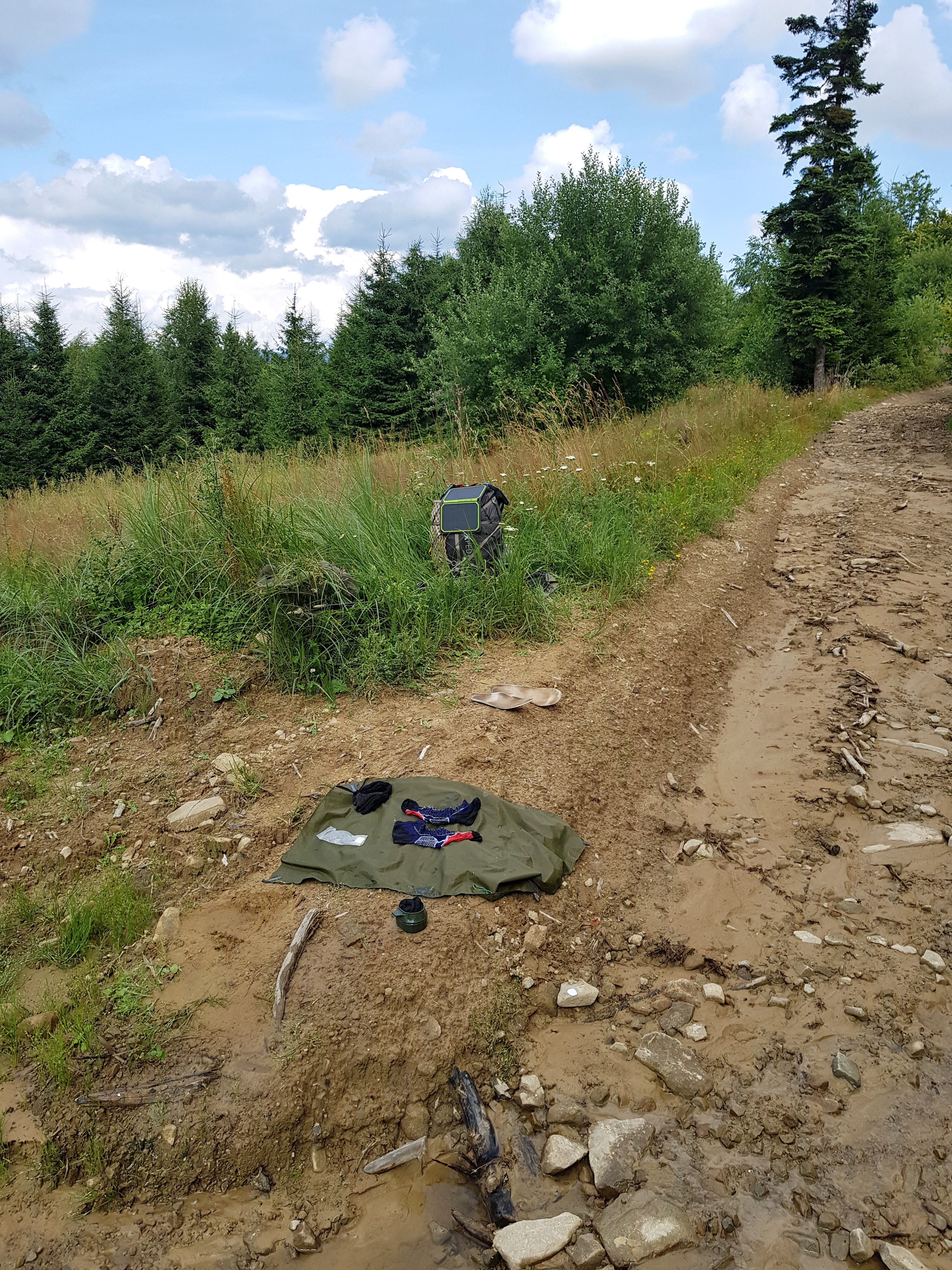
Unfortunately while having a lunch I realized I lost my spoon again. I must have left it at the breakfast point. So after hitch-hiking back to the pass, I hided my backpack there and went 4 km to the breakfast spot and back. To my surprise the spoon was not there. It took me painful 10 minutes to find it. Near the pass I spent another hour washing my socks as it was the only chance for them to dry before the rains come on Saturday and Sunday. I learned my feet are OK but the boots are smelling after being constantly wet for several days and pass the smell to socks so I washed the inlays too. It was 5 pm when I started from the pass heading ahead 23 km to the refugiu under Lacauți peak (1777). What seemed in the morning as a short hike turned at this point into a race.
I wanted to reach the shelter before night rains come. It was obvious I would need to walk at night with high probability of meeting bears. I called back home I would be hiking in the dark and that I would send notification after reaching the shelter. At about 6:30 pm I came to a sign saying the peak is 8-9 hours walk away. To that point I had already gone through places where the trail was non-existent and I could hardly see what once probably was a forest path. Signs of bear presence were frequent.
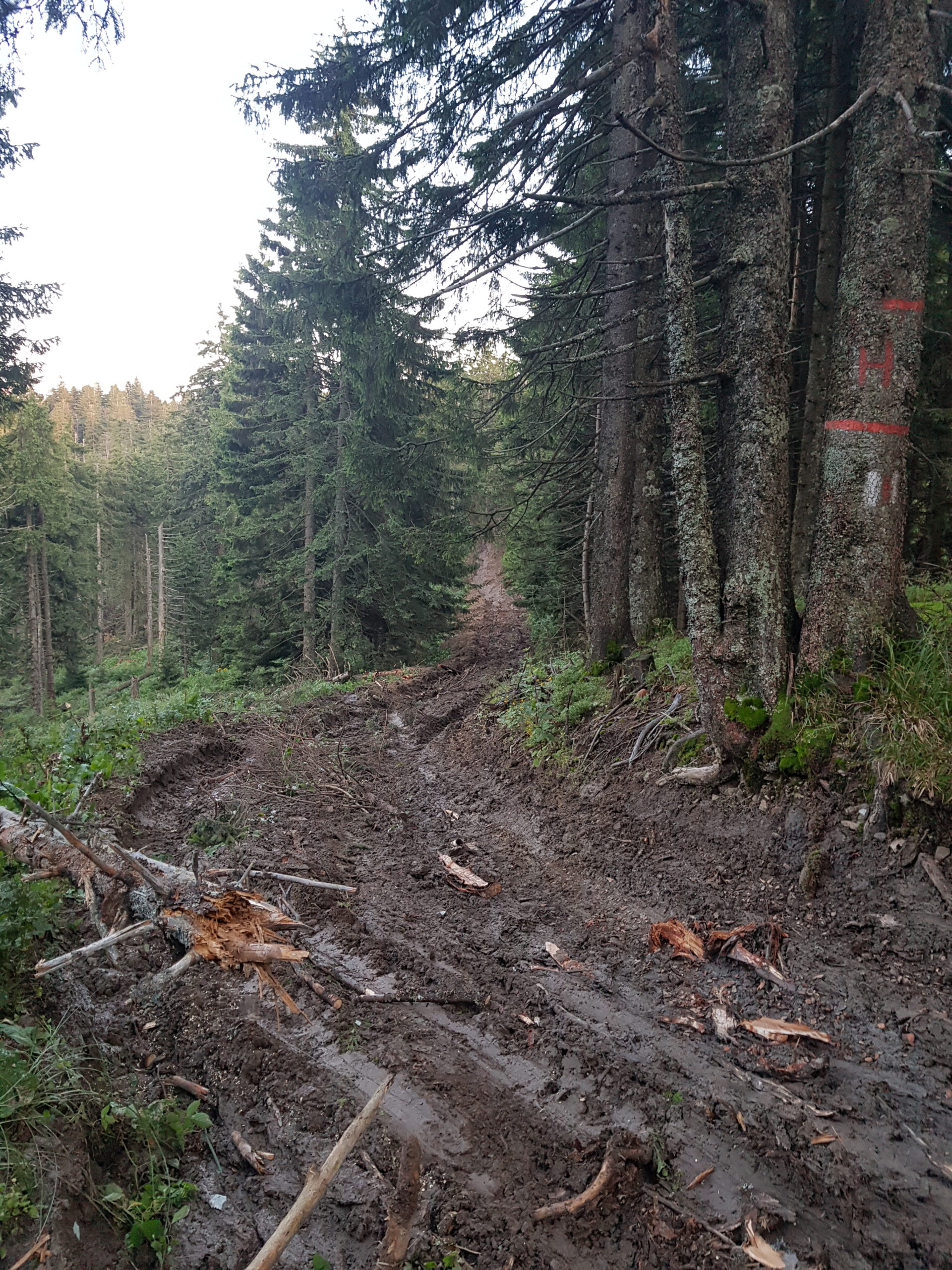
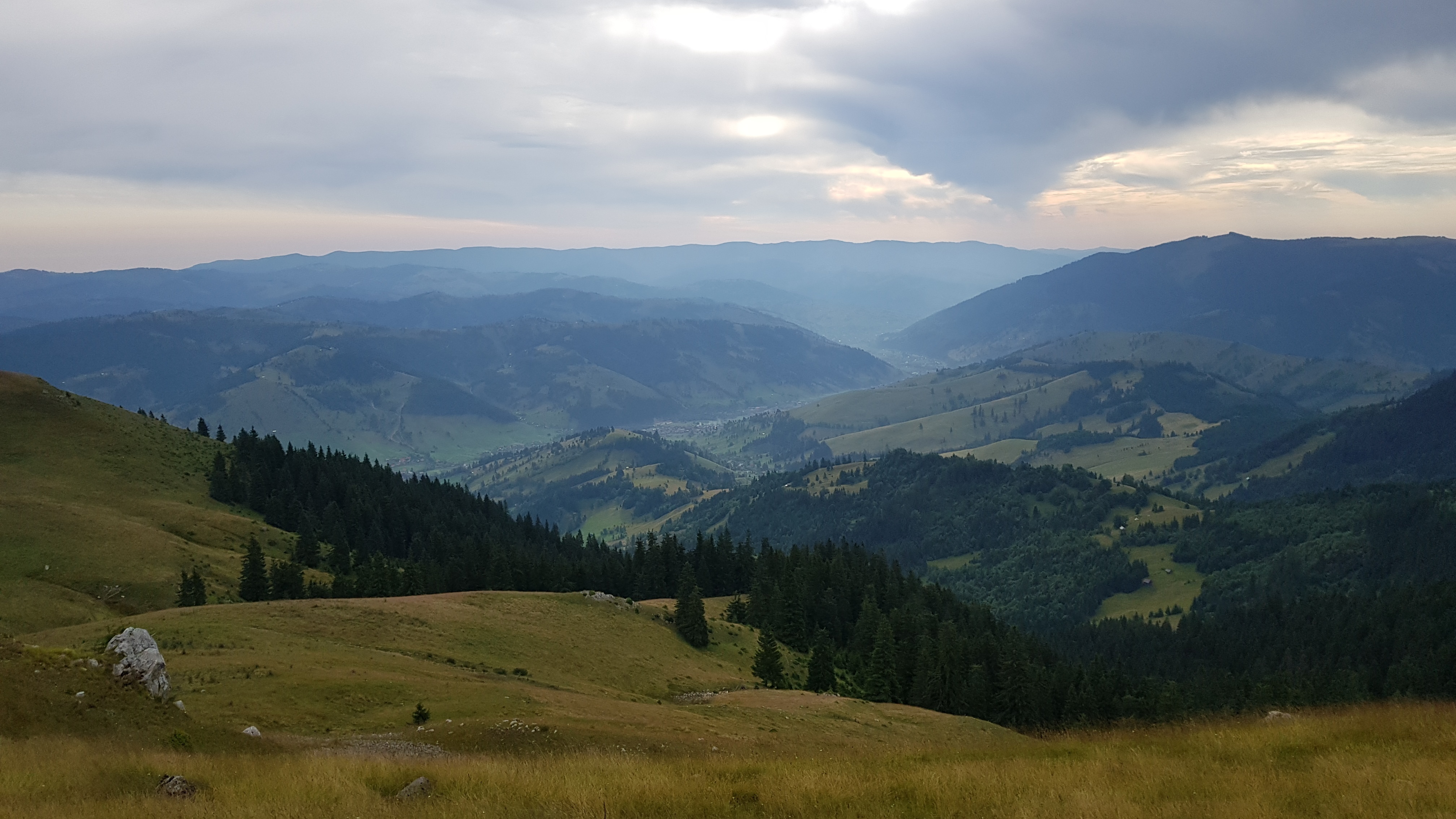
However, even without dinner I mobilized all my power and went as fast as possible. Fortunately the road was well-marked, unfortunately it led on forest roads full of fresh mud loggers left behind on workdays. The area had no mobile signal coverage. At sunset I could see through the clearcuts more open eastern ridges of the Vrancea mountain range with the peak of Cristianu (1629).
It turned dark and I put my headlamp on. At one point I spotted fresh bear tracks. It was a big guy going my direction. So I continued singing loudly and making noise with jingles praying for God’s protection. We met at a poiana (mountain meadow) under Lujerul-Cobert peak (1517). The bear was jumping in a grass 150 meters away but when he spotted me, he hided and I could see only his head. I continued walking on poiana without paying any attention to him. When I passed him and thanked God I am safe, I realized I took the wrong direction. I should have turned left immediately after entering poiana actually avoiding passing by the bear. So I turned back and went the correct way thinking the bear is still at its spot. But he was not. He retreated right on my path so when I approached the forest I was surprised when a huge shadowy mass started moving. I could see the bear running uphill growling loudly. I refused to follow the tourist marking sending me in the bear’s direction and continued on the forest road, which later appeared to be the correct way.
I walked extremely fast, running wherever possible, but not feeling fatigue due to the stress. I doped with glucose bar while walking. I counted time and kilometres to the shelter, chanted, whistled, looked for bear tracks but nothing happened apart from crazy dogs at Lacauți transmission station that were fortunately behind a fence. At about 11 pm I reached the refugiu, thanking God for protection. I bet this was a hiking speed record between the pass and the peak.
But this still was not the end of the day. Despite the fatigue, I needed to find firewood and water before the forecasted rains turn water dirty and wood wet. I was not lucky with finding a spring but collected some from small streams running on the forest road. Also making the shelter my home took some time.
The rest day
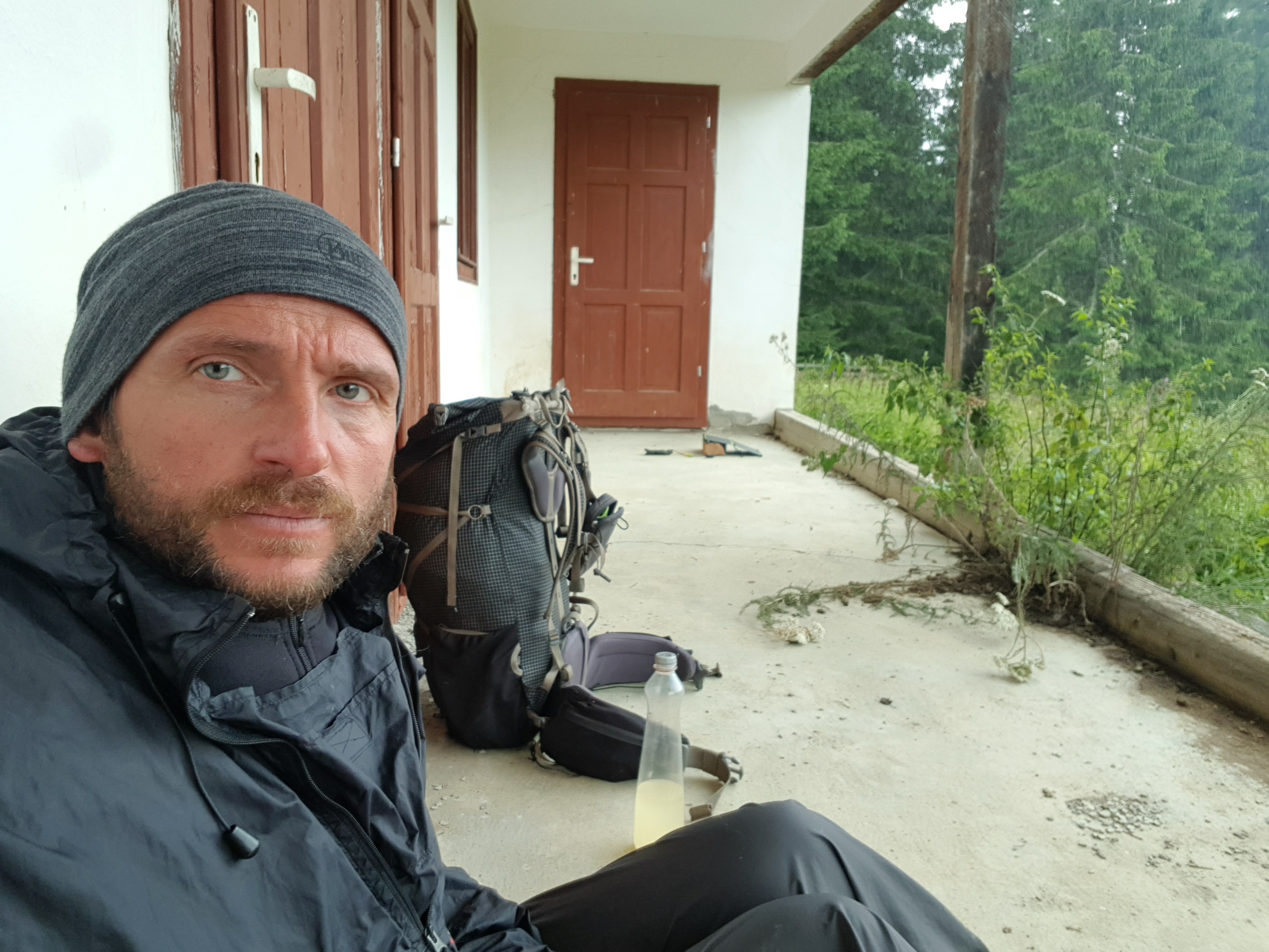
I woke up about 8 am on Saturday 3rd August because I went to bed very late: before getting into sleeping bag in refugiu I needed get drinking water and fuel for the woodstove as according to the weather forecast the rain should start 3 am.
Surprisingly there was no rain and now and then sun shined through the clouds, which translates to fog at 1700 m altitude. It reminded me of situation two days ago so I ran on a hill to get GSM signal for the forecast. It promised rain later the day so I stayed in my temporary home and it was a good decision.It was raining the whole afternoon and the evening. I ran out of water and almost needed to filter the dirty liquid from the road, but fortunately two guys in an all-terrain vehicle – the only two passer-byers on this weekend day – left me theirs. (Months later I learned from a friend there is a spring in the forest to the north.) So I wrote the blog, cooked, repaired gear, made some laundry and the day passed much faster than I expected still having things on my to-do list.
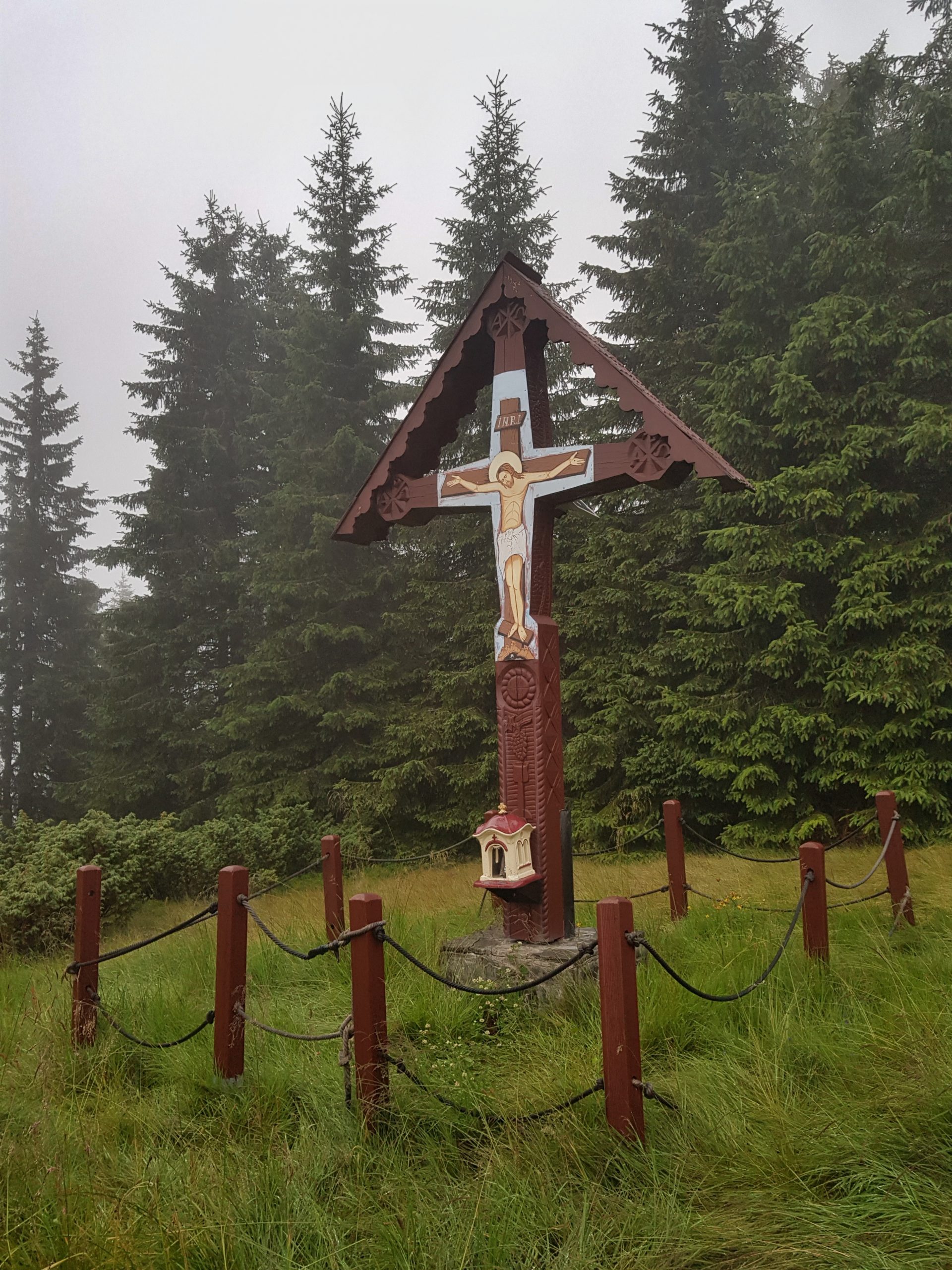
There was a cross with solar panel and batteries that run small eternal light. I tried to connect my gadgets by destructing my backup micro USB cable but it did not have the right voltage. As I learned later, it is wise to take small 12V adapter with you to Romanian mountains because this enables getting electricity at some refugius and from some shepherds.
I went to bed just before the midnight while the rain was still drumming on the roof of the shelter.
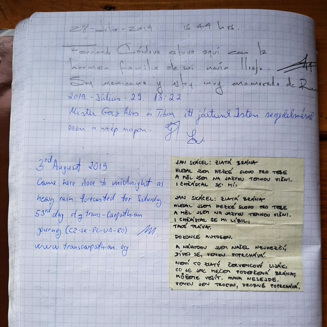
5 weeks later I received a thank-you letter from a Czech tourist who walked these mountains in the opposite direction and felt as lonely as I did. He found my entry in the refugiu logbook along with one of the Jan Skácel’s poems I got from Pája and was leaving them behind me. He wrote me this made his day and warmed his heart.
Meeting a wolf
I got up quite late on Sunday 4th August. I was not happy with it as I wanted to get as far as possible since only showers were forecasted, but later it appeared the timing was just right. I soon soaked walking in the wet vegetation.
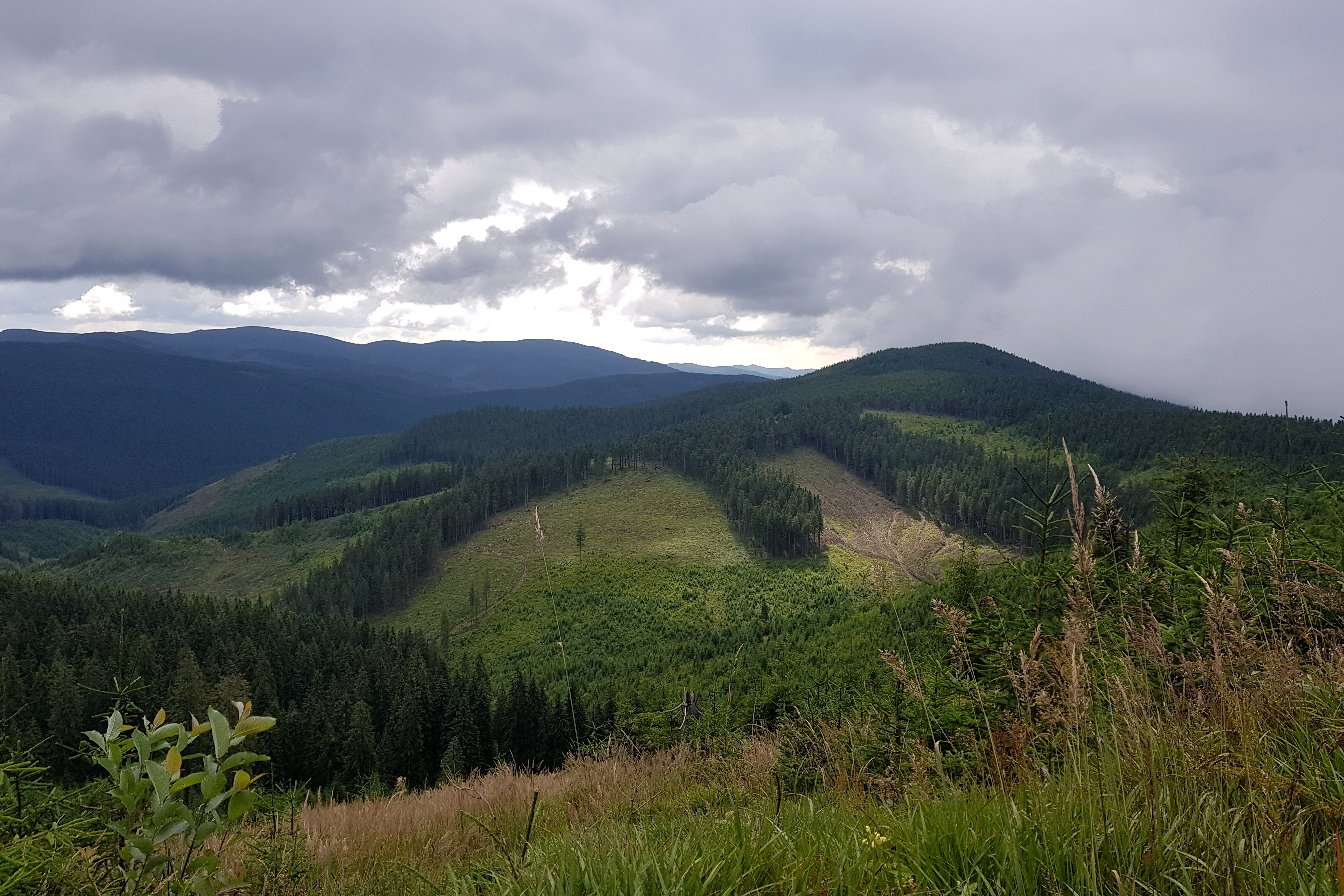
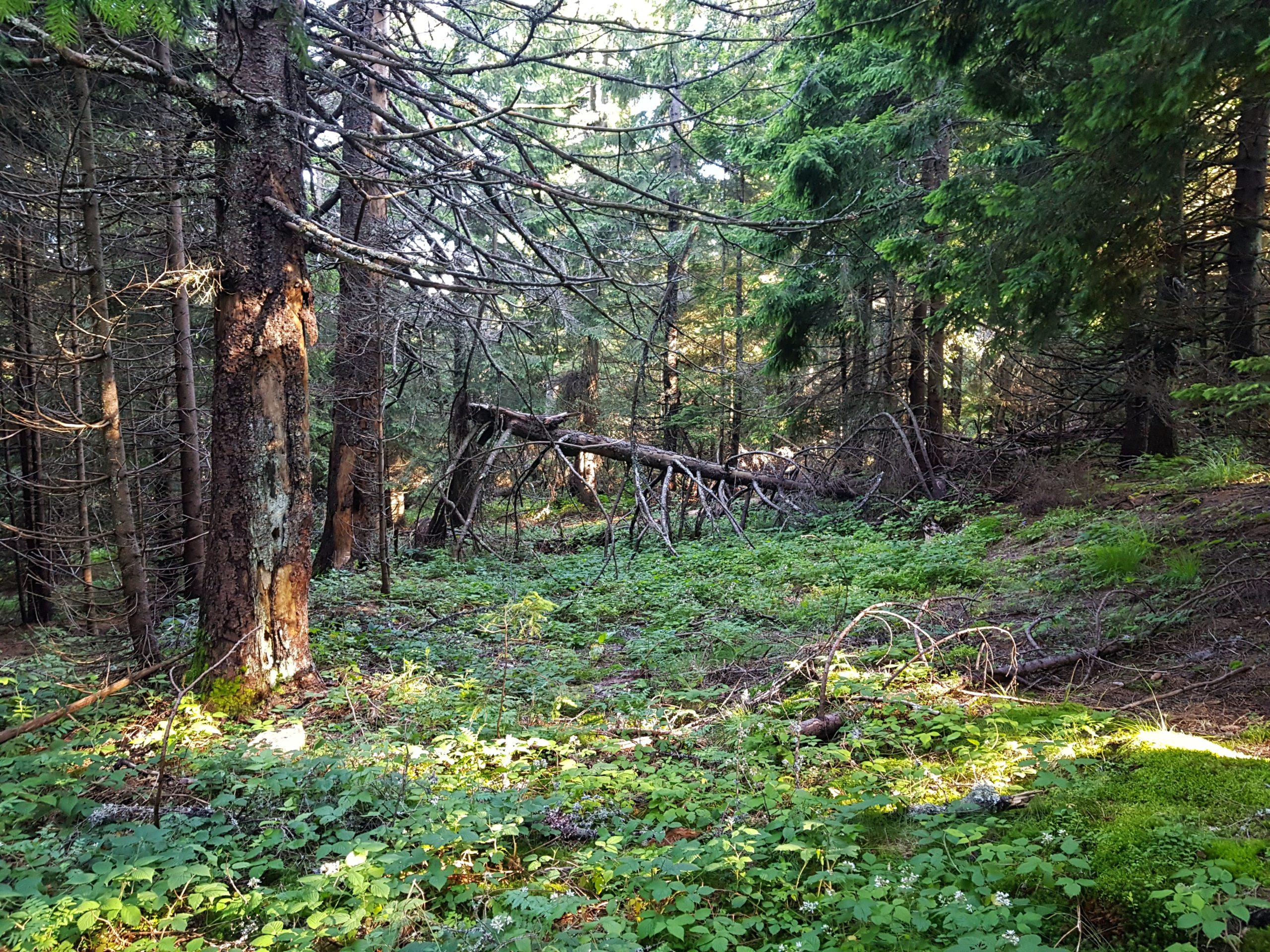
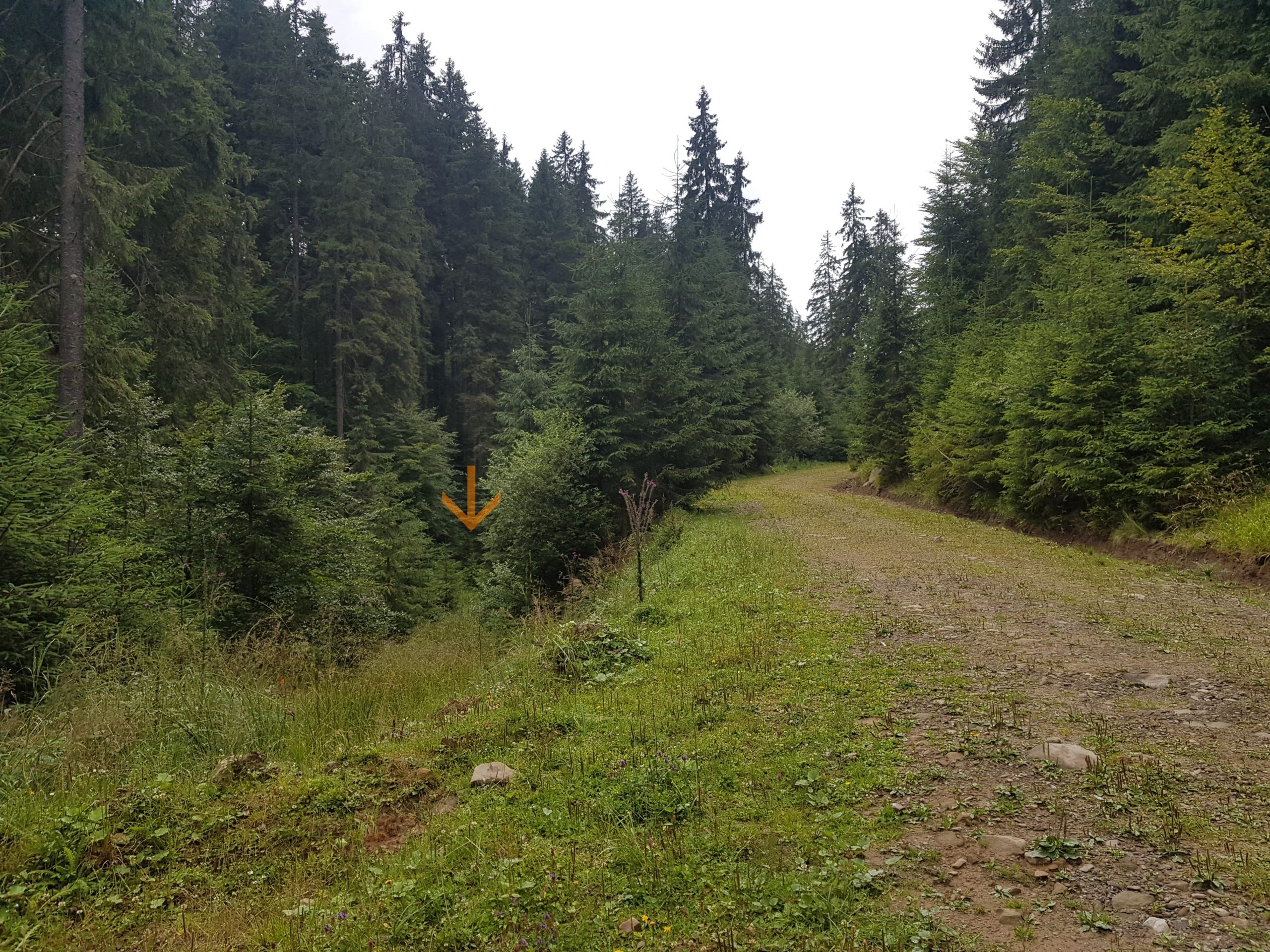
Clearcuts opened views over this part of Vrancea mountains. Once heavily forested, now extensively logged as other forests in Romania. The tourist signage disappeared soon. It was clear only bears walk nowadays what once were forest roads. No wonder I lost my way but it did not make much difference walking through forest or forest road with fallen trees and often overgrown with high vegetation.
In the Delusor mountain pass (1200) I made a lunchbreak right in the time when the strongest rain of the day was passing by. It was nice to watch it from a terrace of an abandoned cottage. I continued over Piscul Hergheliei (1412) and in the next pass came to a newly built wide forest road. Wow, what a difference!
When my trail was about to leave this road into something what once was a forest road with high wet grass, I decided to follow the wide one and go rather few kilometers longer than following the main ridge. I never enjoyed wide forest roads but this time it was different. Even the sun started shining among clouds adding to my euphoria. I need not sing loudly because I could see 100 meters ahead of me and thus spot a bear early enough. There were just few bear scats and no fresh tracks anyway. I need not elbow my way through vegetation. Feeling of safety, happiness.
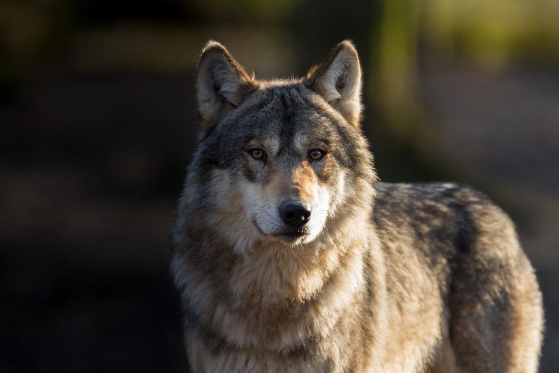
And then I could see on the slope across a stream about 50 meters from me a beautiful head. We were staring at each other with a wolf for about 3 seconds. REAL WOLF, beautifully lightened in the evening sun. I tried to take my smartphone from the pouch to make a photo but the wolf turned back and started climbing up the hill. The wolf disappeared in vegetation sooner than I could start my camera.
I continued to what was probably a settlement of the local forester. The settlement was clean and beautifully decorated and the forest infrastructure looked similar. All the roads were named, plentiful picnic areas for visitors built along them, impressive. Another rainshower came and I decided to climb back on the main ridge using another newly built forest road. It even got signage like a real road :-).
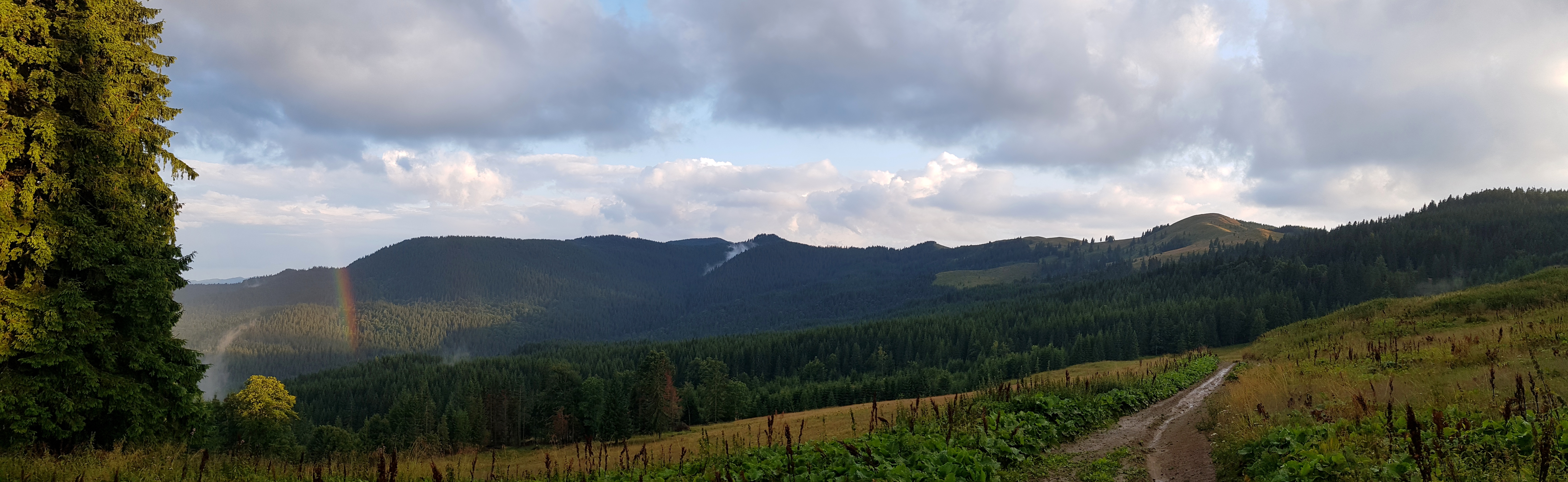
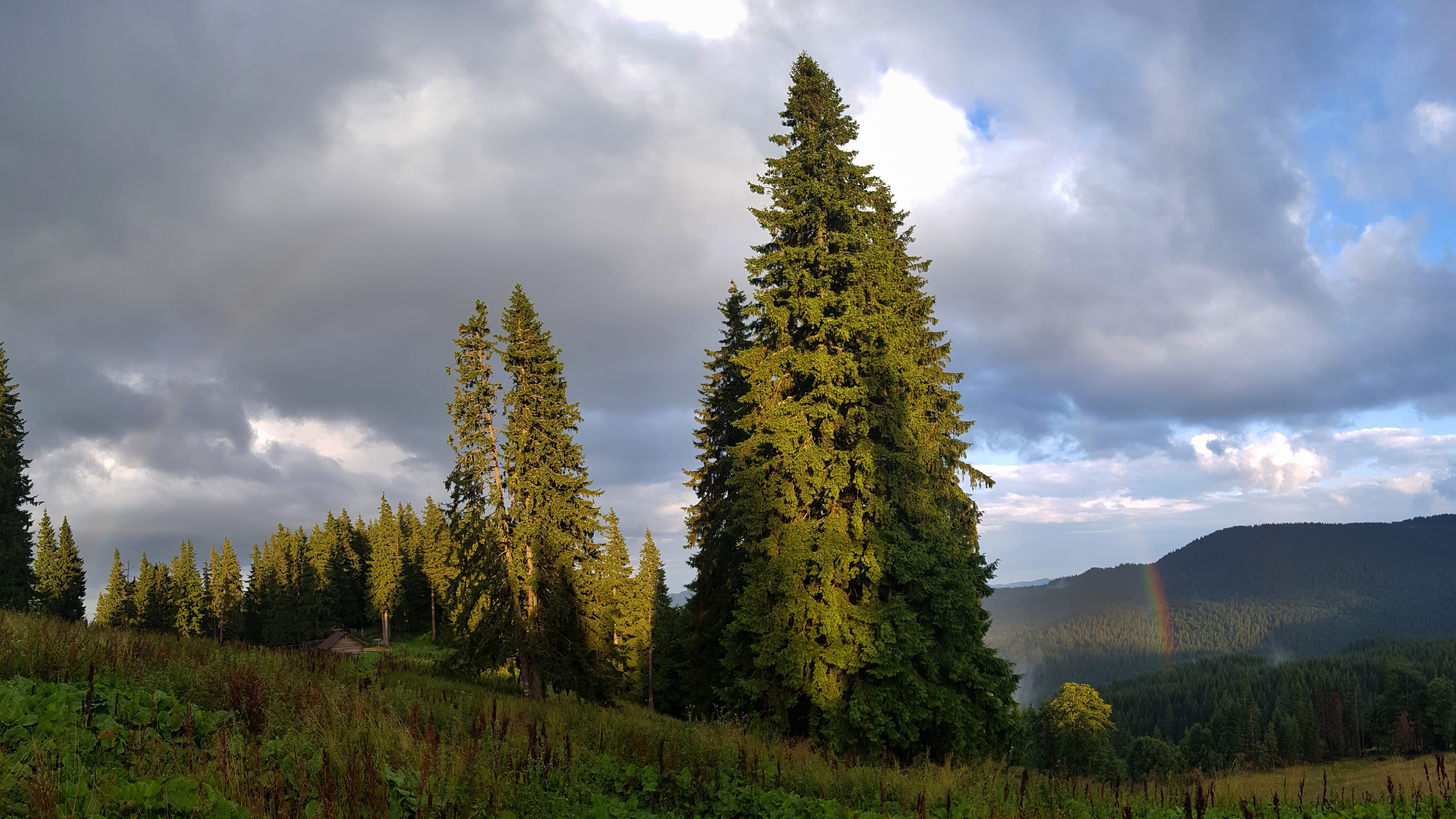
It was about 8 pm when I came on a side ridge and a beautiful view opened on Penteleu mountains. When I was filming a short video, another rainshower came making a rainbow to my left and …. in the middle of the rainbow on a side ridge was newly built, but not inhabited shepherds’ house. Miracle. Moments of thankfullness for having some dry place. I soon colonized it but it was difficult to fall into sleep due to flea bites from previous days.
One Reply to “A week of loneliness”
Comments are closed.