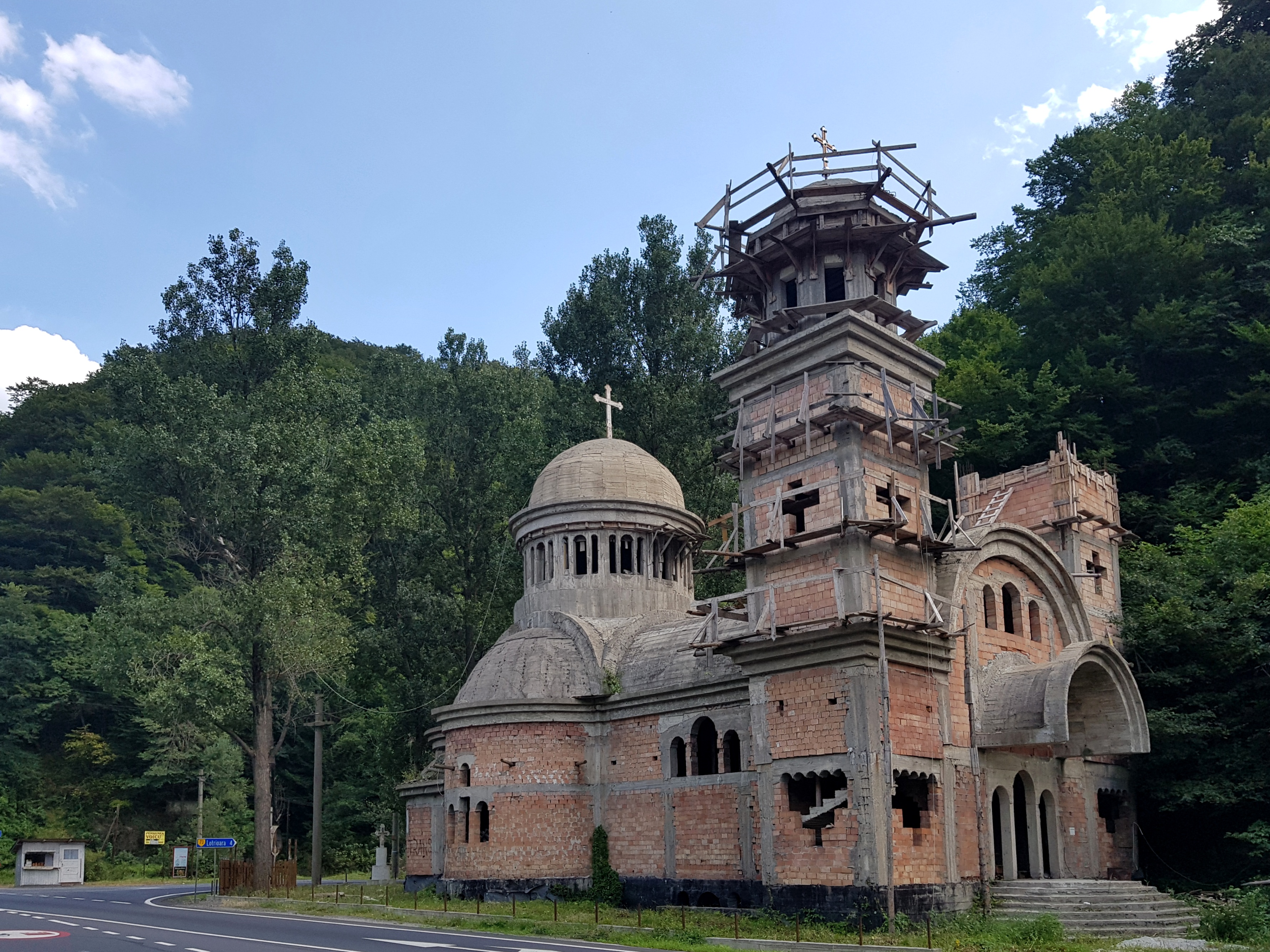
The turning point
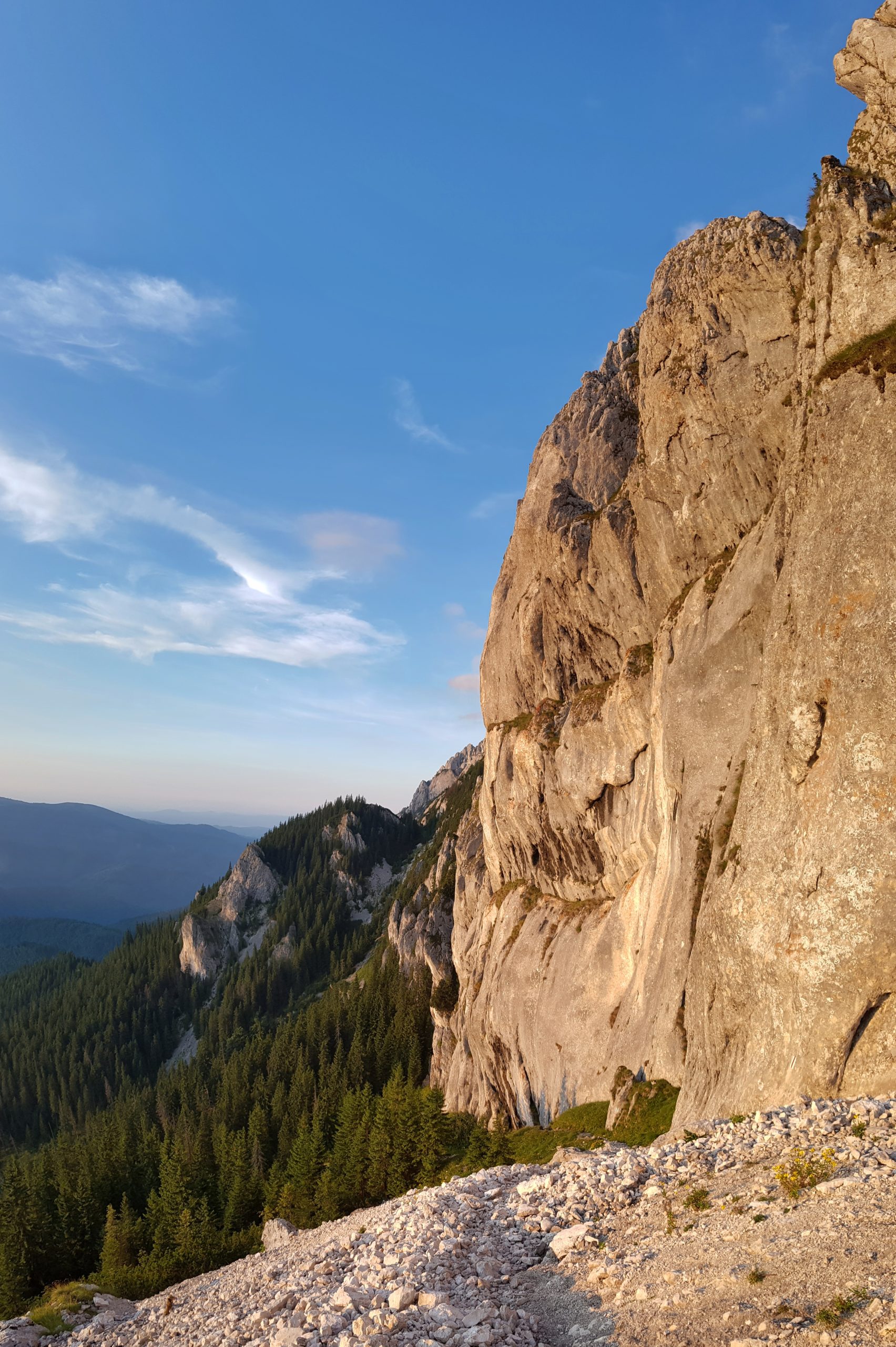
When started hiking from the shepherds’ house to the south on Monday 5th August, I noticed fresh wolf’s tracks at the same place I spotted older ones the day before while searching for water. Some blueberry pickers were harvesting the nearby hill and there was even a tourist marking passing by my last night’s shelter. The joy from these touches of civilization drained soon. Though there were tourist signs telling that “the meteo station is 15 minutes closer than it was at the previous one” built with the support of EU funds, the trail was soon hard to recognize in juniper and blueberries and then it led through a forest damaged by a windstorm.
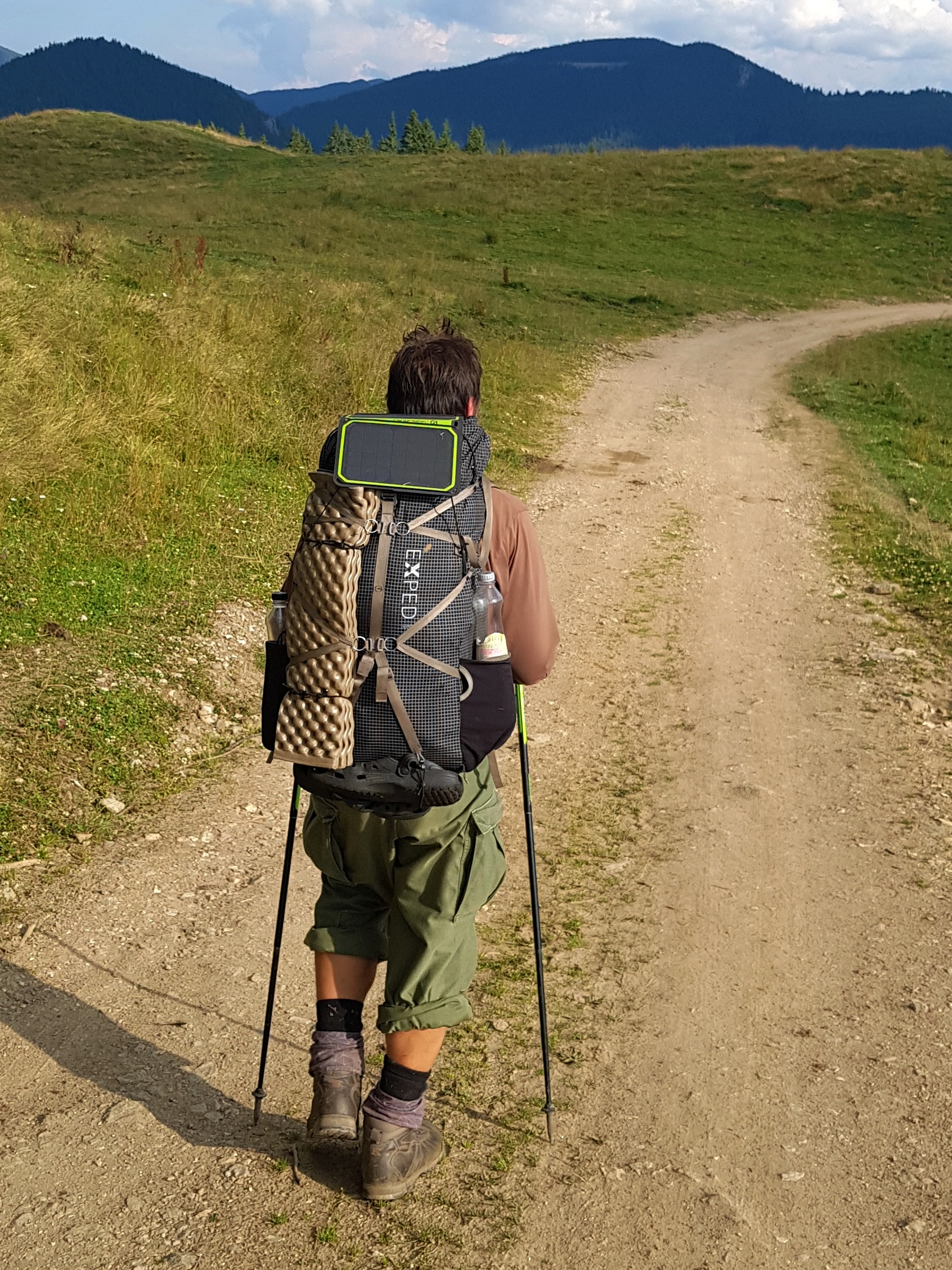
I regretted I had not put the rain overcoat for my trousers (not talking about shoes) were totally soaked so I needed to wring water out of them. My speed was frustrating 1 kilometre per hour as I needed to be careful not to make an injury while crossing the fallen trees.

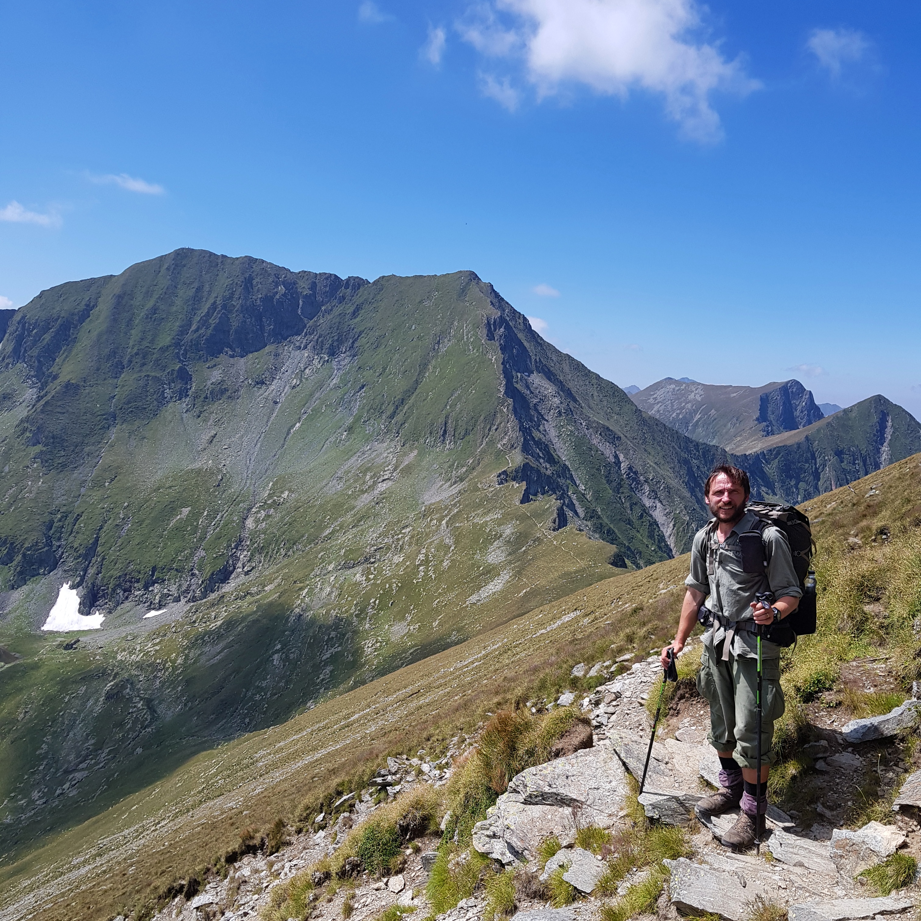
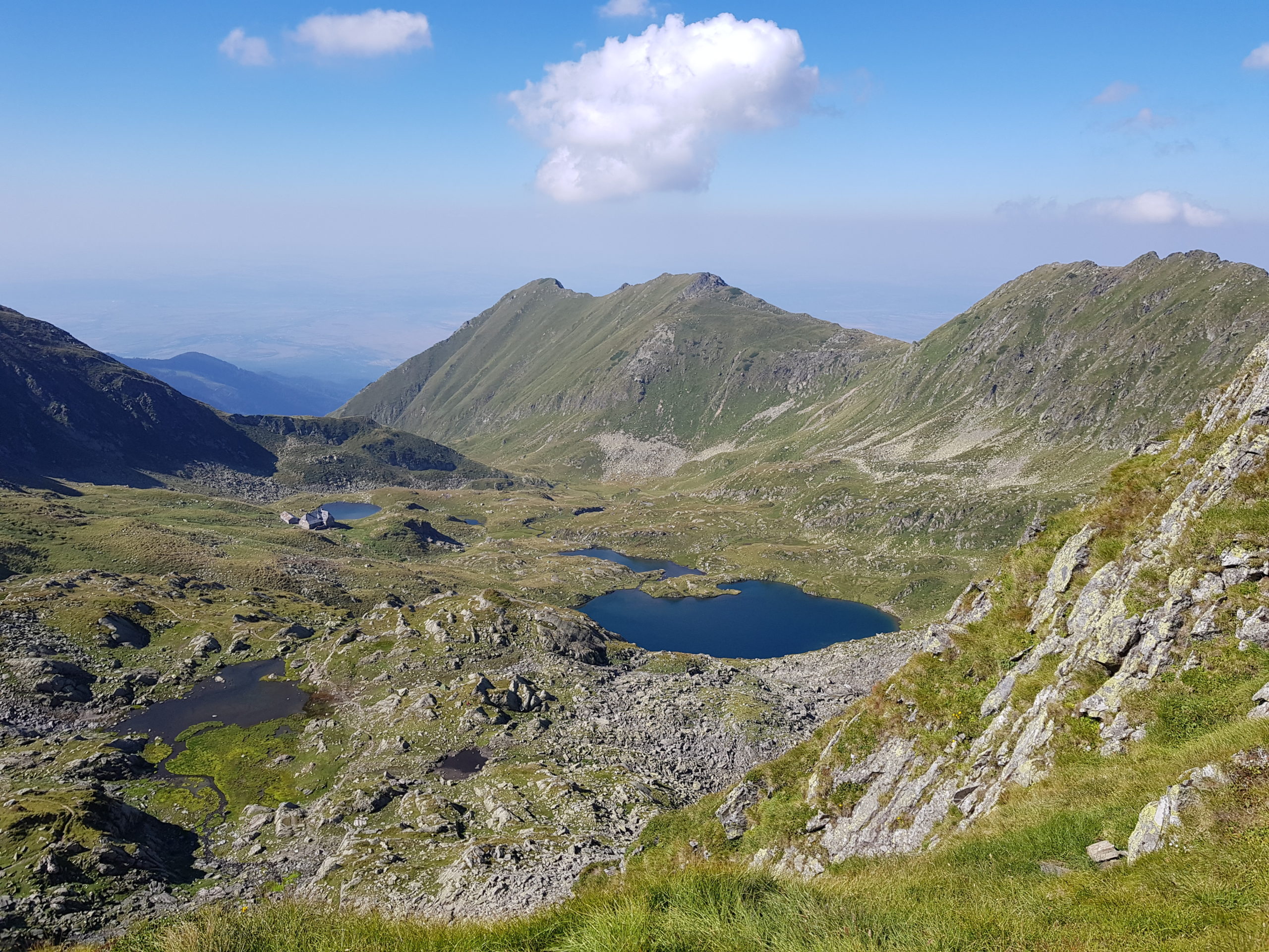
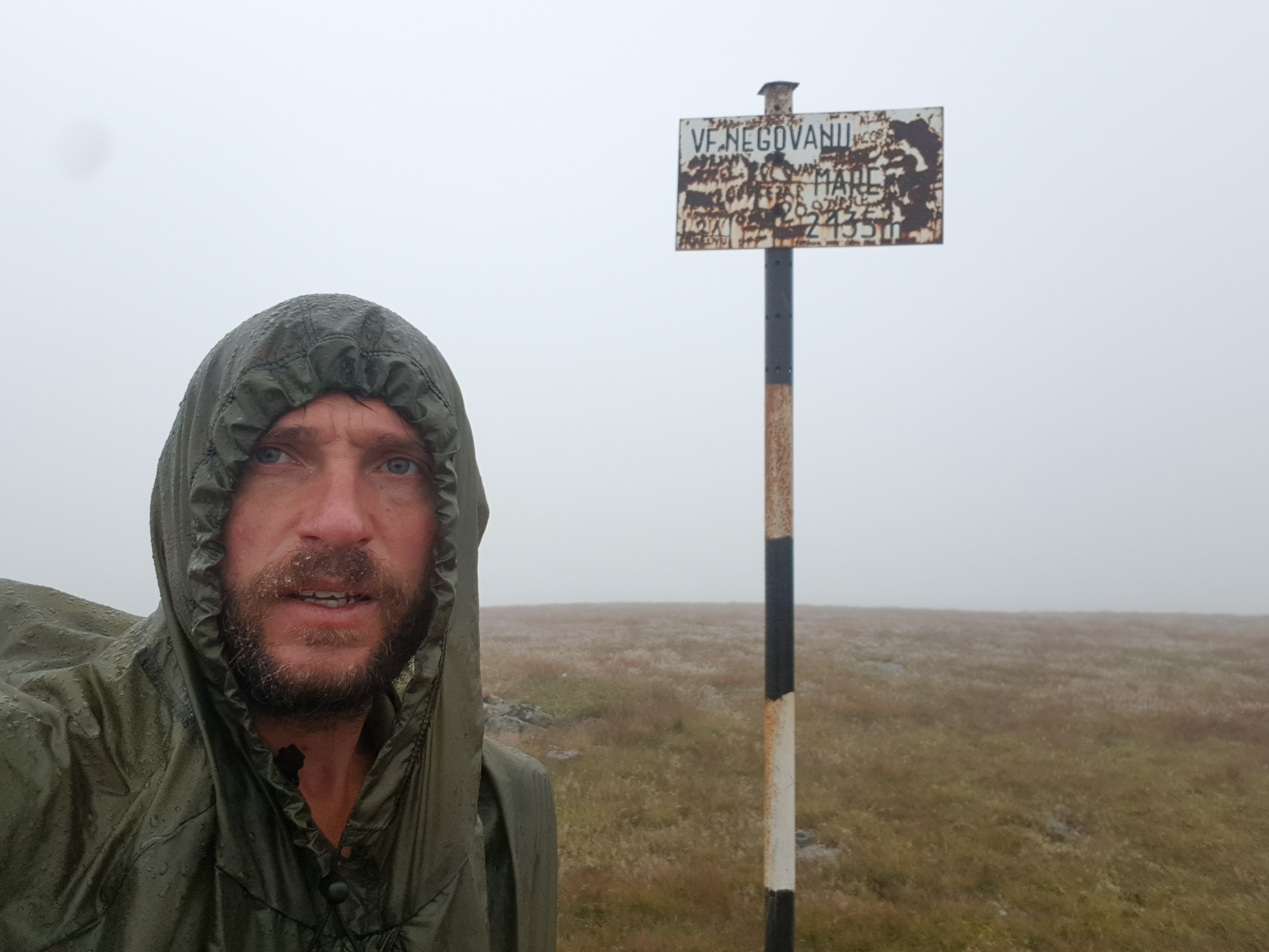
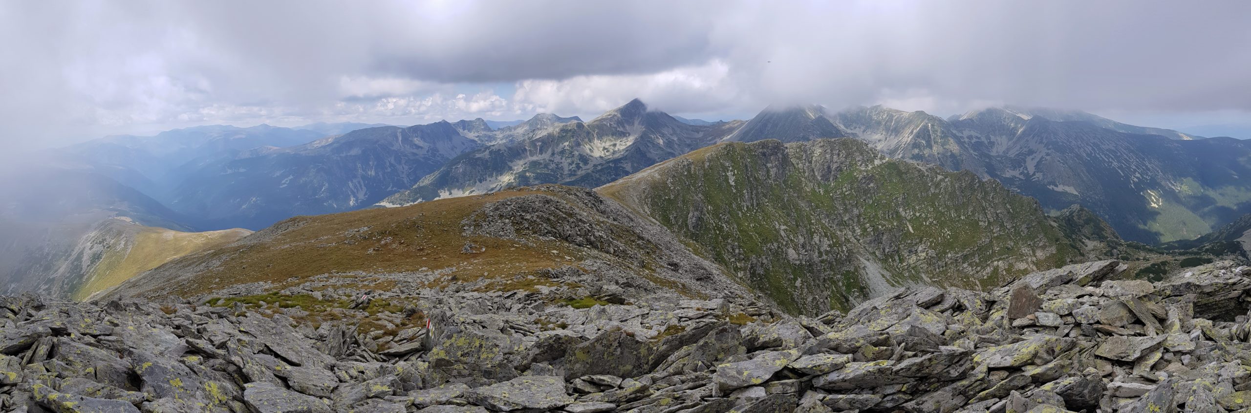
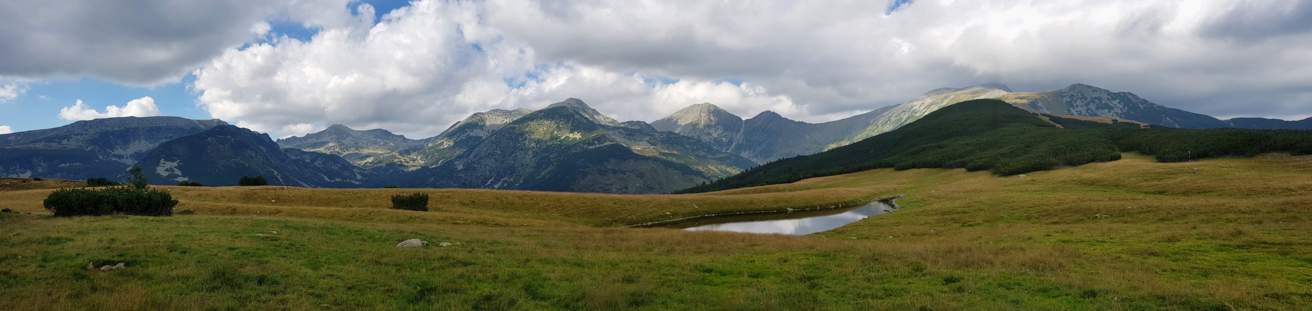
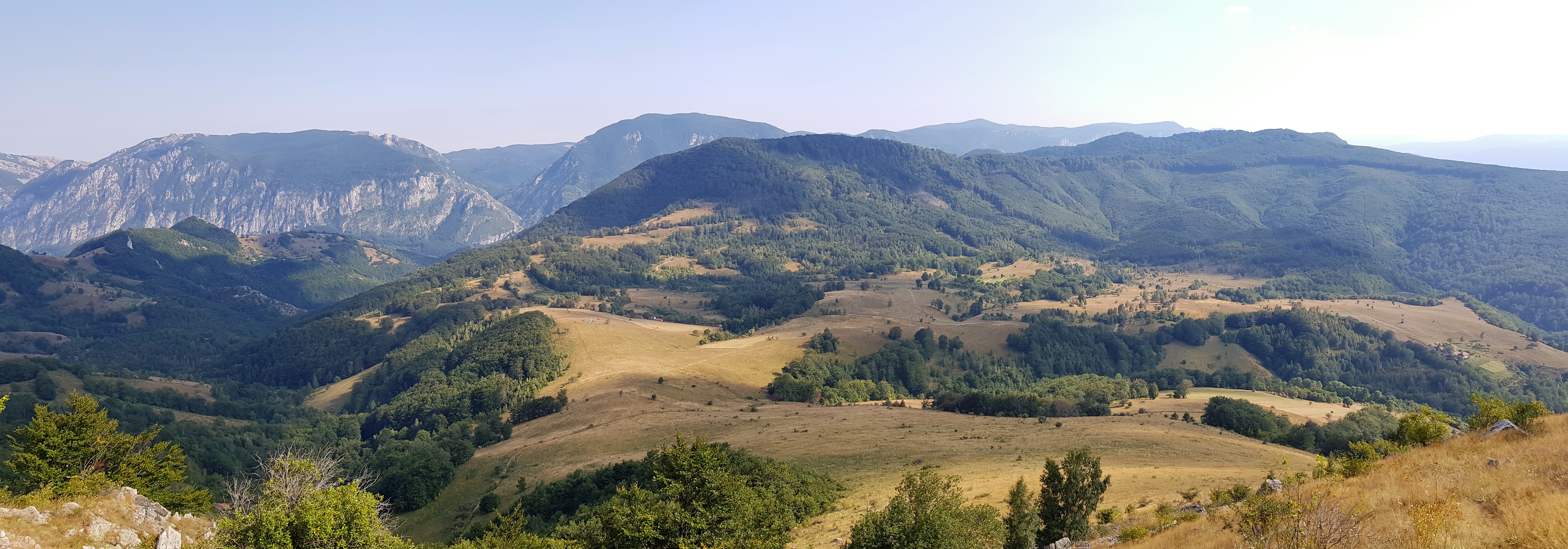
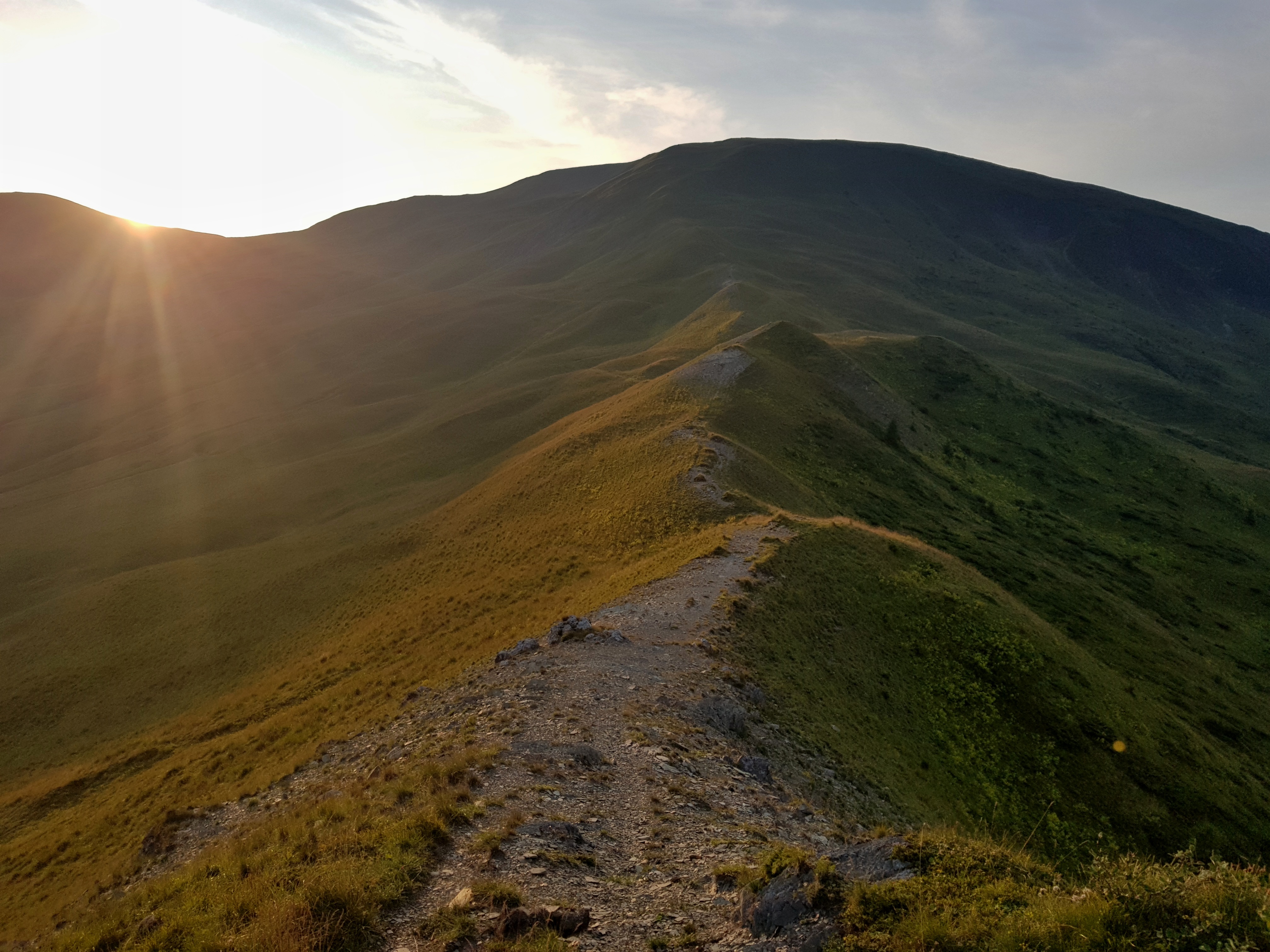
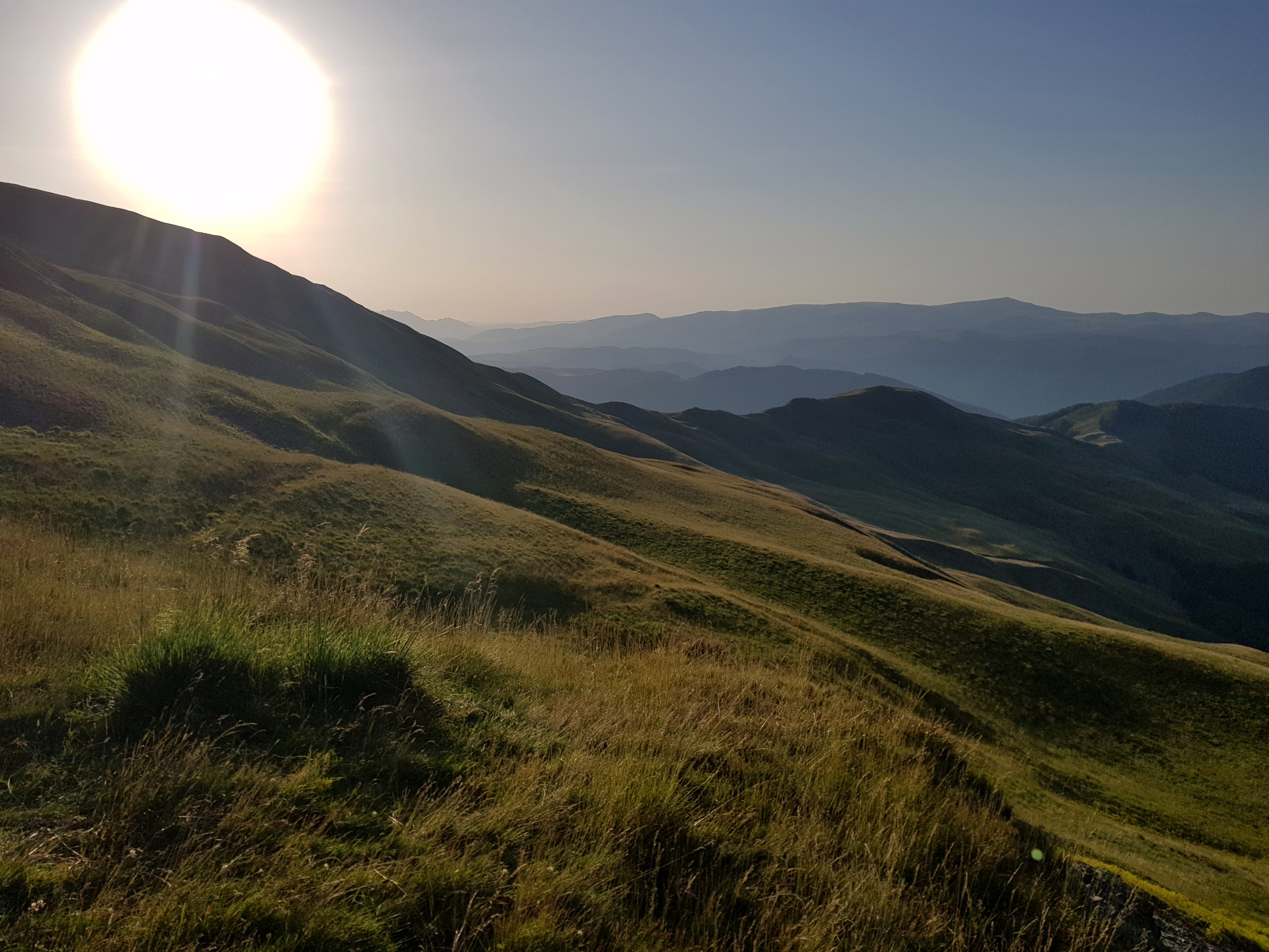
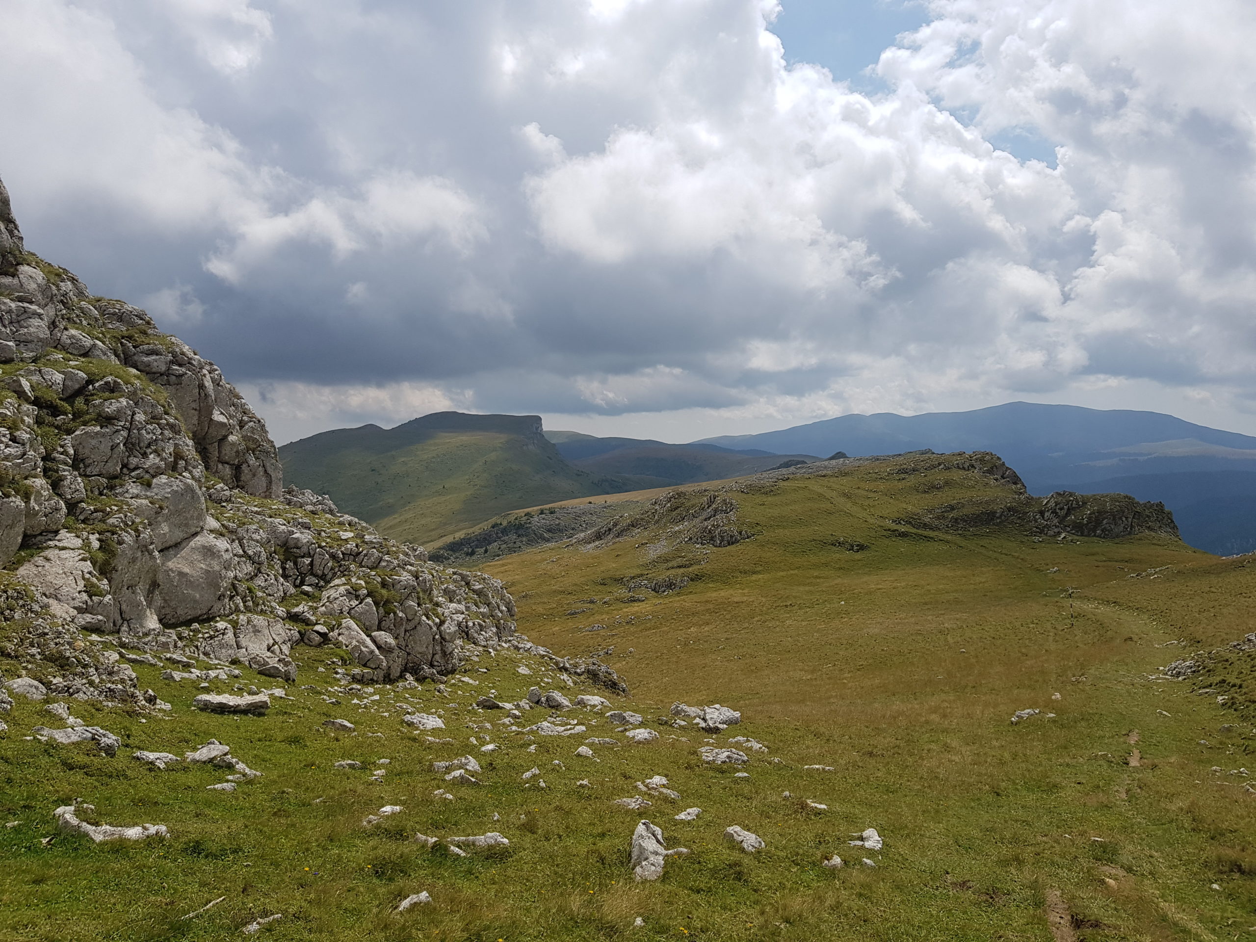
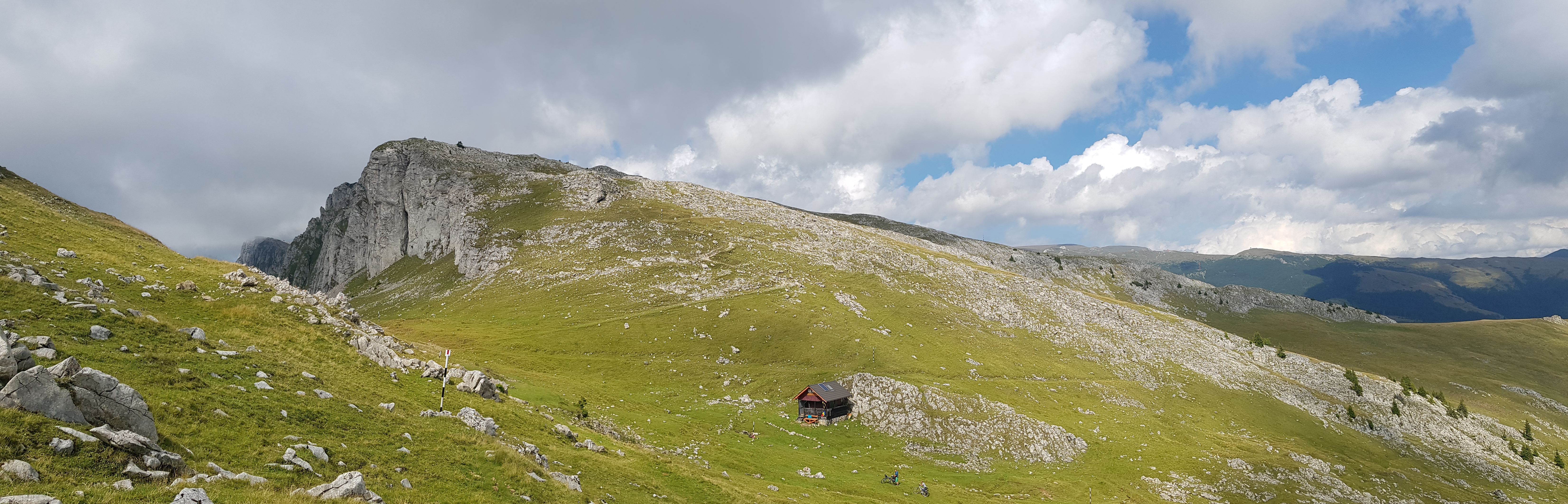
The peak of Penteleu (1772) is a real landmark that can be seen from distance. For me this was the point where from I started walking westwards. The peak offered beautiful views on south-east Vrancea mountains but I did not wanted to stay long as the clouds were moving fast and I feared a thunderstorm might come.
The much advertised meteo station is just below the peak to the west. This one was in much better shape than the one I visited at Rețițiș peak in the Călimani mountains. I asked the officer if I can charge my devices during the lunch break and ended up in a kitchen boosting my lunch ratio with bread and cheese provided by the good man. Unfortunately I could not wait till my socks and shoes dried at a large ceramic stove and continued my journey.

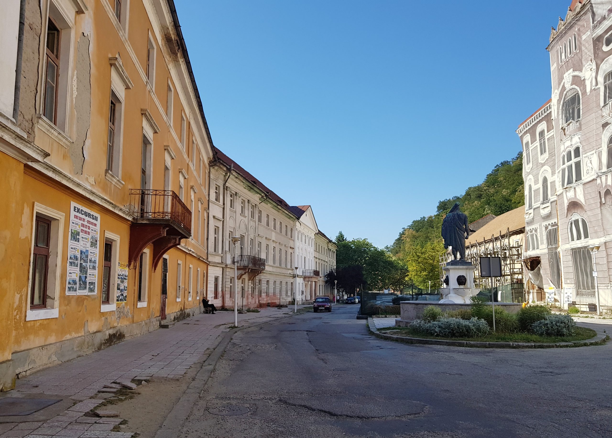
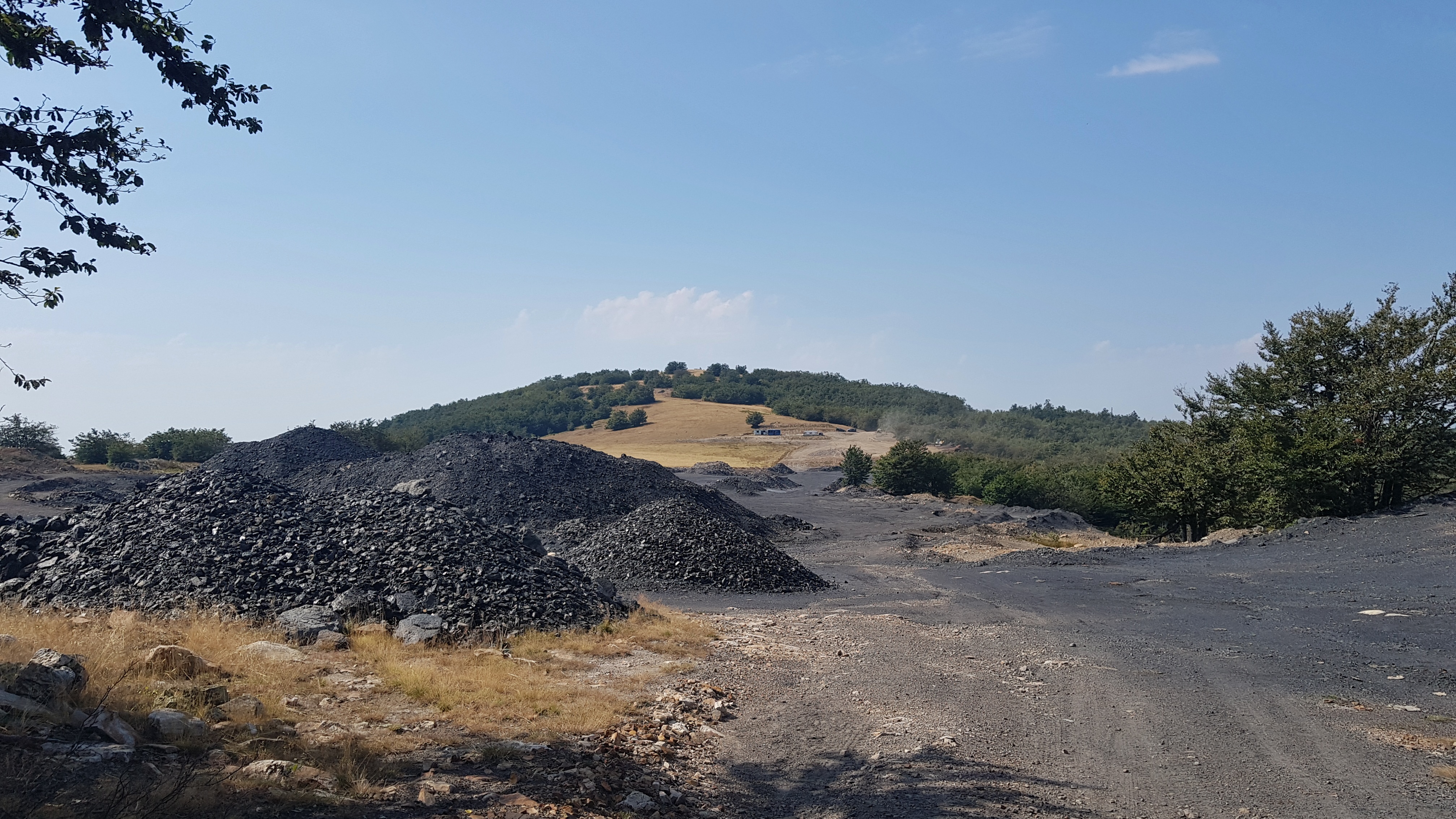
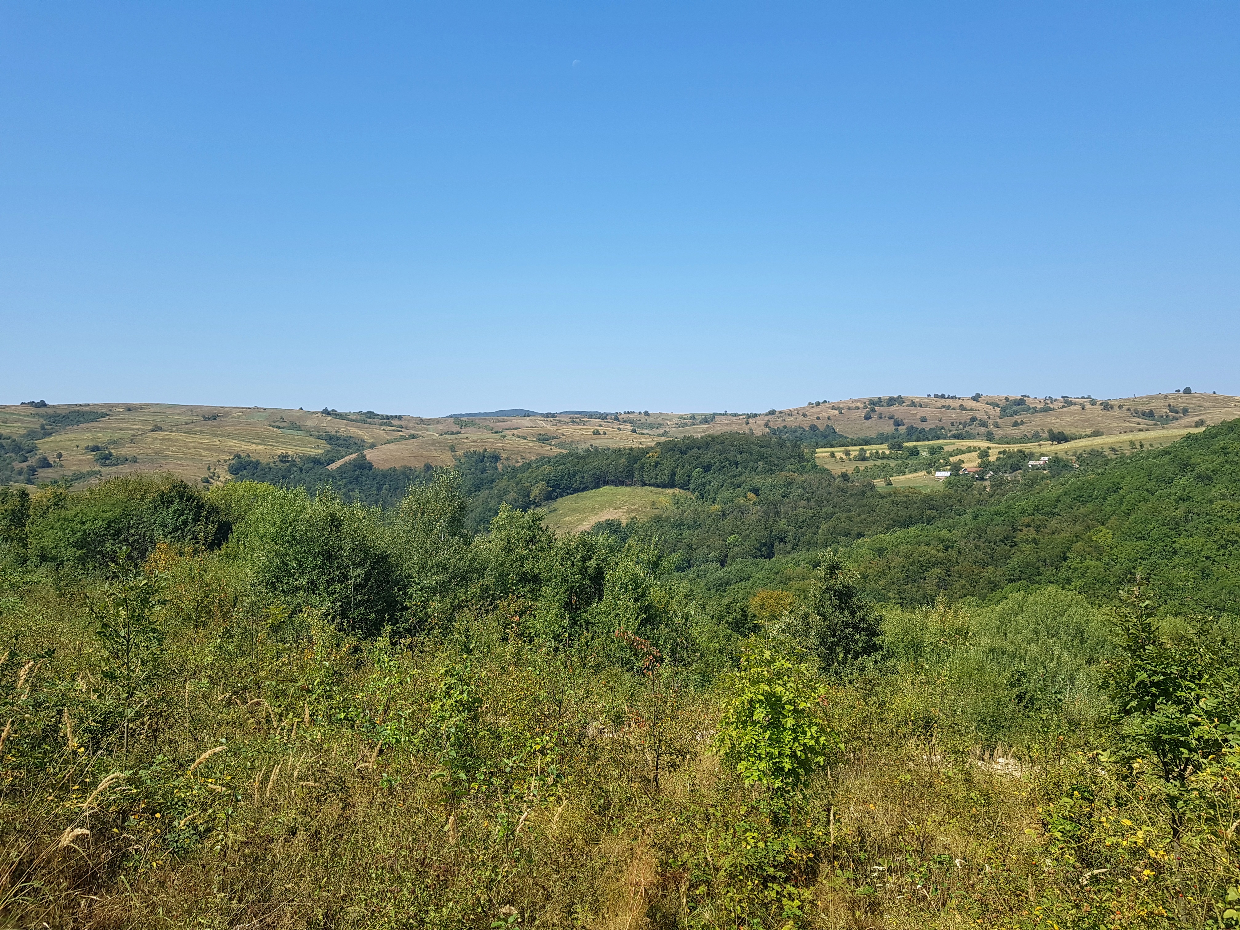
The trail from Penteleu was well marked so I went fast to the valley of river Basca Mare. I could imagine this turns into superb kayaking experience at higher water levels. From there I needed to cross Podu Calului mountains to the valley of Buzău river. It was a long walk on a gravel road used by logging trucks. I passed by some run-down mines and industrial structures reminding me of 1980s Romania.
I wanted to be in the Buzău valley for the night so I tried to walk fast but my mood was down. At that point I knew I could not finish the hike to the Danube in the given time, maybe if I hitch-hike from Petroşani to Baile Herculane. The road was dusty, only few cars passed by and I was listening to some existential music (for Czechs: Radúza, Plíhal, 80s Nohavica). I wished a truck or a car stops and picks me up but I did not wanted to hitch-hike and spoil my hiking effort.
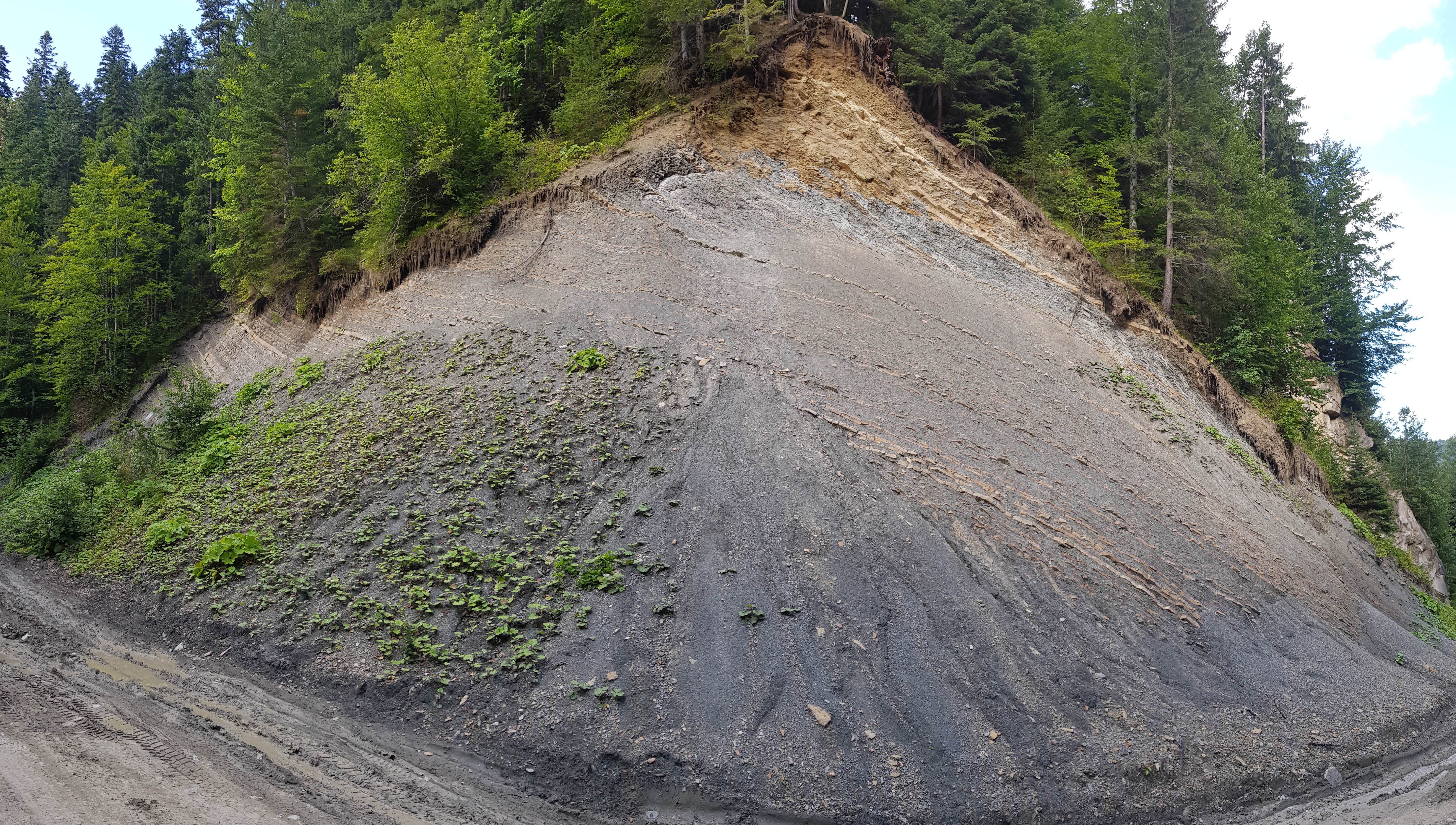
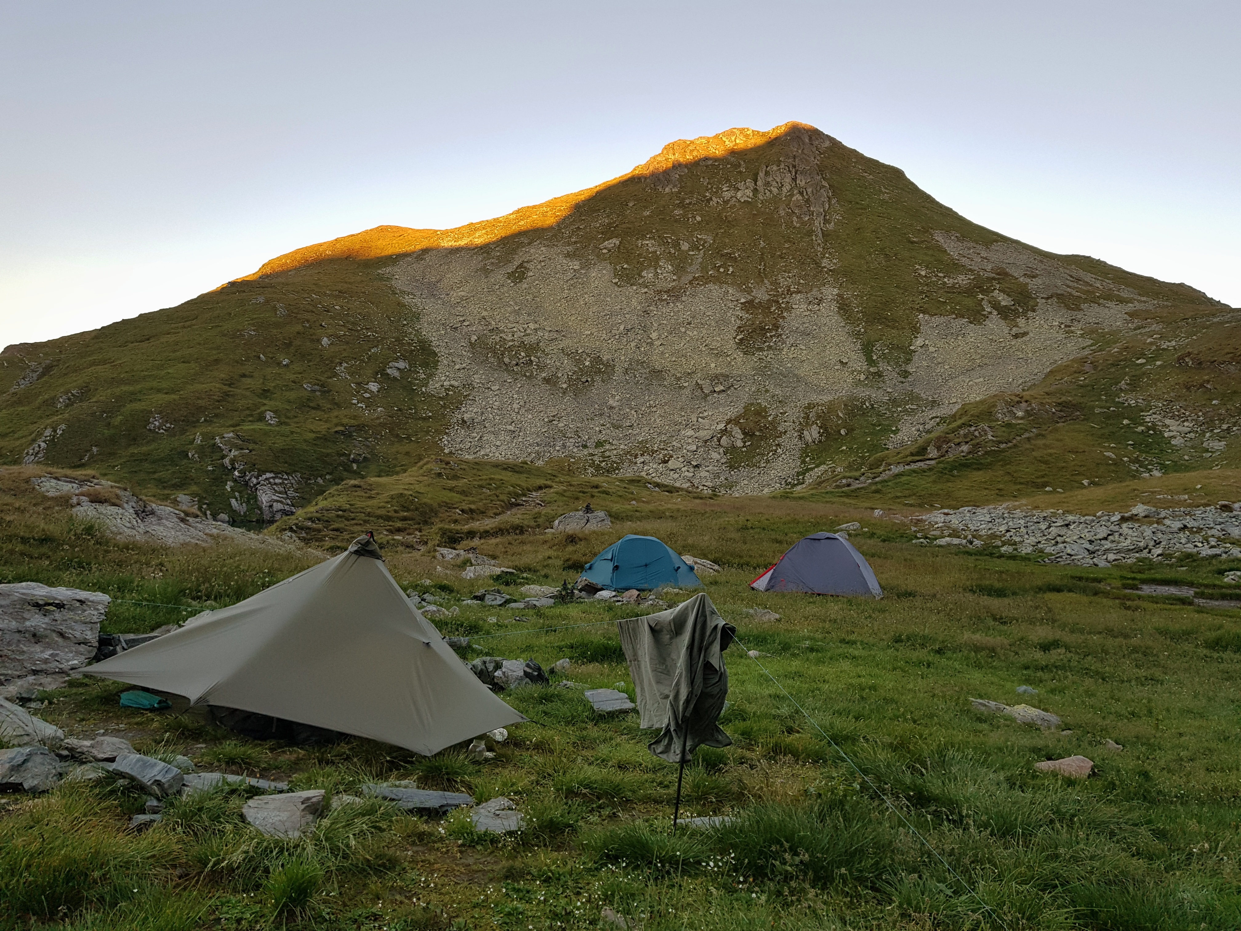
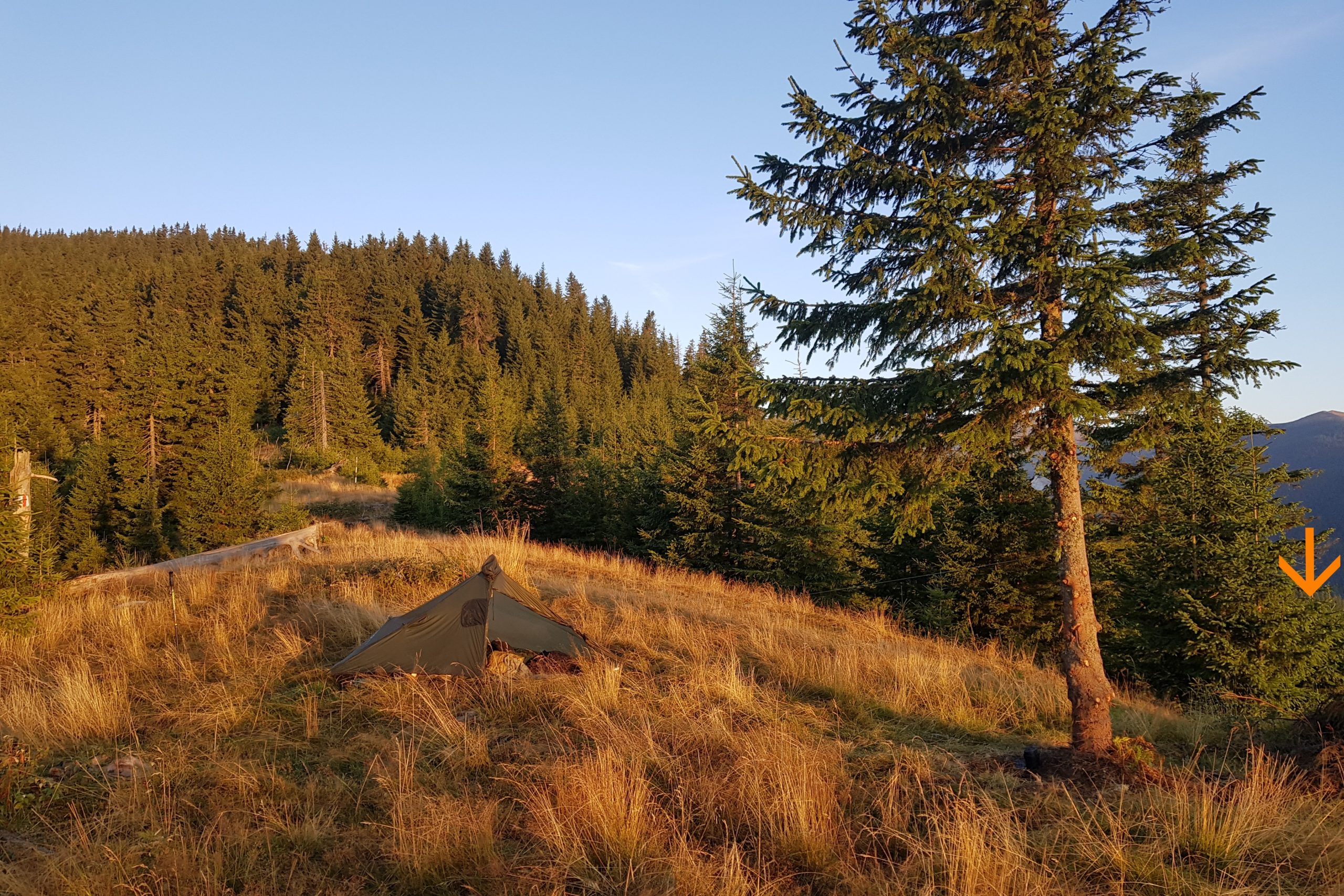
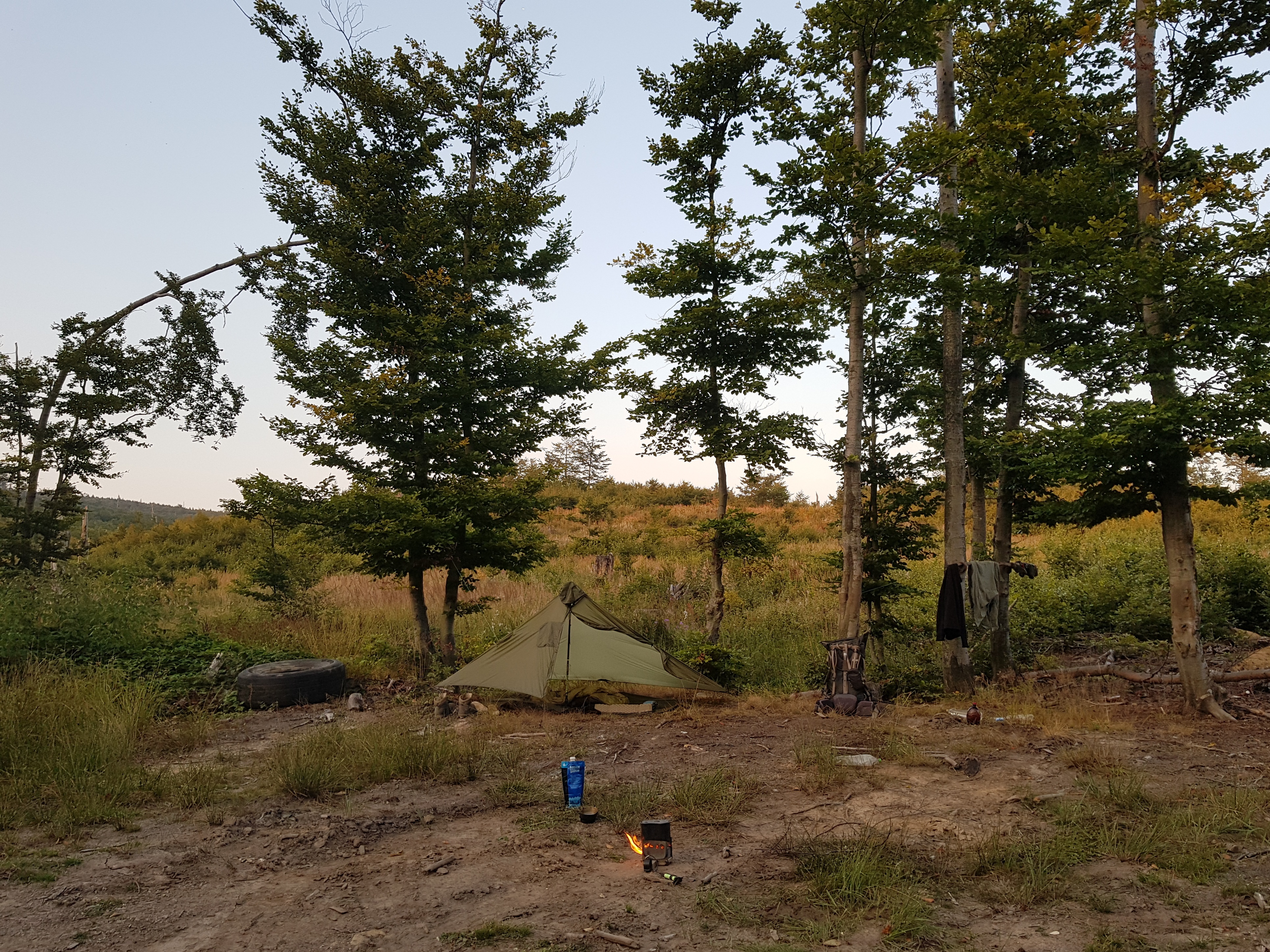
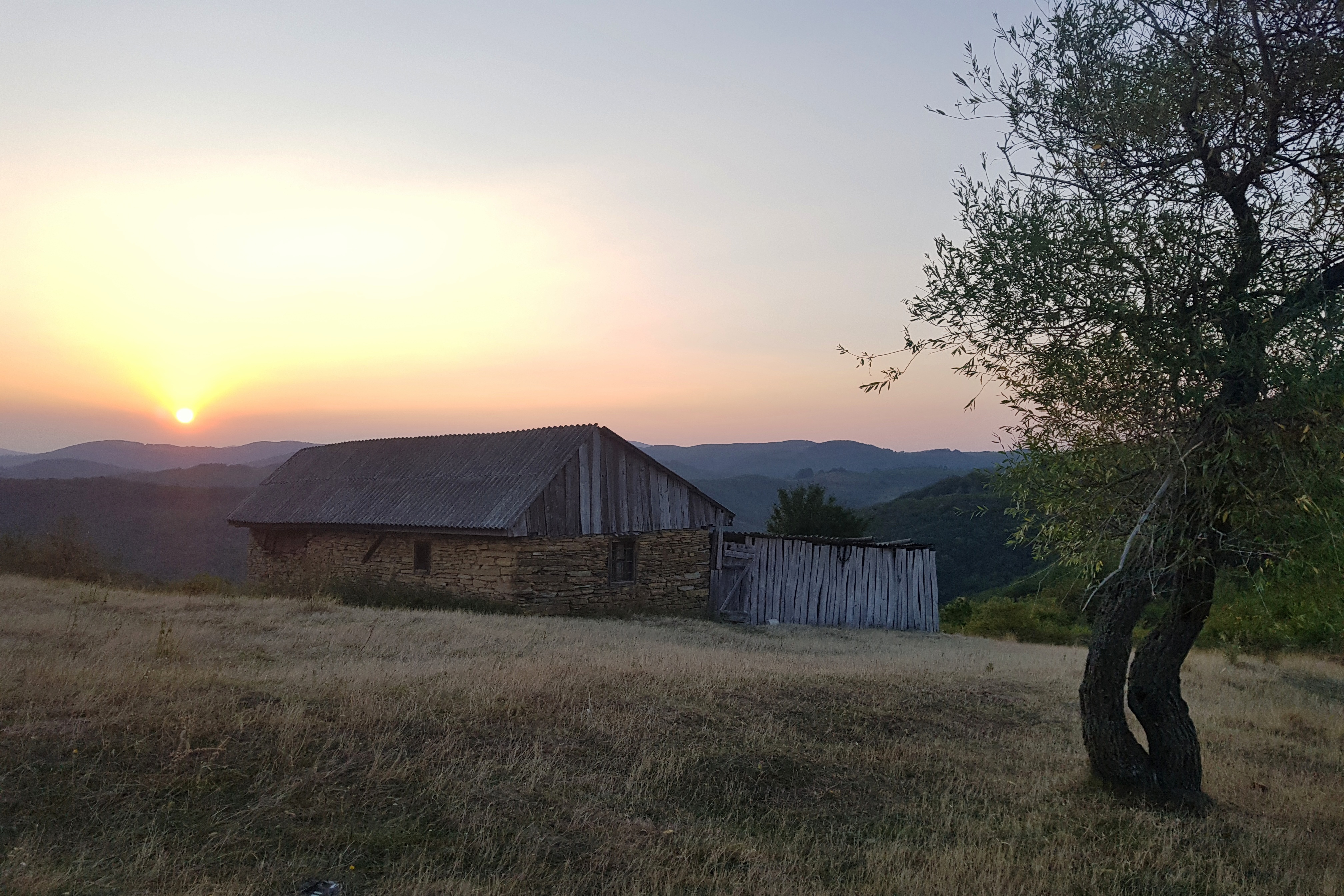
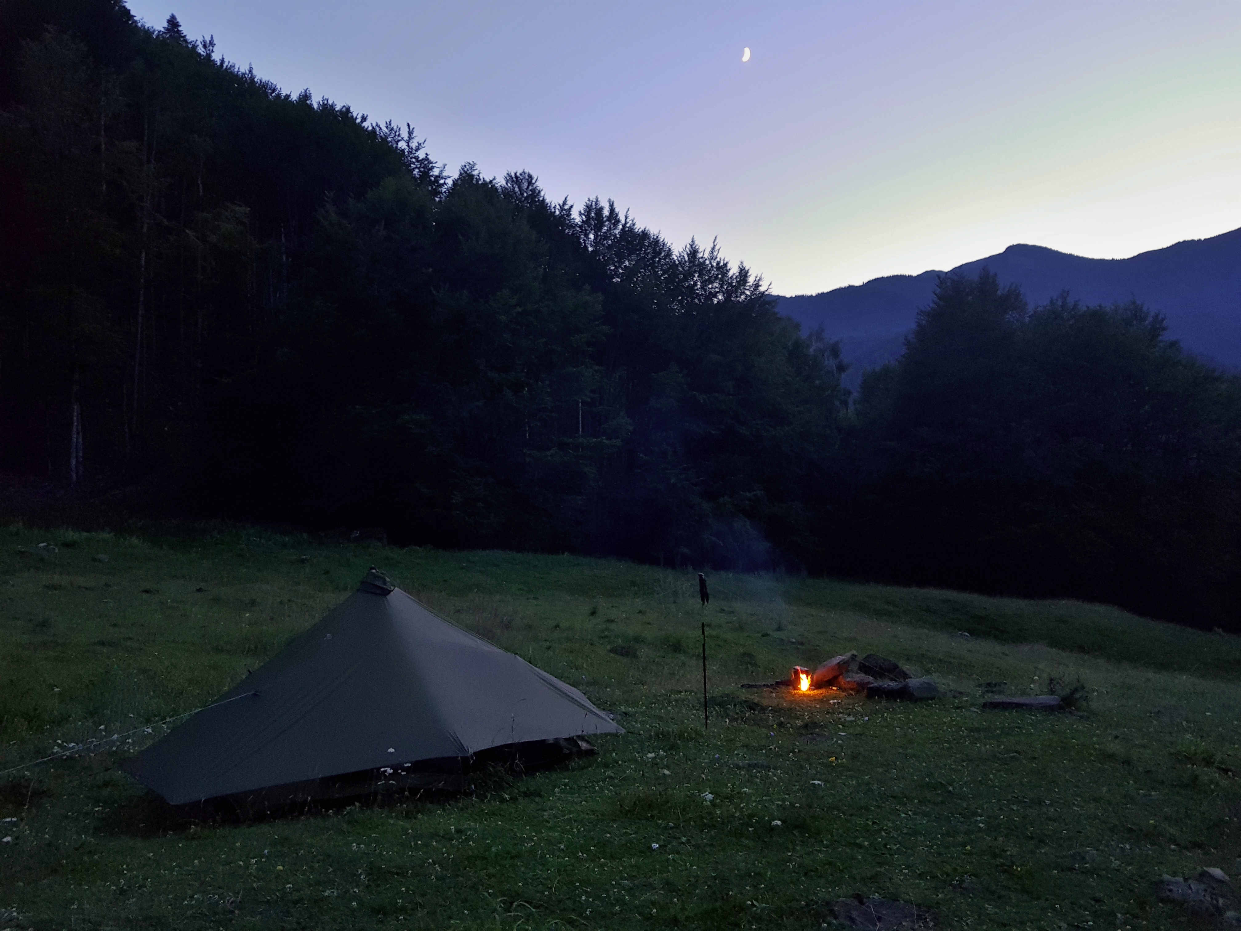
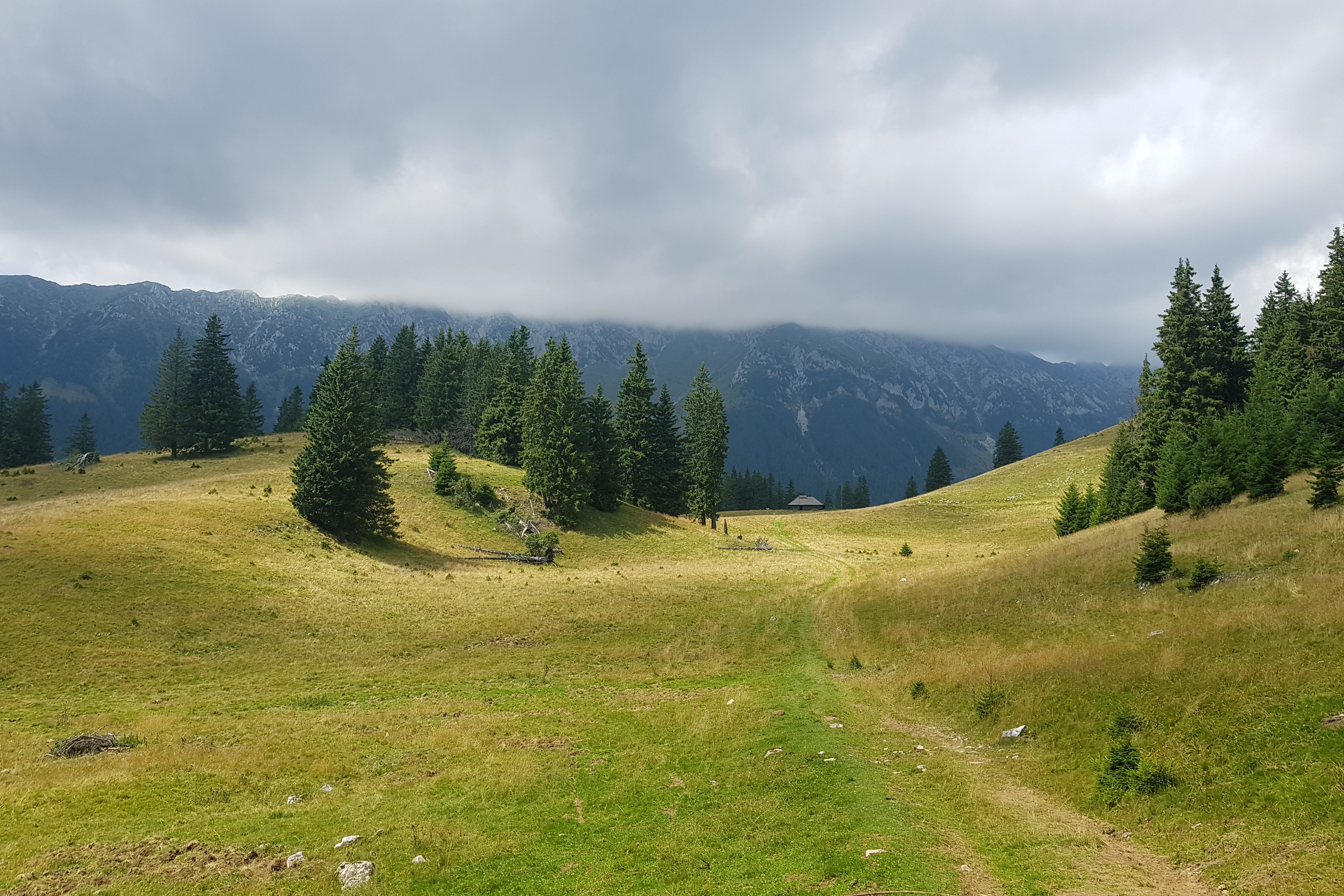
In the late afternoon I turned to the north from the road and started ascent some mountain range. A stream exposed layers of sediments while carving the valley. The trail marking disappeared somewhere in the dense forest so I rather followed a forest road and after climbing up to a poiana I made wild descend towards Buzău valley whilst it was getting dark. Fortunately I came to a forest road and found great camping spot a mile from the valley.
A screaming tourist
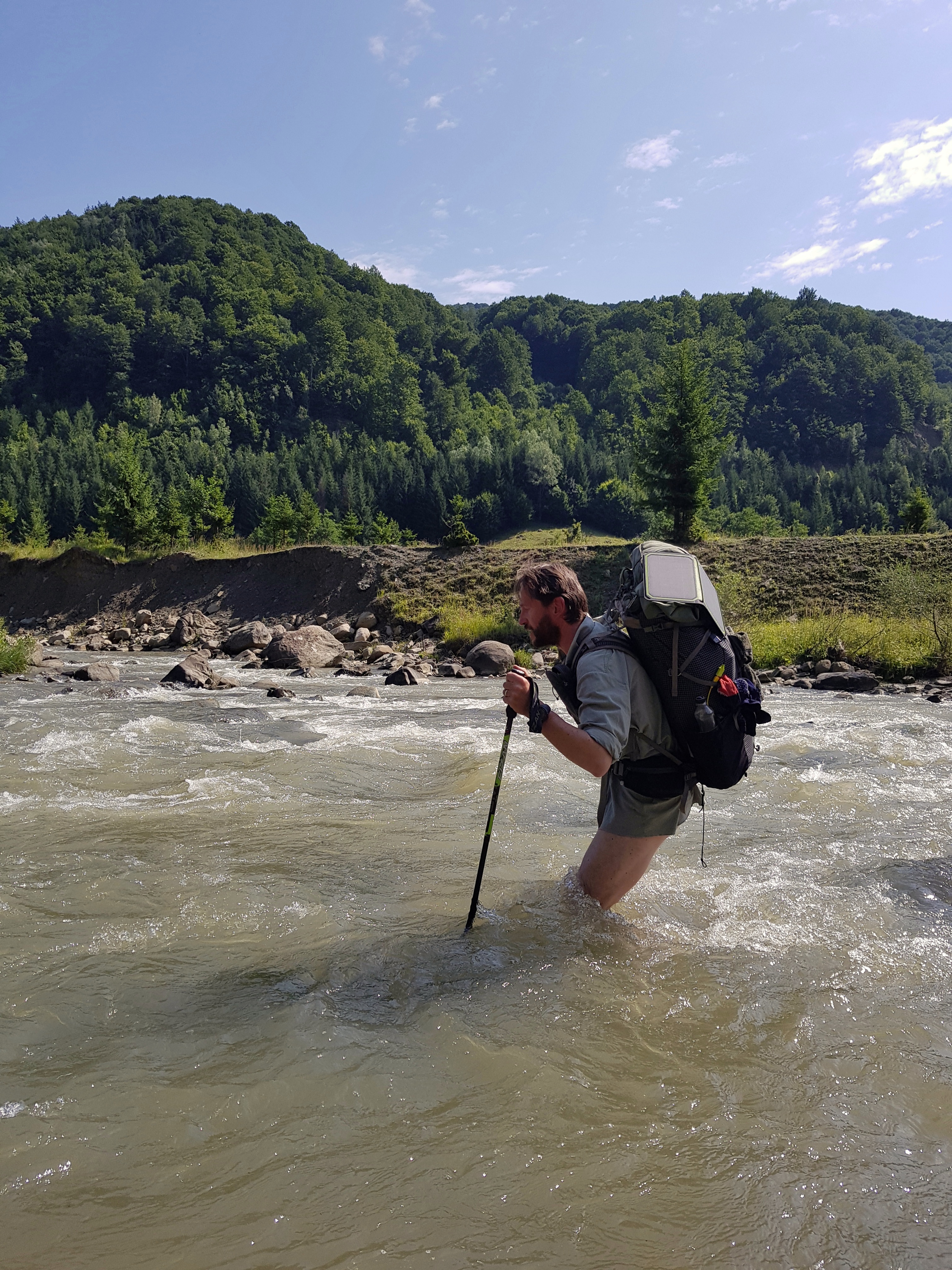
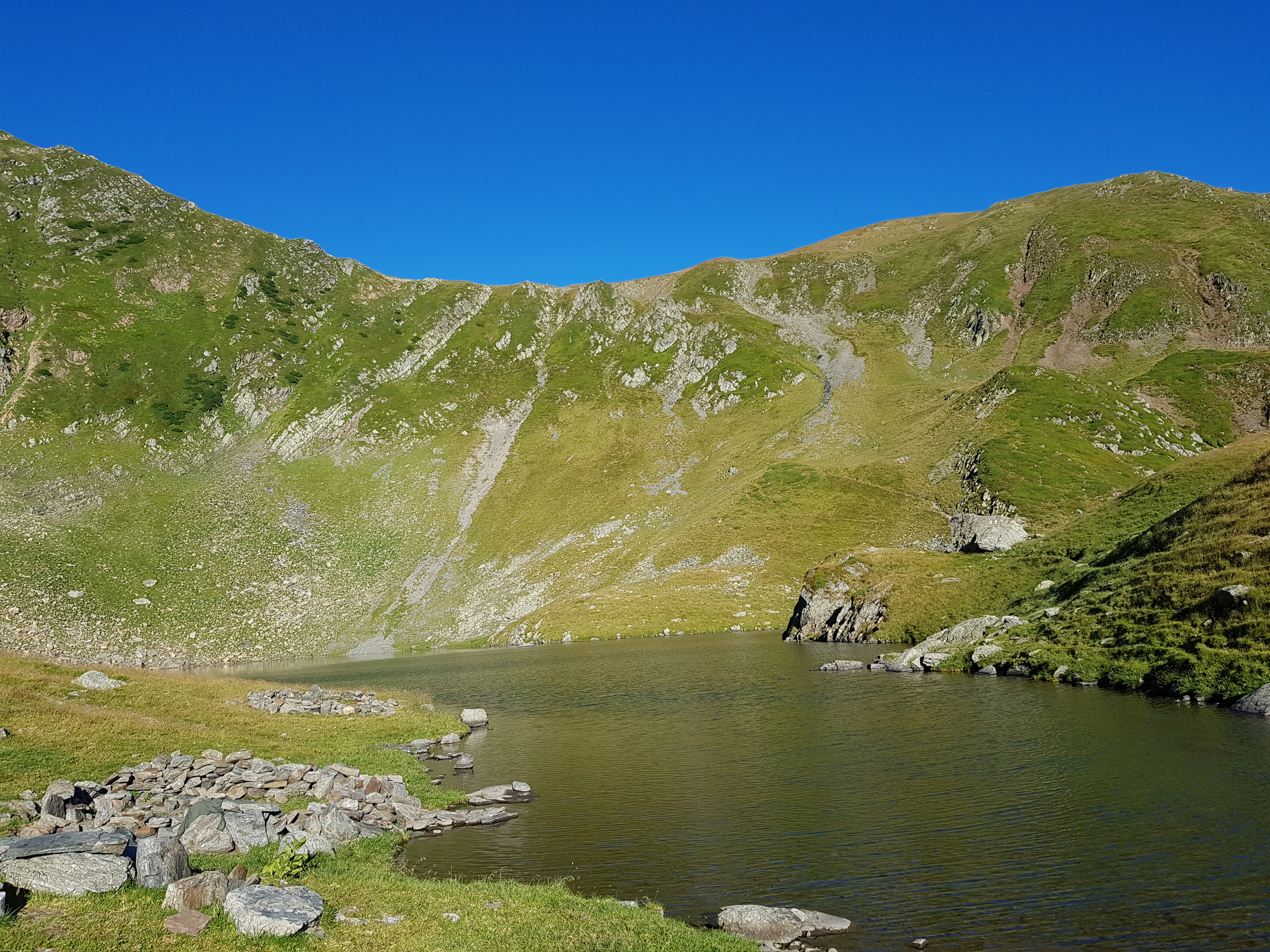
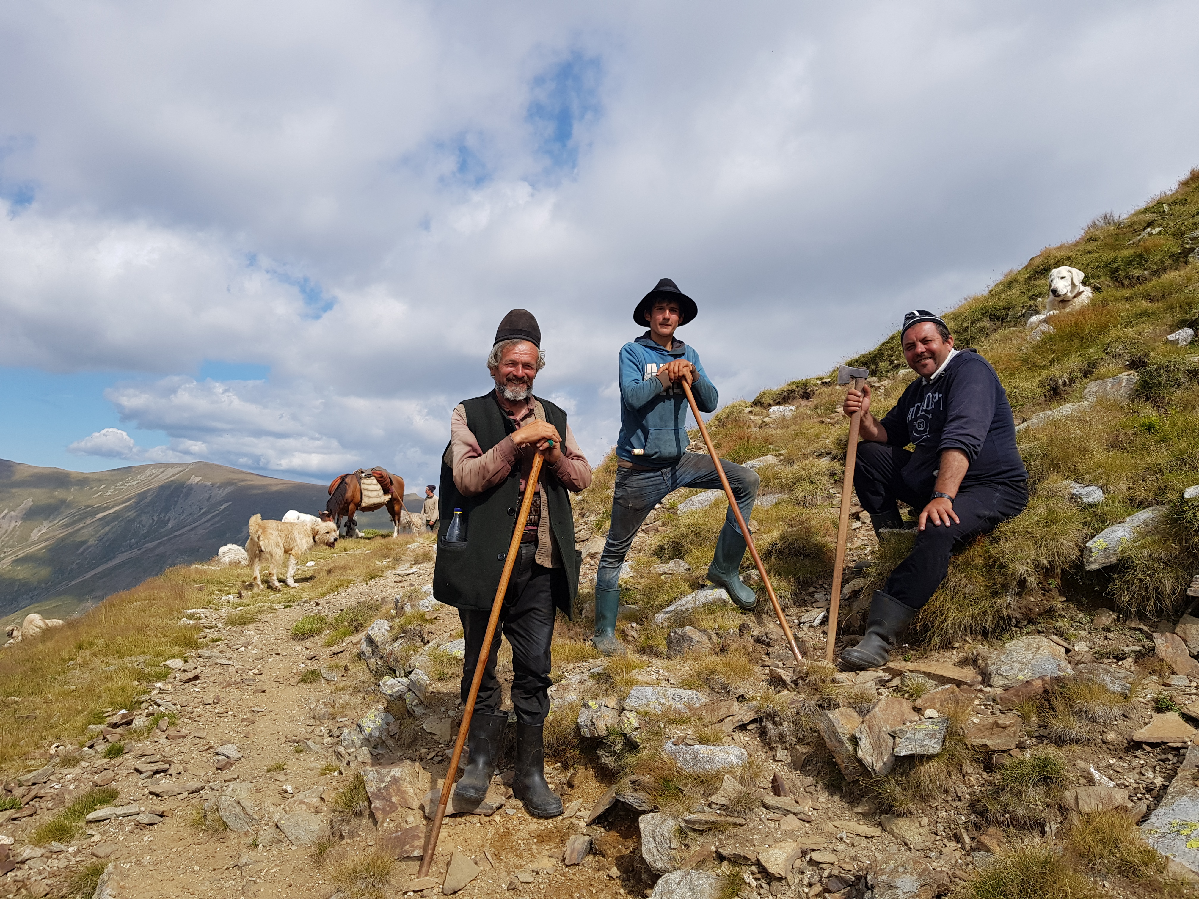
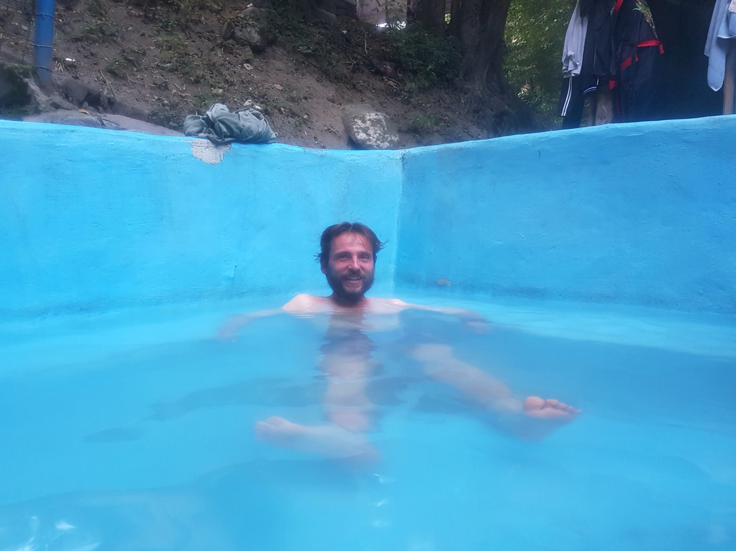
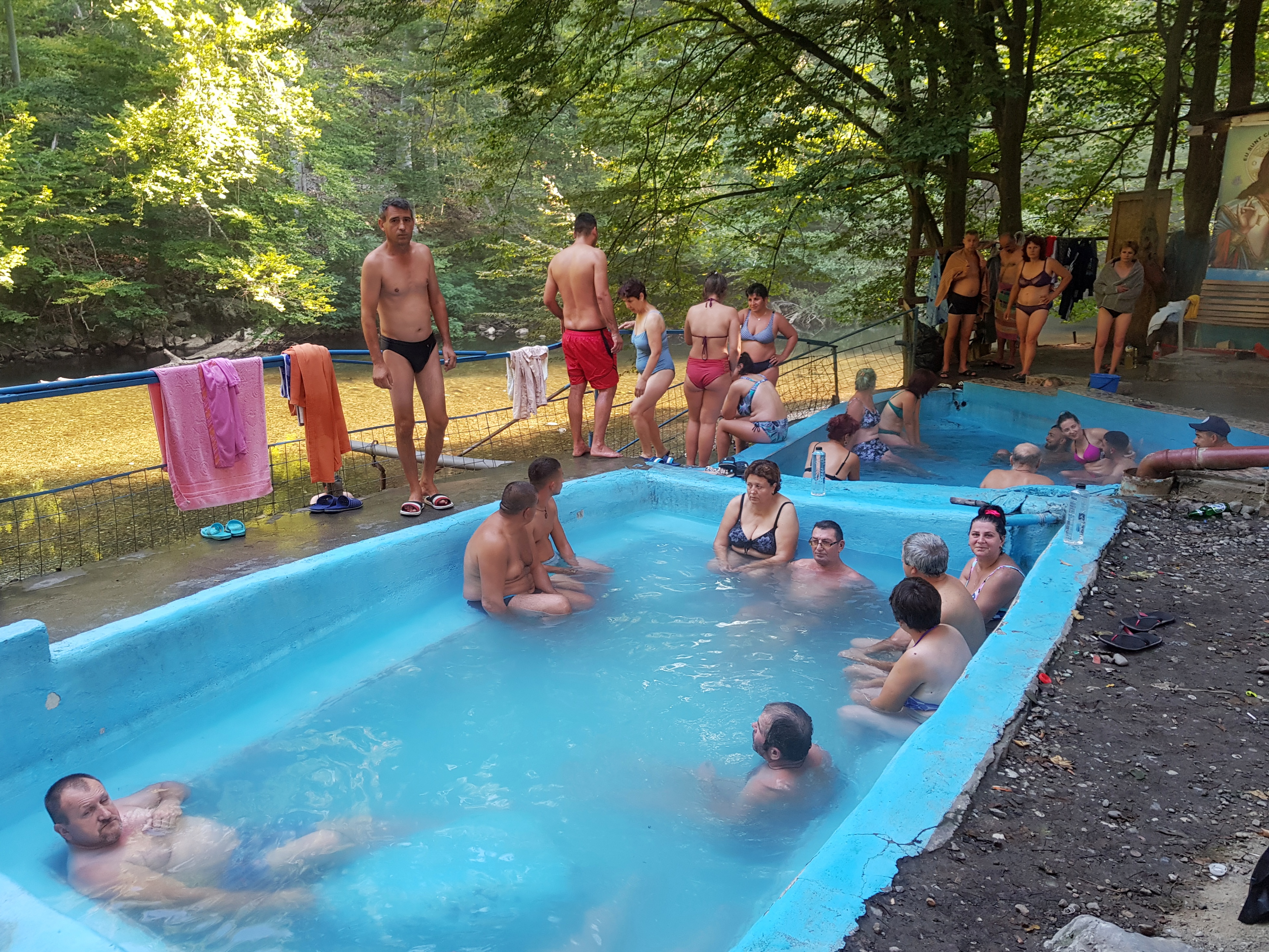
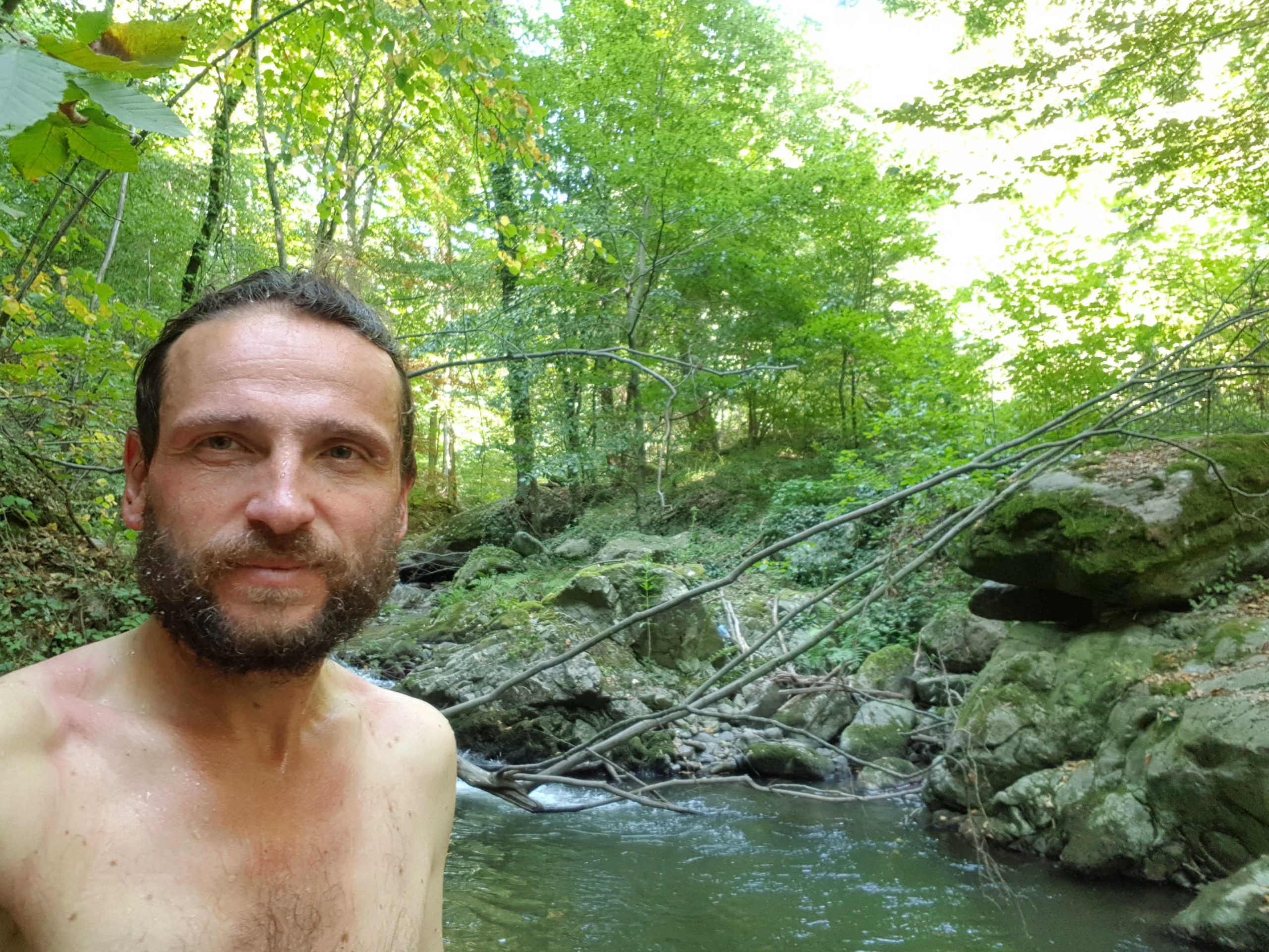
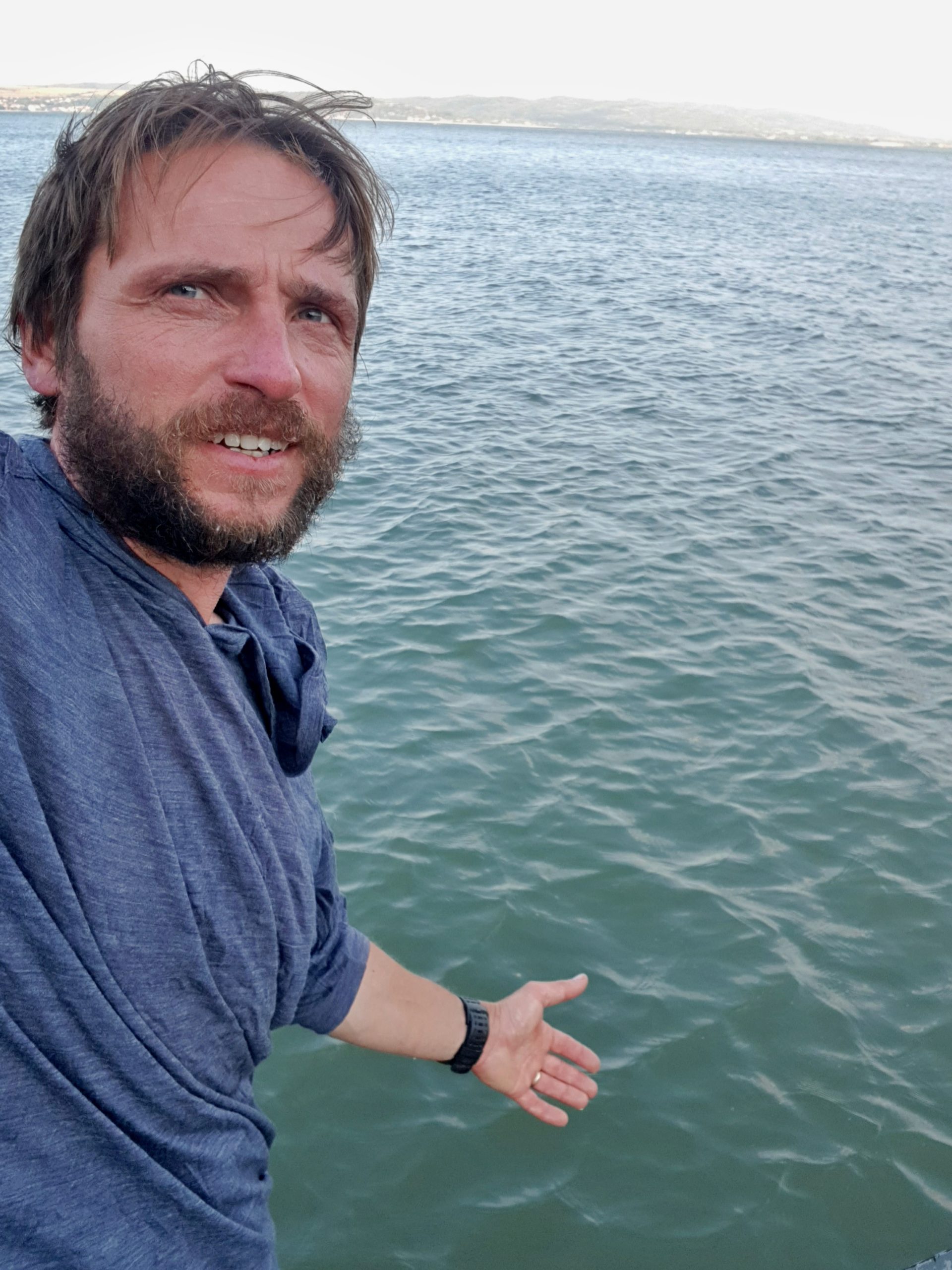
Great advantage of my camping spot was a stream few meters away so I used this opportunity to have hot shower and make laundry in the morning of Tuesday 6th August. It was a good decision not to go the the Buzau river valley as there was a settlement with wild dogs and the valley was quite busy. Soon I learned why the tourist trail goes a mile to the south. Crossing to the settlement was a ford that seemed too deep to me so I rather found a place further upstream where I crossed the river. The stream was strong and at some points water reached my belly.
I continued on a marked trail to Siriu mountains. The ascent of 900 metres was quite steep and I soon met the first tourists on a day-hike. Actually the first tourists I had met in 10 days! A man was about 30 meters ahead of a lady behind a curve of a forest road when I greeted her “Buna ziua” (Good morning) from about 15 meters behind. Before continuing the story I must admit I had learned to walk very silently while passing shepherds’ houses. She yelled then turned towards me and screamed for about 30 seconds her arms stretched. The man ran to calm her down. I felt embarrassed, apologized and continued walking wondering if my appearance is really so bad that I scare people.
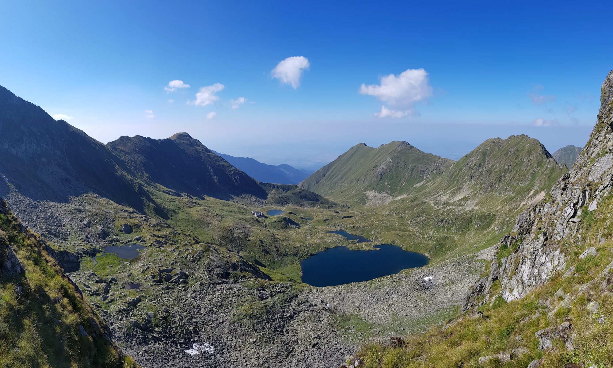
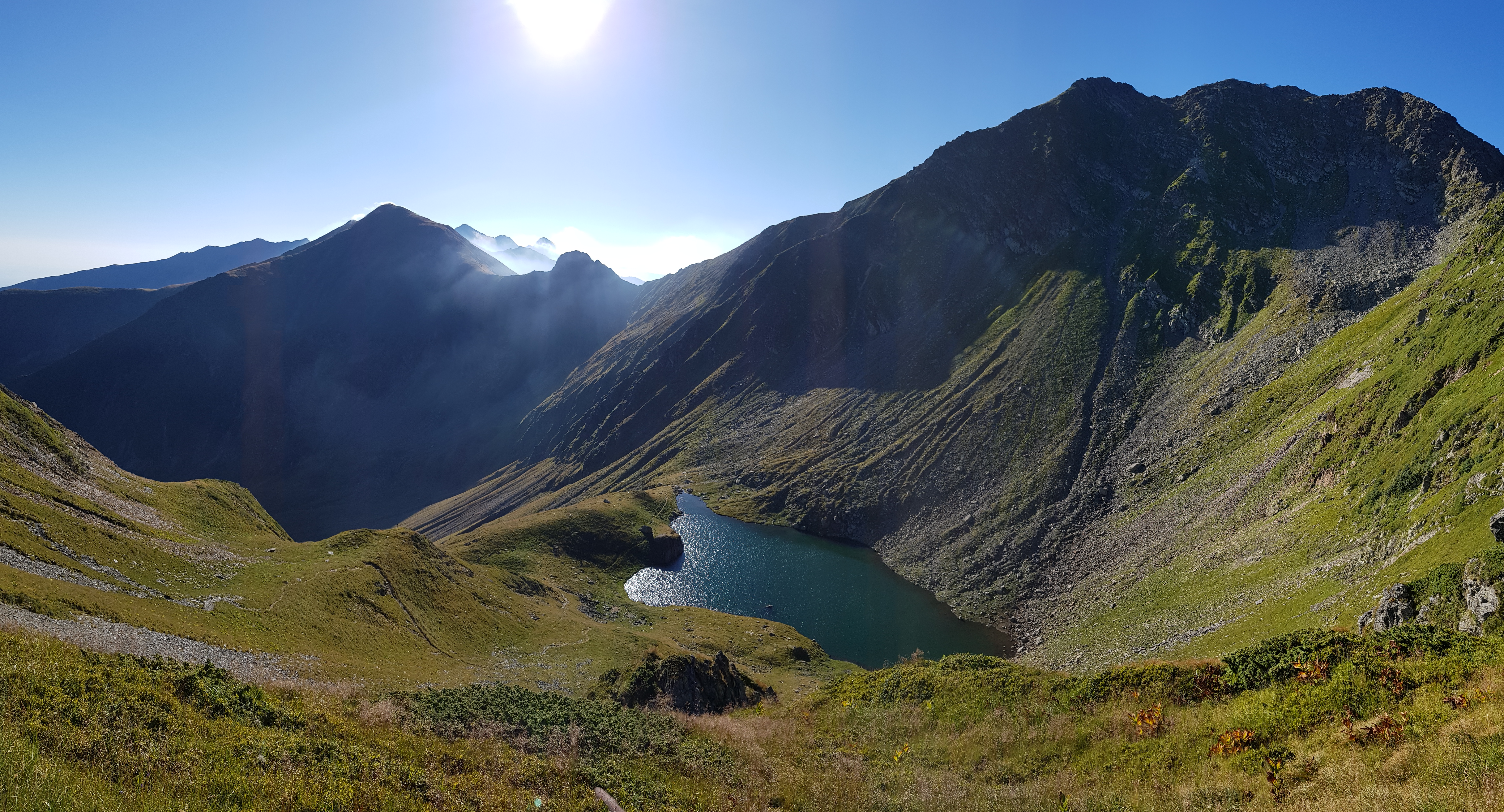
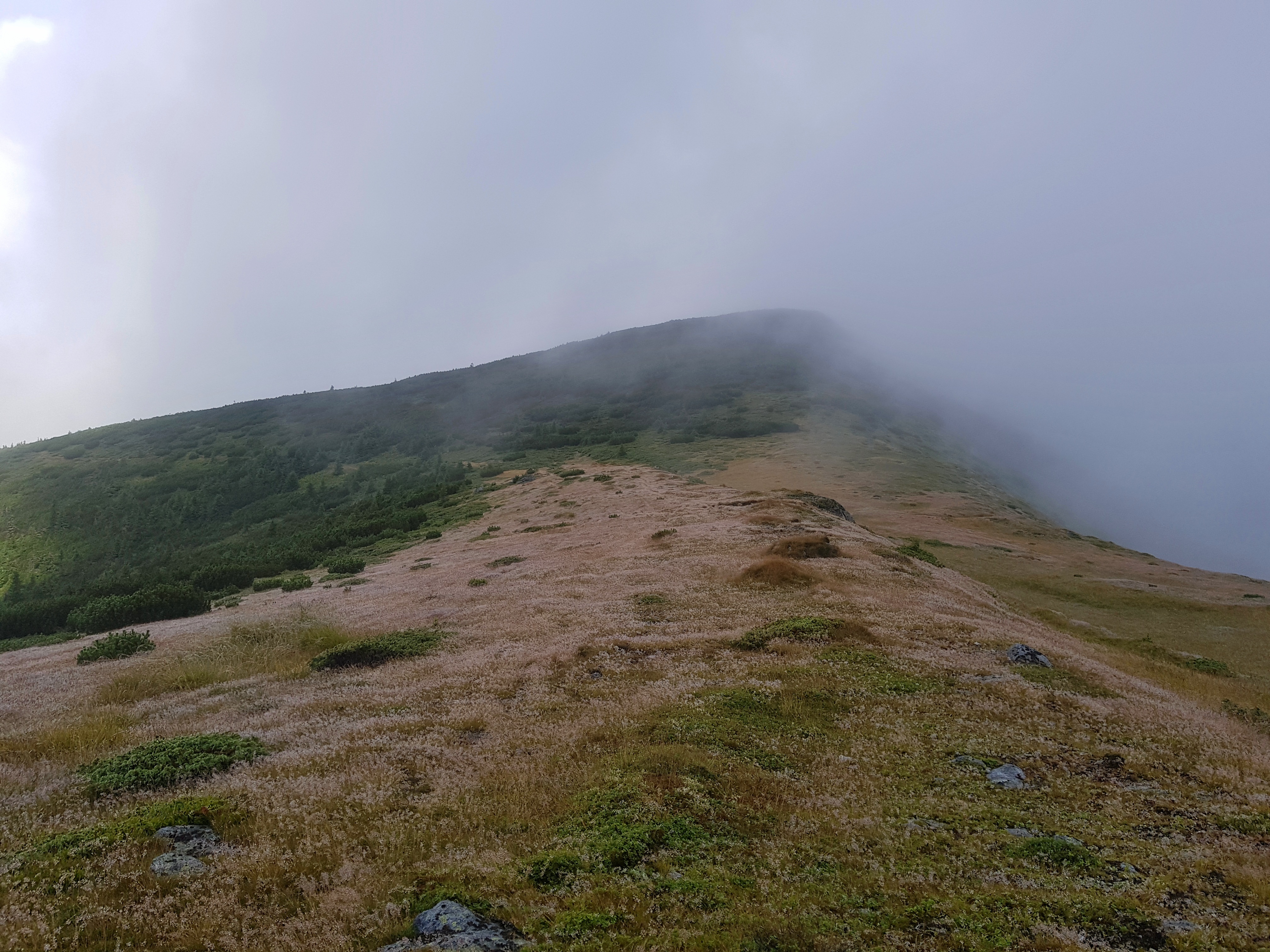
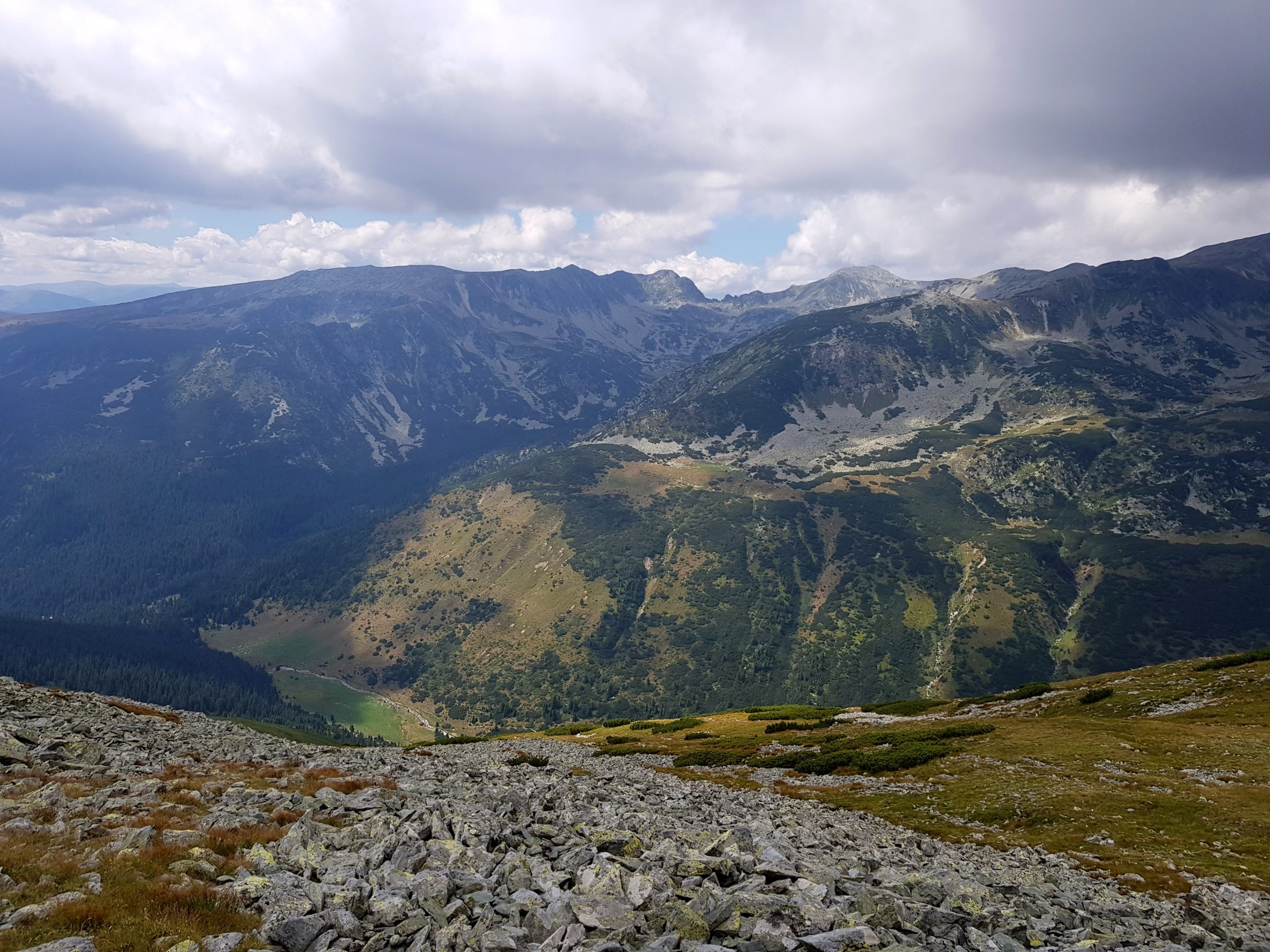
Up under the Siriu peak I entered a different world. There were tourists (making one-day tour to the Siriu lake), grazed grass and the mountains looked great in the sunshine. After losing the trail for a while I continued to Munții Tătarului.
I walked fast through the grassy mountains with easily recognizable trail. This was completely different experience from those of previous days. I soon learned it was the Romanian national day as there were many people coming to the mountains to picnic. One family watched my fight with about 10 dogs while grilling. This was an interesting fight because I met the shepherd 80 meters from dogs and he told me “the dogs are wild” and went his way. So what? Shall I wait for him to return or change my way or wait for the dogs to leave? This was a close range fight but I learned a new trick. I took a big stone to my hand and shouted a nasty Czech word and all the wild dogs calmed down in a second. I spent some time wondering what could work well in the fights with dogs and came out with the idea of fireballs.

Late afternoon I started ascending Ciucaş. I felt my energy reserves were empty. I wanted to make it to the mountain hotel under the most visited part of Ciucaş, fill my stomach and hopefully laundry the rest of my gear, not just socks and the shirt I made in the morning. I was stopping frequently to make photos of beautiful vistas that opened behind every curve.
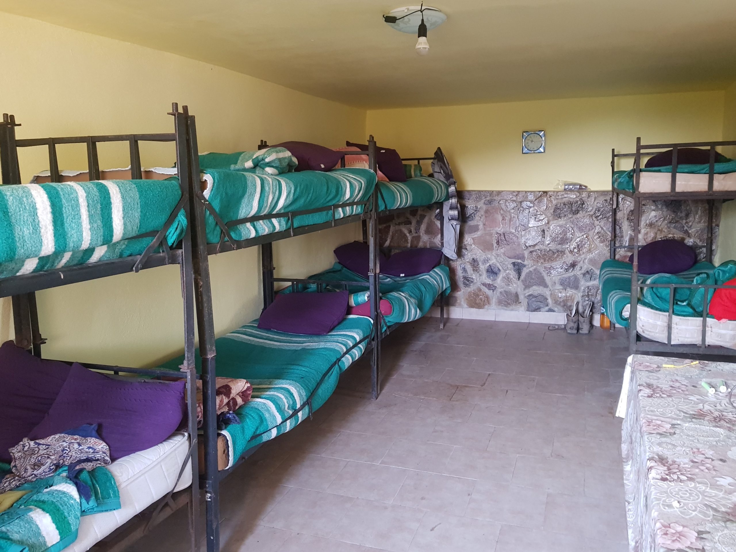
I was not sure if the tourist marking seems funny to me because I am missing blood sugar or it really seems more like an exercise in physics. Counting every meter, I finally made it to the hotel exhausted. I ordered a meal of 4 courses and drank 3 cokes. Although they had no vacancy, they showed me an empty dining room where I could stay in a sleeping bag. I was also promised they made the laundry but later at night I was told that “it is not possible to make laundry on the national day.” So I went to the sleeping bag a bit disappointed as this meant I would need to start later tomorrow waiting for my garments, however generosity of the staff was remarkable.
Long walk through Grohotiş
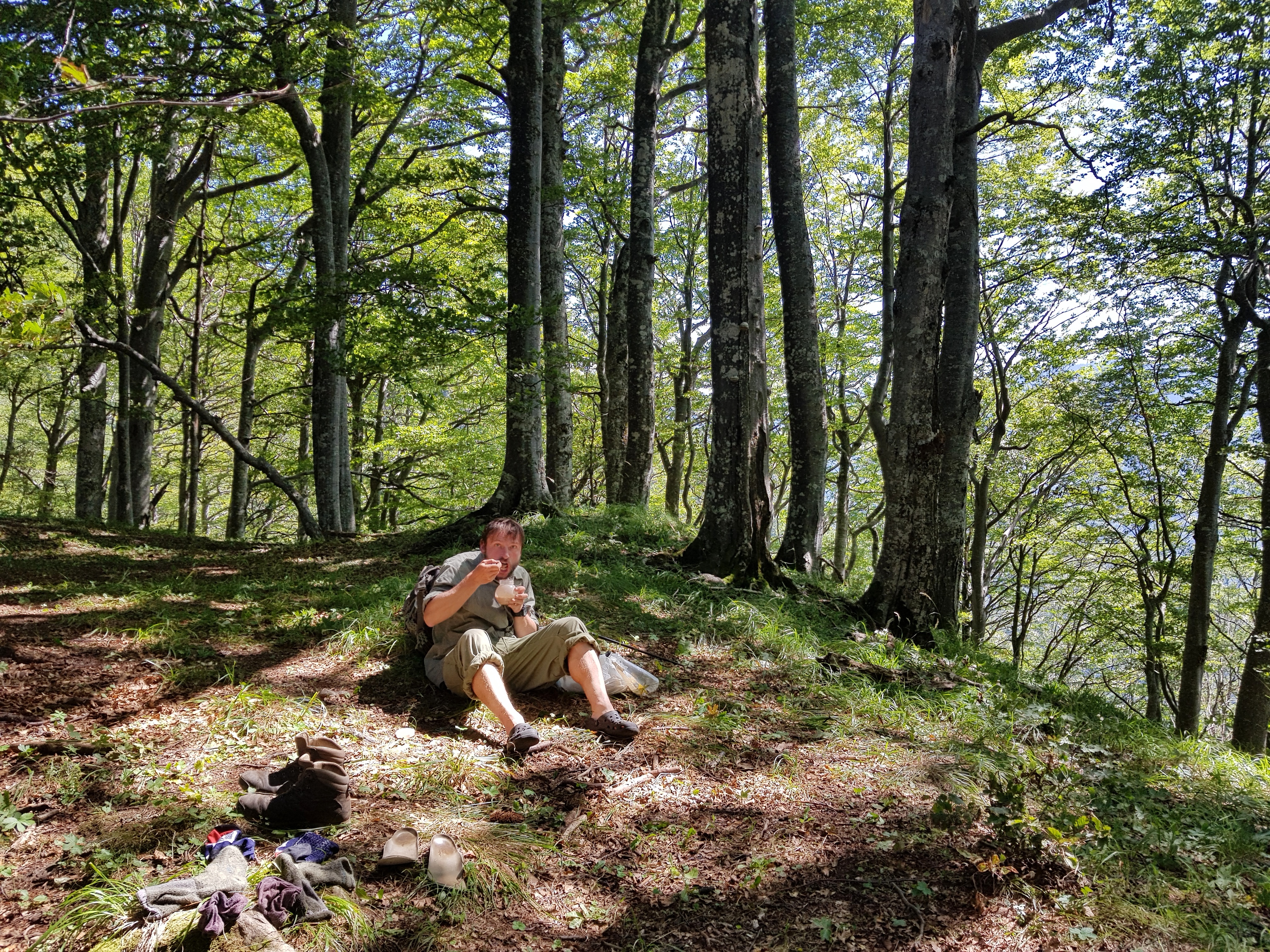
I did not hurry on Wednesday 7th August since the breakfast was served from 8 am and I needed to wait for the laundry anyway. At 7:30 am an older lady came to my room with all my stuff washed, dried and probably even ironed. I could not comprehend how she made it and it was difficult to keep control of my emotions: not to hug and kiss her.
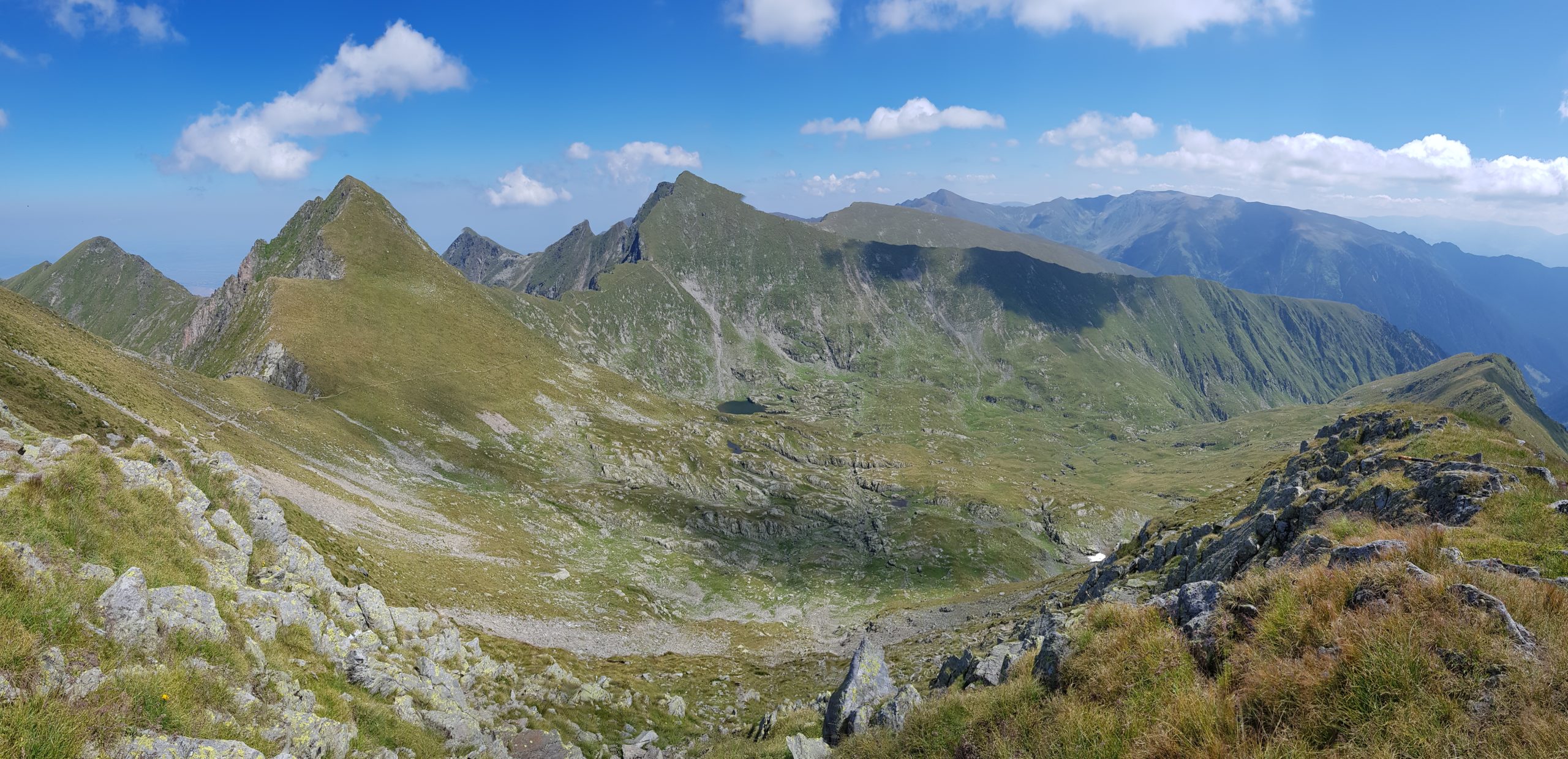
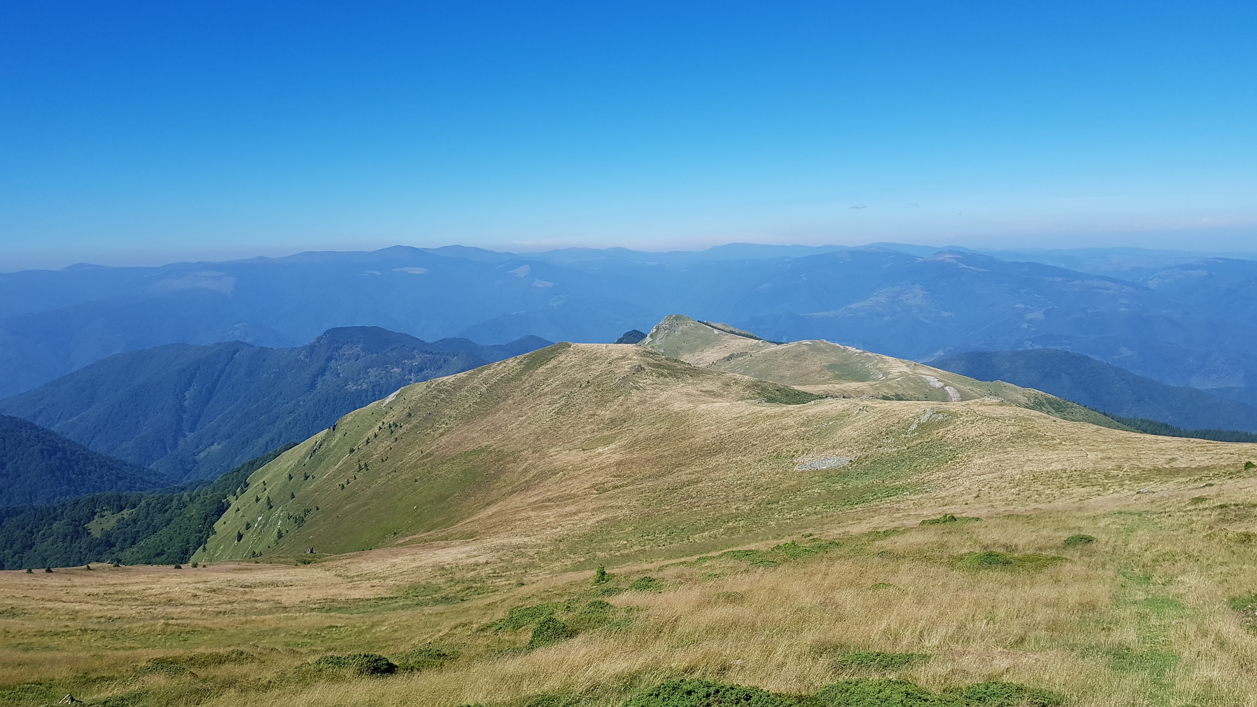
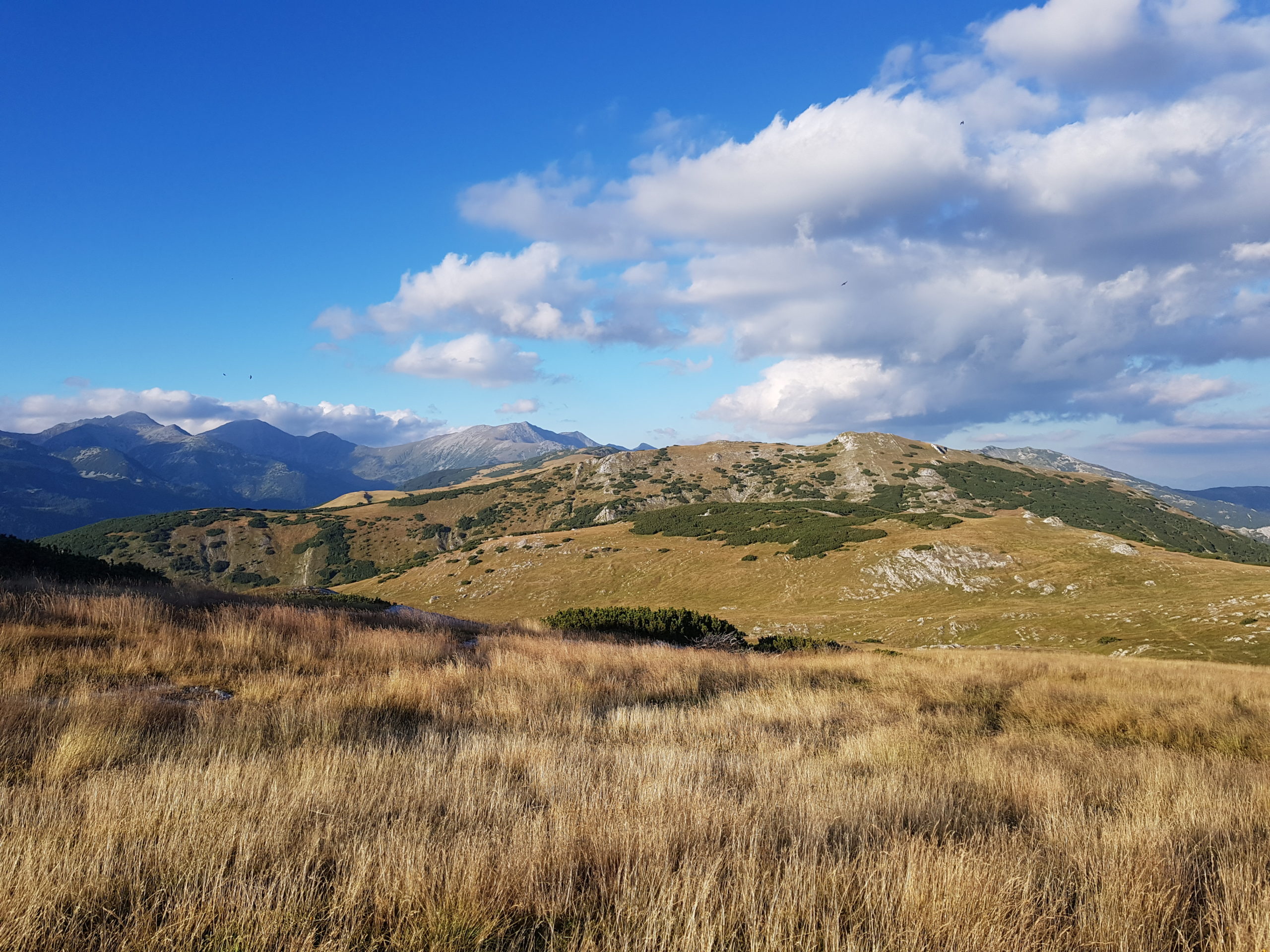
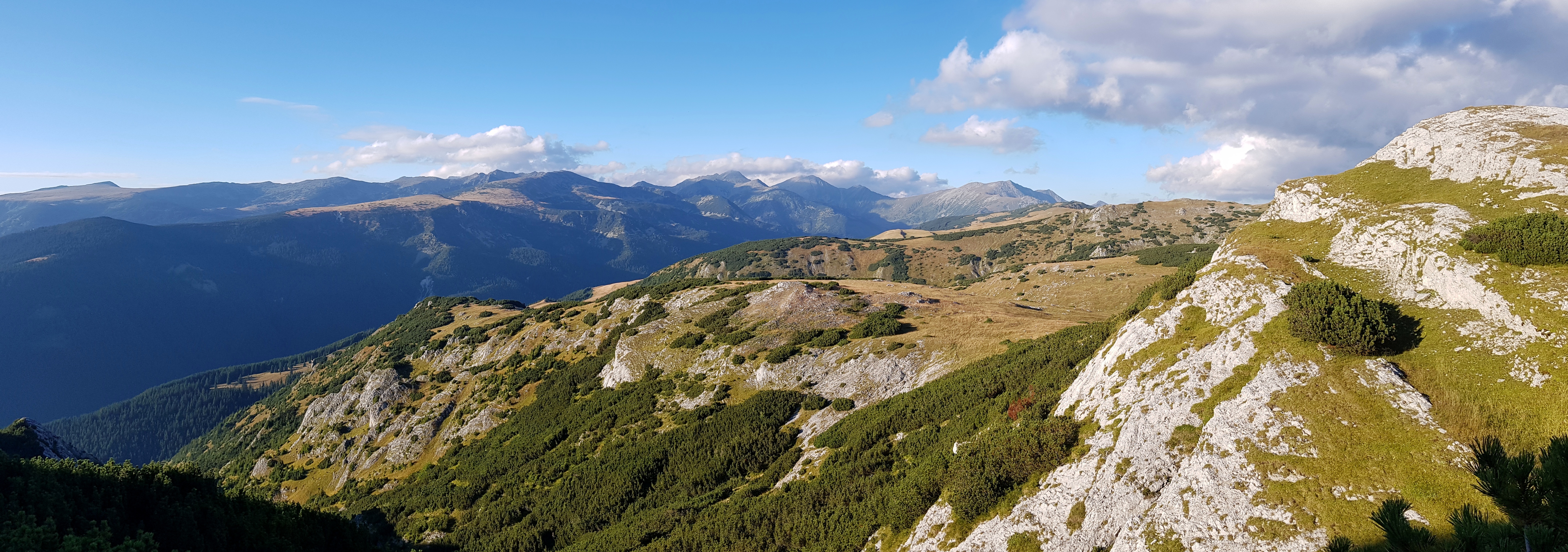
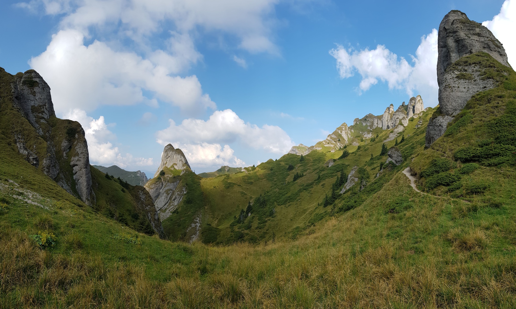
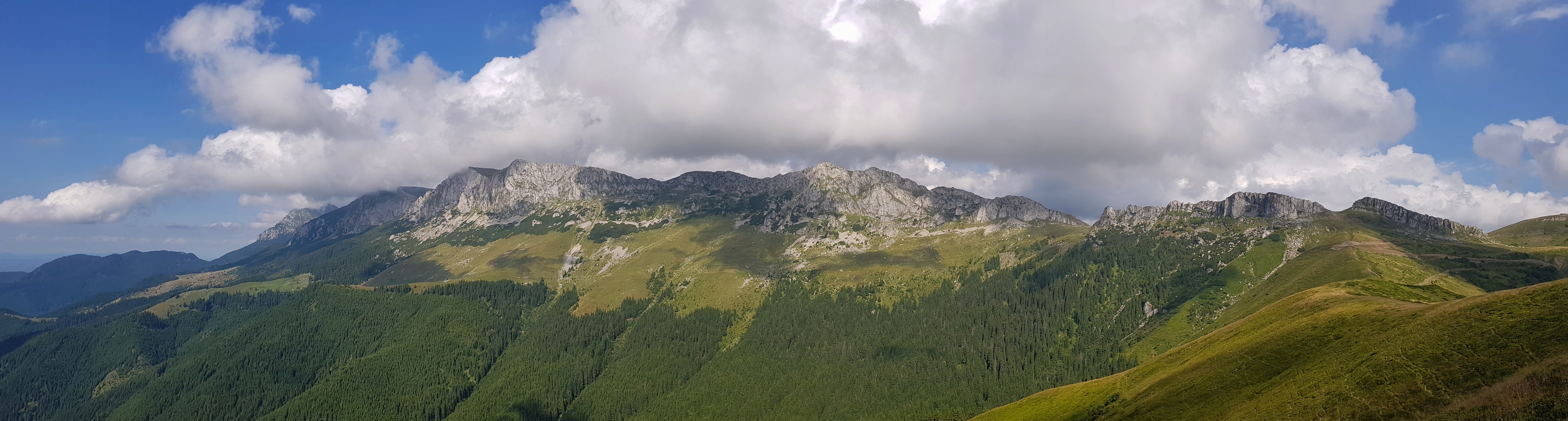
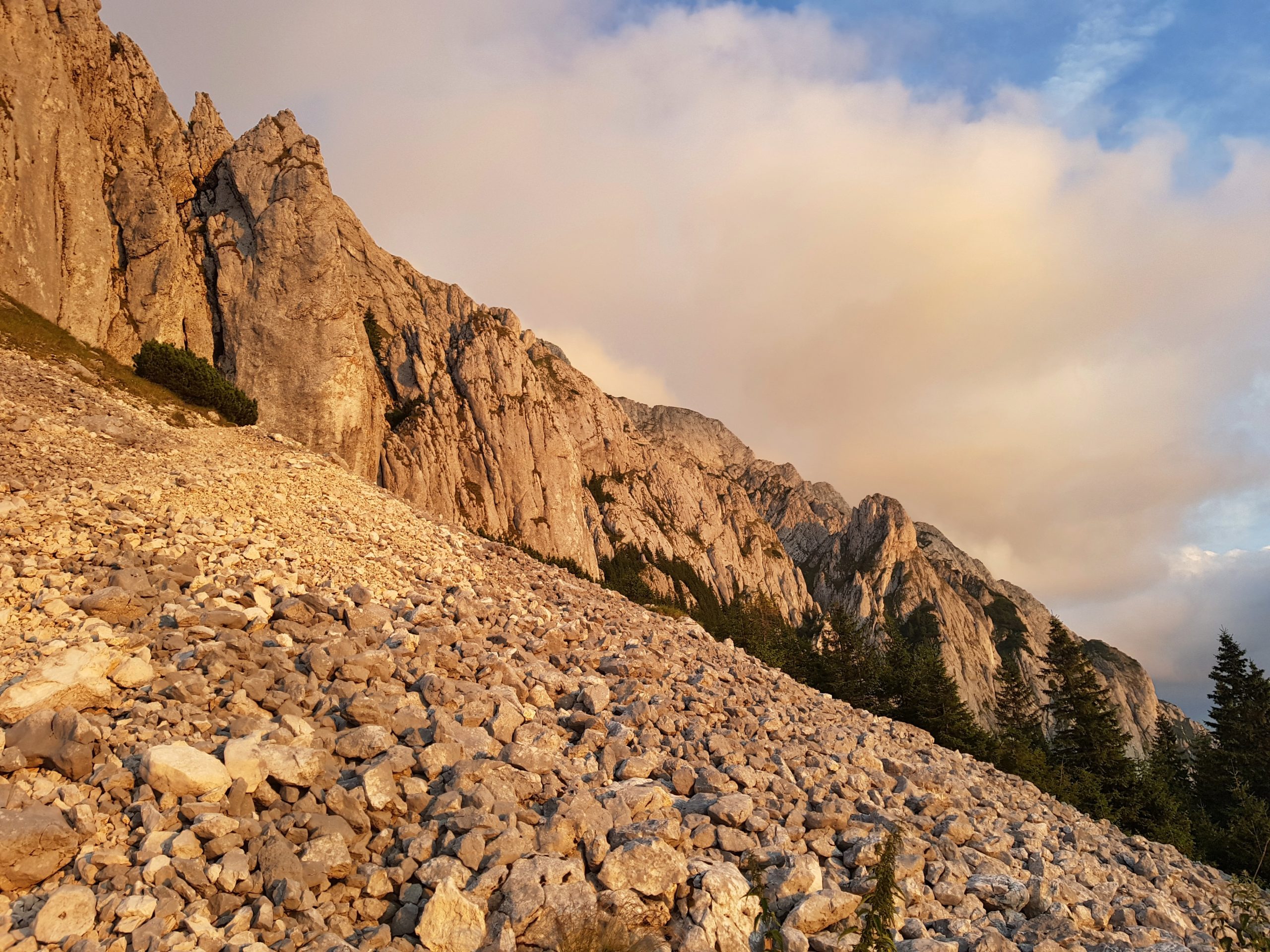
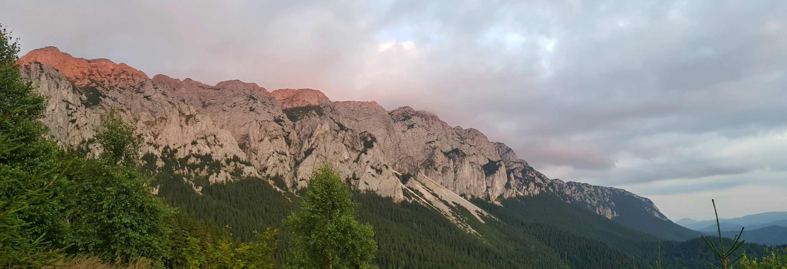
So after the breakfast in the hotel with such a generous staff I walked the most beautiful part of the Ciucaş mountains. The weather was great offering stunning views on the conglomerate sculptures these mountains are famous for. There were lot of blueberry pickers and no tourists but this changed as I was coming closer to the Bratocea pass (1270). However, all the tourists were one-day visitors only.

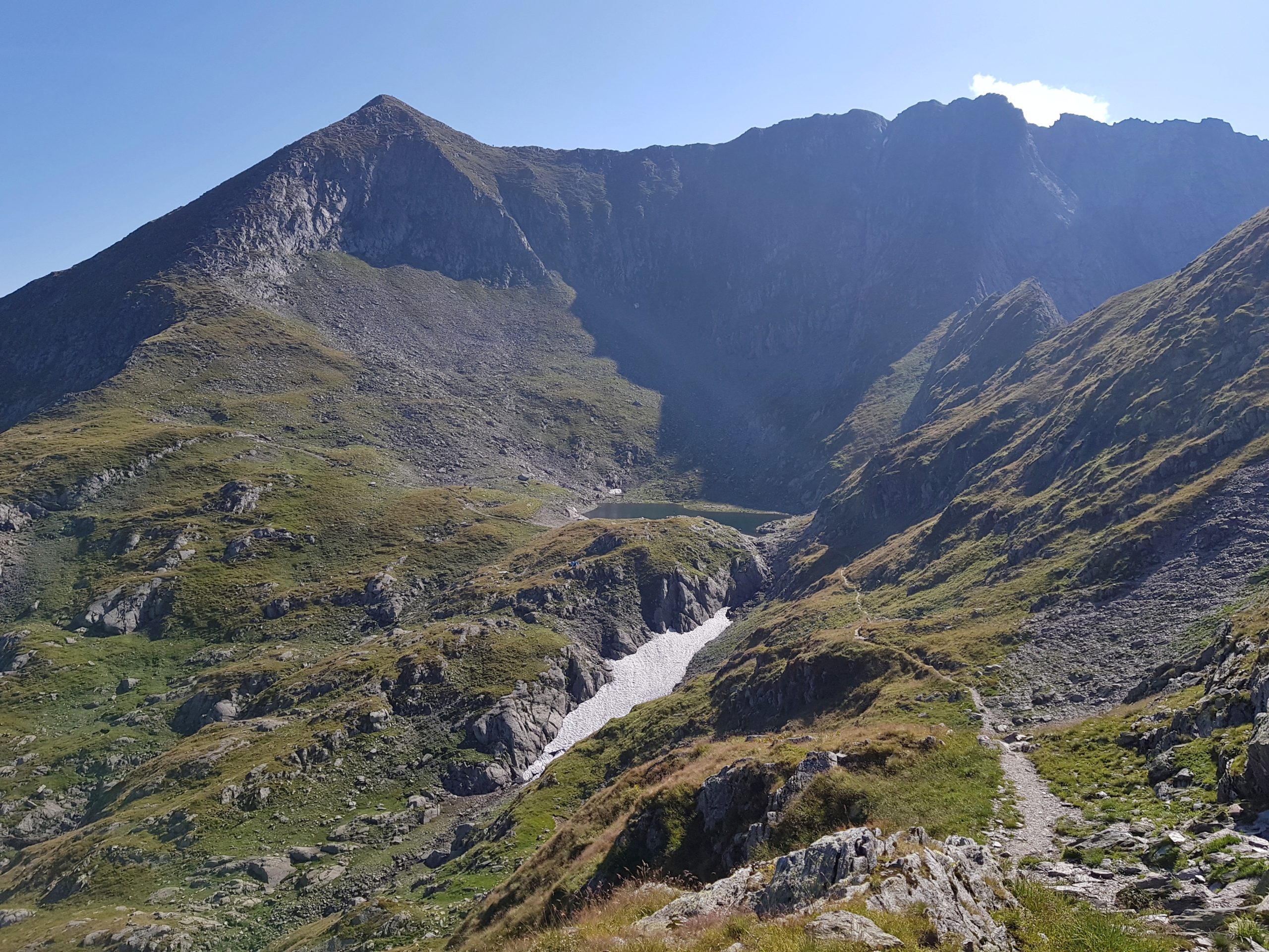
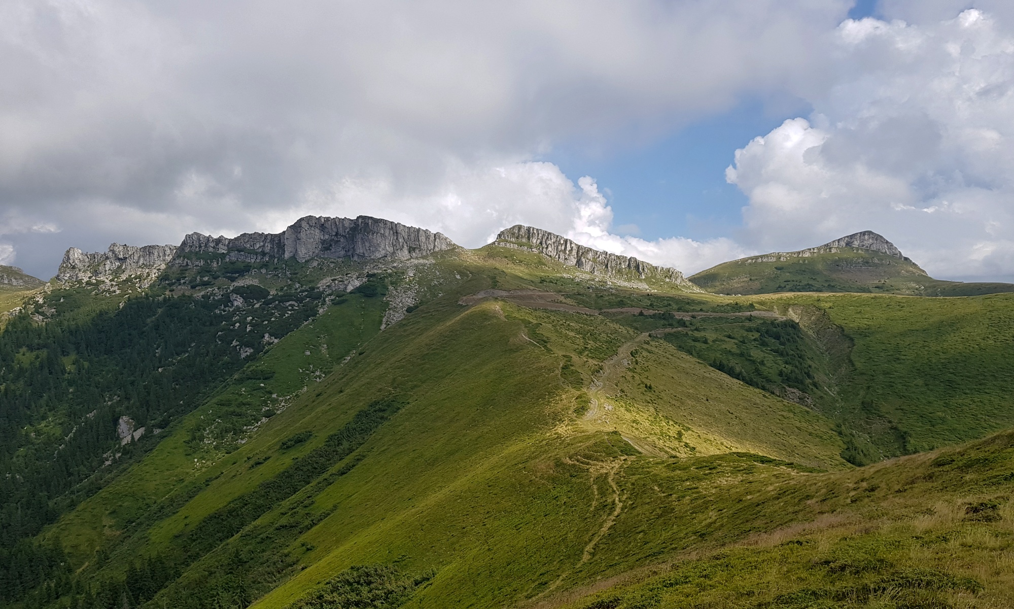
I followed my pre-planned trail through the Grohotiş mountains. A decision I later regretted. I was at the Bratocea mountain pass at about noon and at 5 pm still just 6 kilometres away as a crow flies. The main ridge makes here a big C-shape turn. Some parts are not grazed anymore so walking is a bit difficult whilst later the day I went through several dog fights in the areas with sheep. For the first time I could see clearances after junipers that were made by shepherds in order to enlarge their pastures. However, the eastern part of the mountains offered nice views towards Ciucaş.
Last year we shortcutted from below Paltin to Ciucaş through a valley with my son and wife and it was a good decision also from the point of altitude difference. I got under a severe dog attack at the same place as we did last year. Unlike other shepherds who are usually sorry they cannot control their dogs, this one was aggressive towards me saying it was my fault since I am walking alone.
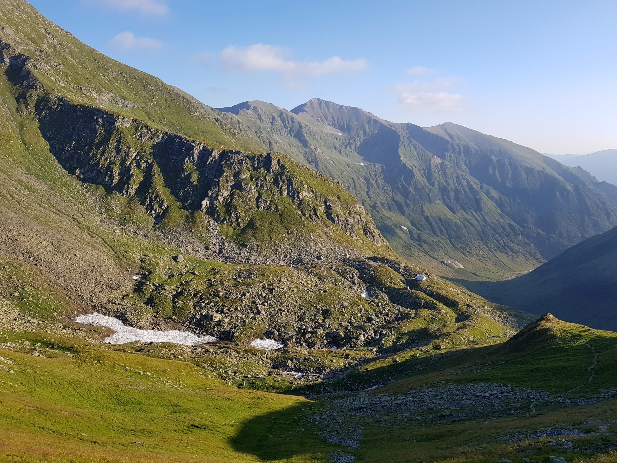
I wanted to end the day in Neamtu mountains that night. So I went to the dark ascending 600 meters from Predeluş pass taking one pill of fructose for every 100 altitude metres.
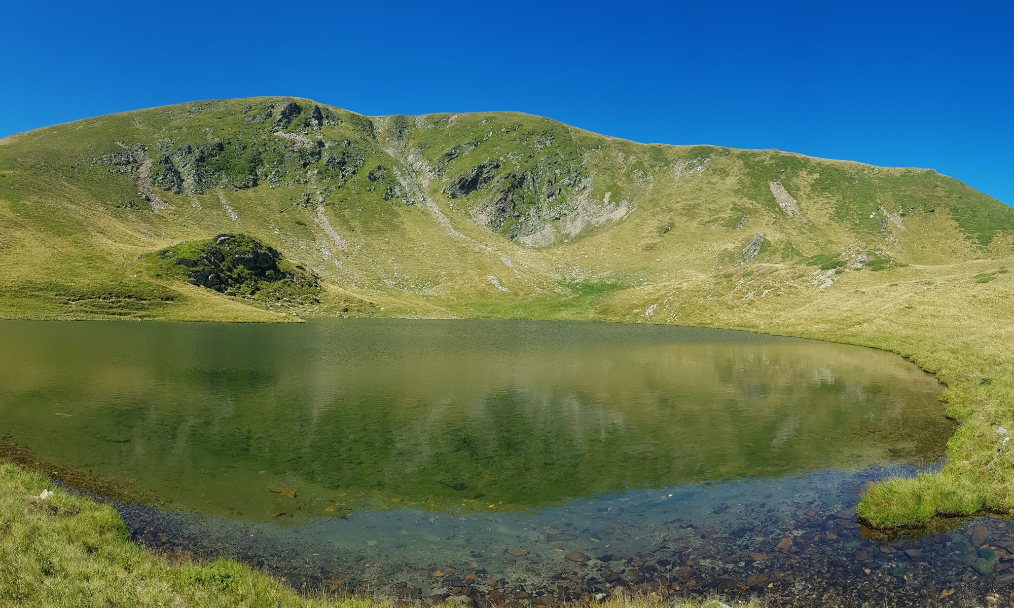
My backpack was light because I had almost no food left, but energy reserves were low too. Fortunately I got fresh memories about this range – it helps enormously if a hiker knows, where the water is and does not need to search for a good place to sleep. Exhausted I finally made it to the pass below the main peak – Paltin (1900m) cooked dinner on alcohol and went to bed. After a long time I got good sleep as the temperature and wind in the pass were optimal for my sleeping bag.
Exhausted and filled
I started as early as possible on Thursday 8th August looking forward to Buşteni where a support packet awaited me. I also wanted walk the mountains before the herds would come to the peaks.
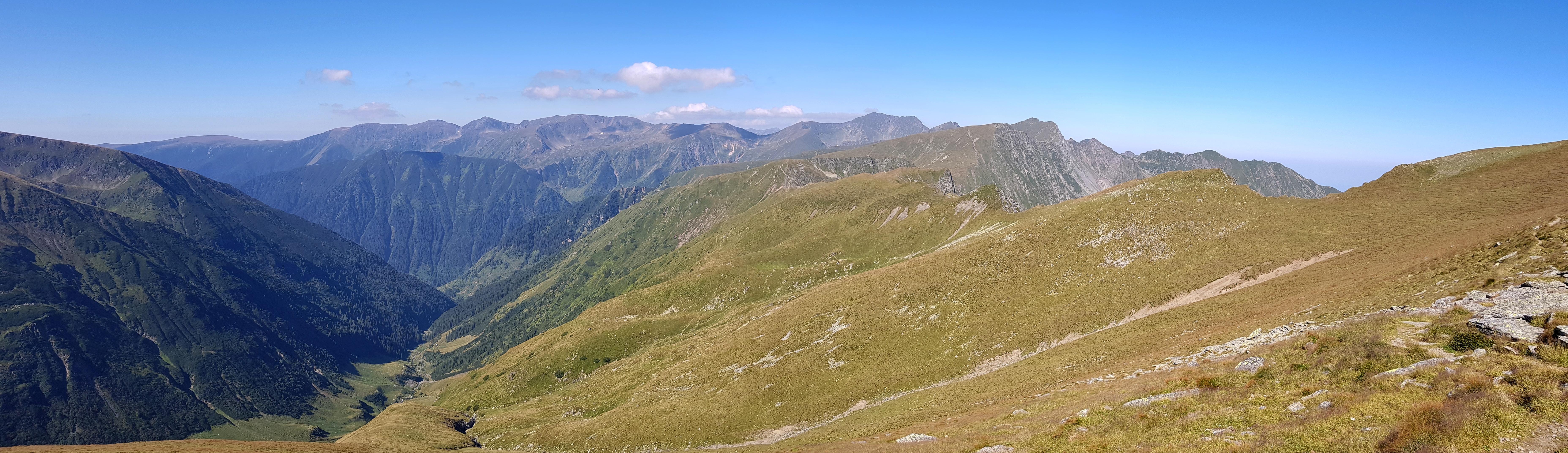
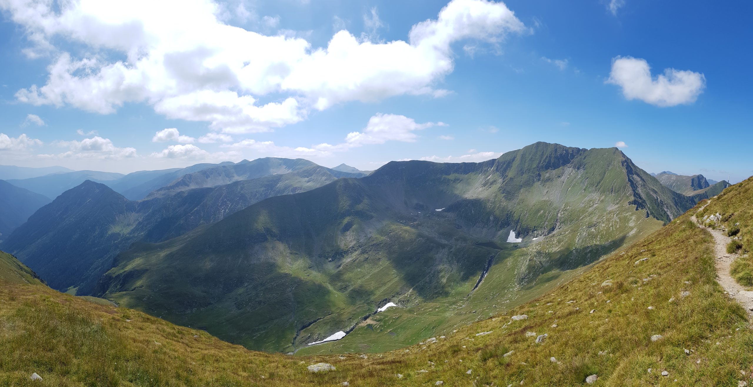
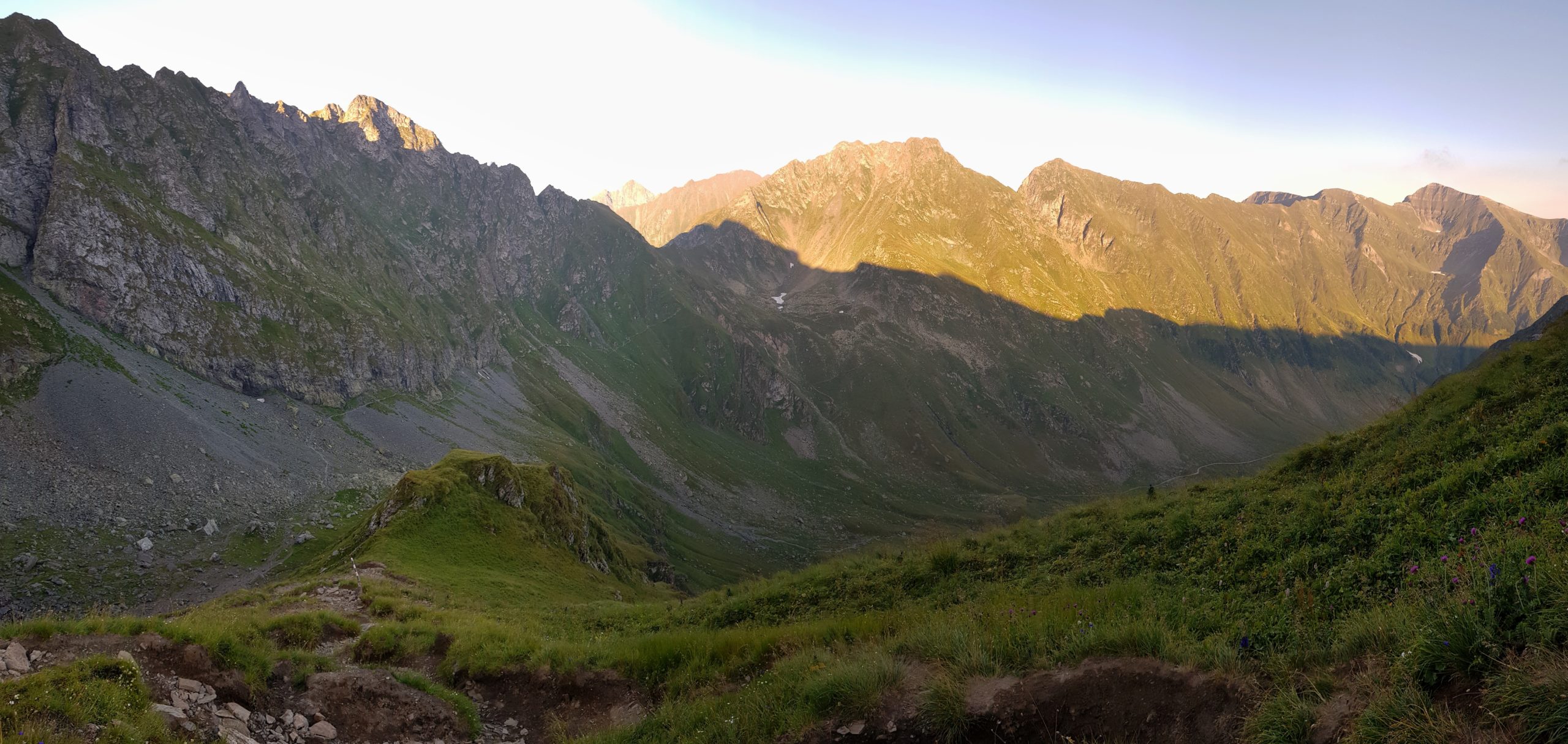
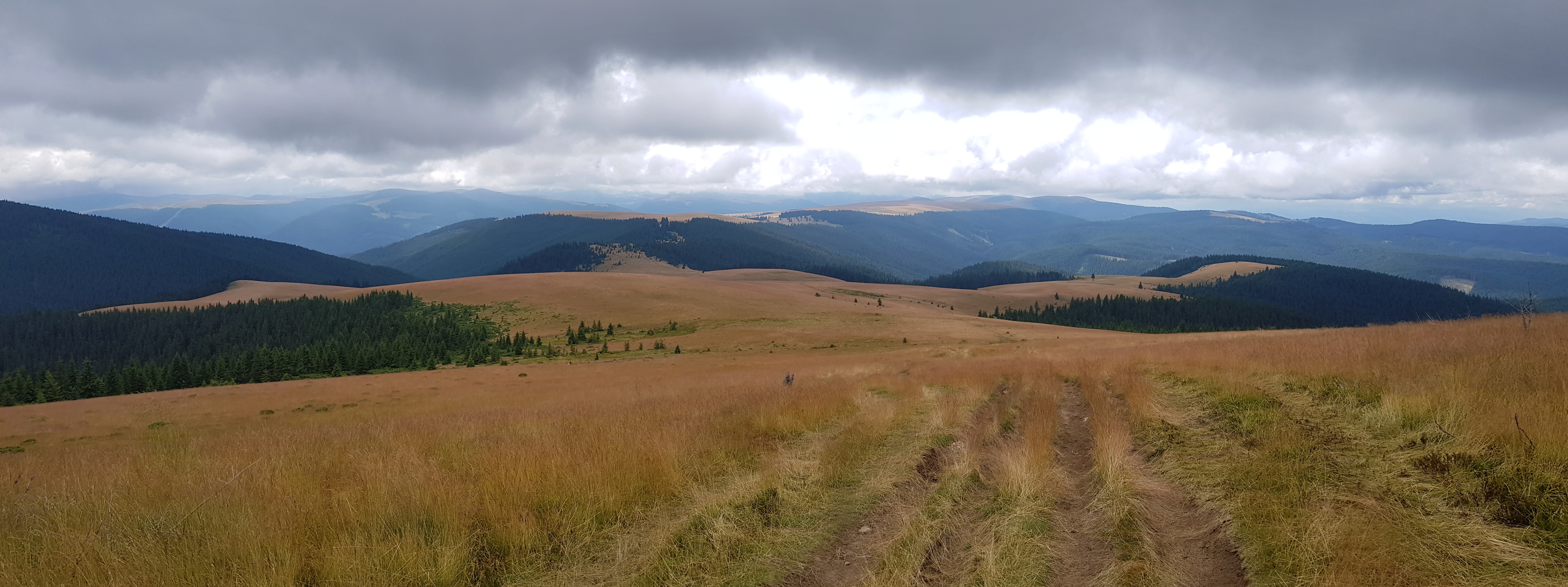
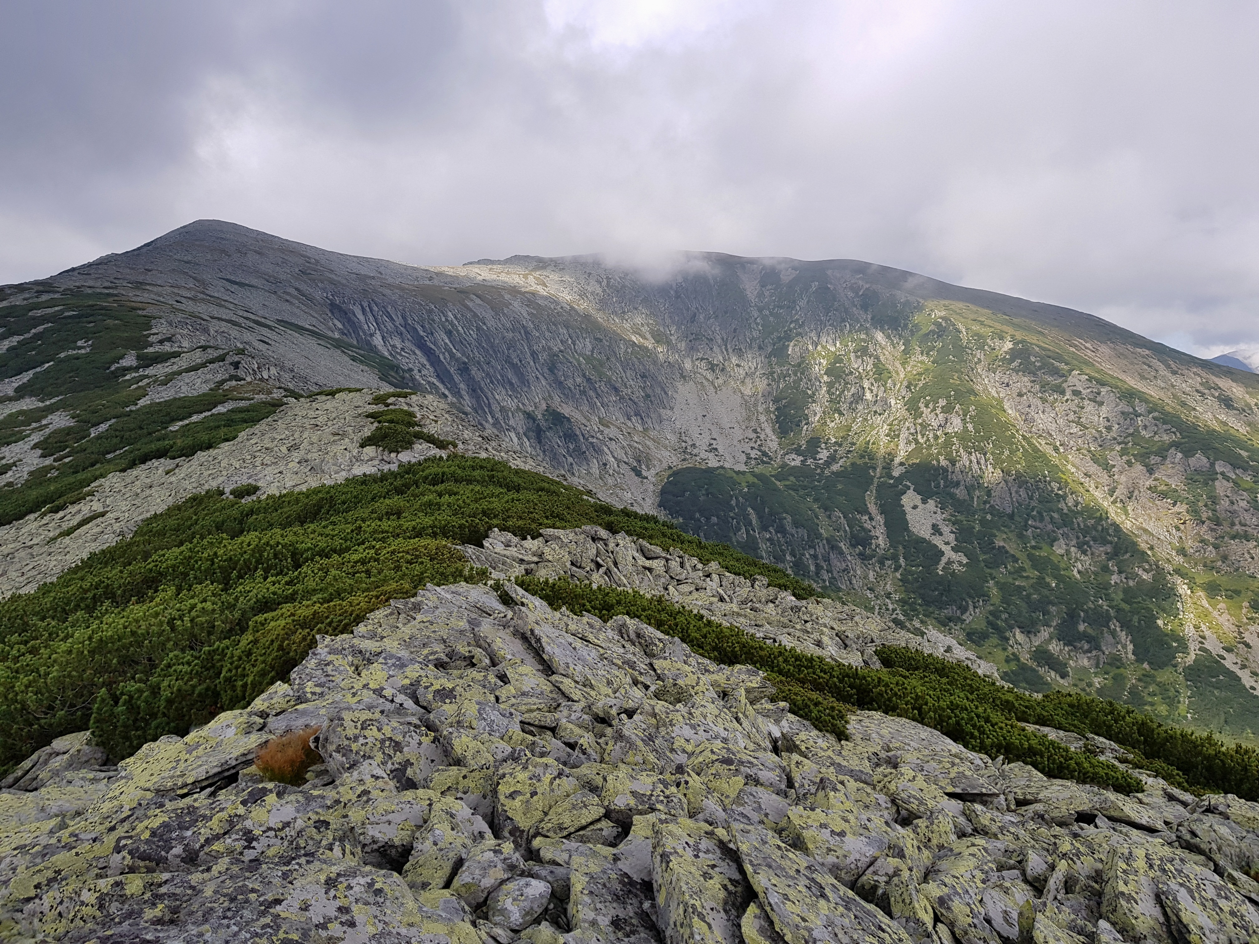
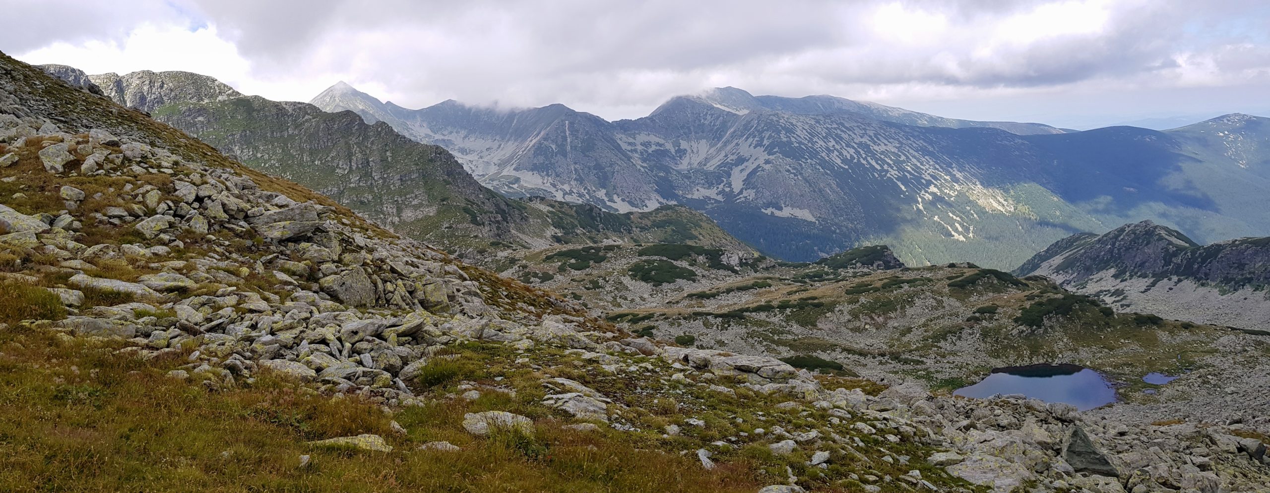
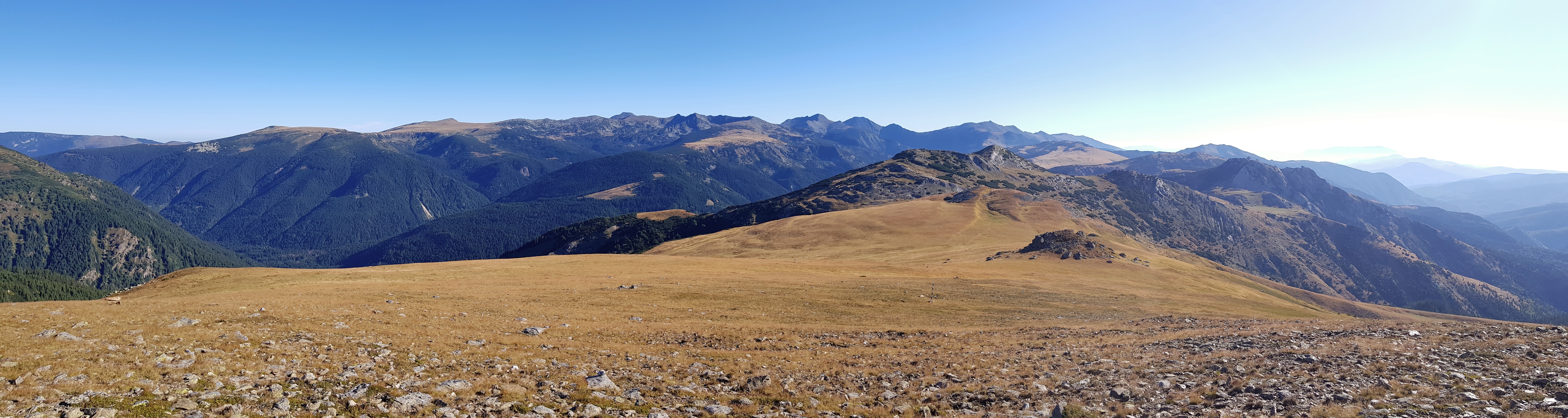
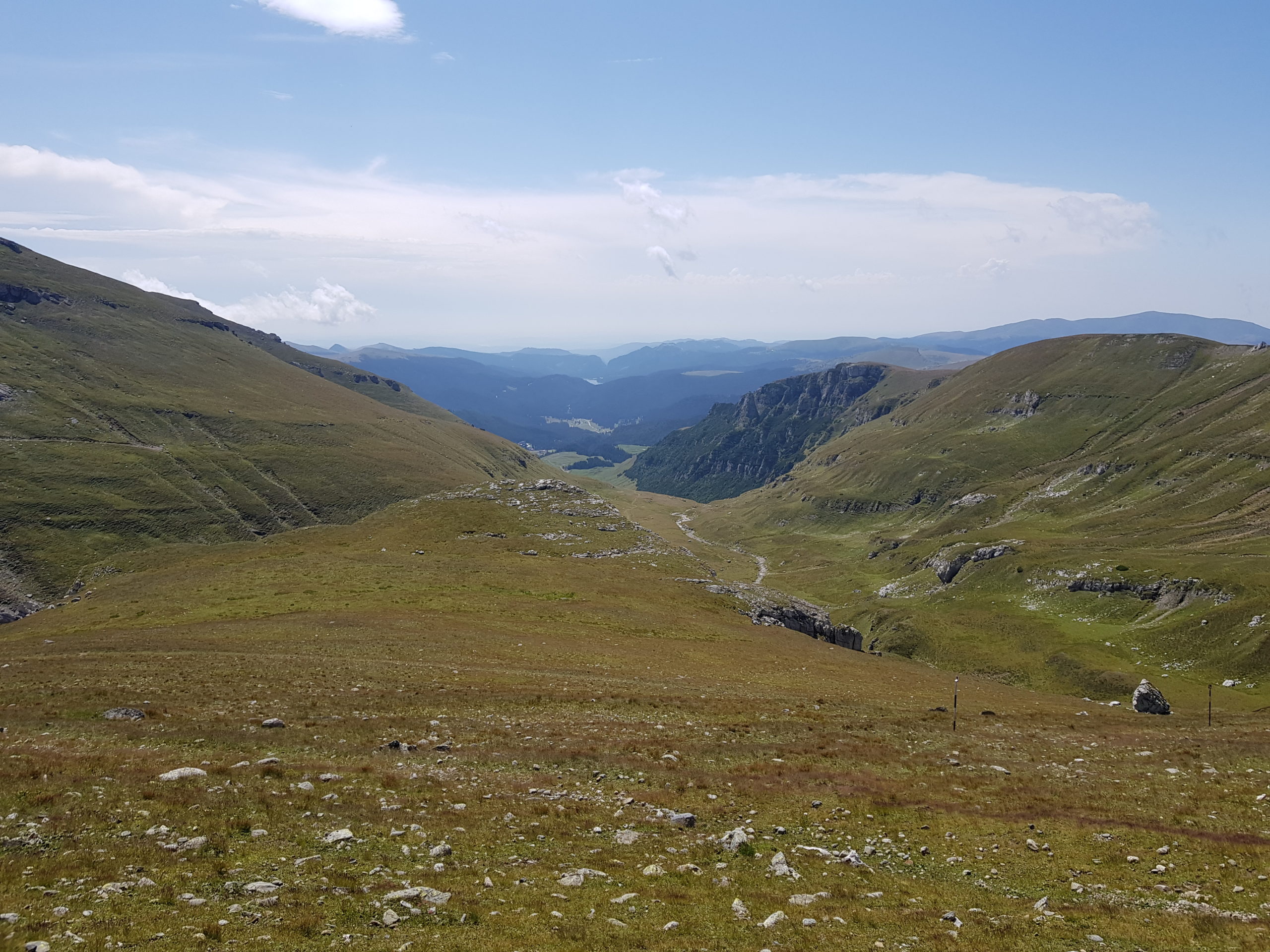
Unfortunately the way to Buşteni took much longer than I expected. On the other hand the weather was beautiful and the walk on the Paltiniş and Giugului mountains offered magnificent views over the ranges and towards the cliff of the Bucegi mountains. Naming of mountain ranges in this area is quite messy – using names of Neamtu and Gărbova would be correct too.

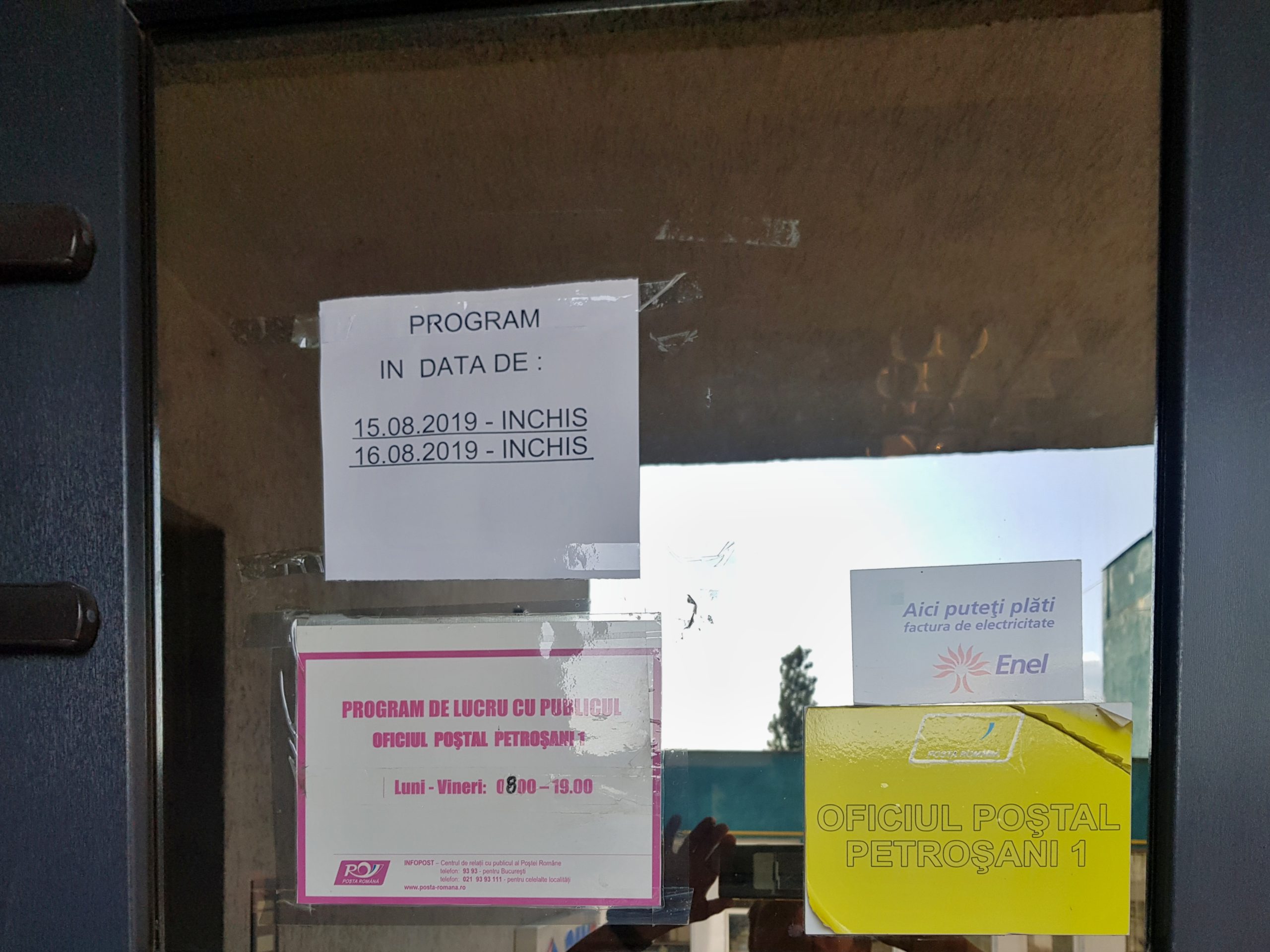
After a long descent I came to the town at about 2 pm, much later than I expected. My head was spinning from low blood sugar level so I first went to a shop to raise it with coke and ate as much as possible. Then my steps went to a vintage post office where I took the parcel I had sent from Borsec. I repacked it and send the things I would not need anymore to my friends at the Nocrich Scout centre. The operation took almost two hours and the clerks were so nice they allowed my electronics to charge meanwhile and tolerated the mess and smells in their clean kingdom.

Then I went to a confectionary and started shopping for the next ten days. I foolishly spent my time in two shops (Penny Market and ProfiCity) where shop assistants were sending me from one shelf to another just to acknowledge they had neither buckwheat, nor instant mashed potatoes or good instant soups. If I went to Carefour first, I would have saved my nerves and time. They had everything, even at different quality levels. As it does not make sense for me to buy large amounts while on the hike, I rather go for smaller package of higher price per unit, often organically grown.
It was strange feeling being in civilization again after one month in the mountains. I can remember the impression there are so many things available there that a man actually does not need for life, yet people buy them. The money also kind of lost their value for me. I was just buying what I wanted, knowing I can eat and carry only limited amounts. I must warn future hikers – there is no outdoor shop in Buşteni, though so many tourists go from here to the mountains. I wanted to buy a collapsible bottle and considered new hiking boots but there was nowhere to shop.
Walking back the entire town from Carefour I was looking for some accommodation. Though Buşteni is a tourist town full of hotels, there were no vacancies, probably due to the national holiday within that week.

When my stomach got ready to accept another meal, I went for a pizza right next to the cable car station, with the idea to walk to the refugiu 1,5 hours away from Buşteni. It got dark when I started walking but a man stopped me saying that the tourists that just came my planned way saw bears. So when I saw a nice meadow just few hundred meters from a hotel and the station of a cable car, I built my tarp there. Before I finished the construction, a car came and started shooting at bears that were trying to enter the town just hundred meters from me. However, I felt safe as there were other settlements with dogs between my tarp and the mountains.
Thunderstorm at Bucegi
It was still dark when I got up and swiftly packed. I decided to go up by the cable car that operated from 8:30 am on Friday 9th August. Though the sky was dark with forecasted drizzling, the queue for the cable car was already about hundred meters long, when I joined it at 7:45 am. There was a pack of taxi drivers who used the opportunity to persuade queuers to give up waiting and go up with their cars for similar price. I started conversation with one family that was queuing next to me and they helped me when the operators were searching for a single person to fill a cabin, thus I was able to skip half the queue. The ride offered breathtaking views and I was happy to take it.
With the cable car I got swiftly to the mountains along with dozens of tourists, most of them not equipped for walk in mountains. After making mandatory photos of rock sculptures, I walked fast towards Omul peak (2507) as a thunderstorm was approaching from Leaota mountains. When I reached a mountain rescue service station under Baba Mare (2292), I realized the storm was coming much faster and I ran as fast as possible back to the closest mountain chalet.

I came just in the nick of time – it was already difficult to climb the stairs to the chalet due to wind but I made it right before the storm started. Along with dozens other tourists we filled the restaurant and watched lightnings beating the range from behind windows. I used the opportunity to write the blog and chat with a Polish couple that was exploring Romania for the first time. Writing a day takes me between 0.5-1 hour so the restaurant was empty when I finished the week as the sun was shining again. I ordered a soup believing they let me charge my smartphone but they refused. If they only knew what this meant to me.
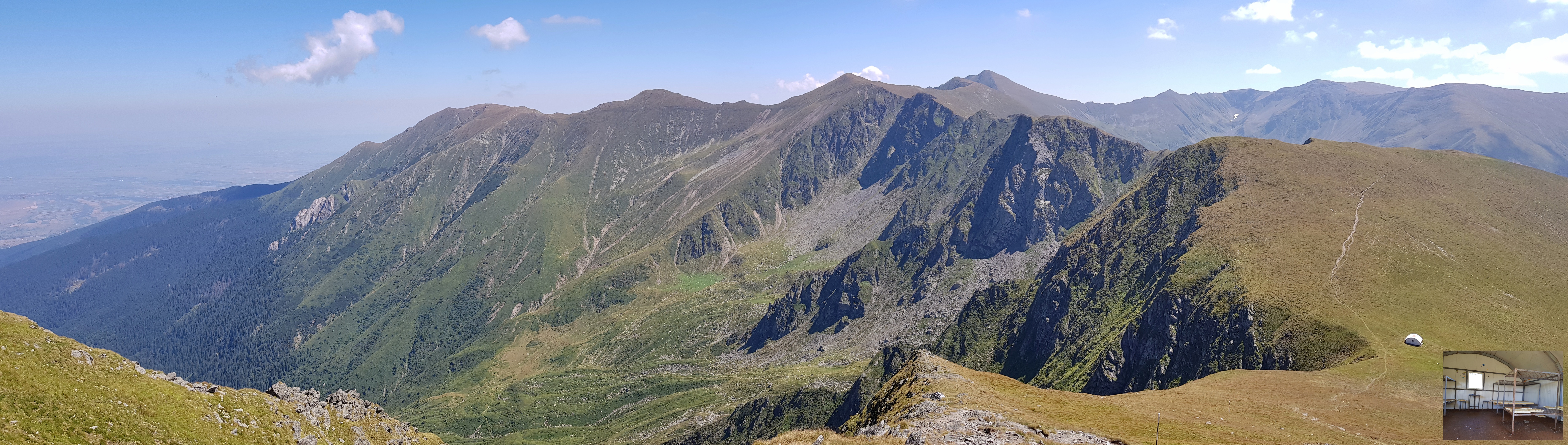
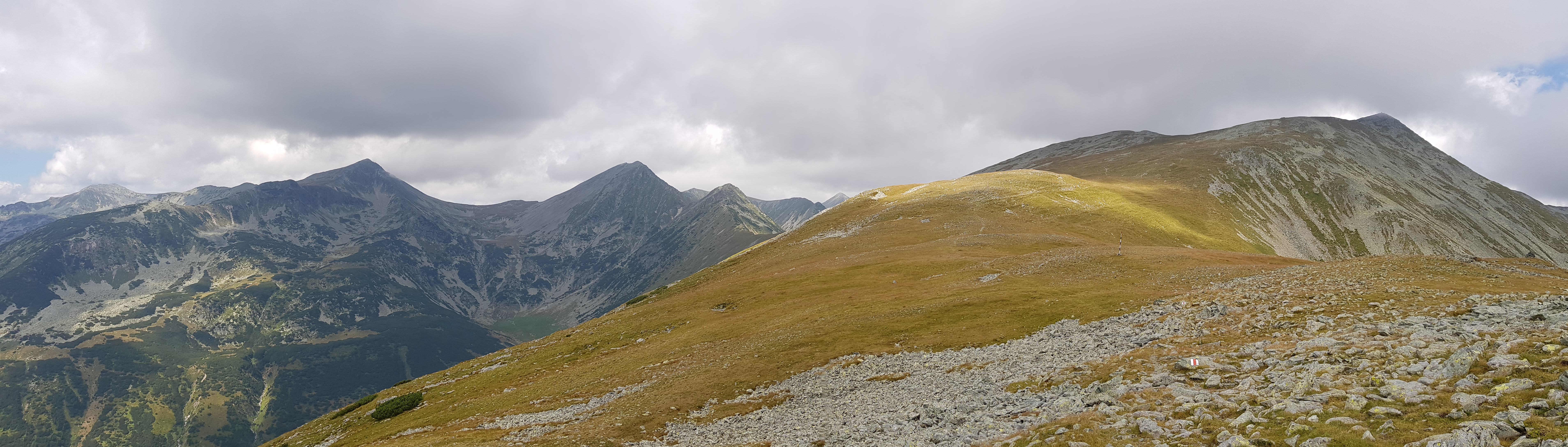
The walk across Bucegi mountains was fast and beautiful. Visibility was great after the storm and my biggest problem was not to take too many pictures as the air was clean and the sky clear after the thunderstorm. When reaching the western ridge, where one-day tourist do not make it, I could see the wall of Piatra Craiului to the west.
Valea Cerbului 
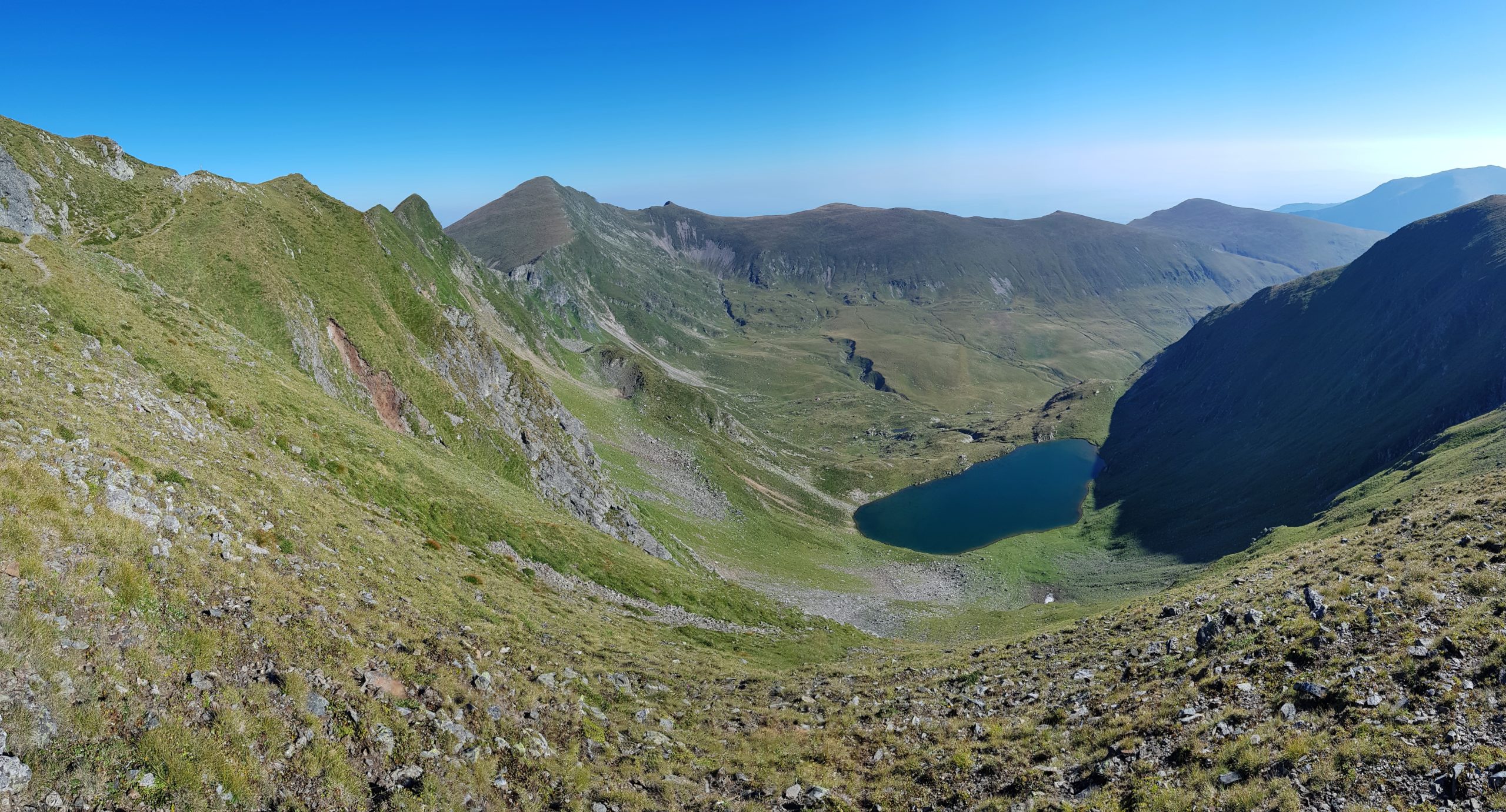
Central Ialomita valley 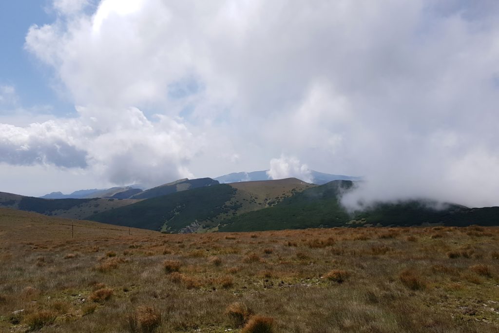
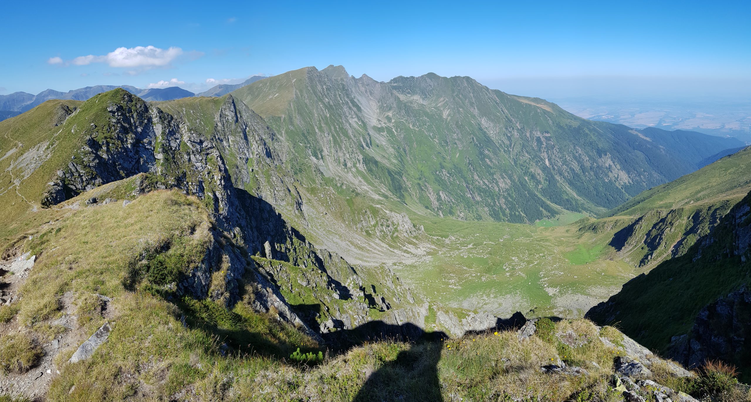
Towards Refugiul Șaua Bătrâna 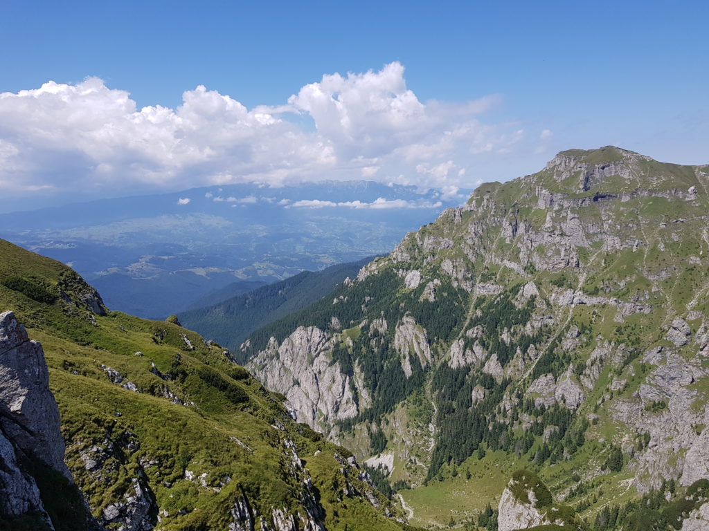
Piatra Craiului on horizon 
Coltii Tapului (2151) 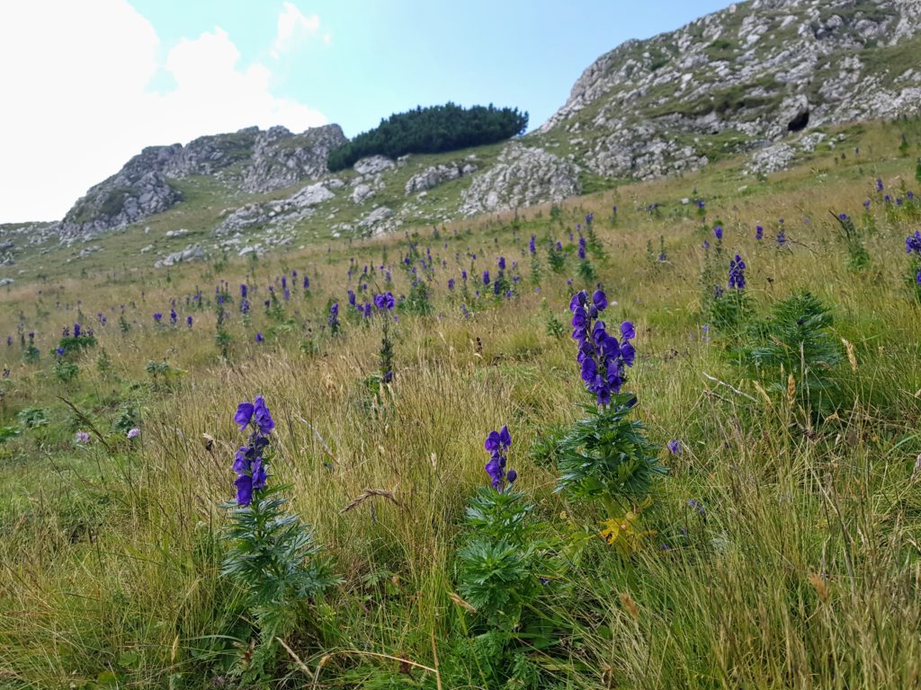
Aconitums – monkshoods 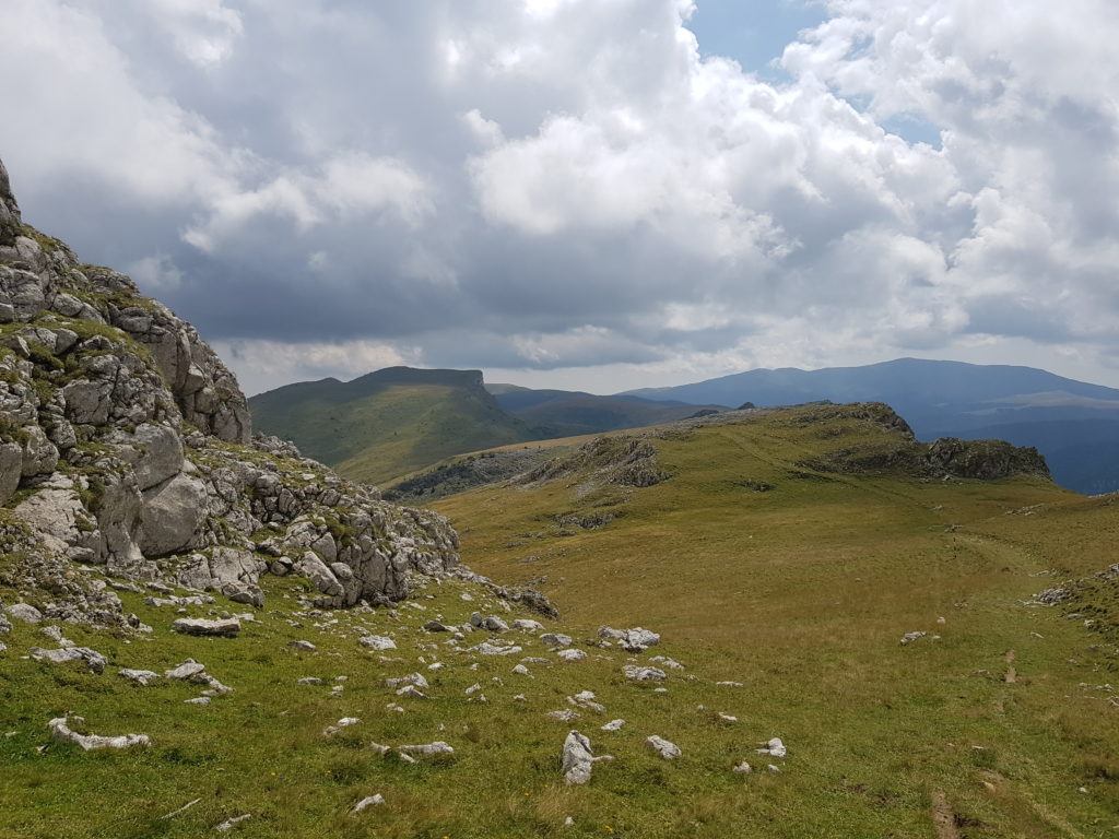
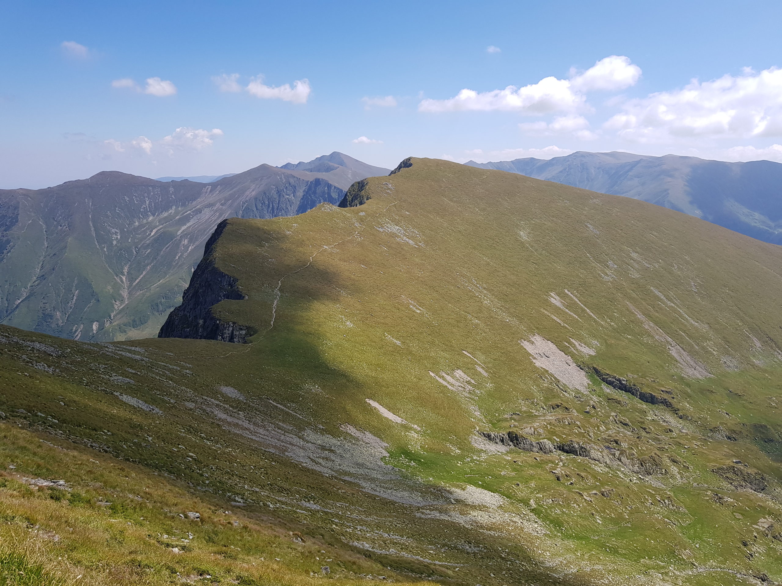
Leaota on horizon 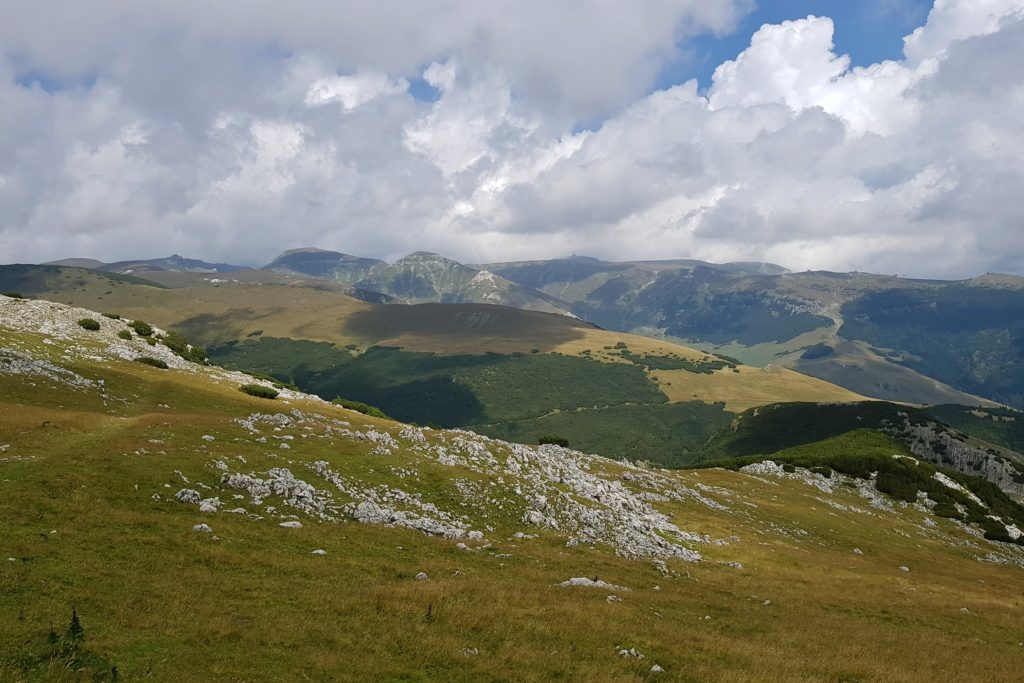
View towards Cocora (2191) across Ialomita valley


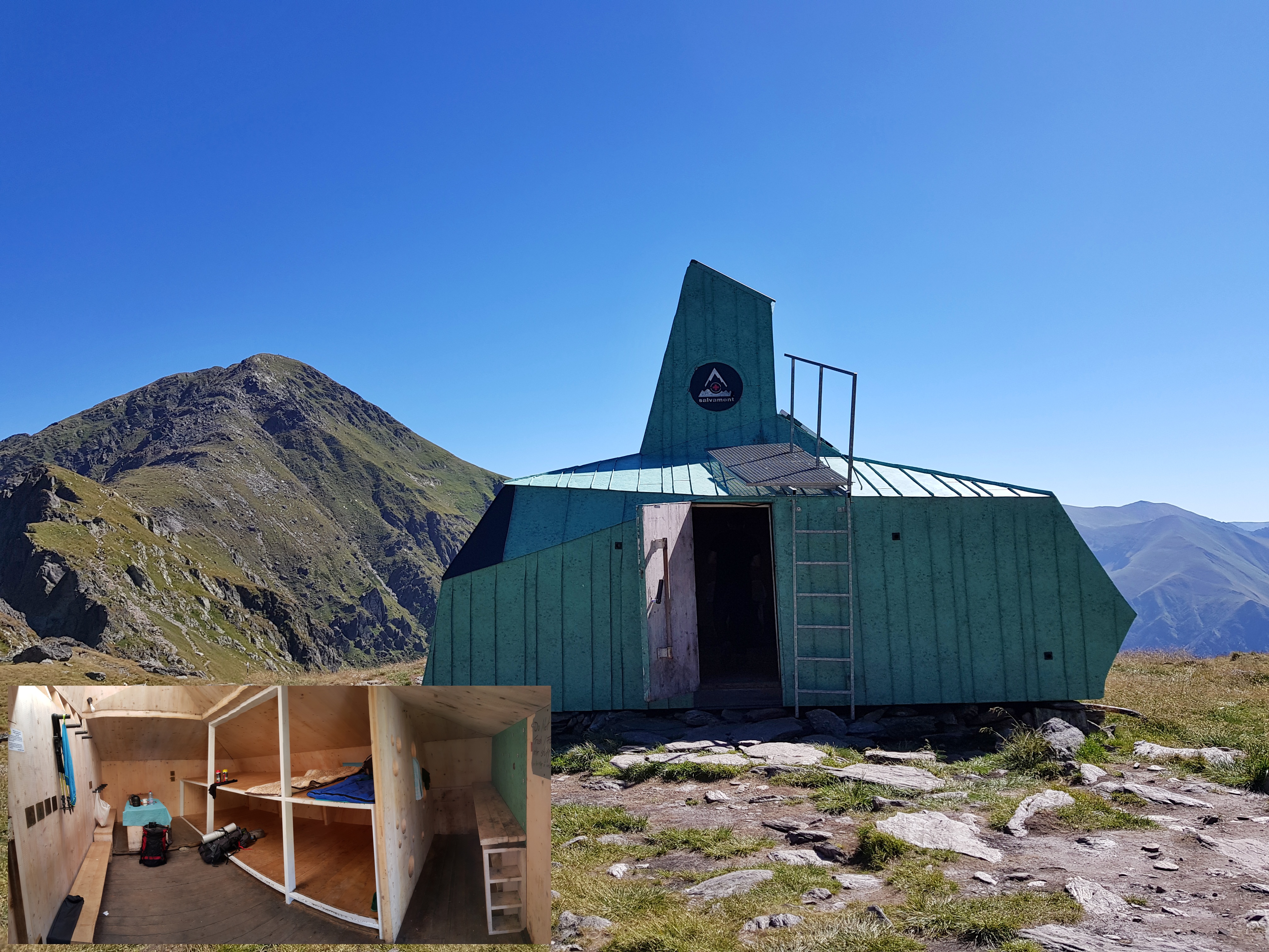
I made a lunchbreak at Refugiu Șaua Strunga (1893), where I met a first multi-day hiker since Călimani mountains 500 km away.
He was out only for one overnight with surplus of food so I gratefully accepted his offer of canned sardines. What a difference from the last year, when we were crowding inside with a group of French scouts and some Romanians during rain. From there I continued to Leaota mountains admiring beautiful views on the western cliff of Bucegi.

Despite of the beauty, the walk seemed too long to me. I can say that in general I underestimate the connecting ranges and overestimate length of the main ones. Actually connecting ridges are more difficult as the trail is not marked or marked poorly and it might be a lot of walking up and down. Though I wanted to come closer to Fundățica village, I stayed overnight in a forest 5 kilometres away near a good water source. This enabled me to have shower and make laundry the next morning.
Superclimb on Piatra Craiuliui
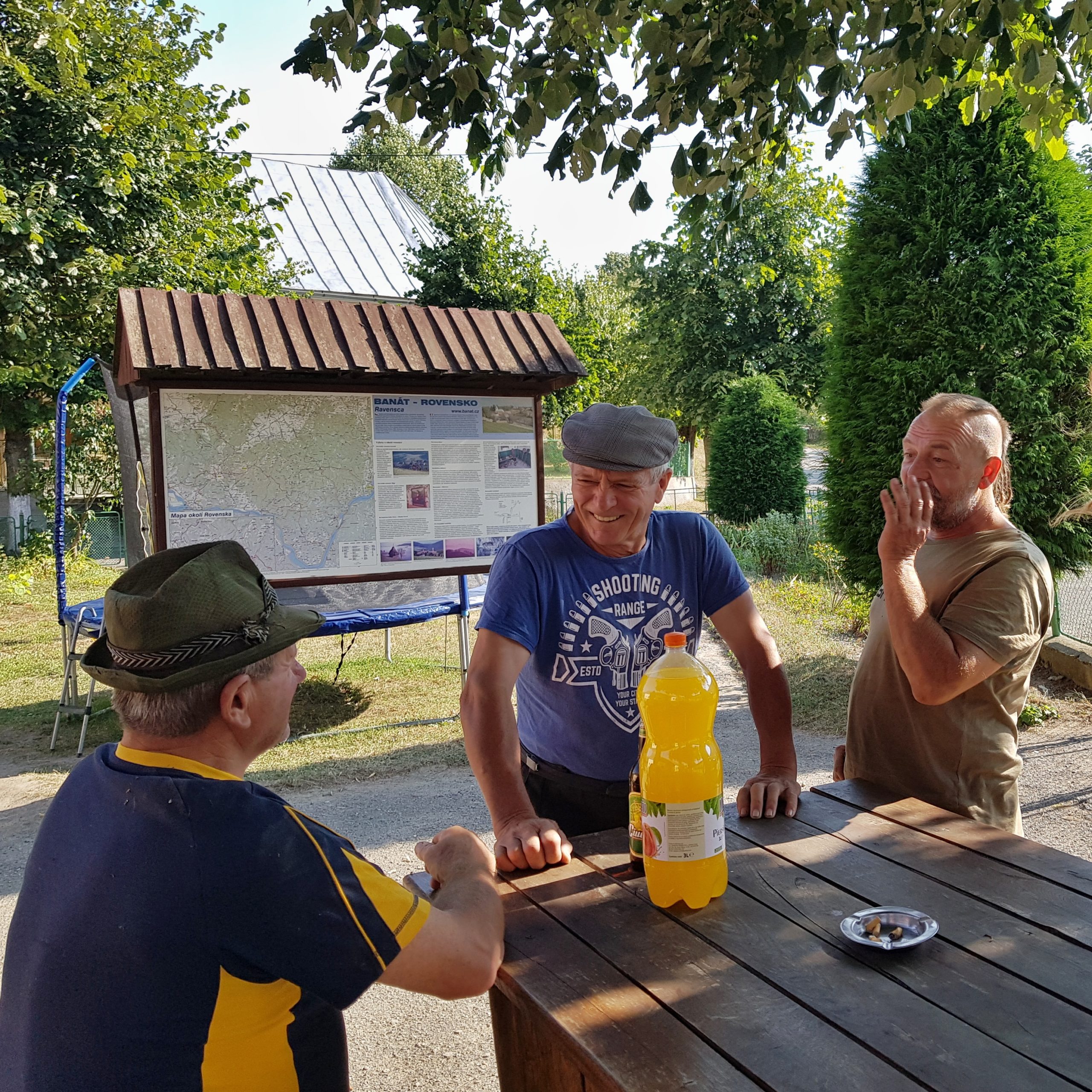
A family searching for mushrooms passed by early morning of Saturday 10th August. They were surprised to see someone camping in a forest but we turned it into a friendly conversation.
I walked fast which resulted into losing the way twice. In the village of Fundata I found a shop and planned to buy the rest of the food for Piatra Craiului, Făgăraş and maybe even Lotru mountains I intentionally had not bought in Busteni to save weight. The shop was a huge disappointment. They even have not got sugar! Oil and chocolate were the only commodities I took from the shop, no dry fruits and no sugar. I also repaired my shoes with fast glue. My trail continued to settlements that have recently been acquired by people from cities as weekend homes. Unfortunately their rebuilding efforts often do not respect regional architectural heritage. We agreed on that with a Romanian – Belgian couple that joined me for a mile.
At 4 pm I was near a spring under Piatra Craiului. In my original plans this should have been my camping spot, however, my timing planned 4 months before did not work like that. So I decided to ascent 800 metres up the steep slope of Piatra Craiului with the idea to either stay at refugiu under Omul peak or descent the same day on the other side of the range. It was Saturday and Piatra was busy. Much busier than last year, when we traversed the whole cliff south-north meeting about 20 people throughout the whole day. I can without exaggeration say, that within 3 hours I met more hikers here than I had met for the last 30 days / 1000 km. I could also spot one of many capricorns living here.
The 3 hour route (according to the tourist signage) took me only 100 minutes. This time Piatra did not show its beauty as the higher parts of the cliff were in clouds.
When I reached the refugiu under La Om (2238) peak there were about 15 people desperate to find a place to sleep on the outside as the refugiu was full and others were still coming. So I started to descent the western face of the cliff. I quickly realized how poor my memory is. I could remember steep descent from 1998 visit but it was actually much harder then I had expected. The climbing is level 4 at some points and falling stones from other tourists are the main danger. The effort was rewarded by beautiful views towards Făgăraş.
Anyway, used to climbing I was down sooner than other tourists we were having conversation with but it was getting dark fast and I had no water. I followed the western cliff to the south, the foothpath was barely visible and scores of tourists disappeared. Fortunately I met 3 older men, mountain veterans, I would say. They were excited about my journey and gave me tip to a camping spot with a water source nearby. They also estimated I could be in the pass under Zorna tomorrow and finish the journey in 20 days, which was a bit depressing considering I got only two weeks remaining.

I tried to find the spot as fast as possible but 1) I could not stop watching the cliff turning red at sunset and 2) I needed to go through a clearcut overgrown by vegetation so it was almost dark when I reached the meadow the mountain veterans advised. There were some sounds from the forest during the night but I could see no bears coming to the meadow.
Begging for food
The day looked great in the morning of Sunday 11th August. I started early and enjoyed watching as the first sunrays touched peaks of Papuşa (2393) from my spot. I found the water source, cooked breakfast and started walking what I thought was short and well marked connecting ridge between Piatra Craiului and Făgăraş.
Unfortunately after few kilometres the trail got into clearcuts, and both the marking and the path were difficult to find. Relying on maps in my smartphone sometimes worked and sometimes not. The trouble of clearcuts in Romania is that there are often tree trunks left on the ground a hiker needs either go around or crawl through, they are overgrown with grass, bushes (raspberries and blackberries) and pioneer trees (birch, mountain ash). While crossing one fallen tree a branch stung me just an inch from my eye.

I definitely suggest hikers to descent to Plaiul Foii and walk towards the eastern Făgăraş through the valley.

Late afternoon I made it to eastern Fagaras and started meeting groups of tourists descending the range. In cases they were hikers I politely asked whether they have some dry fruits left to share or sell but without any success.
A group of Hungarians asked me for my name and when I said “Michal Medek” a guy was excited and started taking pictures of me. “www.transcarpathian.org” he said. Yes, we know you, you met our friends in Slovakia and Ukraine. Frankly speaking I can remember only one Hungarian ultralight hiker I had met in Slovakia, but I did not want to spoil their joy, notwithstanding they gave me a chocolate bar.
I also met a Polish group who told me they met a Polish hiker – Michal two days ago who also goes the Carpathian arc starting in April. This meant I was close to the guy whose record from mid-June I could read in a logbook on Munții Rodnei on 21st July. I wished I could meet him and have a chat about the mountains in the east, so I sent him a message through Facebook.

I tried to get most of the good marked trail and catch up what I missed earlier the day so I put all my energy to walking fast. I came to the Zarna pass (1930) at about 9 pm. There were two Polish girls and a group of Romanians in the refugiu. We quickly made friends and the girls shared with me some surplus food, including much needed dried fruits. Unfortunately they mixed walnuts to everything so I needed to take them out due to my allergy, which helped only partially. So unlike 21 years ago when we were kicked off from the refugiu to the rain by a group of Romanians with no tents and sleeping bags, this time I stayed under the roof.